I think Utah should be called “The 3D State.” Nearly everywhere we went, there was our level – the one on which we were traveling – then levels above us (mountains, mesas, and buttes) and levels below us (arroyos, gulches, and canyons). In both our hikes and scenic drives, we rarely stayed at one elevation. We constantly went up then back down or went down then back up. Either way, we had good stretches for our legs when hiking and good stretches of our necks when enjoying the views. For two days out of Monument Valley, we got to experience this phenomenon firsthand as we visited some beautiful places a bit off the beaten path.
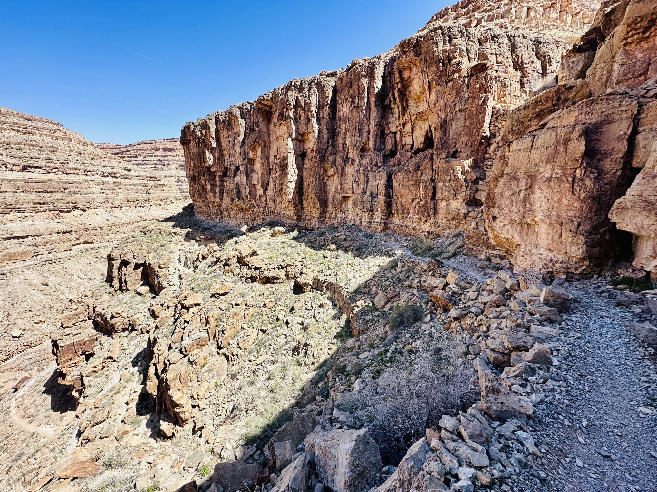
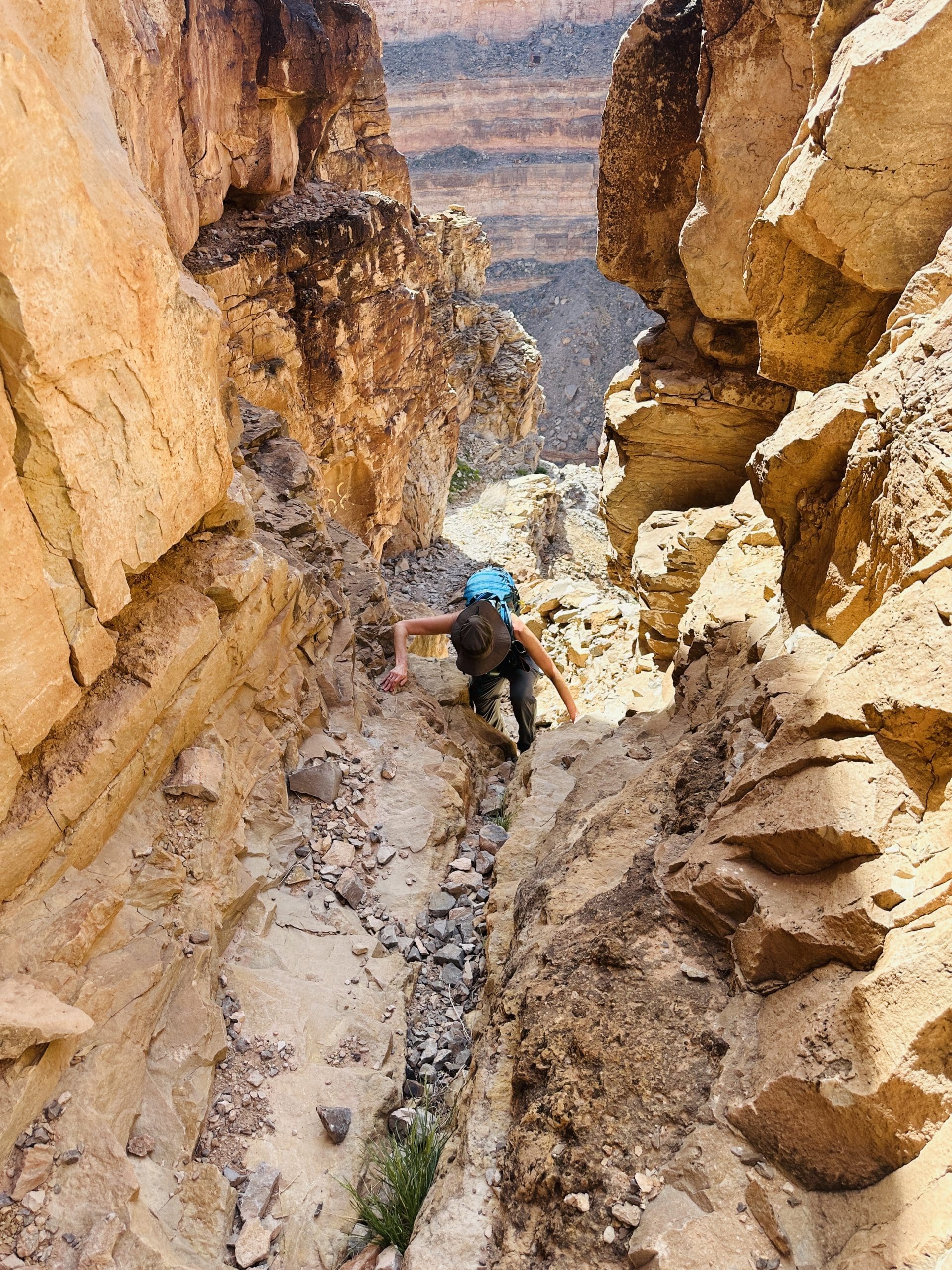
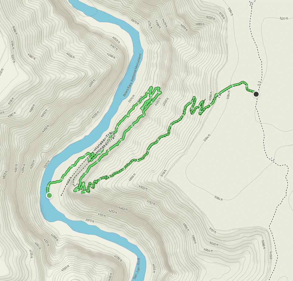
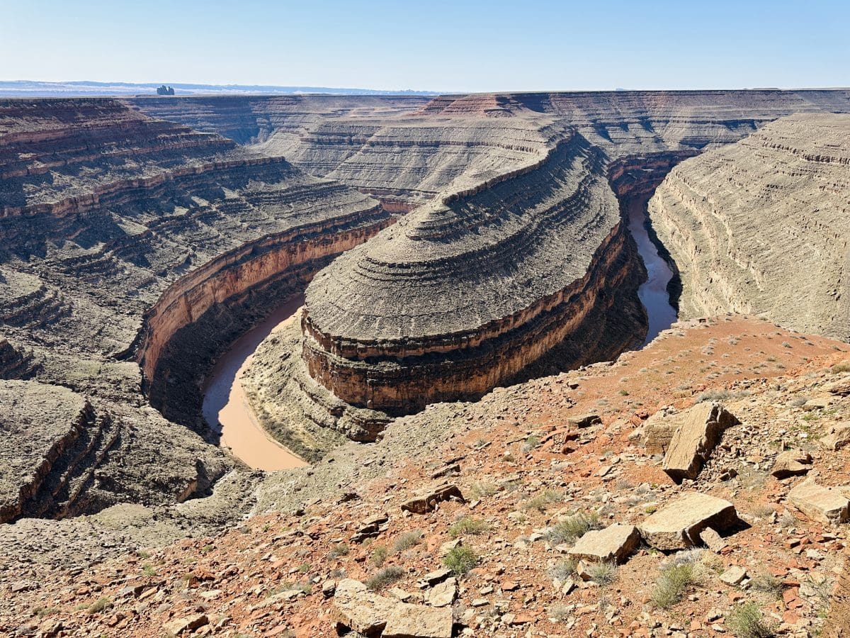
In this fairly remote and rarely-visited state park on a meandering section of the San Juan River, we hiked down and back on the Honaker Trail, originally blazed by gold prospectors in the late 1890s. It was an interesting trail that combined many horizontal stretches along the top of geologic strata, then steep scrambles in the cuts from one stratum to the next.
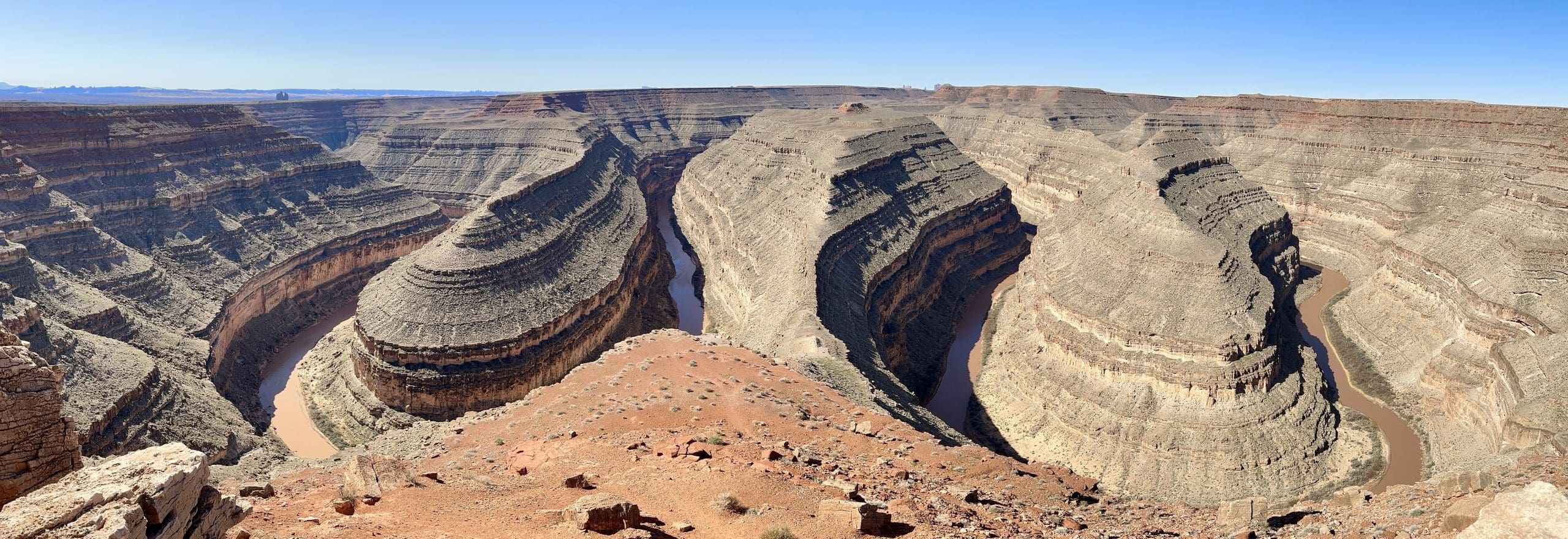
From the lone vista in the park, it was easy to see how the Goosenecks name was derived.
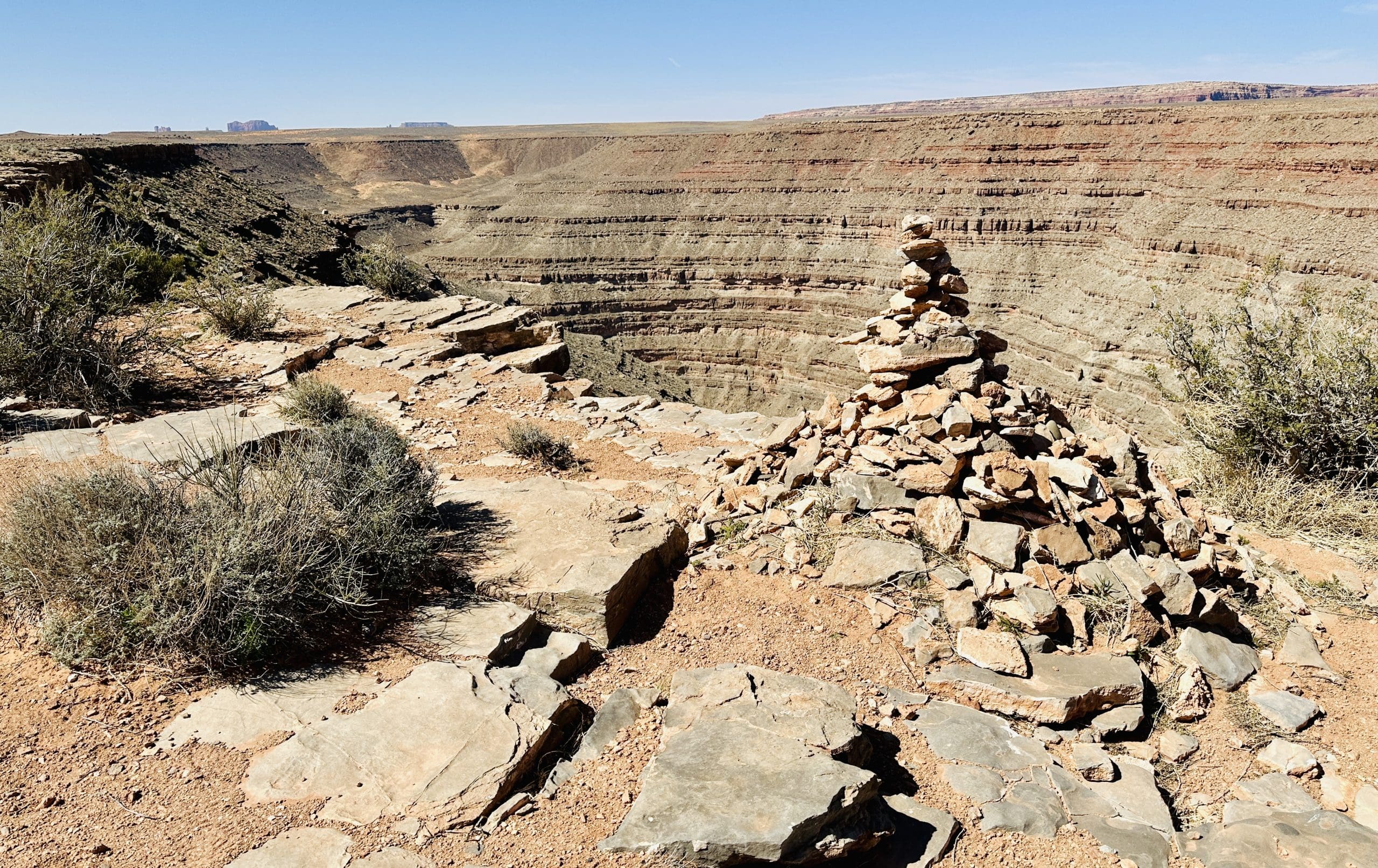
We found the start of the Honaker Trail only after driving many miles on an unimproved dirt road to this cairn. The only other people we saw on the day were river rafters floating their way to the upper reaches of Lake Powell.

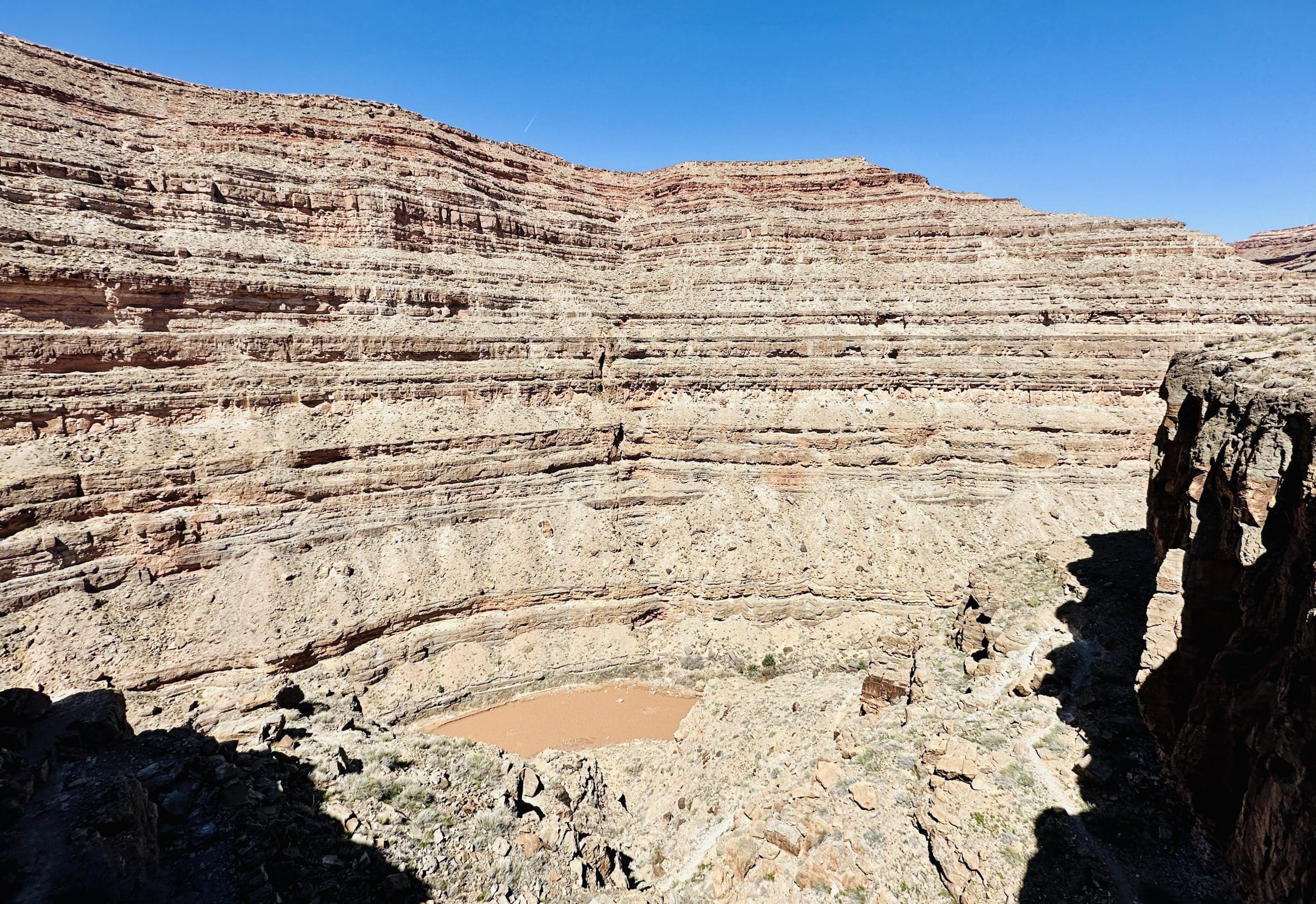
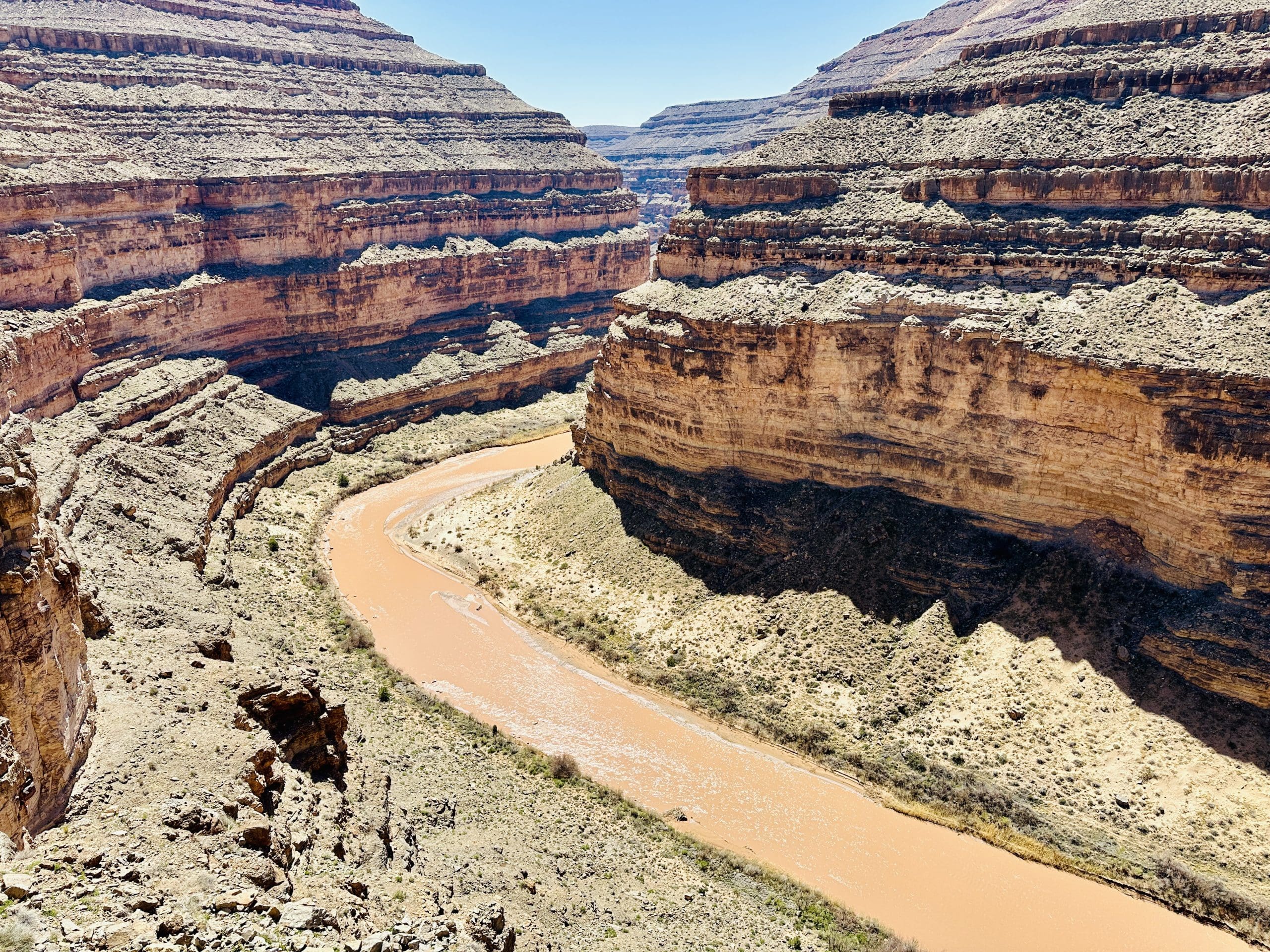


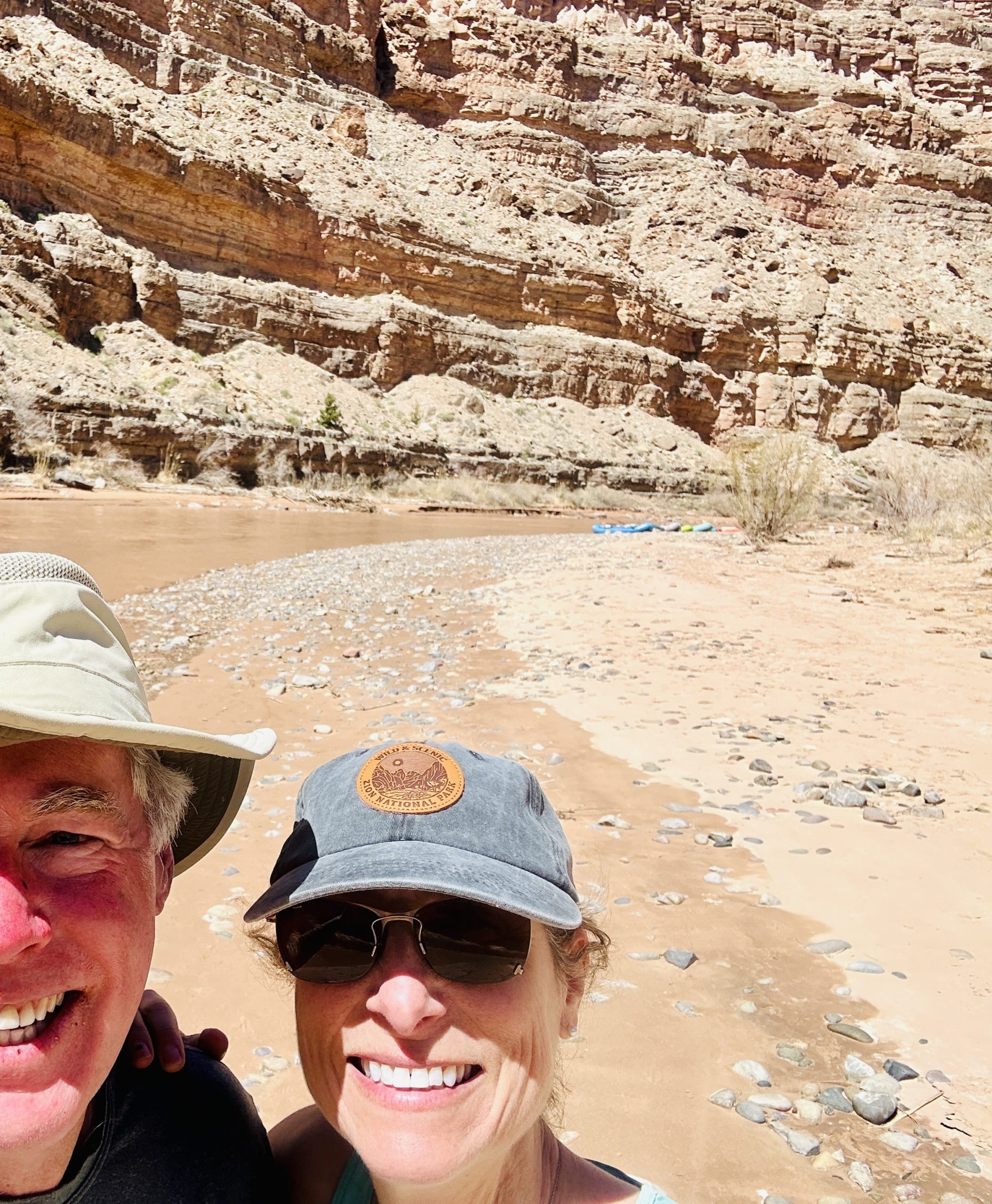
Our first sighting of the river rafting campsite below.


Going down through the cracks was tricky. Coming back up was hard.
Once back to “civilization,” we stopped below Mexican Hat Rock…

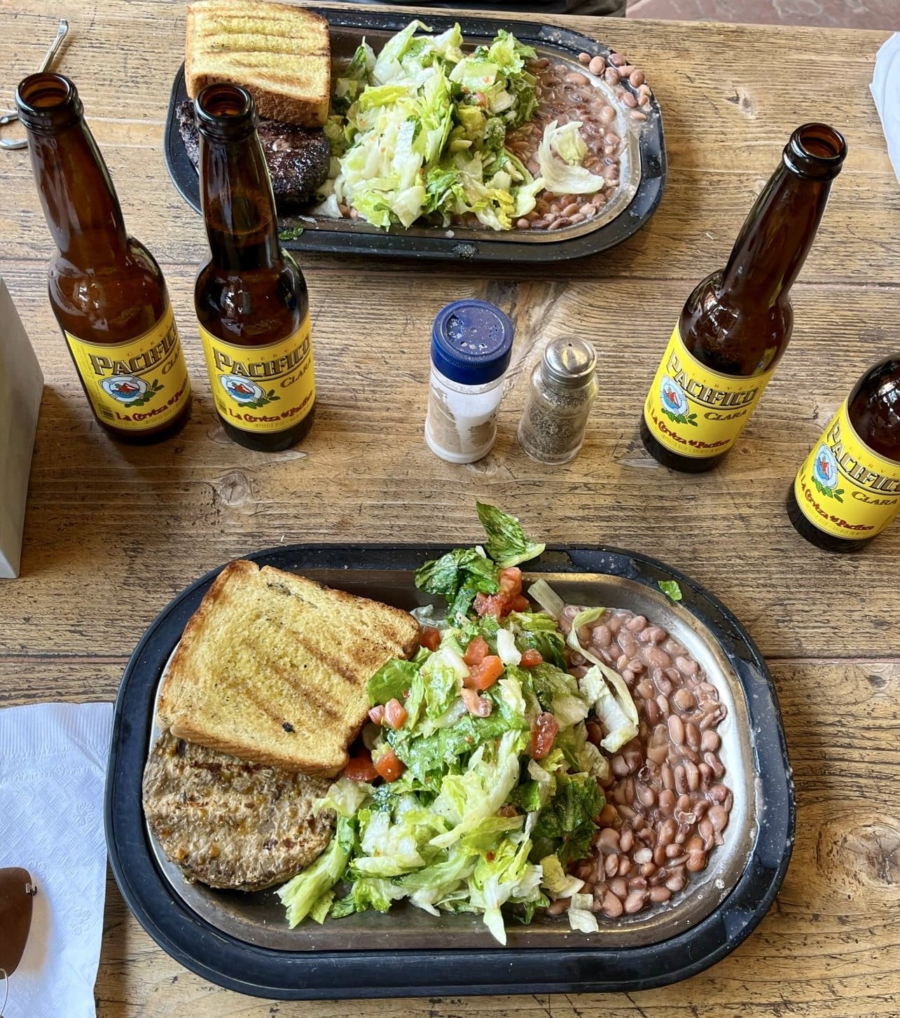
… for a tasty dinner at the local Swingin’ Steaks restaurant, where one beer simply wasn’t enough to celebrate our day.
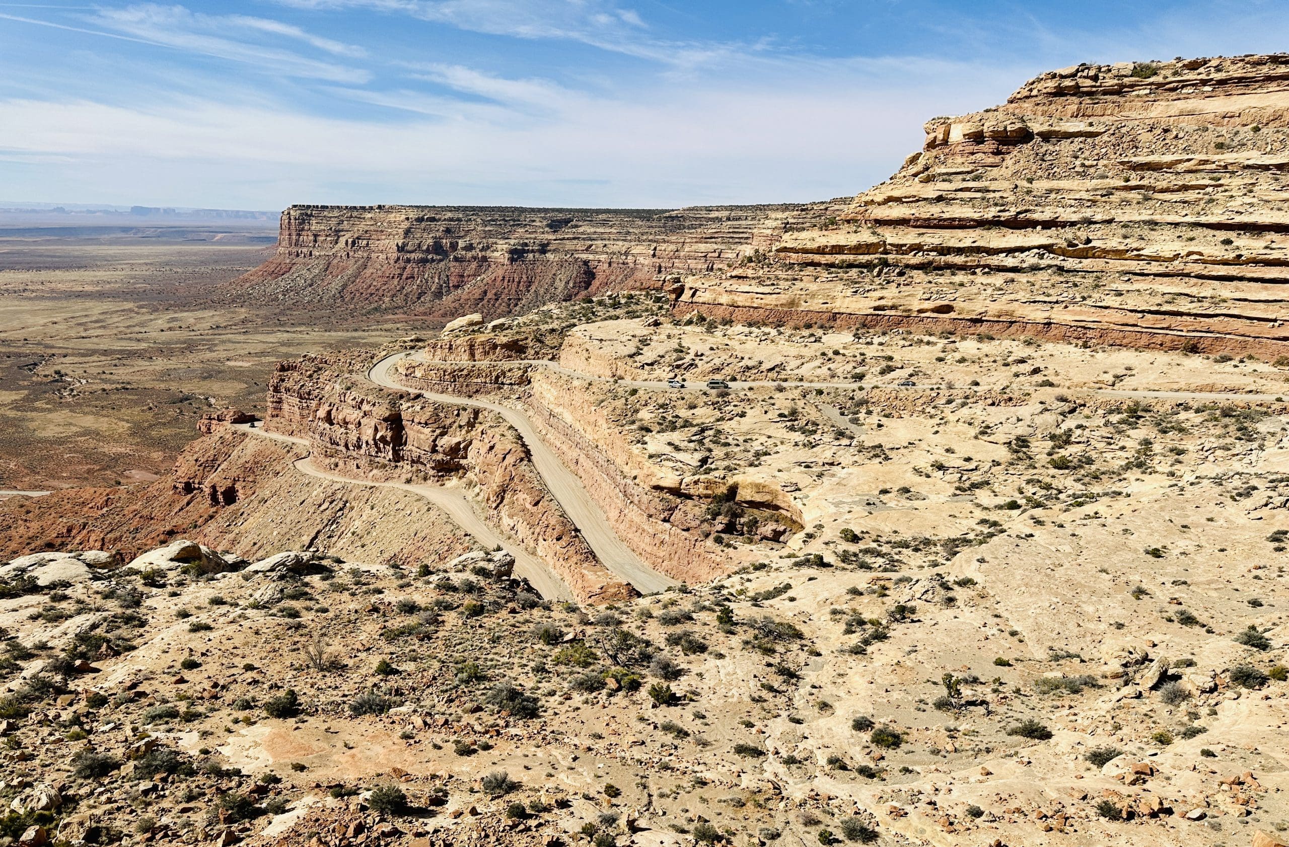
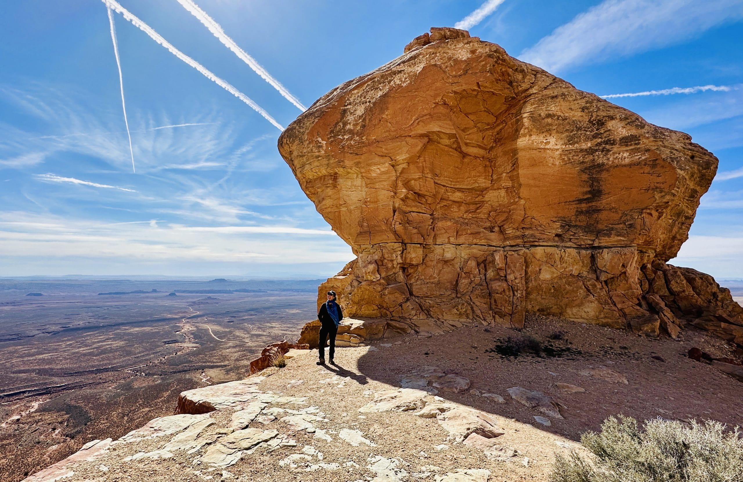
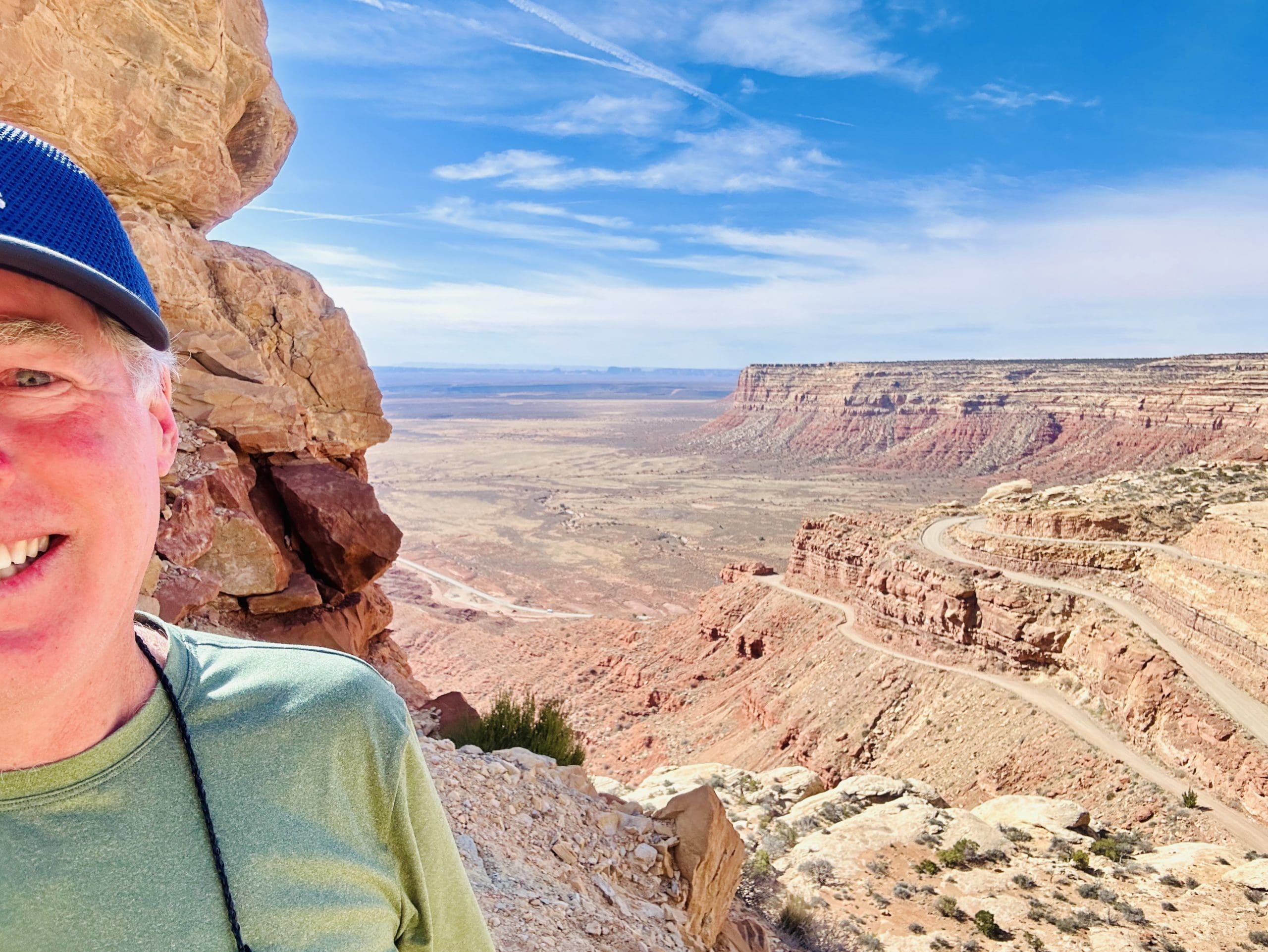
Moki Dugway (Utah State Route 261)
On our travel day north to Moab, we drove along State Route 261 up the narrow winding road named “Moki Dugway,” originally built in the 1950s as an access road for ore trucks hauling uranium and vanadium from Cedar Mesa to the processing mill near Mexican Hat. The clear morning light yielded fantastic views back over Valley of the Gods and Monument Valley.

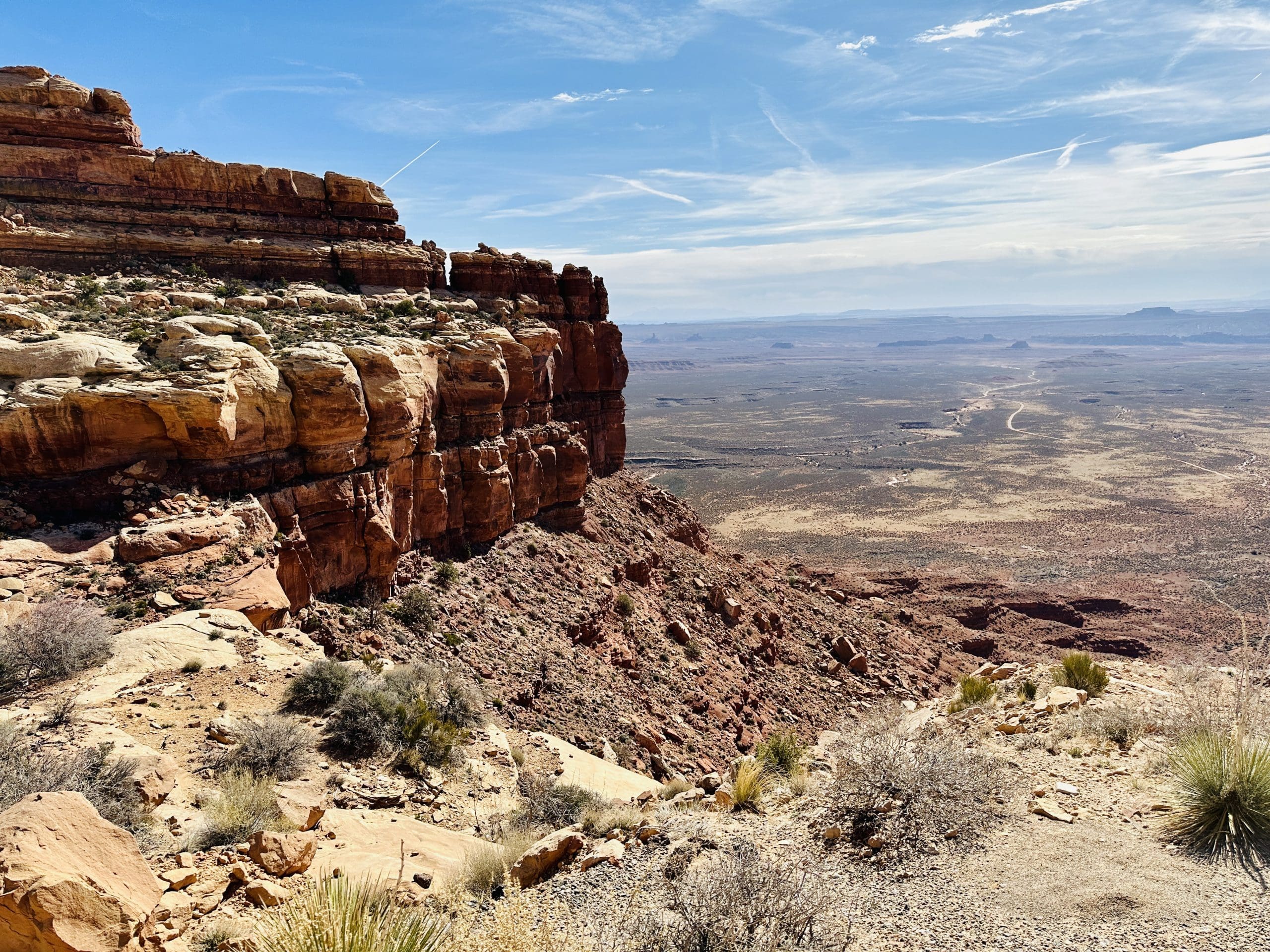
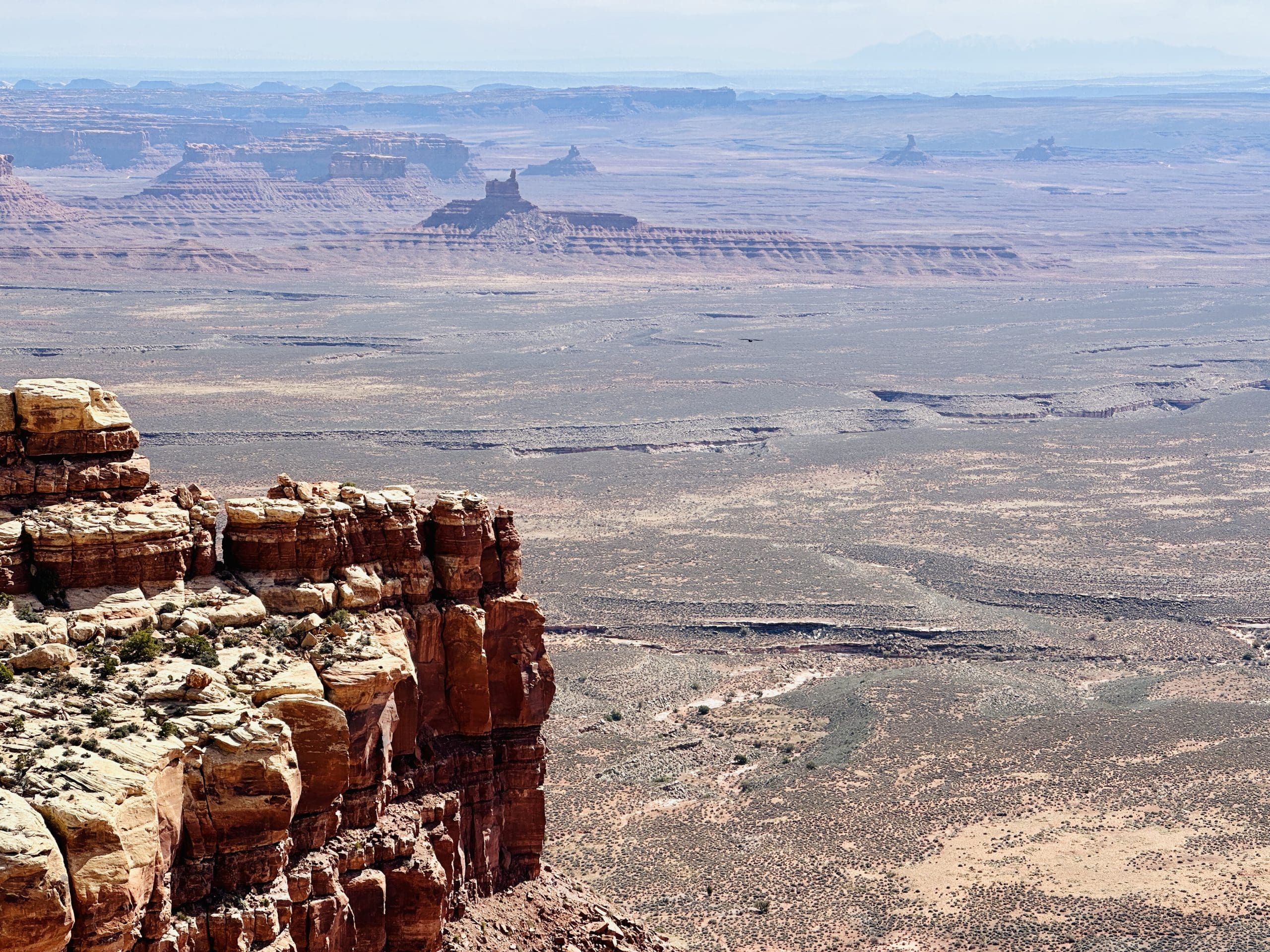

Natural Bridges National Monument
Our purpose for taking this long and circuitous route to Moab was to visit Natural Bridges National Monument. We didn’t have enough time to visit the formations on foot, but the scenic drive through the park gave us good views from a distance and an idea of what we’ll see on our next visit there.


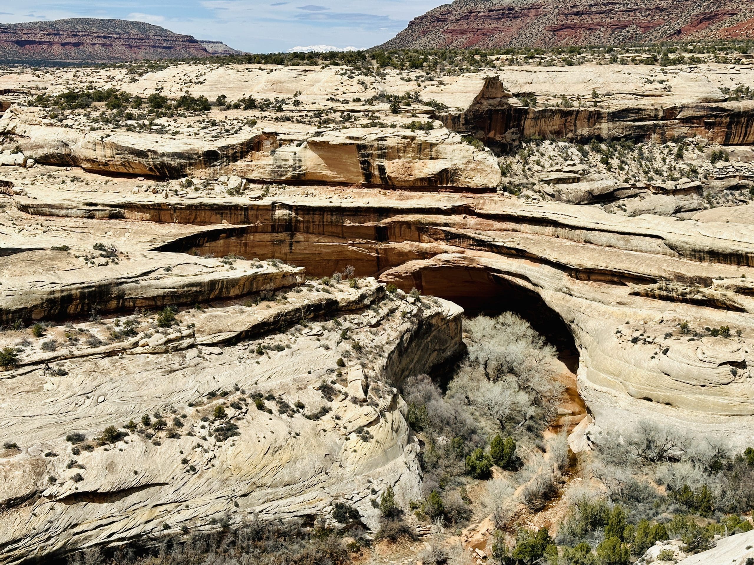
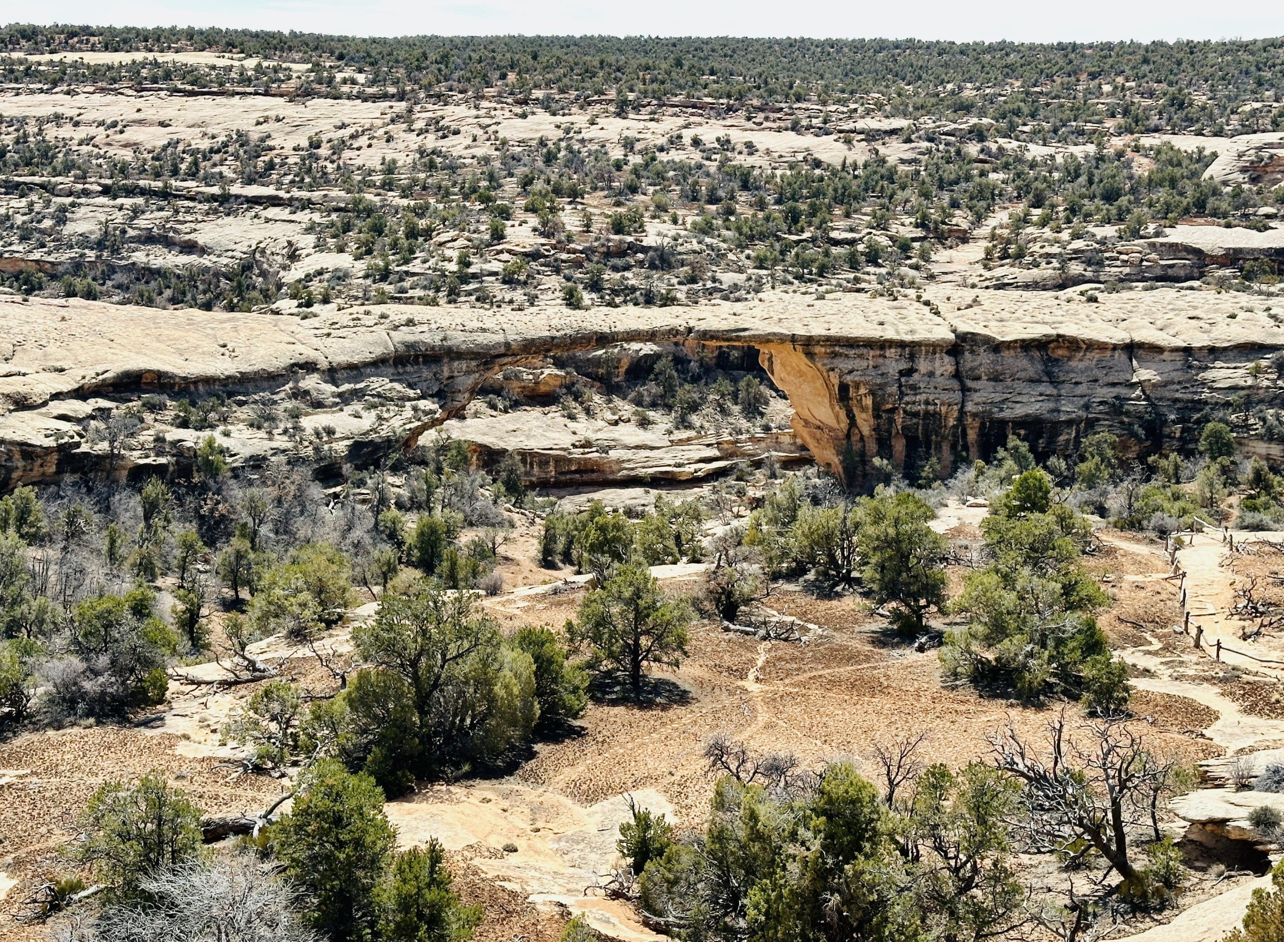
In addition to the wonderful geologic formations at the park, there are fascinating remains of human occupation in the cliff dwellings, such as Horsecollar Ruin, an ancestral Pueblo village inhabited between A.D. 1050 and 1300.
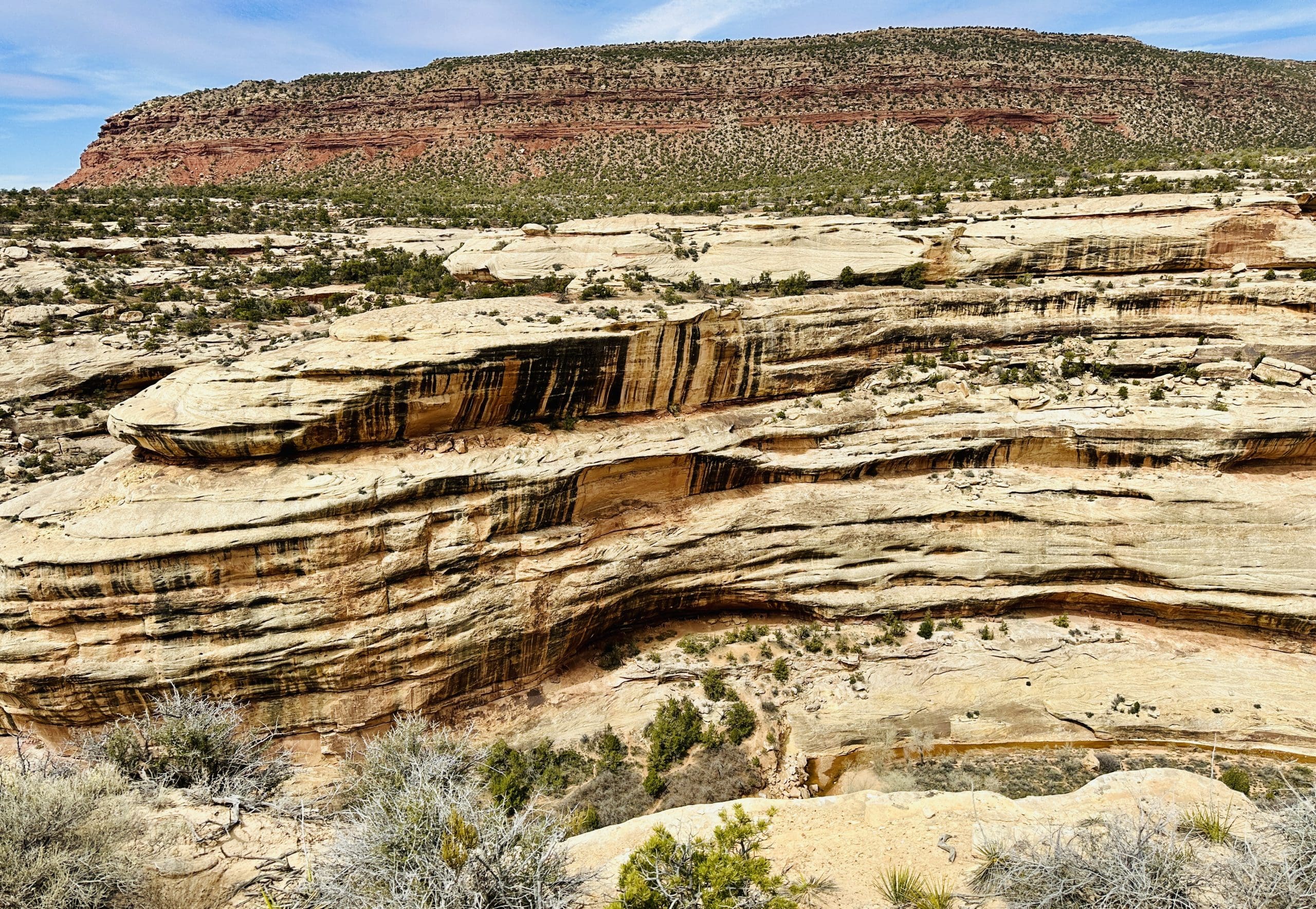
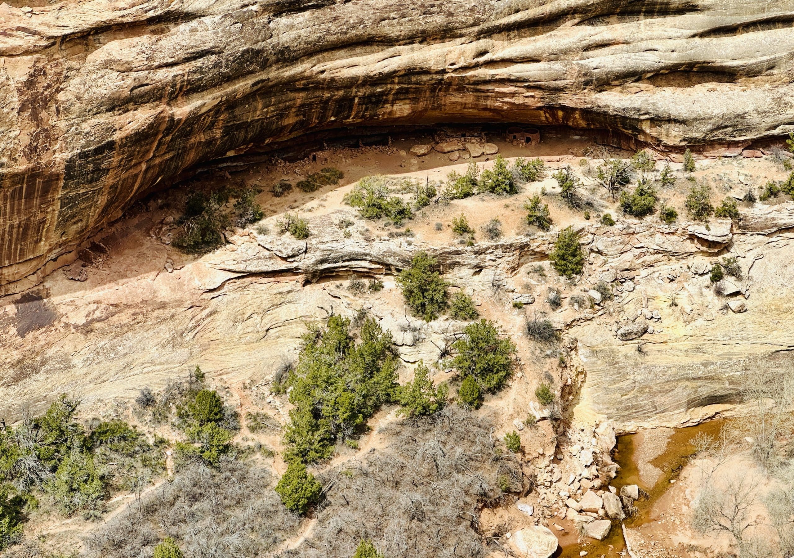
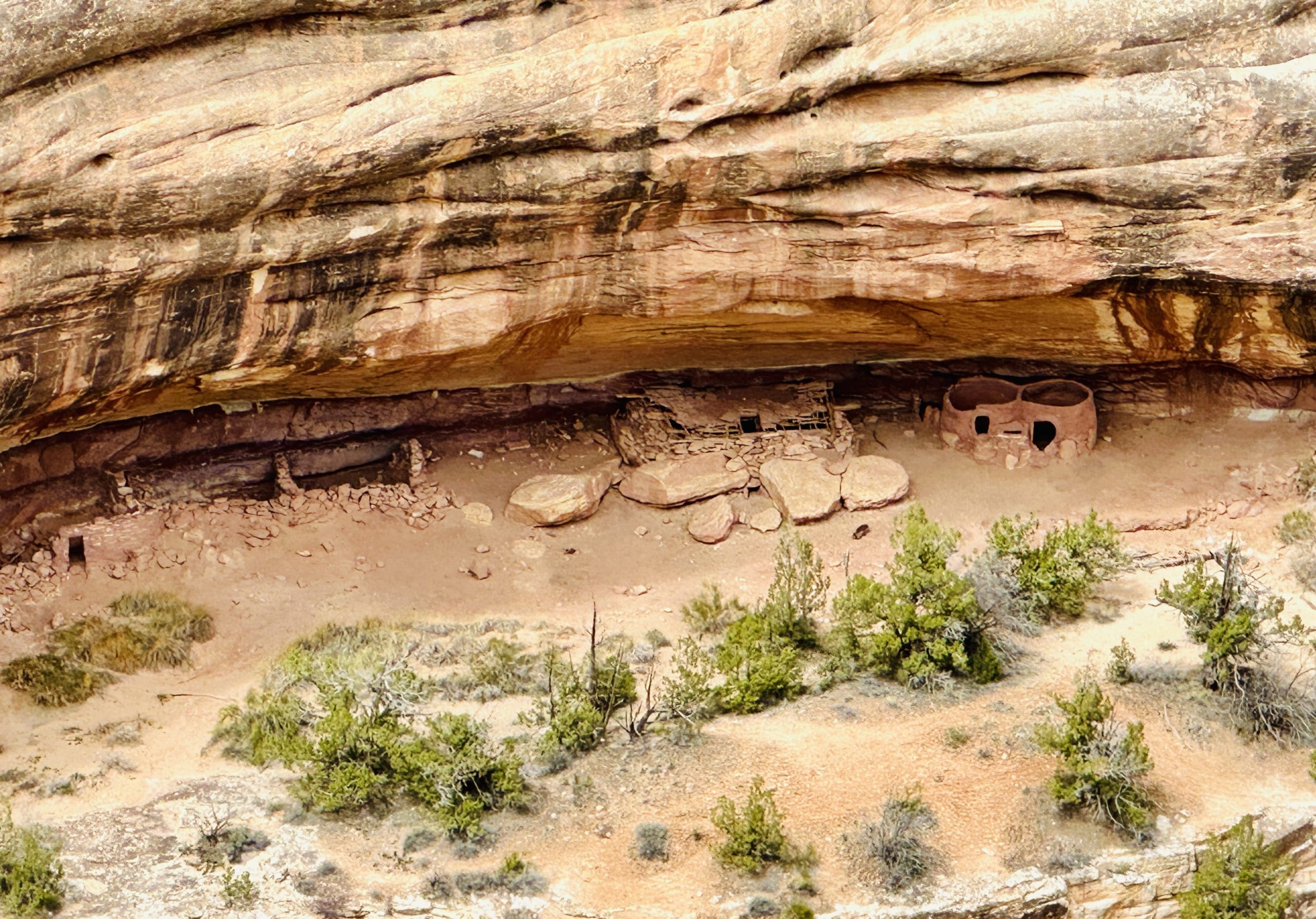

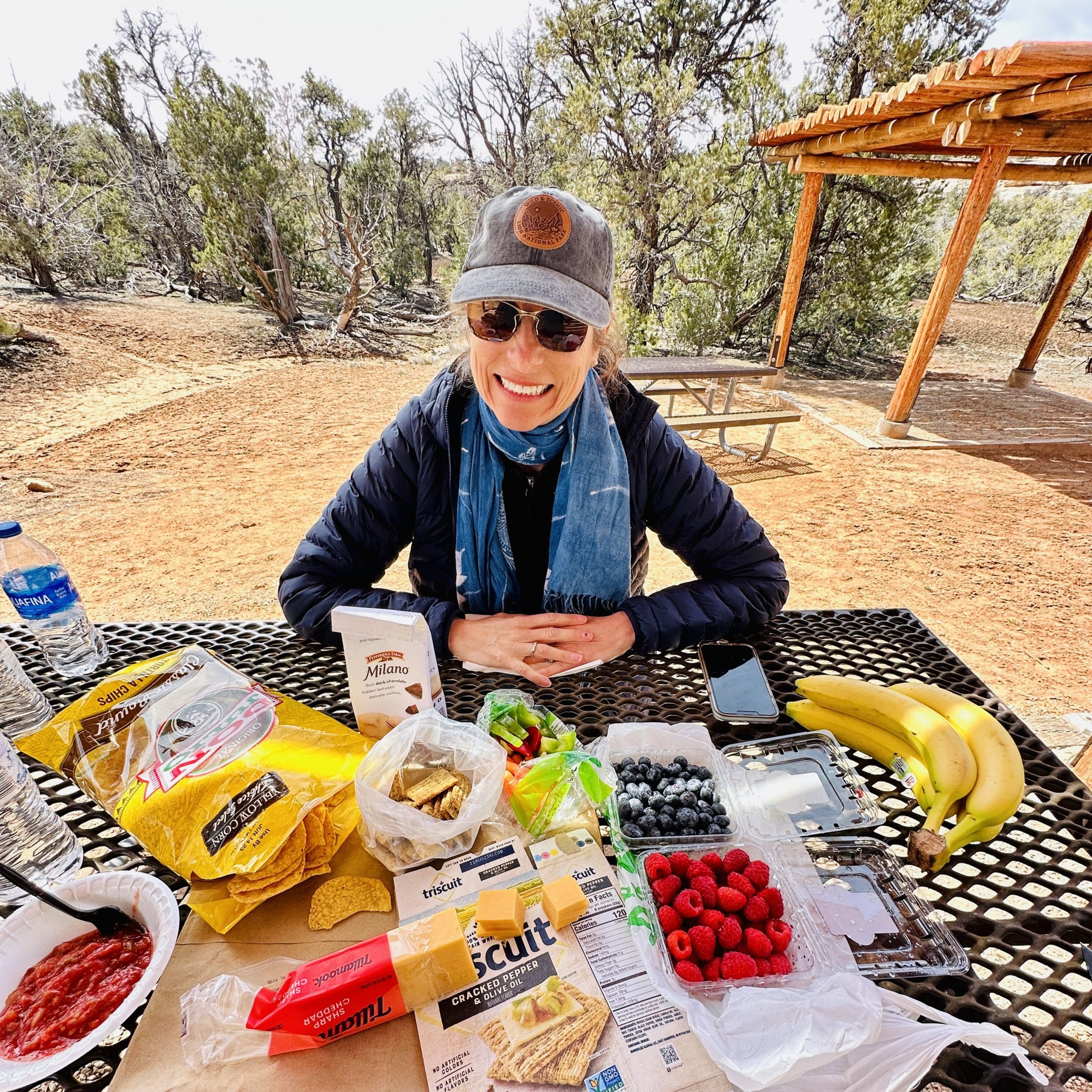
Even on our travel days, we enjoy good eating such as this delicious picnic spread!

I would NOT want to get lost in these parts!
Loved the Goosenecks- you can just imagine the millions of years it took for the water to carve its way down through the layers of rock-
And, as usual, LOVED your photos, Chris!
You’re right about that!