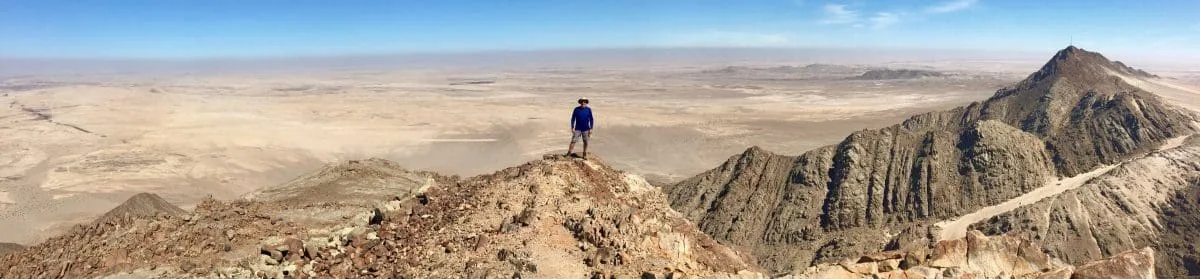

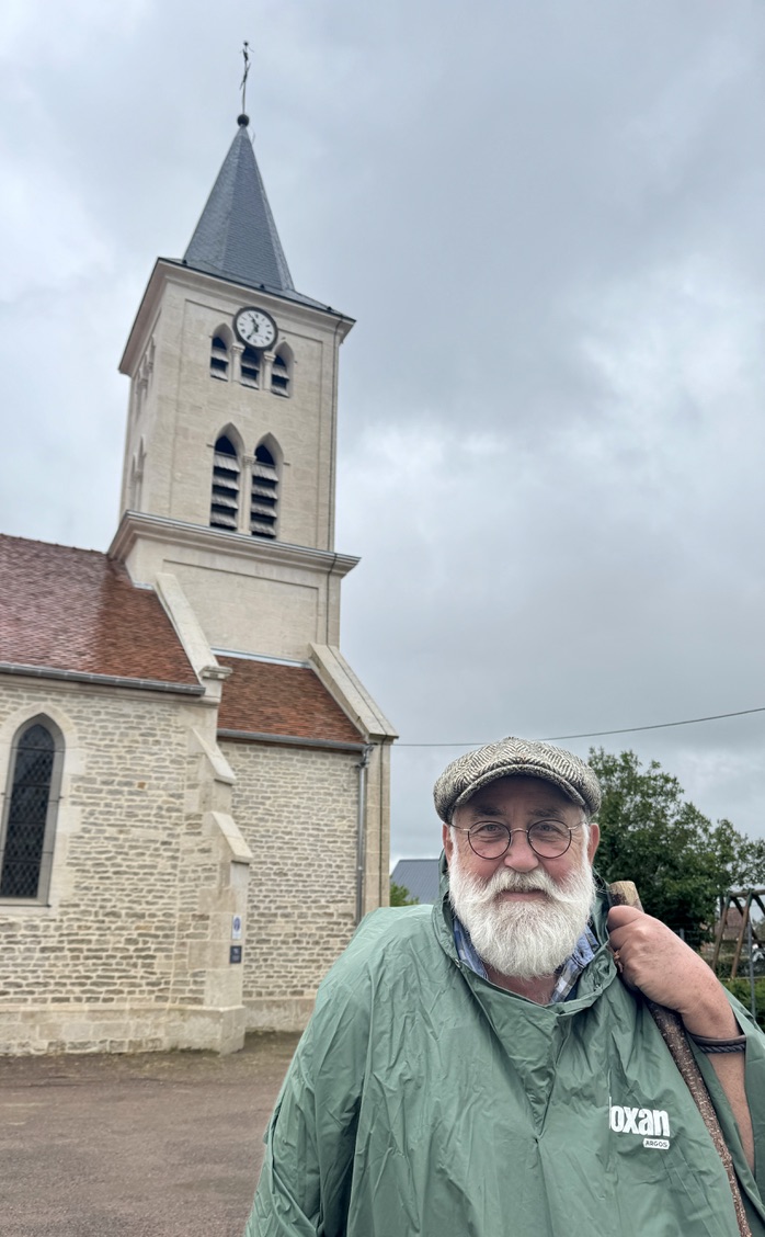
My recent social interactions have been a welcome break from the isolation I’ve felt over the past few weeks. I hope it continues. And I also hope to finally see some elevation changes ahead…
Day 32 Semoutiers-Montsaon to Villiers-sur-Suize
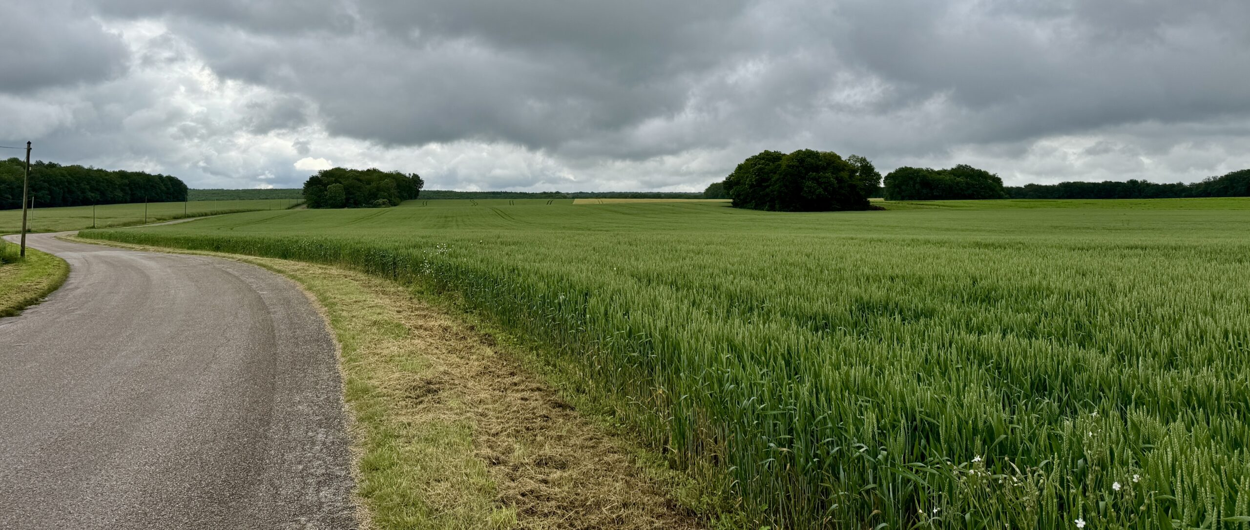
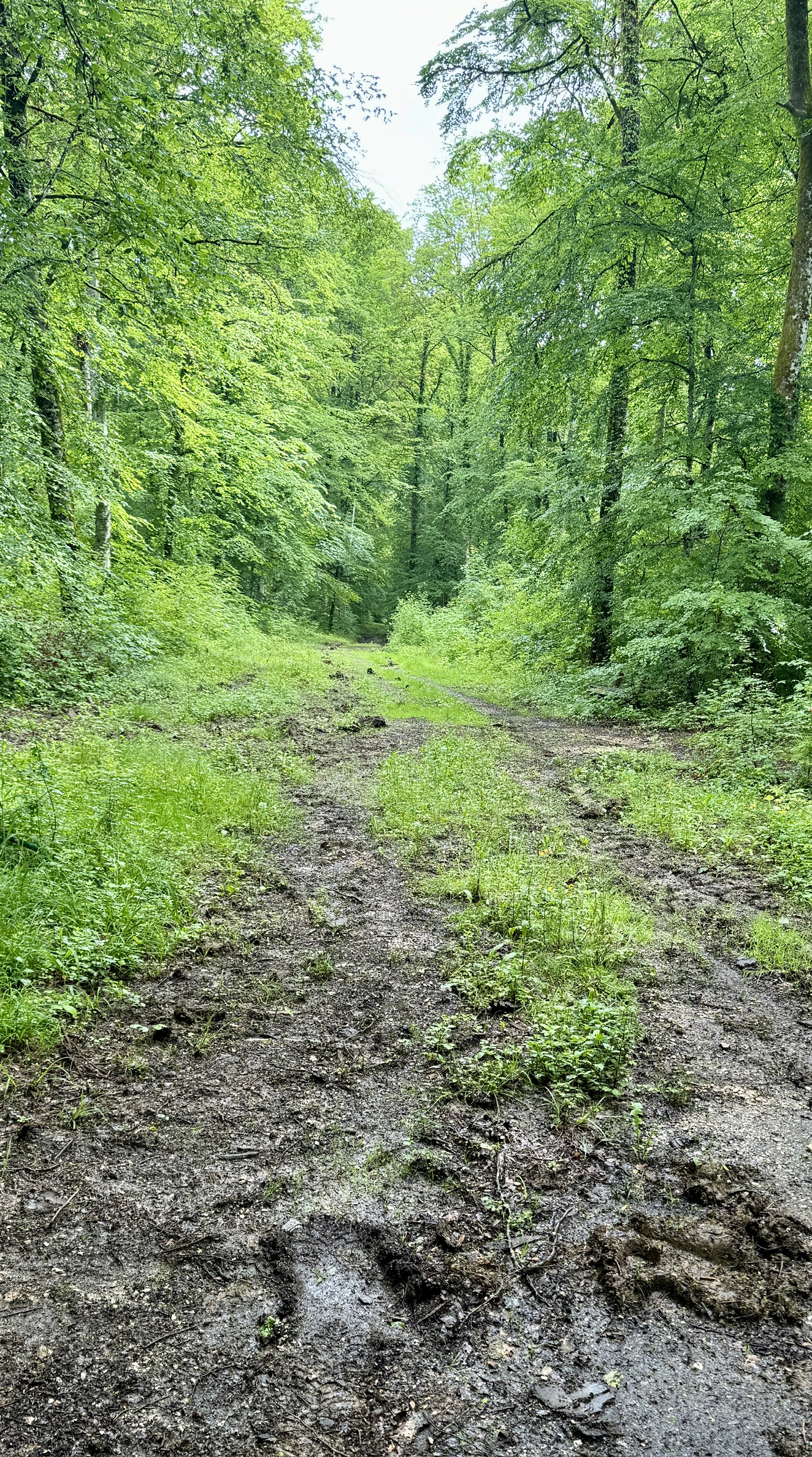
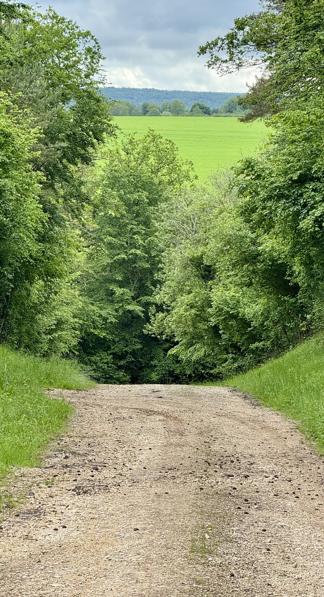
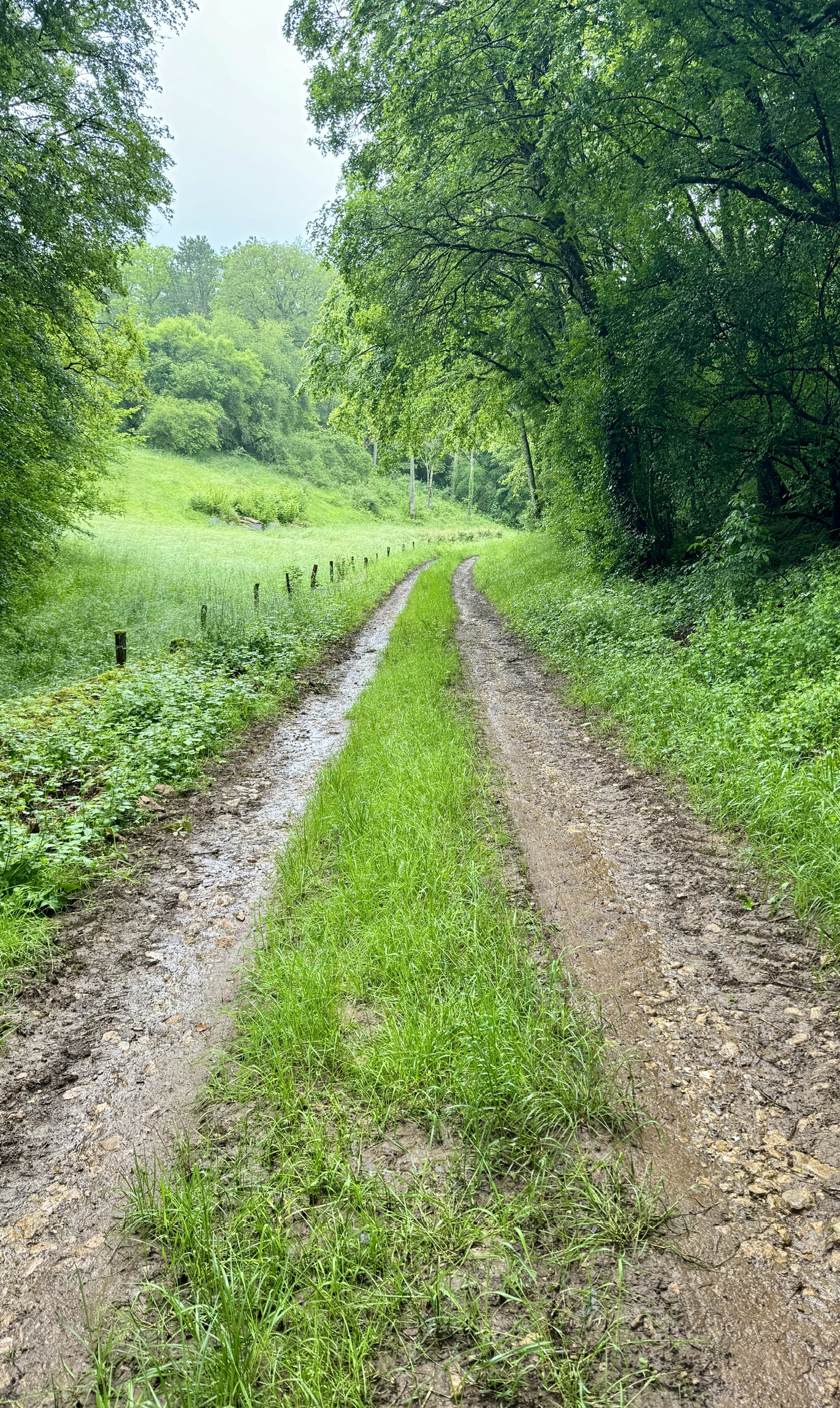
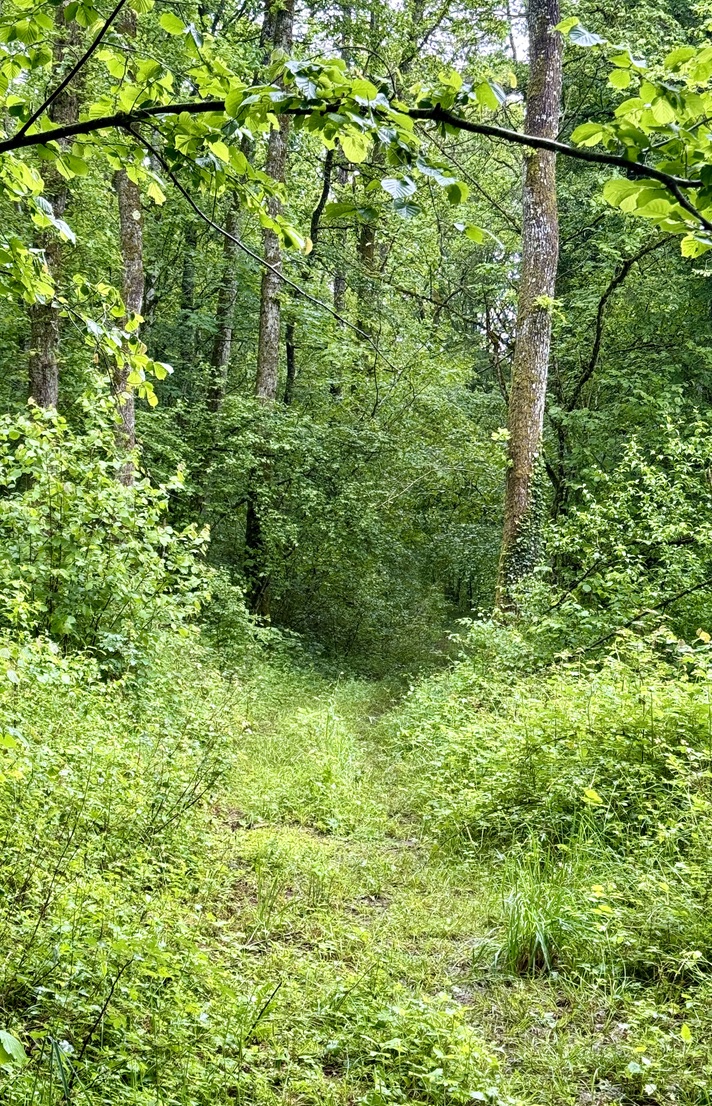
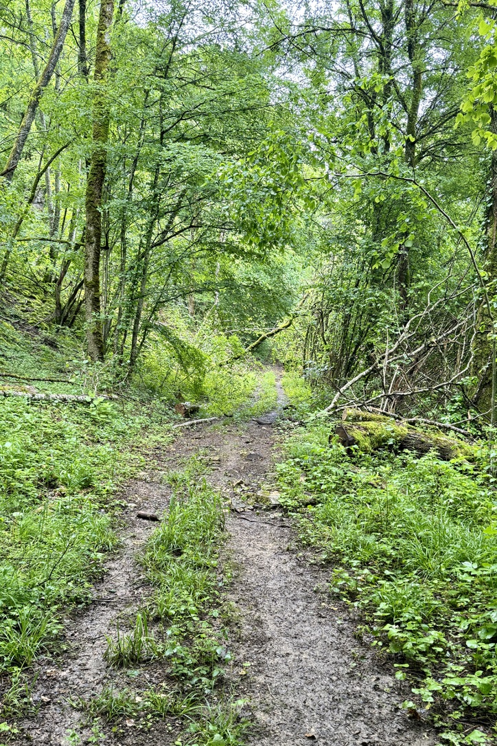
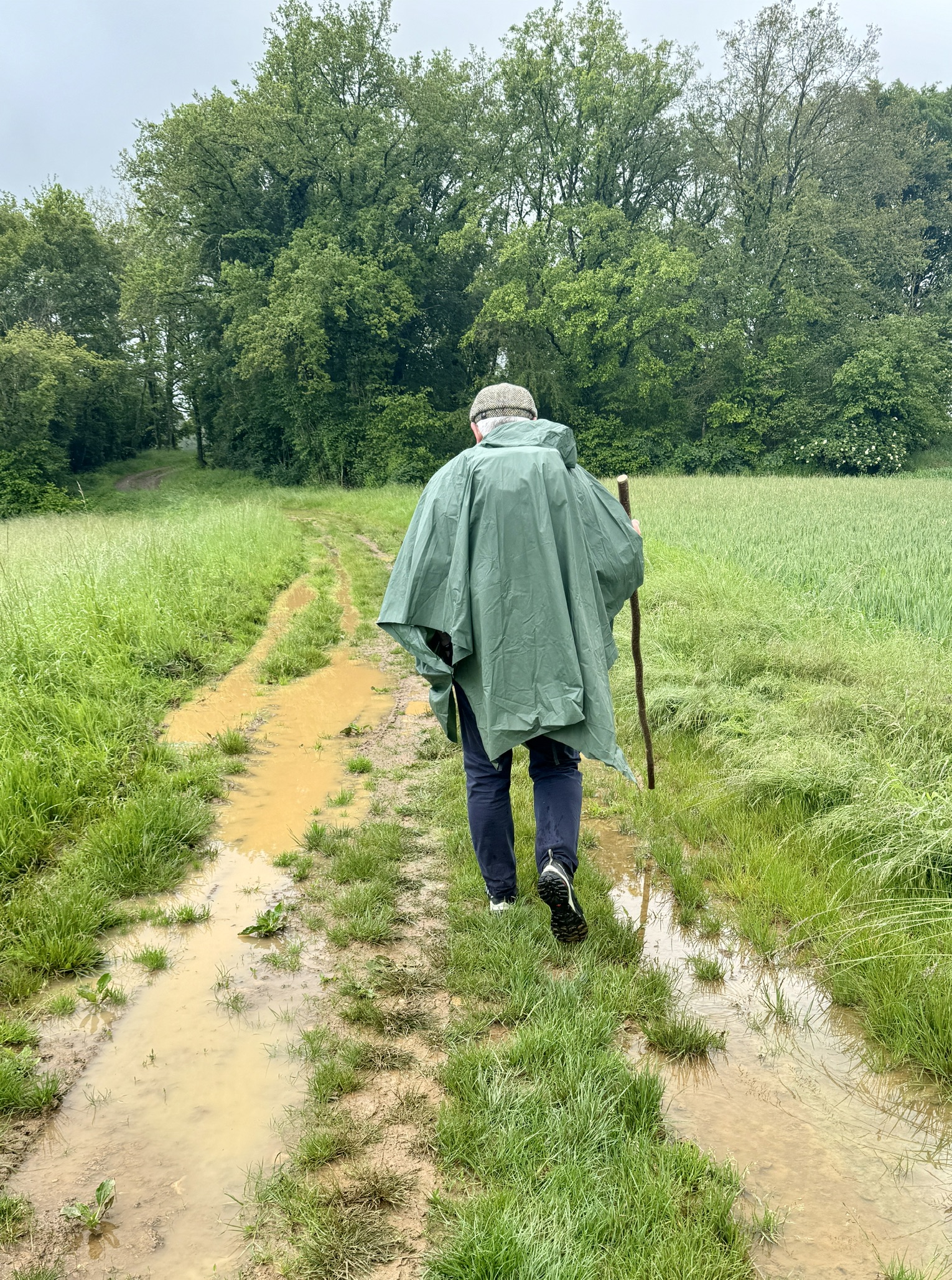
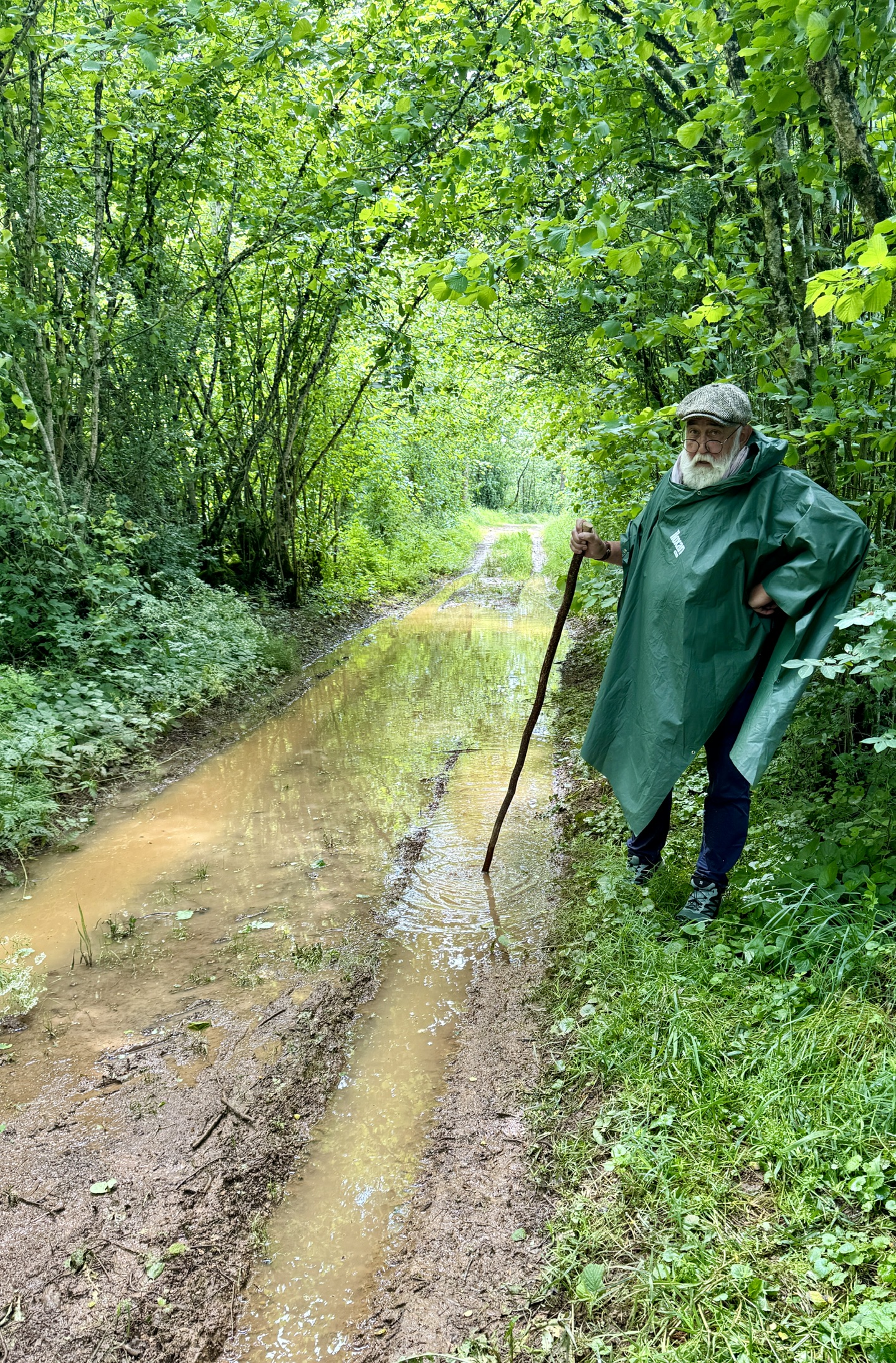
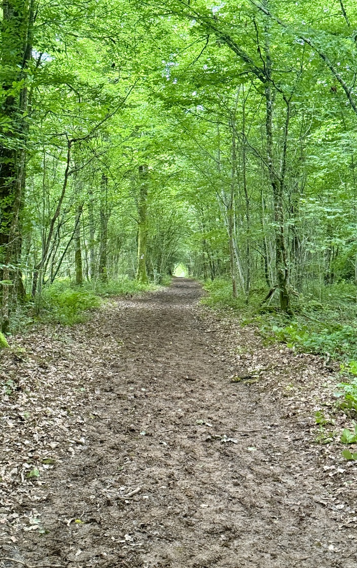
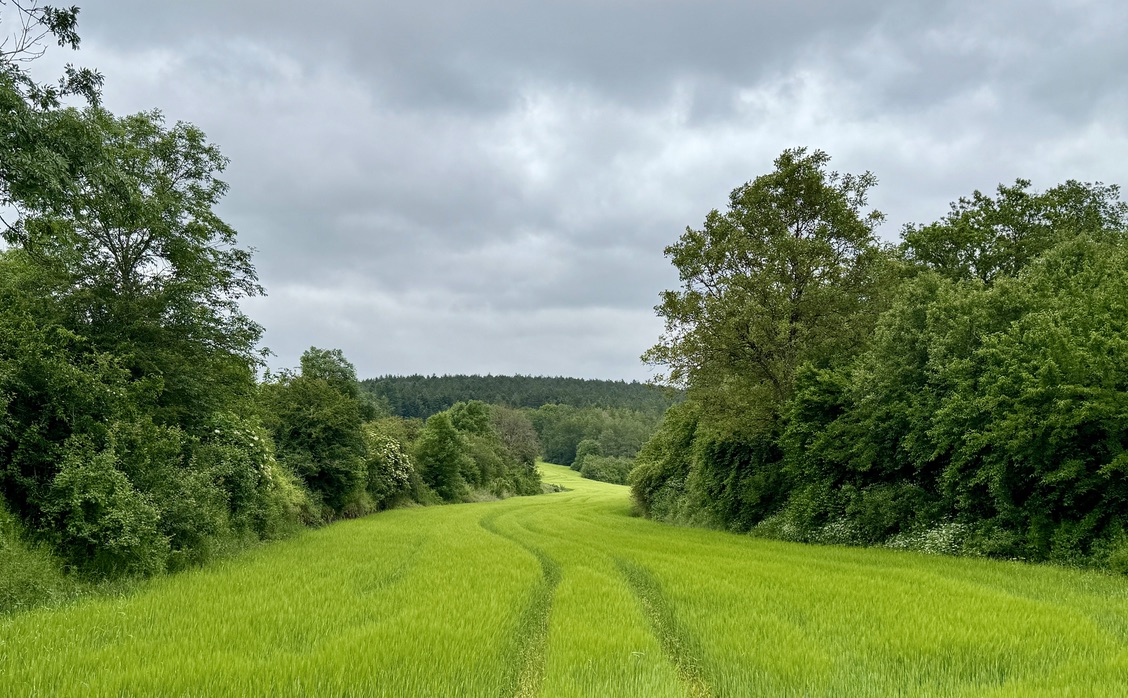
It rained quite a bit here last night. So on today’s walk, I wasn’t surprised to find the trails through this national forest very wet and muddy. In anticipation of that, I had made a backup plan and walked around the woods rather than through them. It not only kept me drier, but was nearly 10 km and 2 hours shorter than the original route. Talk about cutting corners!
My mind was preoccupied with the many subjects my longtime California friend, Bill, and I discussed at dinner last night. I am reminded of this passage…
I think it’s much more interesting to live not knowing than to have answers which might be wrong. I have approximate answers and possible beliefs and different degrees of uncertainty about different things, but I am not absolutely sure of anything and there are many things I don’t know anything about, such as whether it means anything to ask why we’re here. I don’t have to know an answer. I don’t feel frightened not knowing things, by being lost in a mysterious universe without any purpose, which is the way it really is as far as I can tell.
– Richard Feynman

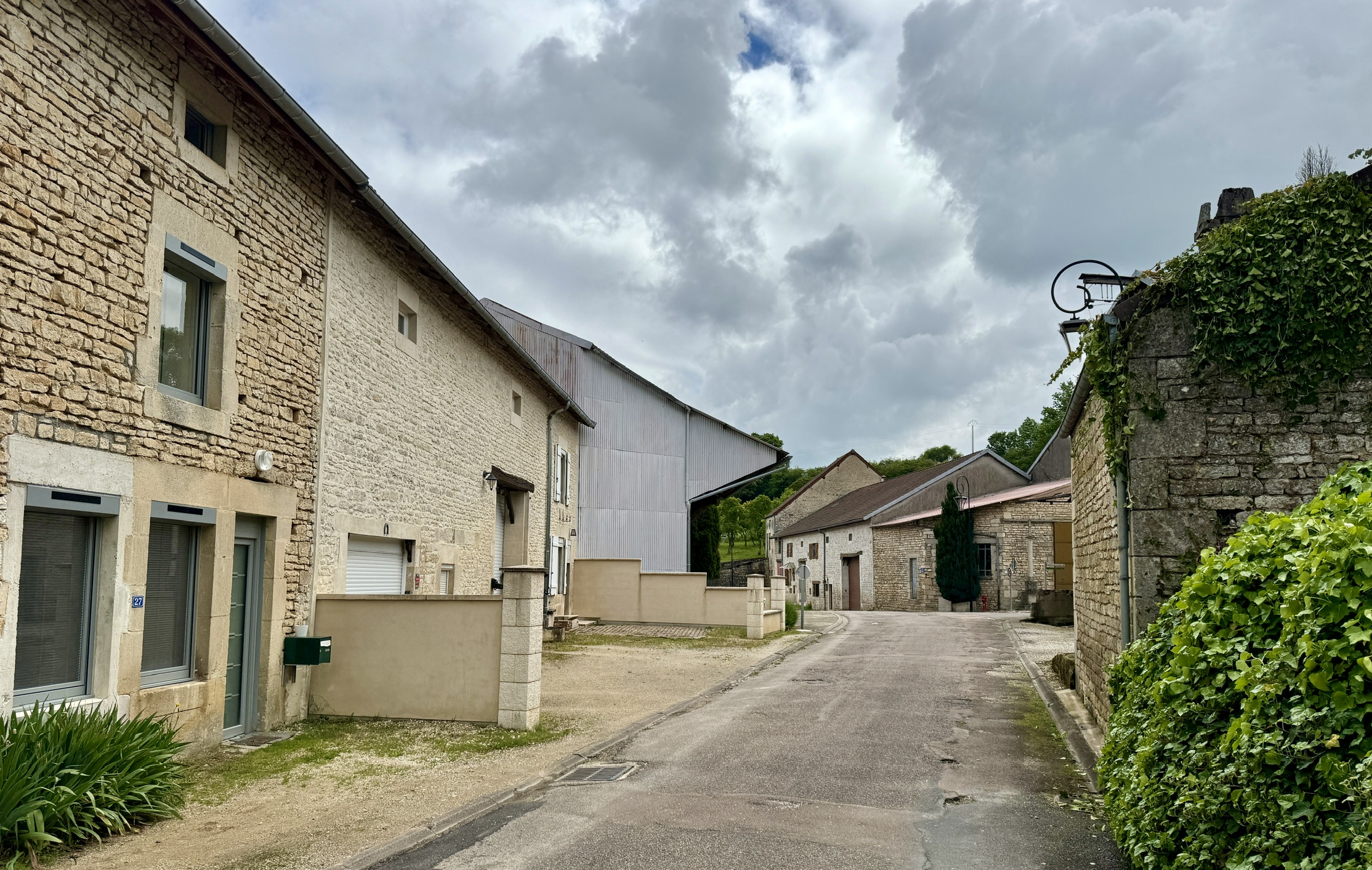
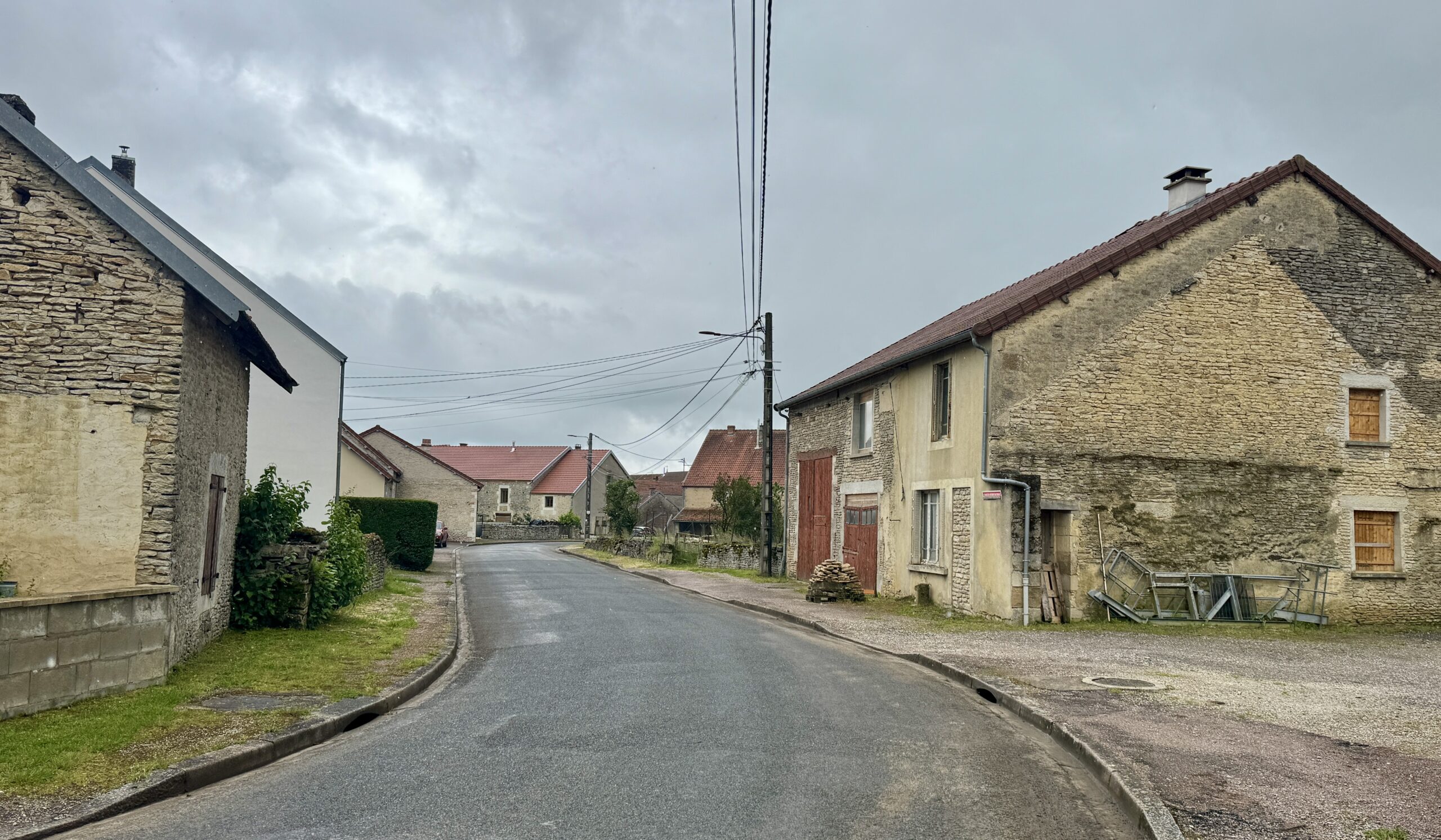
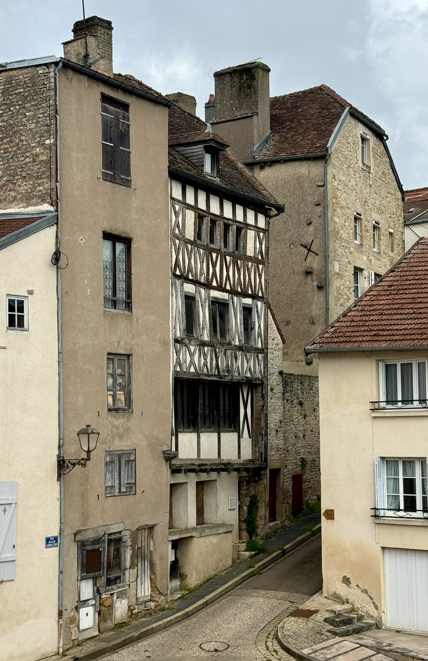
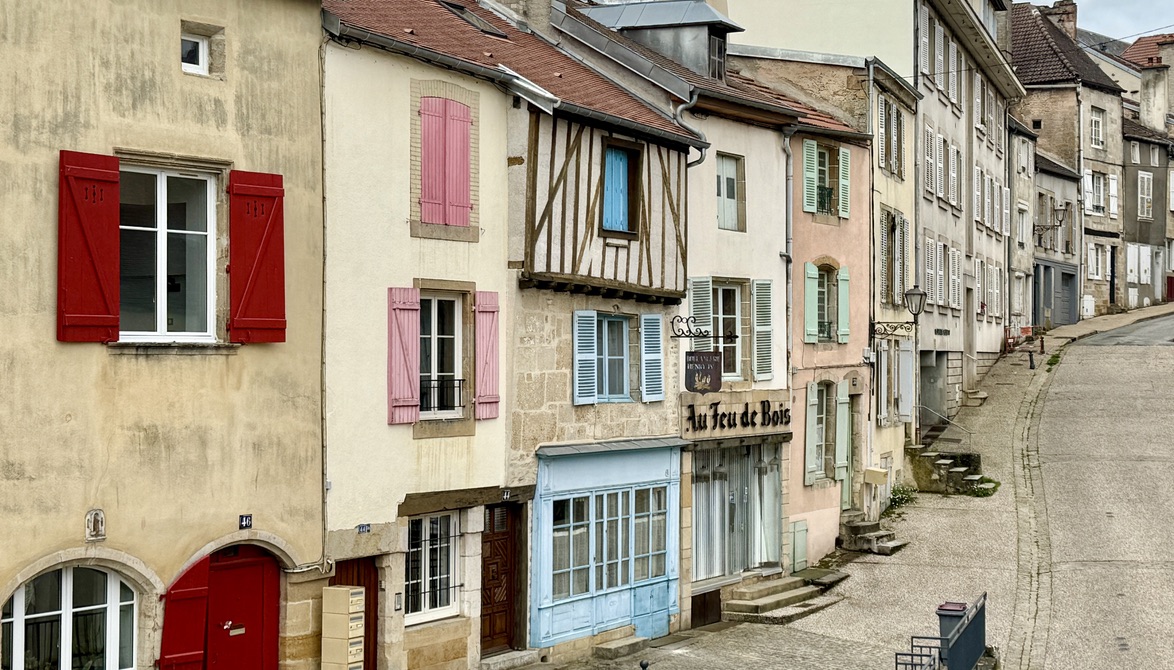
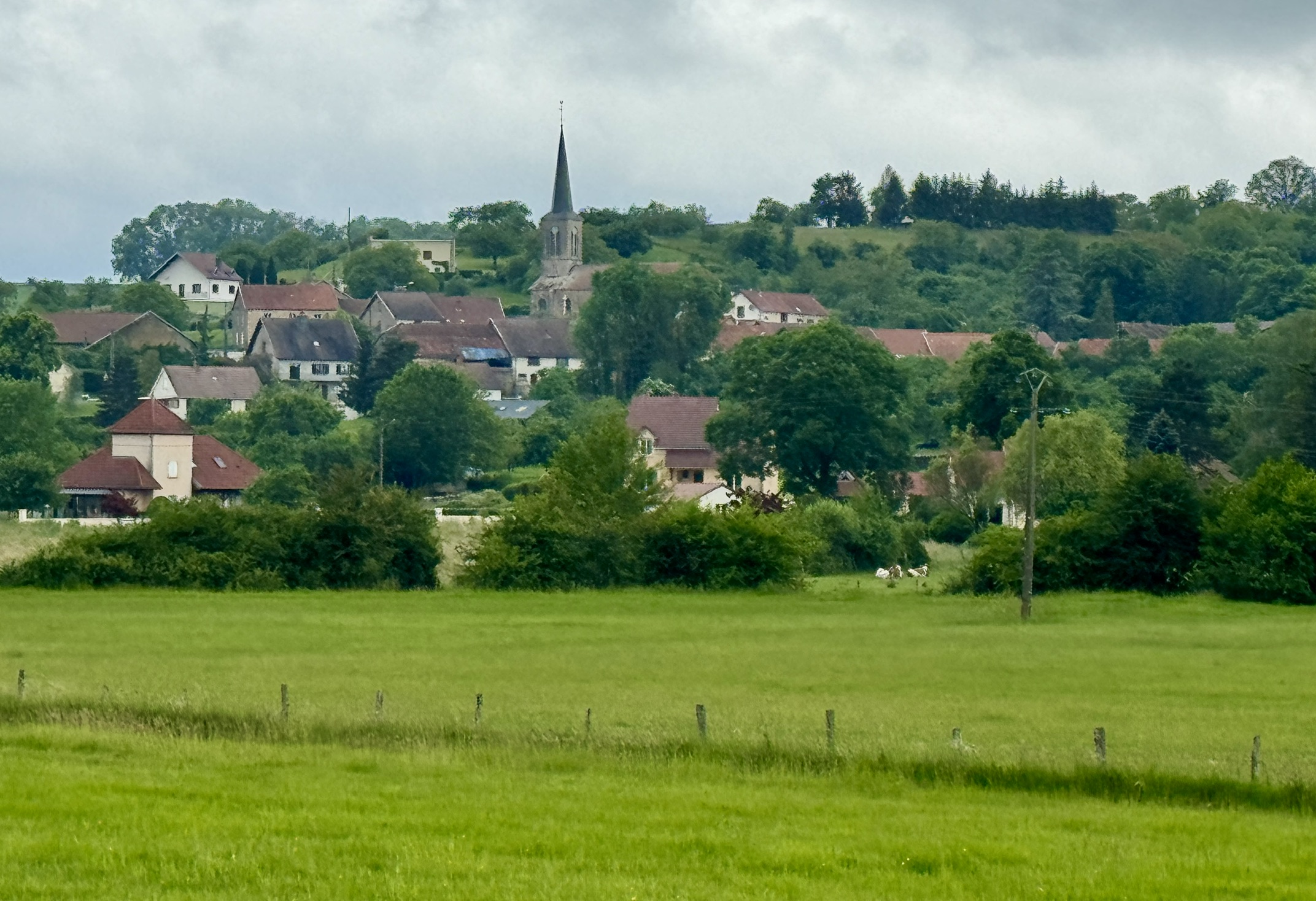
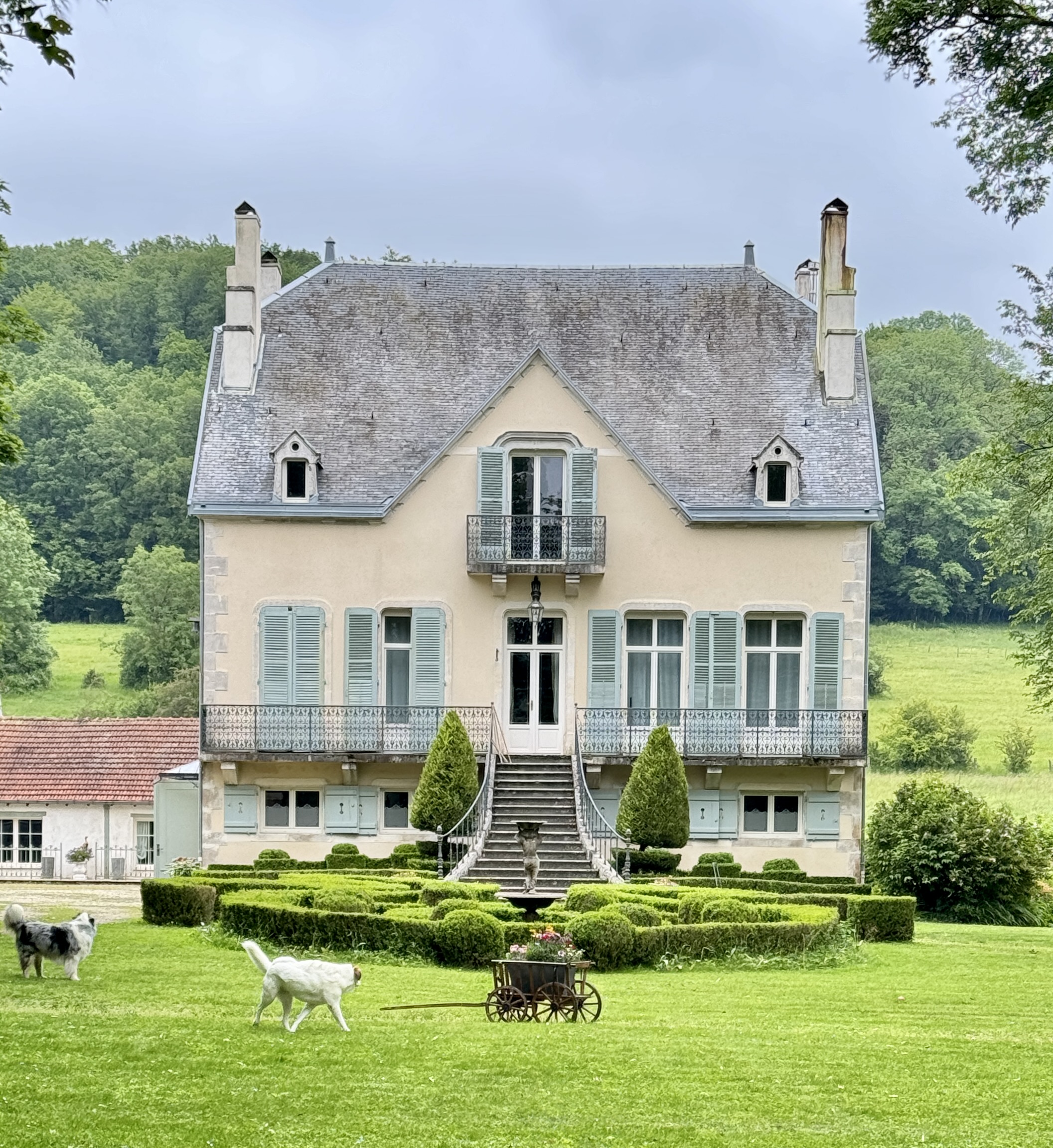
Another empty village.
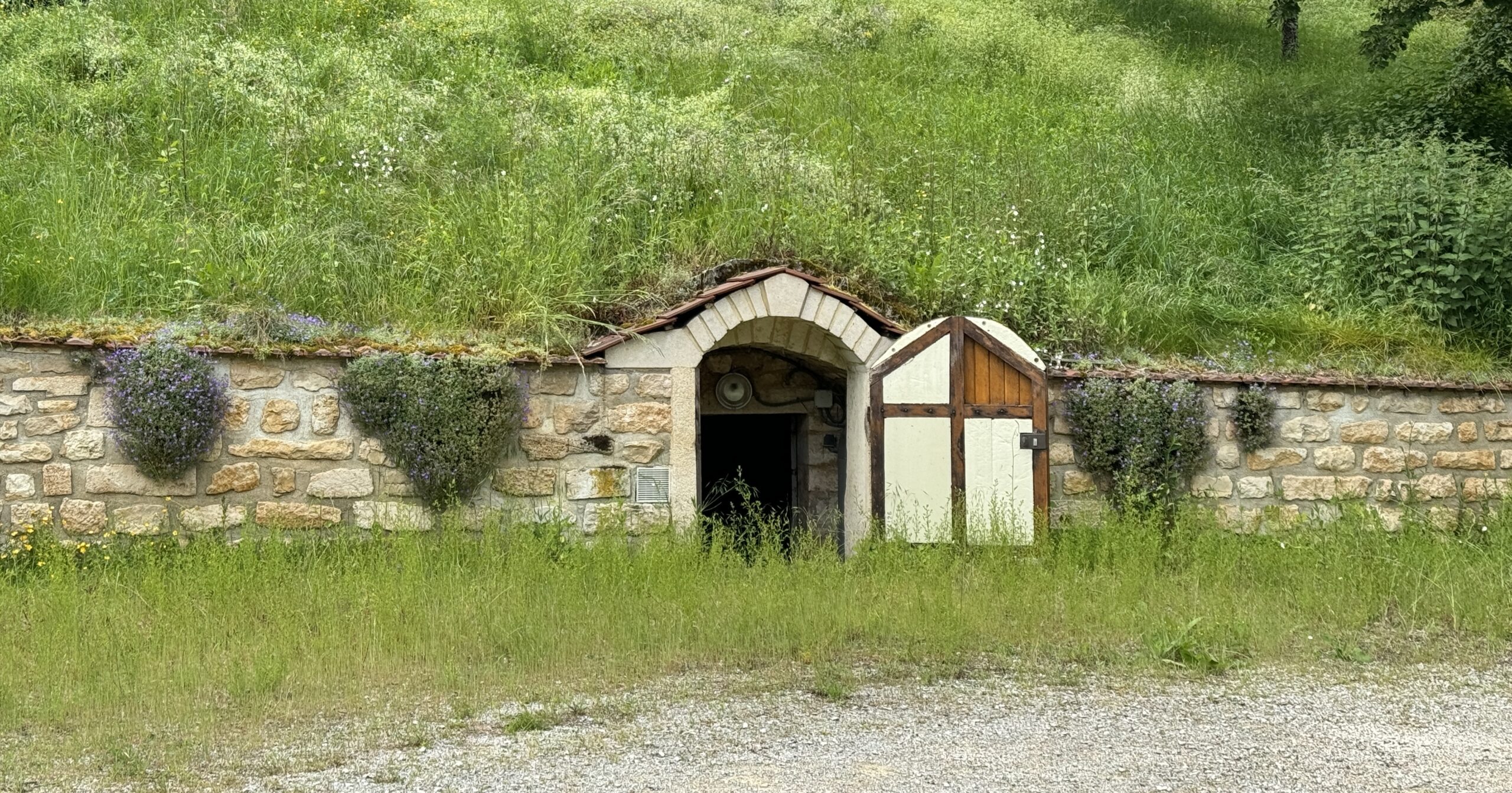
Someone’s home, complete with a mailbox. A Hobbit?
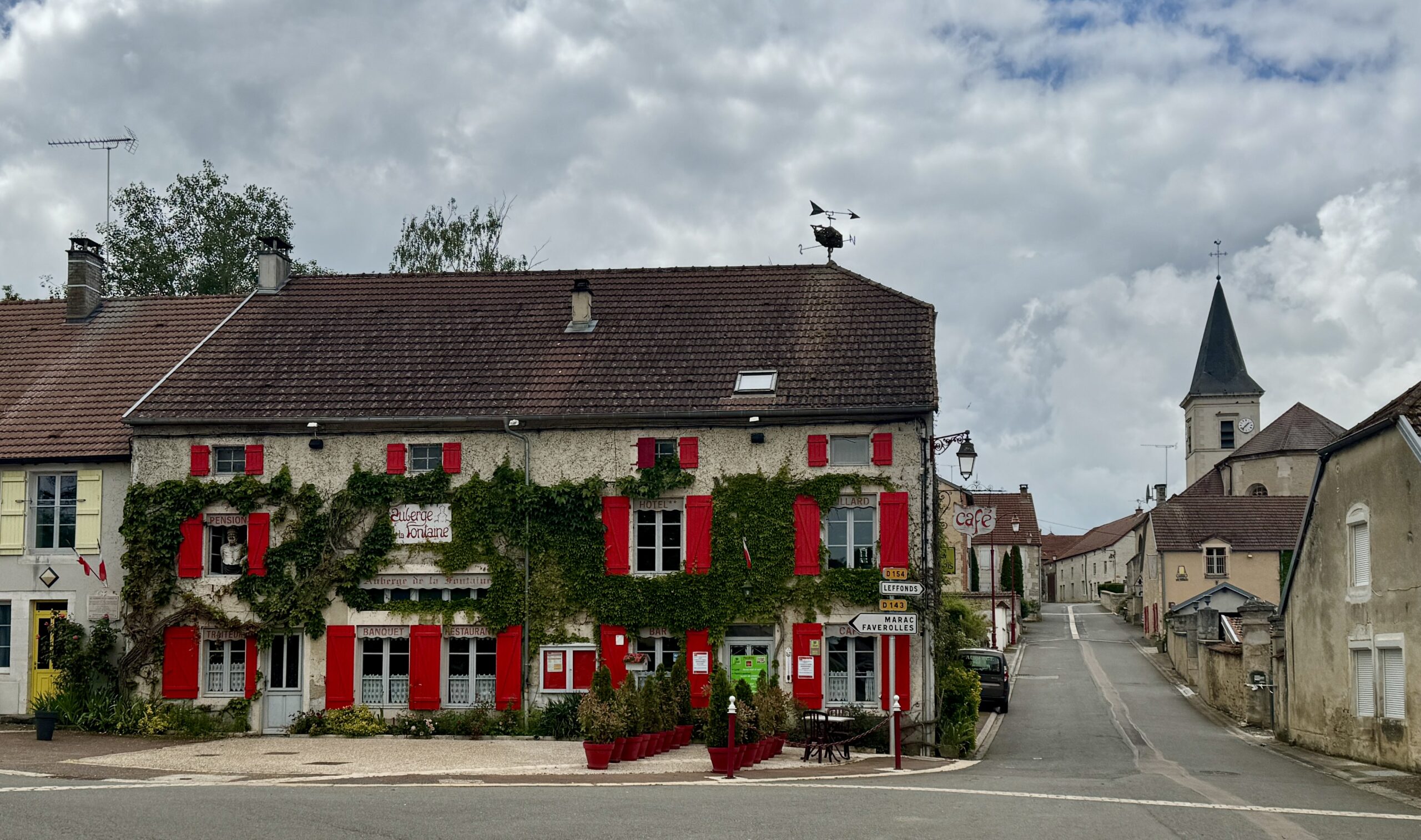
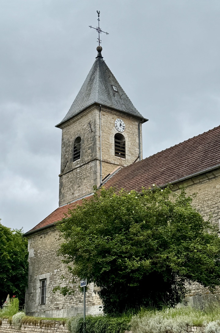
My destination tonight.

My hotel was decorated like no other place I’ve stayed. The owners clearly have a good sense of humor.
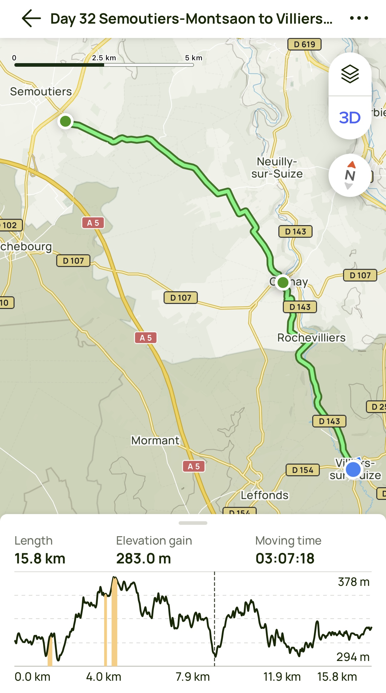
Day 32 AllTrails Stats
Distance: 15.8 km / 9.8 miles
Elevation Gain: 283 m / 928 feet
Steps: 22,489
Relive: https://www.relive.cc/view/v7O9GkoMoQq
Accommodation: Auberge de la Fontaine, Villiers-sur-Suize
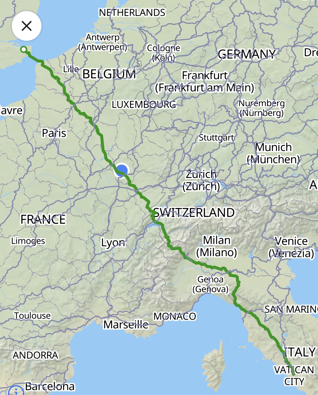
I just passed the 700 km mark since Canterbury!
Day 33 Villiers-sur-Suize to Langres
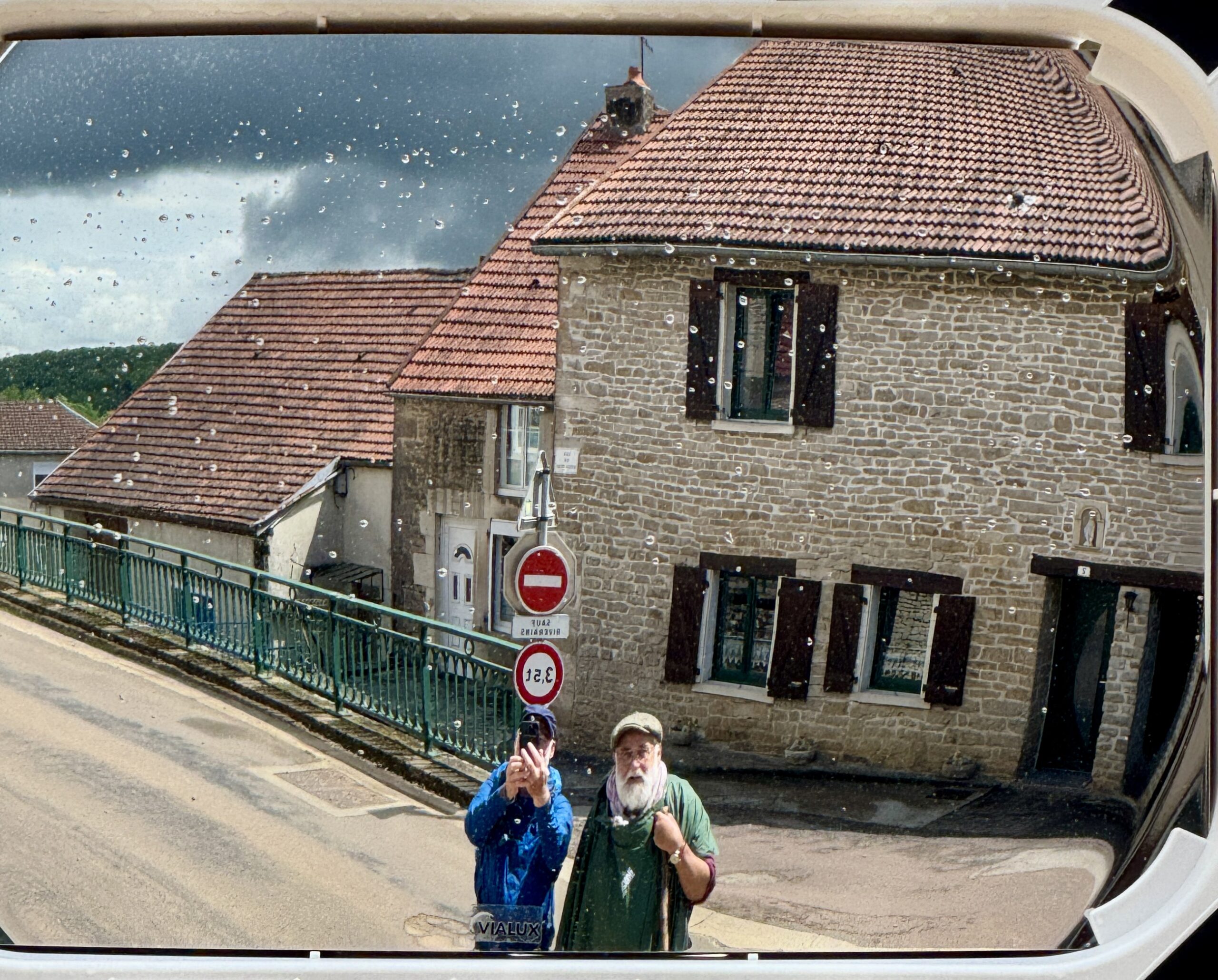
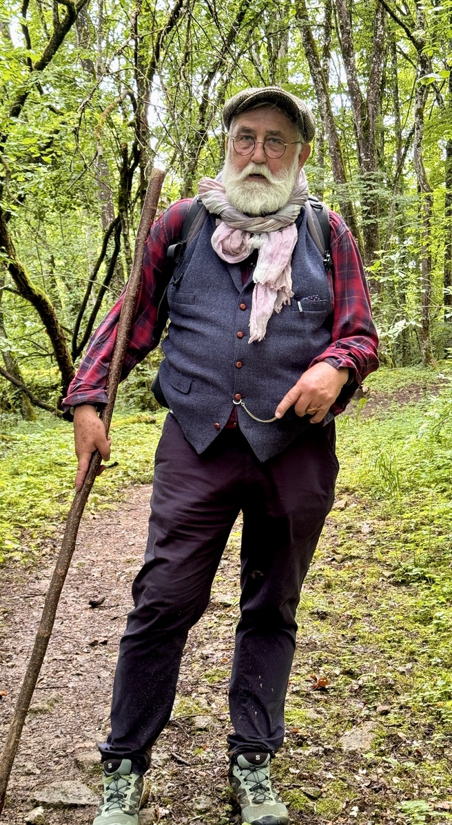
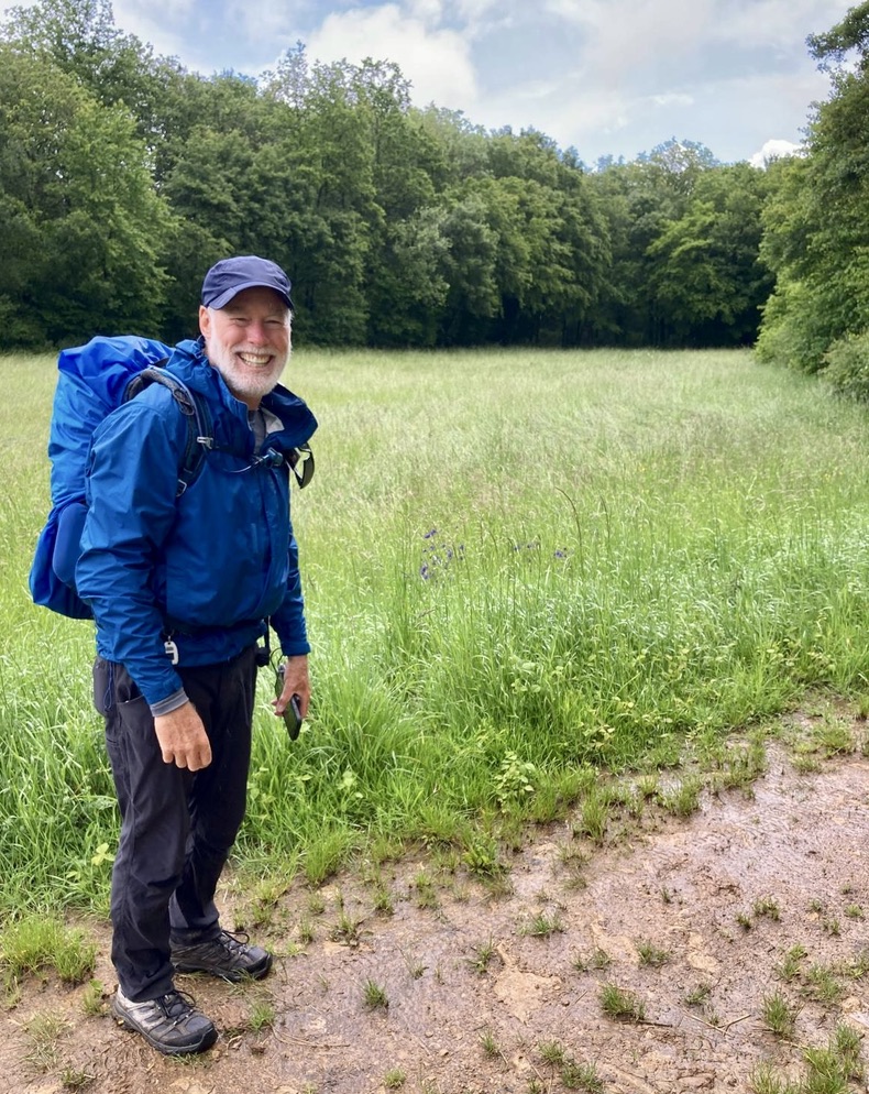
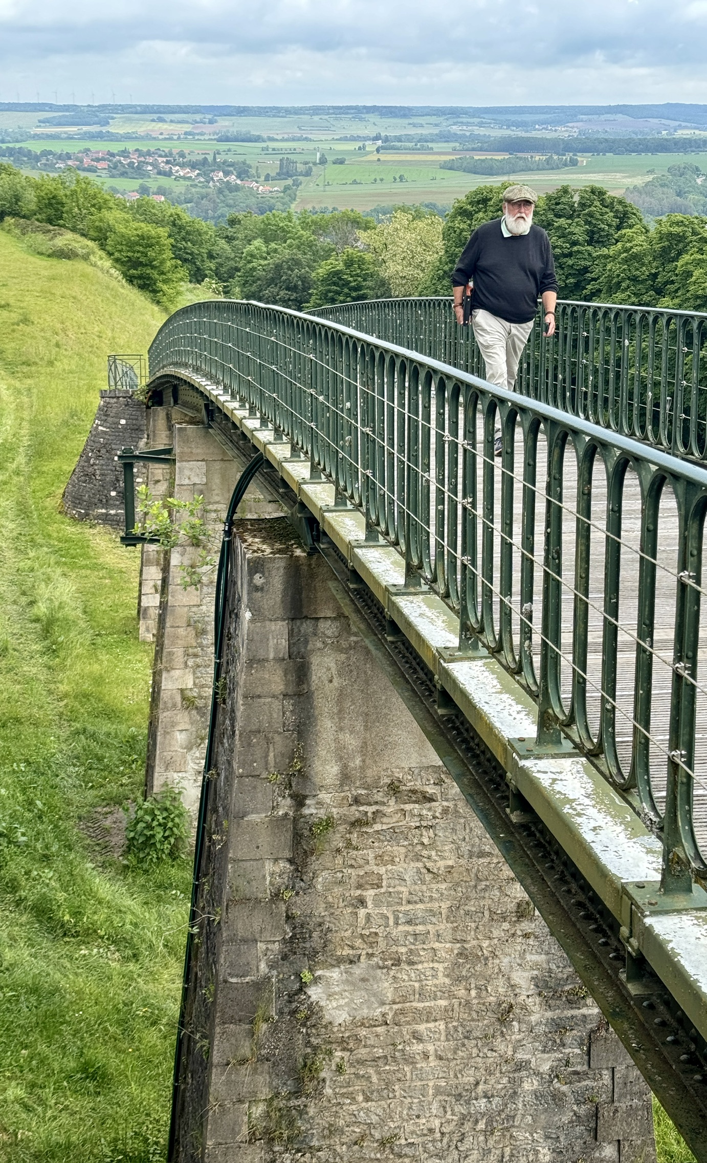
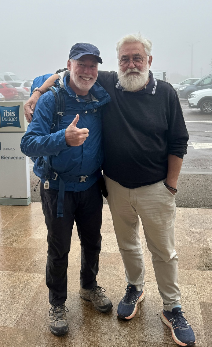
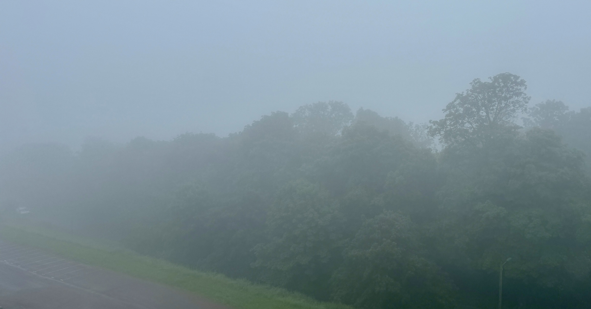
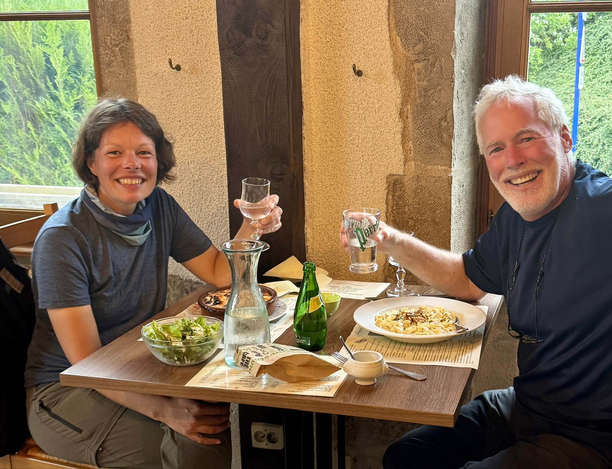
Today was a very long, yet very enjoyable day. I set out alone in the cold fog and dealt with variable weather for a couple of hours. Jacket on. Jacket off. At the same time, my German friend, Jürgen, drove for more than 4 hours from Frankfurt, and we managed to time our respective arrivals in the village of Beauchemin within 5 minutes.
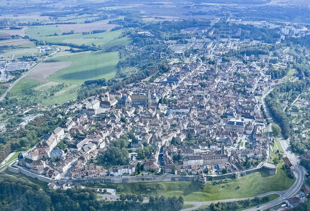
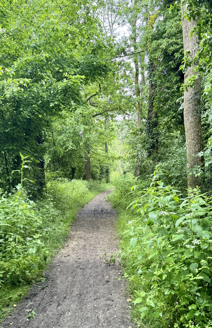
I’ve known Jürgen for a long time, although most of those years we were out of touch as we raised our families. We first met when his wife, Christl, and I were foreign exchange students together at Stirling University in Scotland. I’d never had the chance to spend as much time sharing stories with Jürgen as I did today. We walked together along very wet, muddy tracks to reach the ancient hilltop city of Langres, where we will enjoy my rest day together tomorrow. The reward for our efforts today was a NATO-like dinner reunion with Dirk, Giulio, and Giulio’s visiting girlfriend, Gaby. (Germany, Belgium, Italy, France, and the US were well represented, and I guarantee the alliance is strong with smart, strong, and kind people!)
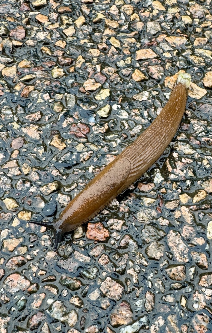
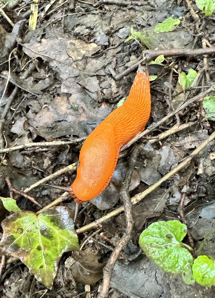
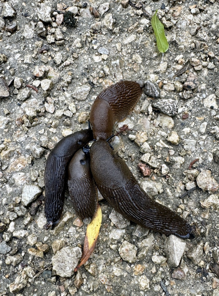
The slugs come in so many different colors!
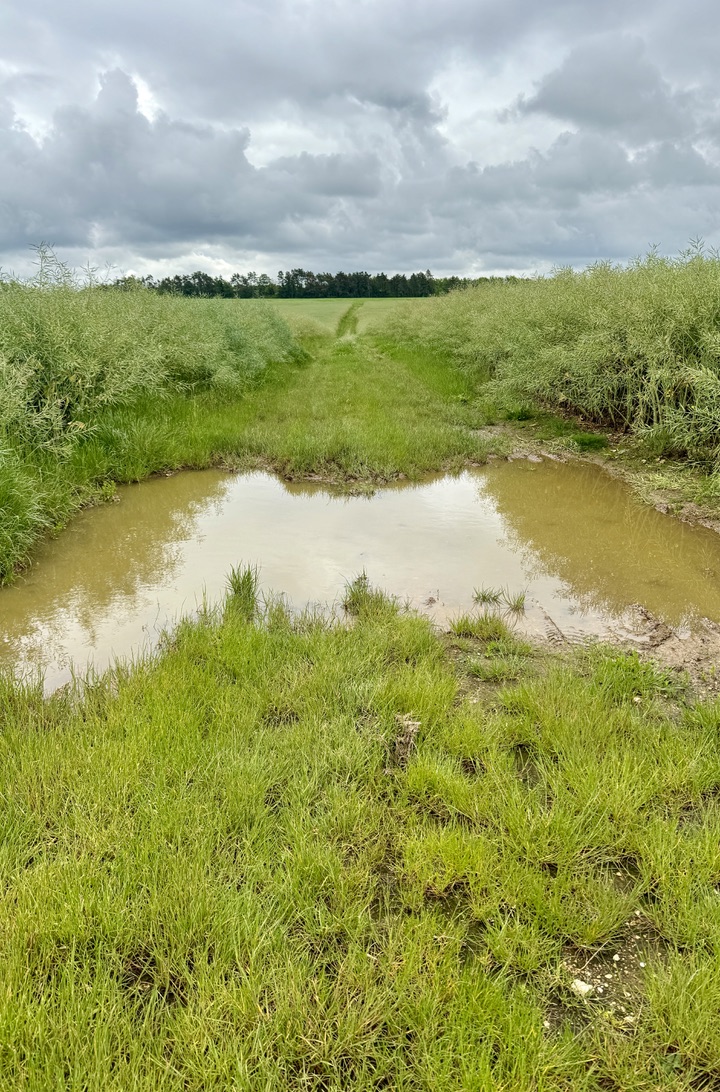
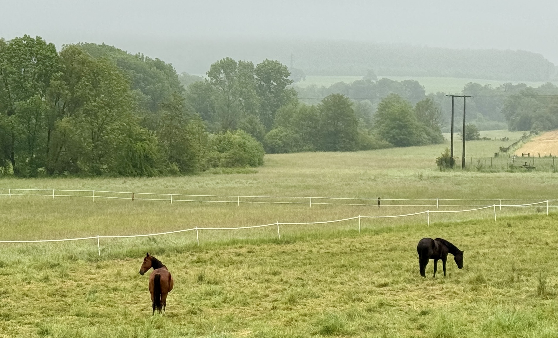
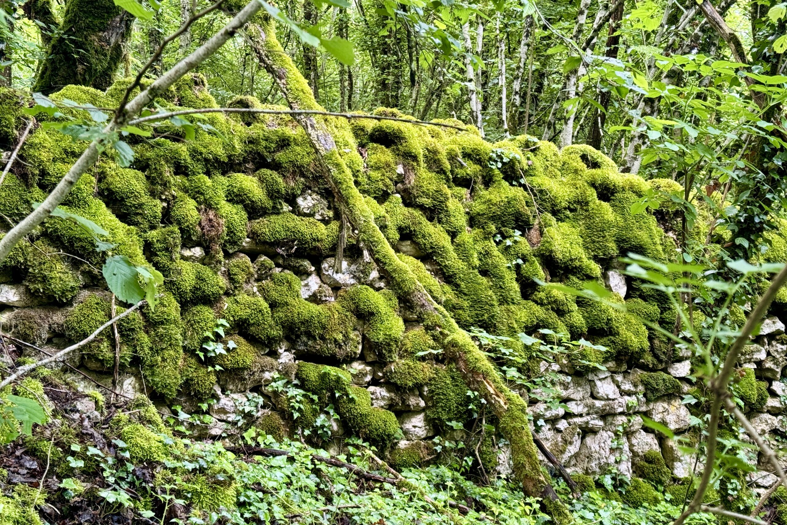
Evidence of the wet is everywhere!

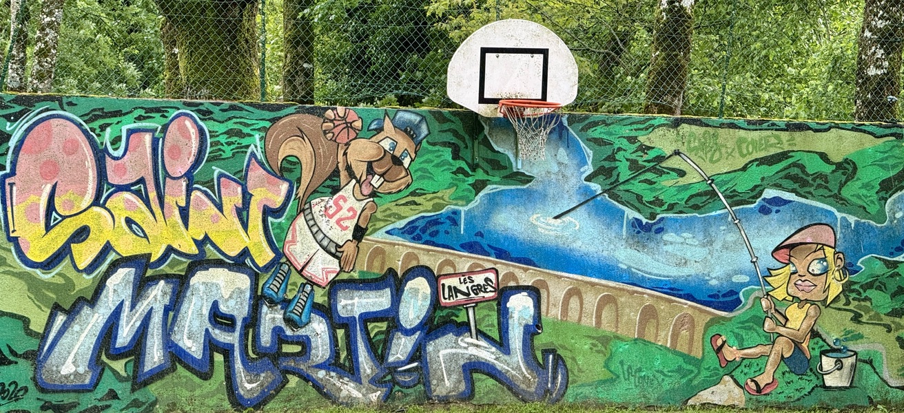
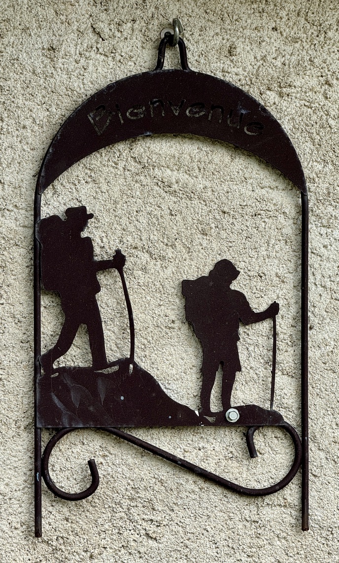
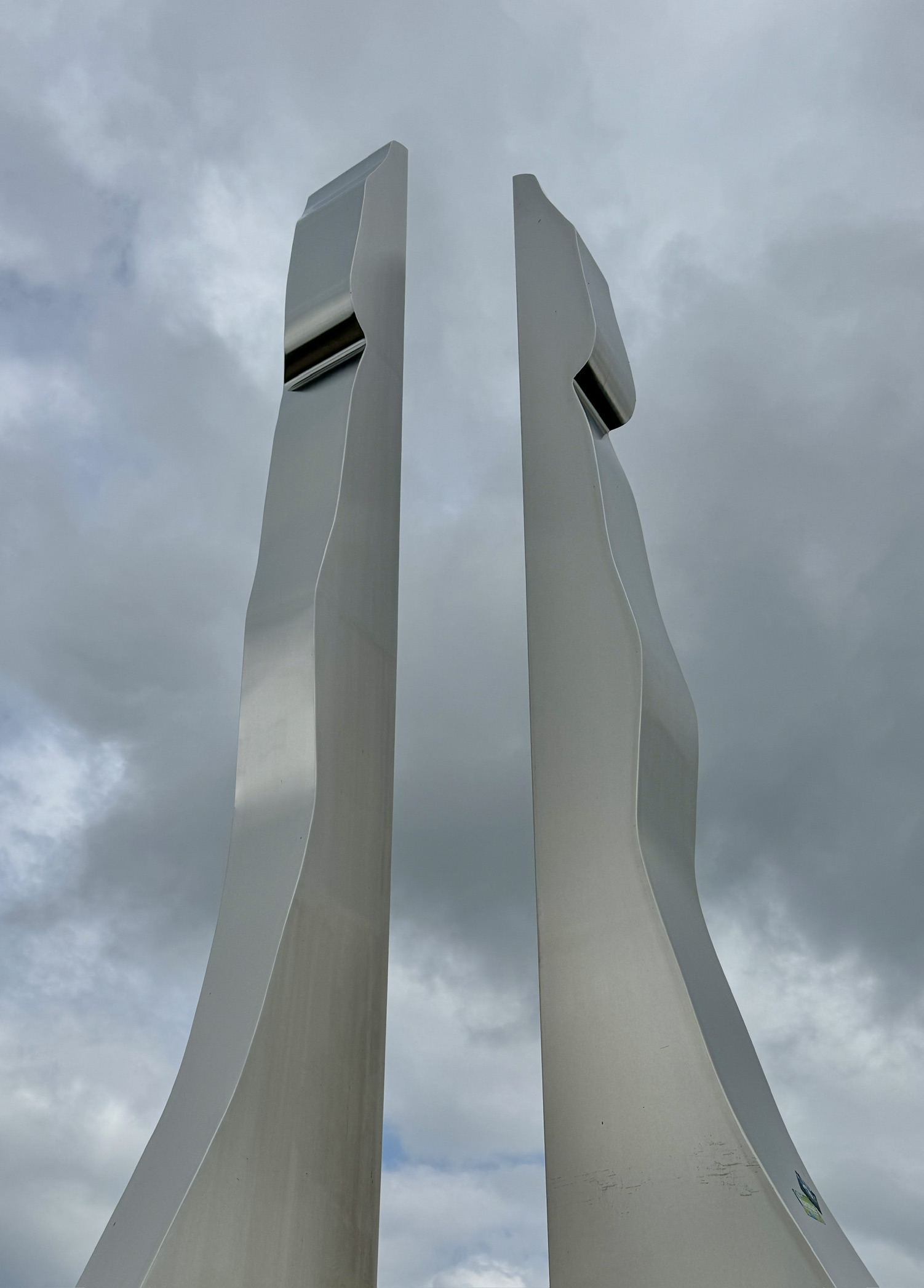
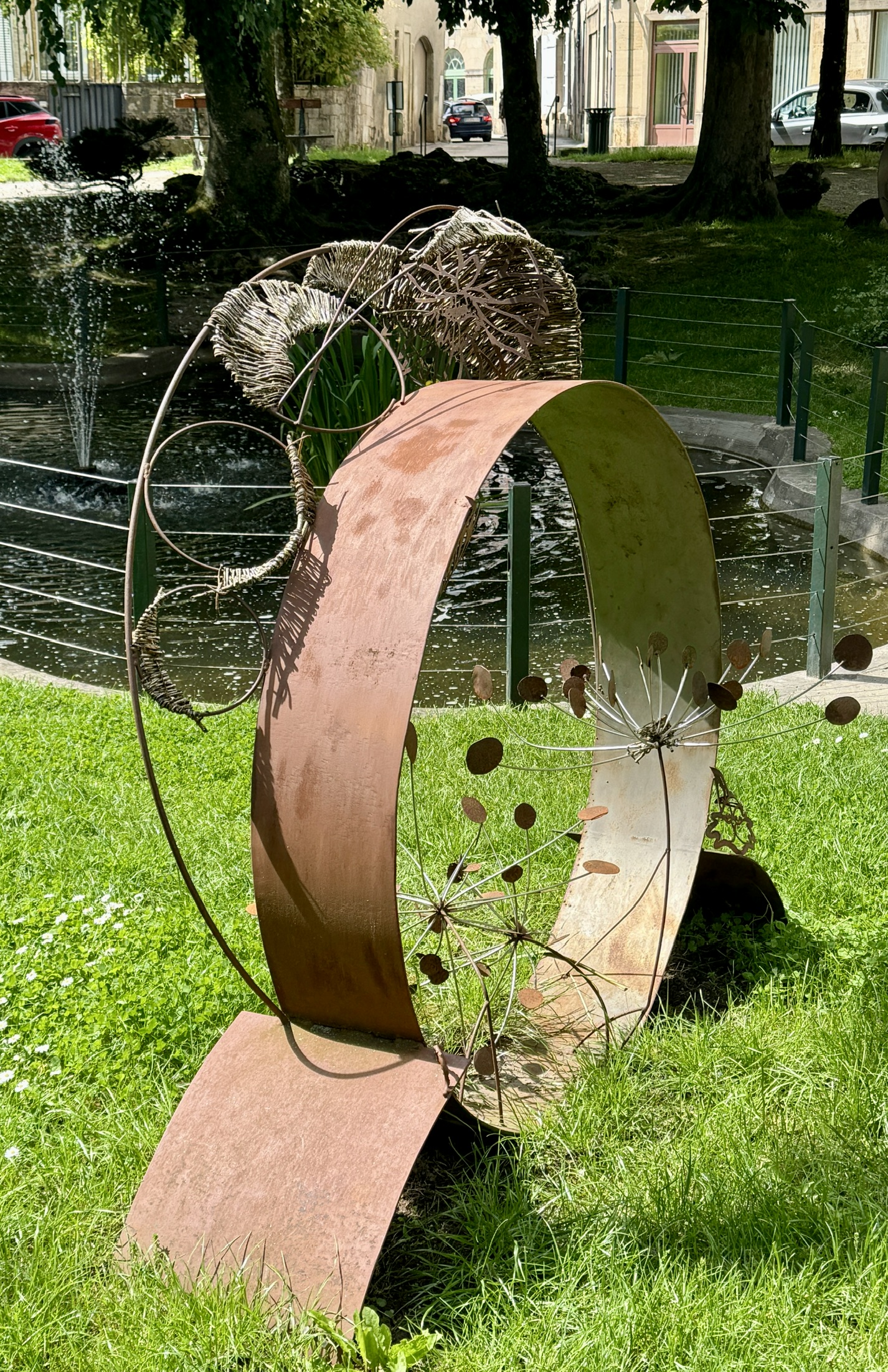
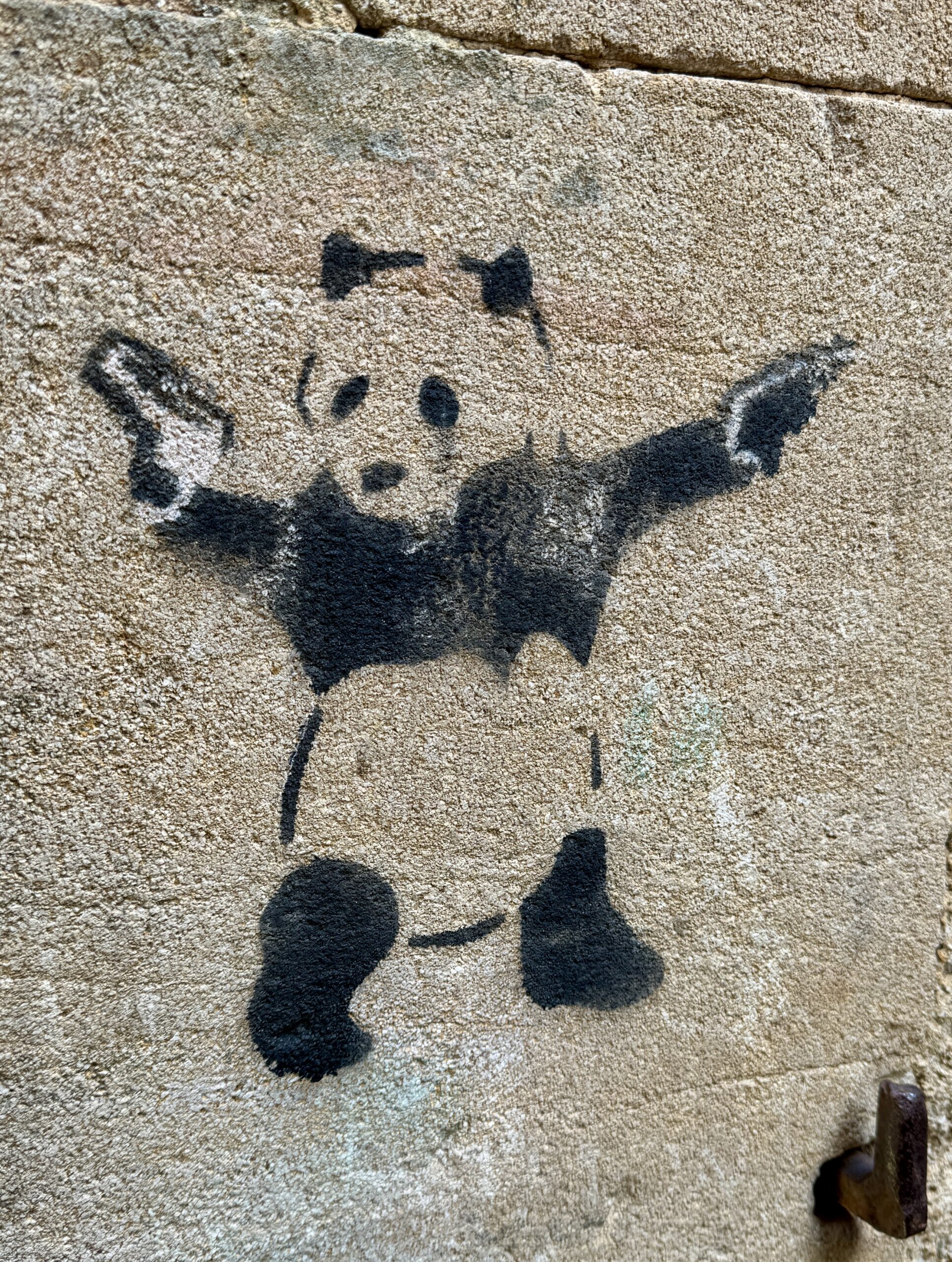
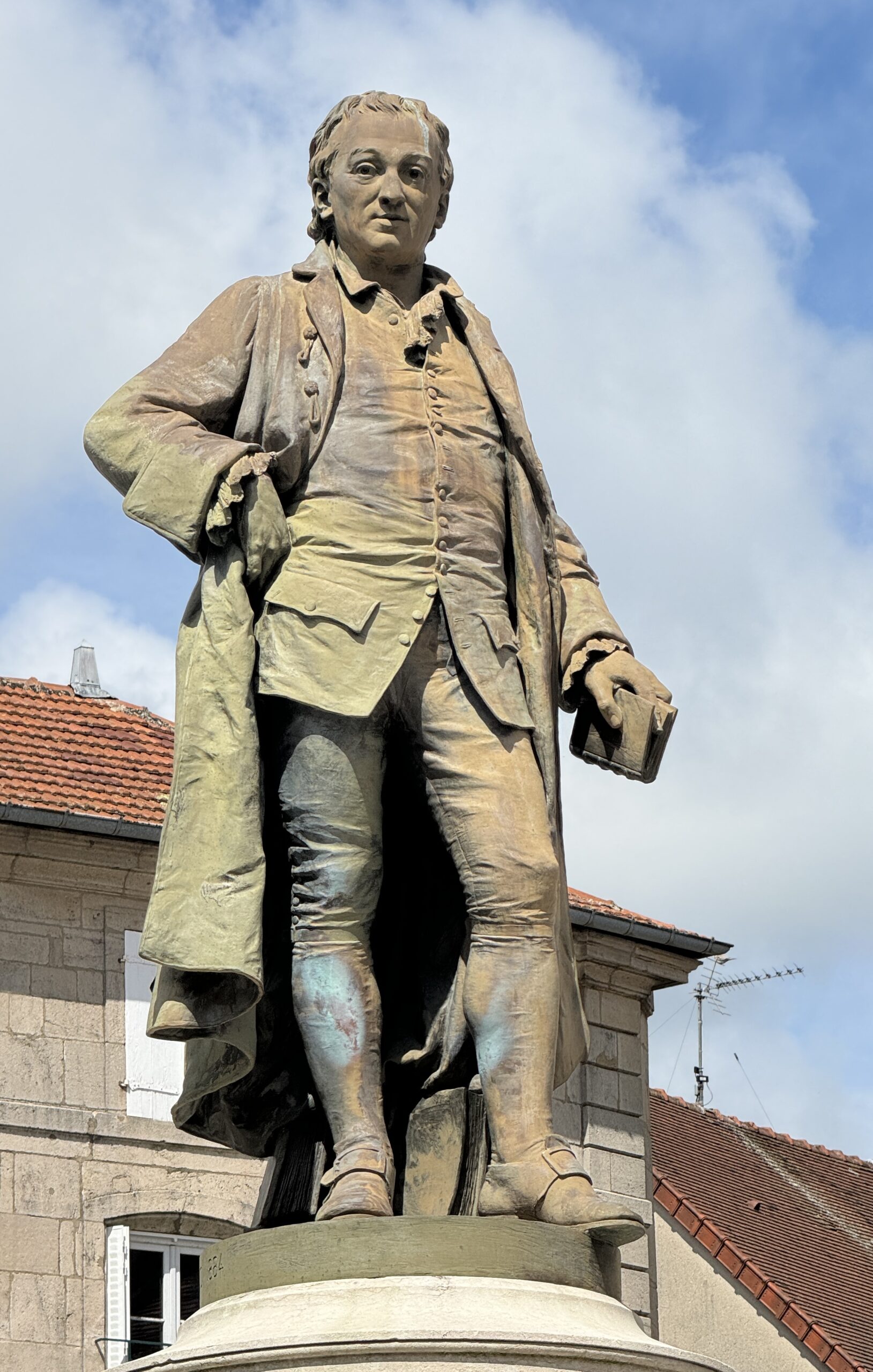
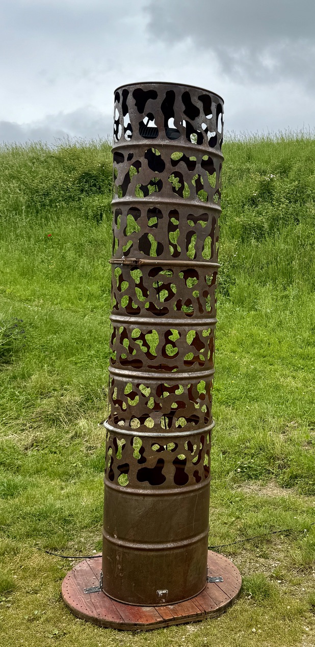
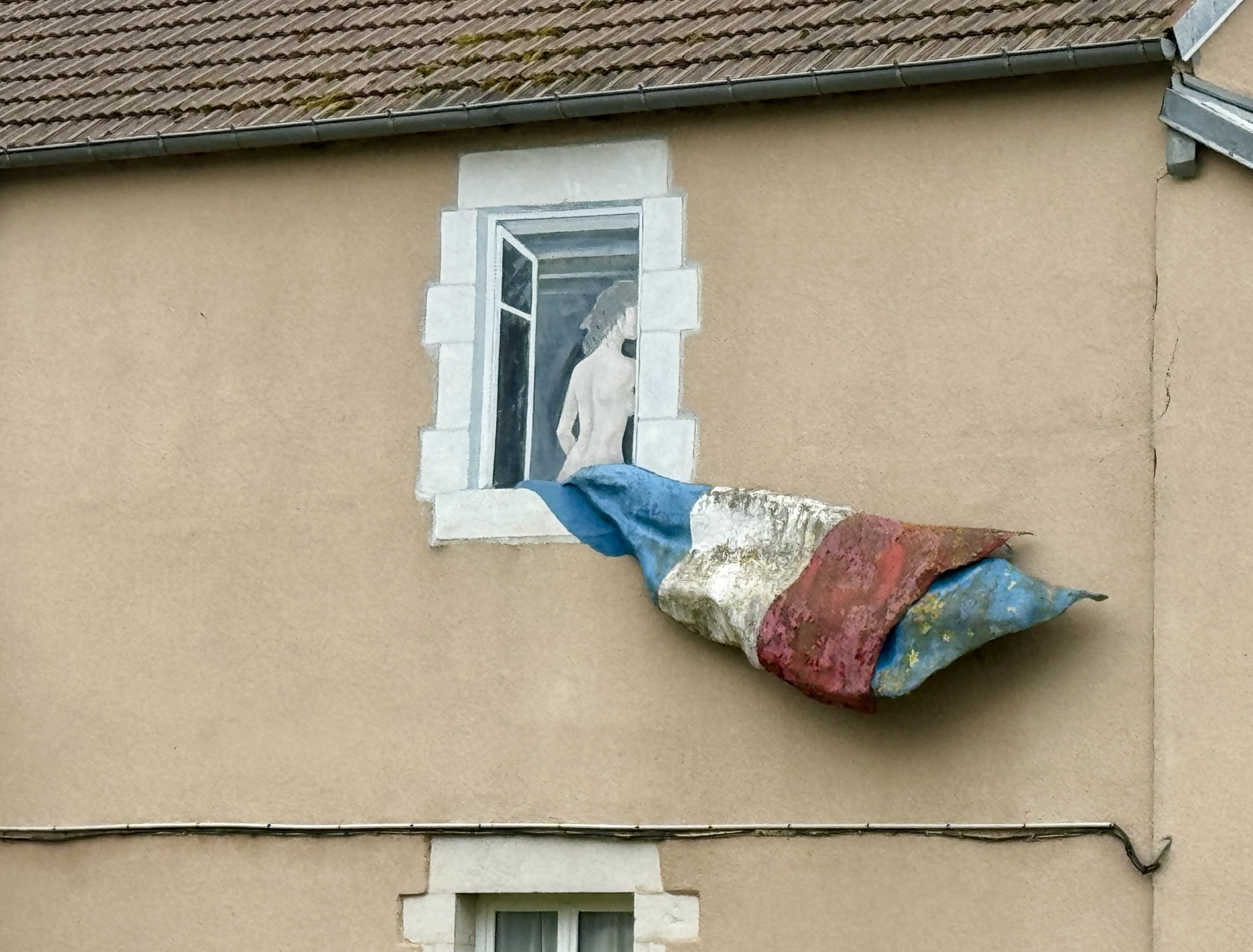
Public Art
Beauchemin was empty, but I found the one person I was looking for!
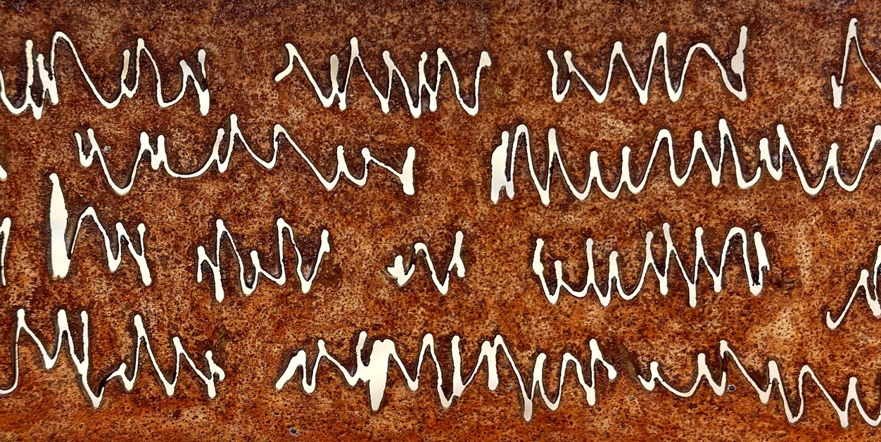
Jürgen’s art, en route…
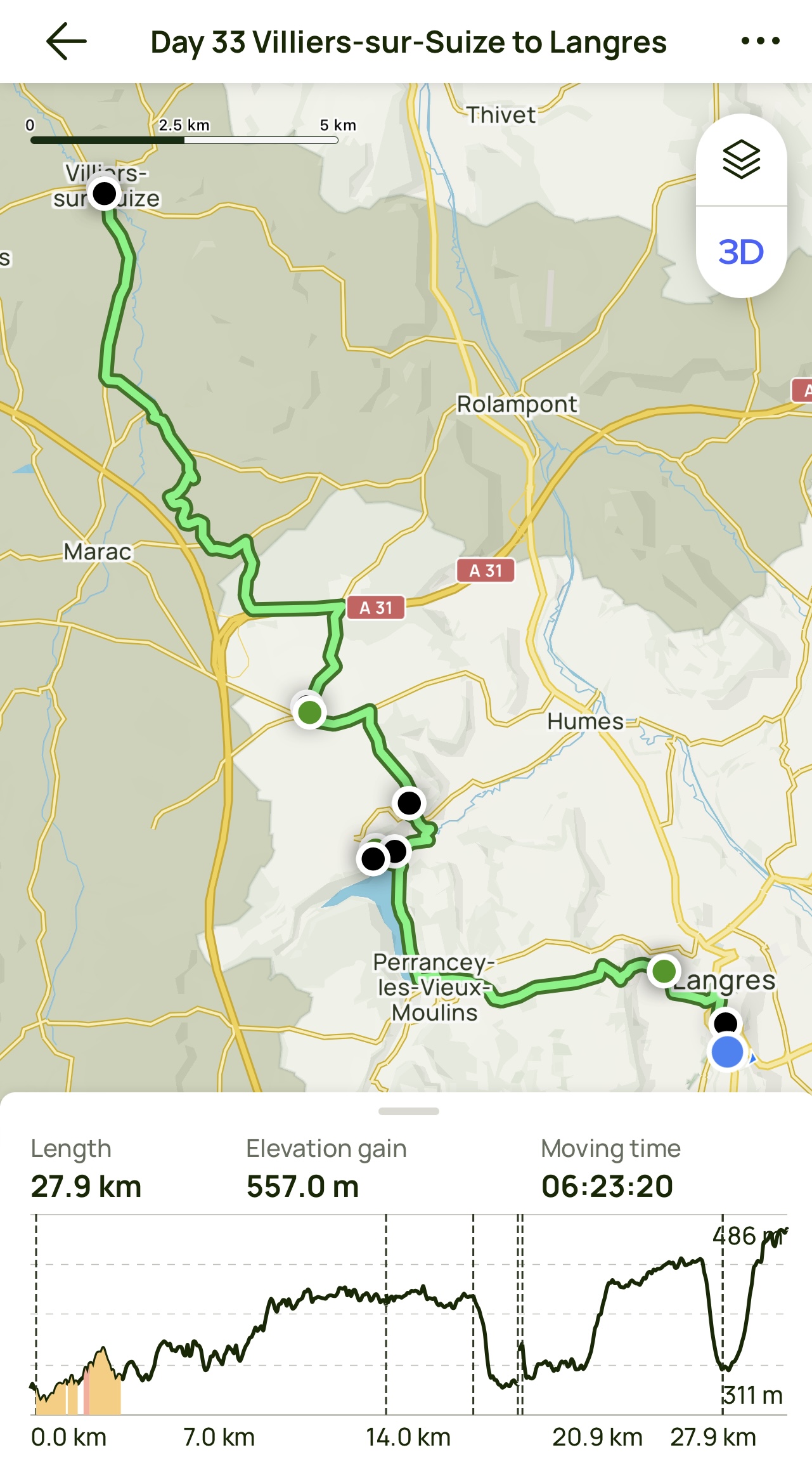
Day 33 AllTrails Stats
Distance: 27.9 km / 17.3 miles
Elevation Gain: 557 m / 1,827 feet
Steps: 41,352
Relive: https://www.relive.cc/view/veqz1wGRPB6
Accommodation: Ibis Budget, Langres
Rest Day: Langres
My camino walking is built on routines. Even my rest days have their routines. Typical rest day chores: sleep in a bit, eat a cooked breakfast, machine-launder everything, find a barber to trim my beard and maybe cut my hair, then do some typical tourist activities. Not as much as the tourists do, though, because I also try to honor the word “rest” in “rest day.”
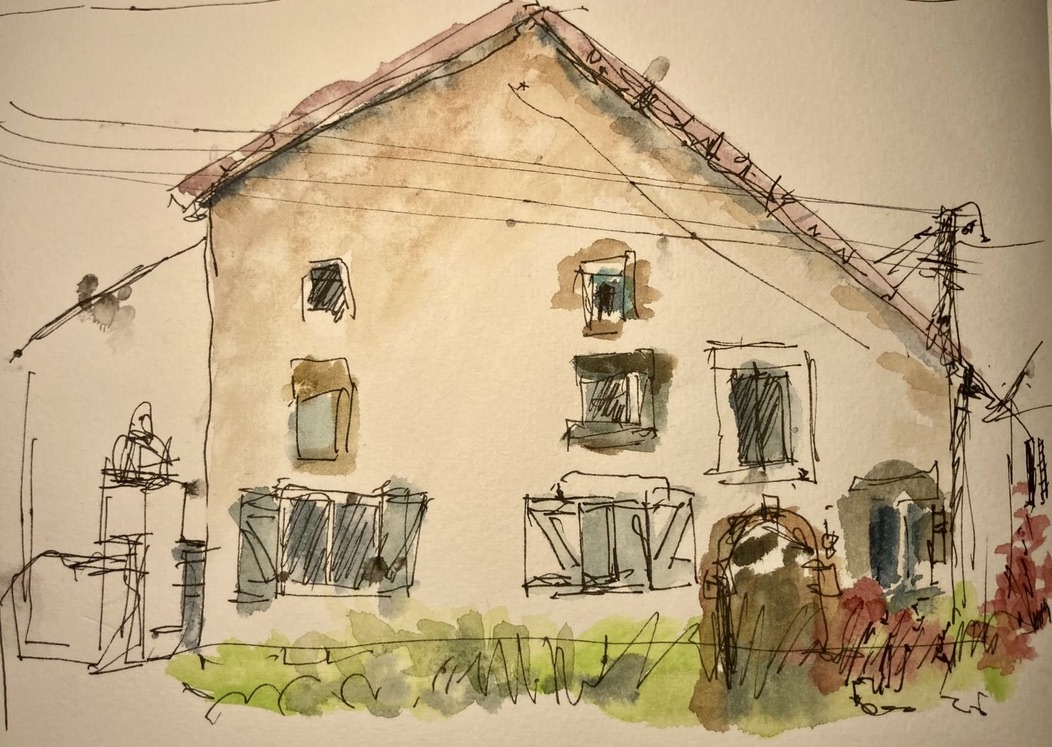
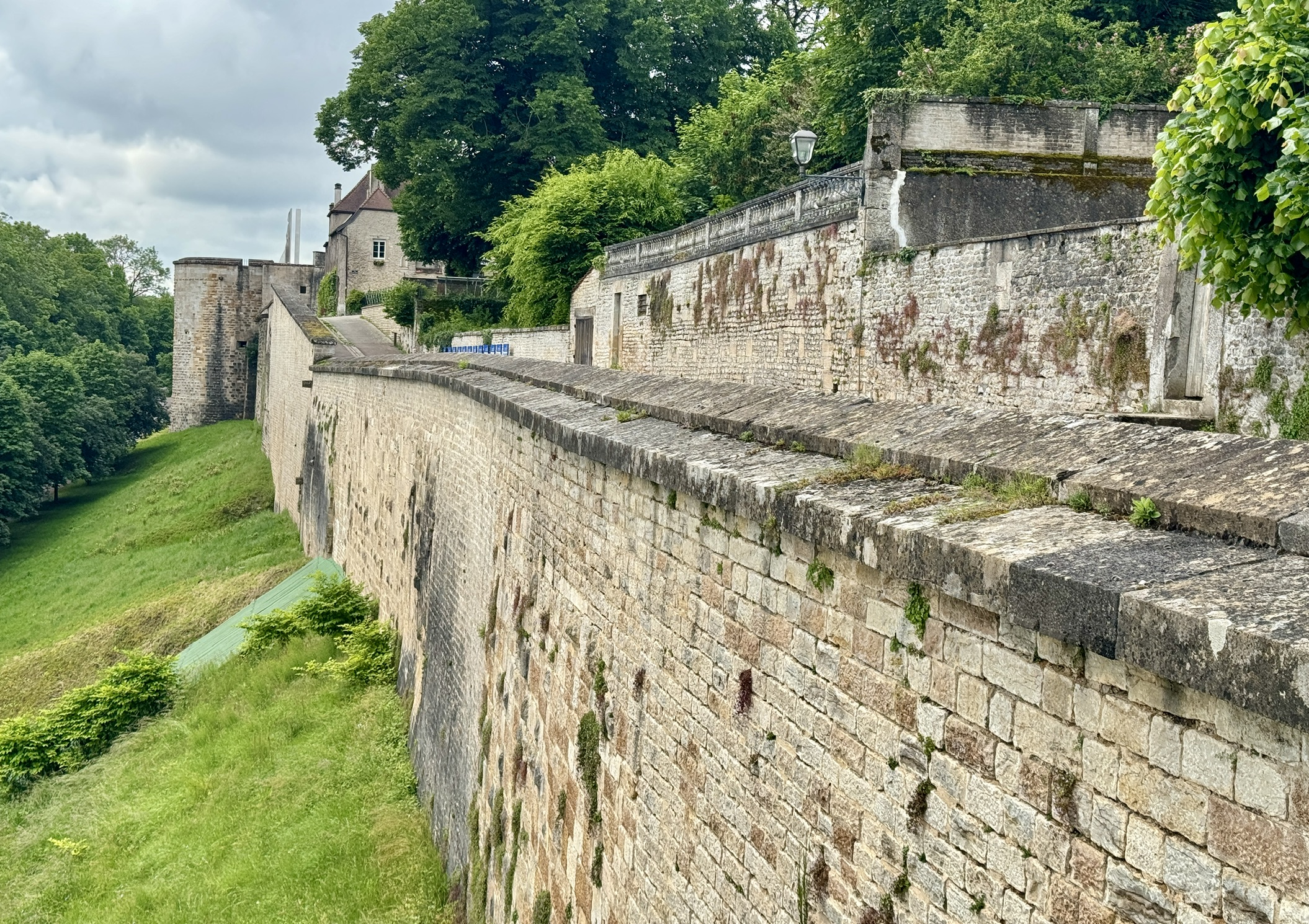
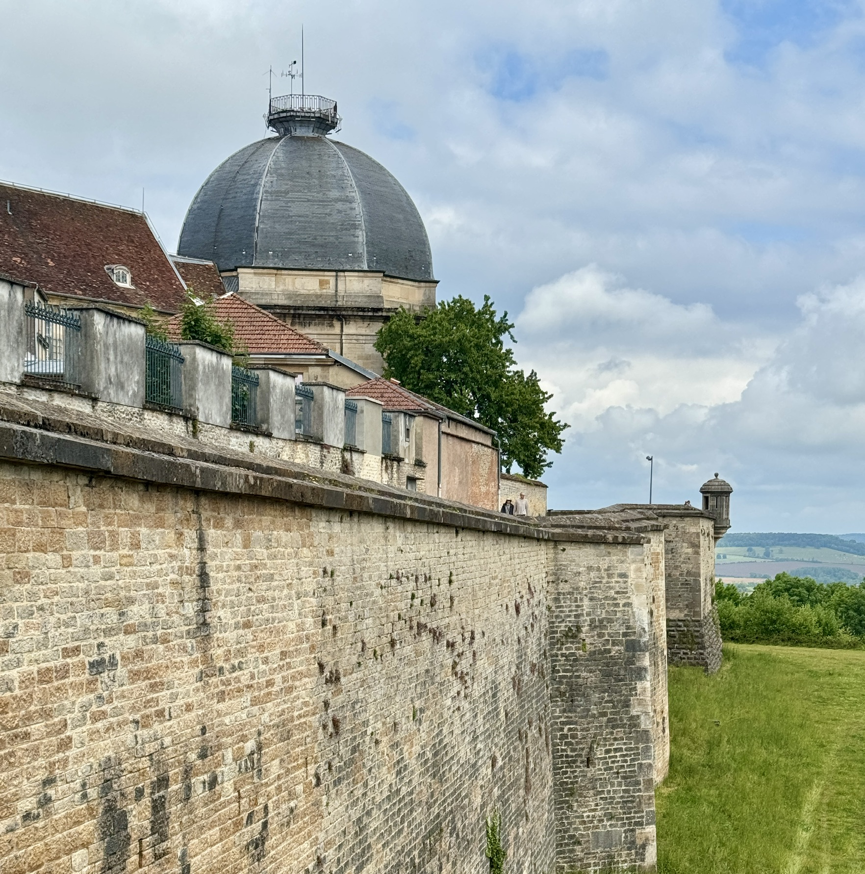
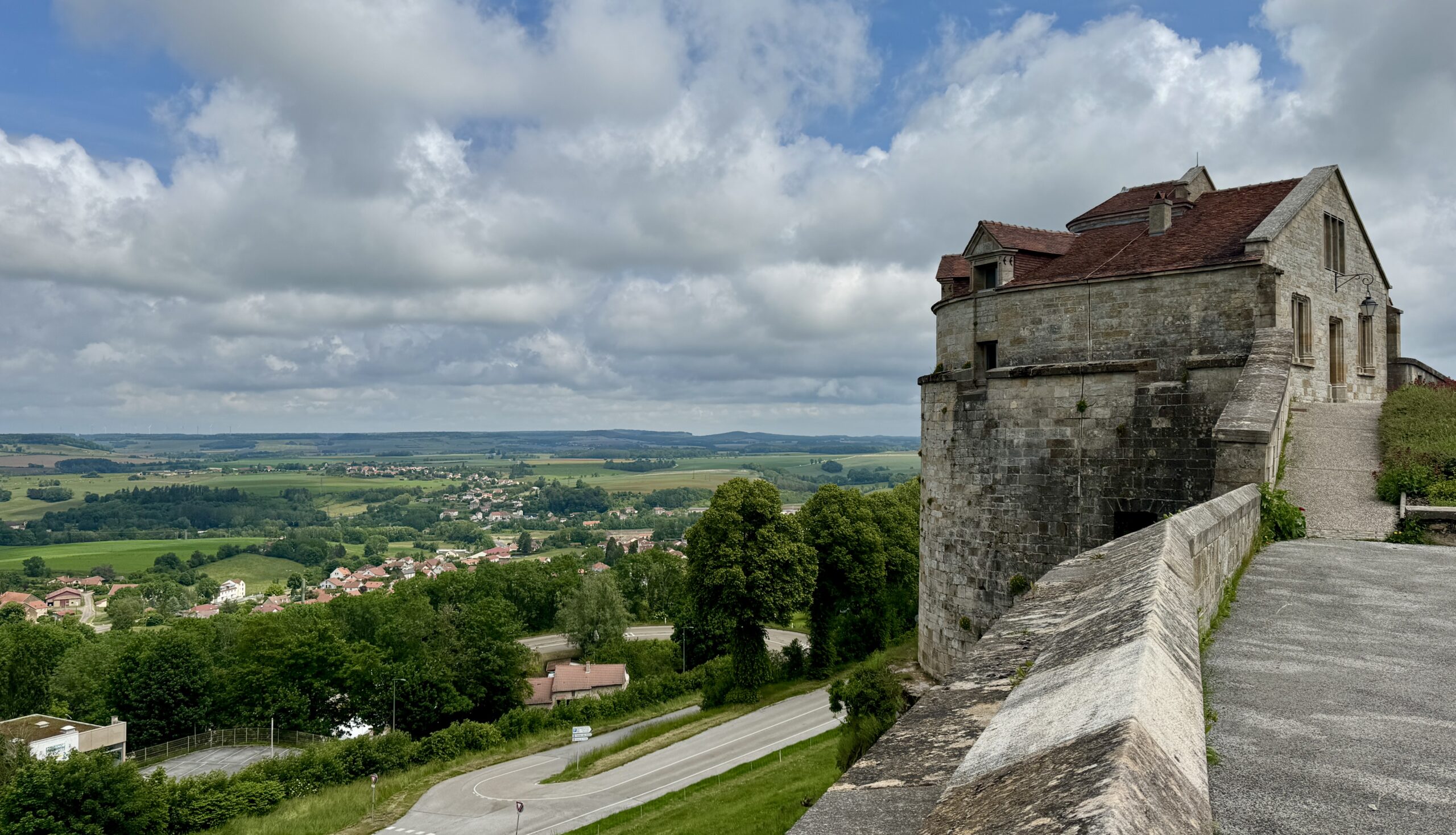
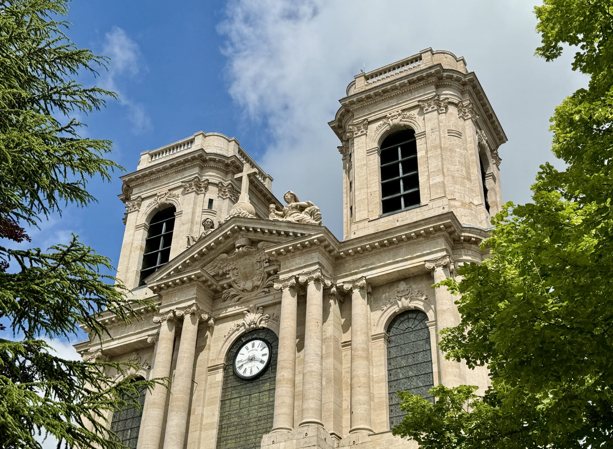
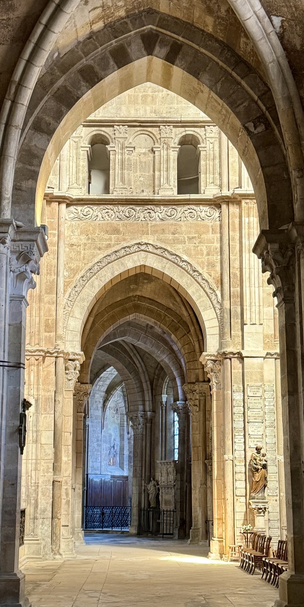
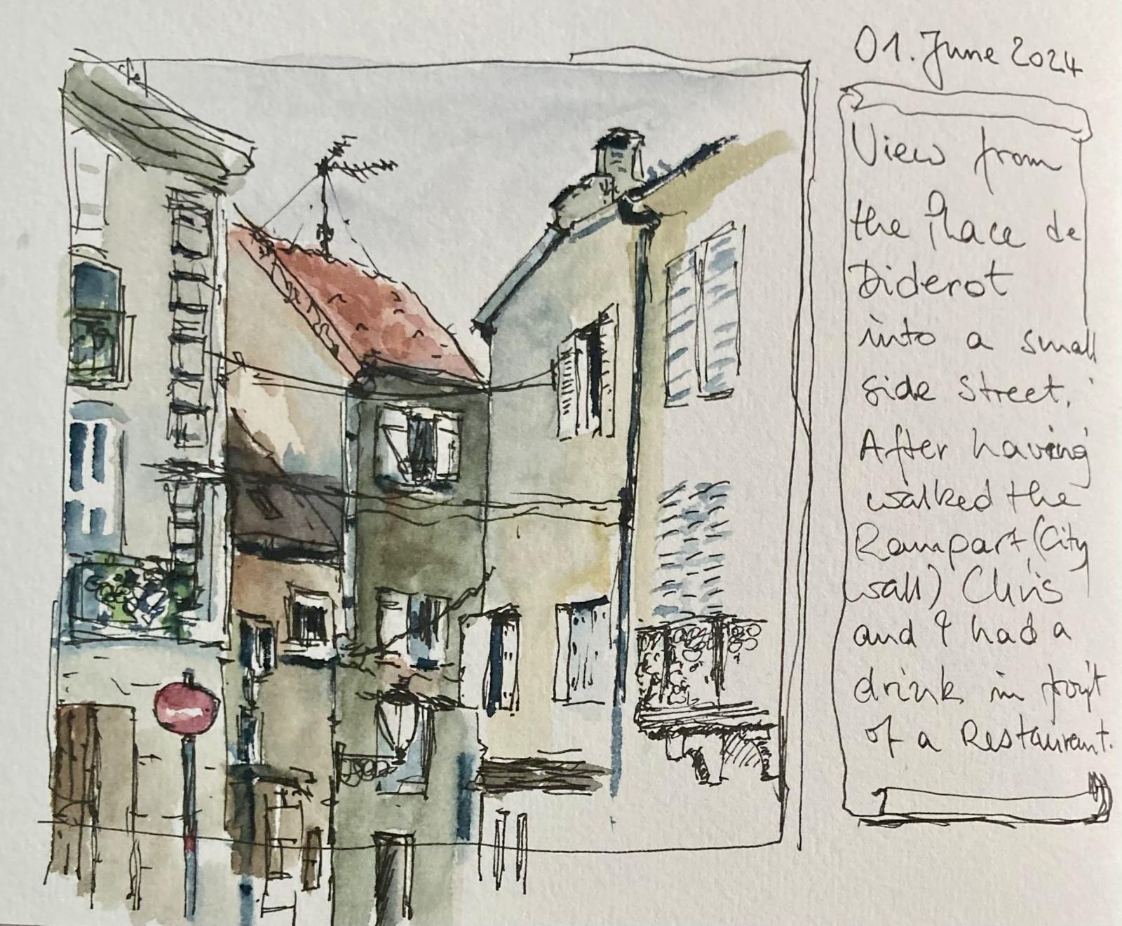
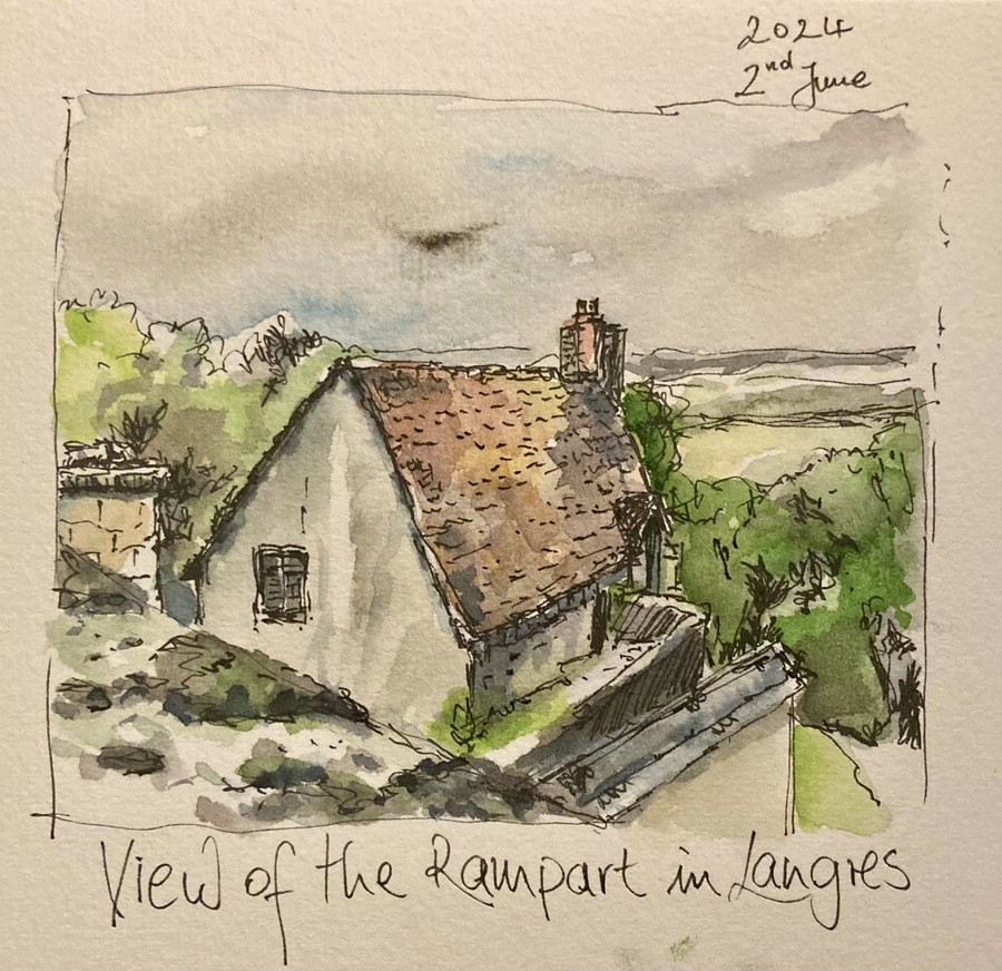
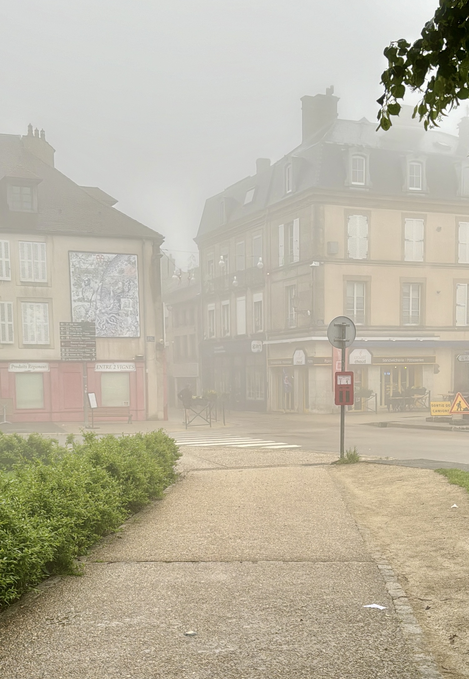
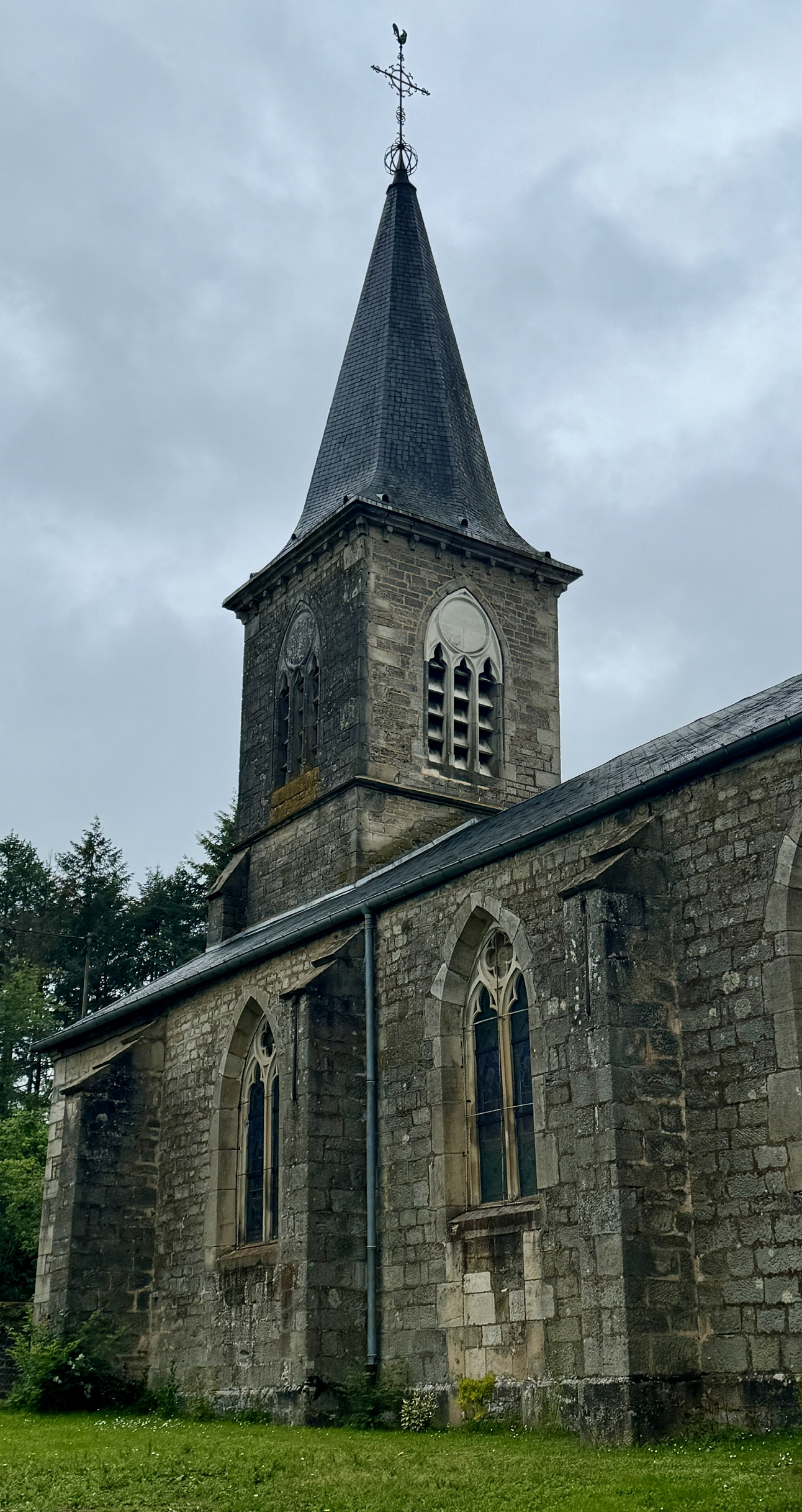
Jürgen and I walked around the city wall atop the ramparts, visited the Langres Cathedral and an art exhibition, walked through narrow medieval streets, and talked at length about a full spectrum of topics. Our restful activities included sitting in a central plaza café, enjoying a cold beverage. Jürgen sketched and painted in watercolor the interesting buildings around us in the changing afternoon light. After a quick trip to the market for some food I might need over the next few days, we were ready for a nice dinner at a nearby restaurant before heading back to our hotel where I prepped for tomorrow.
Please enjoy the photos of this beautiful medieval town.

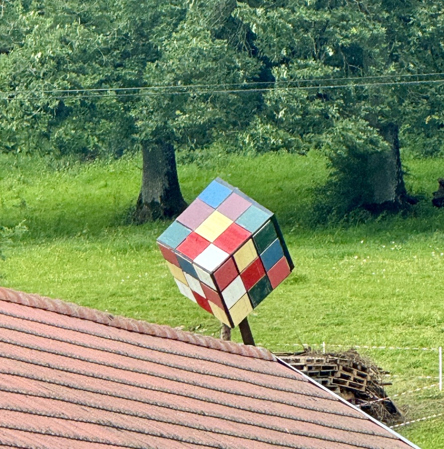
Public Art
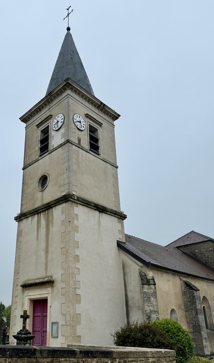
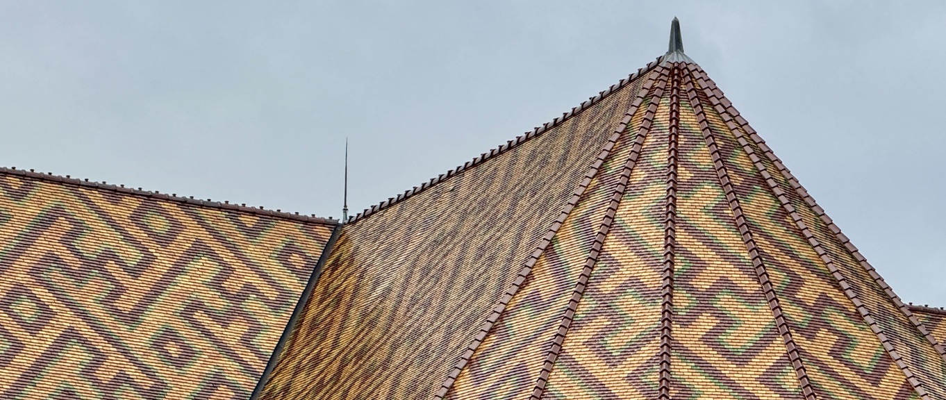
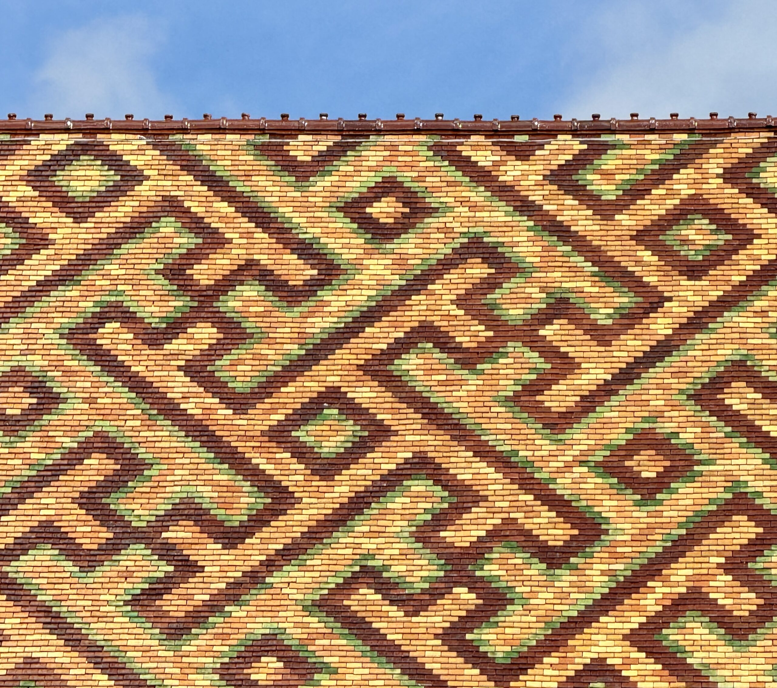
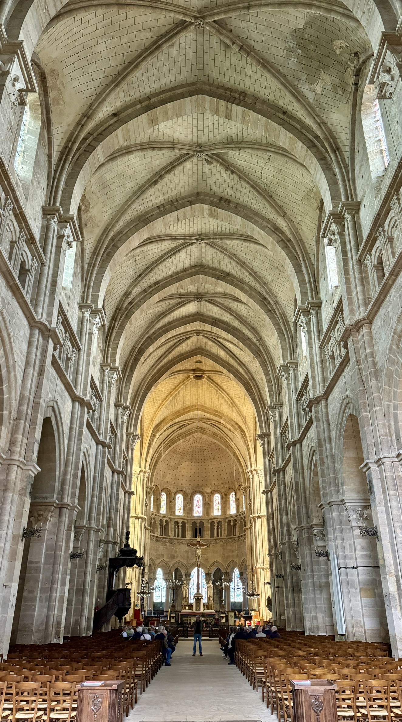
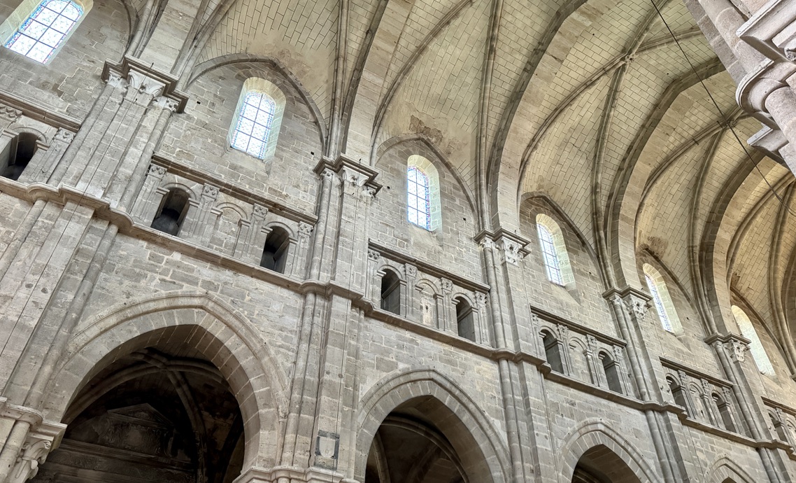
Langres Cathedral
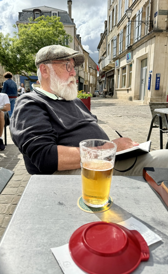
Jürgen’s paintings:
Before I resume my travelogue, I want to share something I’ve learned during the first few weeks of this long walk that distinguishes the Via Francigena from the Camino Francés and other caminos and vias I’ve walked. I’ve copied these notes from my journal. There are a lot of words and no pics. Please scroll down to resume our “regularly scheduled programming.”
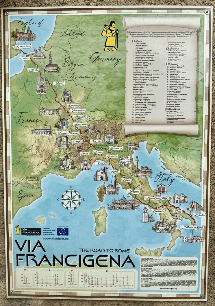
The stage out of Langres offers an excellent opportunity to compare the route variants available to walkers from Canterbury to Rome. These variants provide a tremendous difference in the distances we travel, the terrain we cross, what we see, what we don’t see, and the people we meet. They affect the whole experience, in fact.
Oversimplifying things vastly, I have come to think in terms of three general variants of The Road to Rome:
1. Historic Route: “In 990AD, the newly consecrated Archbishop of Canterbury, Sigeric of Ramsbury, traveled to Rome and back for the purpose of receiving his pallium, an item of liturgical wear meant for bishops and given only by the Pope. He listed pilgrimage churches and key religious sites along the way. His itineraries in and from Rome to the English Channel were recorded and safely tucked away for centuries in the Canterbury Cathedral library.” (Walking the Via Francigena Pilgrim Route, Sandy Brown)
2. GR145: Established as a significant cultural route in 2004, this route roughly follows Sigeric’s but zig-zags a lot more to catch lovely vistas, national forests, modern-day services, etc. There is also a version of this route used by pilgrims on bikes, which walkers occasionally take when the disadvantages of muddy trails outweigh those of asphalt roads.
3. Google Maps: A handy tool to find the shortest possible distance between two points on foot, but sometimes (in my experience) it is unaware of overgrown paths, rivers and streams, and security fences that might hinder progress or be entirely impossible. Additionally, Google’s navigation algorithm gives no extra weight to beautiful scenery and no less weight to roadways dominated by speeding vehicles.
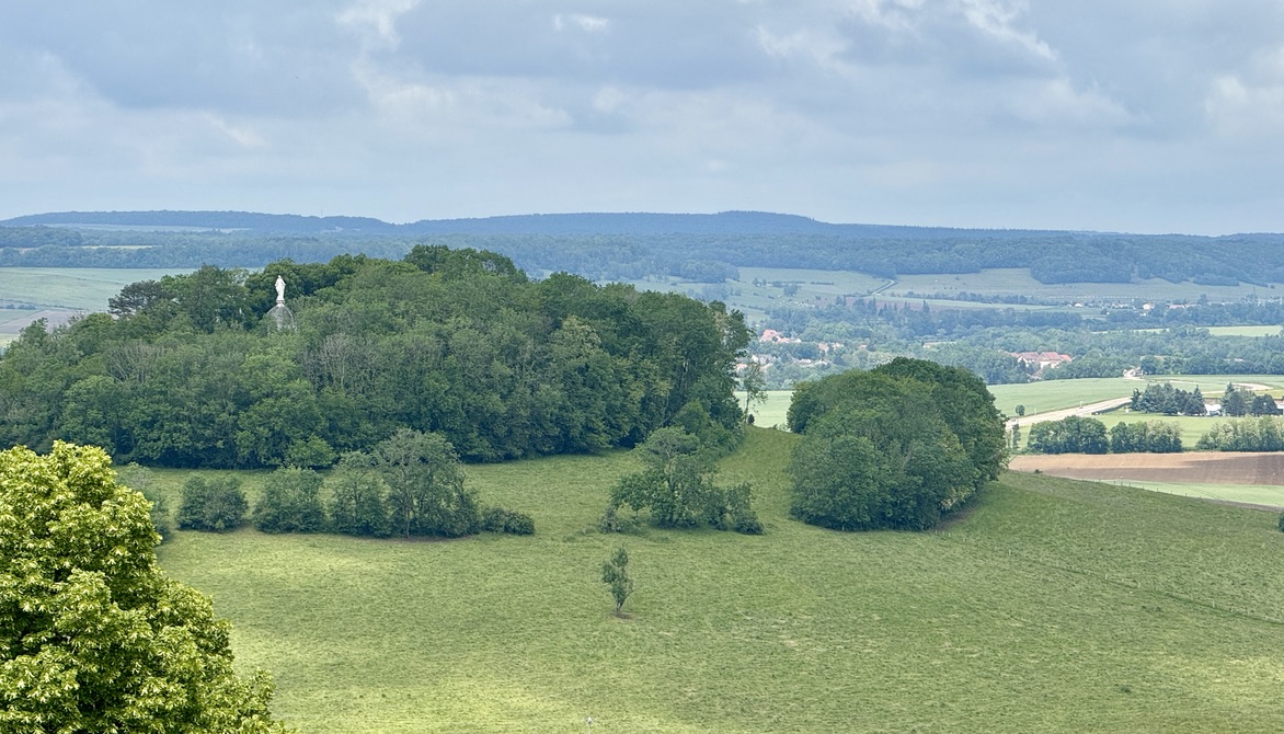
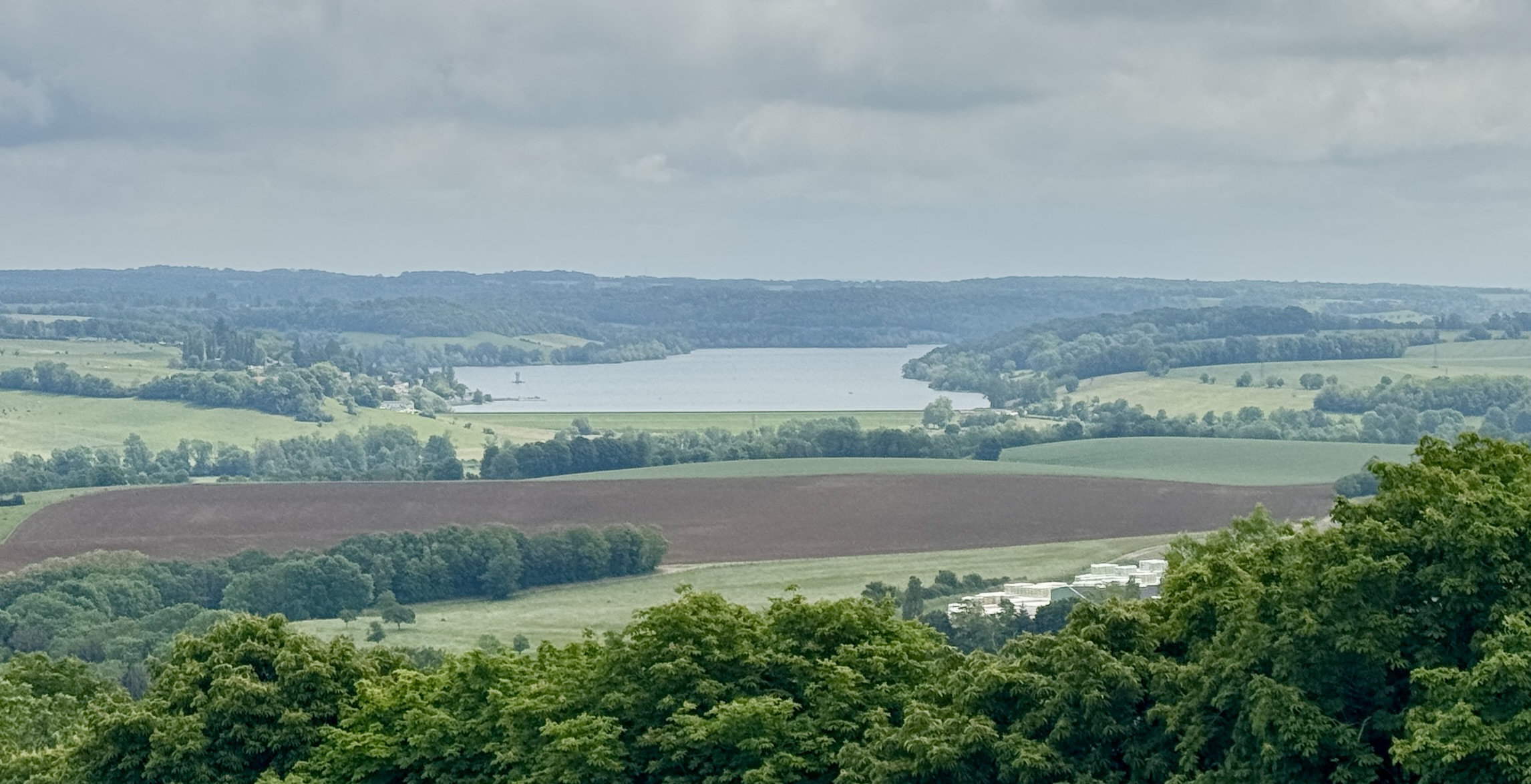
I will use today’s stage, from Langres to Culmont, to show how large the difference can be.
Google Maps suggests one of three “direct” routes, the best being just 11 km and 2½ hours.
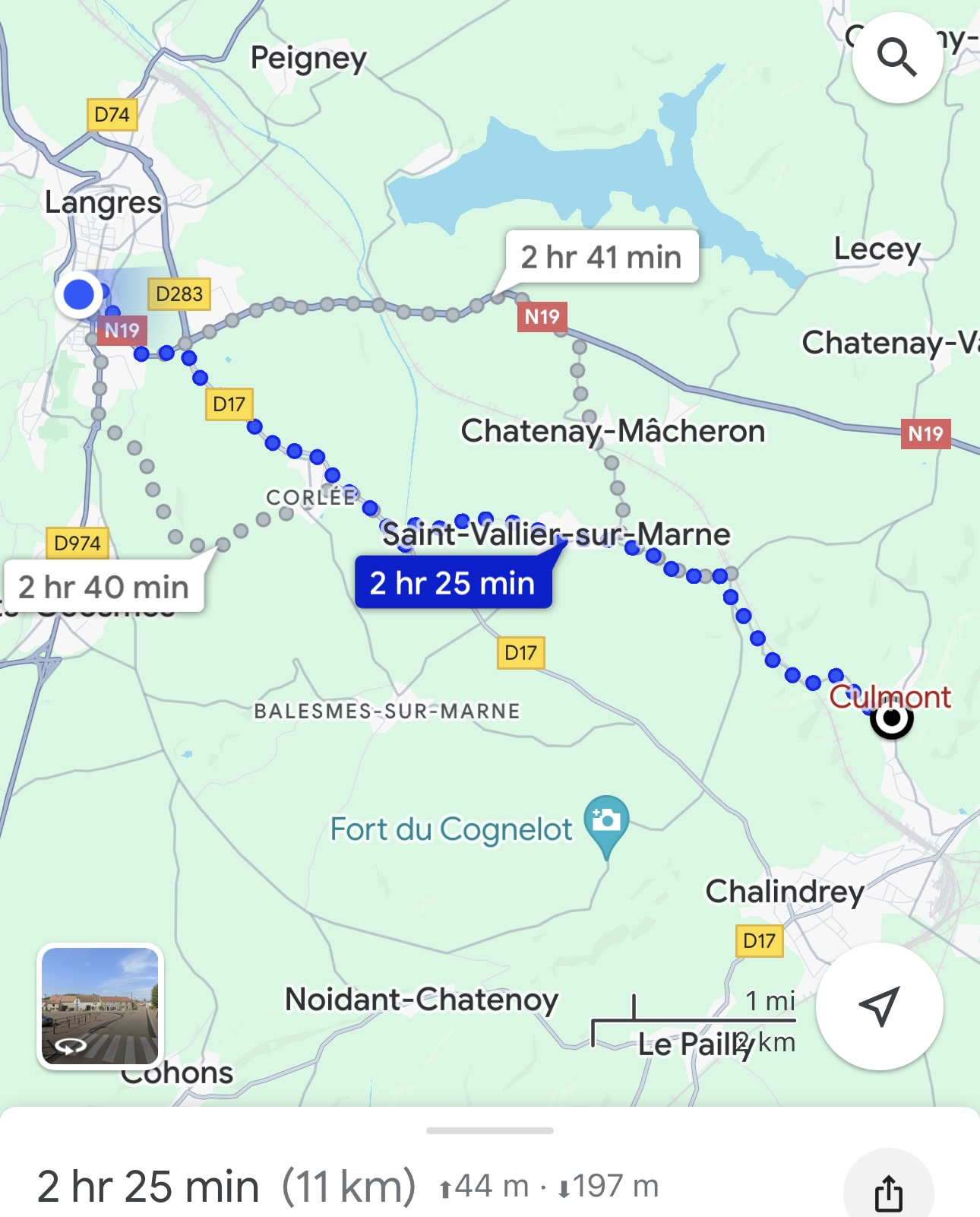
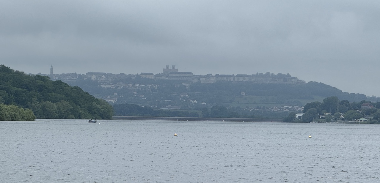
The GR145, on the other hand, takes us around the north side of beautiful Lac de la Liez: more than twice the distance and time!
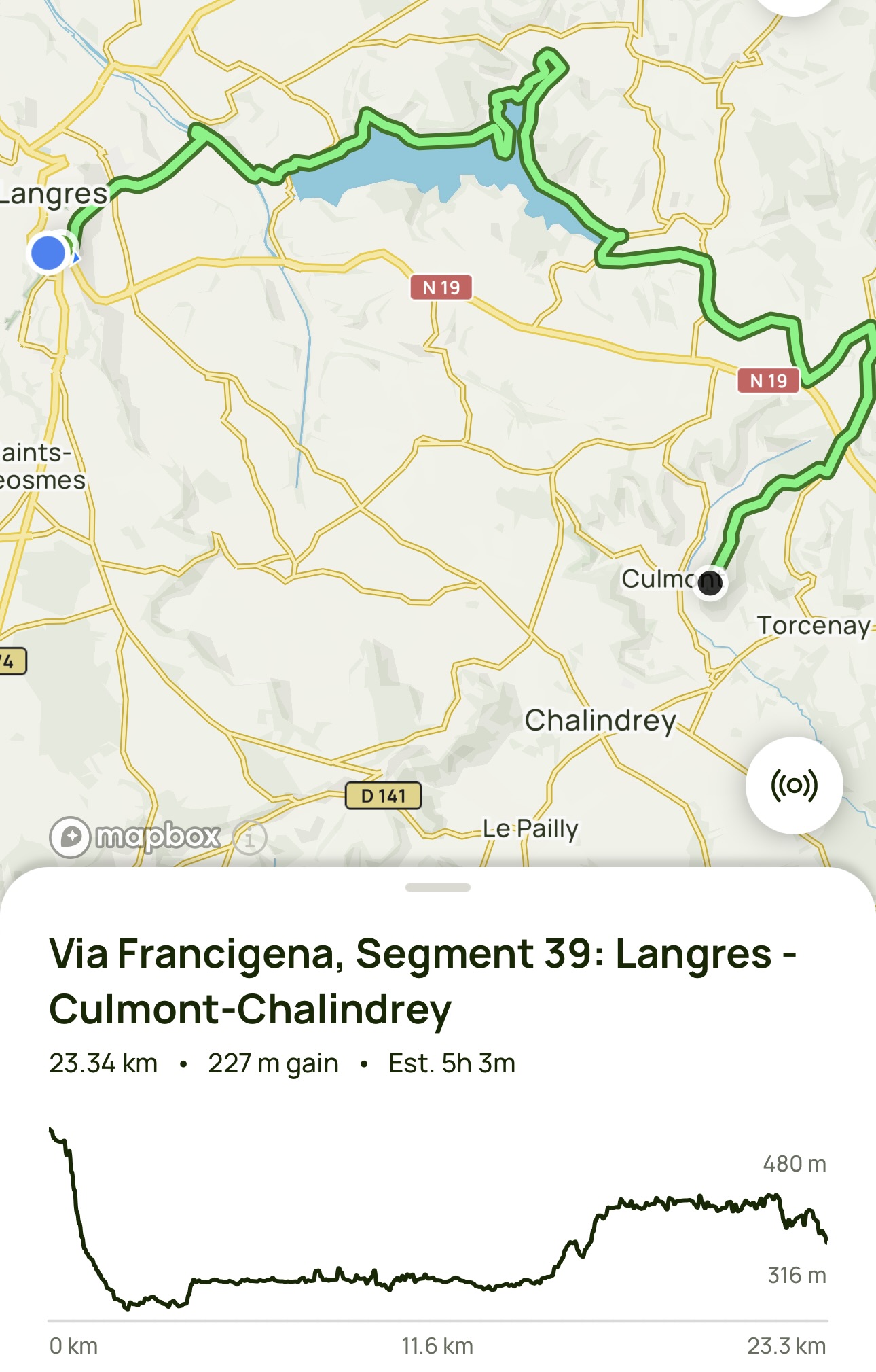
I don’t have an illustration of this stage on the Historic Route, but typically, its distance and time fall in between the other two. Medieval pilgrims preferred flat, straight paths, valleys, and mountain passes (not mountain peaks with nice views). This route was usually built along the flat, straight roads first laid down by the Romans for trade and military purposes, with occasional diversions to monasteries and religious sites. Since a dam forms the Lac de la Liez, we can be sure that the Historic Route doesn’t follow the GR145.
Because each pilgrim today walks the Via Francigena for his or her own purpose, it is common to find everyone walking their own unique routes (couples and groups who travel together excluded), and yet… every one of the (few) other pilgrims I’ve met has taken a mixture of the three variants. Those pilgrims who have a clear objective and plan their future movements might follow one variant more than the other two. Still, daily conditions—how we’re feeling, the weather, or trail conditions—easily affect the course we take from one day to the next (and even from one village to the next when mid-stage).
A real-life example of this comes from another Californian, Pilgrim Bill (not the same Bill I had dinner with the other night). I haven’t met Pilgrim Bill in person, but we stay in frequent contact over WhatsApp. He started from Canterbury quite a while after me and has steadily closed the gap between us. His average daily distance is greater than mine, but that’s not all that’s at play. On the night we were overnighting in neighboring villages, just a few km apart, he wrote to me: “There’s the difference. You just passed 700 km, taking the more beautiful and scenic route. I’ve not caught up with you, yet I’ve walked only 520 km, on the shorter historical route.”
Pilgrim Bill has a personal commitment to others to be in Rome on a specific date so he’s feeling the pressure of a ticking clock.
In contrast, I accept the fact that I will not make it to Rome before my 90-day visa expires. I’ll just go as far as I can without upsetting any of the authorities.
Without a well-defined goal and plan, my approach is all over the map! (Both the cartographic map and my psychological map.) One day, I’m gung-ho to combine stages, walk on paved roads alongside speeding trucks, and maintain a fast pace to get as close to Rome as I possibly can. The next day, I take frequent breaks, sit on park benches, chat with folks working in their gardens, watch slugs and snails, and listen to birds. In the early weeks, this mix of “approaches” to each stage bothered me as I tried to settle into one style—into my camino. I’m less bothered now. Well, at least I am less bothered about it today.
One of my personal goals for this trek is to intentionally be less dependent on my “normal” modus operandi of having a clear objective and always planning ahead. My entire lucky life—education, career, hobbies—has been guided by a regimen of goal-setting and detailed planning. At the same time, I have been impressed by (and a bit envious of) the experiences and successes of impulsive and spontaneous people. I want to learn how to incorporate that behavior into my own life. “Plan your work and work your plan” has been a useful formula, and I know I’ll always be inclined to that recipe in most endeavors. But I recognize that there are other ways to live, and I want to explore them. On this walk across Europe, I am trying to behave “out of character” for me and deliberately move out of my comfort zone.
How is this manifesting? Well, for example, I deliberately avoid reading any of the stage information in the guidebooks in advance. Instead, I read about each stage’s walk only on the night before I walk it. Furthermore, I am booking my accommodations just 2-3 days in advance. I once awoke not knowing where I would sleep that night—yet things worked out. To some of you, this might seem a bit silly. I do not claim to be a great risk-taker. I’m not heading out into the wilderness and can always knock on a farmhouse door for assistance. But… It’s a matter of degree.
And how is this working out? Initially, it was very uncomfortable for me, particularly with the limited availability of lodging options in northern France (and then dealing with my injured foot). But over the weeks and the miles, I’m gaining confidence in my ability to cope with the unknown. I am pleased to be developing these new skills.
Yeah, I think that’s why I’ve been ruminating on this for the past few days. Many long-distance walkers consider the metaphors and analogies between their walks and their lives. It’s hard not to. I am so privileged to have hours, days, and weeks to walk outdoors, usually in places unchanged for centuries, and to get lost in my thoughts. Thanks for letting me share some of them.
Je pense donc je suis. (I think therefore I am.)
Je marche donc je pense. (I walk therefore I think.)
– Me
Okay, let’s get back on the trail.
Day 34 Langres to Chalindrey
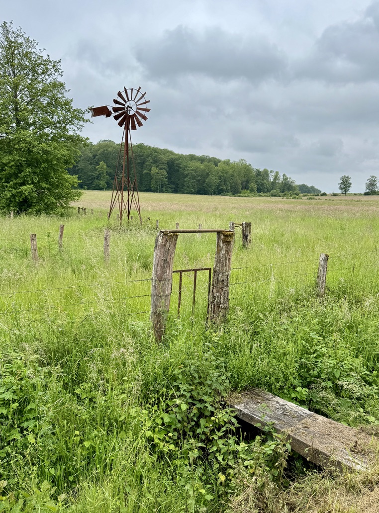
I’m sure glad Jürgen and I got to be tourists in Langres yesterday, because there was thick fog this morning that hid all the fantastic views we saw. After seeing him off on his drive back to Frankfurt, I walked down from the lofty city and headed through the wet fog to the lake. I had been on the path for only an hour when I met Ilona, a young woman walking to Rome from her home in Gouda, Netherlands (yes, she lives on a cheese farm!). She walked to Santiago de Compostela in 2011 (also from her home) and is excited to be back on another religious pilgrimage. We were headed to the same destination town, so we had a long chat that extended into dinner. We doubt that we’ll see each other again. She doesn’t have the visa deadline that I do, and she is taking a slightly slower pace. We realized that our goodbyes might be permanent.

Public Art
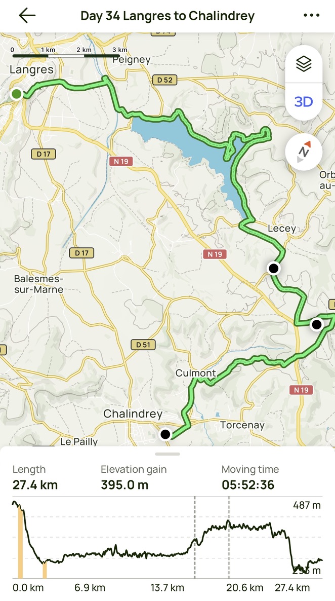
Day 34 AllTrails Stats
Distance: 27.4 km / 17.1 miles
Elevation Gain: 395 m / 1,296 feet
Steps: 42,222
Relive: Sorry – none today.
Accommodation: L’Escale Des Voyageur, Chalindrey
Day 35 Chalindrey to Champlitte
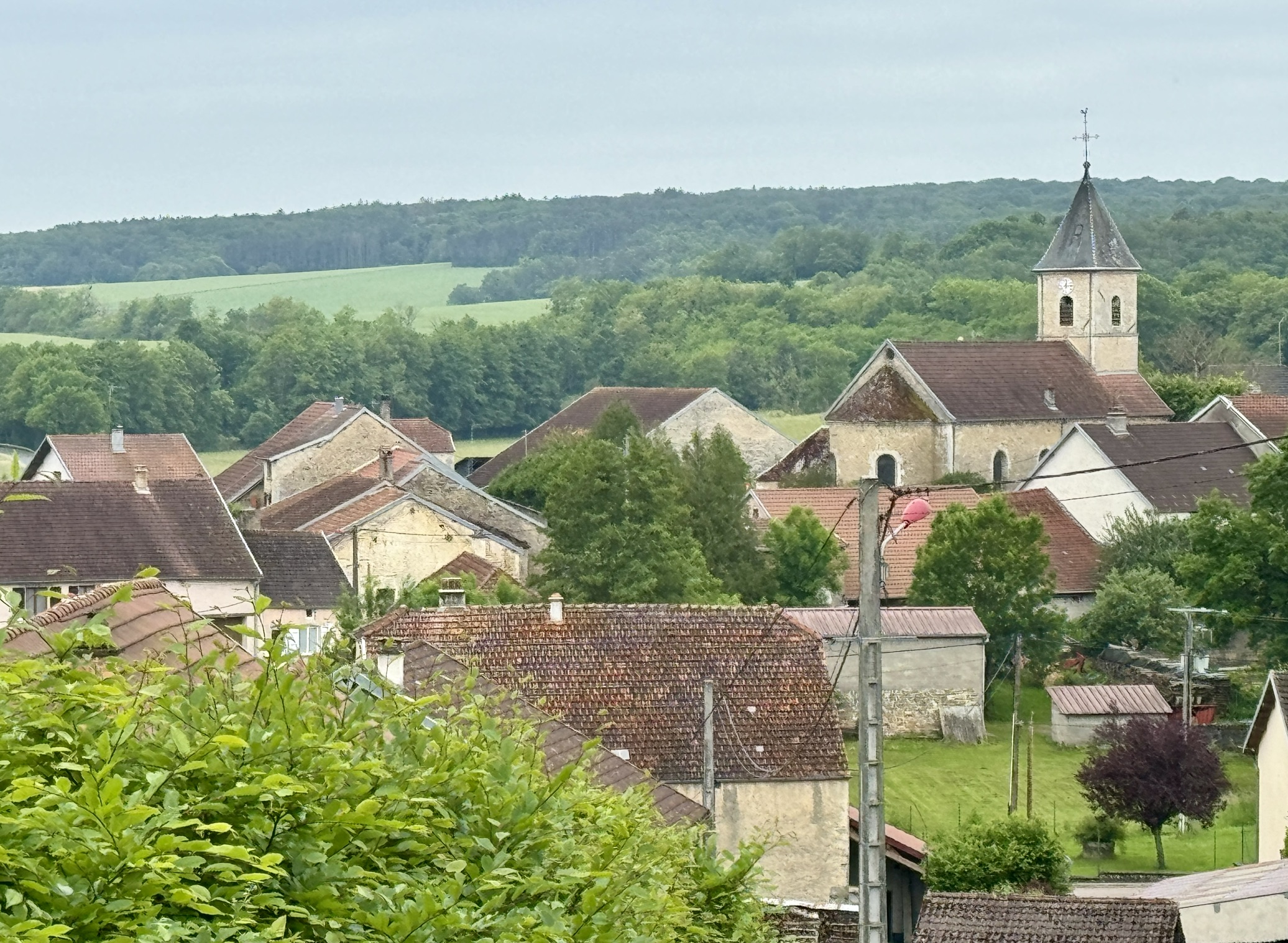
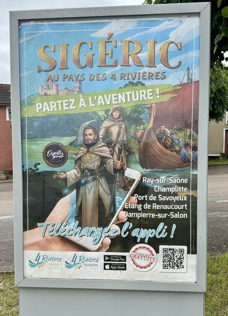
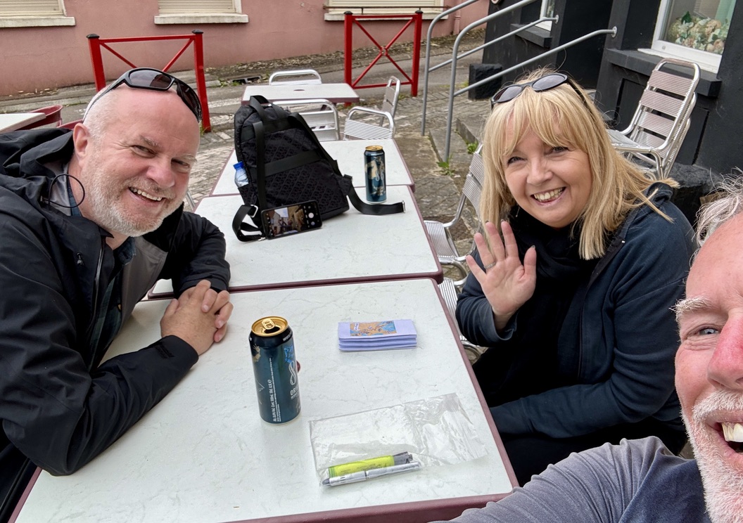
It was time for another twofer (two standard stages in one day). My destination town was the headquarters of the French Federation of the Via Francigena, so there were more portrayals of the “little yellow man” than I have seen anywhere else. Champlitte even has an entertainment center to educate French-speaking people about Archbishop Sigeric (he of the Historic Route). Highlights of the day came after my arrival: meeting Wim & Simone from the Netherlands and Paolo & Una from the UK (both with ties of friendship to the San Francisco Bay Area). The former are tourists collecting information about future adventures and the latter two are cycling the VF and average close to four of my stages per day.
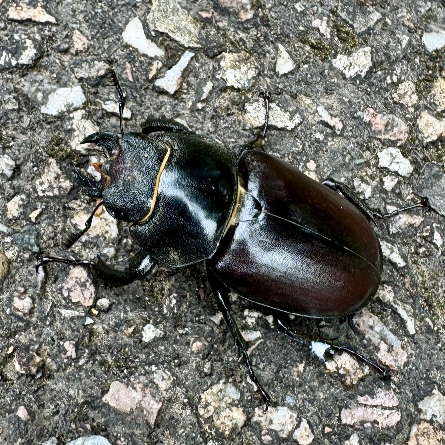
Another well-traveled species. I have seen Stag Beetles (or maybe their cousins) all over the planet!
Public Art
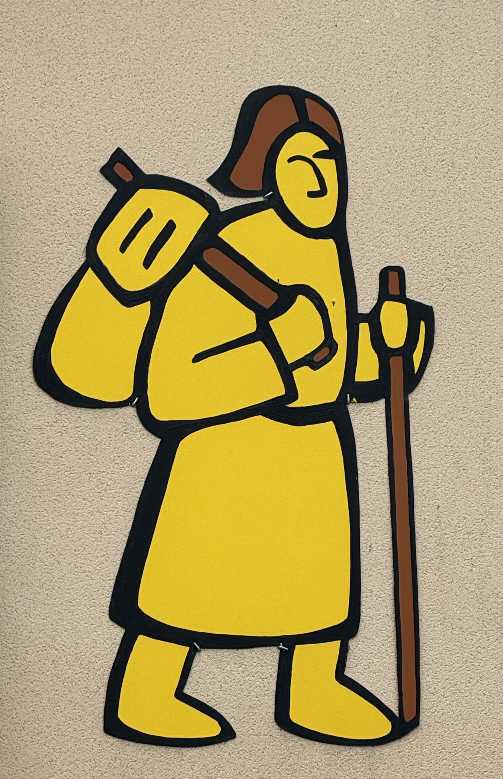
Champlitte, home of the French Federation of the Via Francigena, has more indications of the VF than I’ve seen so far on this path, including the little yellow man.

I didn’t have time to catch this VF tourist attraction on this visit, but maybe next time.

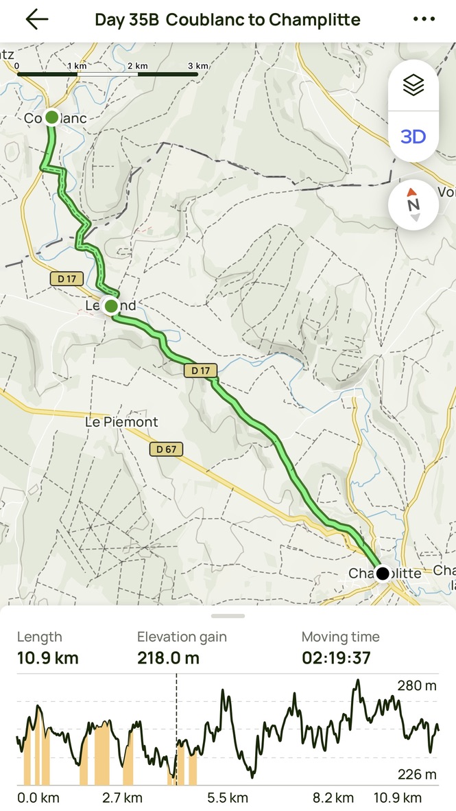
Day 35 AllTrails Stats
Distance: 28.2 km / 17.5 miles
Elevation Gain: 340 m / 1,115 feet
Steps: 41,559
Relive: https://www.relive.cc/view/vYvrQpZEwLq
Accommodation: Hotel du Donjon, Champlitte
Days 1-35 AllTrails Cumulative Stats
Distance: 787.7 km / 489.4 miles
Average Daily Distance: 22.5 km / 14.0 miles
Elevation Gain: 14,297 m / 46,906 feet
Steps: 1,234,130
This is amazing! So interesting
Thanks Chris,
for these report, not only because we shared some time on the way to and in Langres.
Your notes and fotos brought back the memory of a wonderful time. Walks and talks made me remember these days very often – and still will.
Seeing the fotos again of bridges and churches, landscapes and paths encourage me to go my sketch book and start painting.
But there are other projects (also painting and a small exhibition) to focus on.
Thanks again for your friendship
Jürgen