

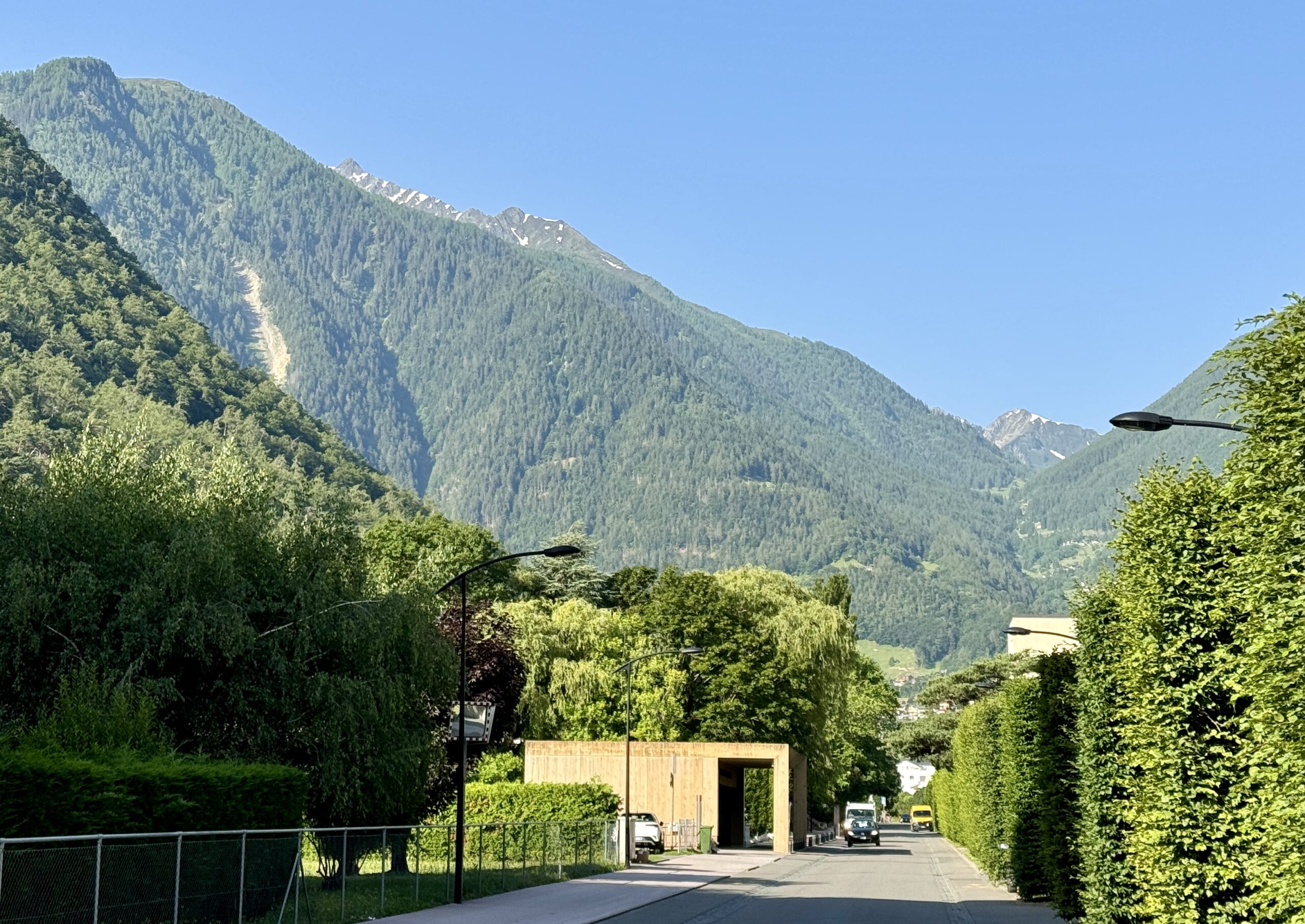
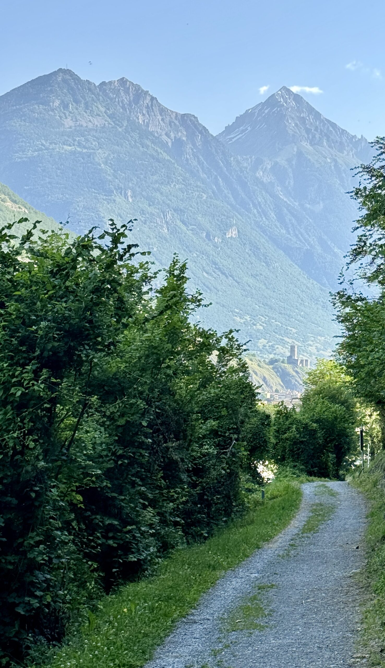
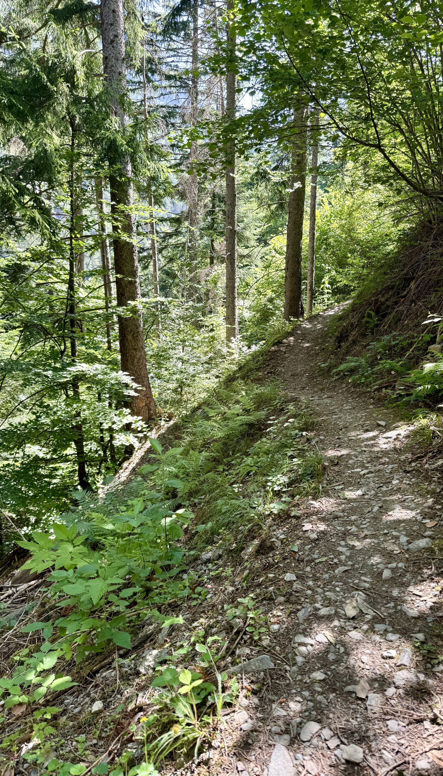
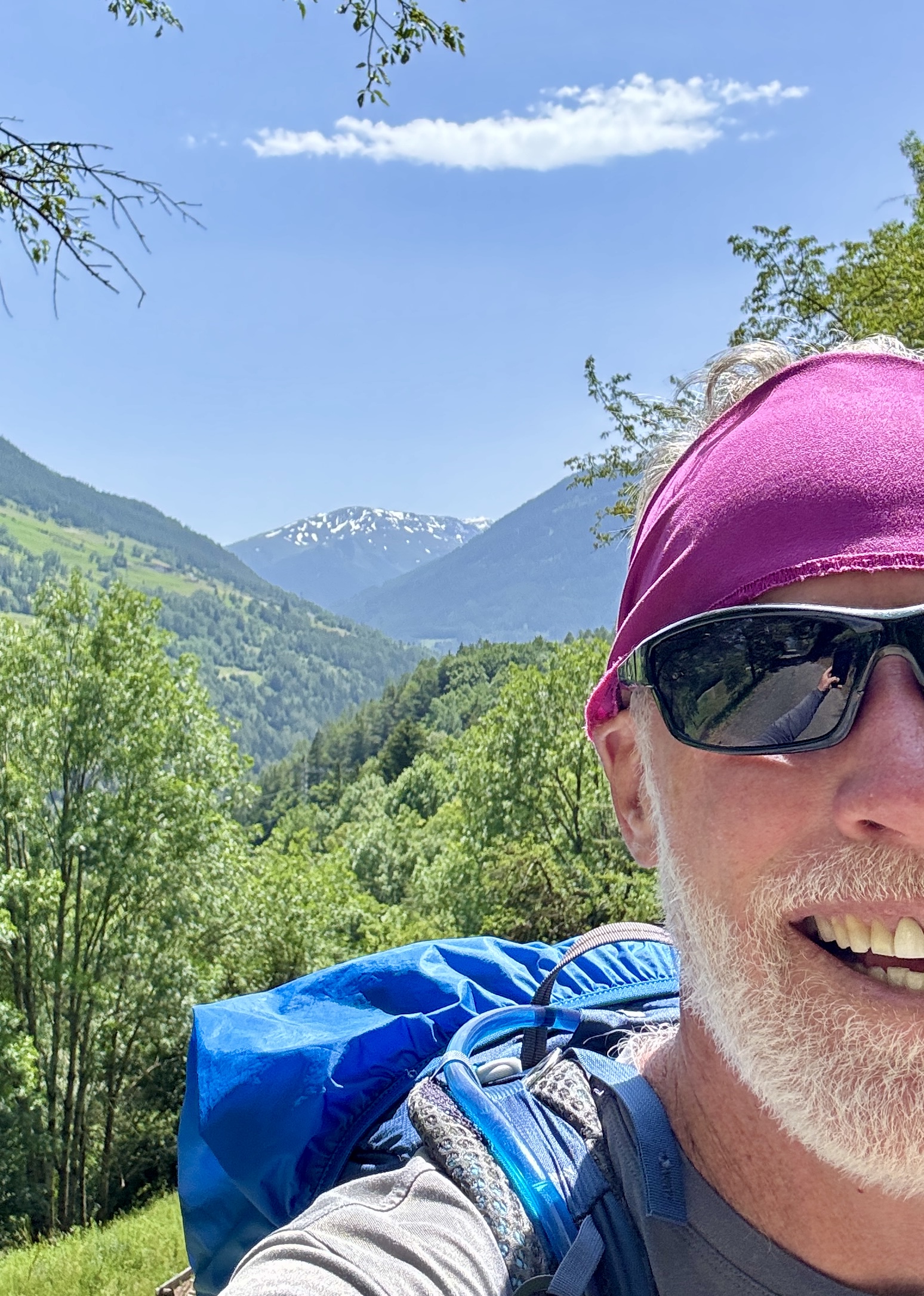
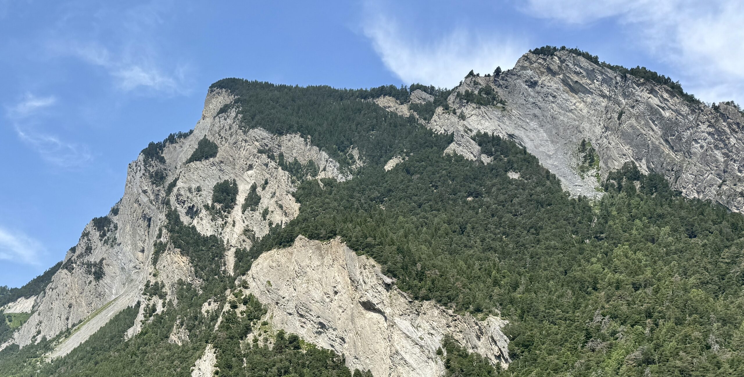
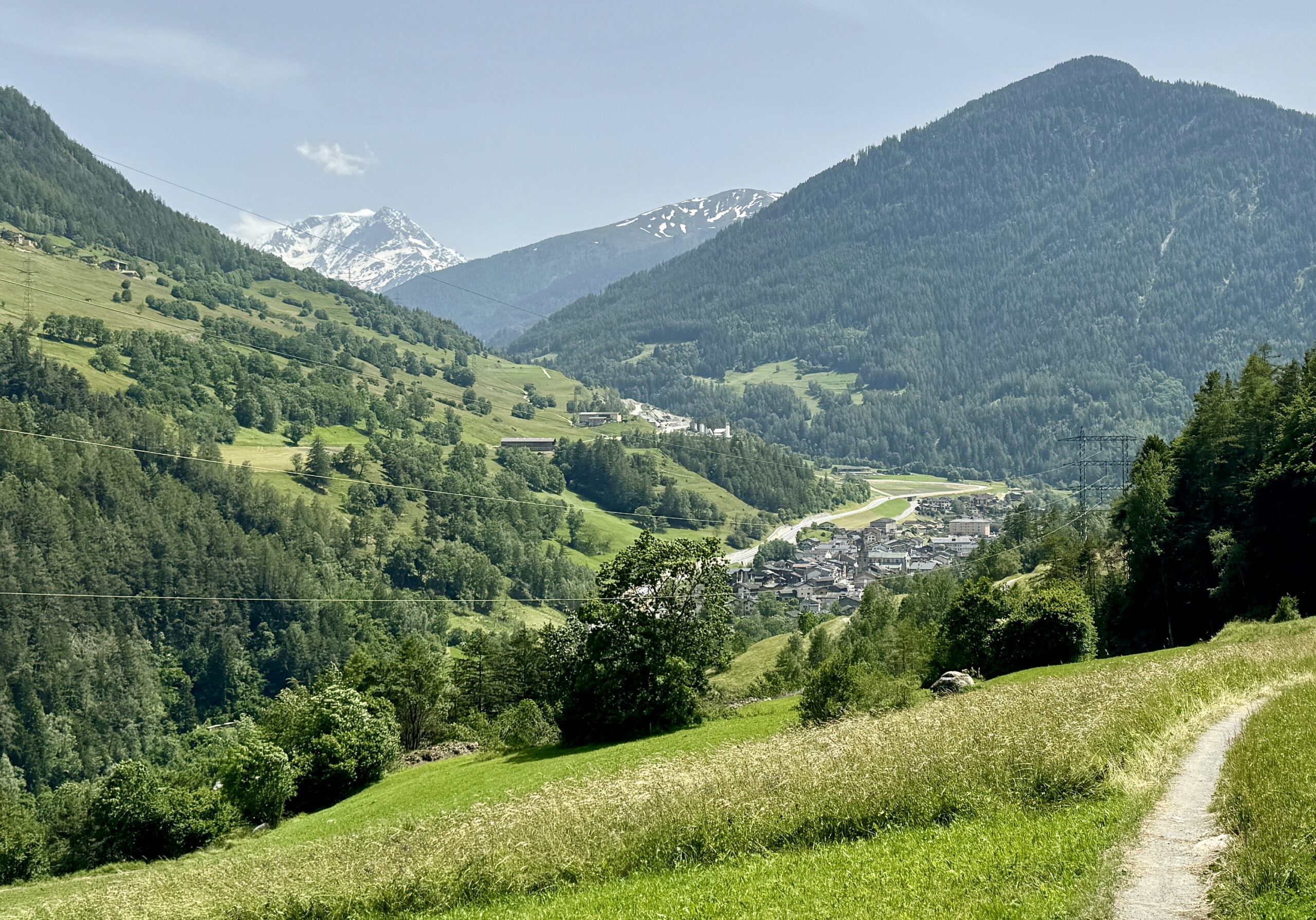
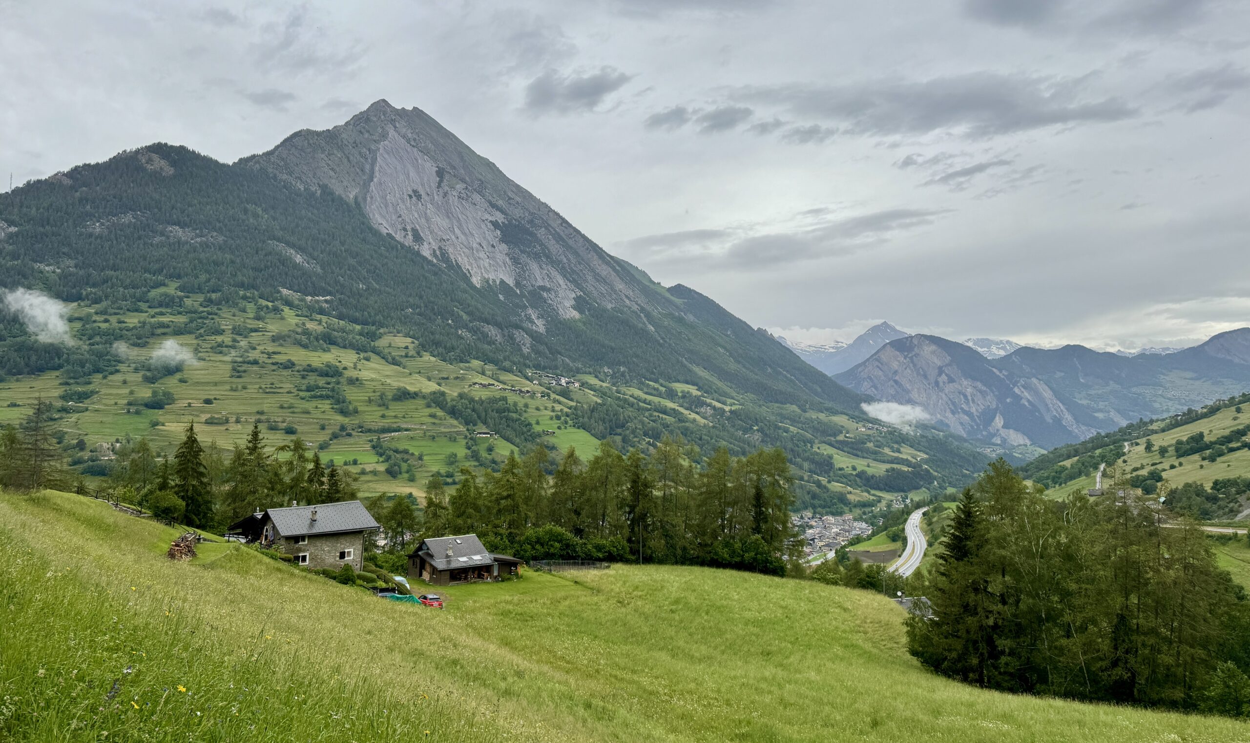
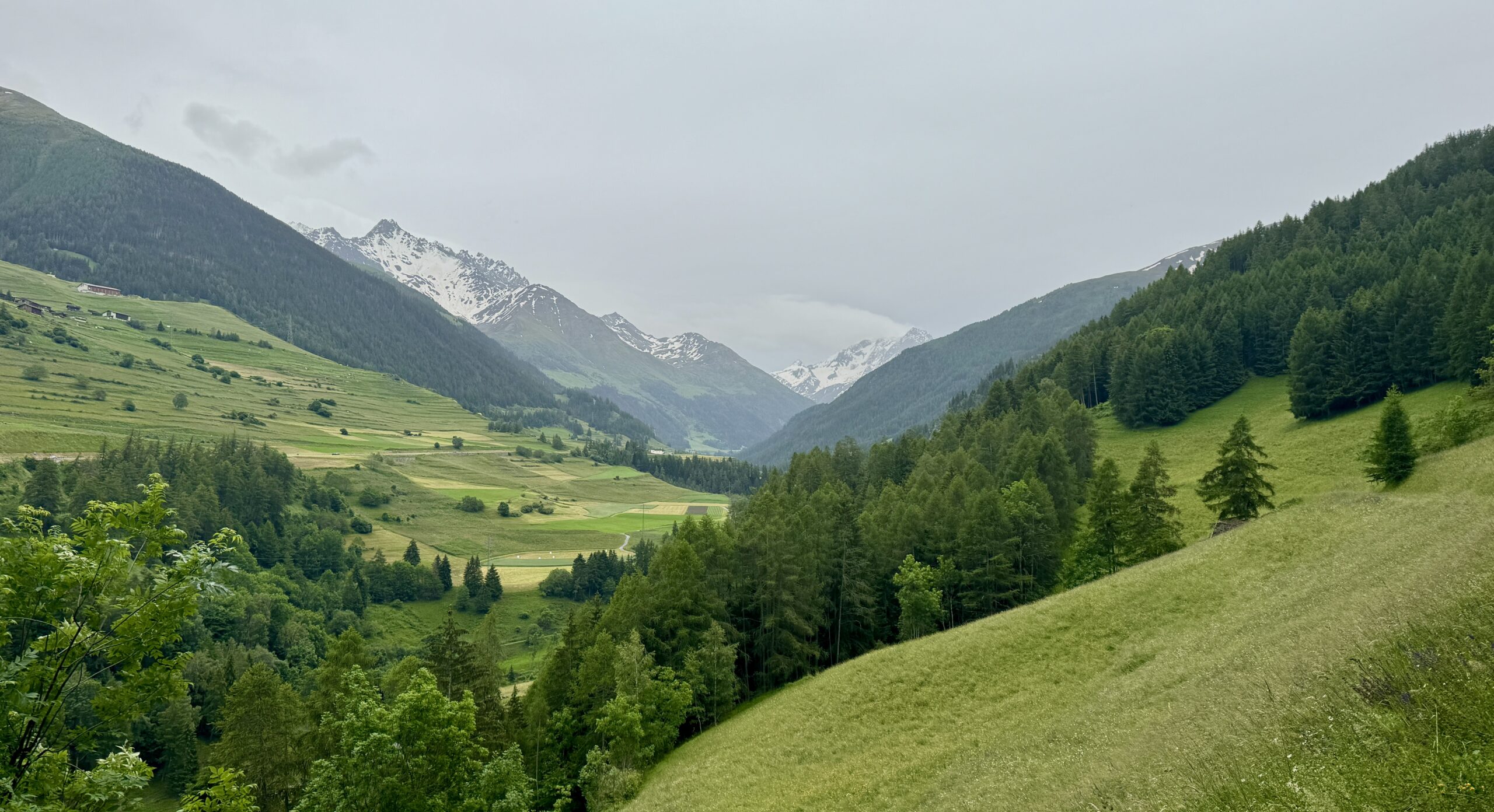
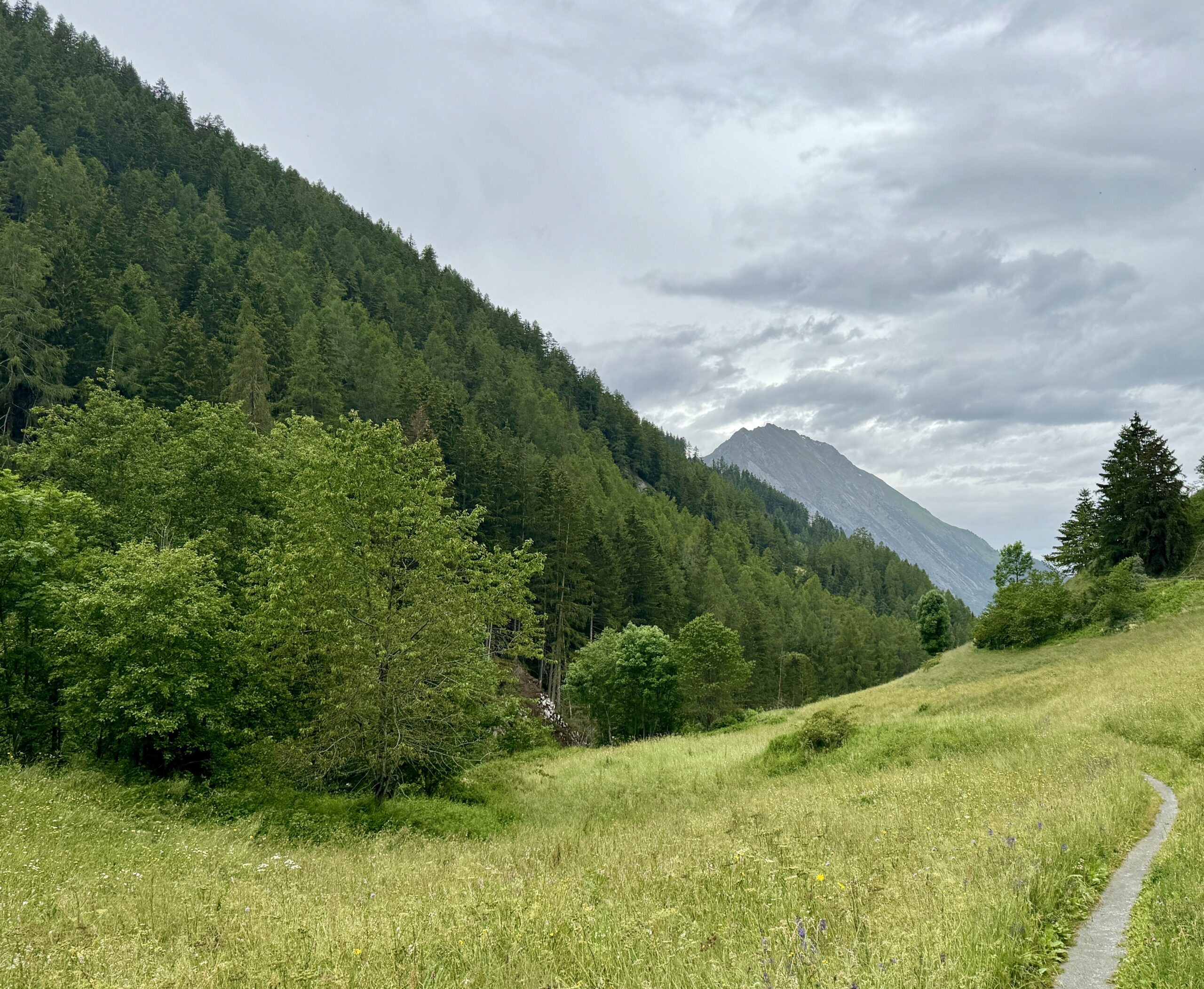
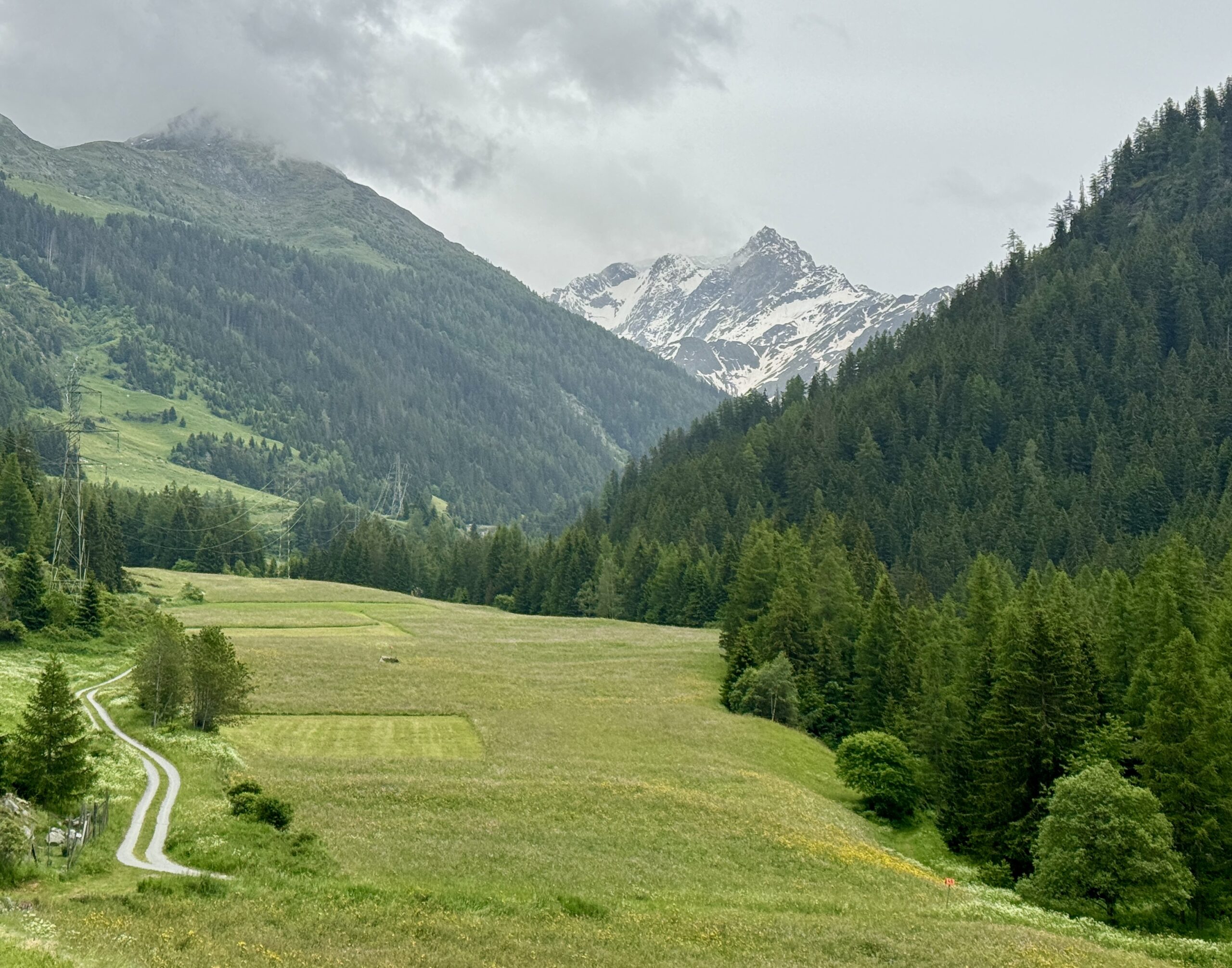
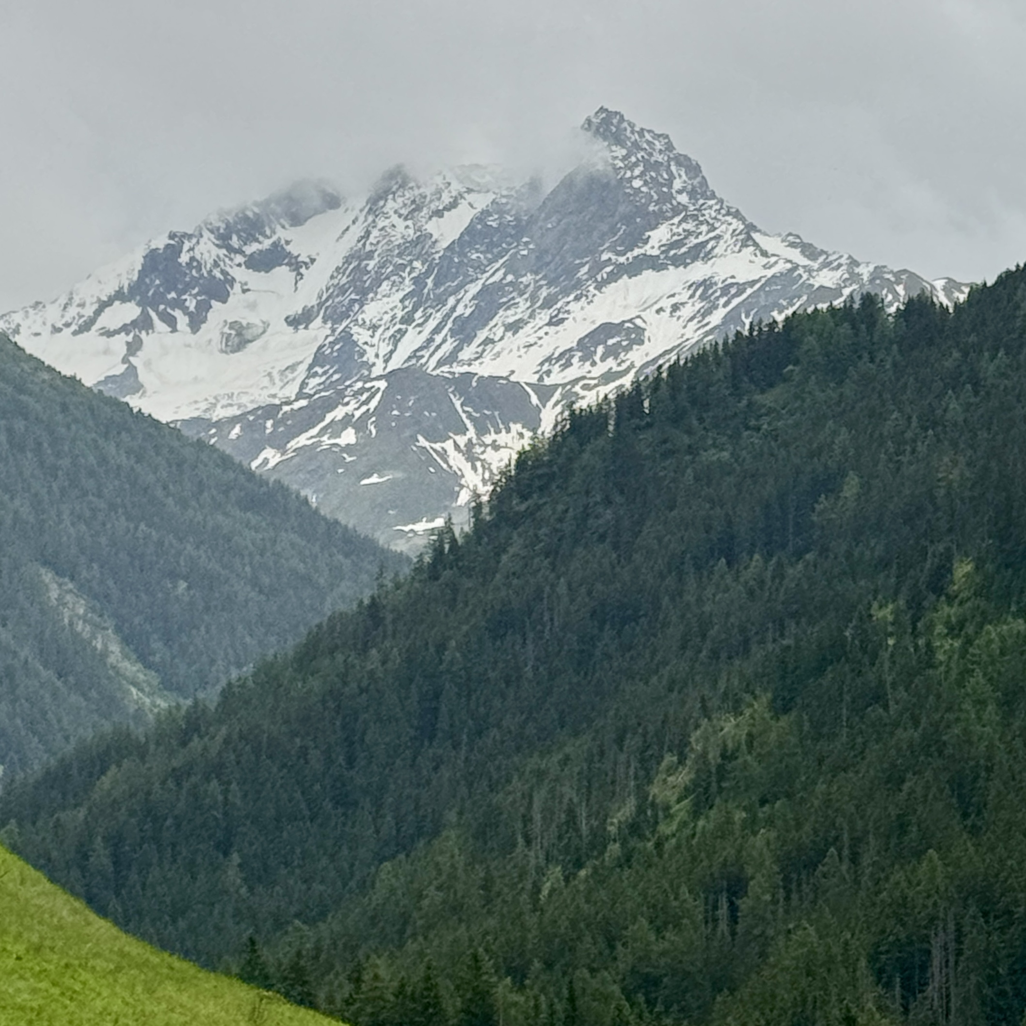
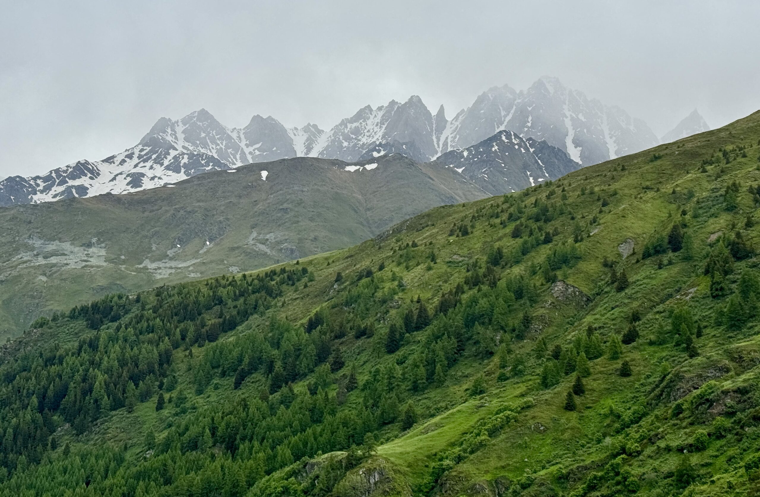
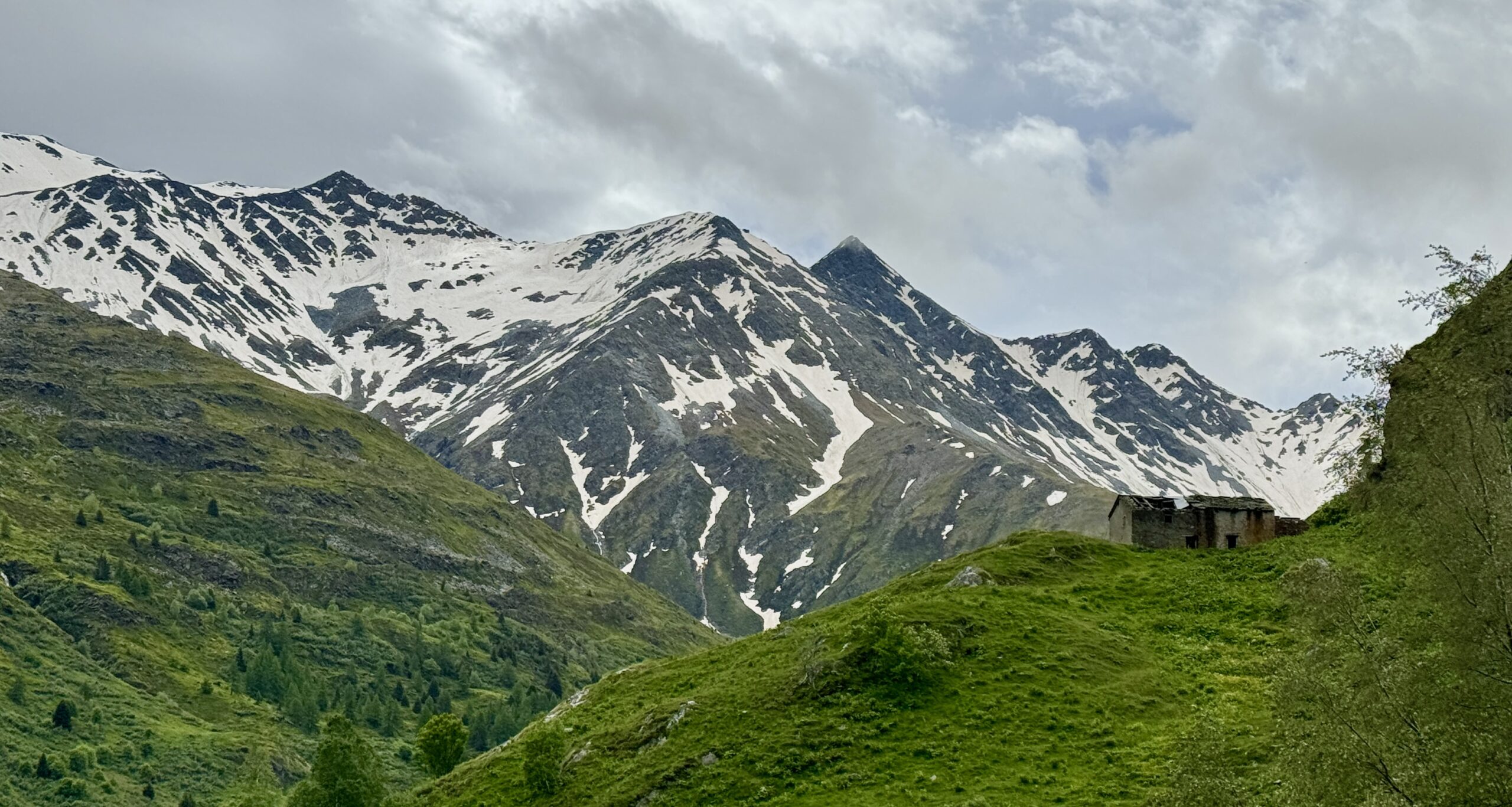
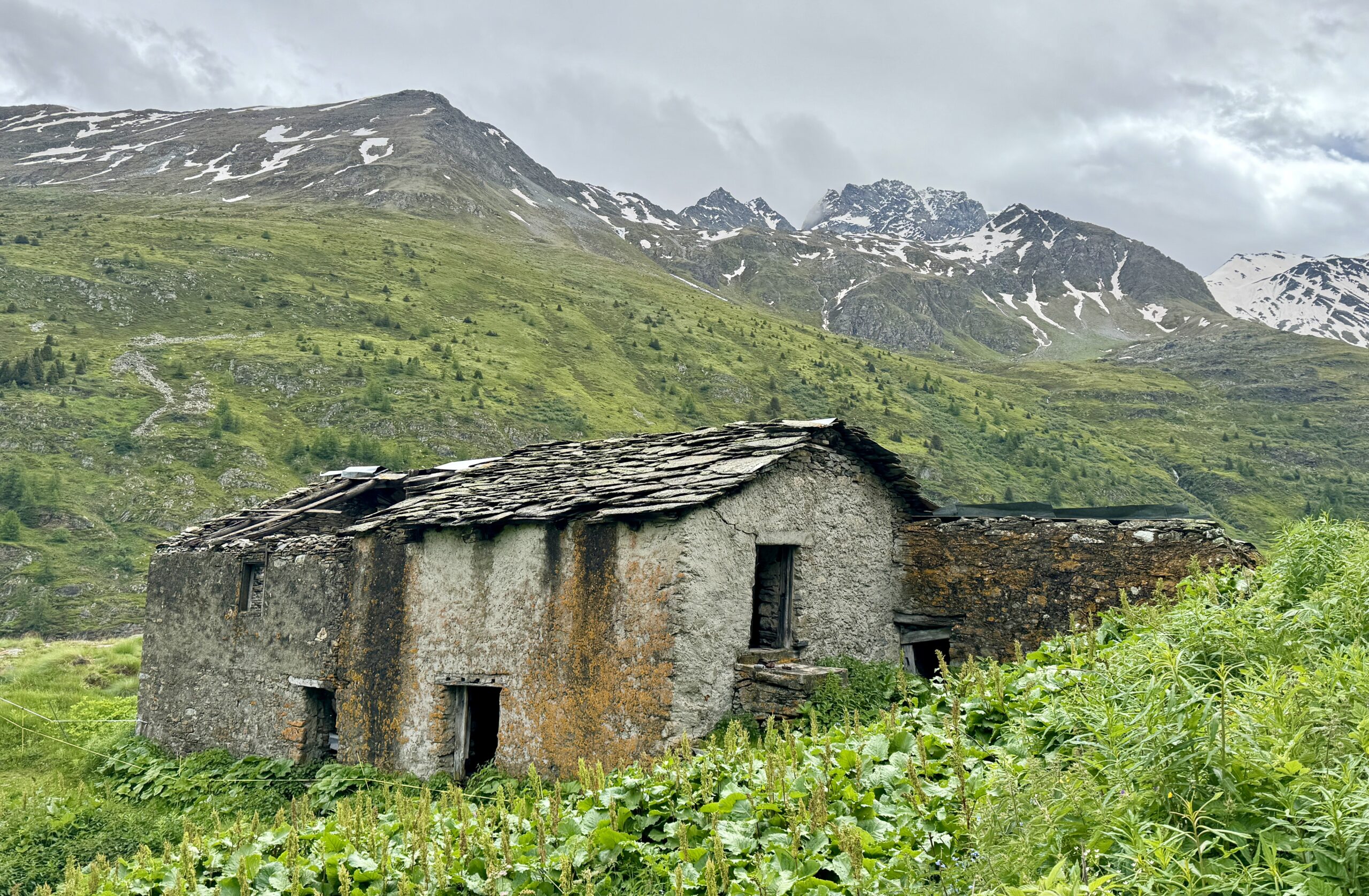
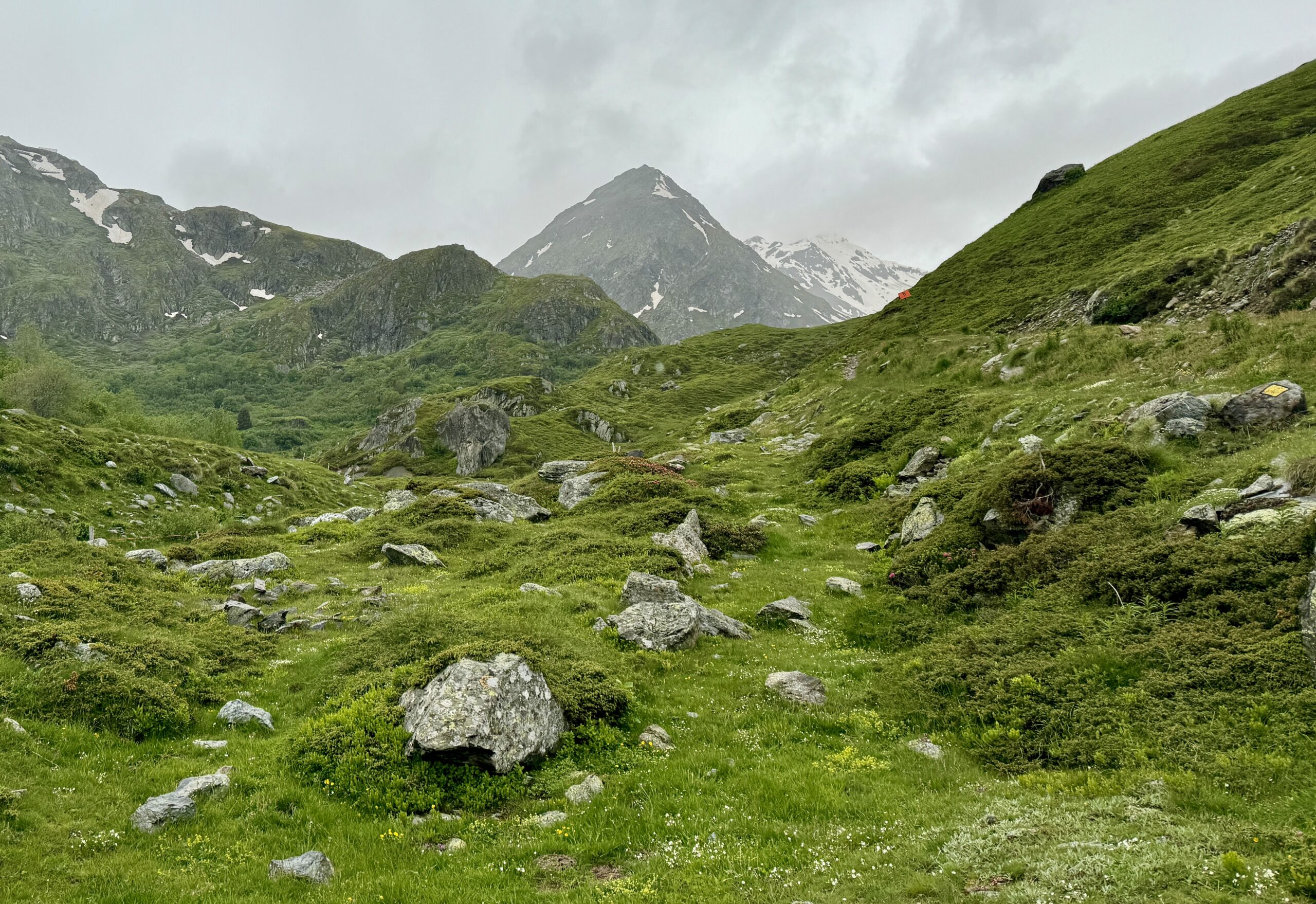
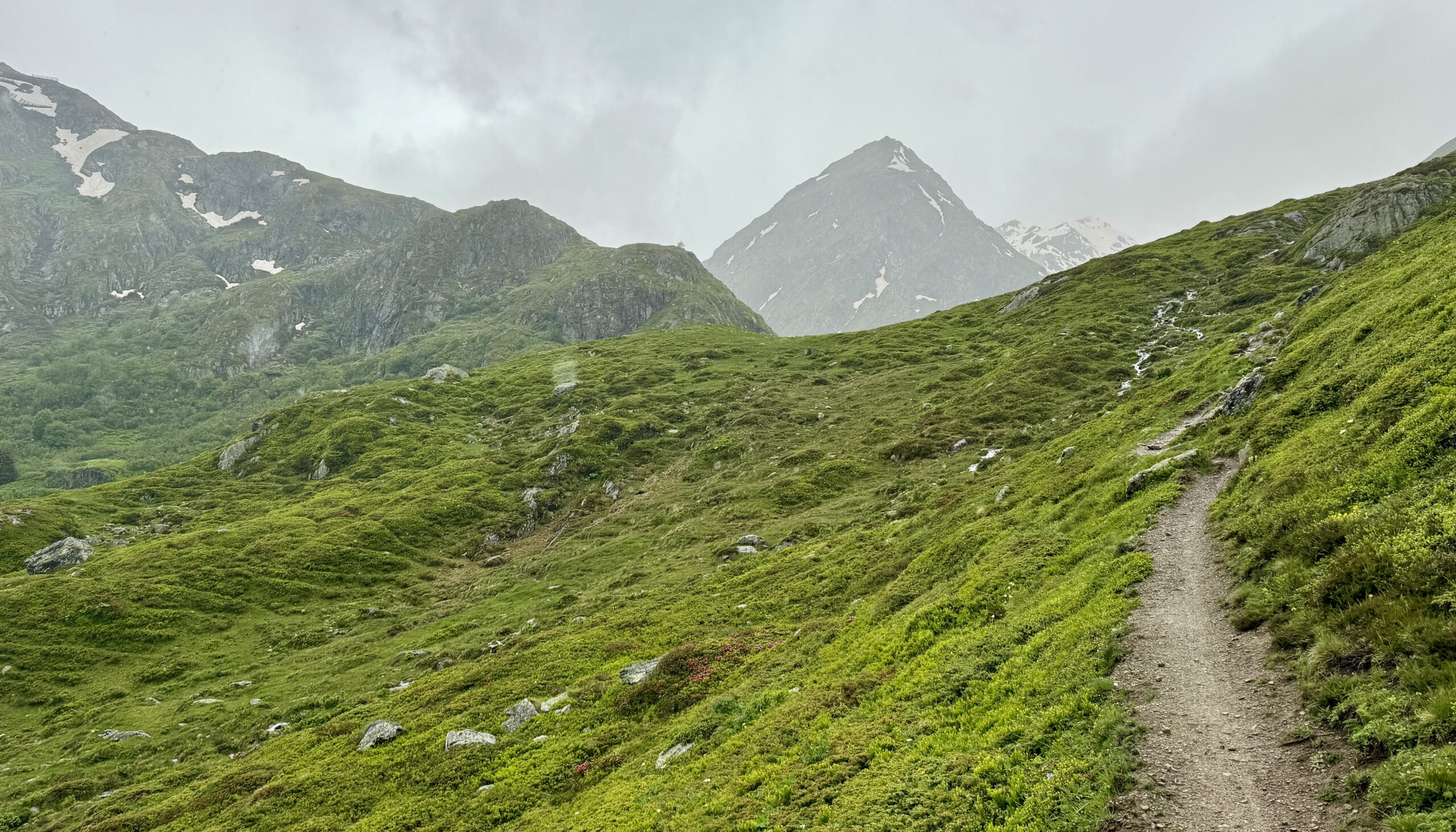
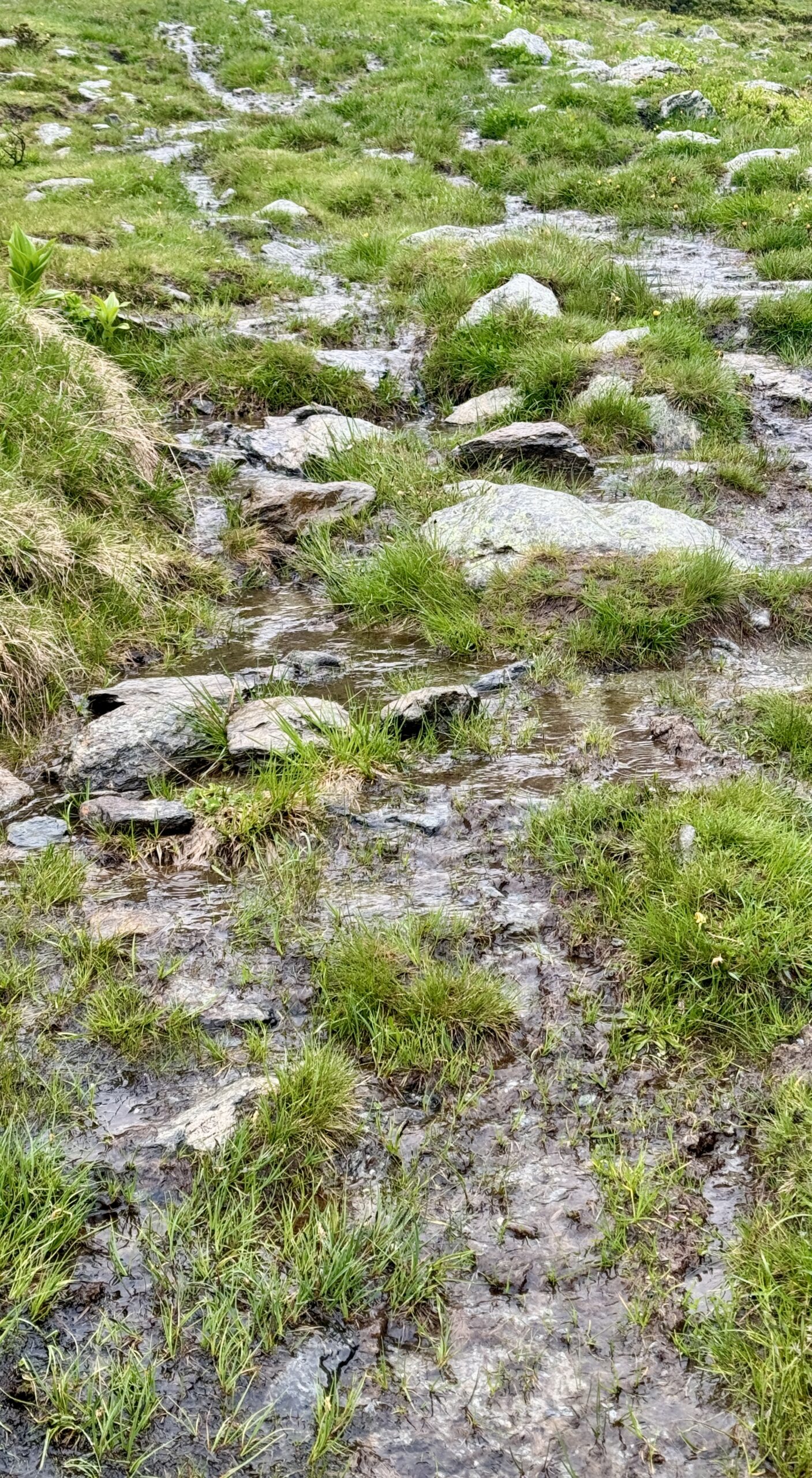
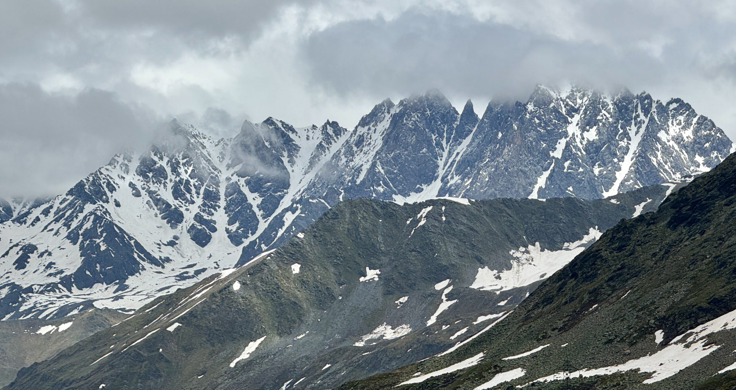
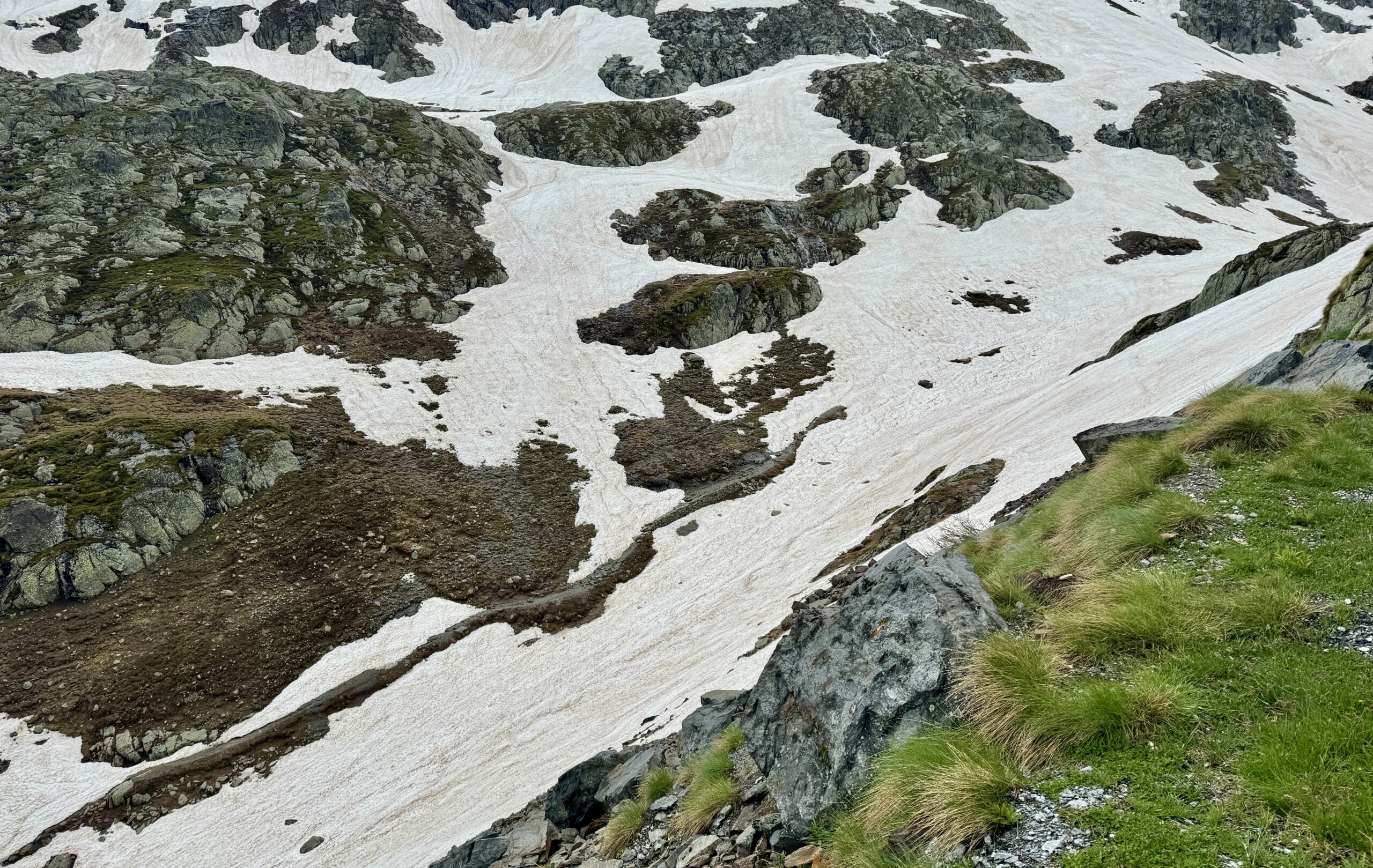
There’s no doubt about it now: I’m in the high mountains! The views are a dead giveaway, as well as my slower-than-normal pace and my need to catch my breath more often on the trails. The weather reduces the quality of the images, but I think you’ll still get a good idea of what it’s like out here.
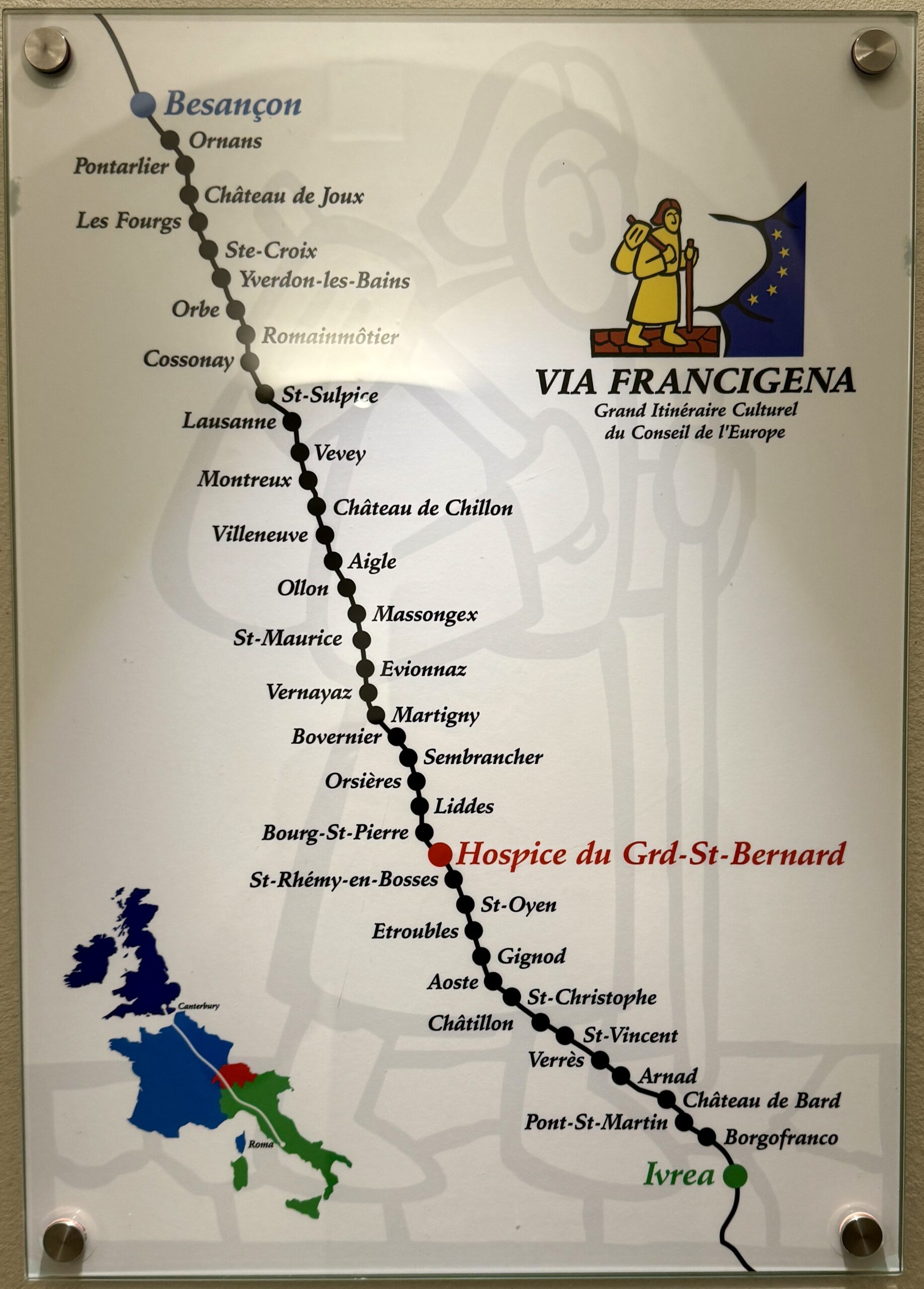
Day 50 Martigny to Orsières
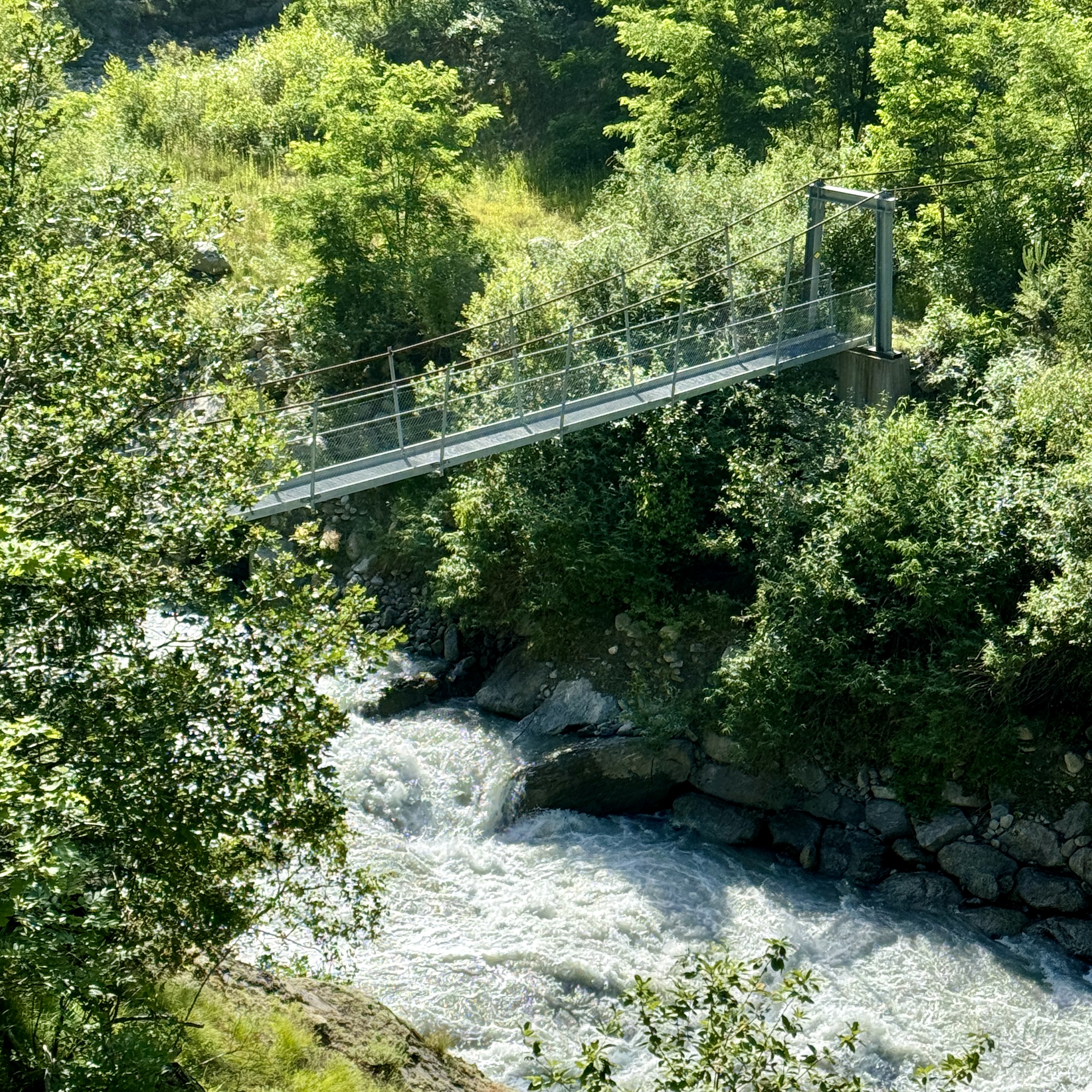
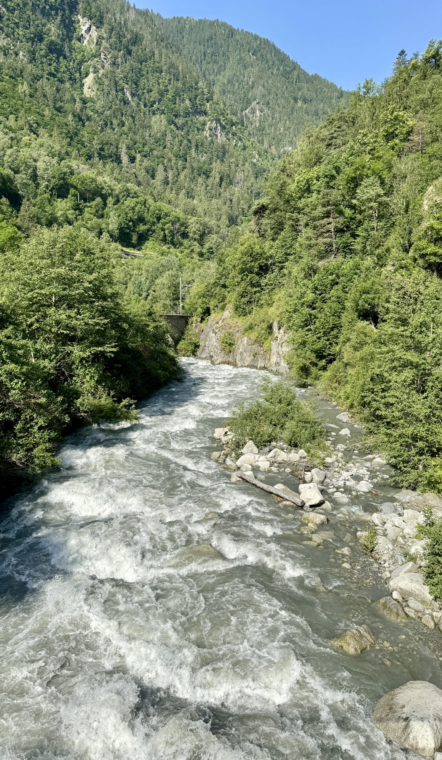
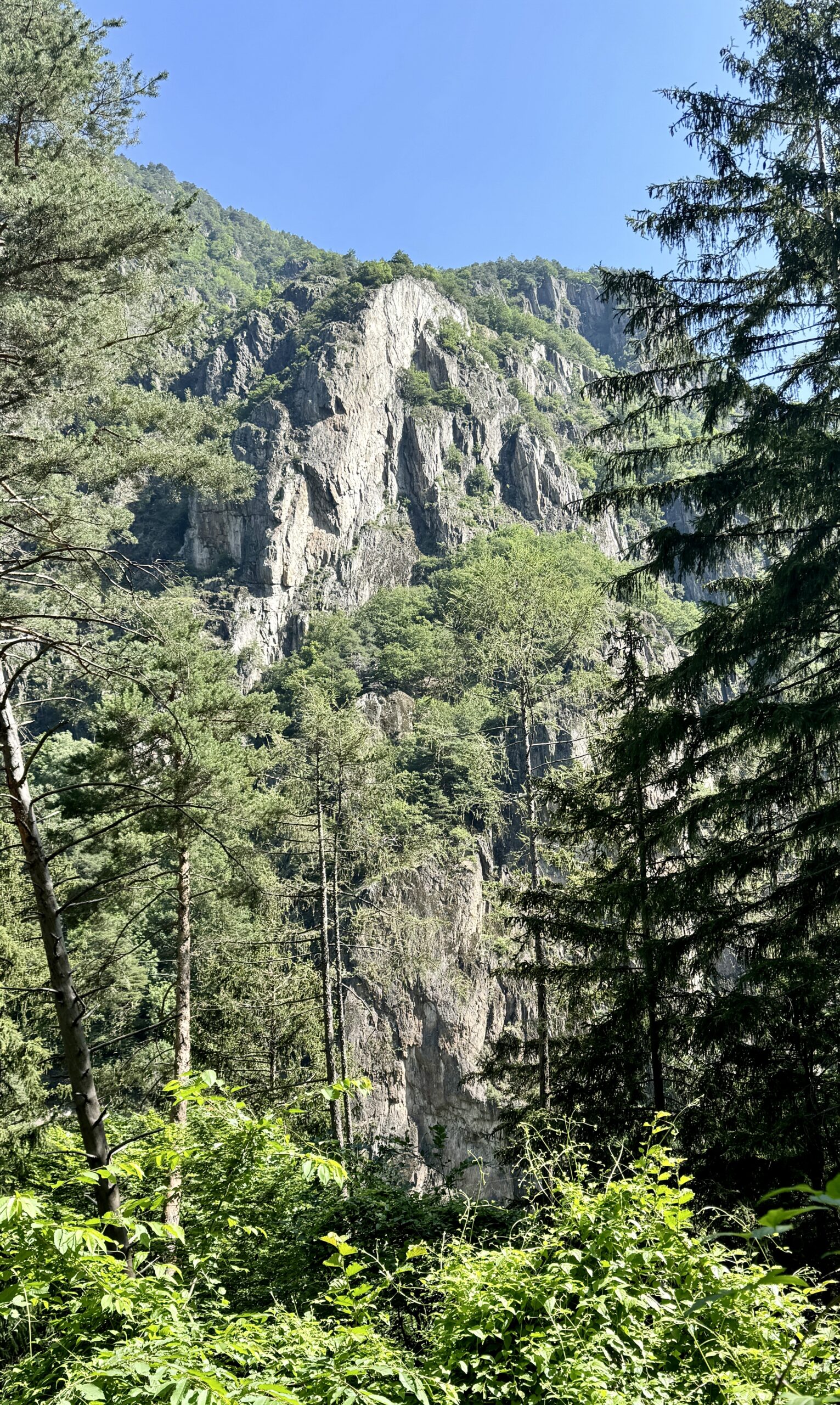
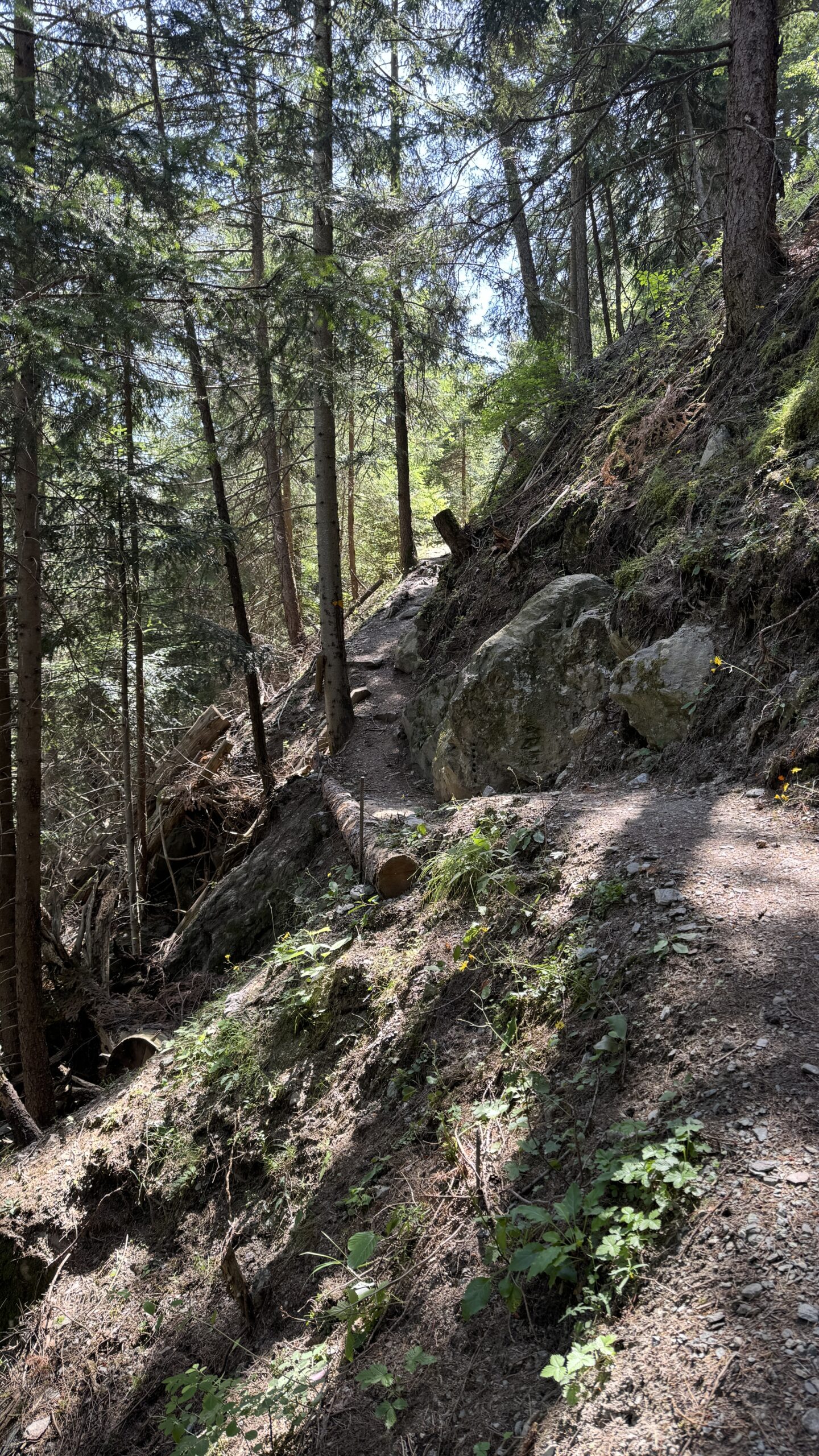
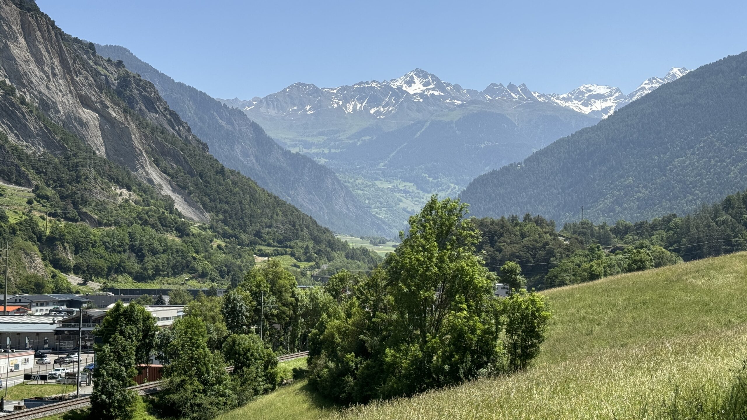
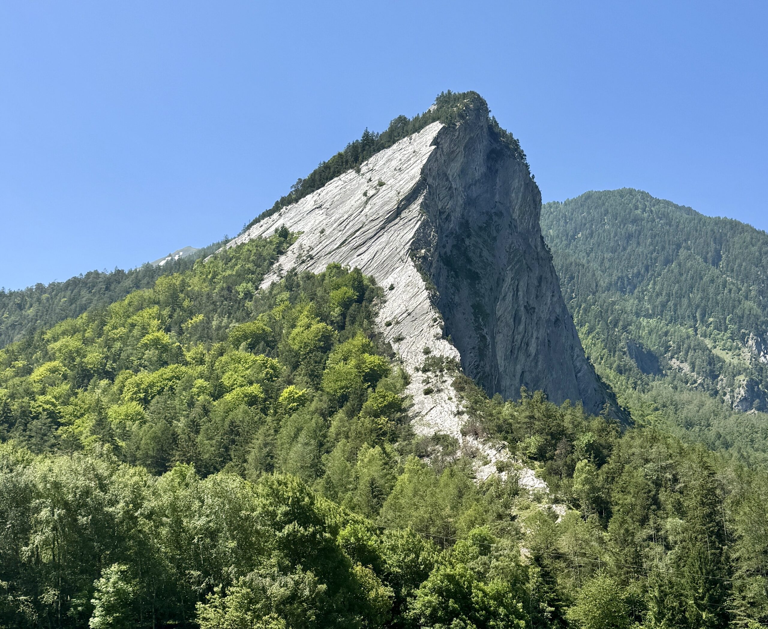
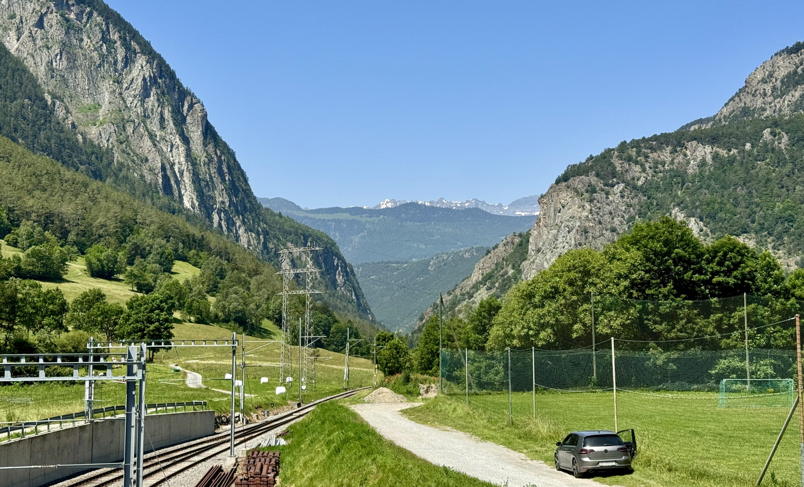
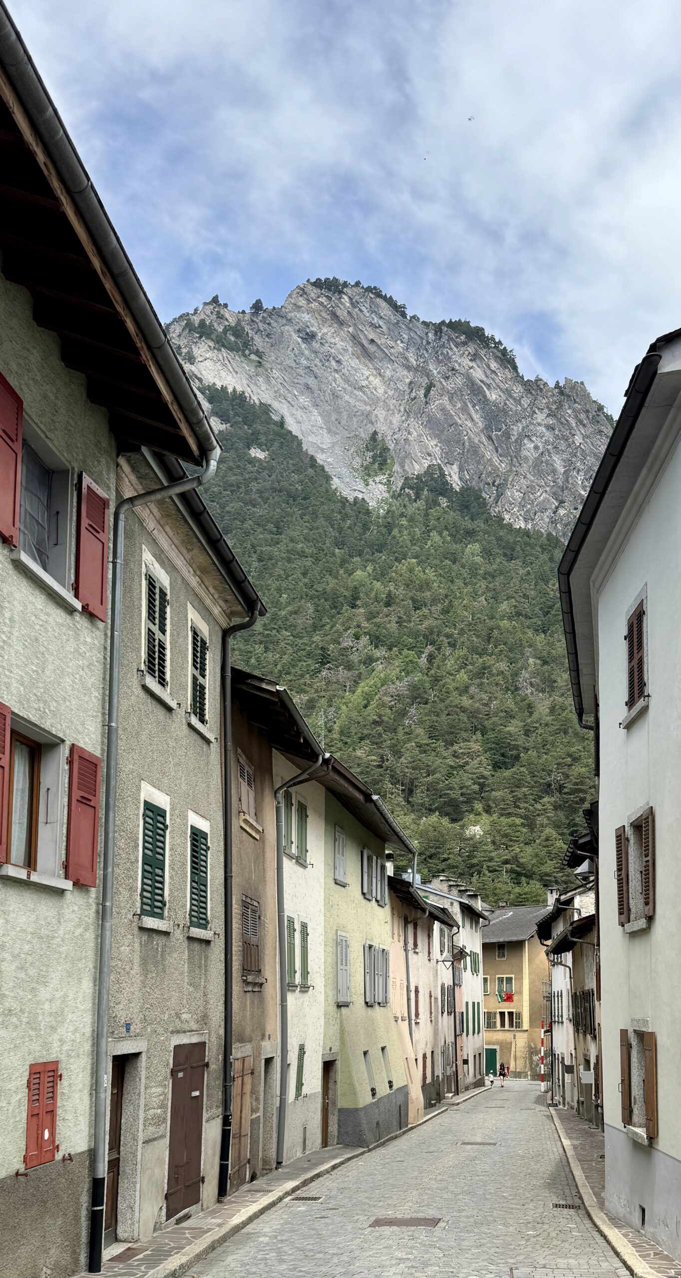
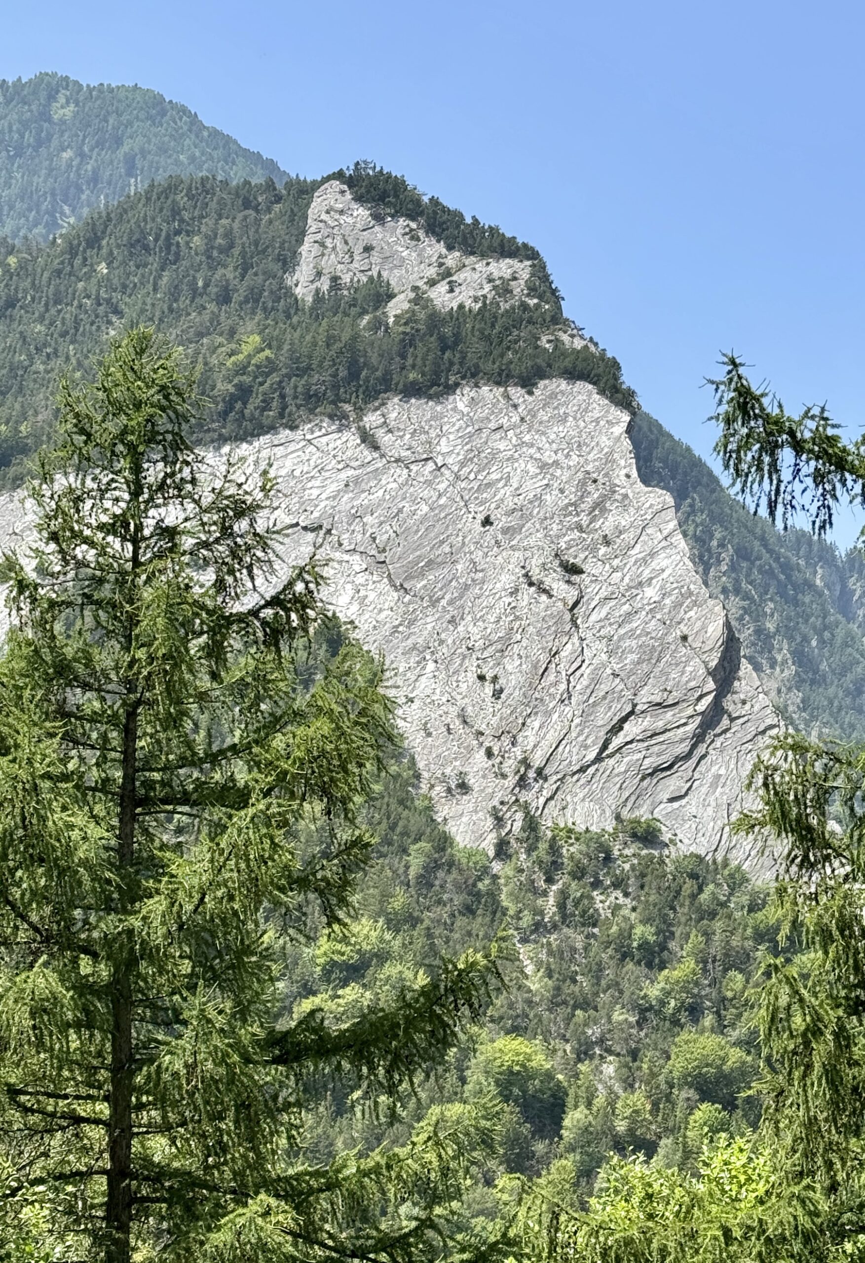
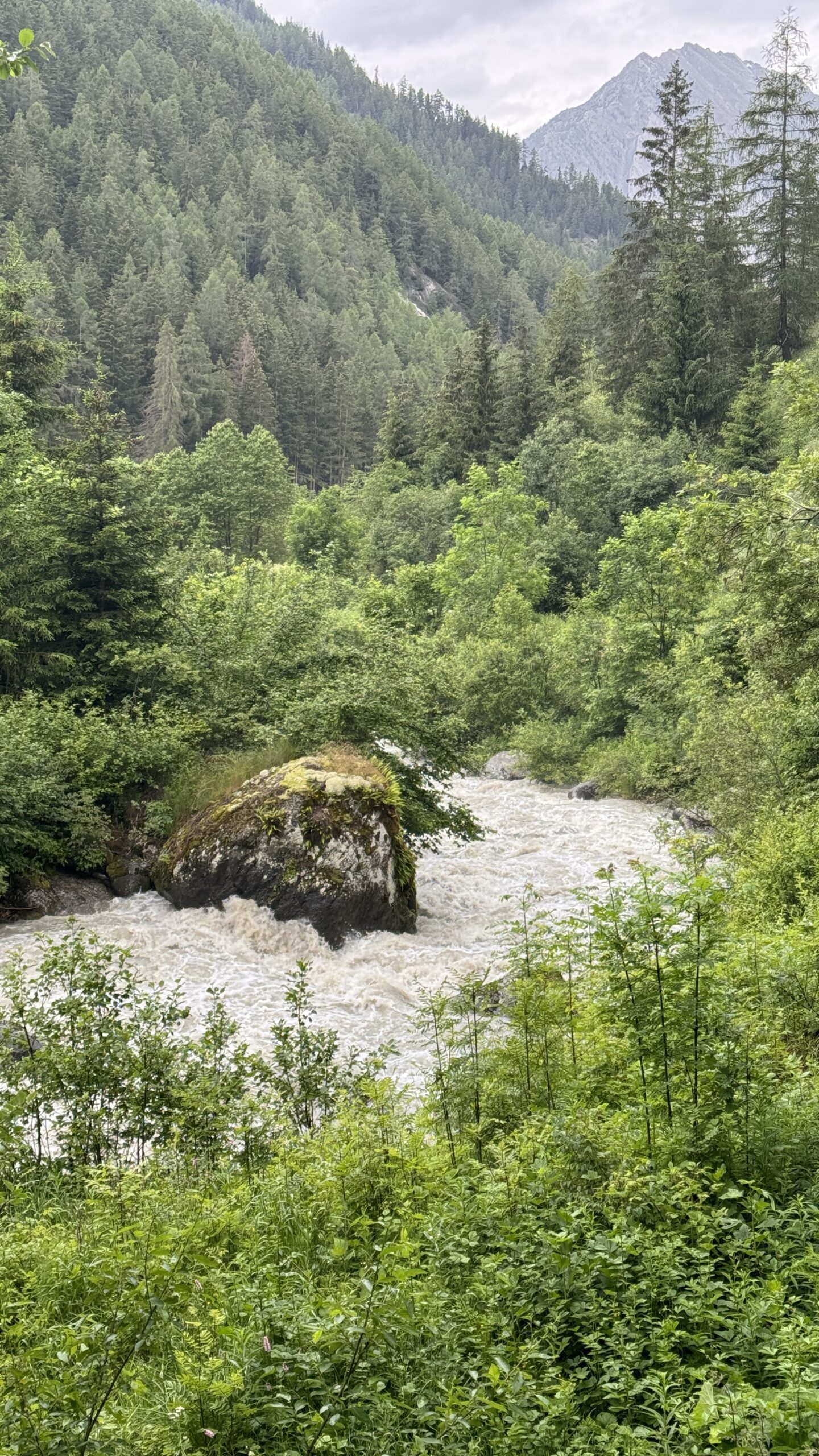
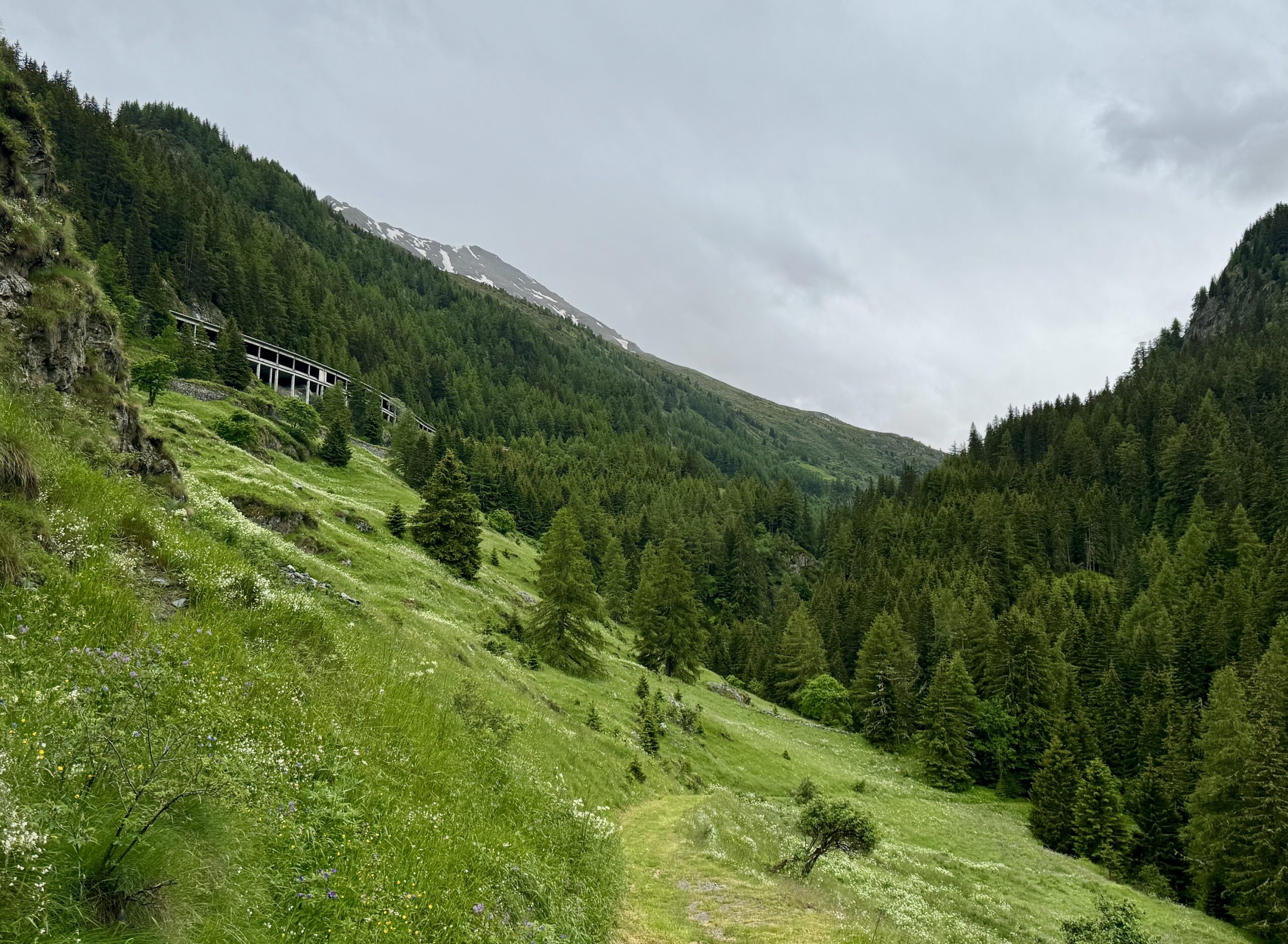
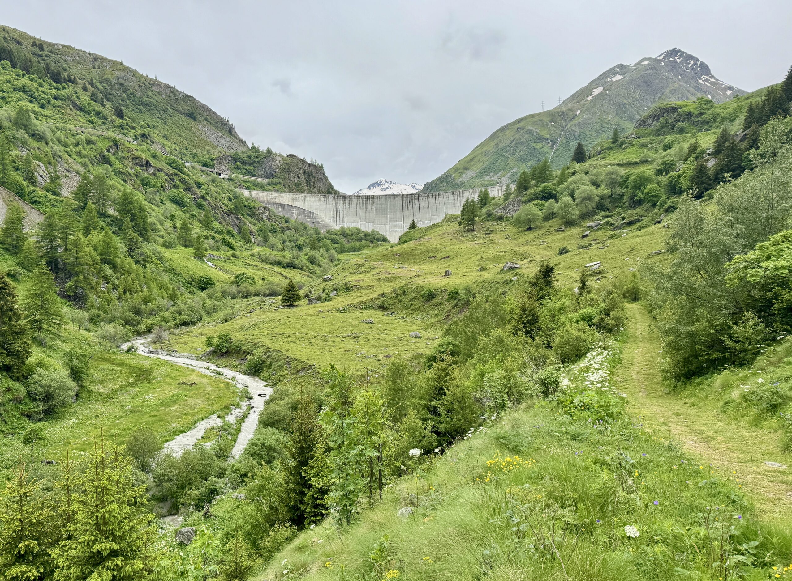
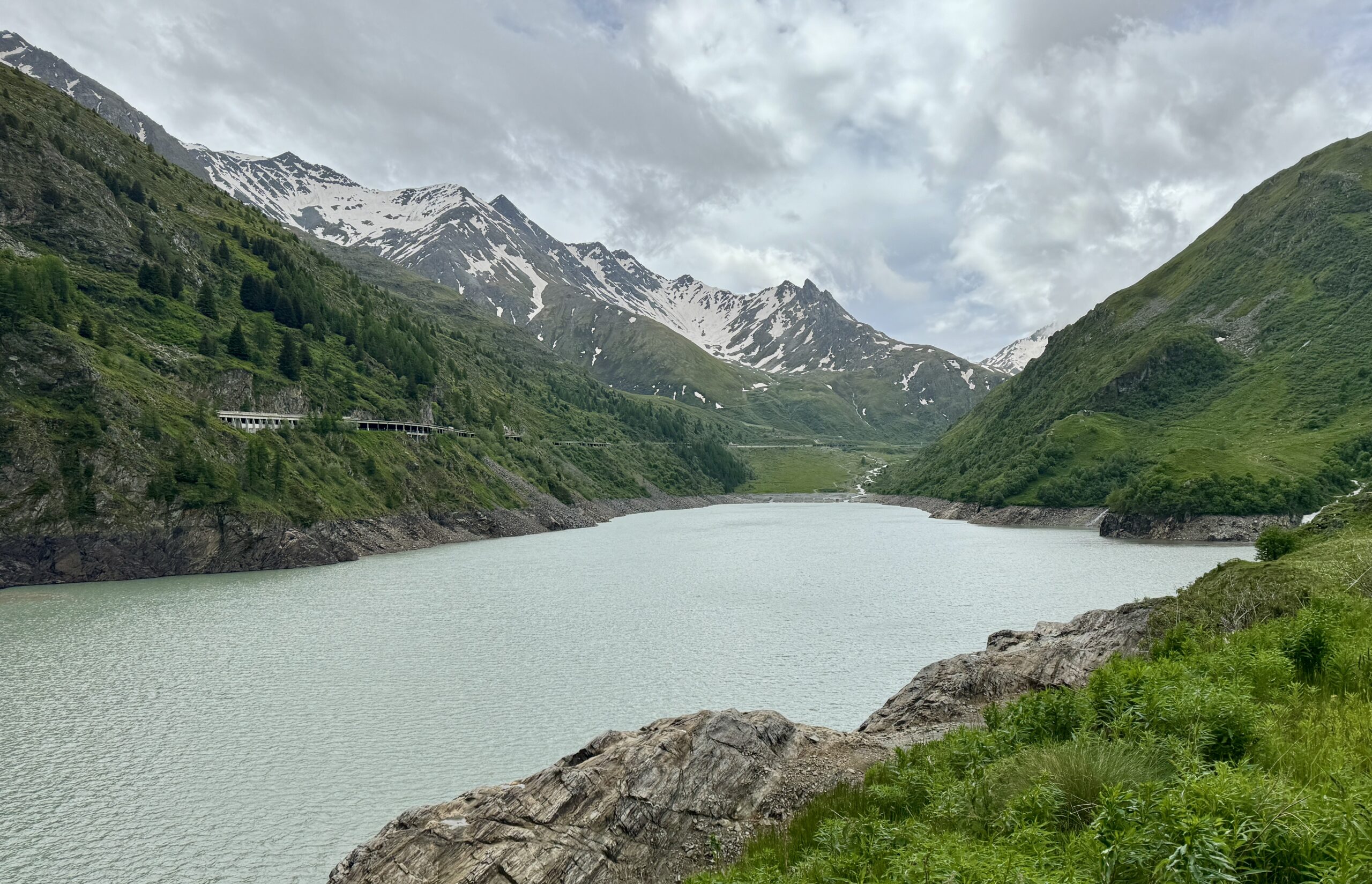
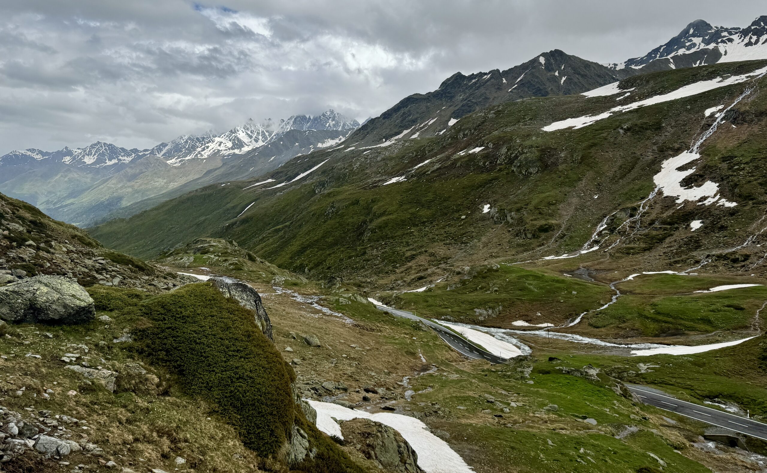
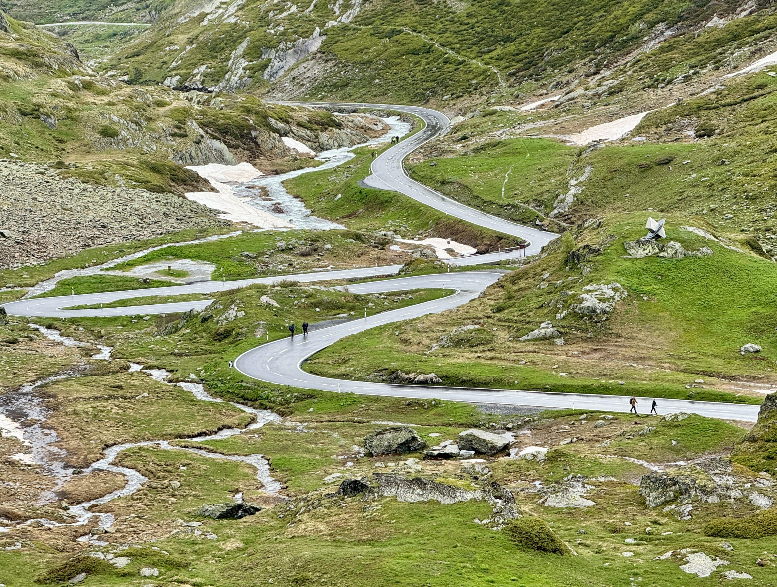
A full day of climbing. Up two canyons surrounded by high granite peaks. The first was a narrow gorge that Sandy Brown’s guidebook called the most difficult stretch of the entire Via Francigena (I wouldn’t refute that – at one point, the trail had been wiped out by a recent landslide down to the river, but an alternate has been developed). The second canyon was much wider: glacier-formed. It’s good that I like to climb, because I have more of it to come in the next two stages.
My only concern tonight is the lightning storm that arrived this afternoon (per the forecast) and is expected to stick around for the next two days, when I want to reach the high pass to cross into Italy. Stay tuned!
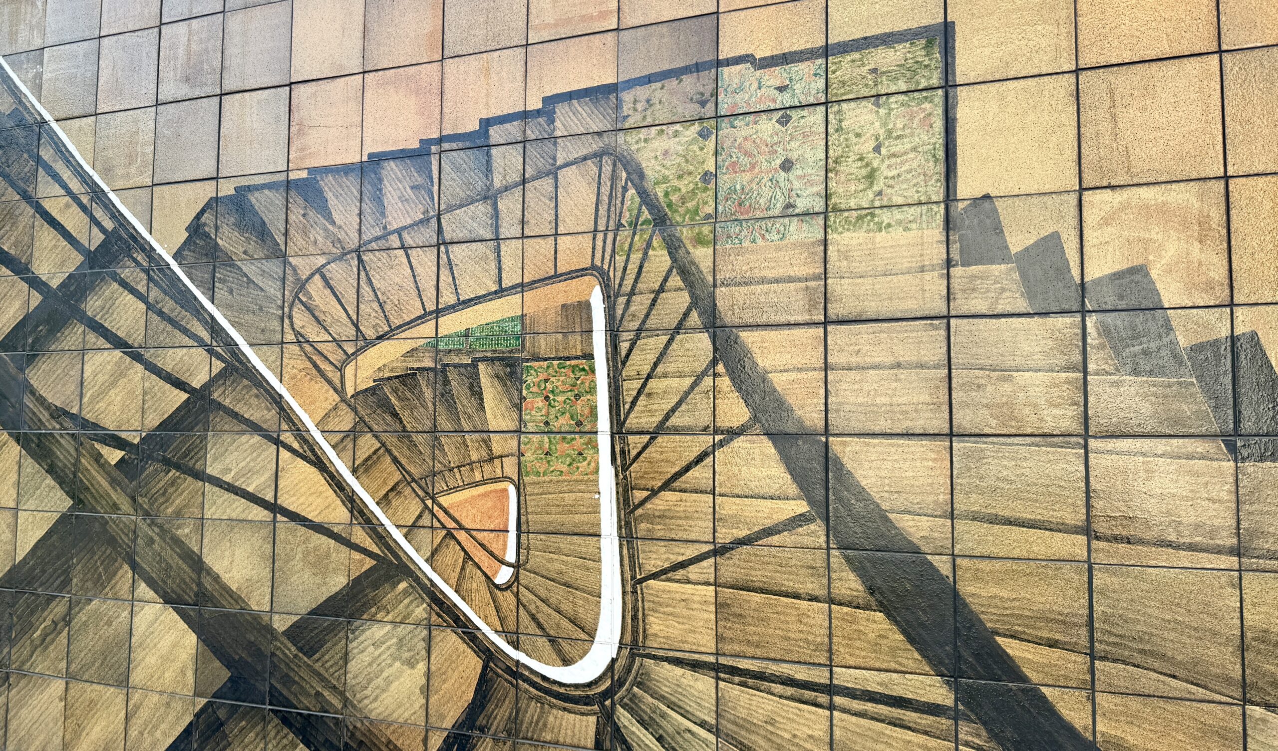
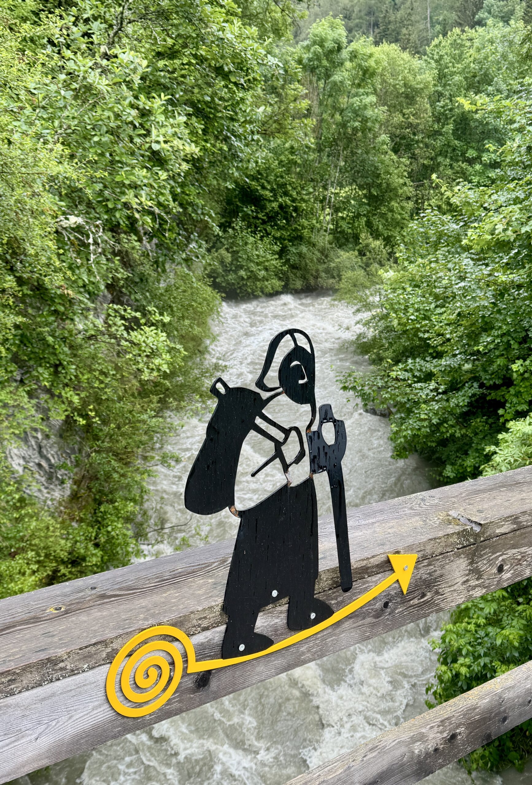
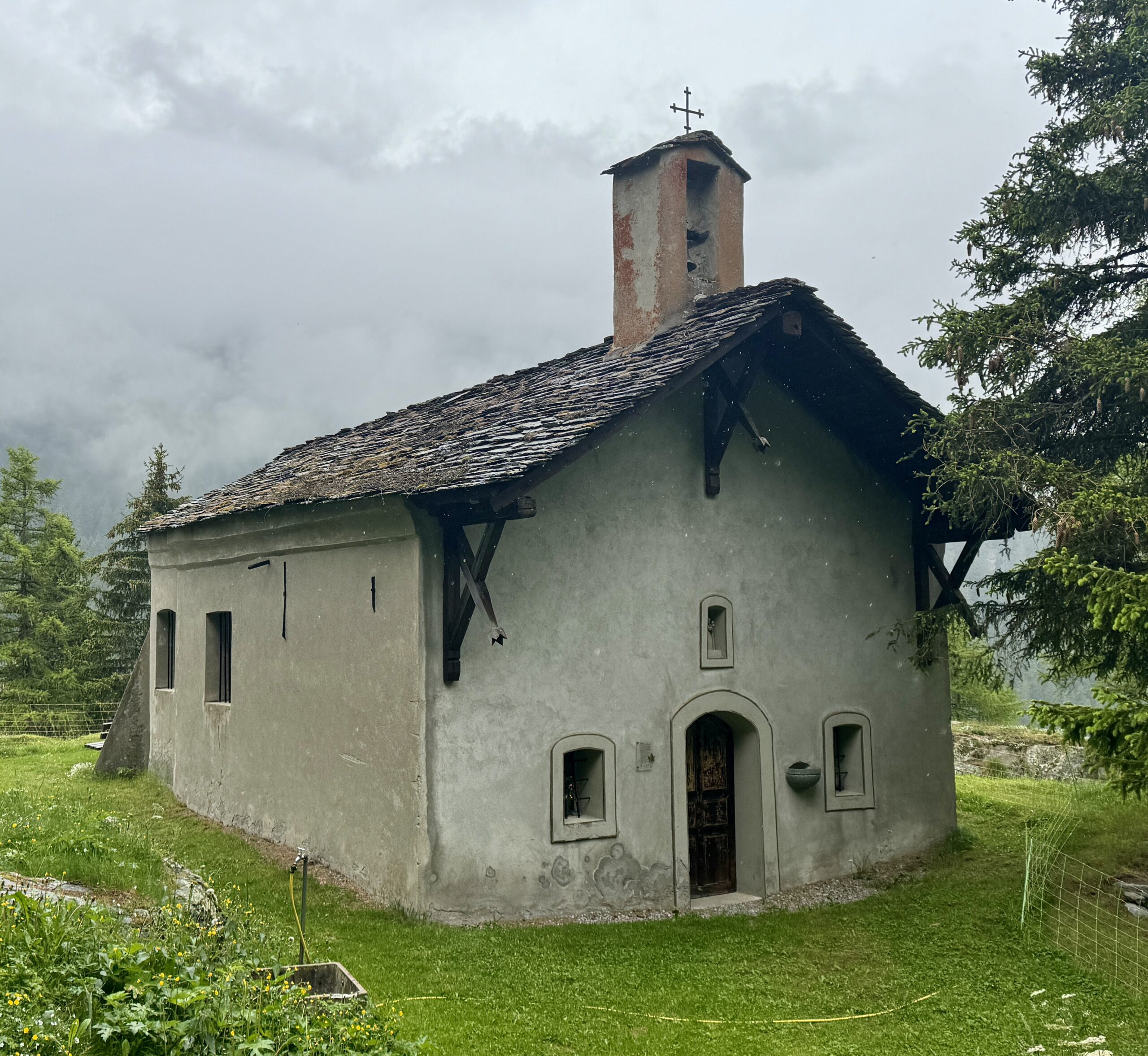
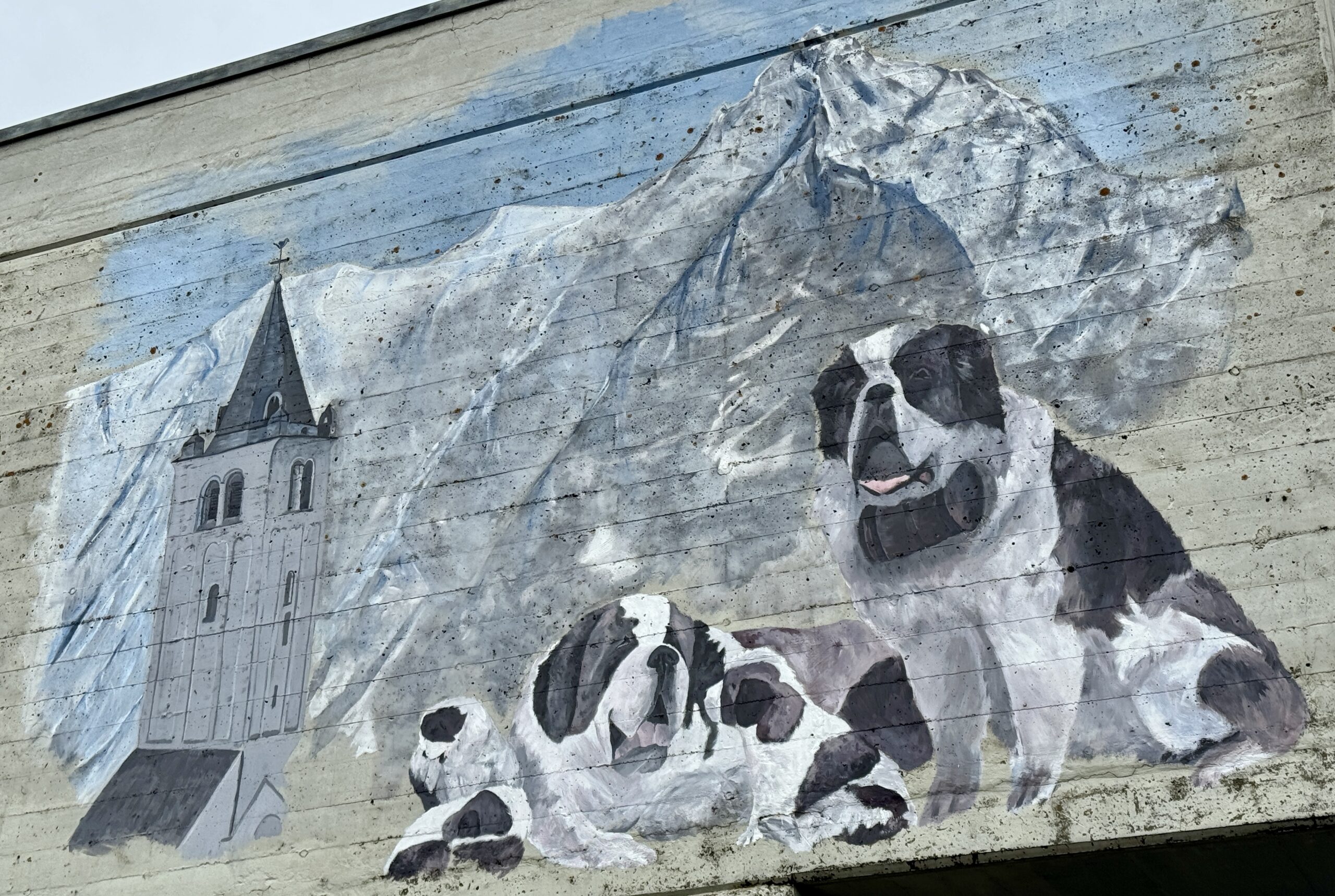
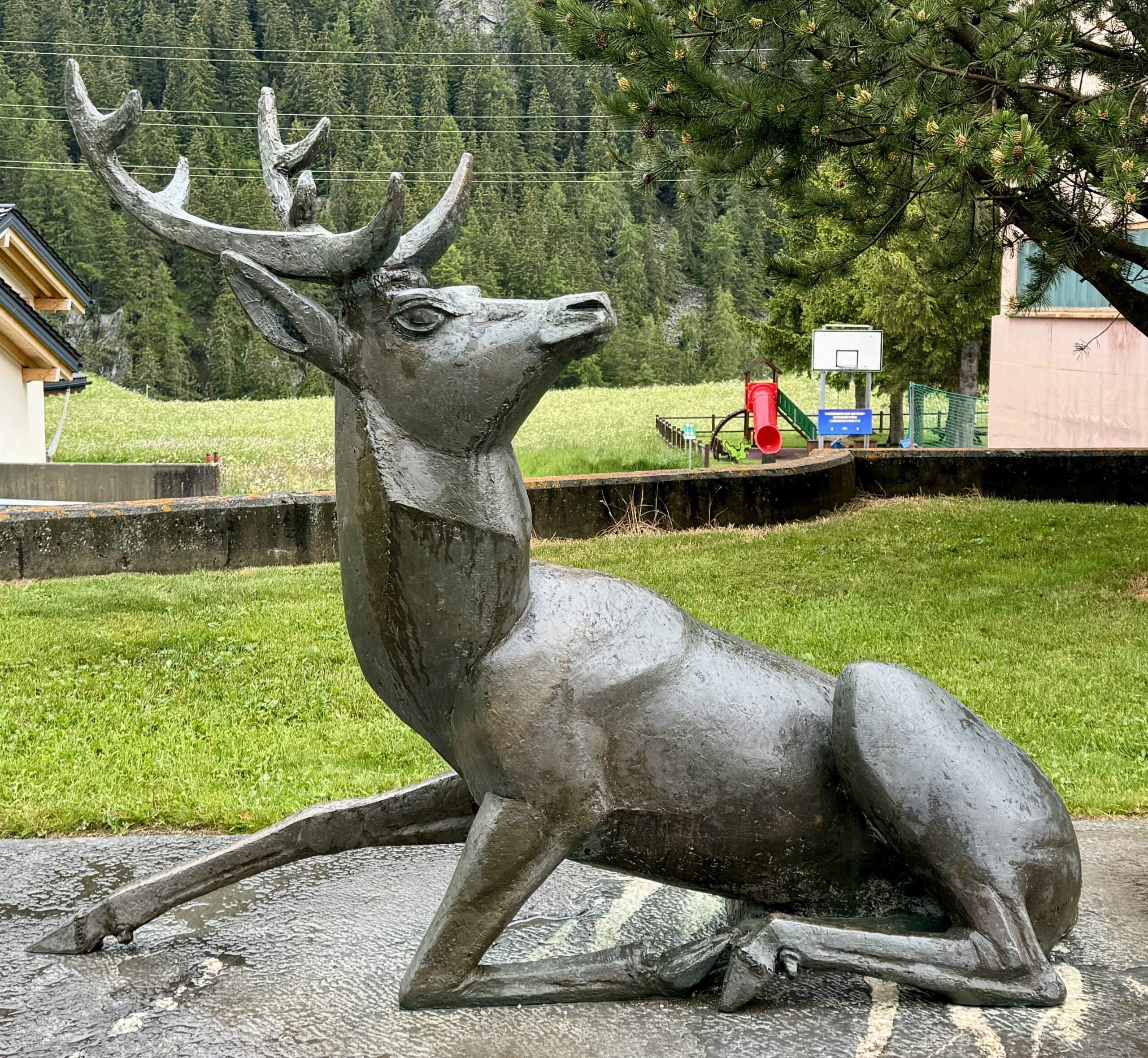
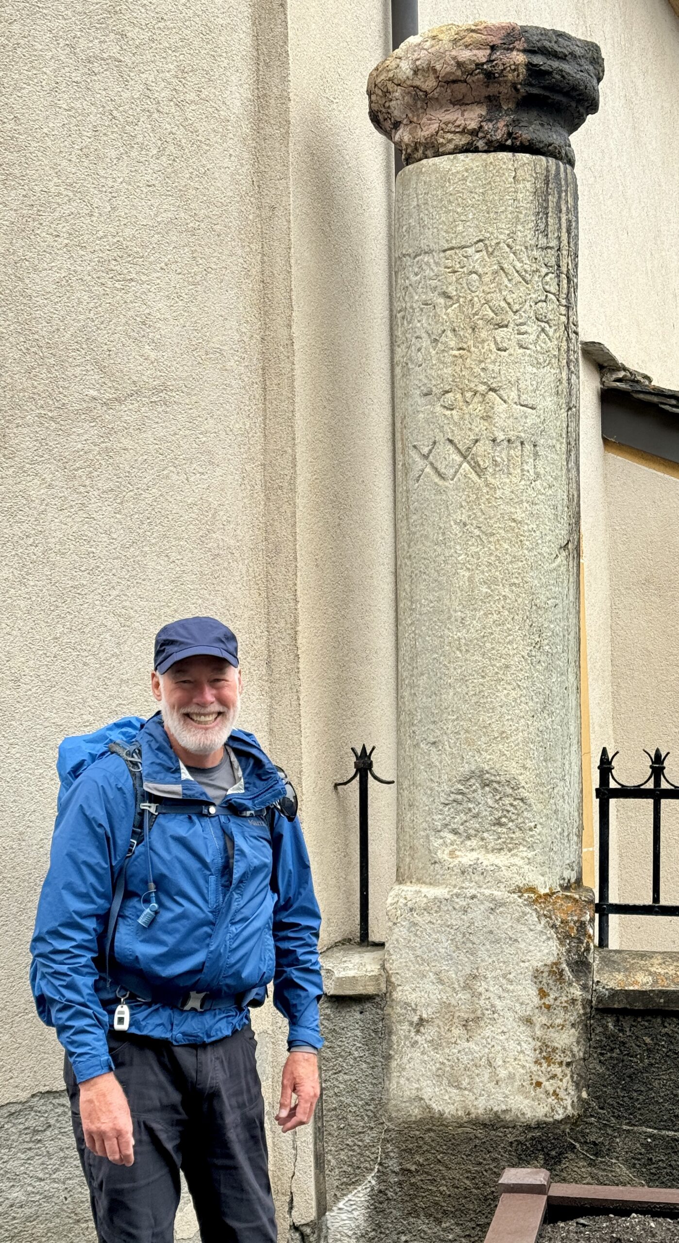
Public Art
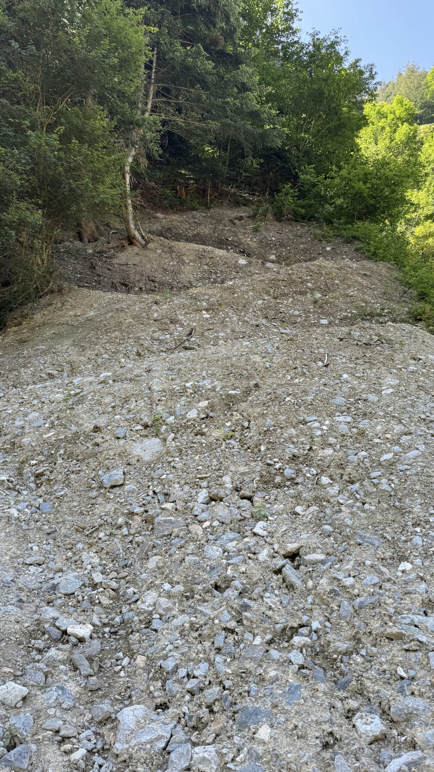
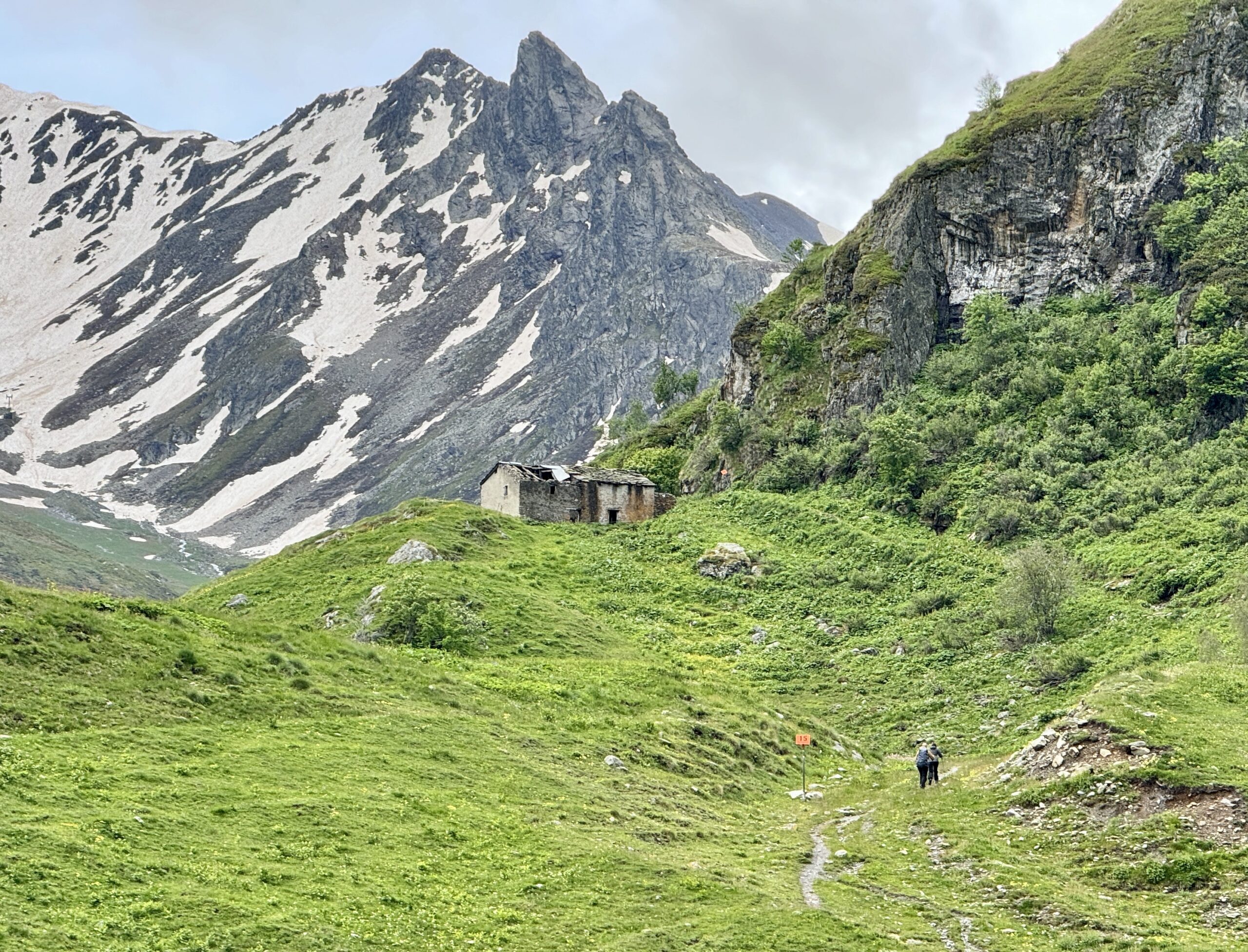
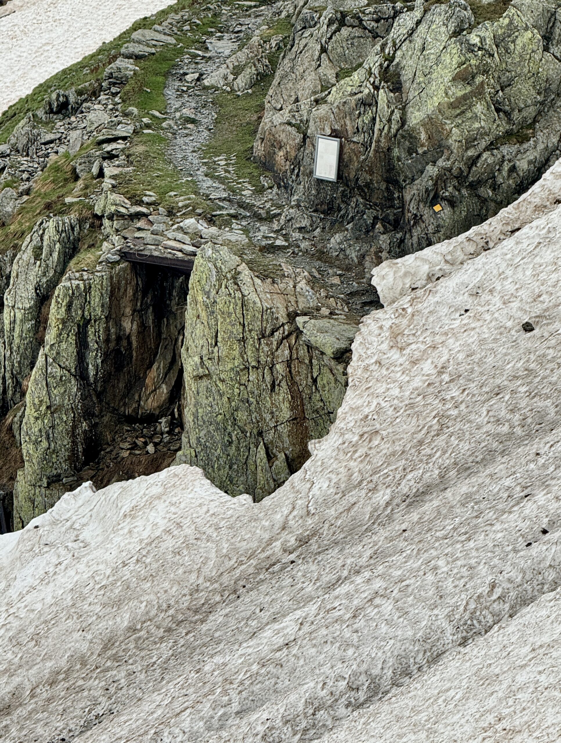
Coming to this landslide, I wasn’t comfortable following where others had gone before me…
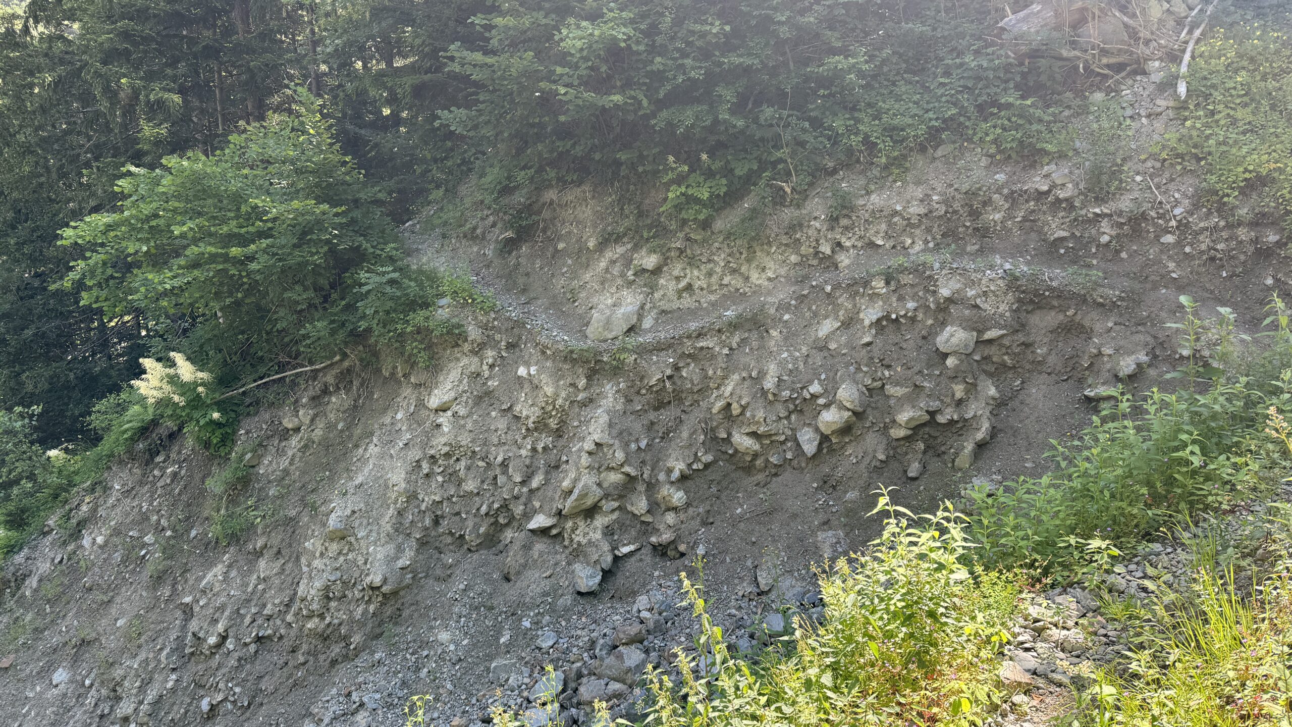
… and was happy to find a developed set of short switchbacks to go up and over the damaged land.


Day 50 AllTrails Stats
Distance: 21.9 km / 13.6 miles
Elevation Gain: 1,009 m / 3,310 feet
Steps: 35,066
Relive: https://www.relive.cc/view/vMv8GDkmYPq
Accommodation: Hôtel de l’Union, Orsières
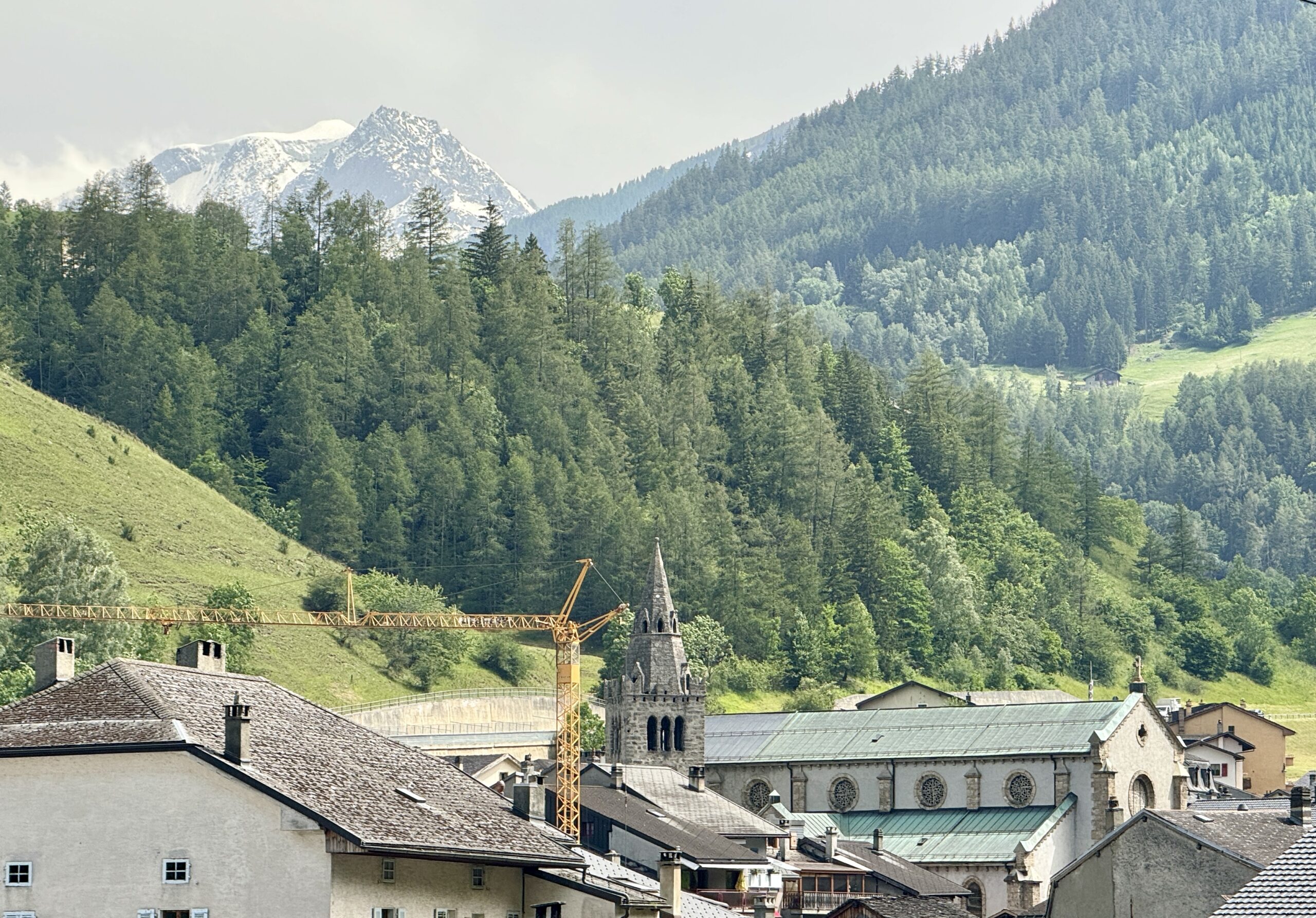
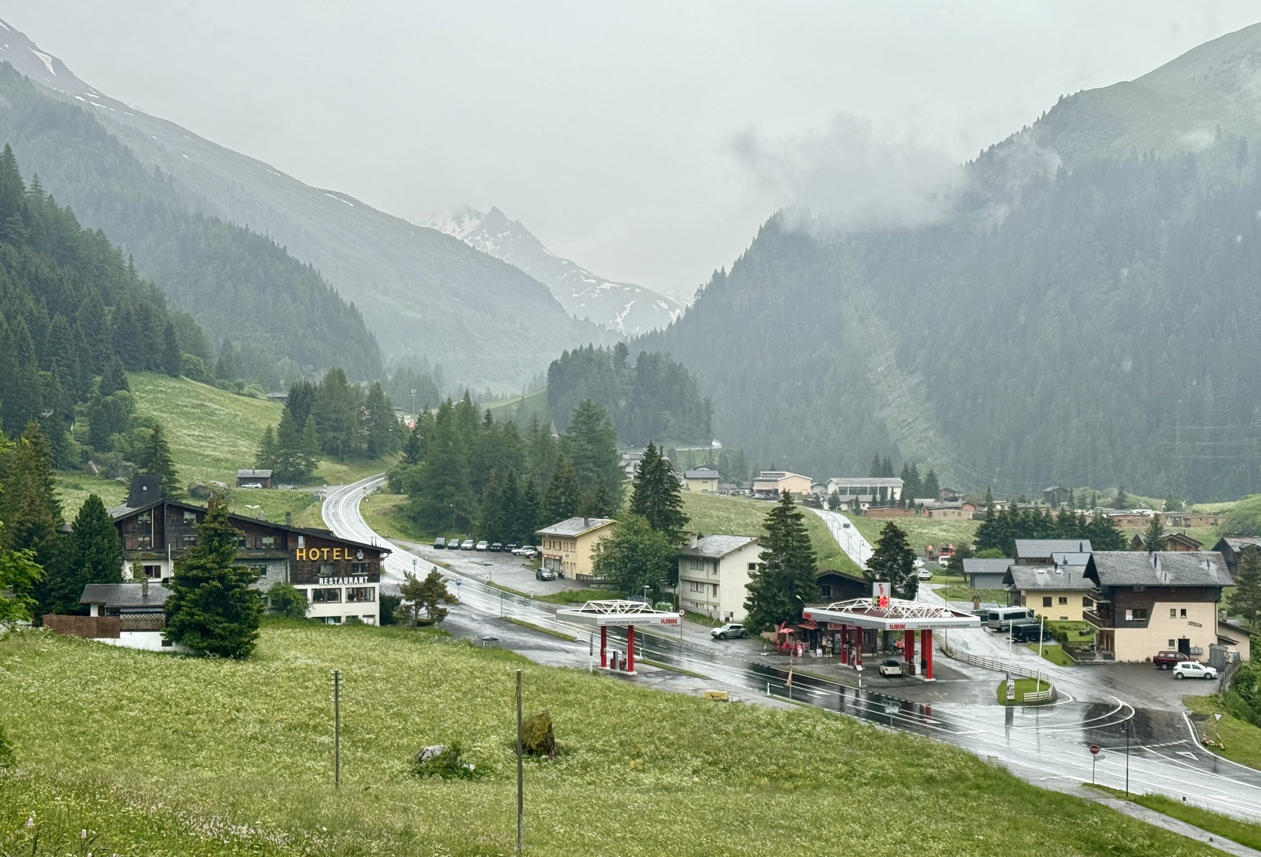
Day 51 Orsières to Bourg-Saint-Pierre
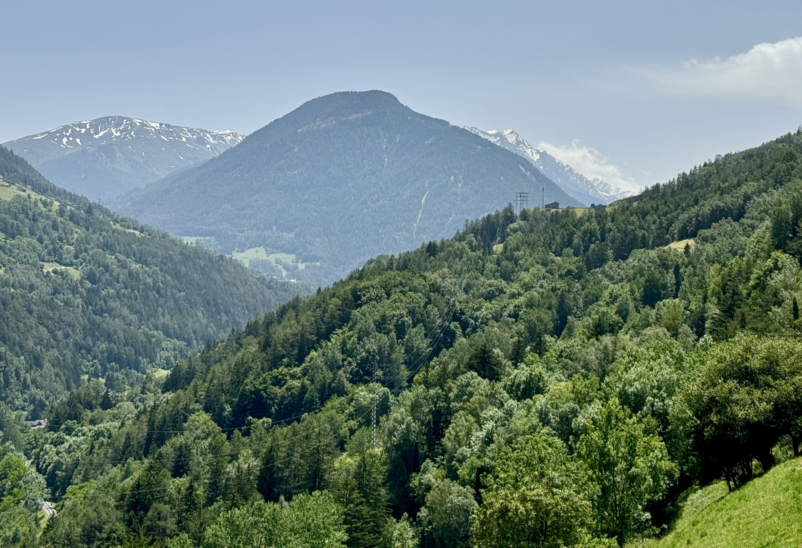
I knew today would cover a relatively short distance, but everyone kept telling me the steep grade makes it a challenging stage. Fortunately, not so much. The weather was my bigger concern, but even the rain kept to just sprinkles until the final few kilometers when the clouds came down from the mountain tops.
I don’t believe it would have been wise to attempt a 2-stage day, all the way to the pass, especially with the forecasted weather. But getting to my accommodation at 1:00pm made for a long afternoon of “what should I do now?”
I napped. I read. I visited with a family of 3 from Maine who are spending 3 weeks walking part of the VF for their first experience away from an English-speaking country. Not a normal Via afternoon, but I enjoyed chilling out. Now, as I type these words, I’m hypnotized by the wispy clouds that have switched directions and are floating up through the canyon I walked today. One minute I can see the peaks high above me, and the next I can’t see 20 meters across the street.
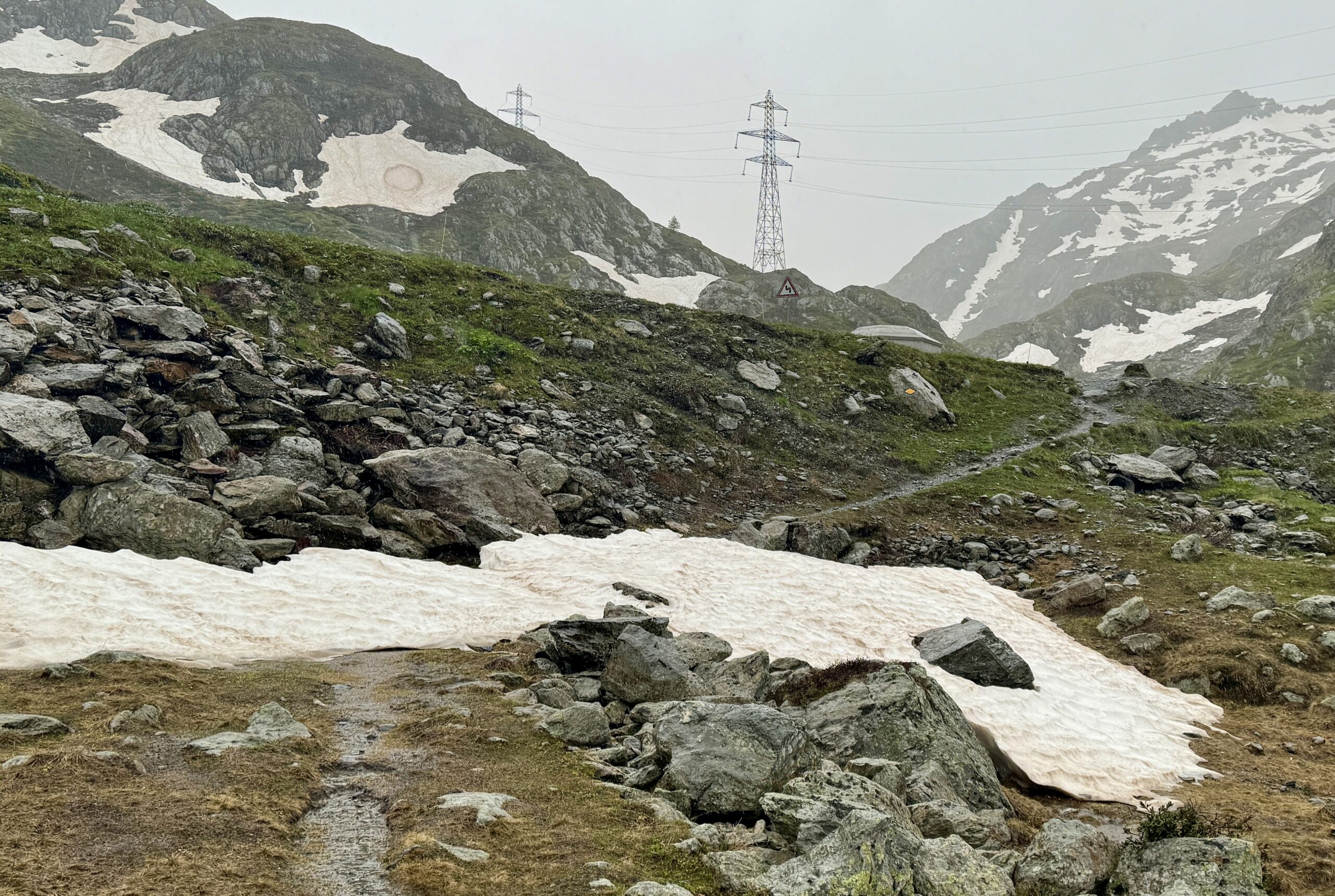
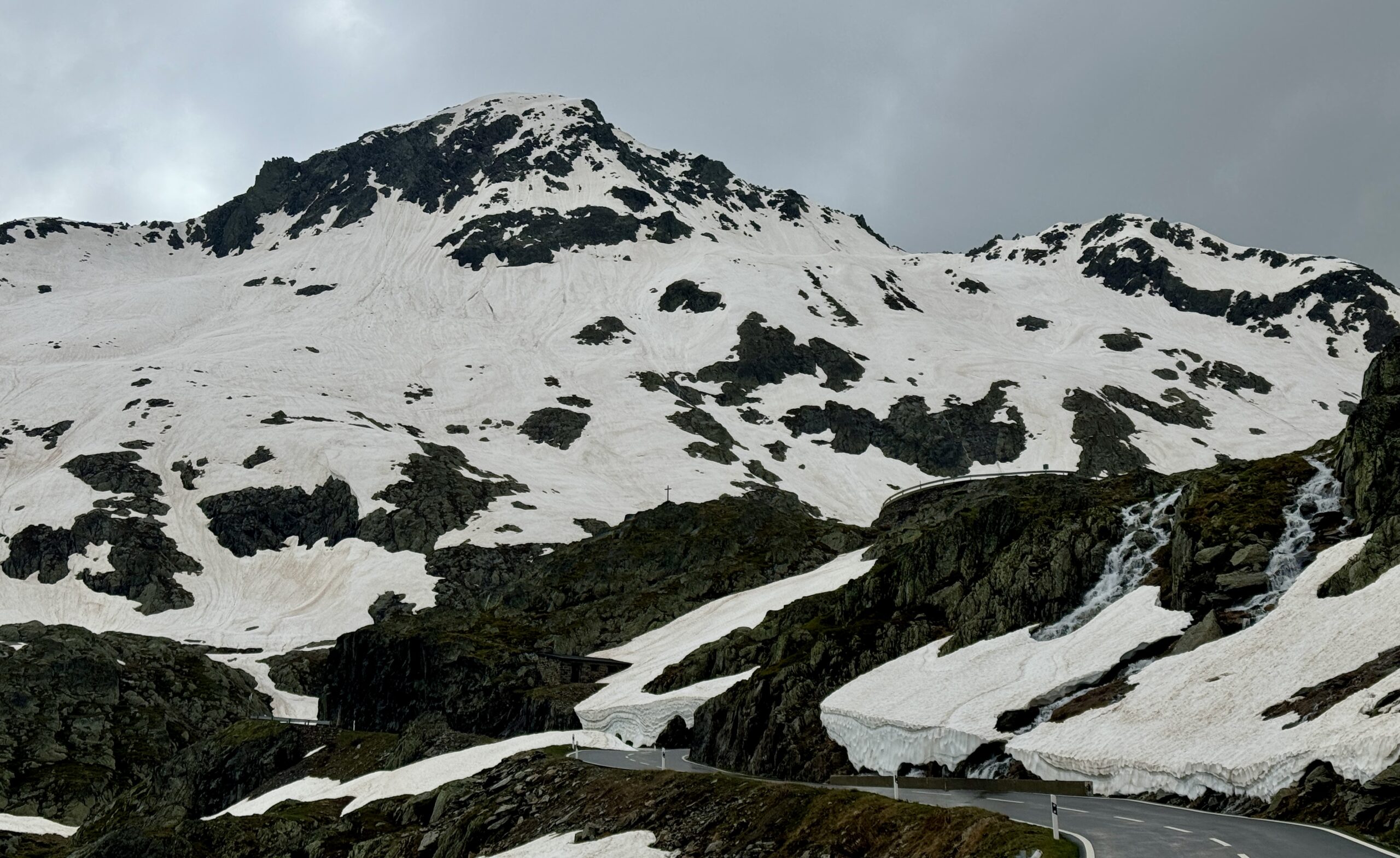
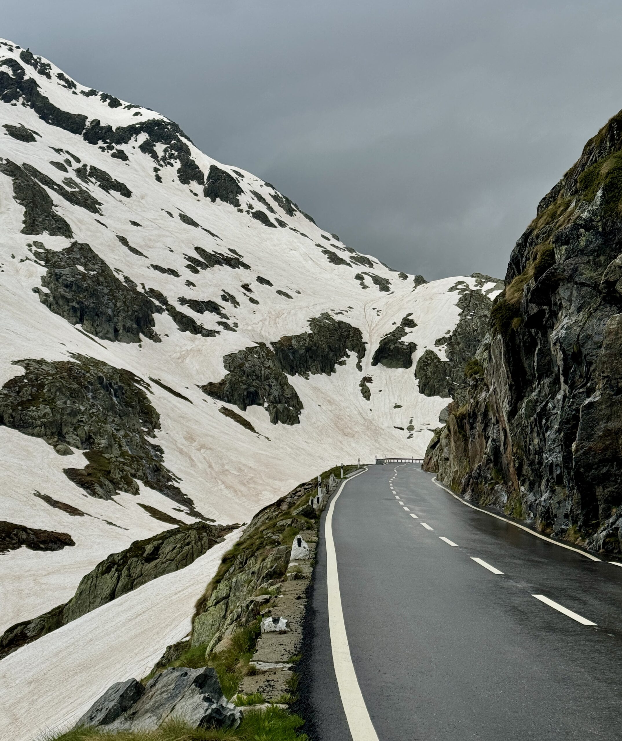
Another check of the forecast suggests a window of lightning-free weather to the Col, so I’ve agreed to meet 3 hearty New Zealanders in the morning to walk together. Belgian Dirk, who walked this stage today, reported shoulder-height snow on the trail, so pilgrims are opting to walk on the road instead. Not my preferred choice, but we’ll see.


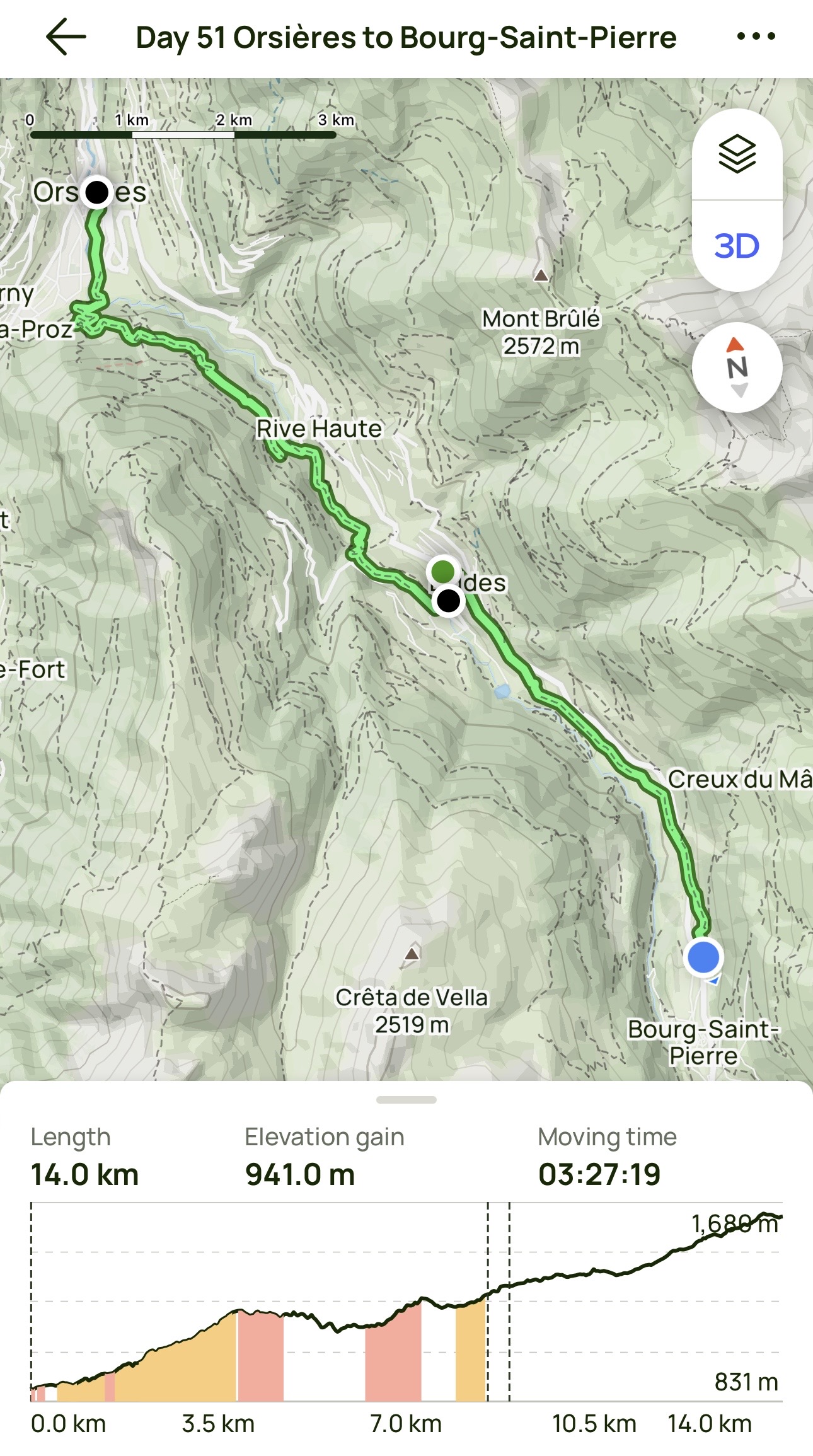
Day 51 AllTrails Stats
Distance: 14.0 km / 8.7 miles
Elevation Gain: 941 m / 3,087 feet
Steps: 19,956
Relive: https://www.relive.cc/view/vevY3d4mzy6
Accommodation: Au Bivouac de Napoléon et Spa, Bourg-Saint-Pierre
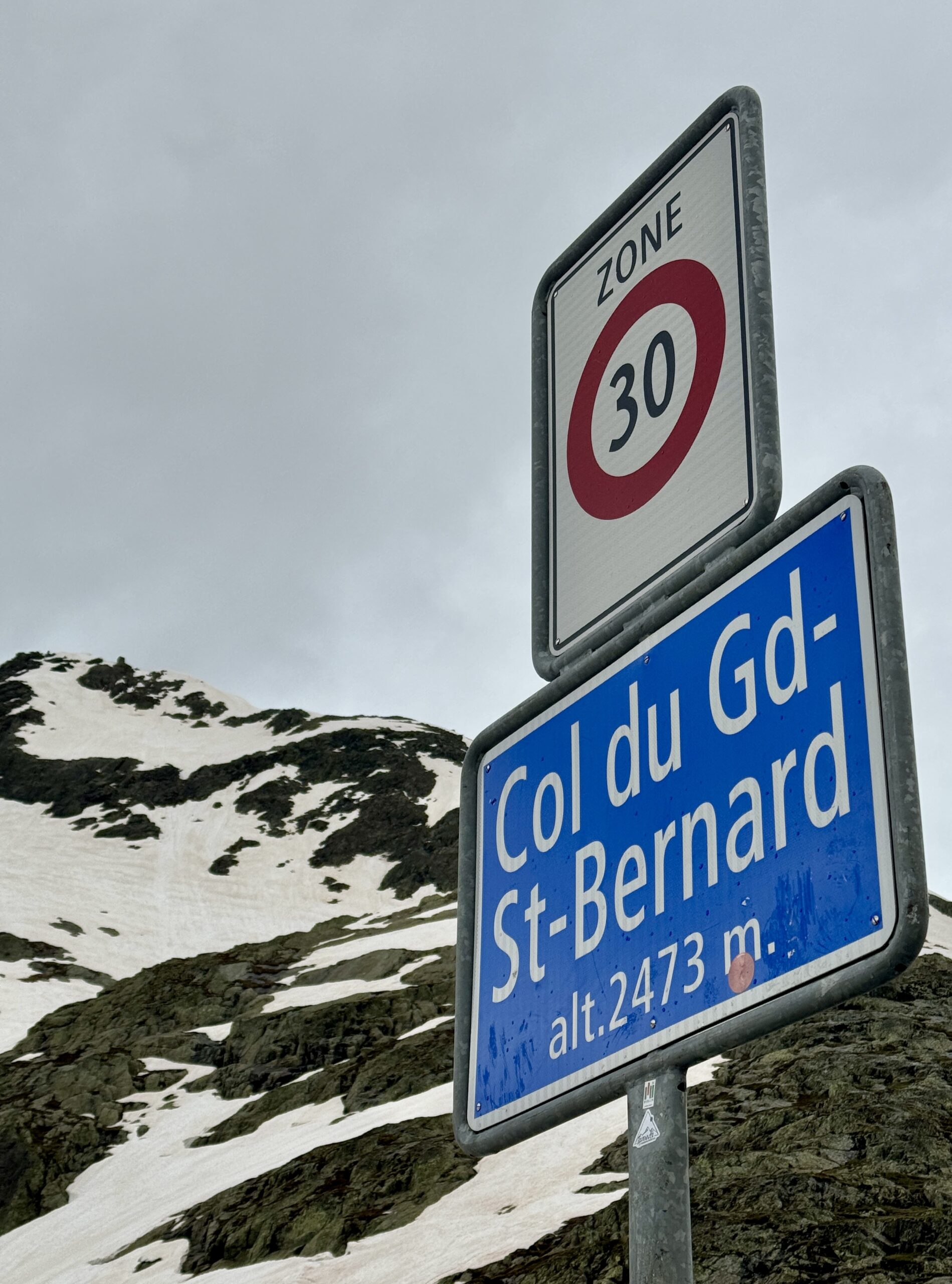
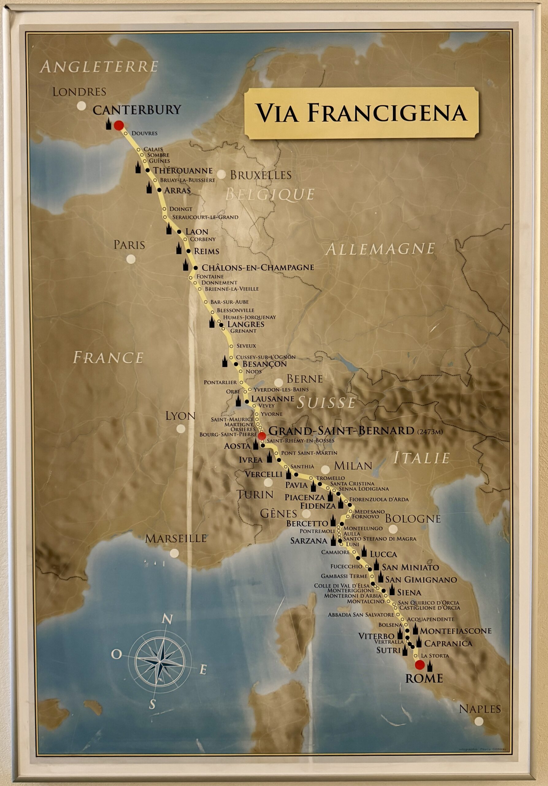
Day 52 Bourg-Saint-Pierre to Col du Grand-Saint-Bernard
Warning: I haven’t even written it yet, but I already know this will be a longer post than normal. Shorter distances usually mean less commentary and fewer pics, but this stage was always destined to be different than normal.
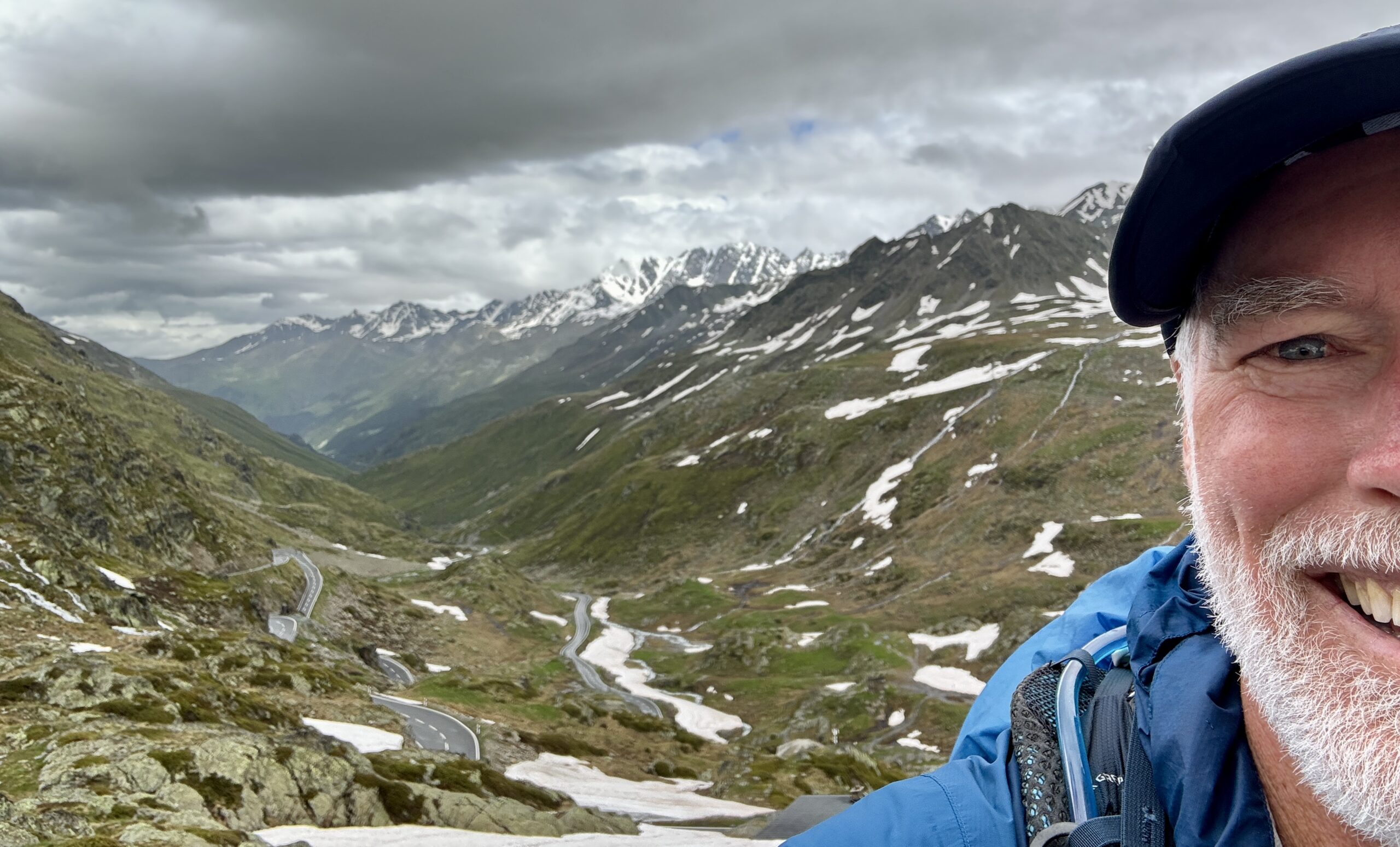
The arrival in Vatican City is probably the most significant day for the majority of VF pilgrims, certainly for those who hold religious/spiritual motivations. As a secular pilgrim, this stage to “The Col” has always been the one that I have most anticipated. It just ticks so many special boxes in my life: nature, geography, conditions, history, challenge…
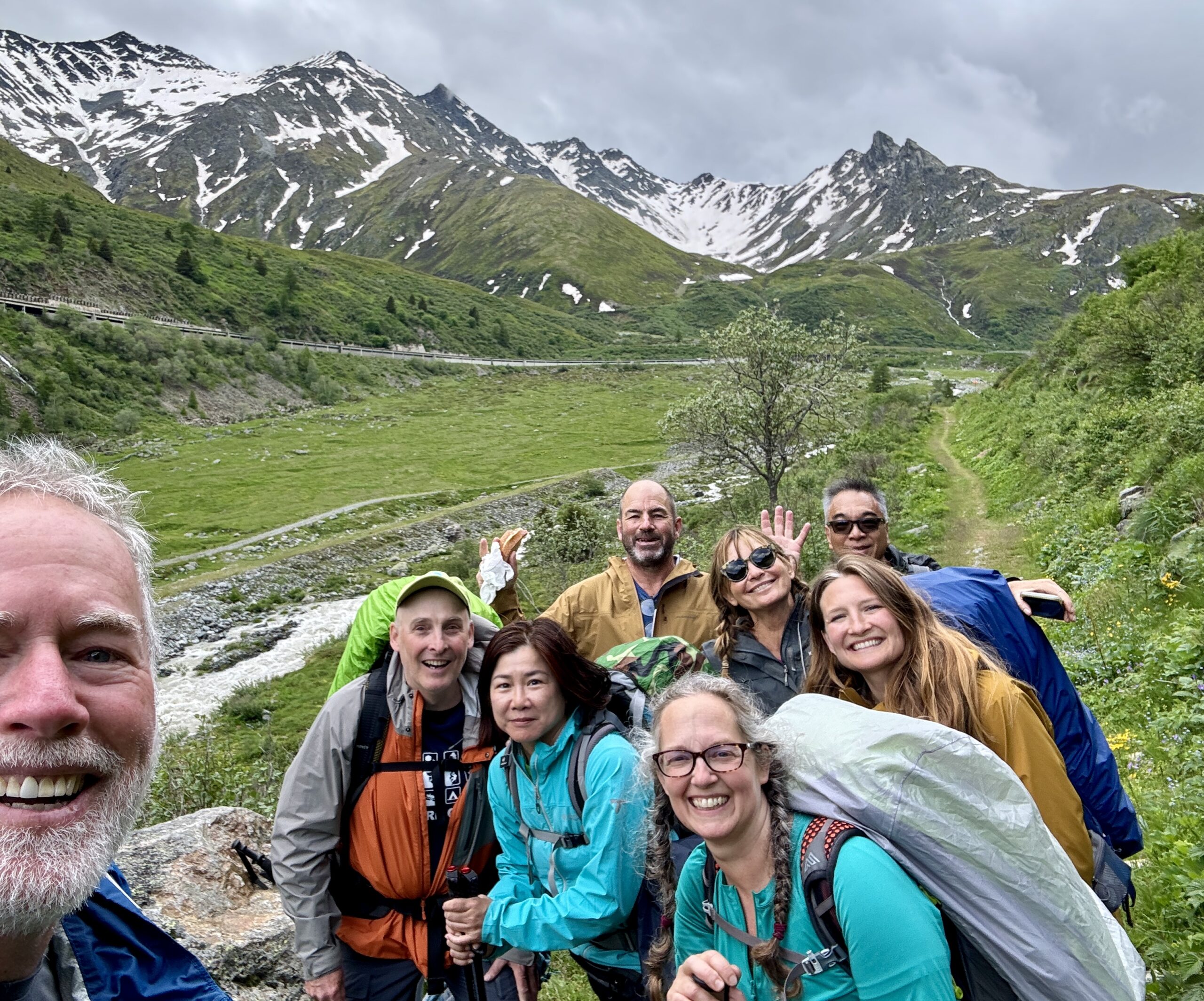
I will admit to some trepidation over the past month, as the “late Winter, late Spring” of 2024 brought angst to walkers who were relying on the “traditional” schedules for this trek. When the Col didn’t open on June 1st, as “it always does…” even those of us still weeks away began to consider the alternate plans for this stage: “If the trail’s closed, we can still walk the road. If the road’s closed, we can still take the bus. But if the road’s closed to vehicle traffic, oh shoot… what then?” I have been checking the weather forecast for the Col every day of my app’s 15-day window. It wasn’t looking good, “but forecasts for the mountains are never reliable…” Even as recently as last night, when the group of walkers in our “base camp” collectively compared our various weather apps, we decided an early start would be unwise and agreed on a 3-4 hour window starting at 9:00am that we should aim for.
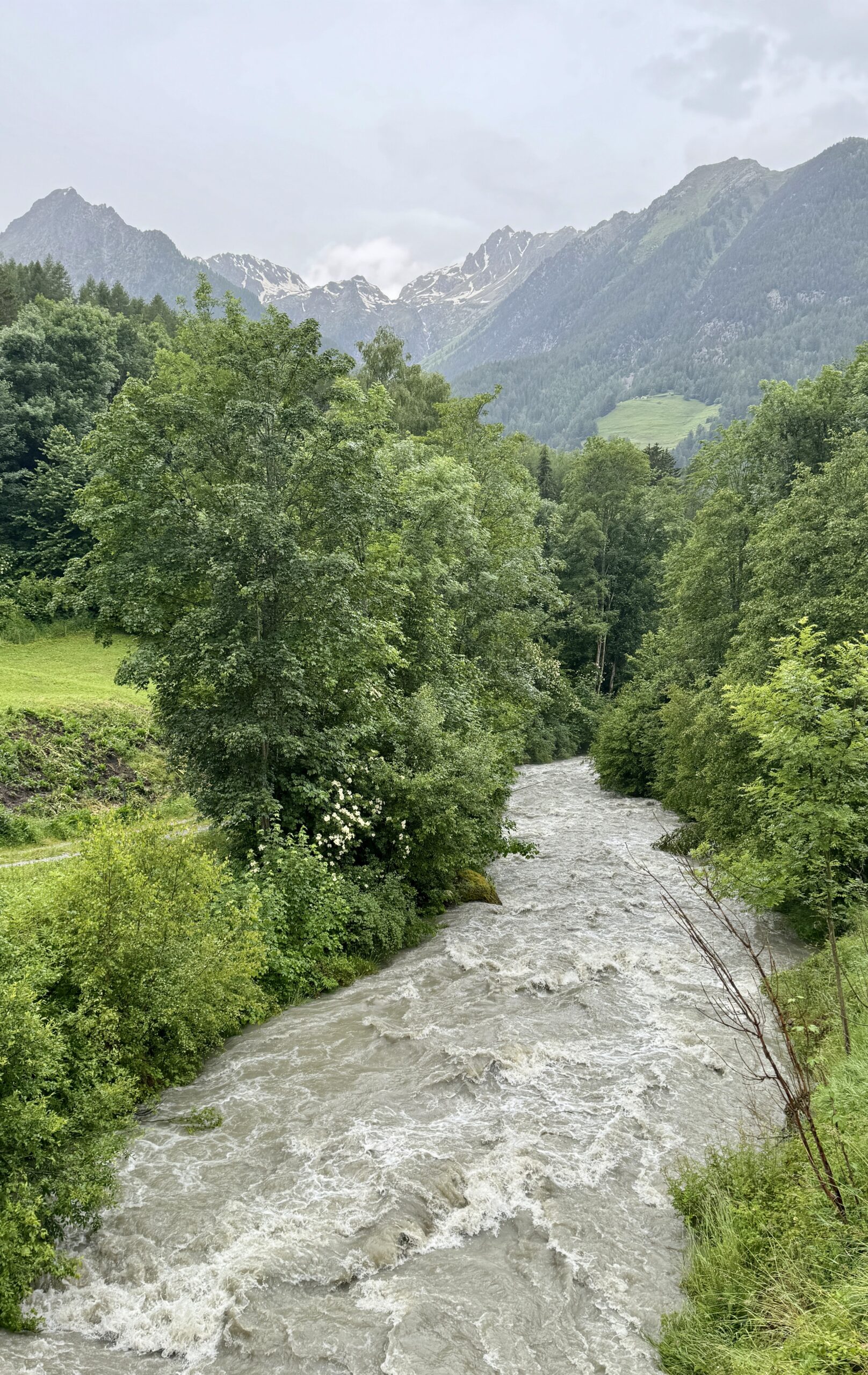
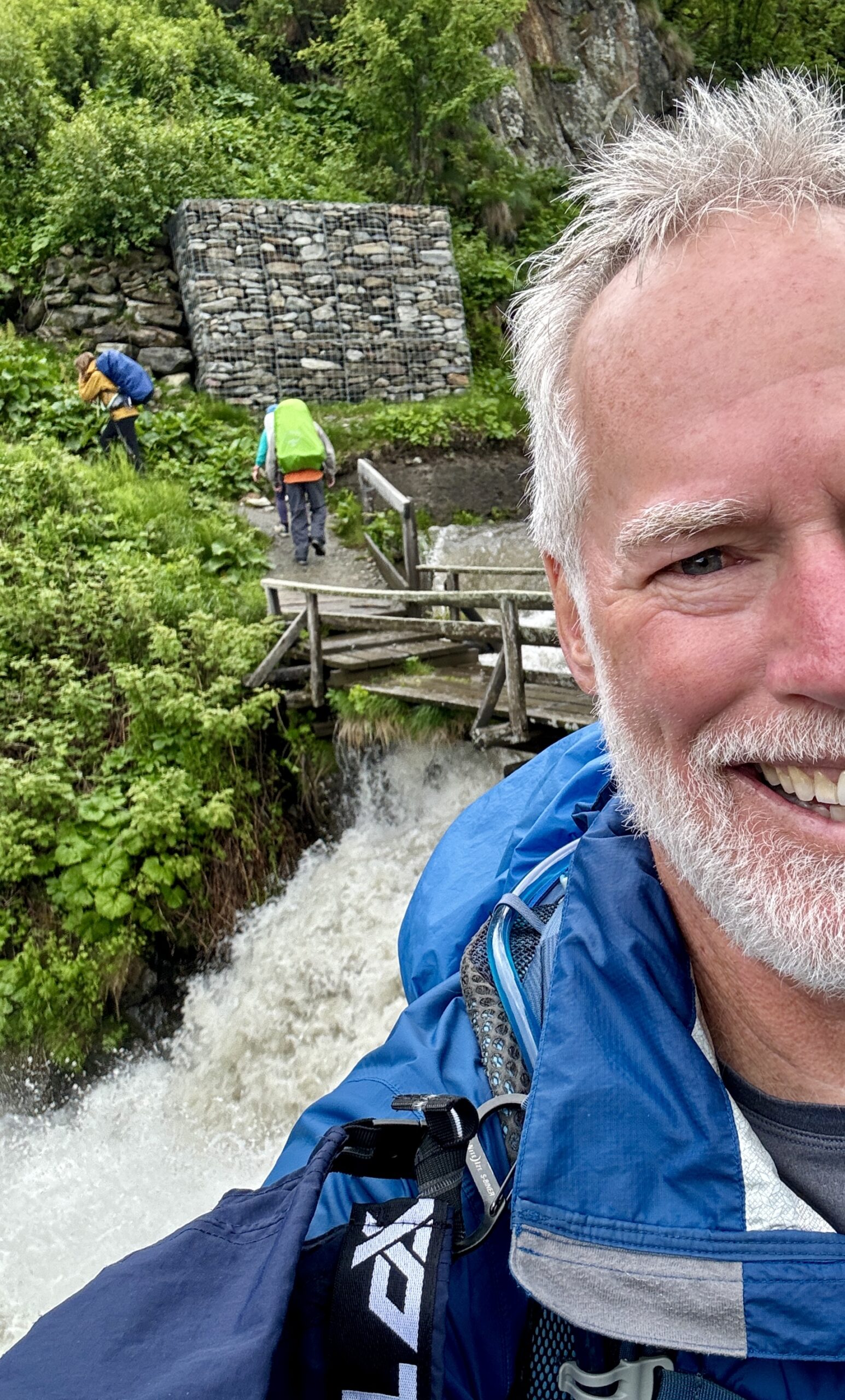
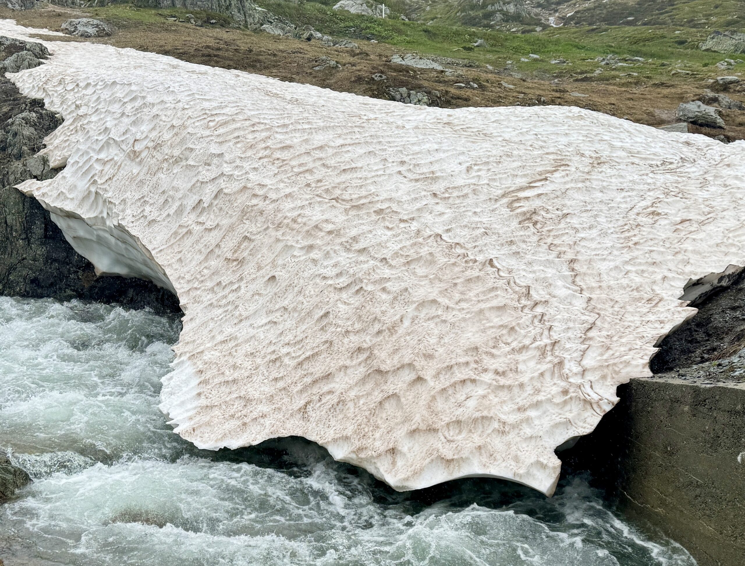
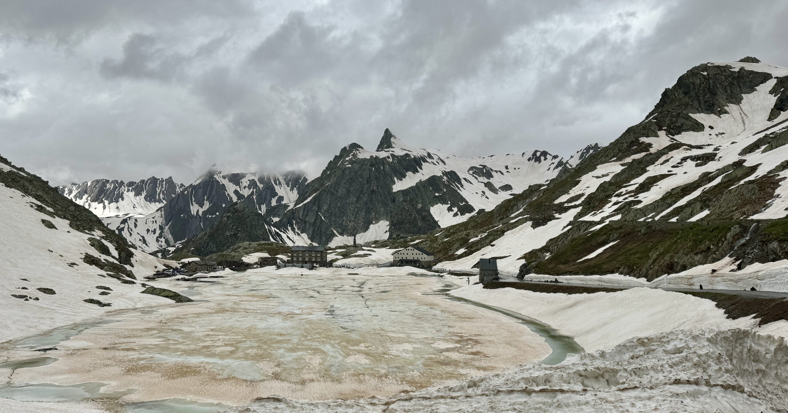
Our group for the day included 2 of the New Zealanders (the third is nursing a knee injury and opted for a taxi to the top), the family of 3 from Maine, a couple from Hong Kong, and me. All the others had started their walks in the past 1-2 weeks and were still sporting sore muscles, blisters, and unnecessarily heavy packs. I seemed to be the only one excited about the stage. I was also the only one keen to walk the “official route,” and to stay off the roads and shortcuts as much as possible. As a result, I walked separately from the others for most of the day, meeting them once just as the weather started to look ominous. You’ll see our group shot. After that, it got serious. I tried my best to capture the volatile conditions, but the rain takes away from the photo quality. That rain quickly turned everything into creeks, streams, and rivers. Even in my foul-weather gear, I was soaked to the skin. More discouragingly, I was forced off the trail and onto the road for the last 2 km as the snow was very slushy and didn’t give me the traction I wanted for the final ascent.
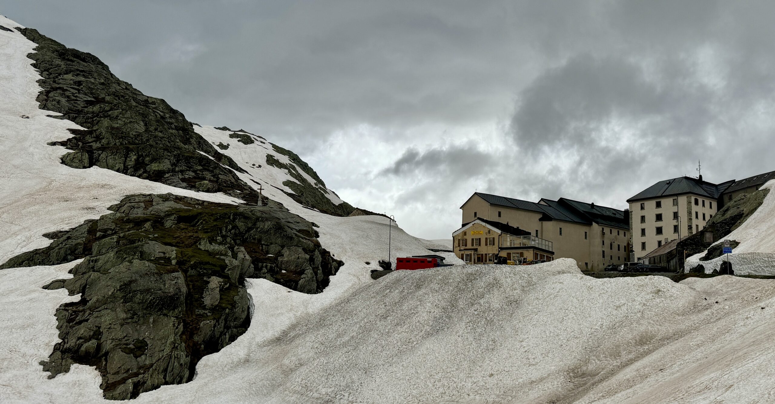
Arriving at the Col itself was magical, despite the conditions, and I was touched to stay at the famous hospice. I’m going to quote at length from Sandy Brown’s guidebook:
This historic pass over the Alps sits at the border of Switzerland and Italy in a jagged saddle between Mont Blanc to the west and the Grand Combin to the east. Water that falls on the north side of the pass drains into the Rhône Valley through Switzerland and France, while water falling on the south side of the pass drains into the Dora Baltea and Po Rivers in Italy.
The Alpine crossing is first mentioned in historical documents describing the invasion of the Italian peninsula by Celts in 390 BC. An expedition sent by Julius Caesar in 57 BC attempted to take the pass, but it was not until a generation later that Augustus Caesar won the crossing for the Romans. In AD 43 Claudius completed a new Roman road through the pass and erected a temple to Jupiter at Plan de Jupiter on the Italian side. After the Roman period the pass continued to be used, though travellers were plagued by bandits and sudden storms.
In 1049 Bernard of Menthon established a monastery and hospice here which has maintained uninterrupted, year-round service to travelers since its establishment.
In May 1800, Napoleon Bonaparte crossed the Alps here. Leaving last after his 40,000 men, he is said to have slid down the snowfield on his backside.
Saint Bernard dogs were bred here and used for rescue operations, the most famous being ‘Barry,’ who is said to have saved 40–100 lives. The dogs are first recorded in the year 1690 in paintings by Salvatore Rosa and though they have been retired from service since the 1950s a small number are brought to the pass each year for the enjoyment of tourists.
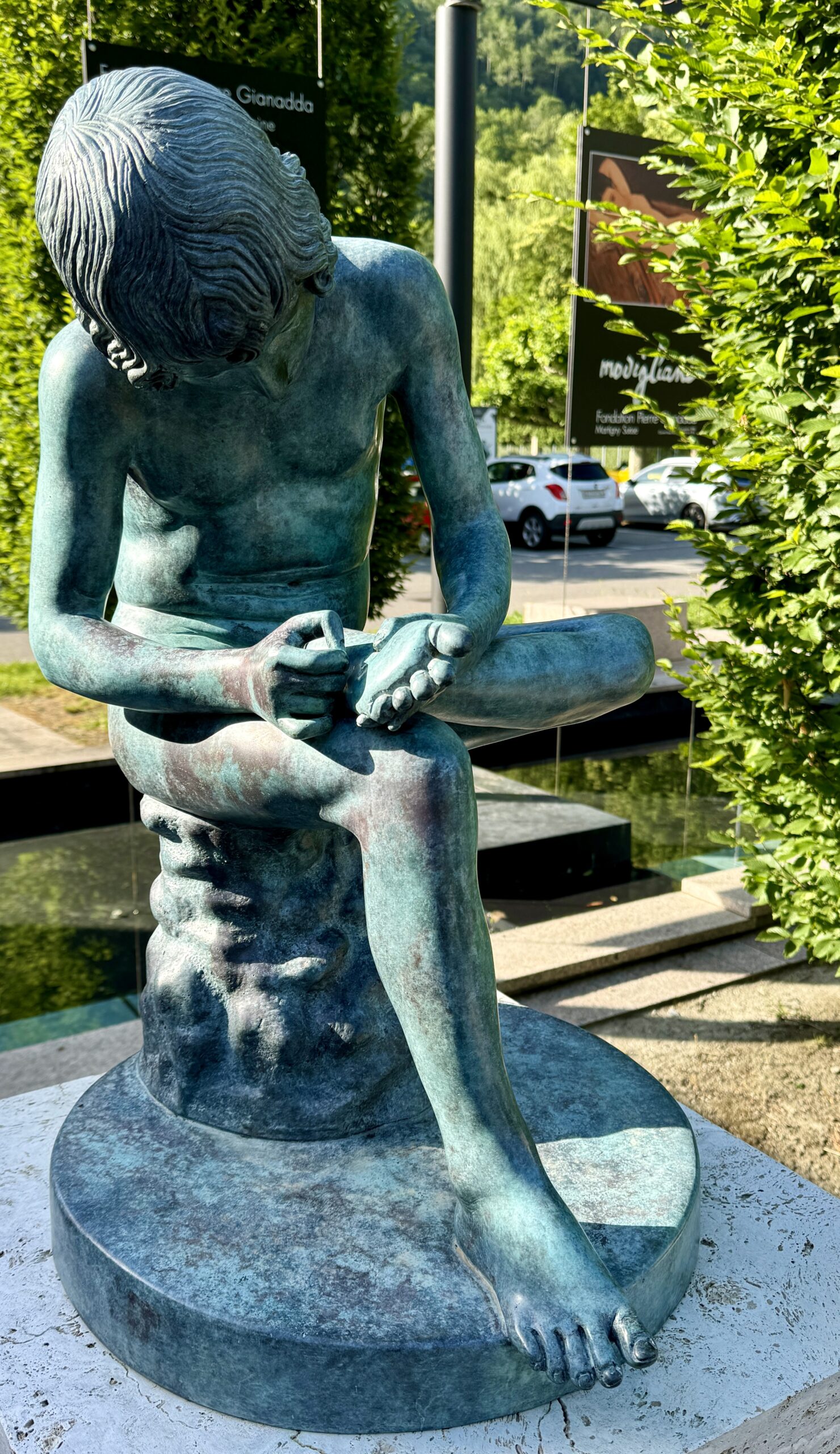
Public Art

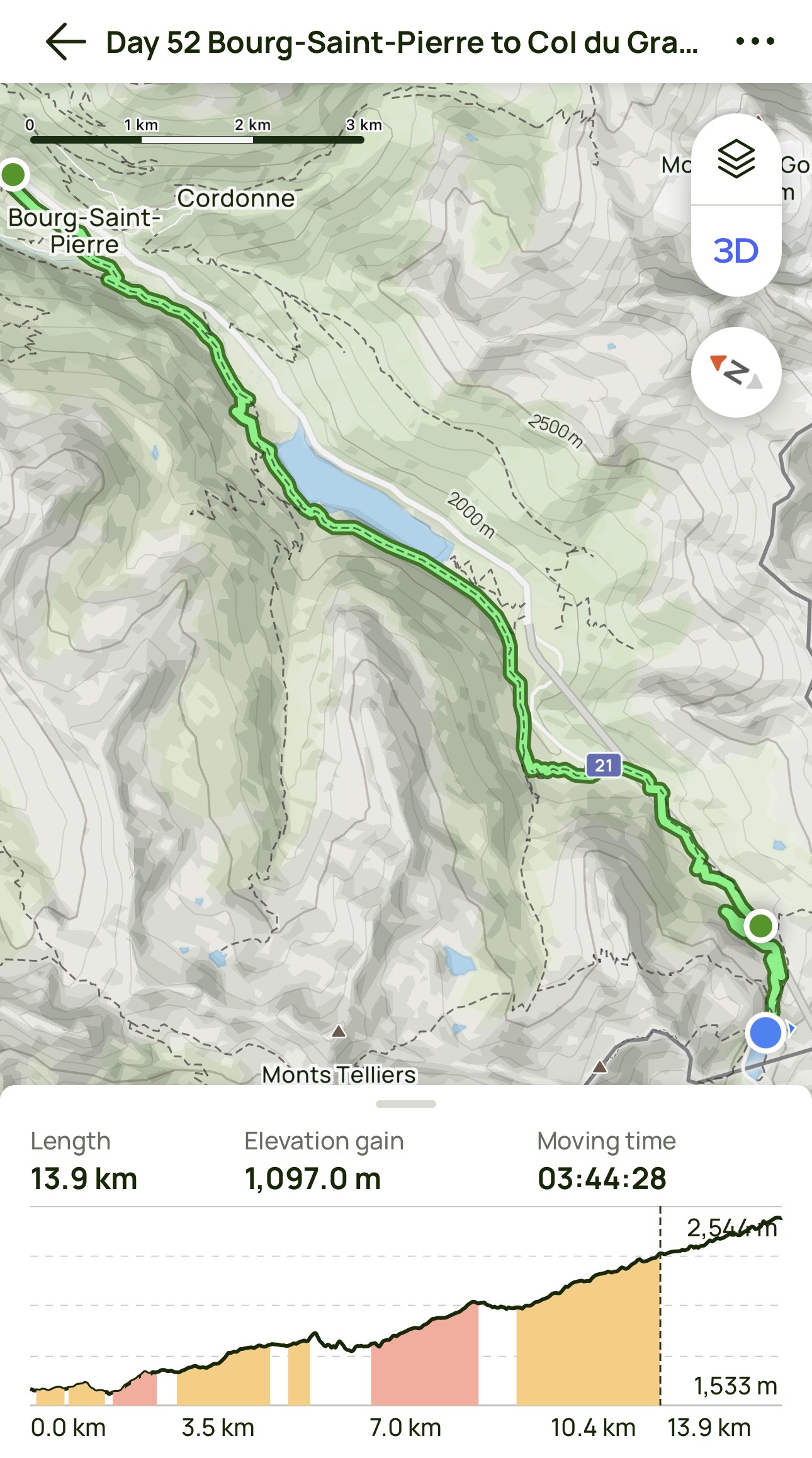
Day 52 AllTrails Stats
Distance: 13.9 km / 8.6 miles
Elevation Gain: 1,097 m / 3,599 feet
Steps: 22,724
Relive: Sorry – none today.
Accommodation: Hospice of the Great St Bernard, Col du Grand-Saint-Bernard
Days 1-52 AllTrails Cumulative Stats
Distance: 1,168.0 km / 725.8 miles
Average Daily Distance: 22.5 km / 14.0 miles
Elevation Gain: 25,281 m / 82,943 feet
Steps: 1,801,359
The musical sound of the cow bells in the mountains brings back so many memories of my hike in the Dolomites. It is so lovely.
It’s very calming, isn’t it?