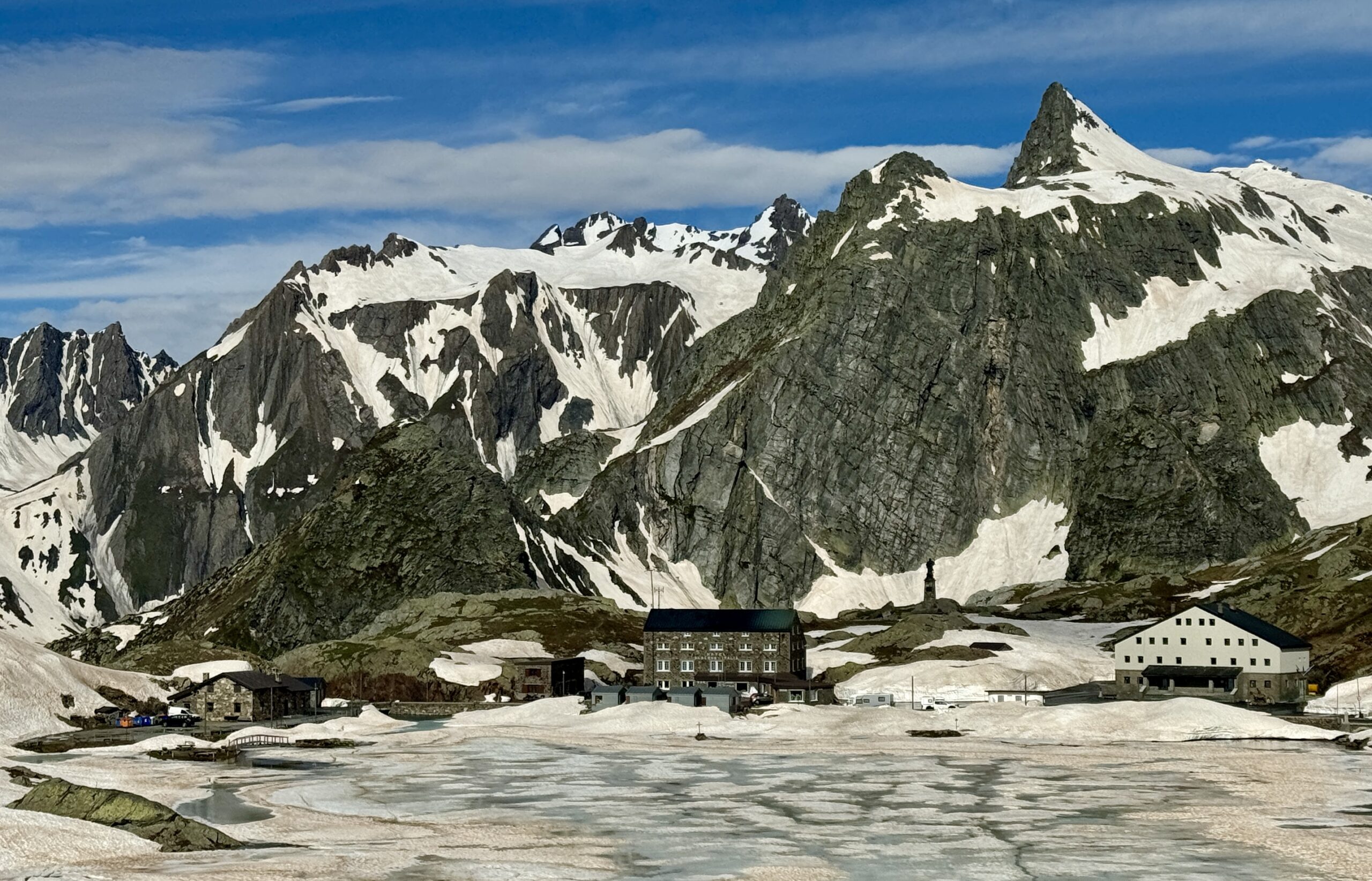
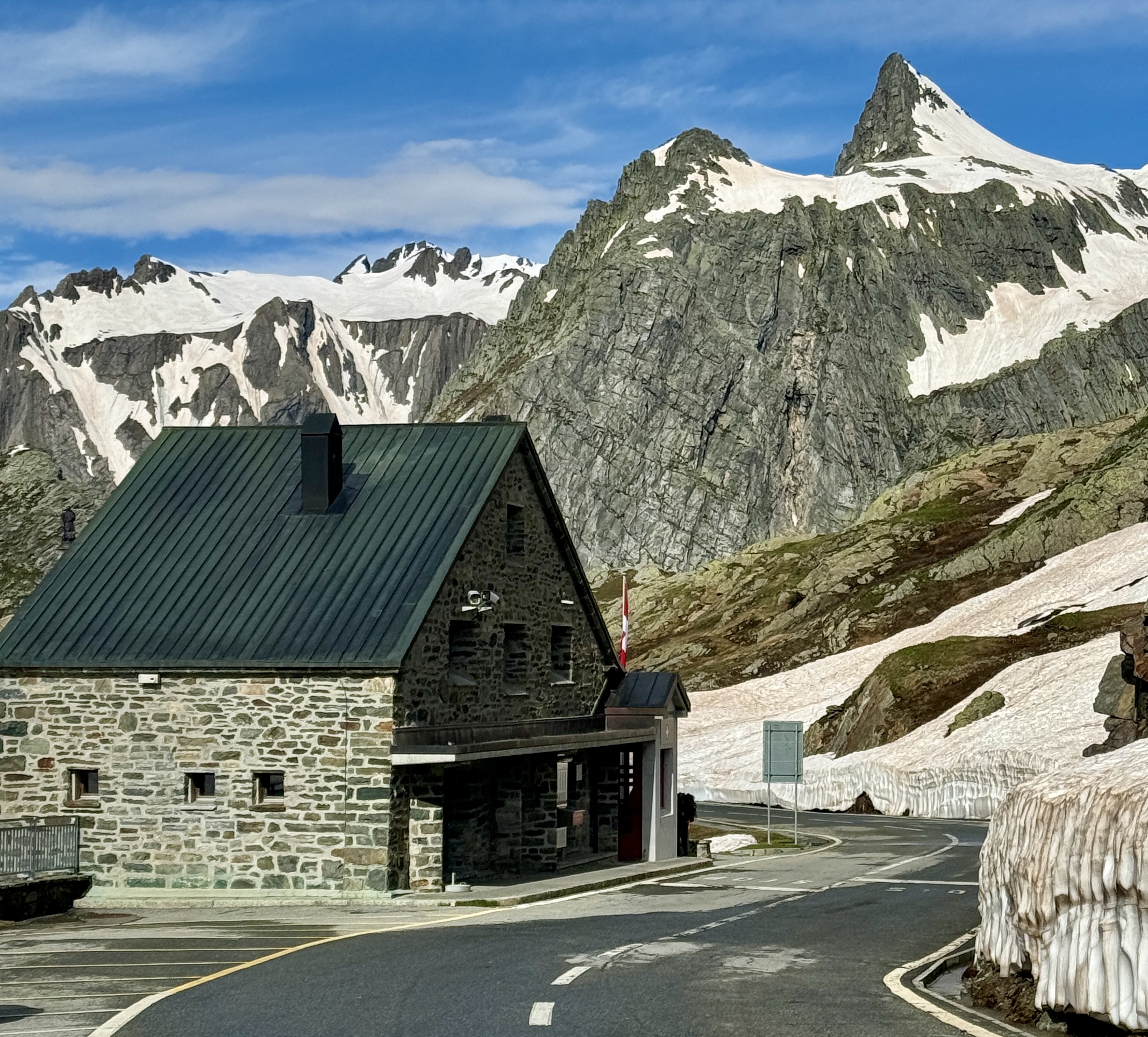
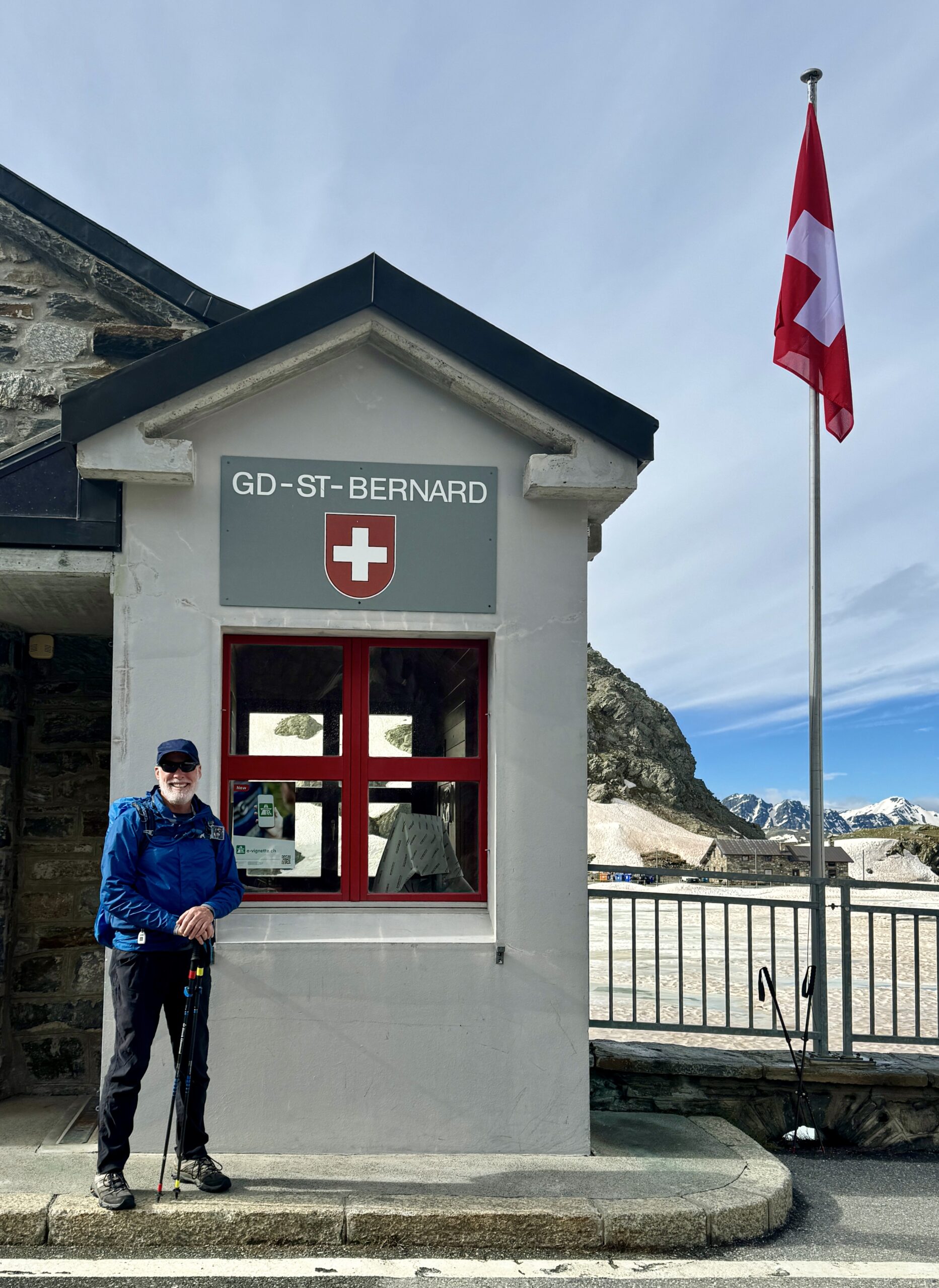
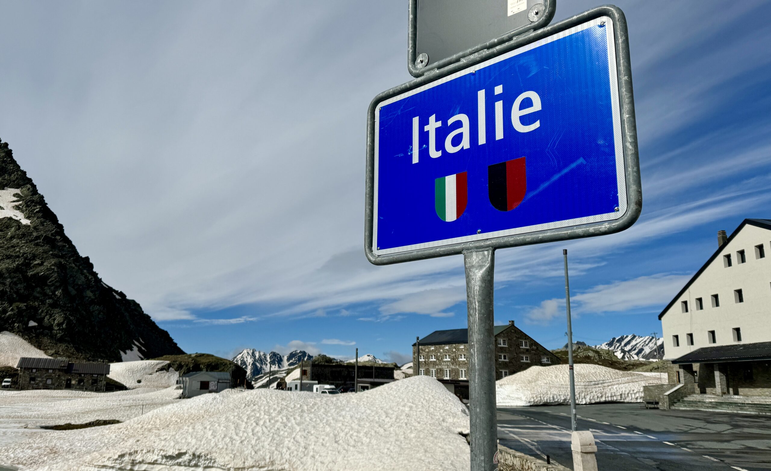
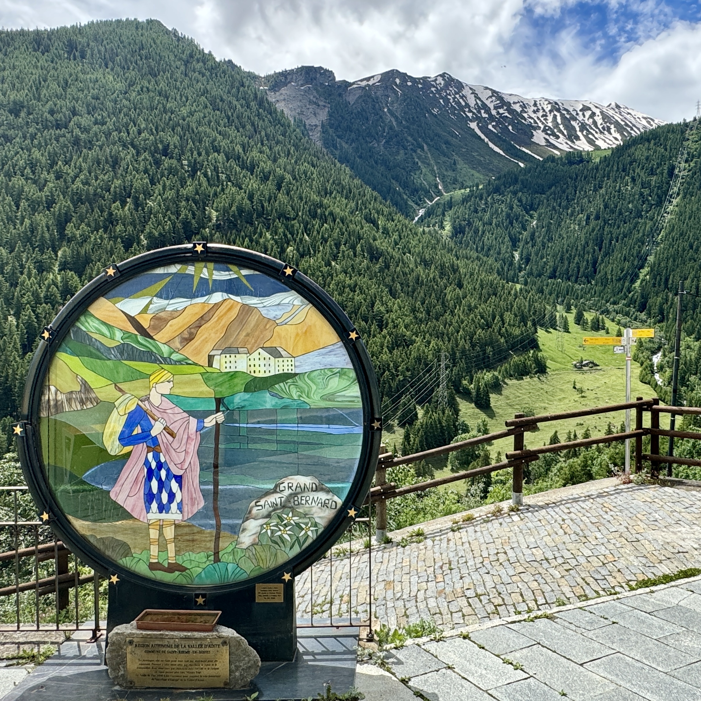
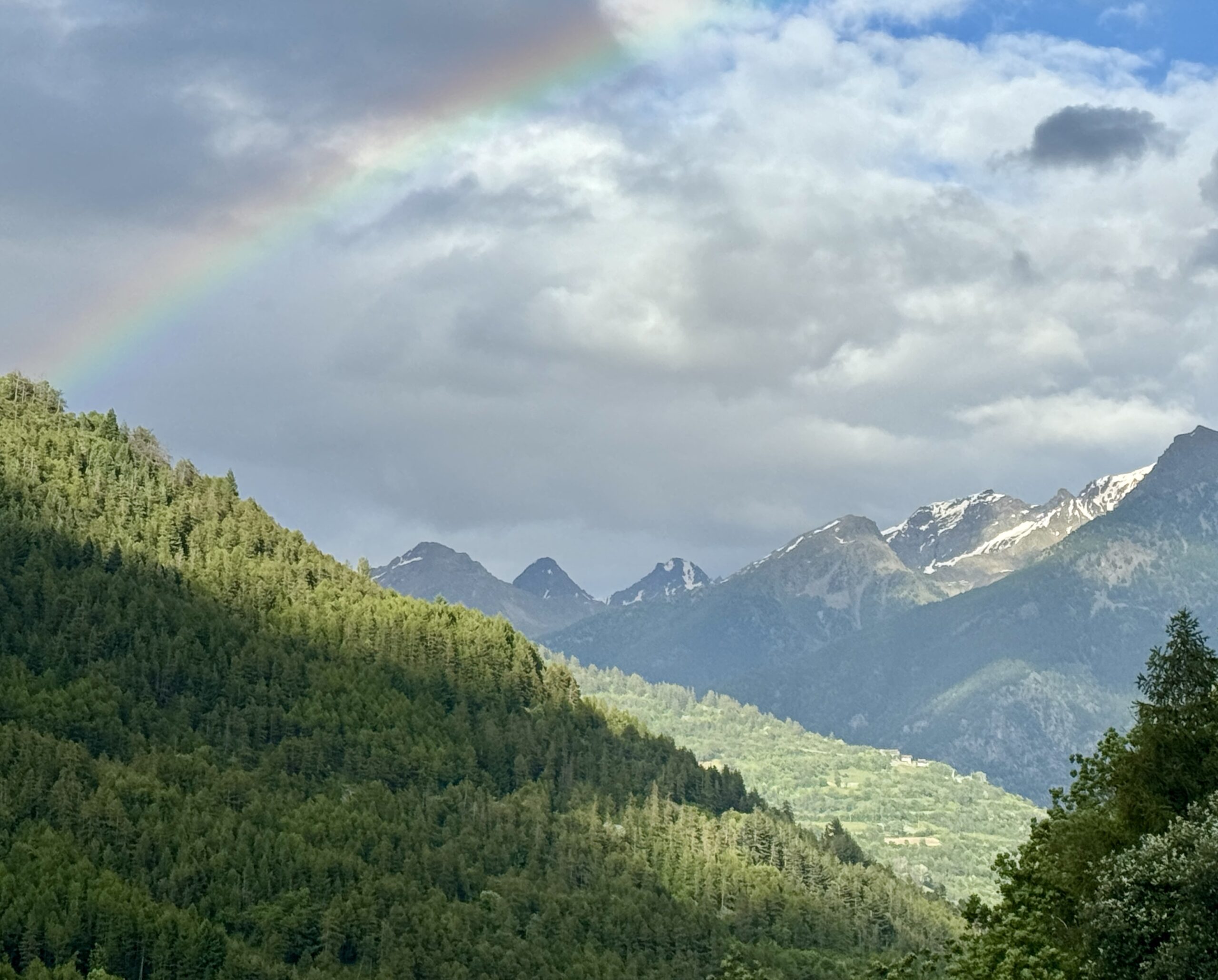
Crossing the dramatic alpine border into the fourth country of my trek brought so many changes. First, after several days of climbing up from Lake Geneva, I faced a quick downhill drop amid runoff from the melting snowpack. Furthermore, the language, food, wine, and ambiance confirmed that I really was in a new place. Italy is special! I took two days to cover the trail described in this post, over a distance that many pilgrims cover in a single day, then gave myself a rest day in the city that gives the Val d’Aosta its name. Knowing that I won’t make it all the way to Rome before my Schengen Area visa expires, I’ve decided to take my time and pause more often to enjoy the views and conversations with locals, pilgrims, and other visitors.
Day 53 Col du Grand-Saint-Bernard to Echevennoz Dessus
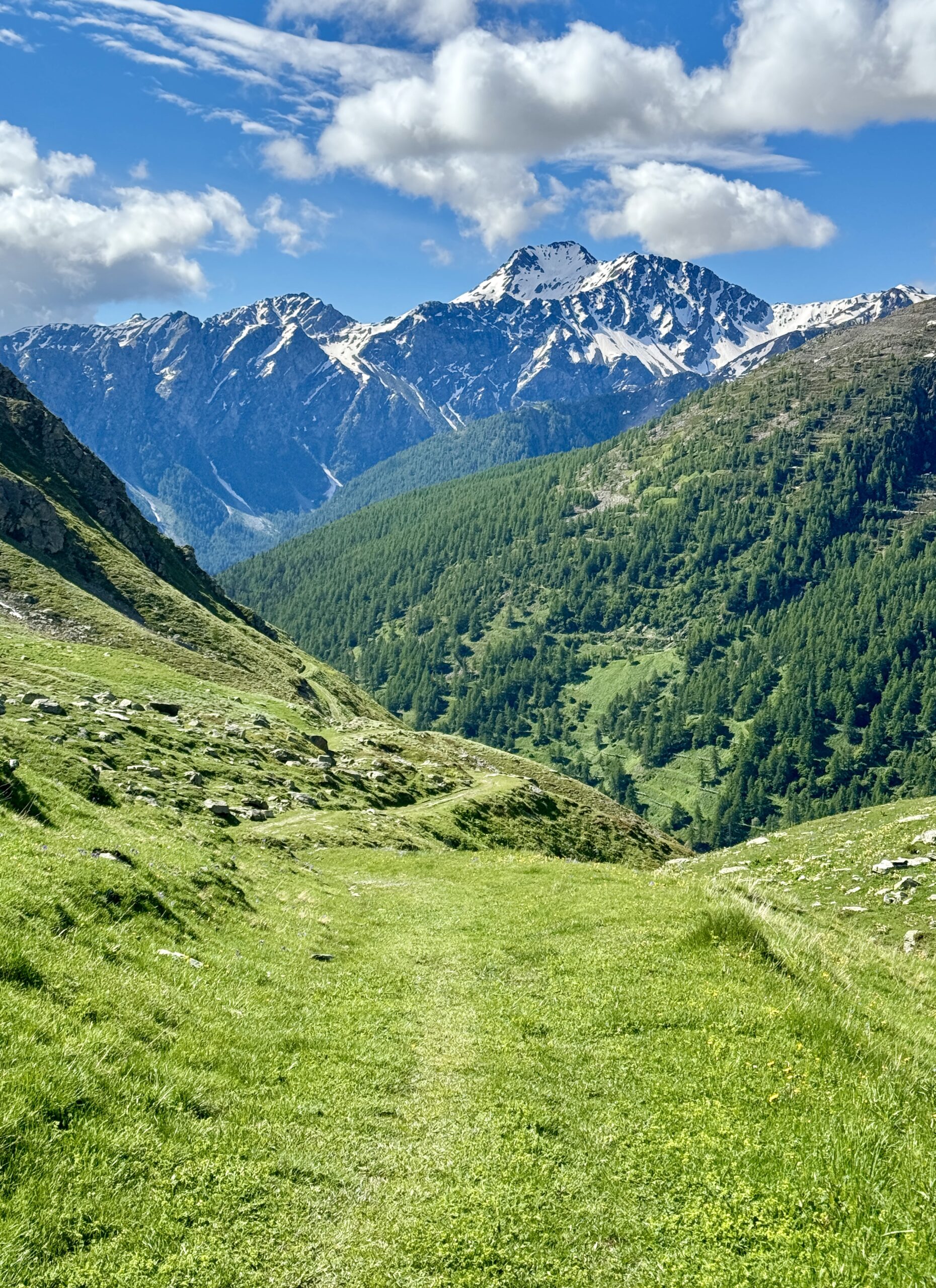
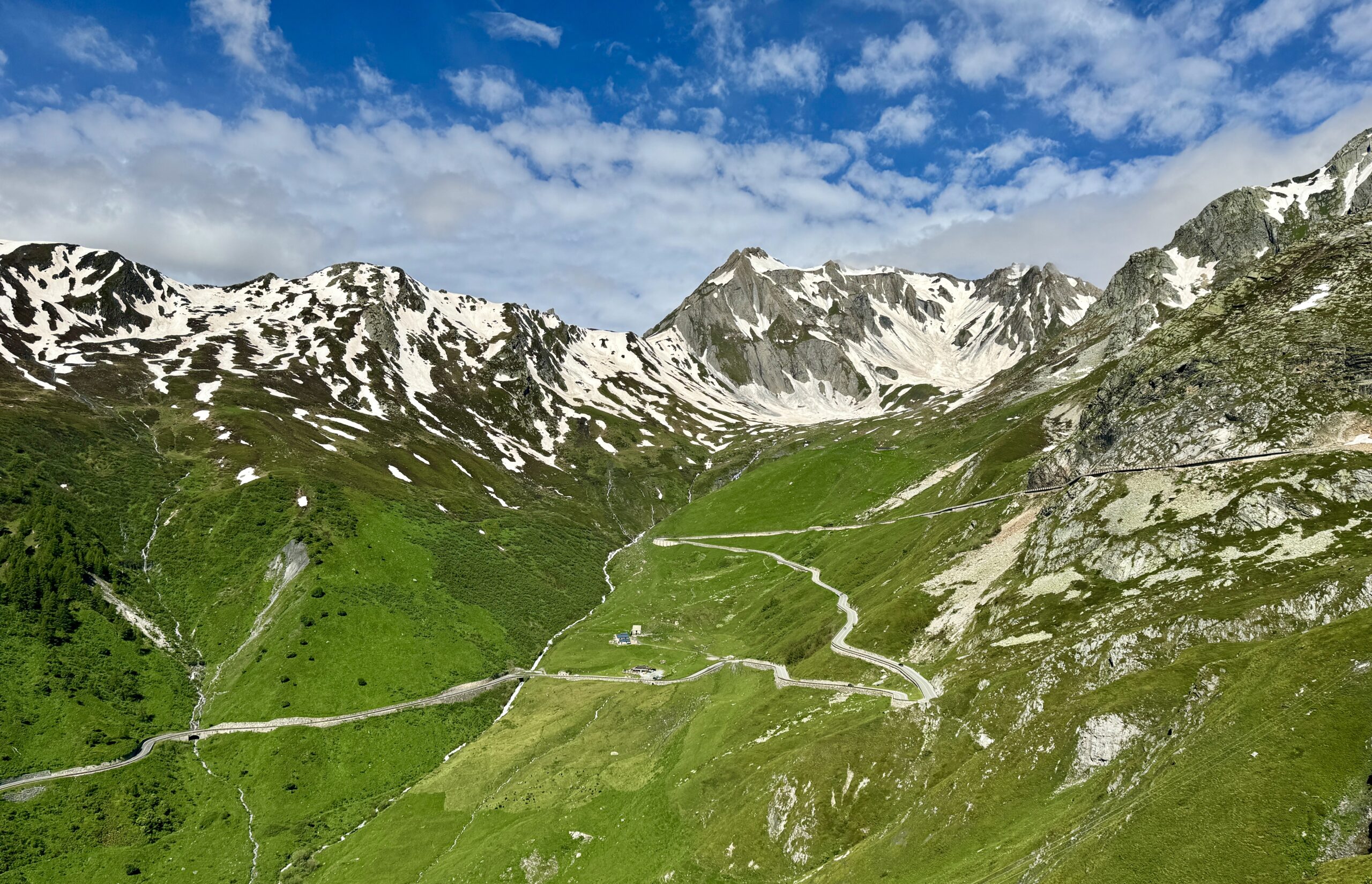
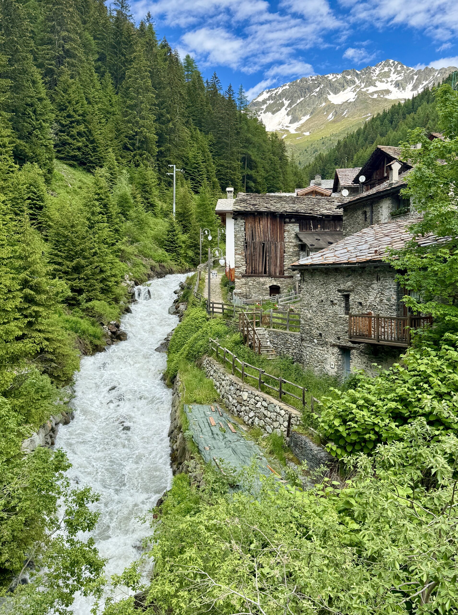
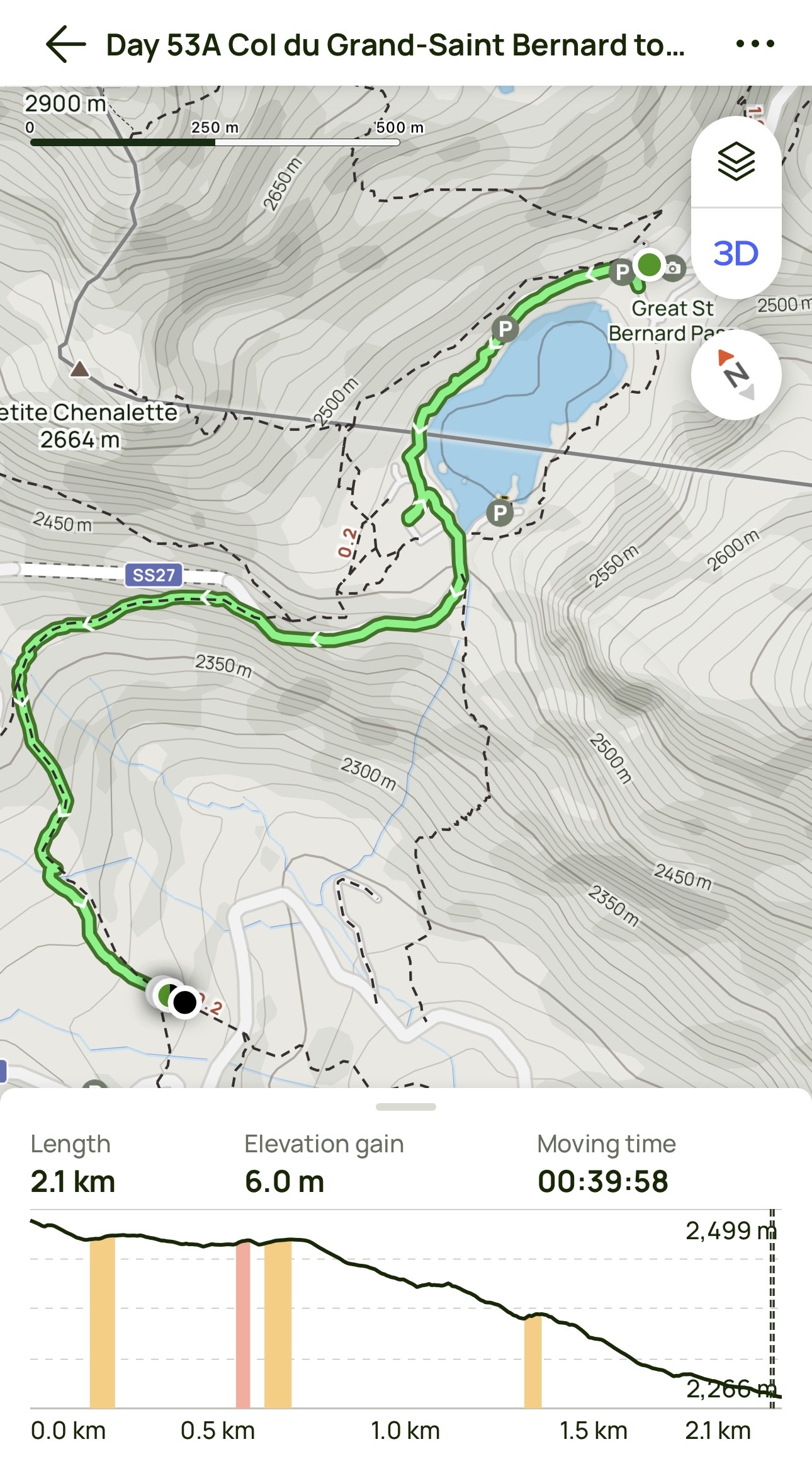
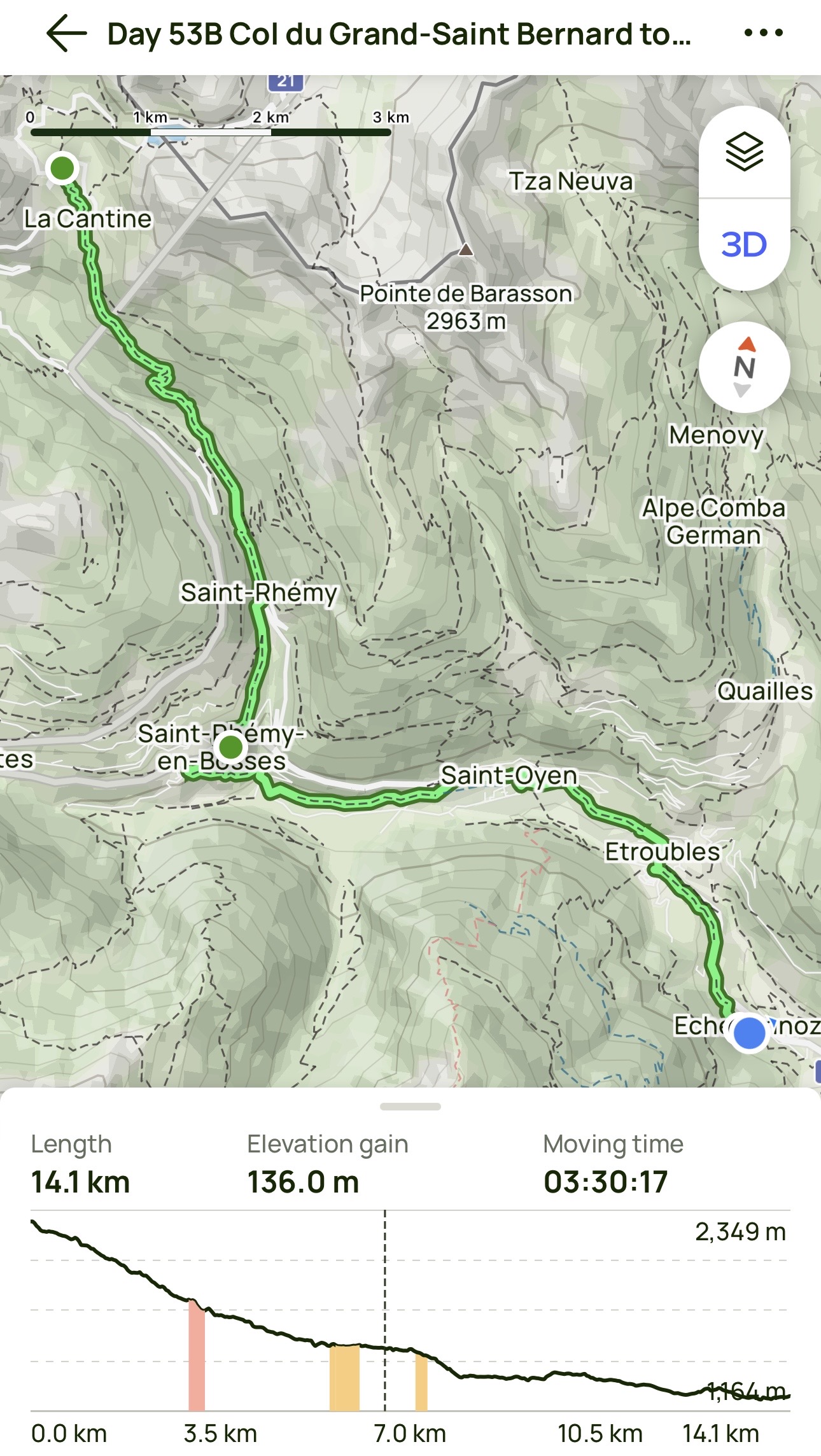
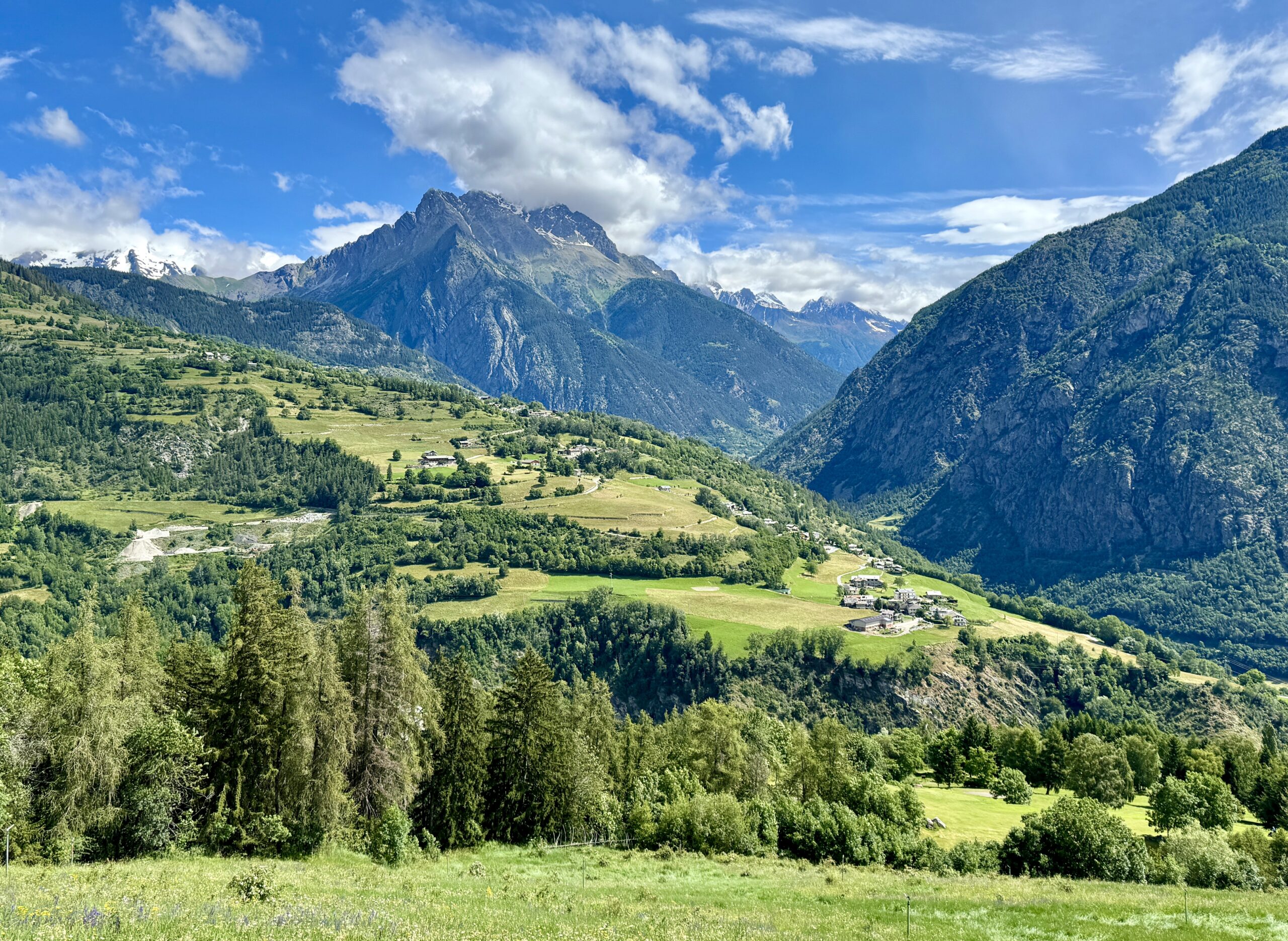
Today was all downhill – and a long way down at that. The AllTrails app doesn’t track descent, but my destination town is 1,223 meters (4,012 feet) below the Col (Somehow the app says I climbed 142m / 466 feet somewhere along the way, but I honestly can’t remember going up anywhere all day.)
The weather was ideal – blue skies and comfortable temperatures throughout the hike. The predicted afternoon rain started, but not until I was comfortably checked into my lodging, nearly 4 km beyond where I thought I was staying. (That will make tomorrow’s walk into the iconic Aosta Valley that much shorter!)
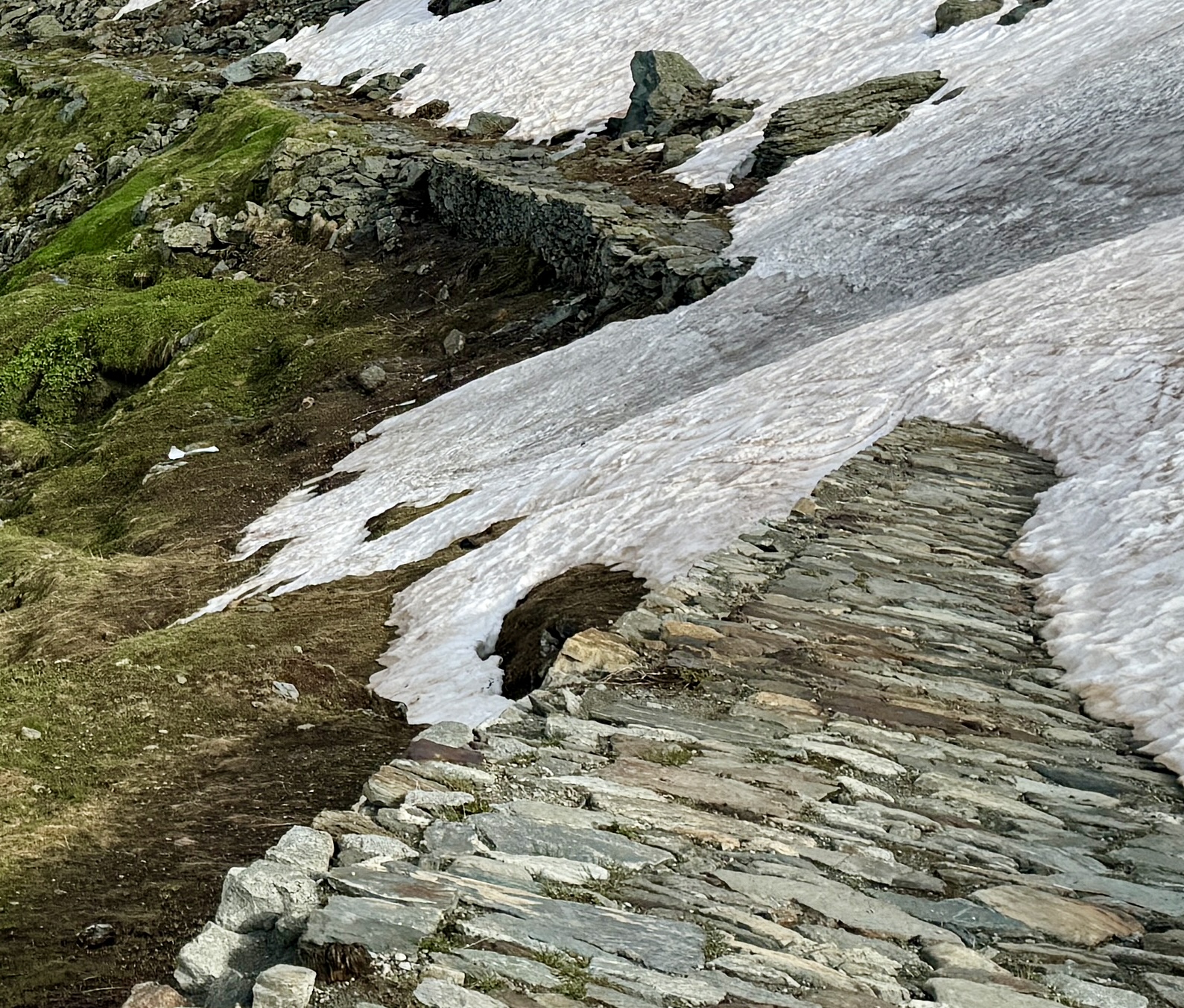
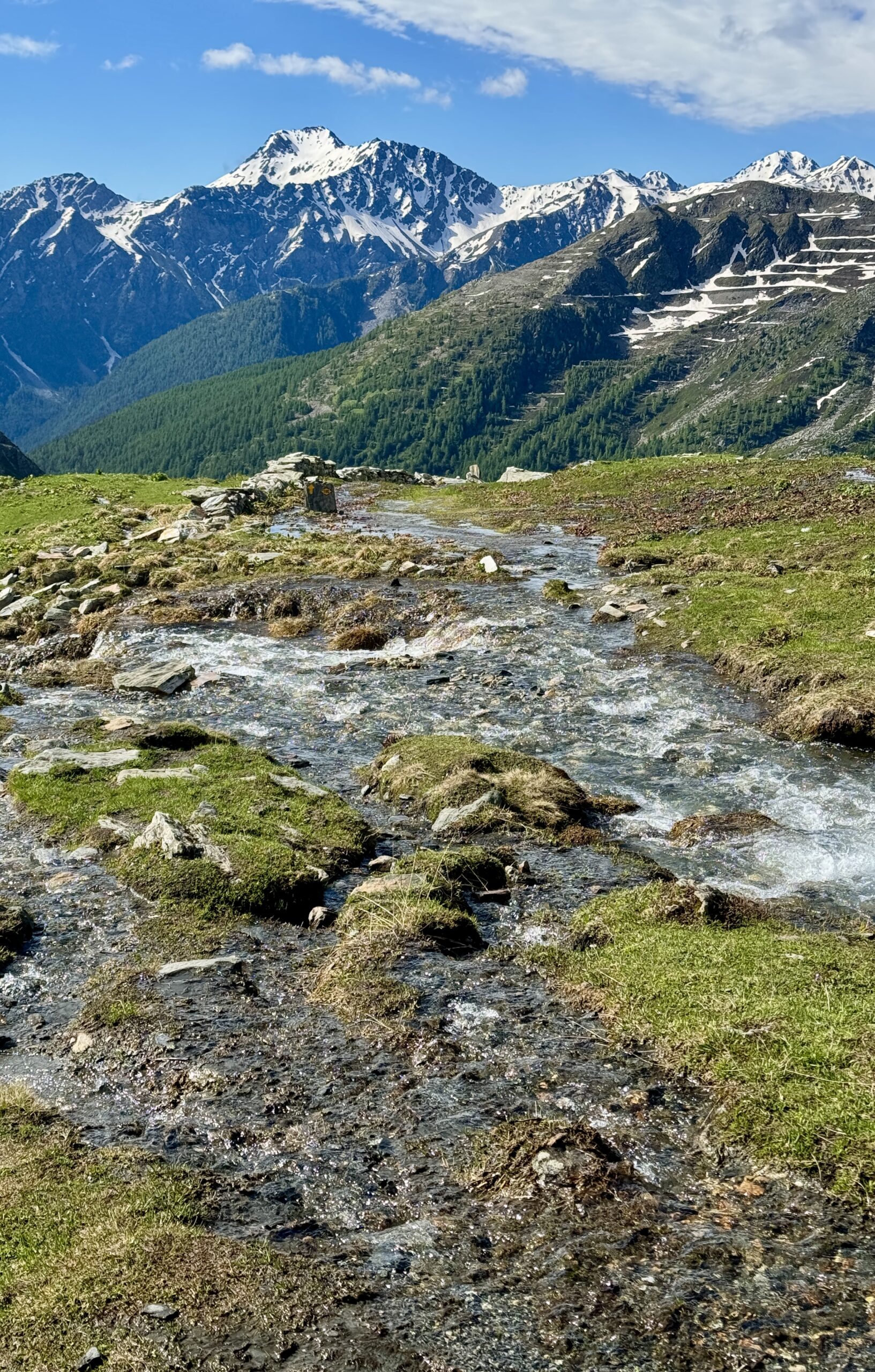
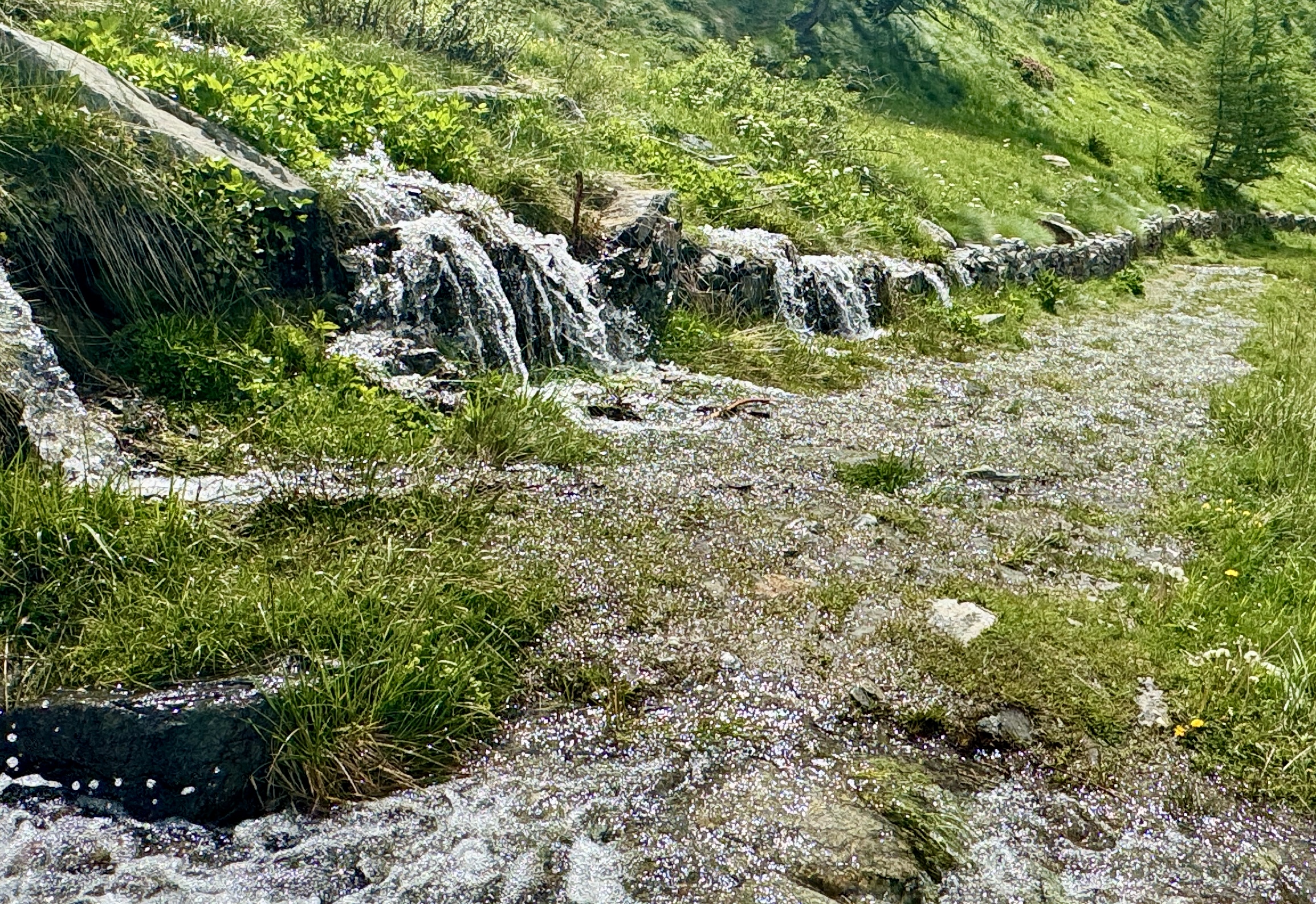
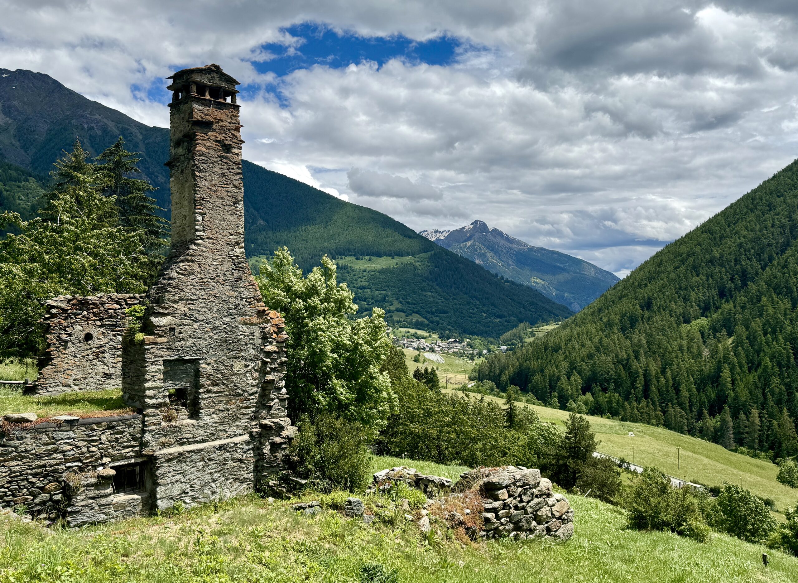
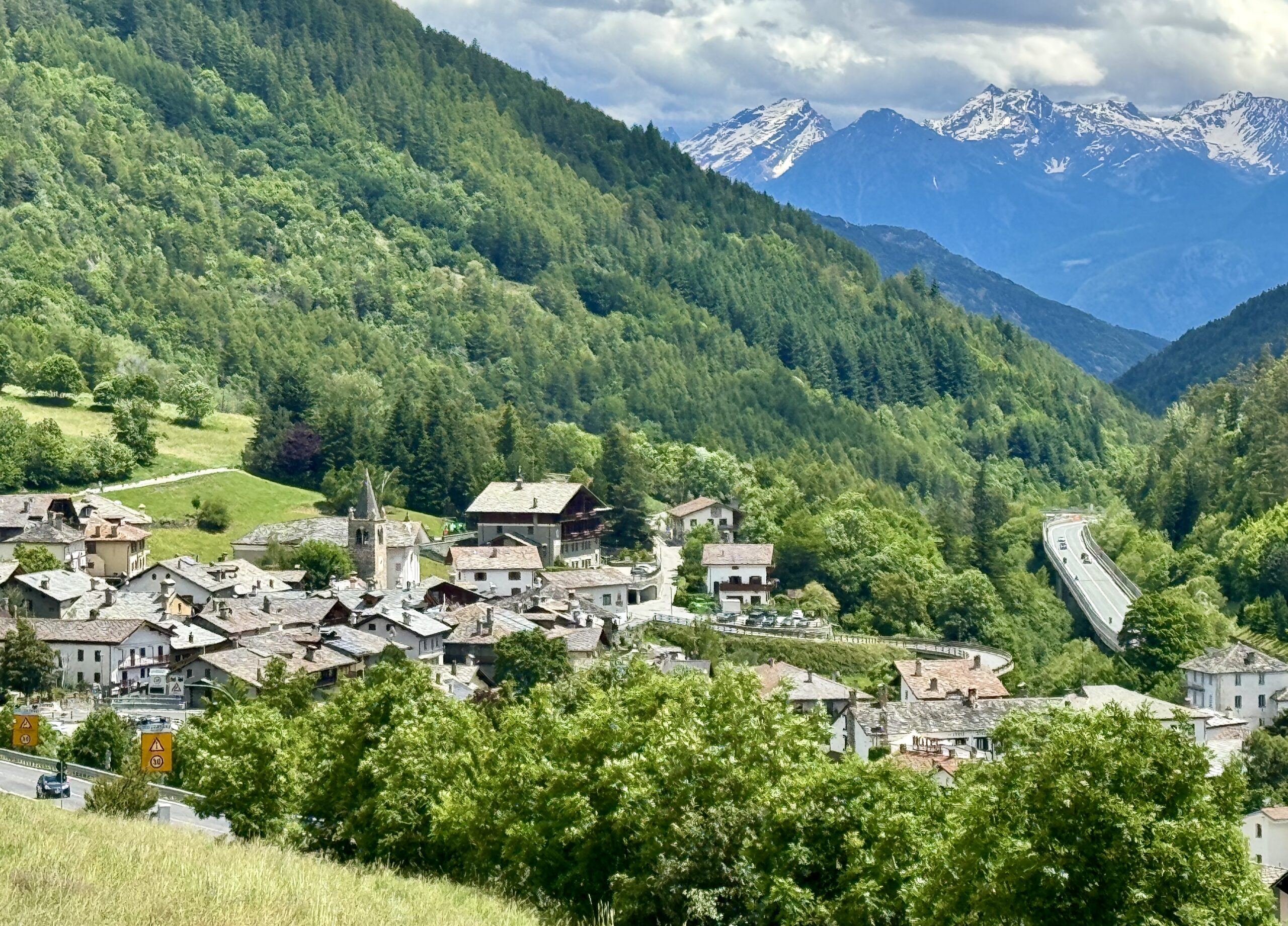
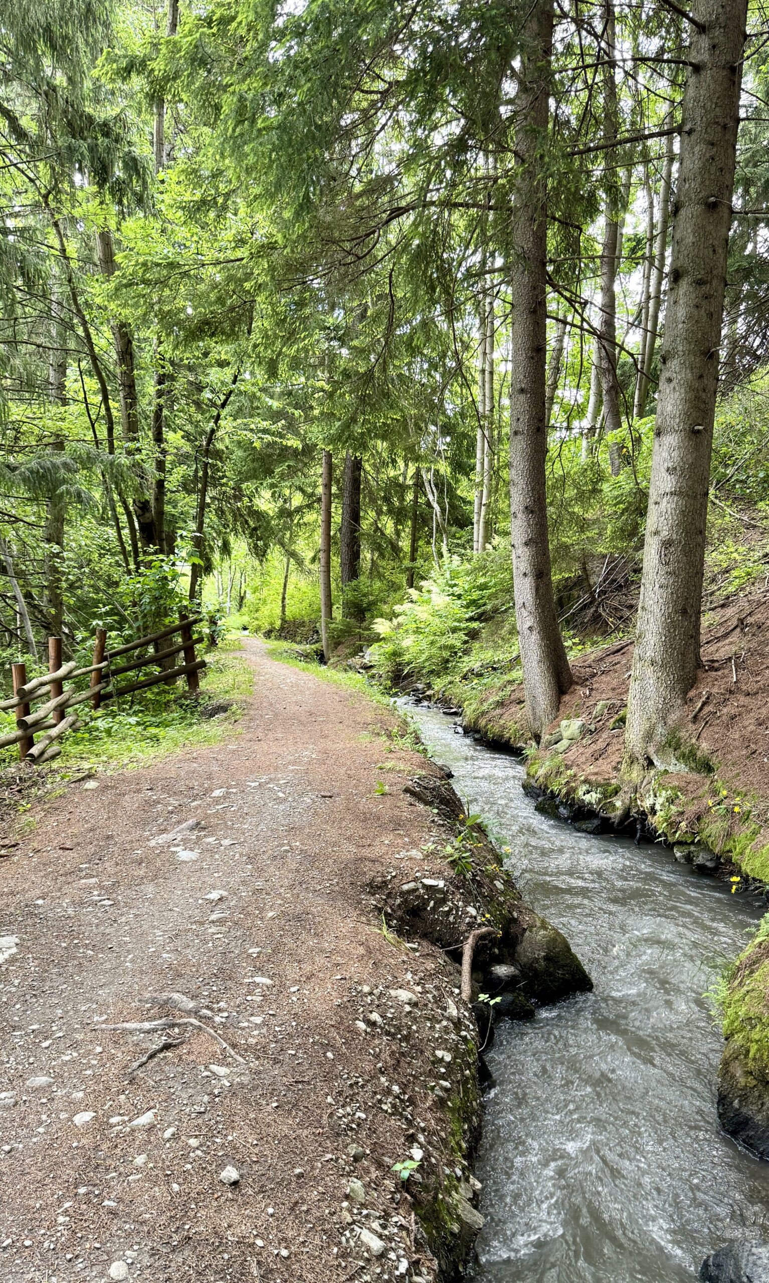
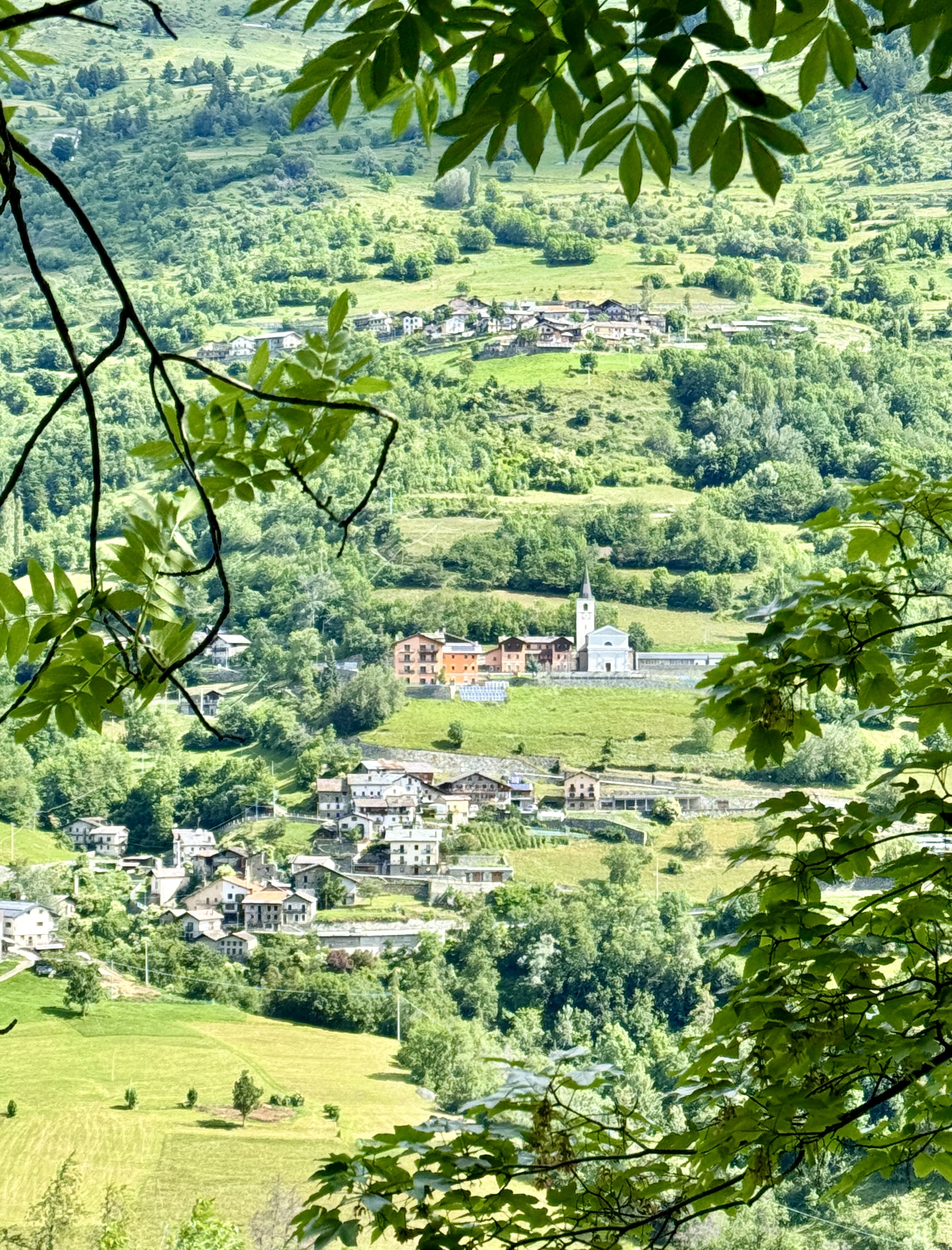
I walked along the road to avoid steep, icy snow patches for the first 1 km, but stayed on the official route for the rest of the way, despite crossing snow patches here and there. The photos and videos, in a 360-degree panorama, can illustrate the day better than I can describe it (Note how often the recent rain has turned the trail into waterways!)
As a former business consultant, I was intrigued by one of Saint Bernardo‘s ancient foundational beliefs: “The key to good hospitality is… clean toilets!”
So true!
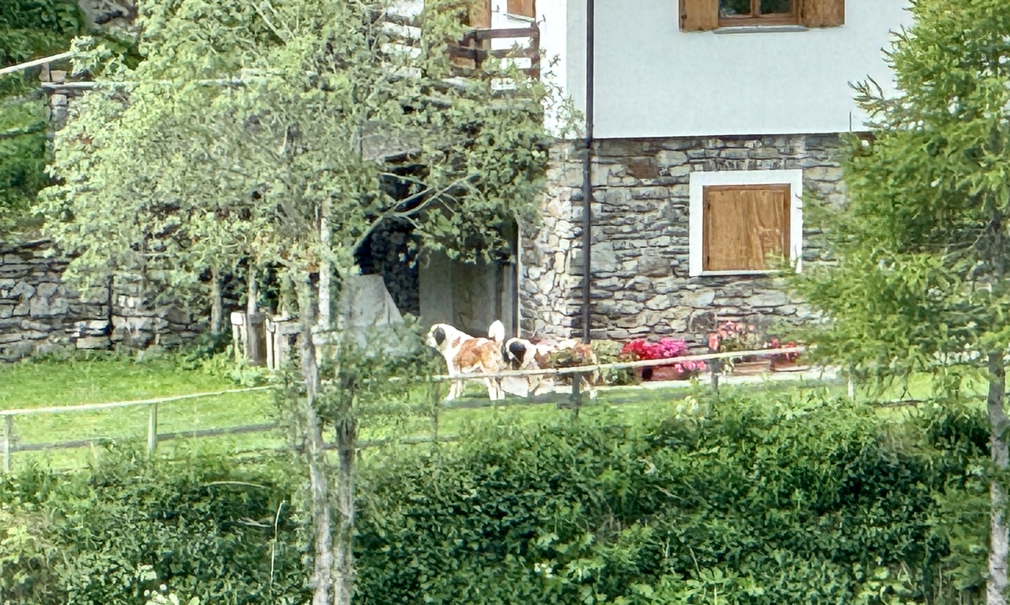
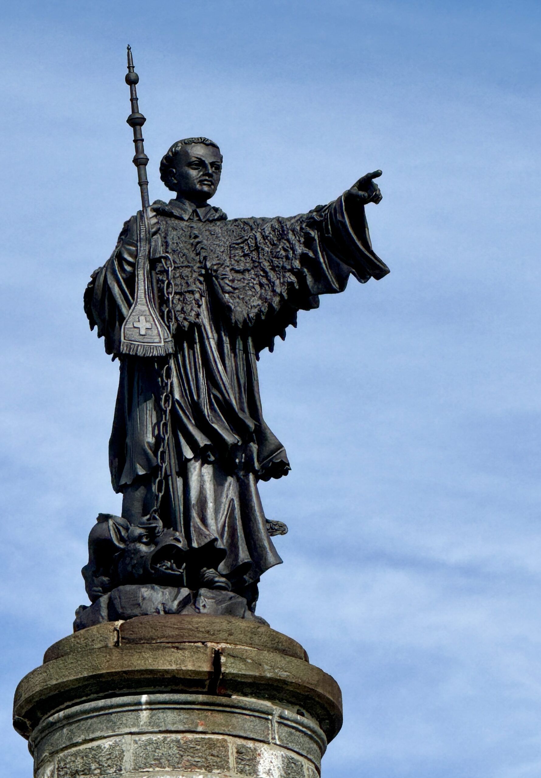
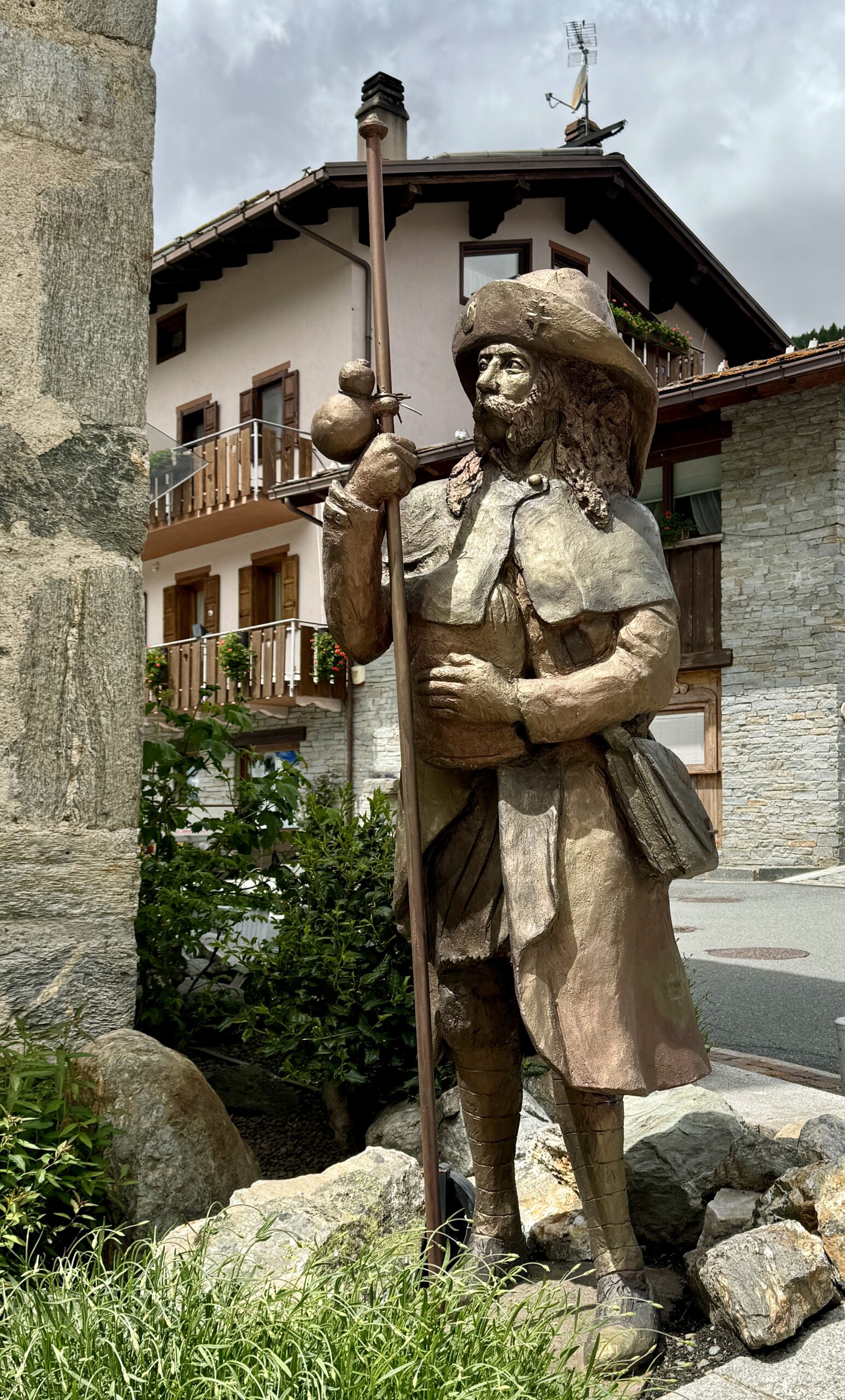
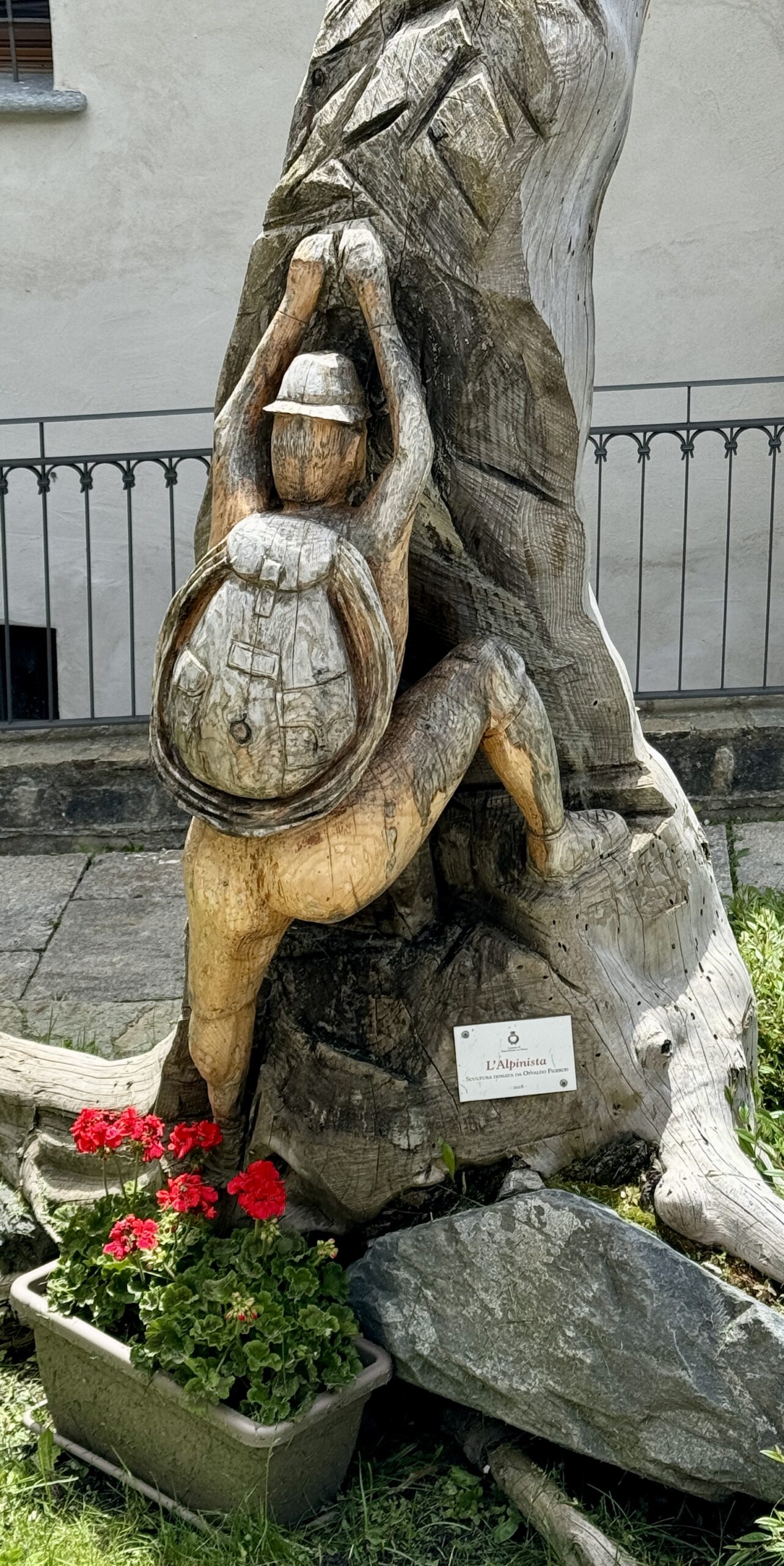
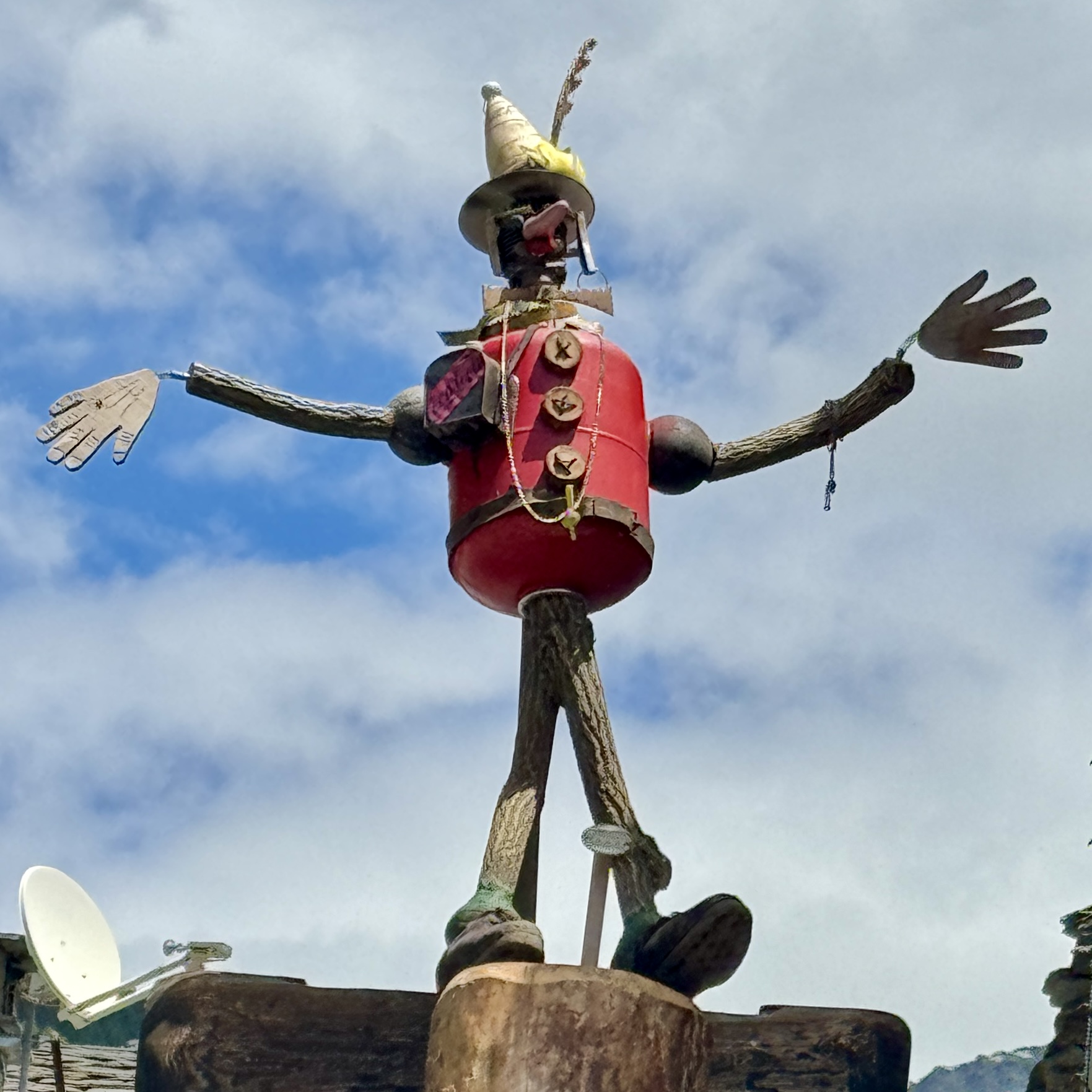
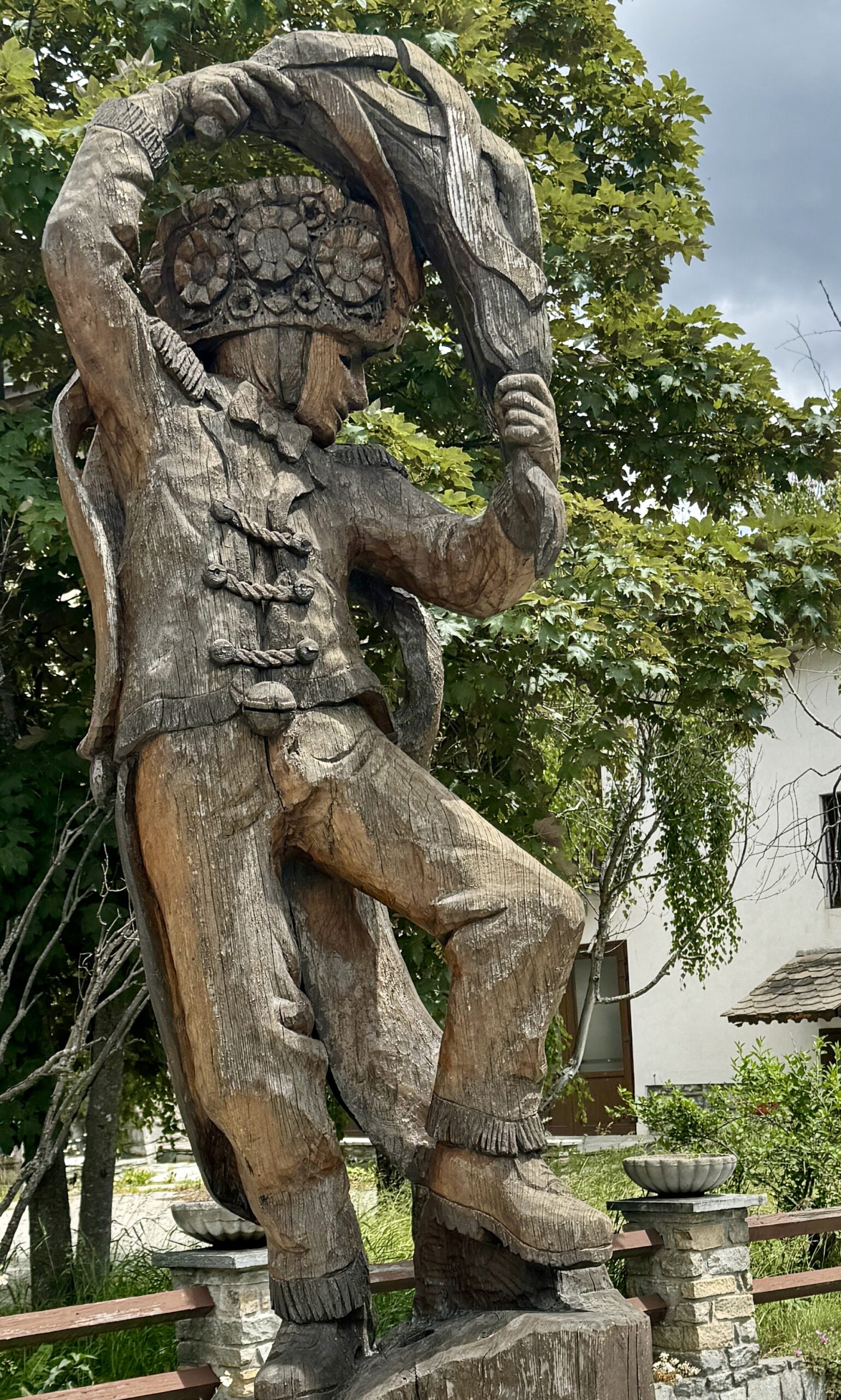
Public Art
Day 53 AllTrails Stats
Distance: 16.1 km / 10.0 miles
Elevation Gain: 142 m / 466 feet
Steps: 25,905
Relive: https://www.relive.cc/view/vYvE2VG8NwO
Accommodation: Affittacamere L’Abri, Echevennoz Dessus (near Étroubles)
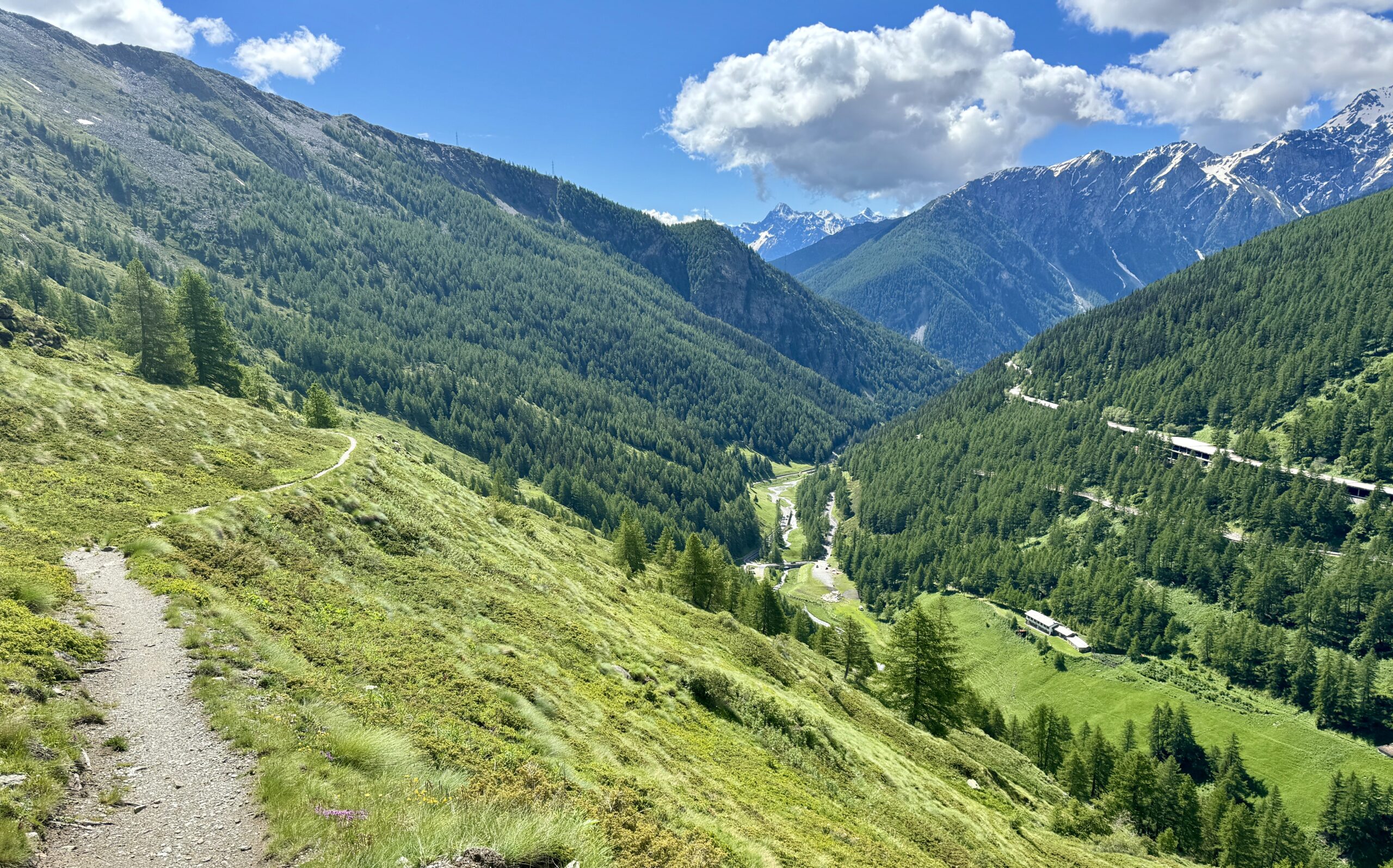
Day 54 Echevennoz Dessus to Aosta
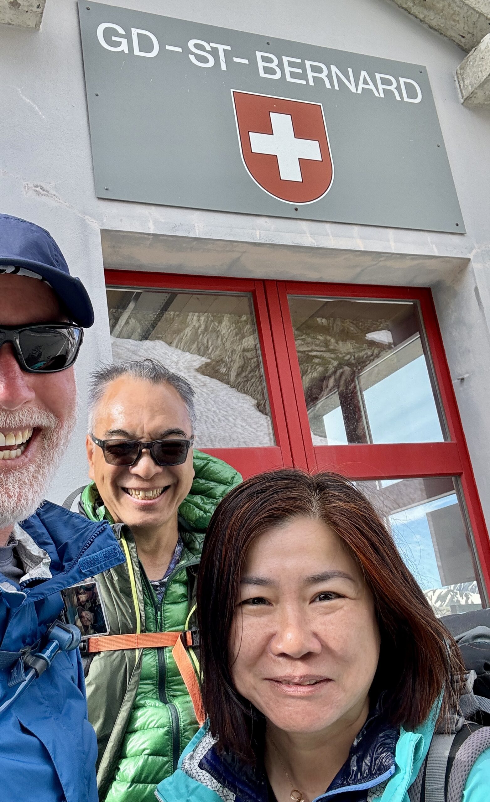
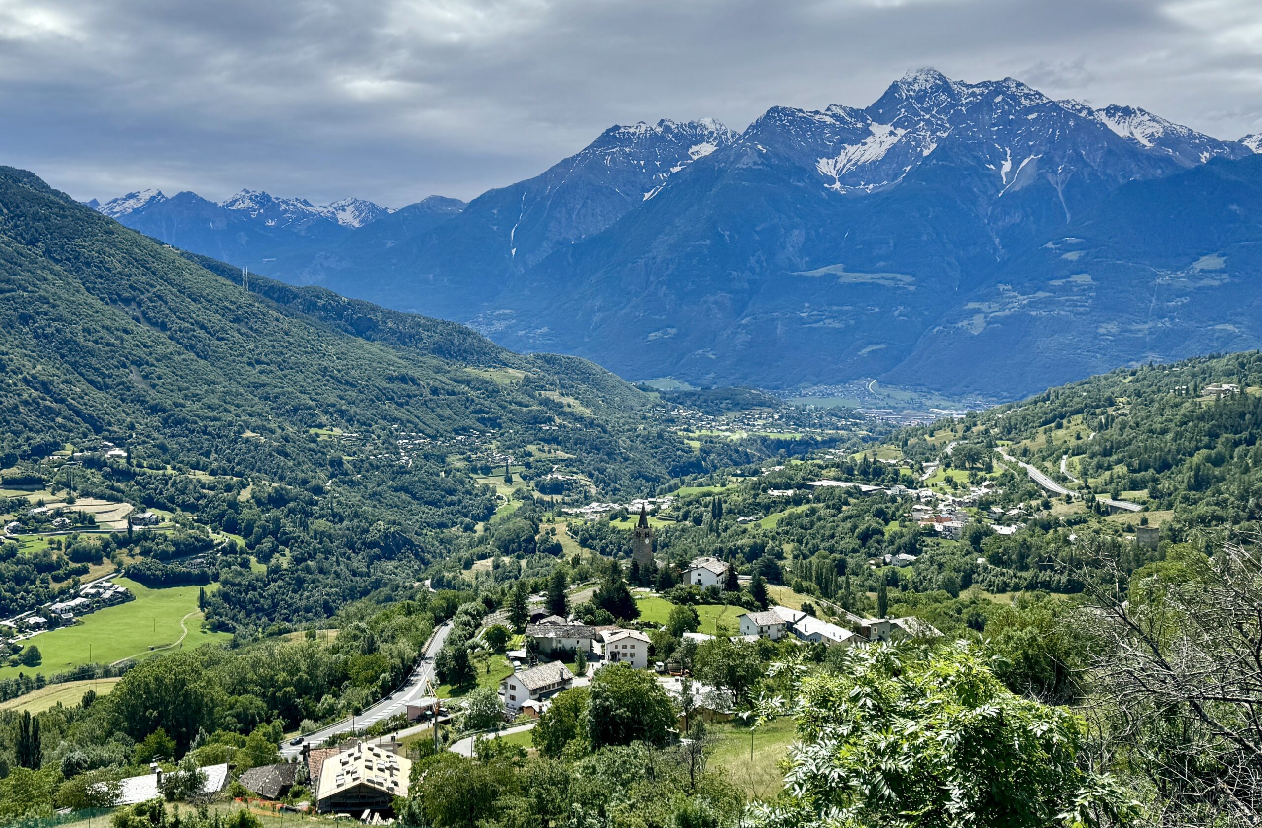
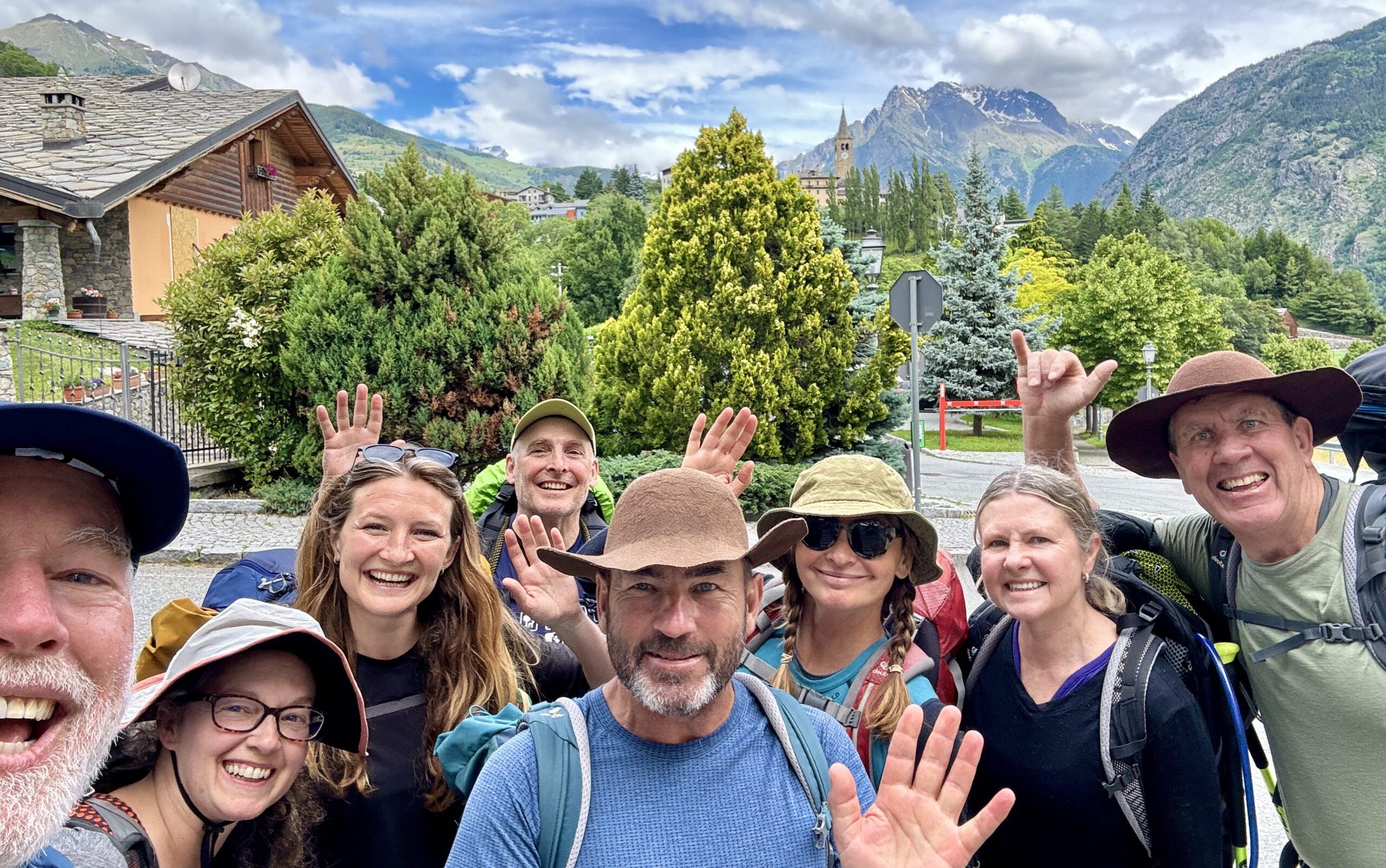
Today was a very relaxing day of walking down into the Aosta Valley, mostly with friends I made on the climb up and over the Col in the past week. Some of them end their walks here or soon, so we’ll have a celebratory dinner tonight and say our goodbyes. After a rest day tomorrow to enjoy this historic town, I’ll be alone again as I walk further down the valley and into the flatlands of northern Italy.
This country is much more aware of and supportive of VF pilgrims. Even though there is rain in the forecast, I expect to see more walkers than I saw in France and Switzerland – particularly if the temperatures warm up but aren’t too hot.
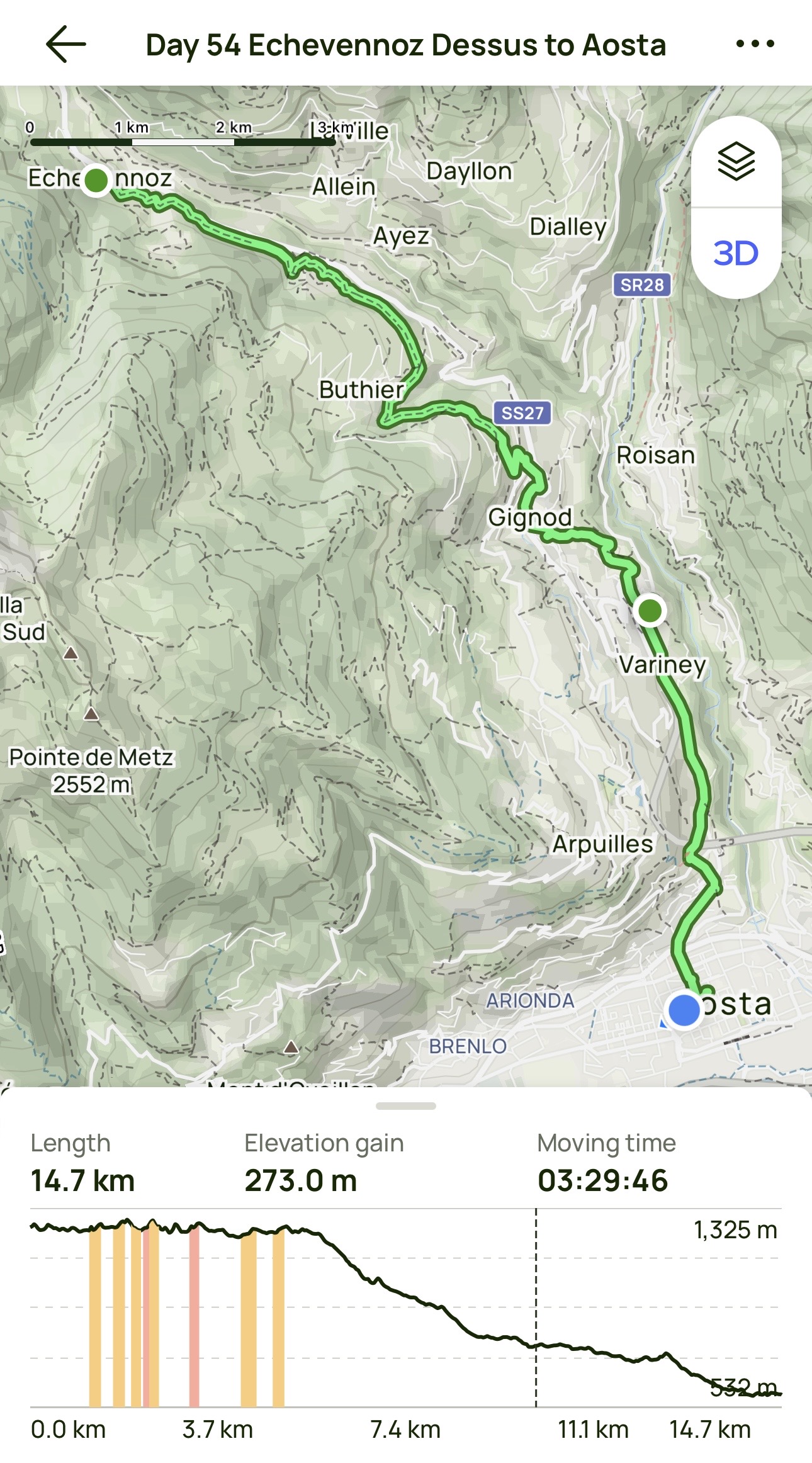
Day 54 AllTrails Stats
Distance: 14.8 km / 9.2 miles
Elevation Gain: 273 m / 896 feet
Steps: 23,499
Relive: Sorry – none today.

Yes, you’re right! That is Dirk sitting next to me – good eye! We overlapped yesterday for the first time since our dinner in Langres 3½ weeks ago. Countries represented last night were New Zealand, Australia, Belgium, and the US. As solo walkers, Dirk and I agreed that it’s wonderful to experience the infrequent social side of the Via Francigena:
The longer I live, the more deeply I learn that love – whether we call it friendship or family or romance – is the work of mirroring and magnifying each other’s light.
– James Baldwin
Everyone’s light shone brightly at dinner tonight!
Today’s hike put my walking distance on the Via Francigena at 1,199 km (745 miles) from Canterbury after 54 days of walking. Added to my time on The Pilgrims Way, that means 1,432 km (890 miles) in 68 days on foot so far this year. The blue dot is moving!

Days 1-54 AllTrails Cumulative Stats
Distance: 1,198.9 km / 745.0 miles
Average Daily Distance: 22.2 km / 13.8 miles
Elevation Gain: 25,696 m / 84,305 feet
Steps: 1,850,763
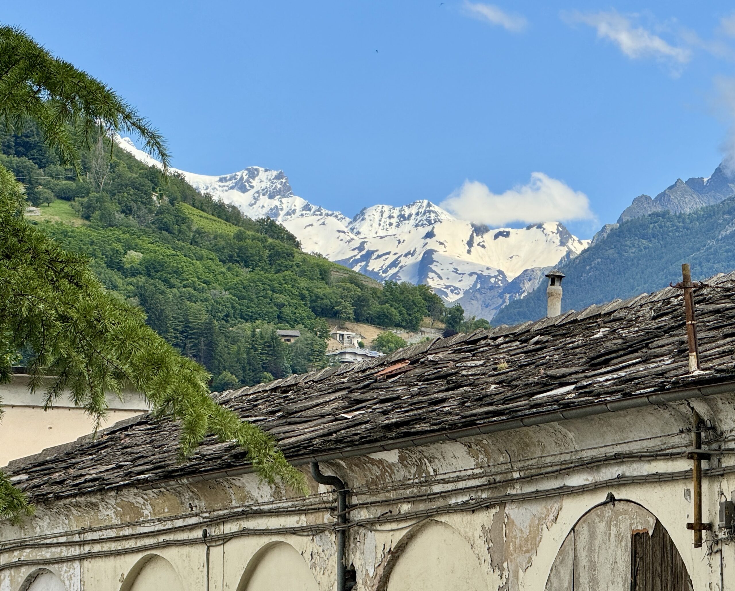
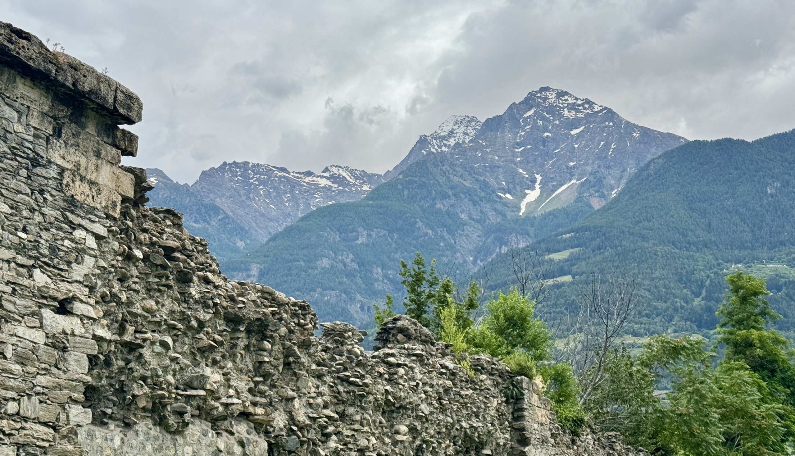
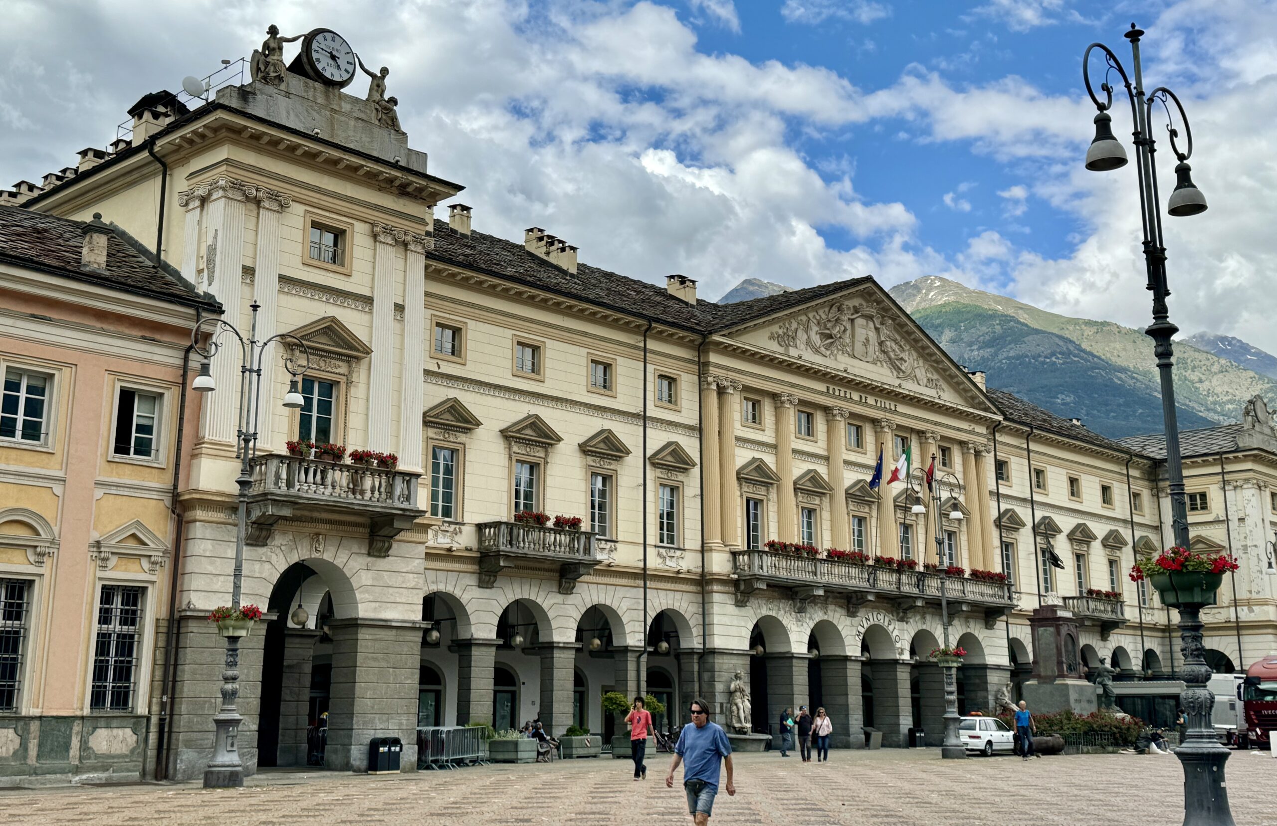
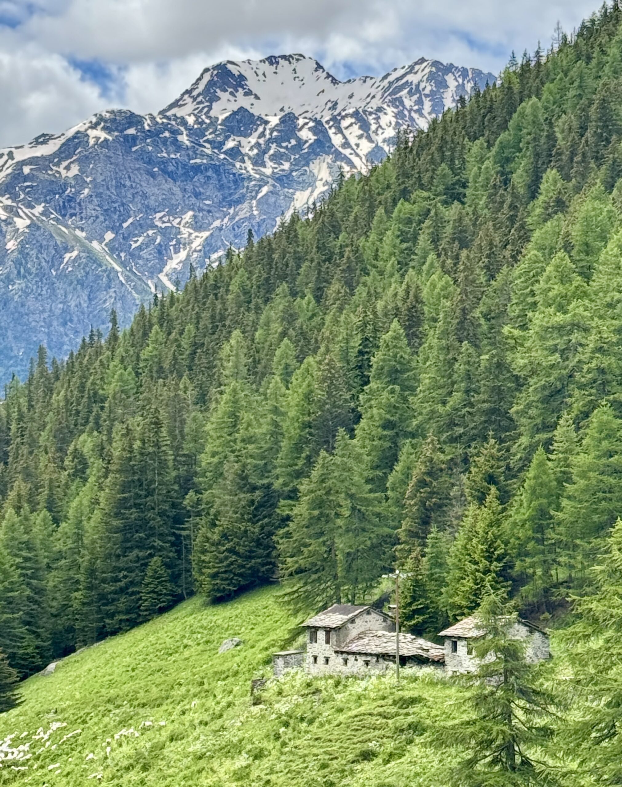
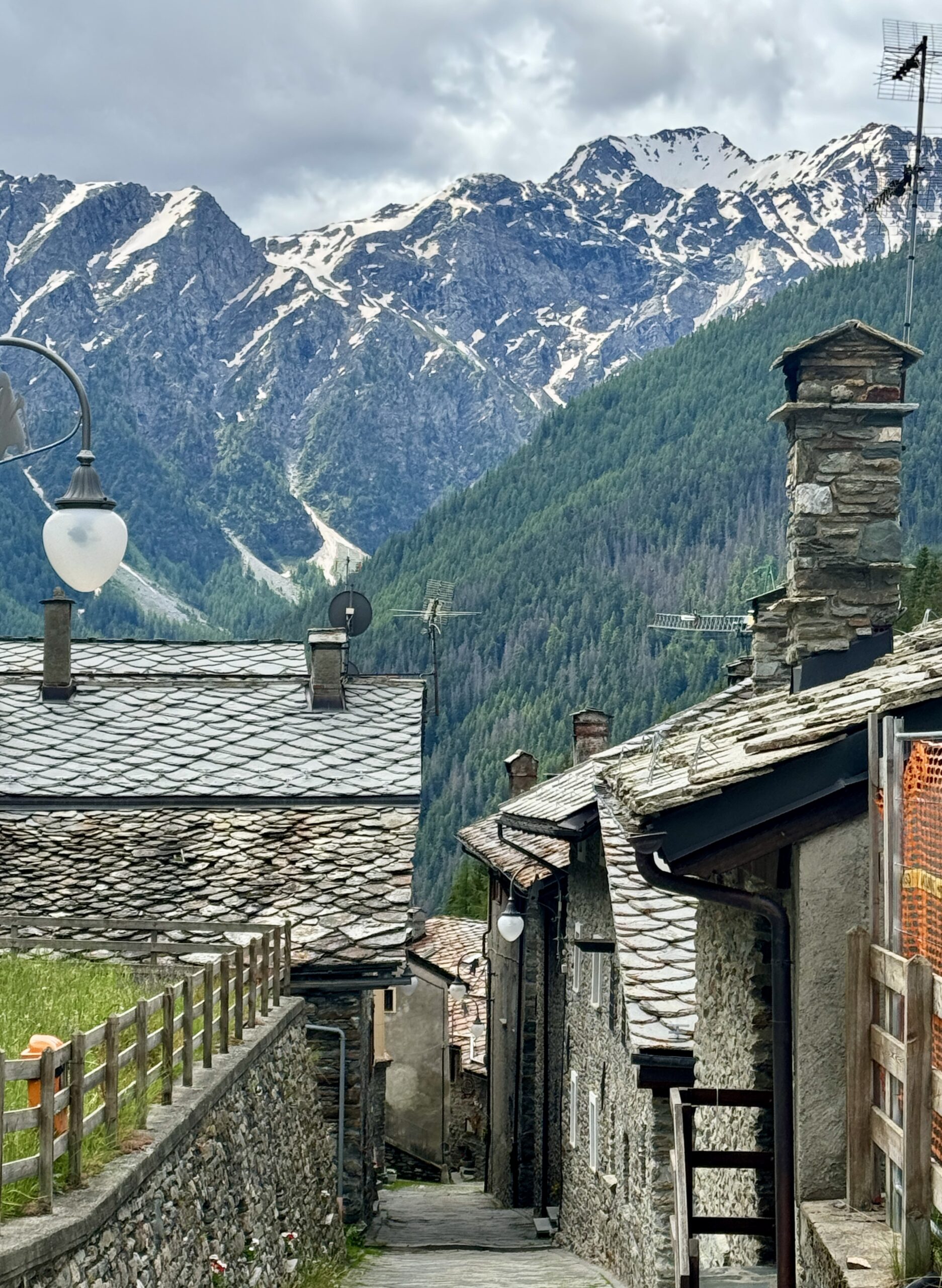
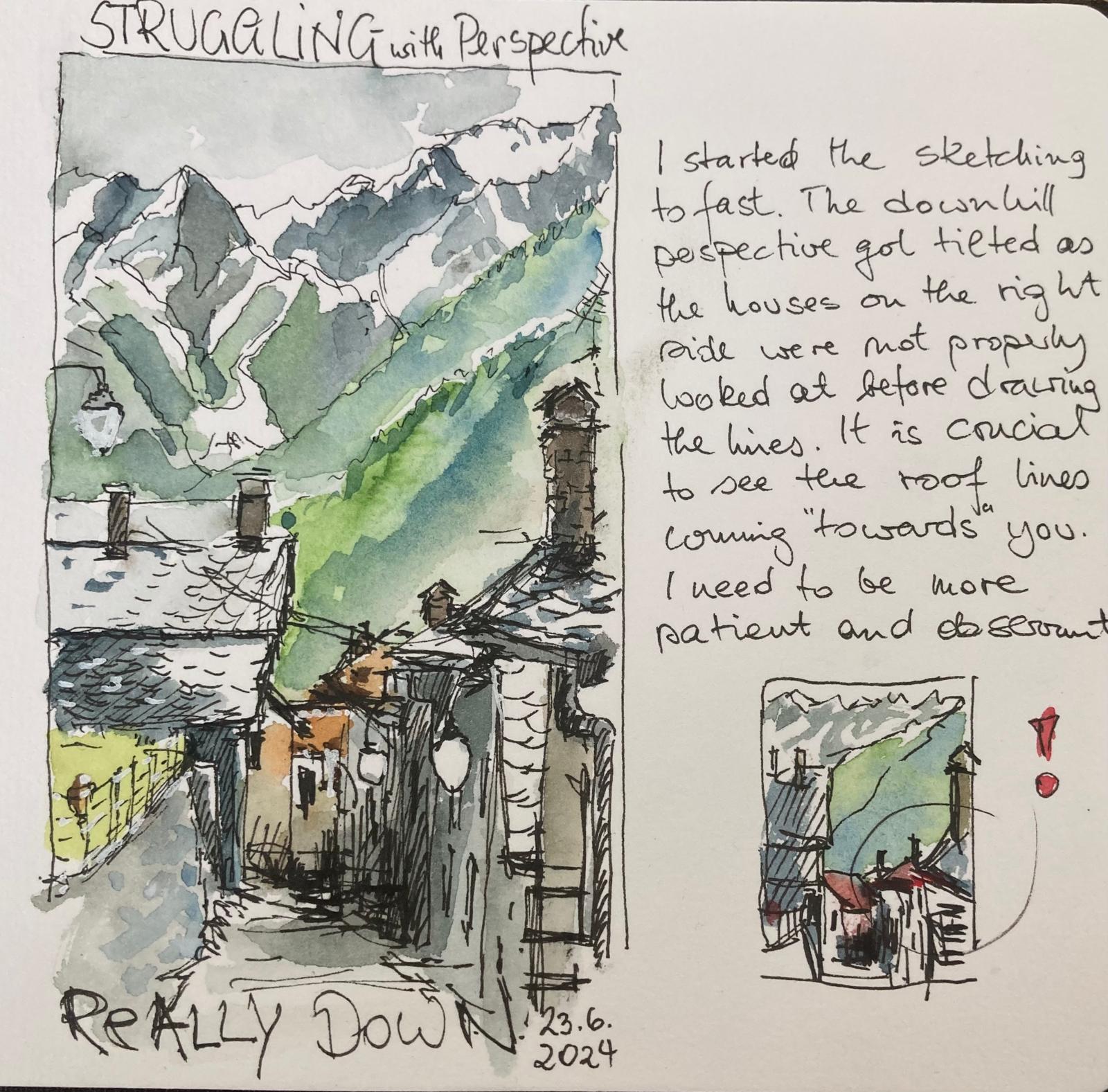
Rest Day: Aosta
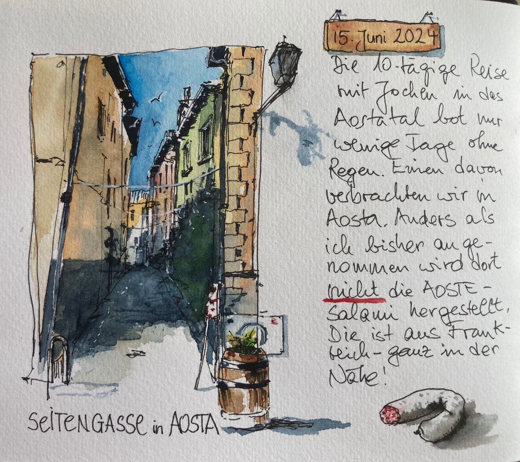
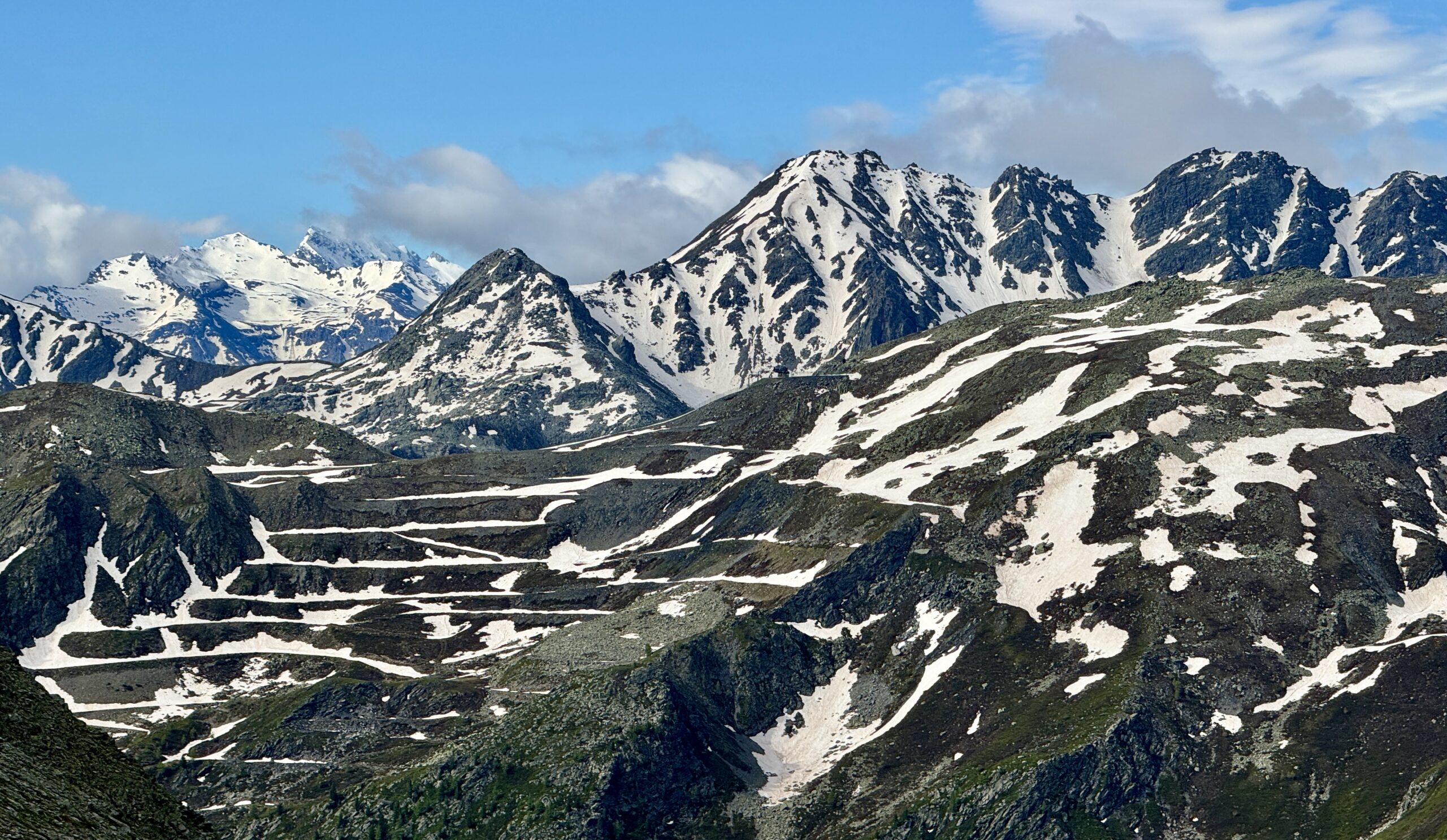
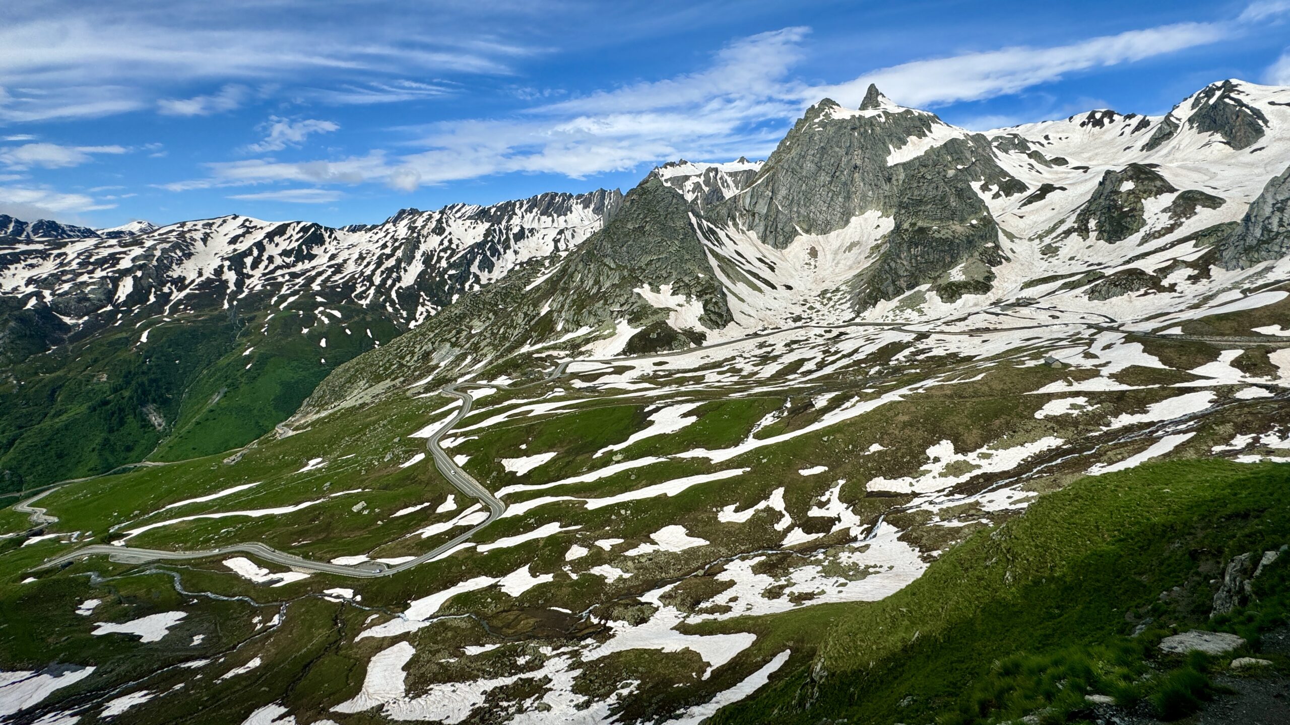
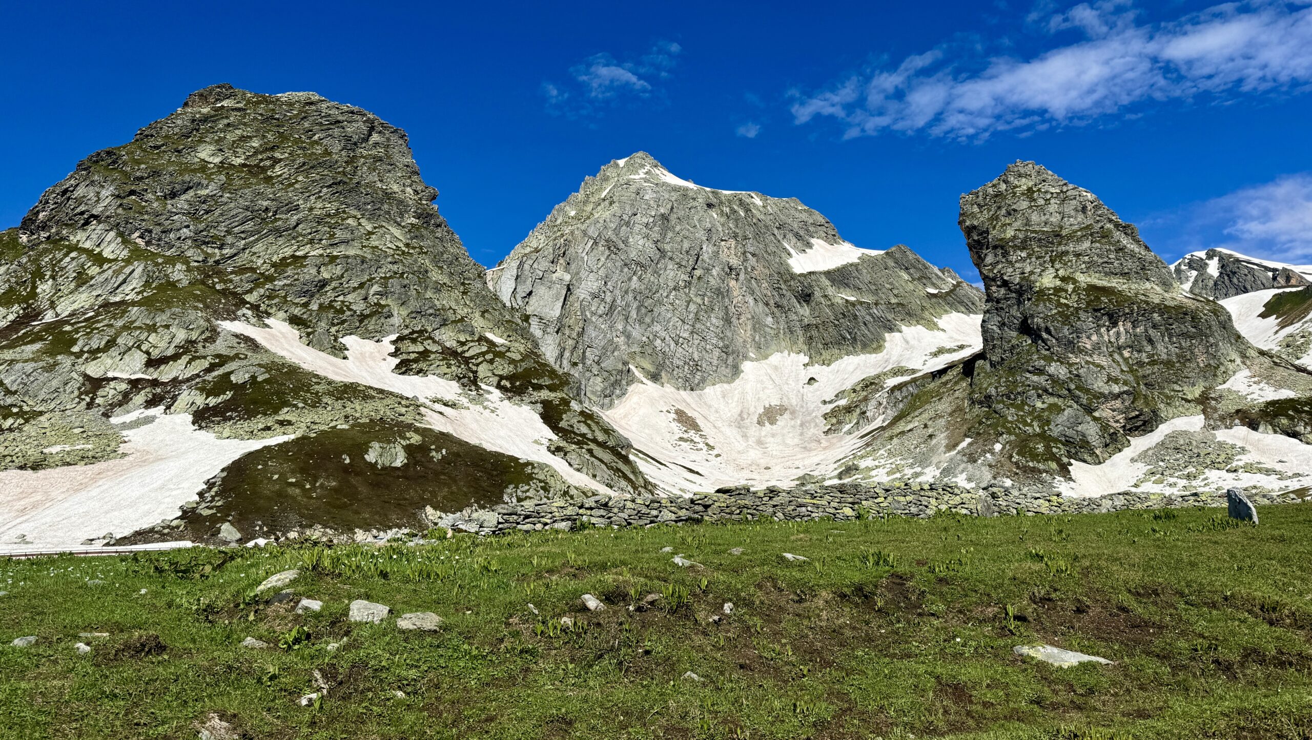
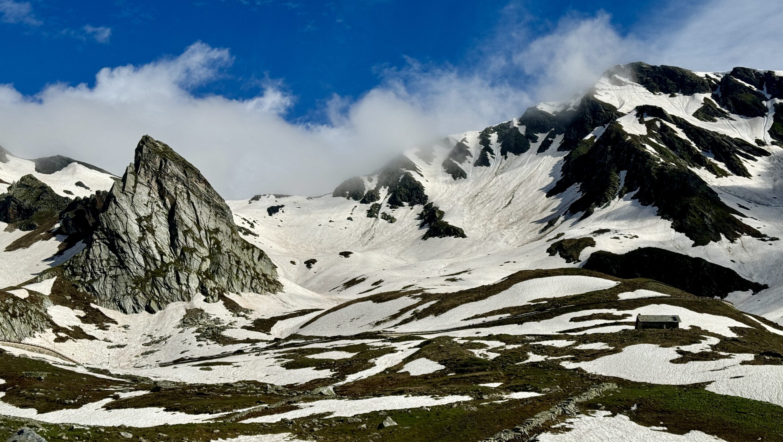
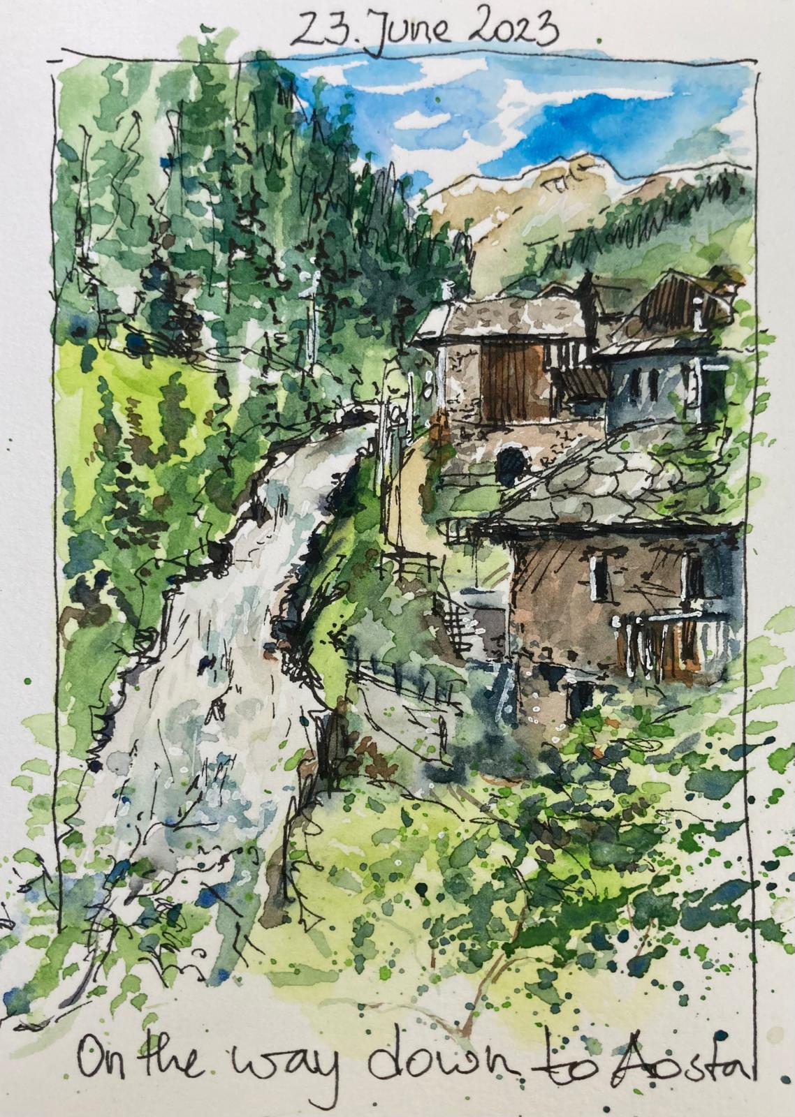
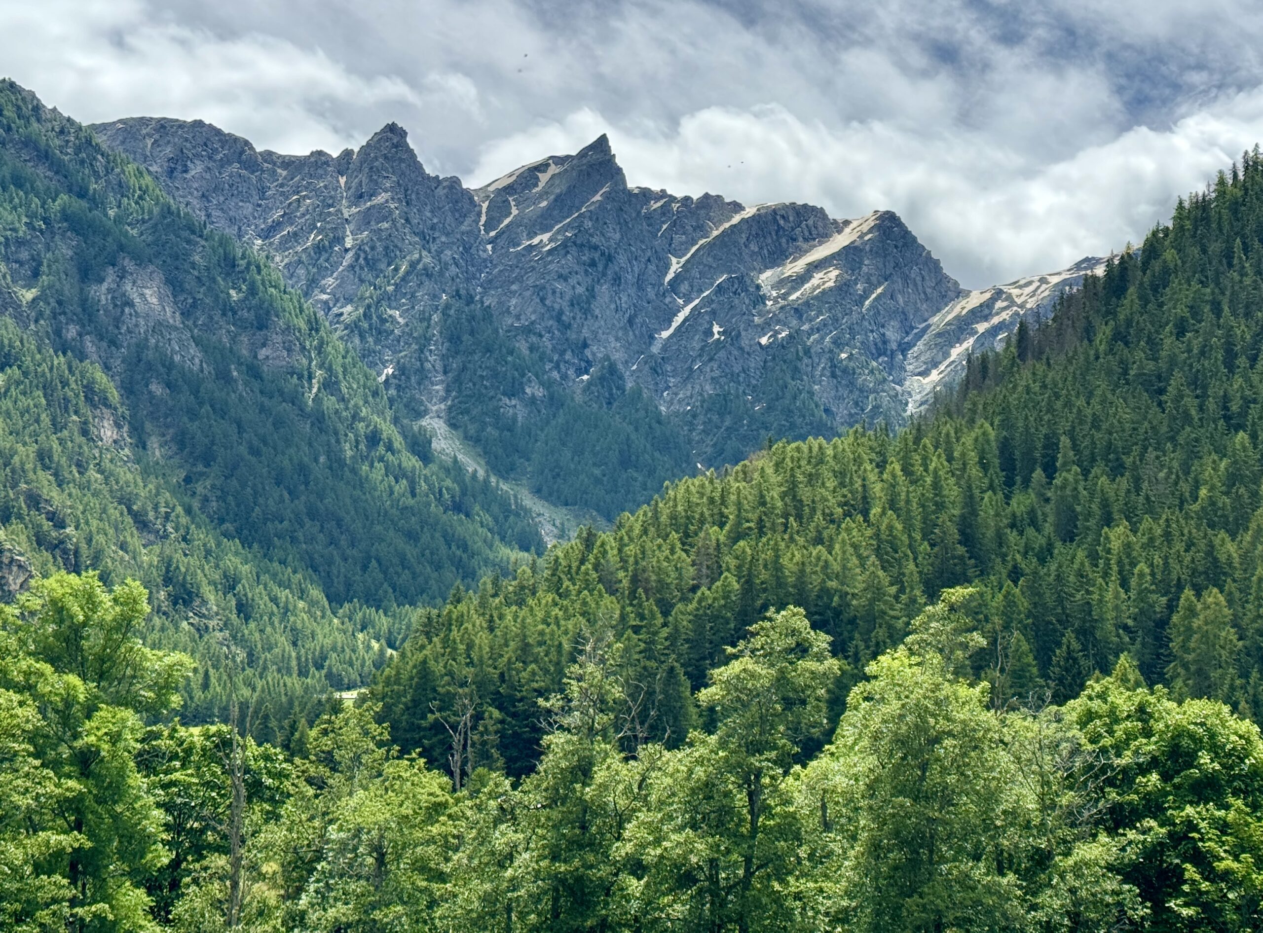
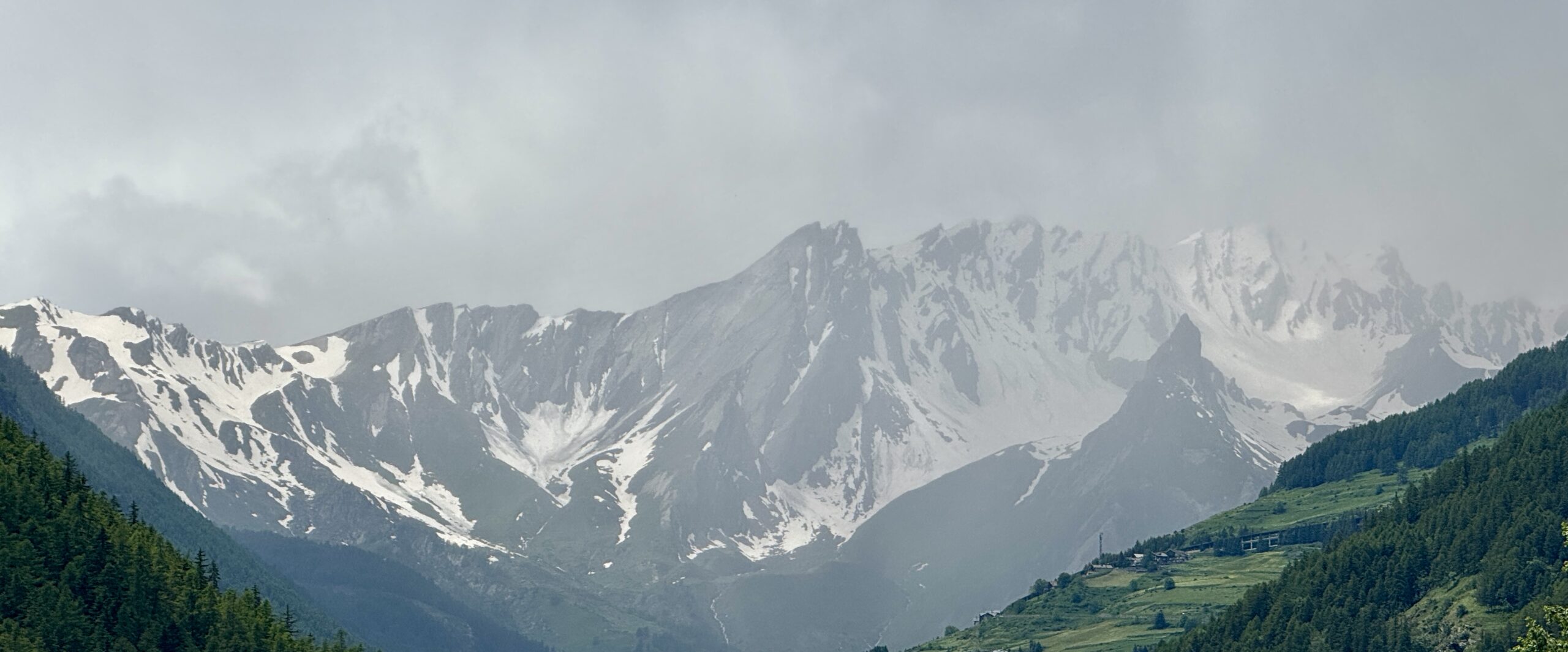
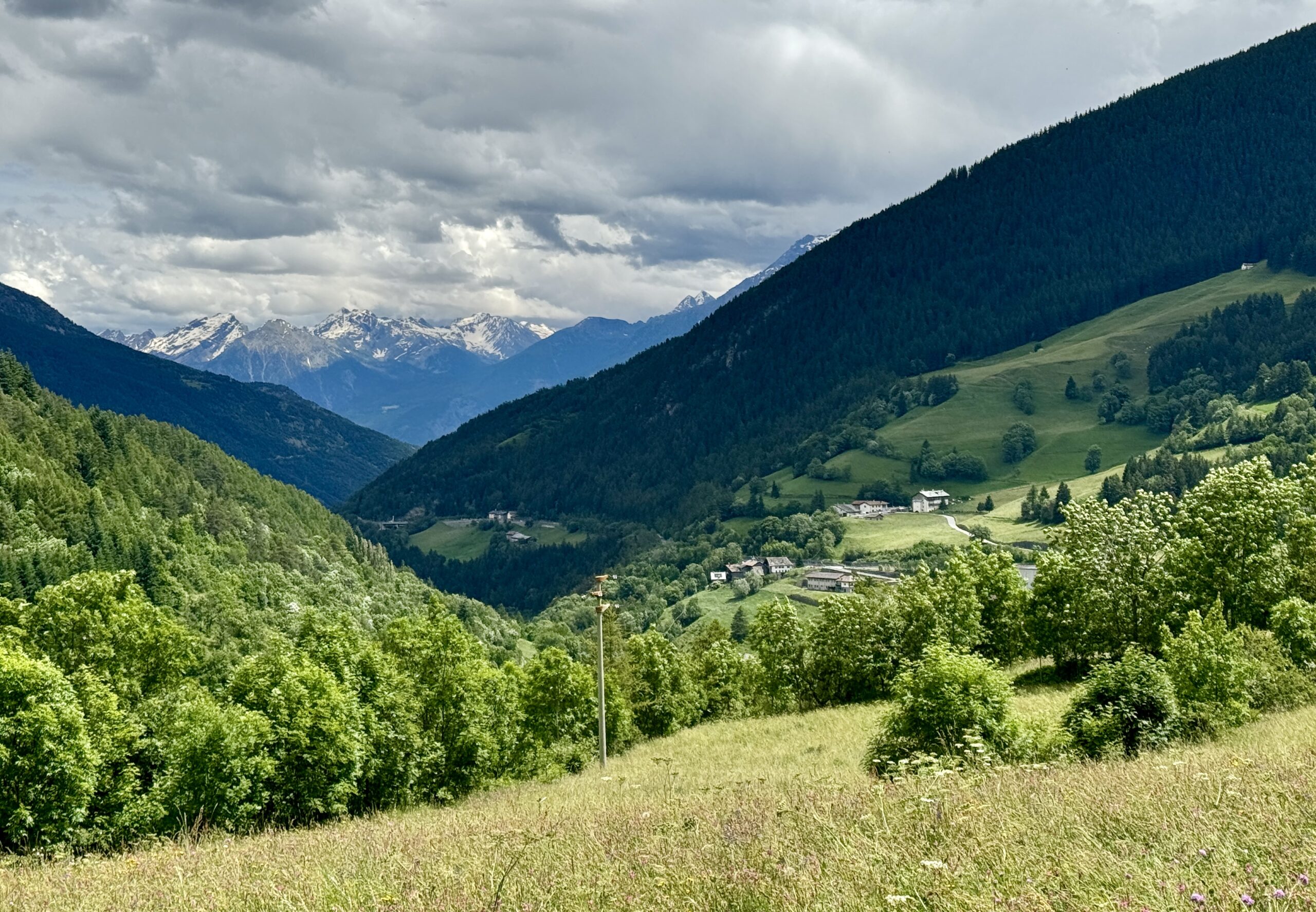
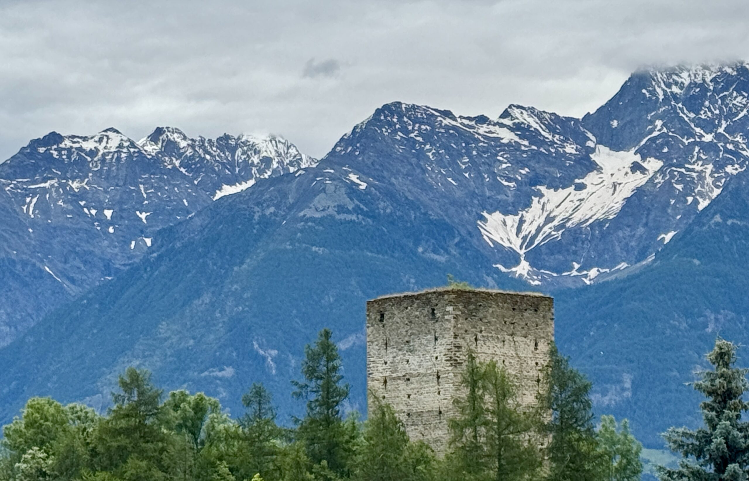
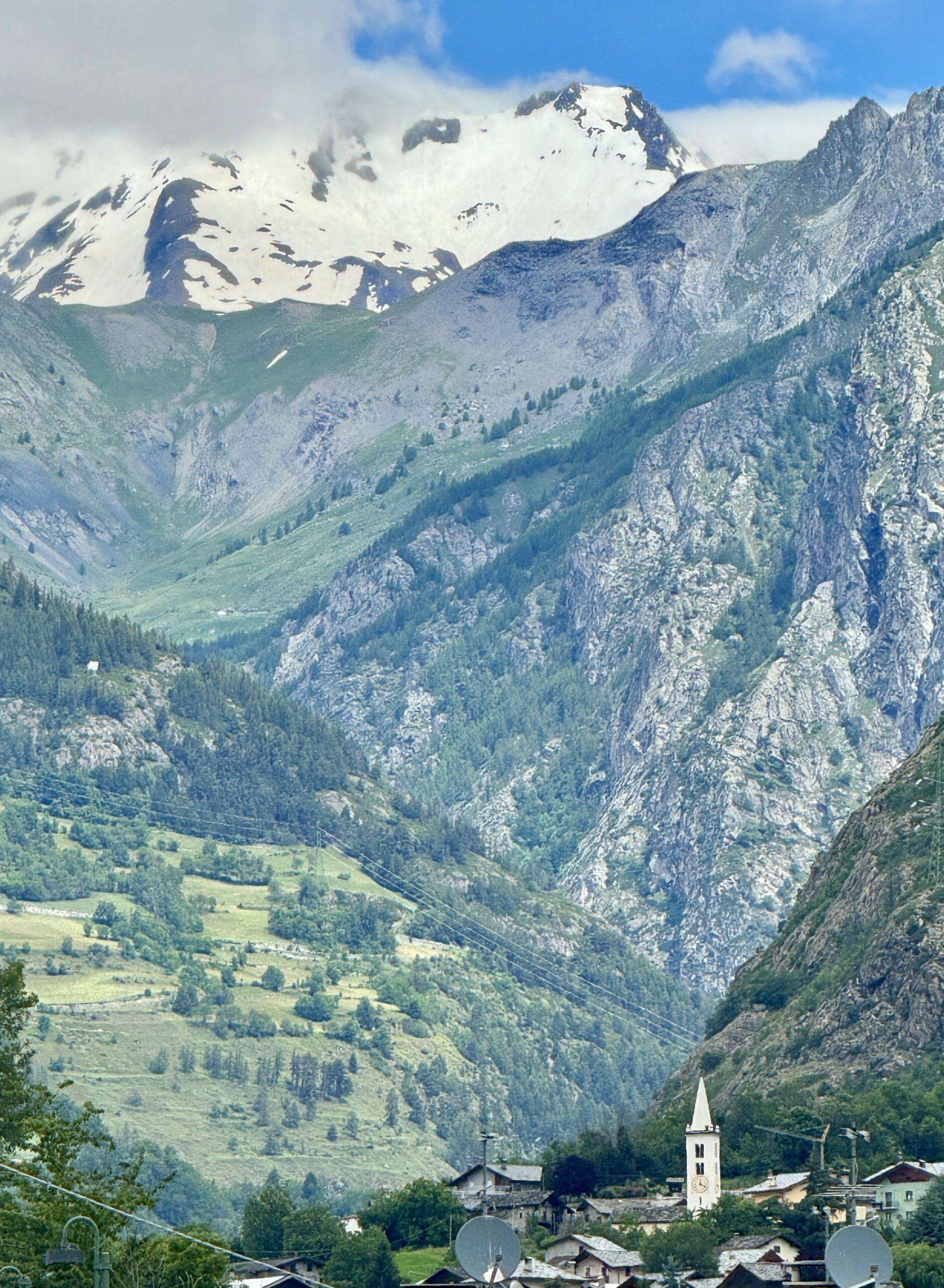
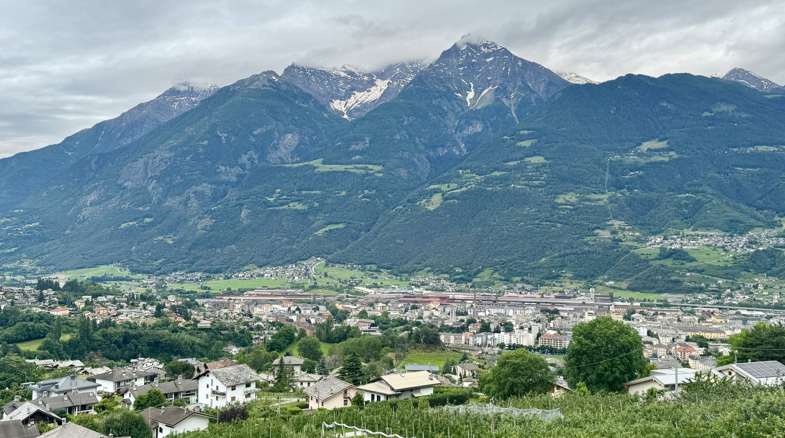
I rested today. A few pics from me to illustrate how the high peaks are never far away. And a sketch by Jürgen from a visit here last month.