Experiences of a Returned Peace Corps Volunteer in Namibia (2016-19) and further adventures…
More bike rides through the desert
The beginning of Spring means that Summer is not far behind, and our comfortable temperatures won’t continue for long. A week ago, for example, we saw the cold, wet fog reach 65 km inland from the coast and only my sleeping bag kept me warm enough at night. Yesterday, on the other hand, it reached the high-90s!
They call it “Swakopmund Mist.”
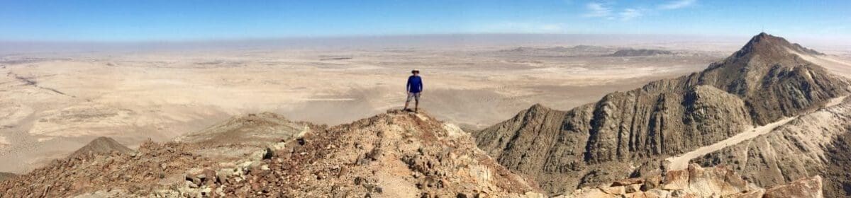
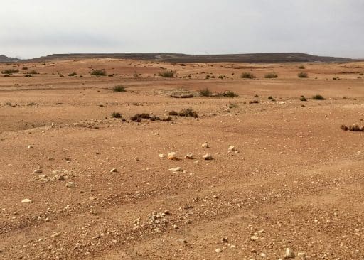
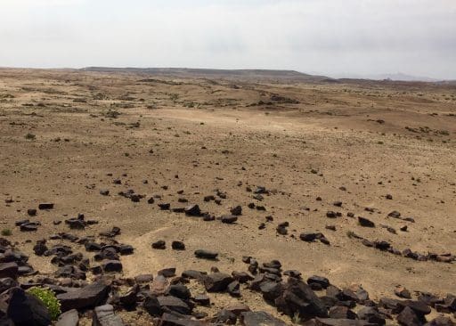
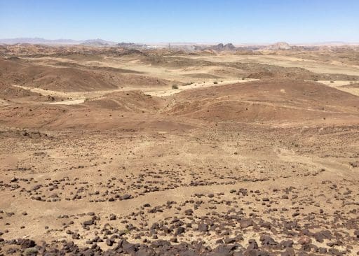
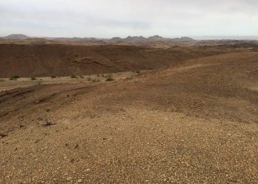
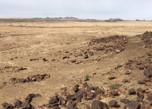
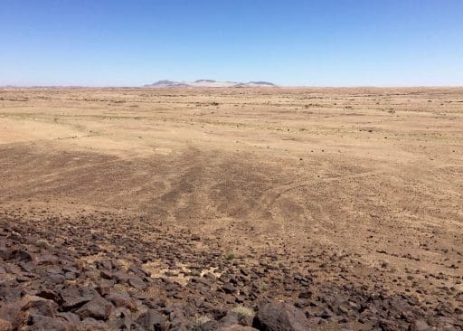
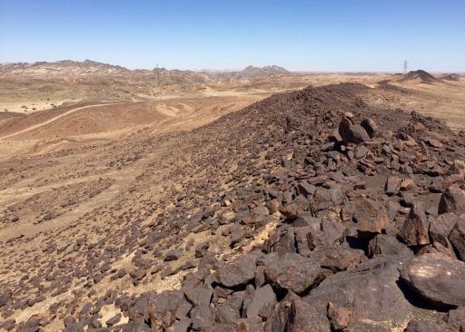
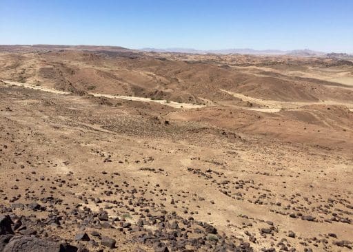
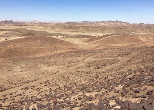
I’ve been taking advantage of the pleasant mornings to explore new points on the compass around Arandis. In my past two treks, I headed South and South Southwest, towards the Rössing Mine (said to be the largest, open-pit uranium mine in the world). The terrain offered less obvious wildlife but much more elevation change than my previous excursions to the North and Northwest. On an early Sunday morning, I was the only person for miles.
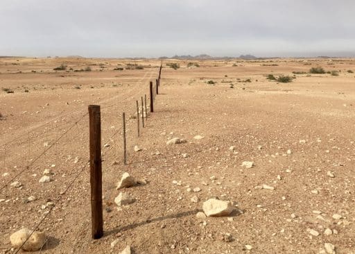
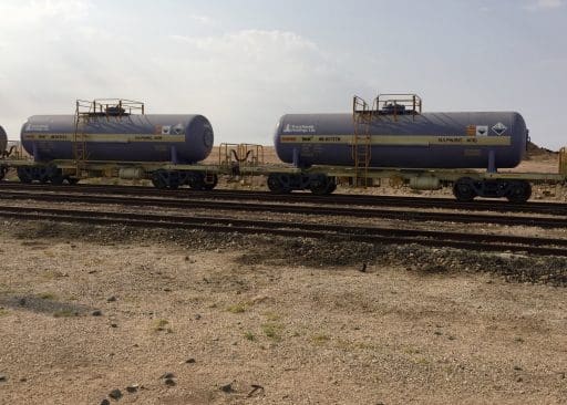
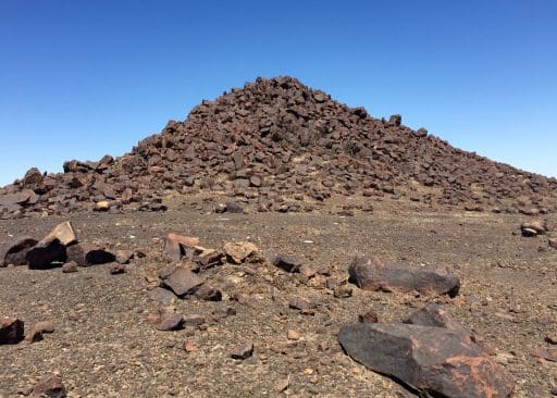
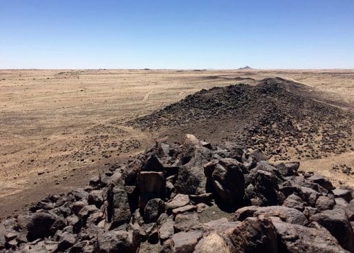
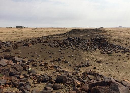
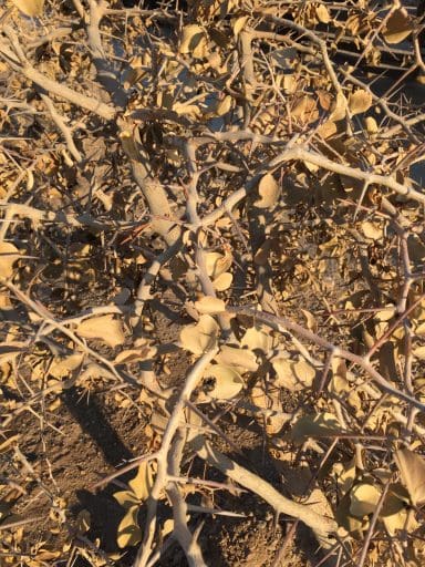
The mine’s security fence was pretty simple, but I still stayed on my side of it.Even the rail cars carrying Sulphuric Acid to the mine didn’t warrant any obvious security.Hard to see in the distance, but a tall crane and a wide road for large earth moving equipment top the horizon.I wonder what this mountain once looked like, before the mining started…Equipment and other evidence of the mine can be seen in the distance.These untouched peaks tempt me as a future destination: bike to the base and climb to the summit?And if that goes well, there are others to climb…Eventually, even Rössing Mountain will be conquered!Rock piles like this cover the landscape. Would a geologist please explain to me how they are created? They almost look man-made but clearly aren’t.They are great vantage points to gain my bearing and to sit back watching for birds and wildlife. Yes, those are power line towers – running from Swakopmund to the mine – a rare sign of civilization.In that ancient river bed below is another sign of human presence: a water pipeline, also running from Swakopmund to the mine. The wind in my ears is the only sound I hear.A closer view of my future destination.Arandis Mountain in the distance.The hangar at the Arandis Airport (!) where the Ministry of Fisheries keeps their plane out of the “rust zone” at the coast. Arandis Mountain can be seen again on the right side of the horizon.There’s not a lot of vegetation out there, but what I do find is very well defended. I work hard to avoid these thorns which could cause significant damage to both skin and tires!
Until 2019, I served as a Peace Corps Volunteer in Namibia focused on Community Economic Development. Before that, I was a high-tech executive, small business owner, consultant and business broker.
View all posts by Chris
2 thoughts on “More bike rides through the desert”
Love seeing all the photos. I wonder if the few landmarks help you find your way back. As a girl who gets lost in a paper bag (but now ventures out only with the help of GPS!), I’d be terrified I’d ride and ride and ride and never make my way back!
Thanks, Jenn! So far, I’ve had no problem as major landmarks (Rössing Mtn, Arandis Mtn, etc.) are always visible. If I ever get caught in thick fog, however, I always carry a compass in my Camelbak. (And there I thought my biggest worry was a breakdown…)