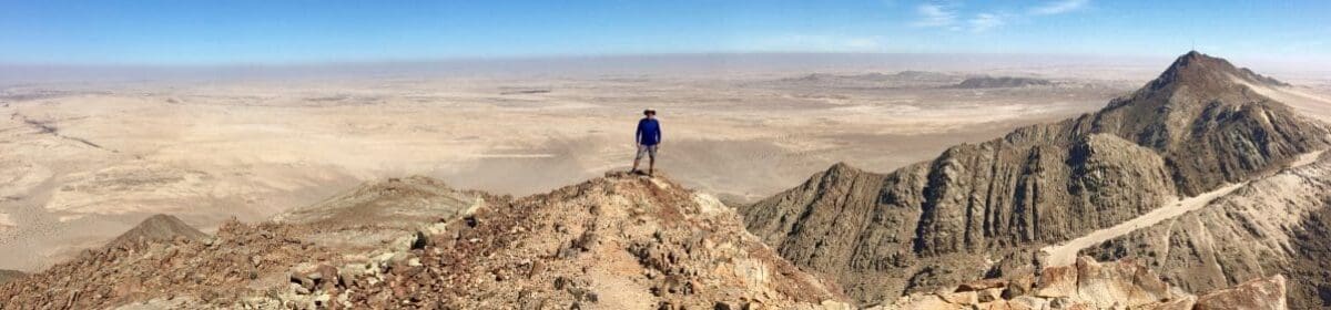

Many people who try multi-day trekking for the first time, and enjoy it, develop a curiosity about other similar routes around the world. Quite often, I compared notes about other paths with pilgrims on the Camino de Santiago (Camino Francés) in 2022 (which I blogged about here). It was on that walk that I learned about “the longest ancient pilgrimage route in Europe: the Via Francigena.”
Now that piqued my interest!
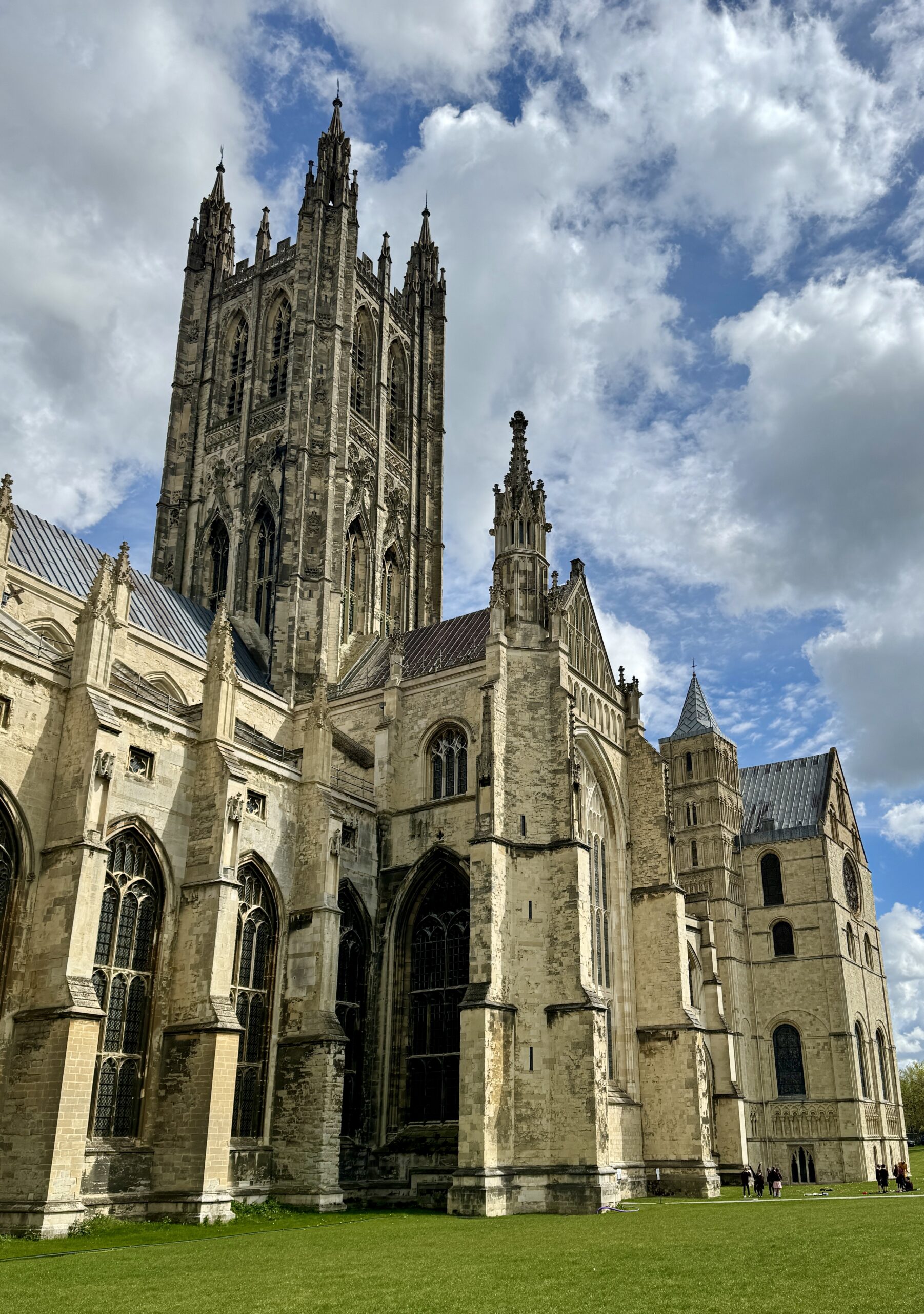
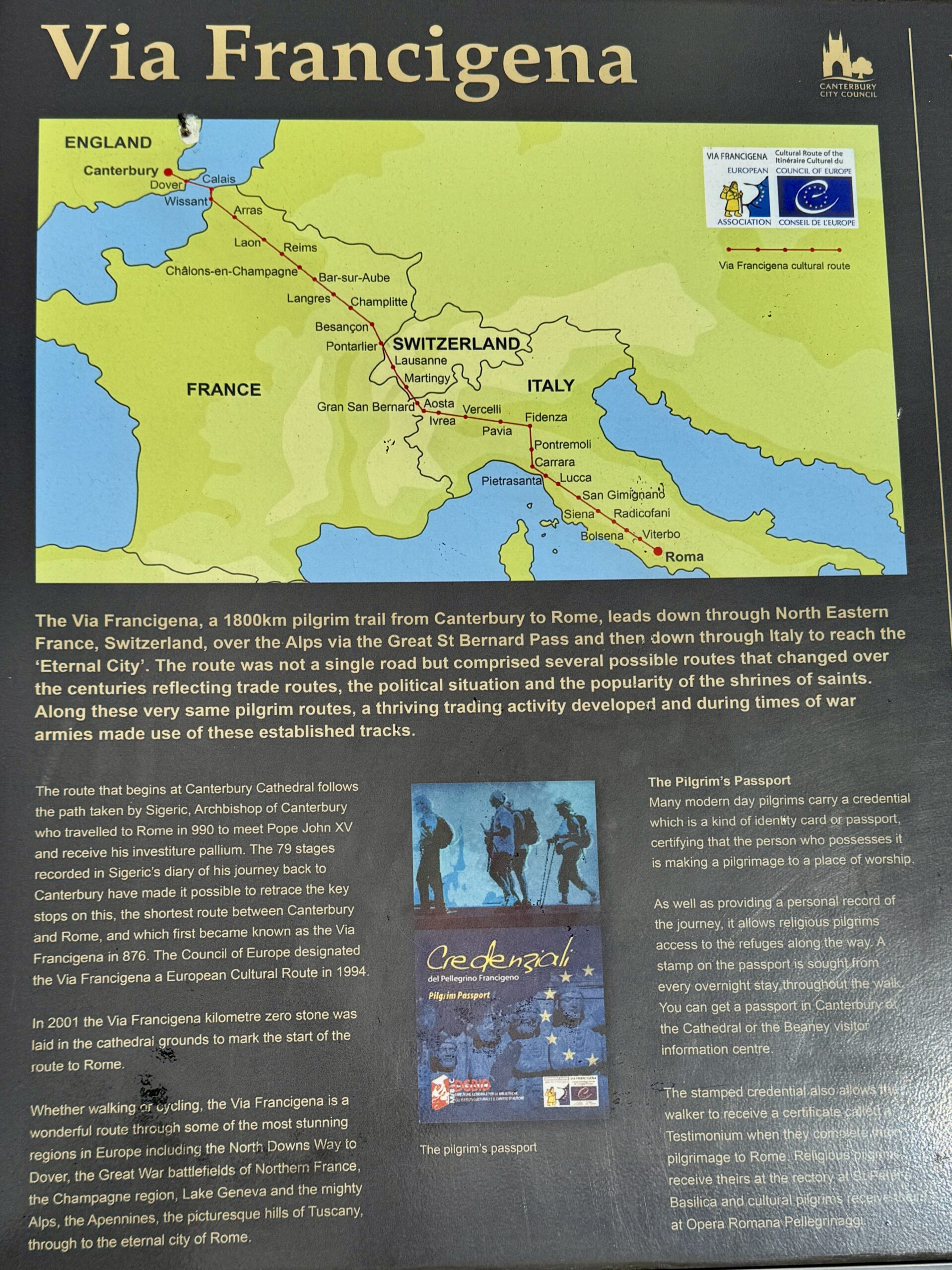
The Via Francigena, meaning “Way of the Franks” (aka VF or Via), is a long walking path thought to closely follow medieval pilgrimage routes from England through France and Switzerland, over the Alps into Italy, and ultimately to Rome. The VF’s modern development and formal organization have expanded in recent years. The European Association of the Via Francigena (EAVF, founded in 2001) first defined the current VF from Canterbury Cathedral (the seat of the Church of England) to Saint Peter’s Basilica in Vatican City (the home of the Roman Catholic Church). The most cited origin of the path is the journey made by Archbishop Sigeric, who documented his trip from Rome to Canterbury in 990 AD. Many of his overnight stops have continued to be important stage endings through the centuries to this day. In some places, the route deviates from Sigeric’s “historical route” and passes through interesting towns, villages, and scenic natural sites. More recently, extensions at both ends have been added to the historic route: a short section from Southwark Cathedral) in London to Canterbury Cathedral, and a much longer stretch named the Via Francigena Della Sud from Rome to Santa Maria di Leuca. It was from this and other harbor towns on the Puglian coast where ancient pilgrims would catch their vessels headed to Jerusalem in the Holy Land.

That sounded perfect to me! I had lived in the UK, had worked in Europe, had studied French for longer than any other language, and had spent a month hiking a couple of Vias in Italy two years ago. Spending more time in those familiar places, not just as a tourist but also not quite as a resident, was very appealing. I did my research online, read Sandy Brown’s guidebooks, compared this trek with the Camino Francés, and booked my flight to London. It all seemed like a marvelous trip!
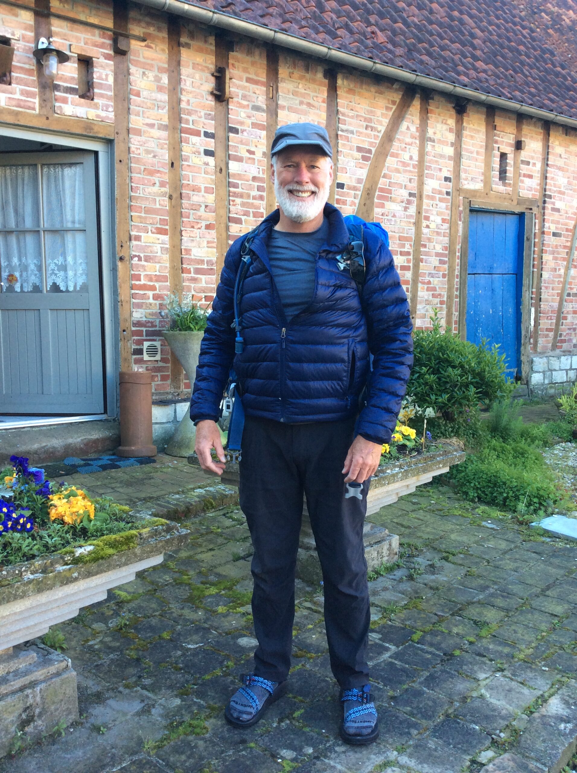
After a 2-week “warm-up” walk of The Pilgrims Way in southern England, which I blogged about here, I was excited to set out for Rome. I was feeling good and aimed to make the whole journey within the 90-day window of my Schengen Area visa.
The following numerous and long posts comprise a travelogue of this trip (and part of my personal journal), featuring a few stories, some reflections, daily statistics, and a whole lot of photographs and video clips. Please click on any image to see it at full size. Although I’m writing about past events, I will write in the present tense to maintain the immediacy of my experiences and emotions throughout the ups and downs, and twists and turns of the many days, weeks, and months I planned to spend on foot.
You’ve been warned:
- The journey on foot from Canterbury to Rome is a long one, in terms of distance covered, variety of terrain and conditions, and duration. These posts are long.
- Just as every pilgrim’s journey is unique to them, no other person will replicate my trip in their route, daily destinations or pace. Your mileage may vary.
- I take photos and videos of things that attract my attention and fuel my curiosity: the variety of landscapes, patterns in nature, public art, and buildings that are interesting and old. I keep and share them because they refresh the emotions I felt when I first took them. Your photo collection will be very different.
- The Via Francigena is a walk across Europe filled with scenes of great beauty and interest. But not everywhere, and not everyday. If you don’t like something, keep scrolling. Something different and better will appear, eventually.
OK, let’s get started. Thanks for following along with me. Buon cammino!
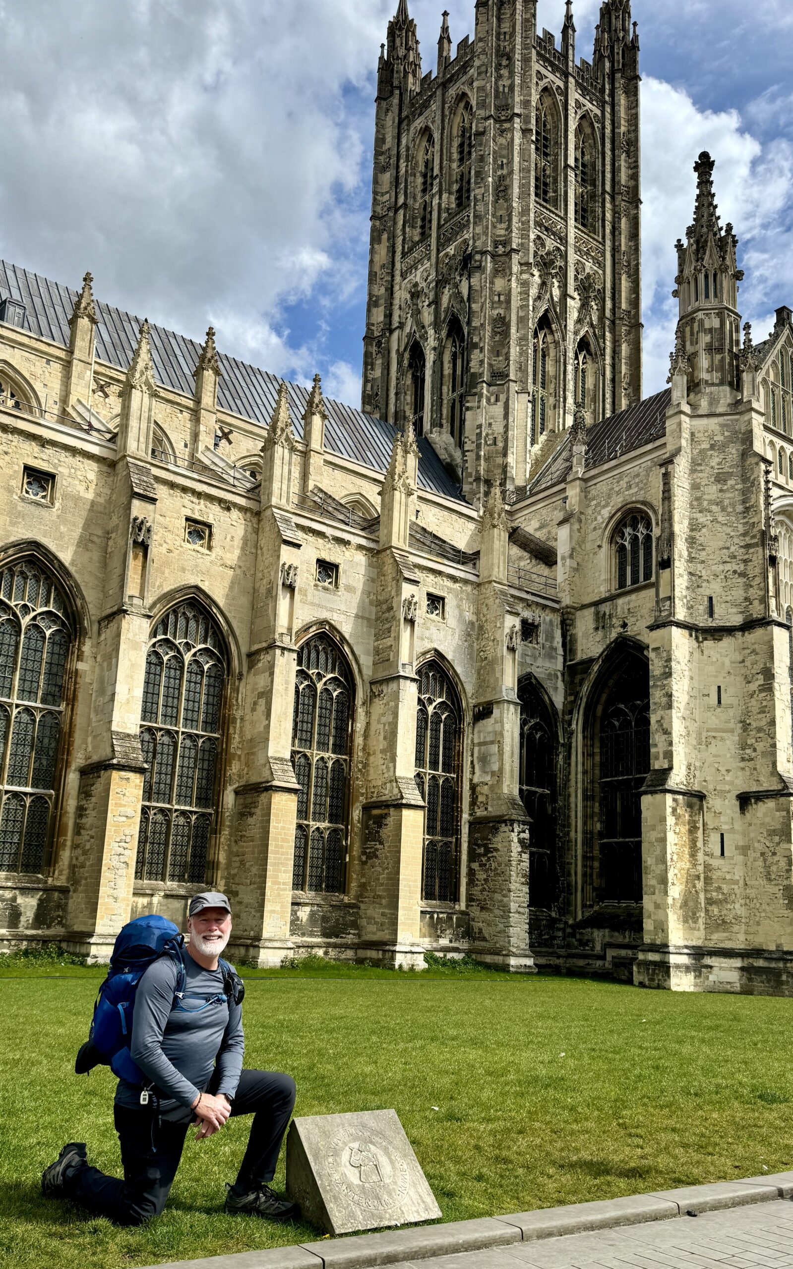
Day 1: Canterbury to Shepherdswell
Not unsurprisingly, Day #1 on the Via Francigena was a lot like my 14 days on The Pilgrims Way, with the significant exception that I met another “pilgrim-to-Rome” at tonight’s accommodation (compared to just one 3-day pilgrim in my fortnight on the PW). Myongsoon is a primary school teacher from South Korea who has walked two routes of the Camino de Santiago, and we had fun comparing notes about our treks. She remains an online friend where we follow and encourage each other in our treks around the world.
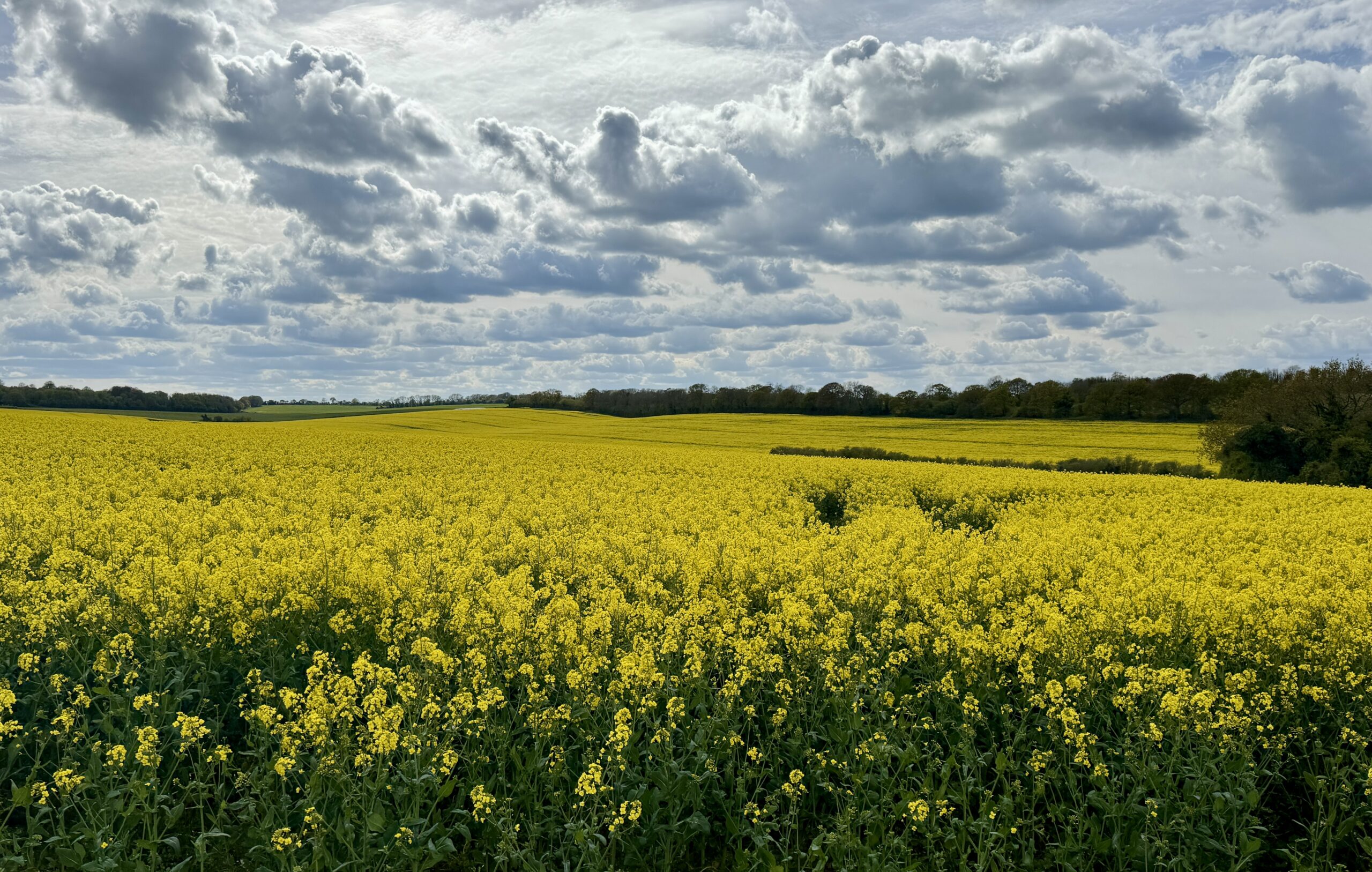
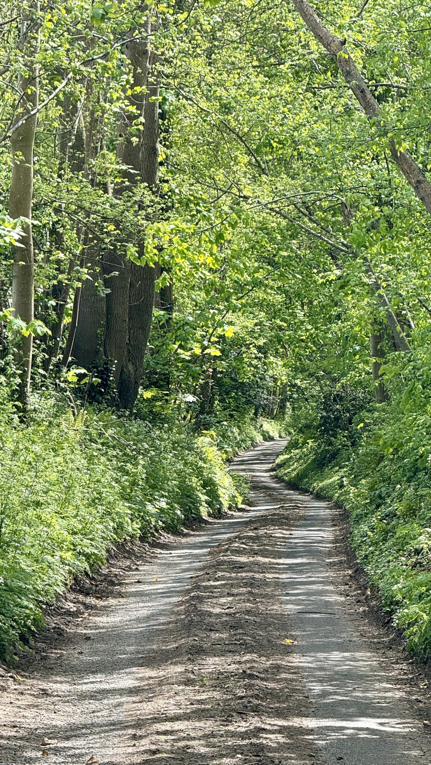
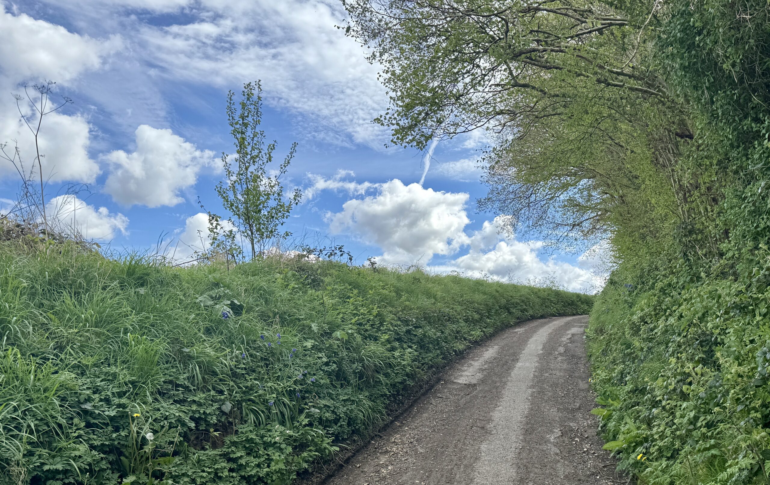
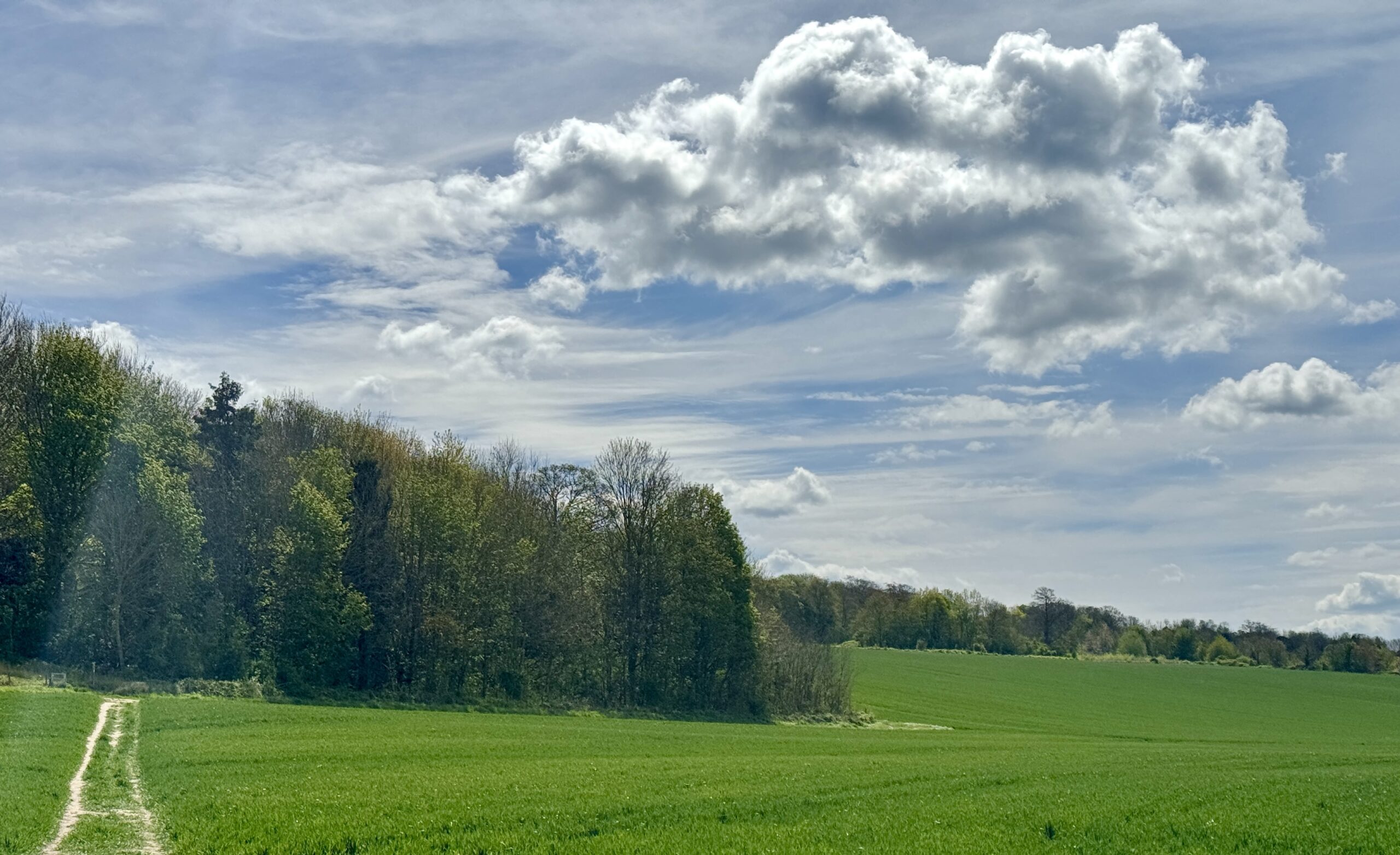
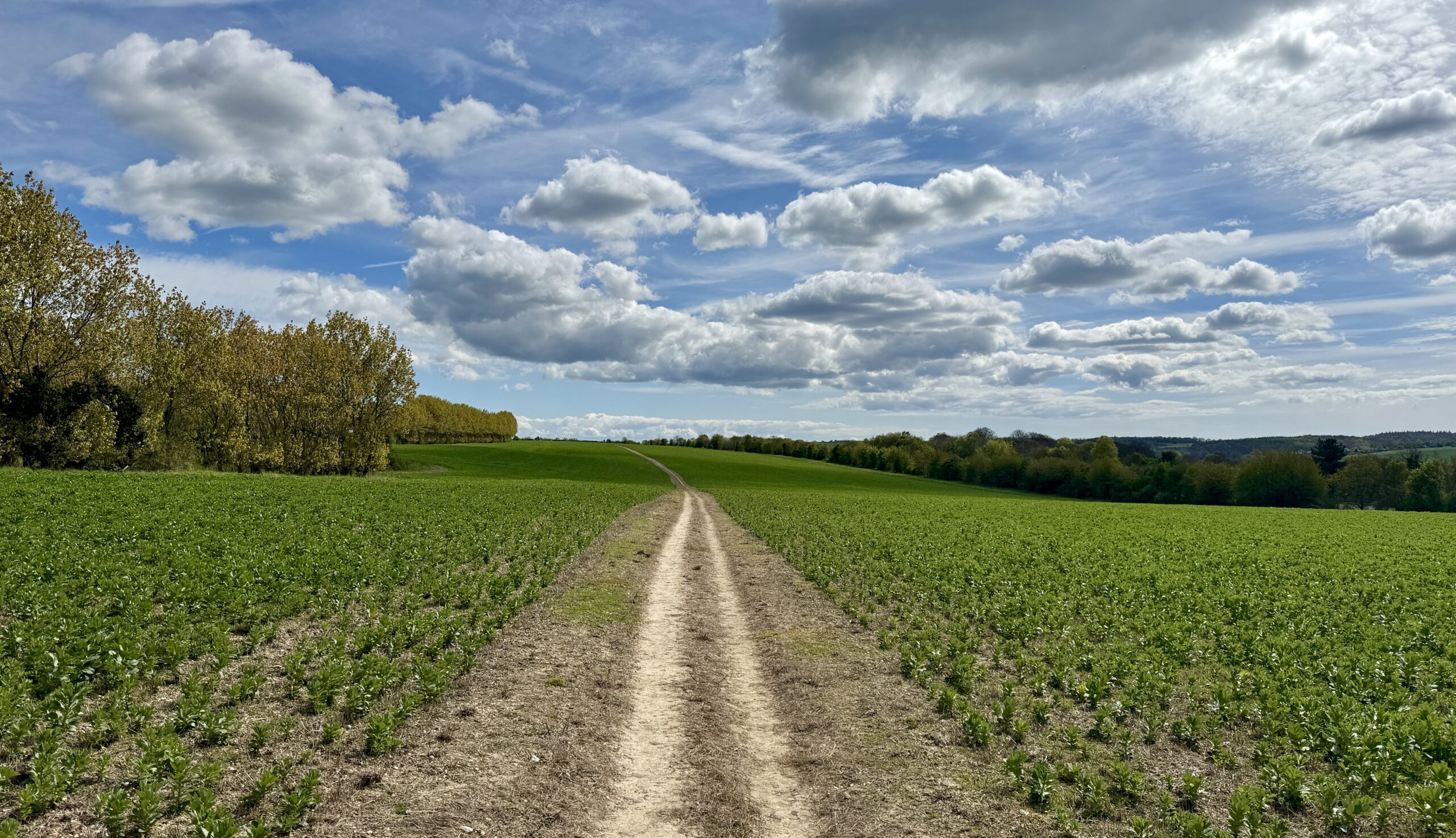
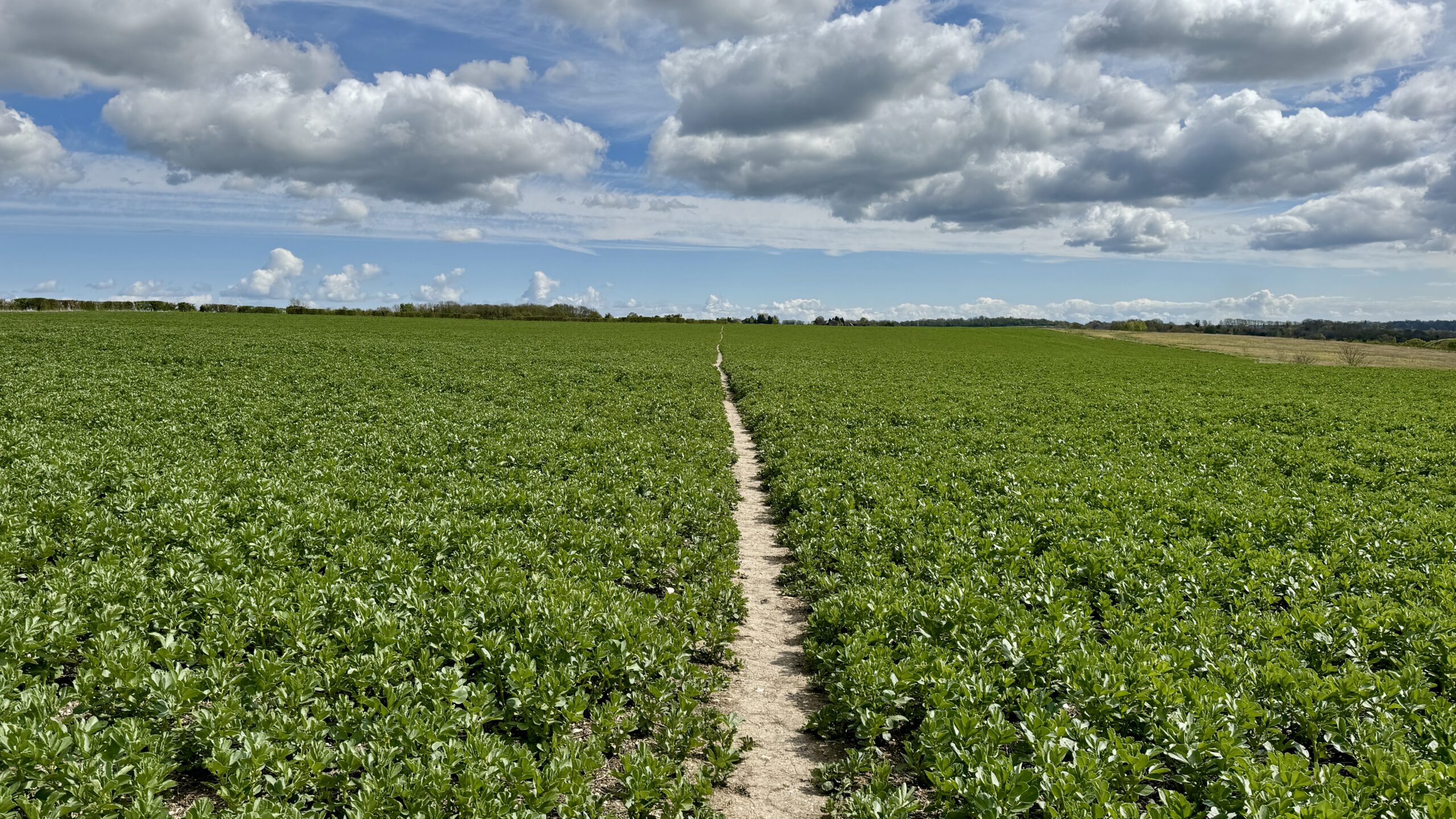
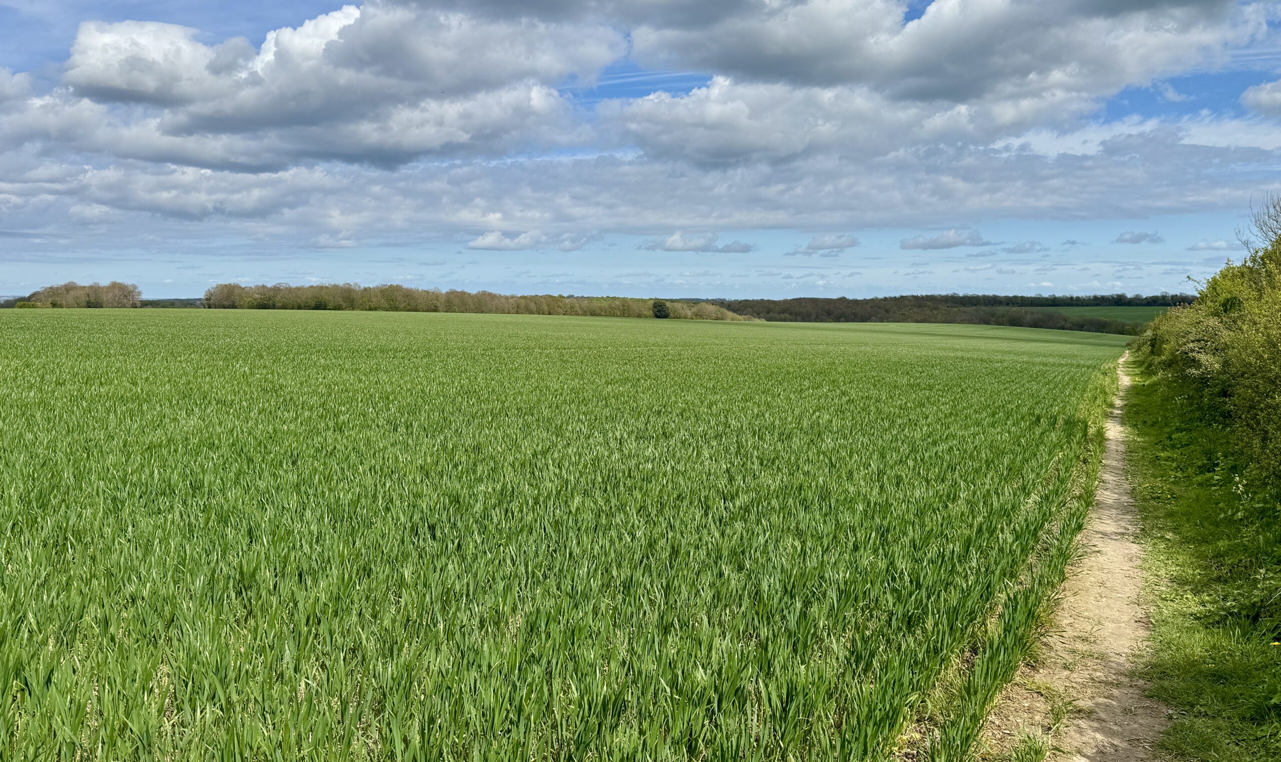
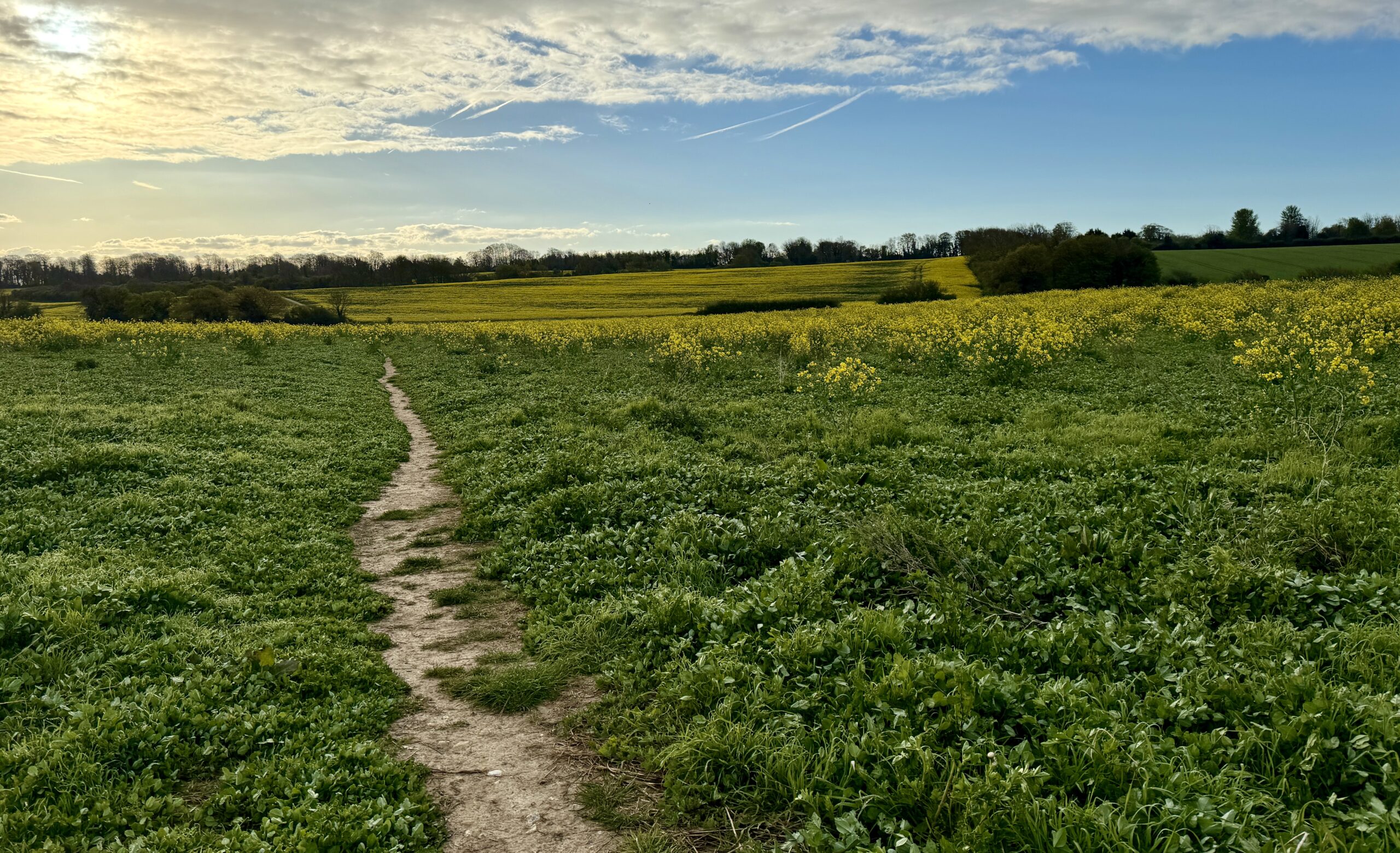
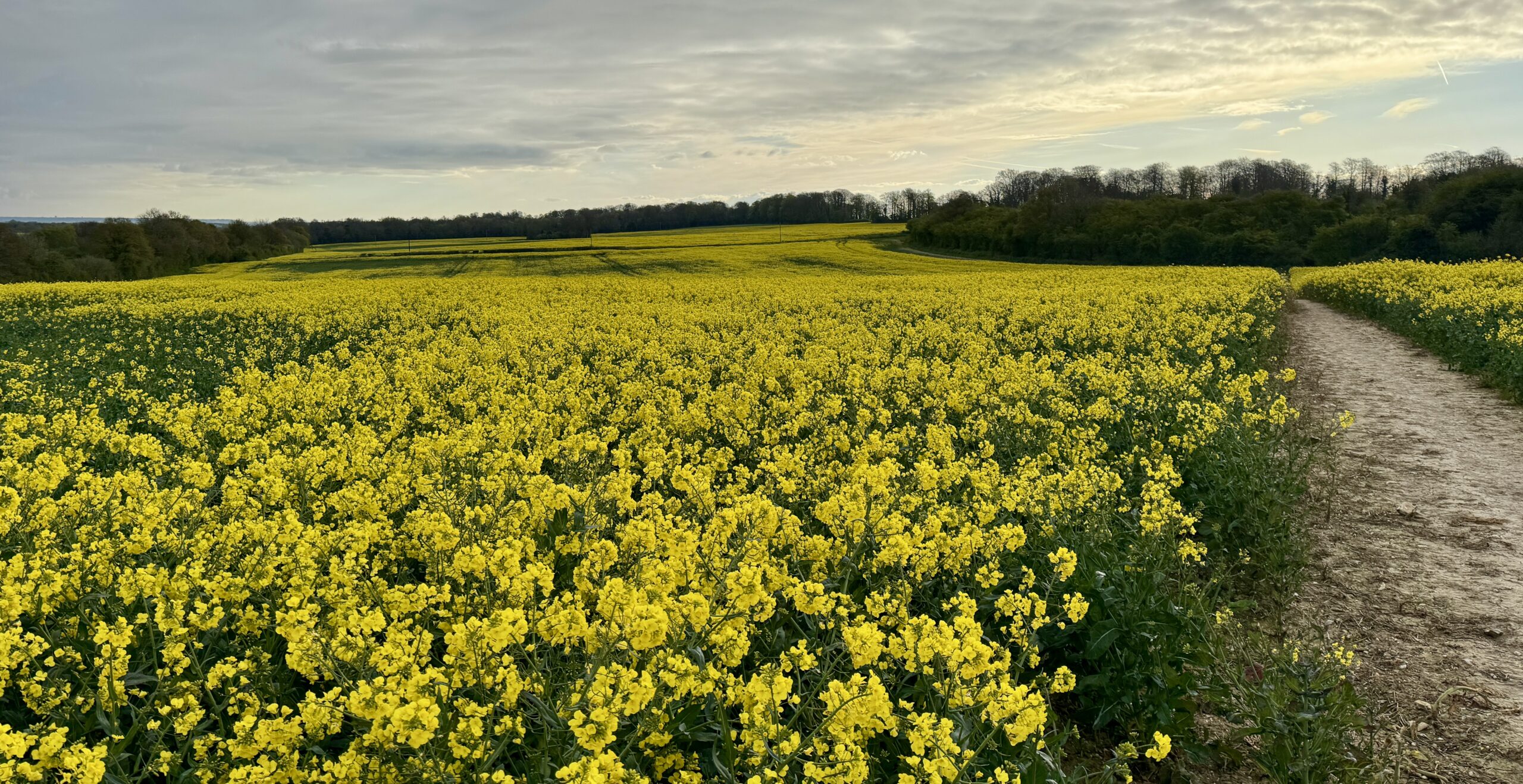
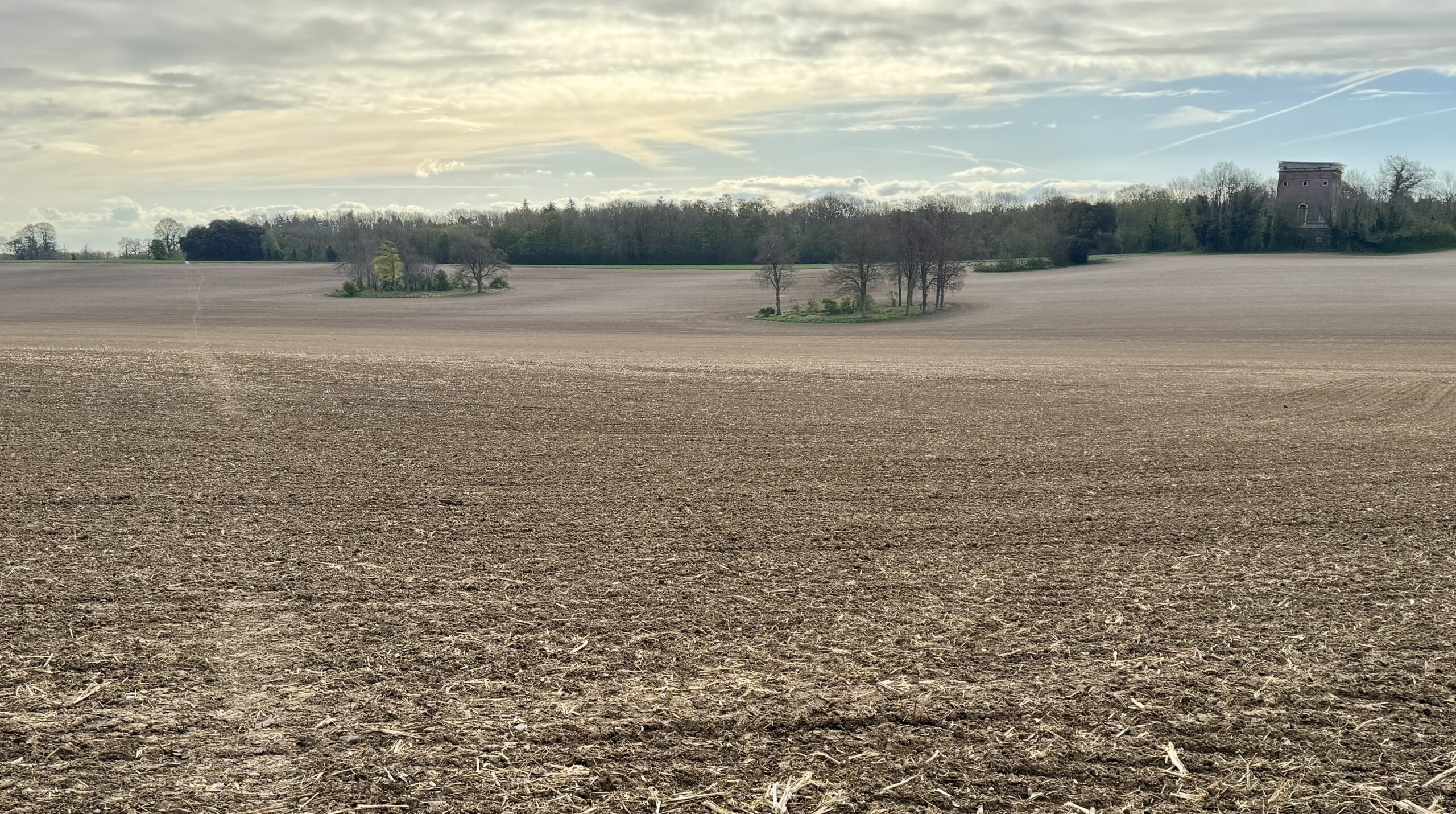
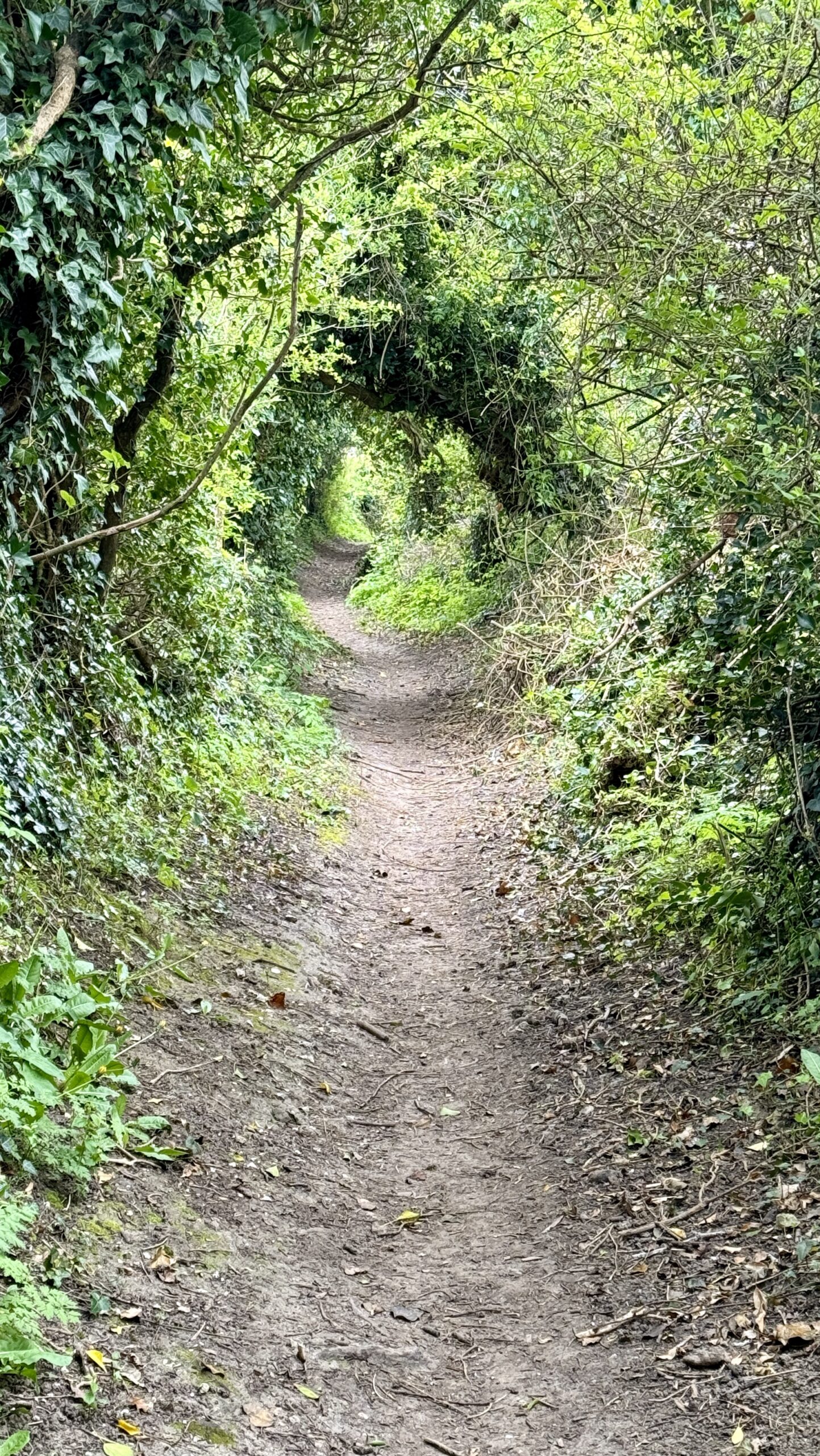
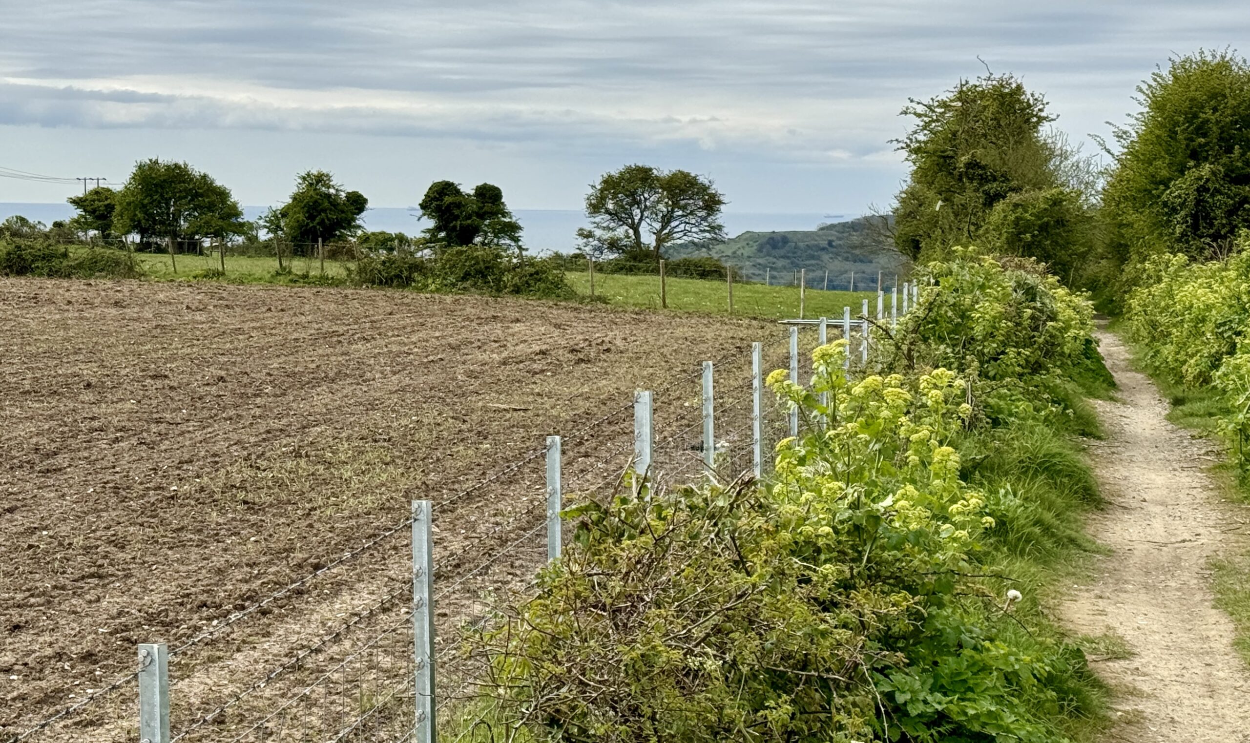
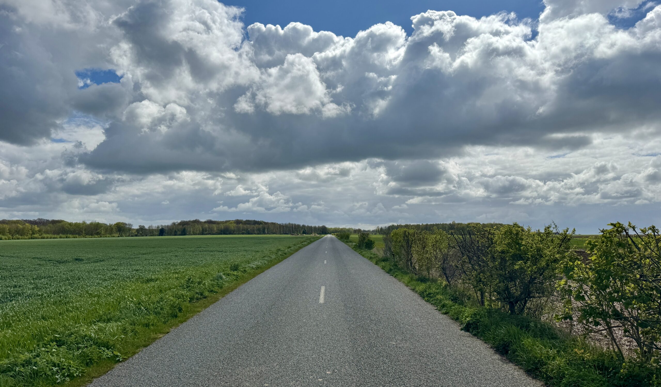
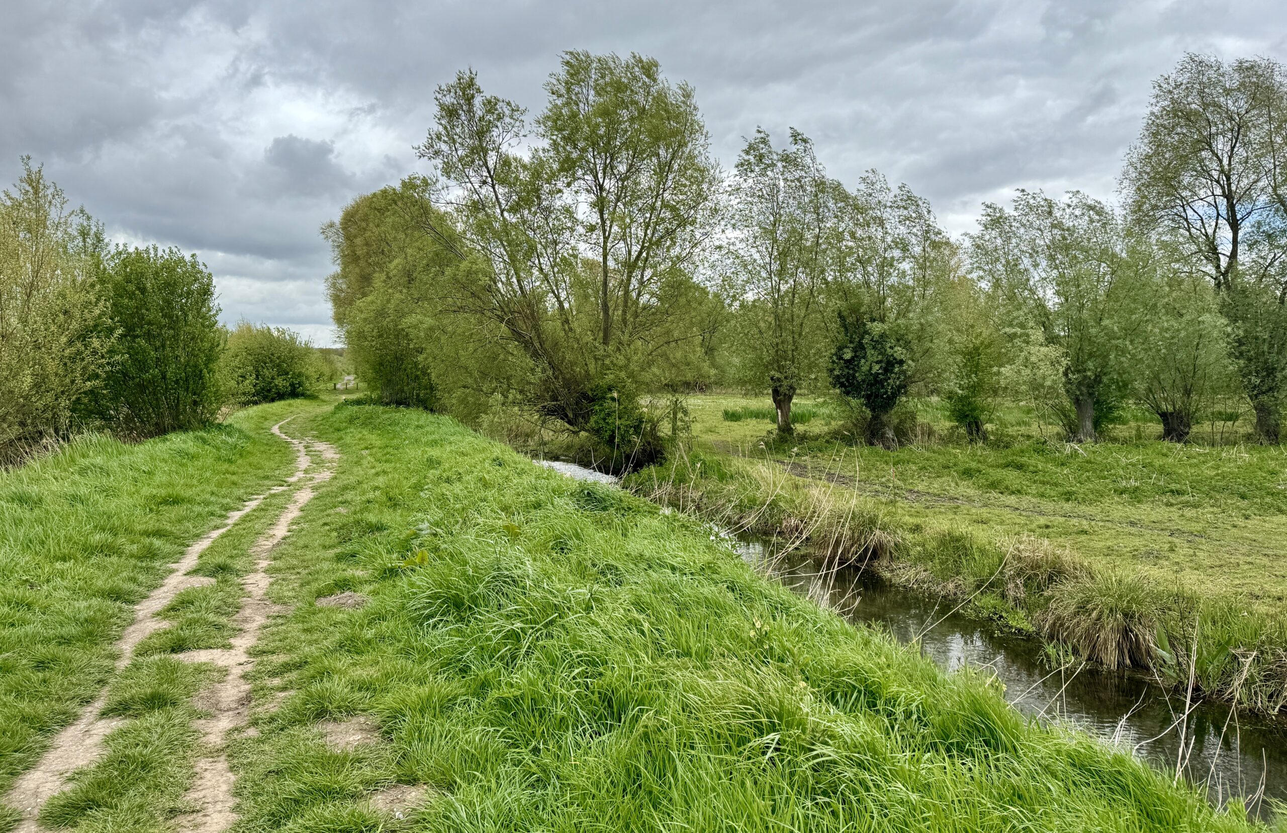
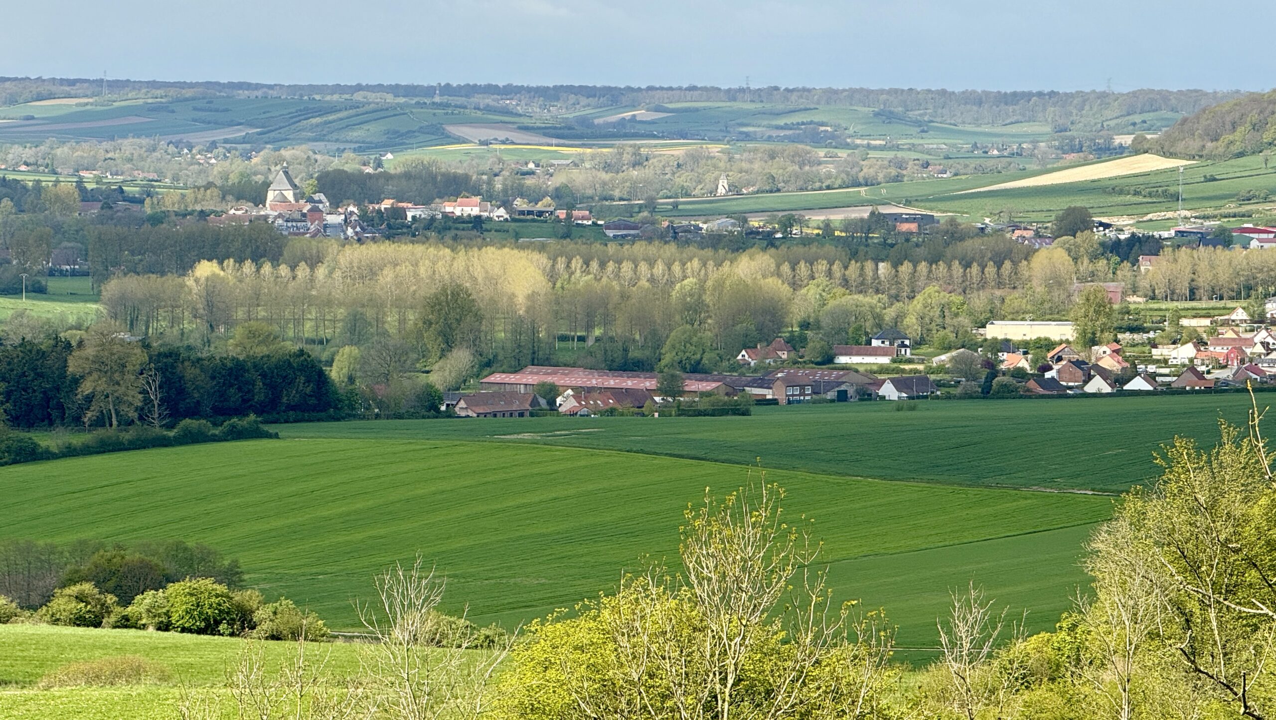
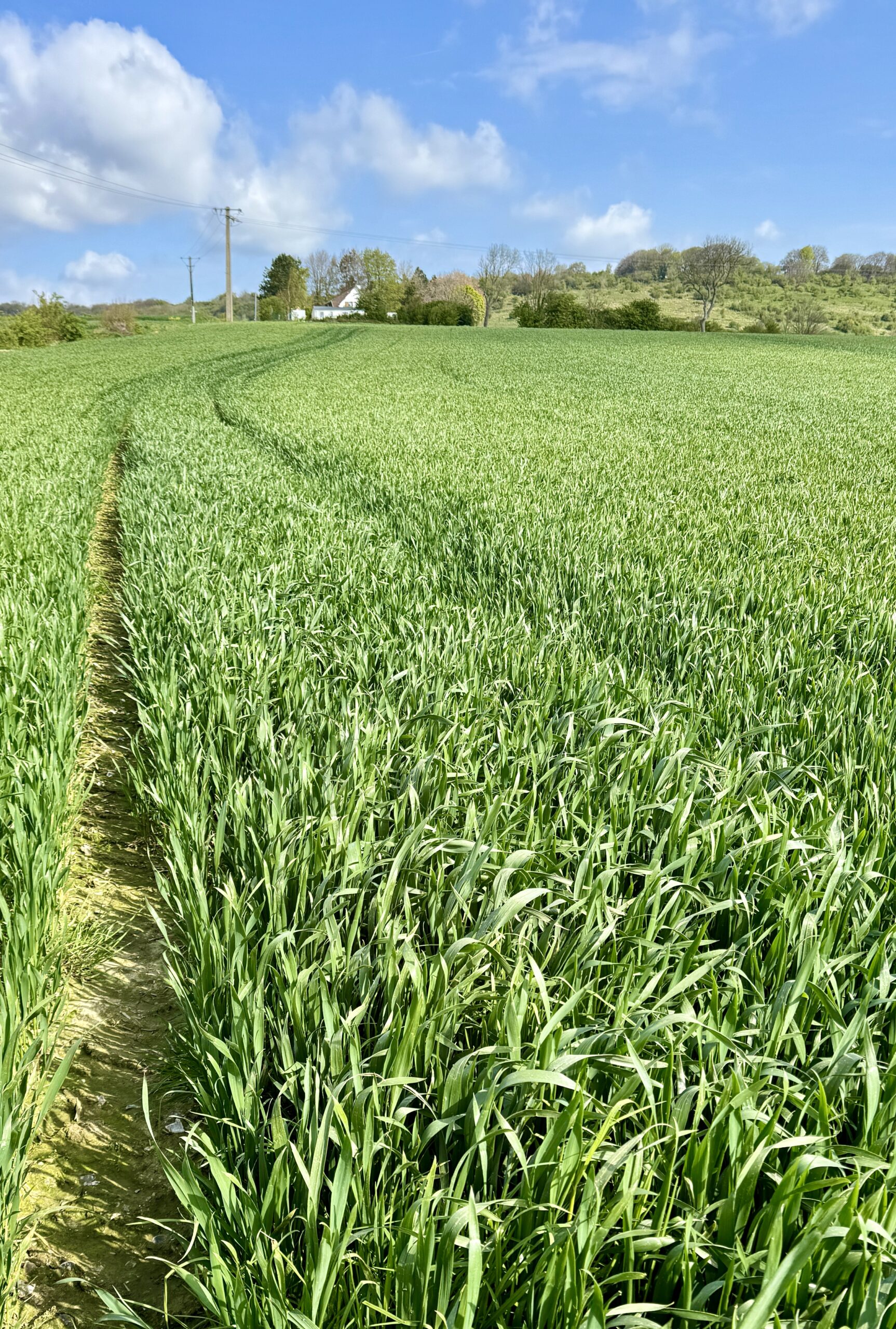
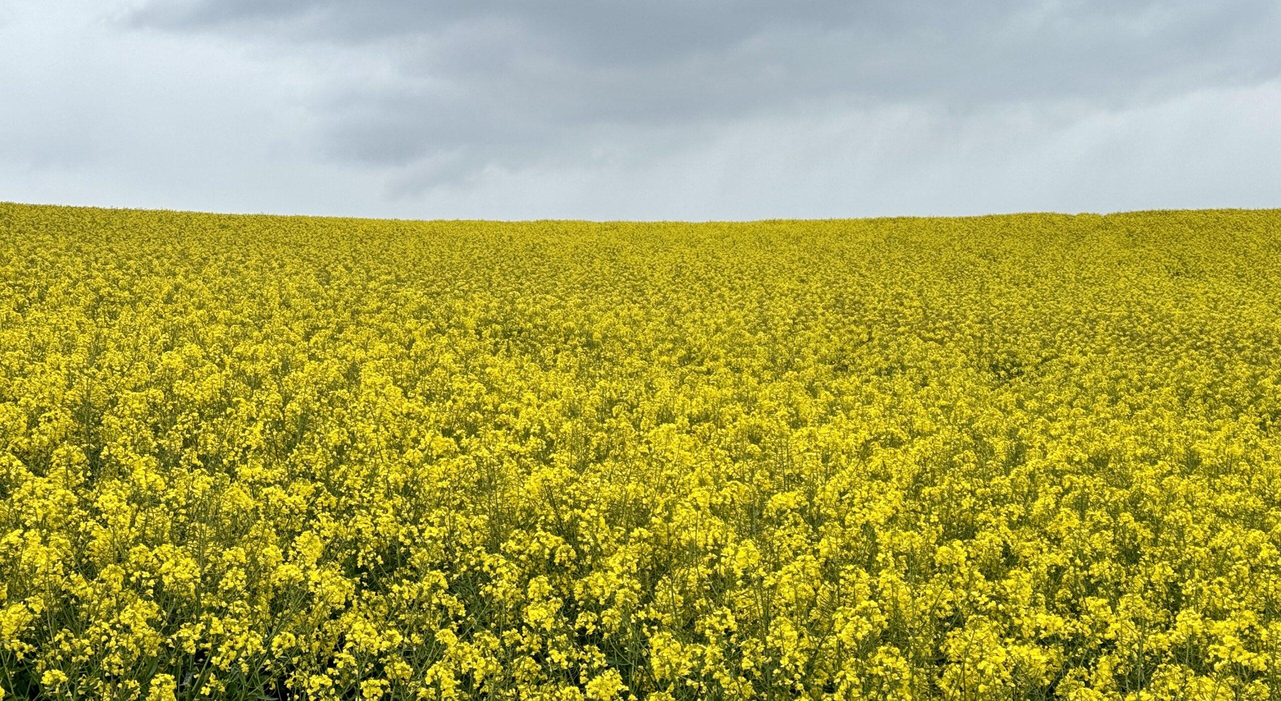
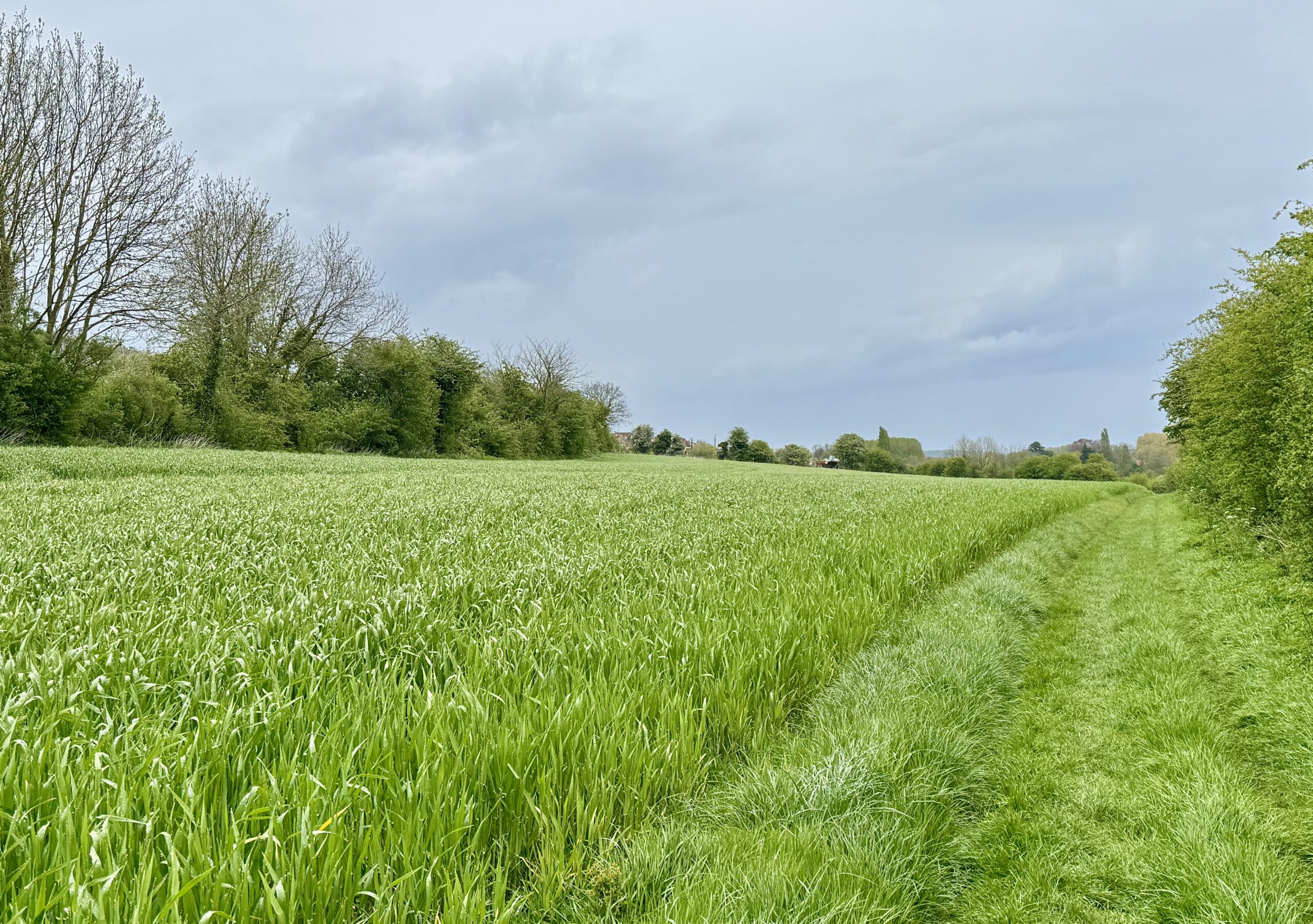
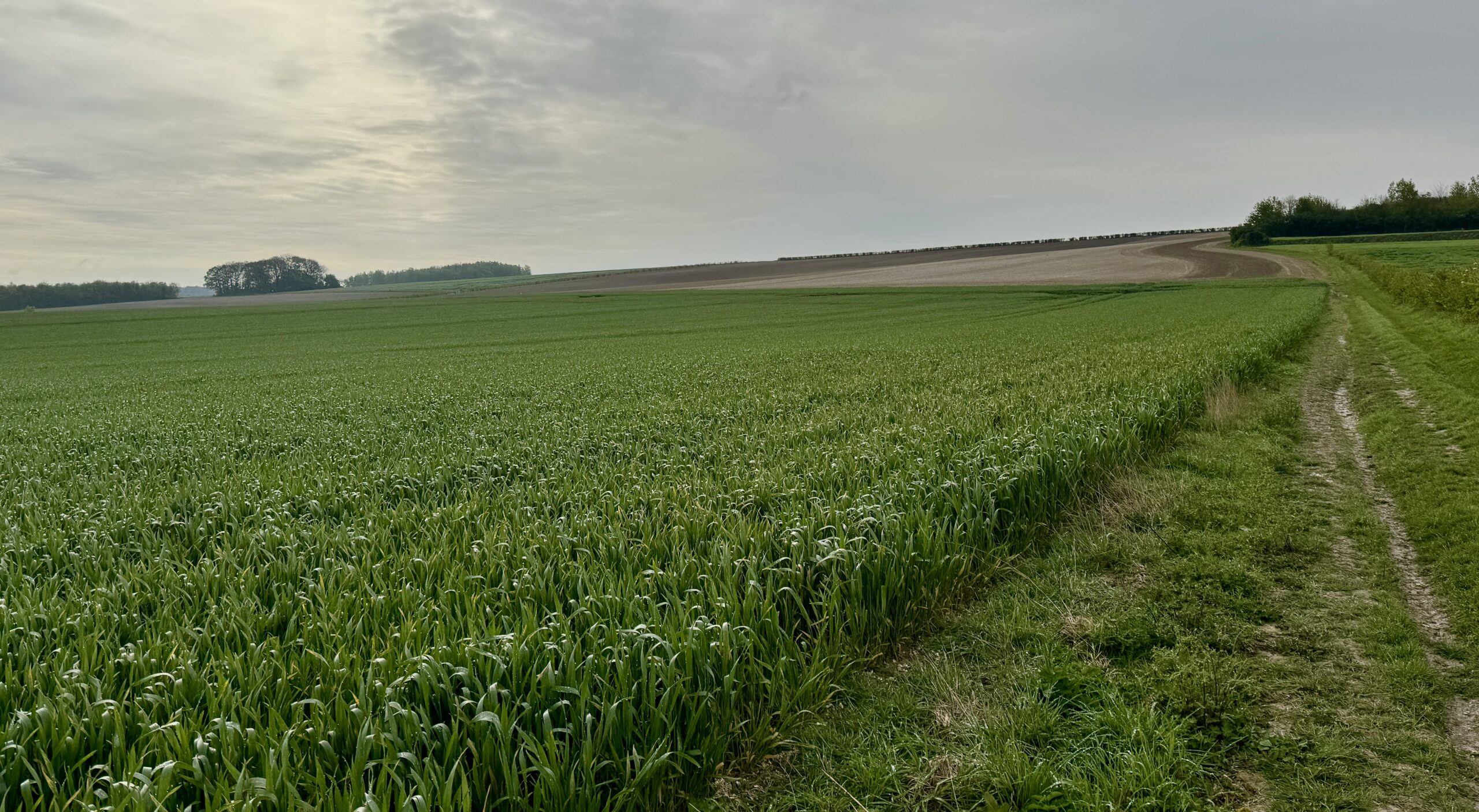
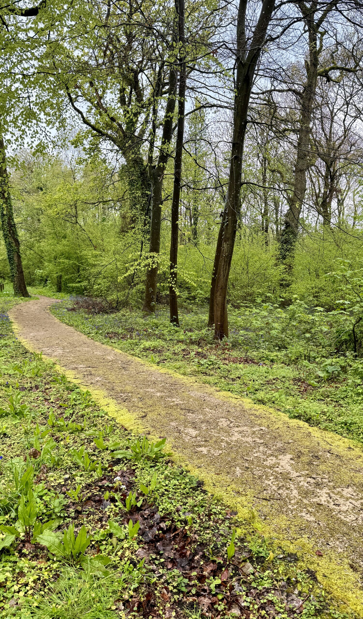
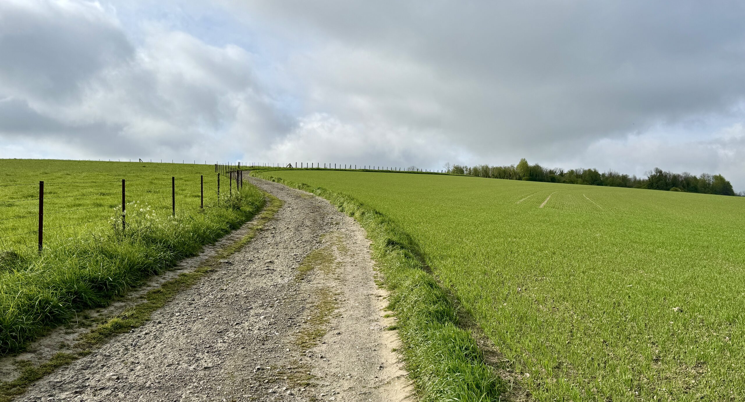
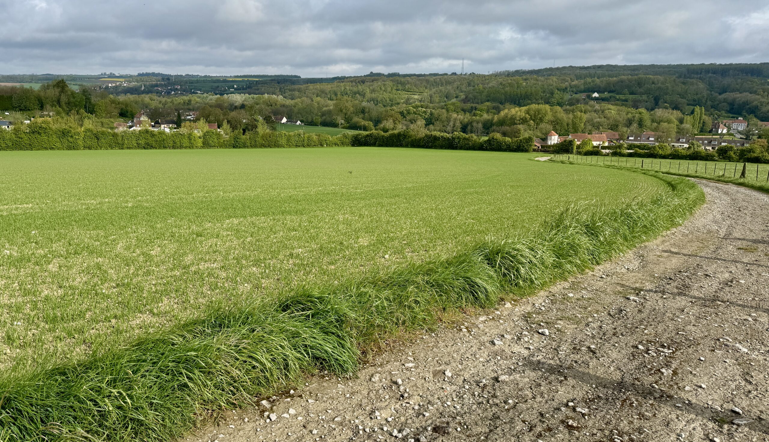
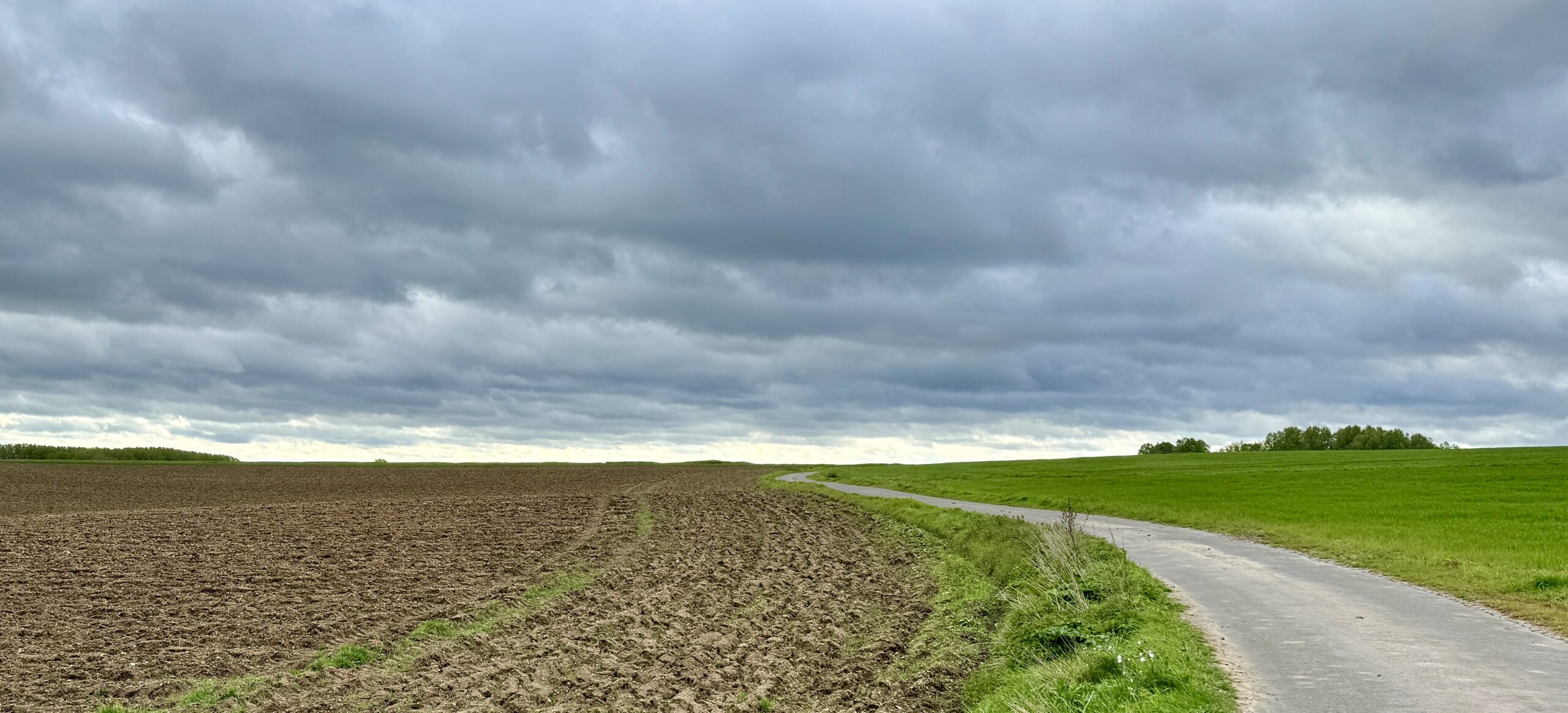
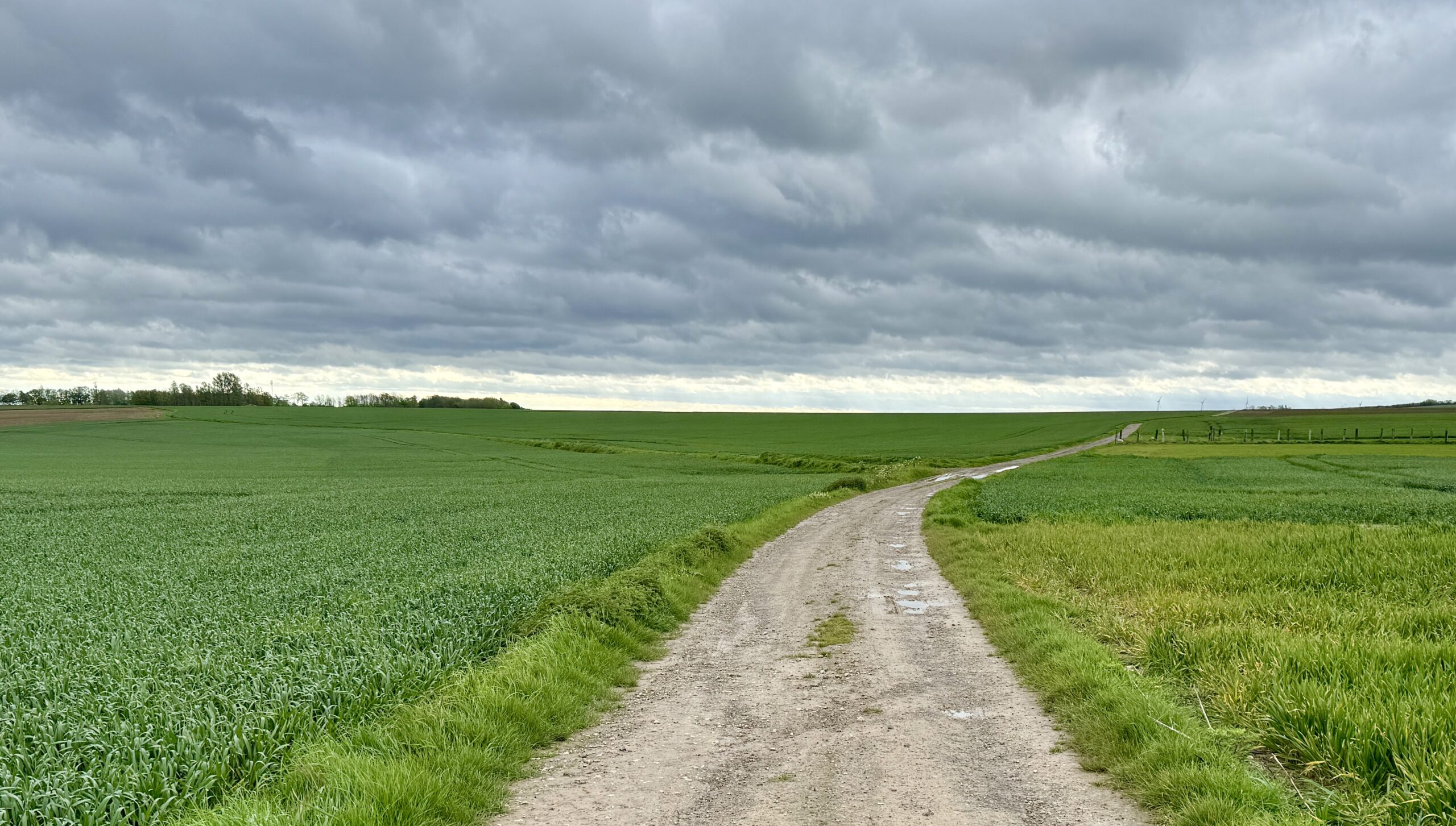
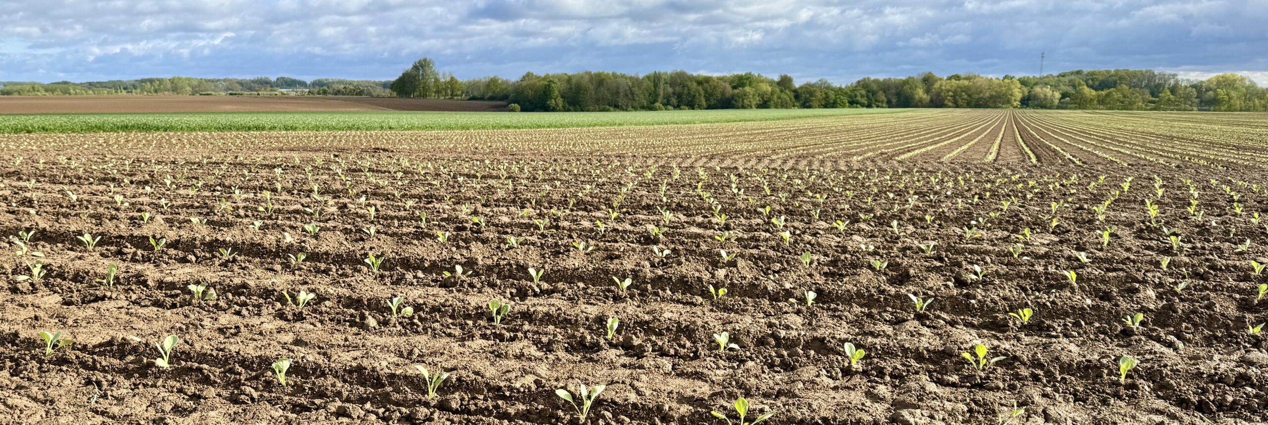
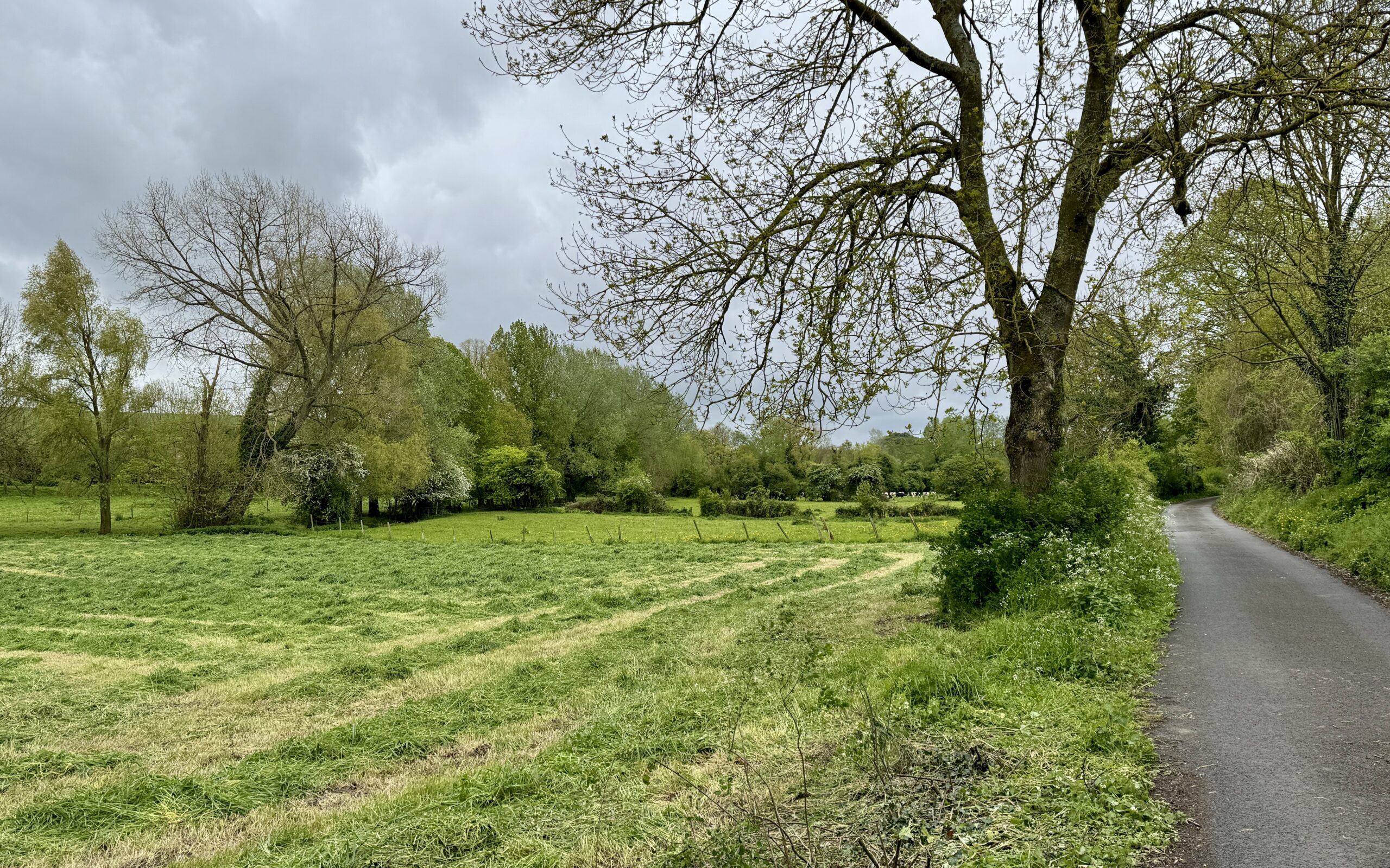
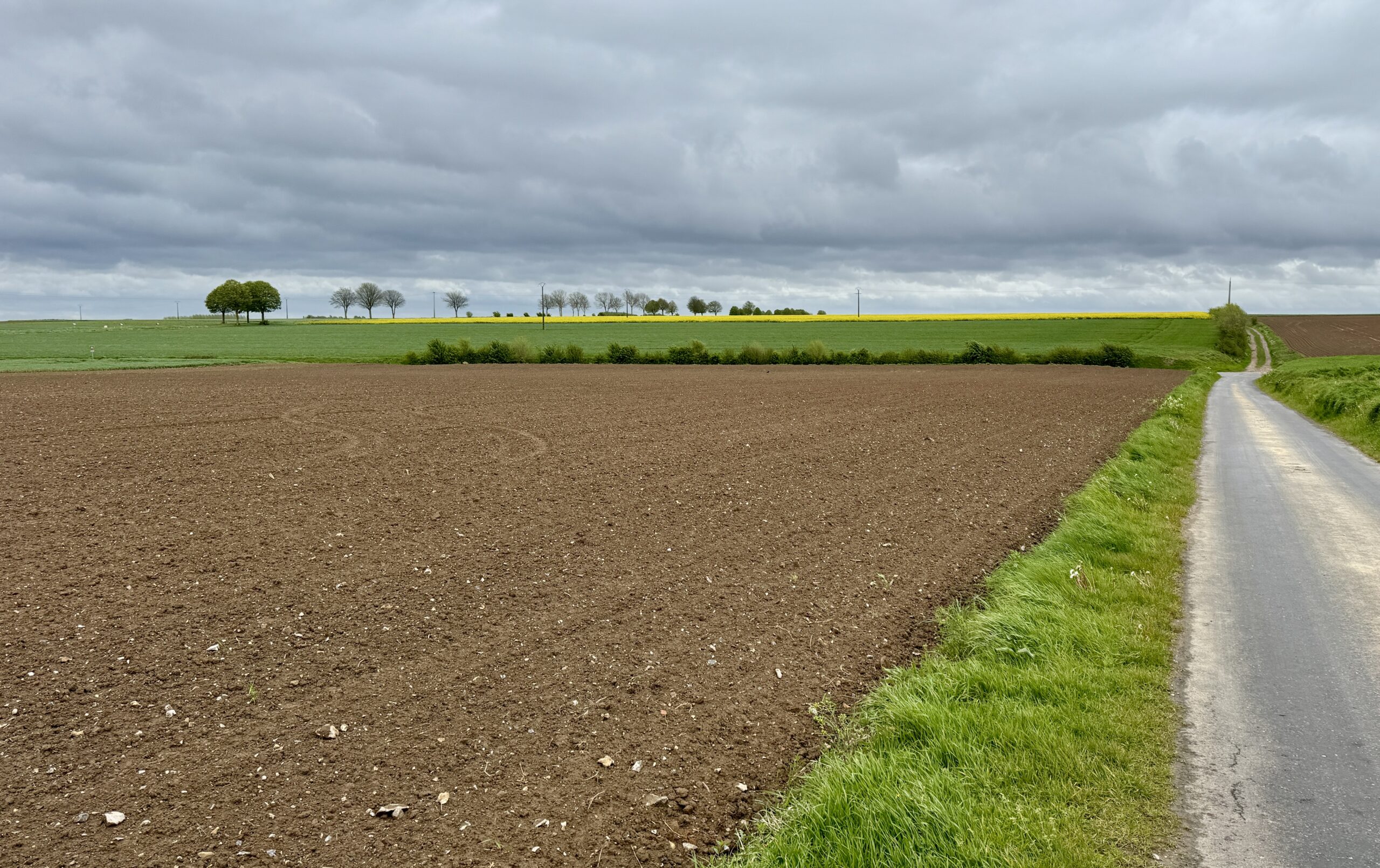
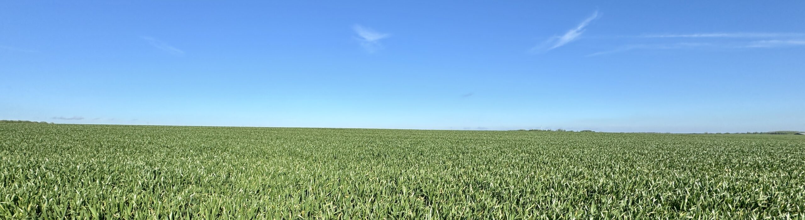
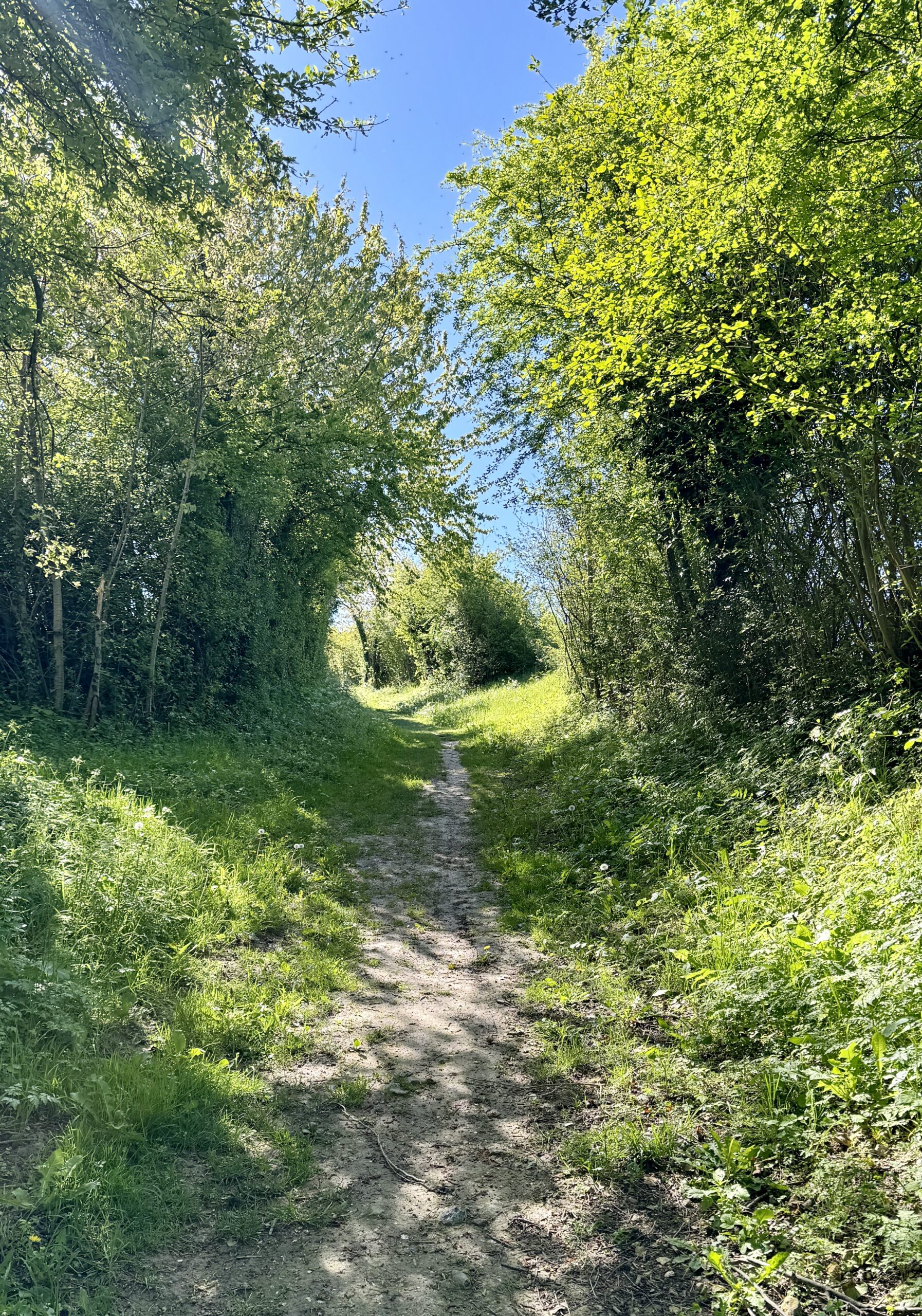
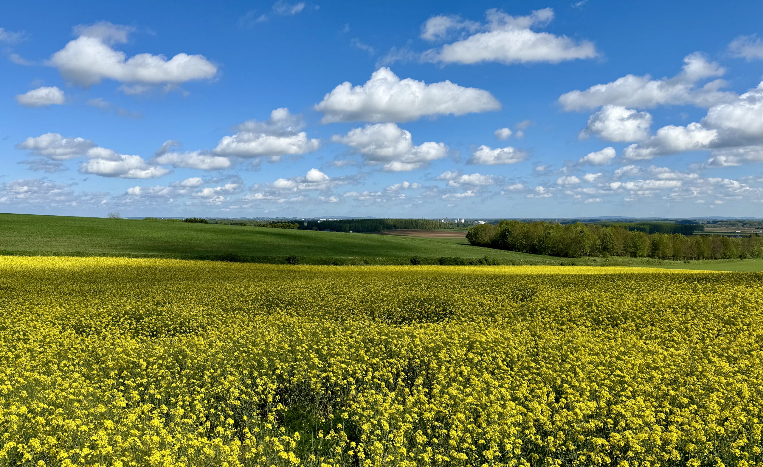
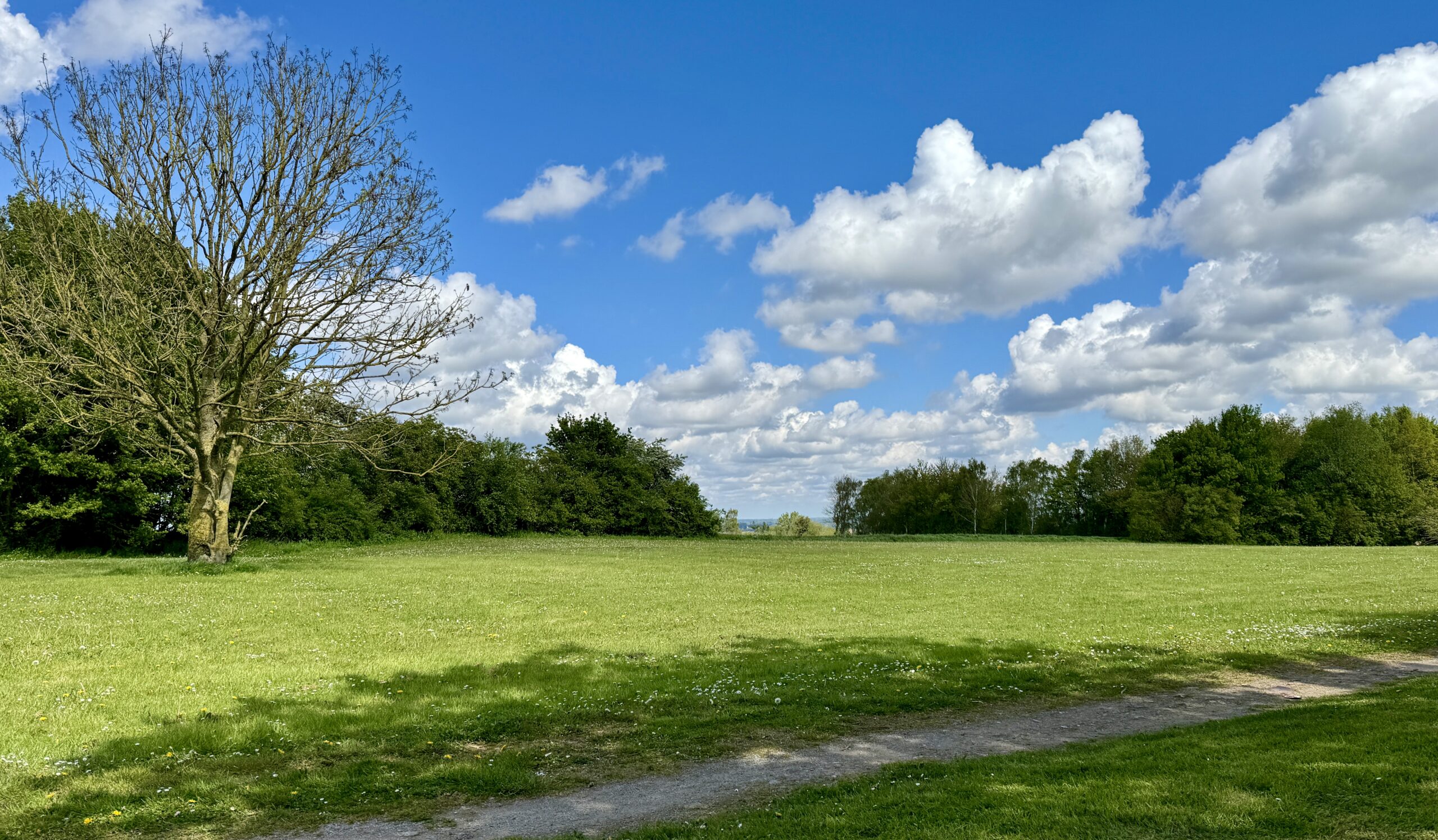
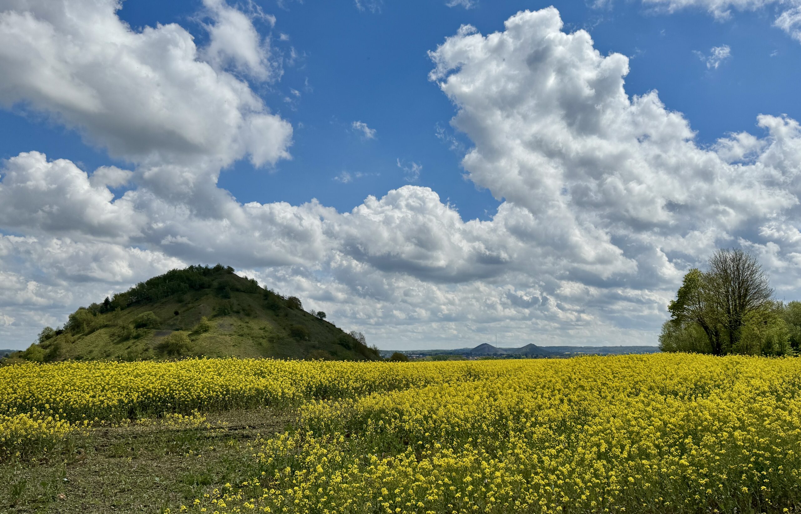
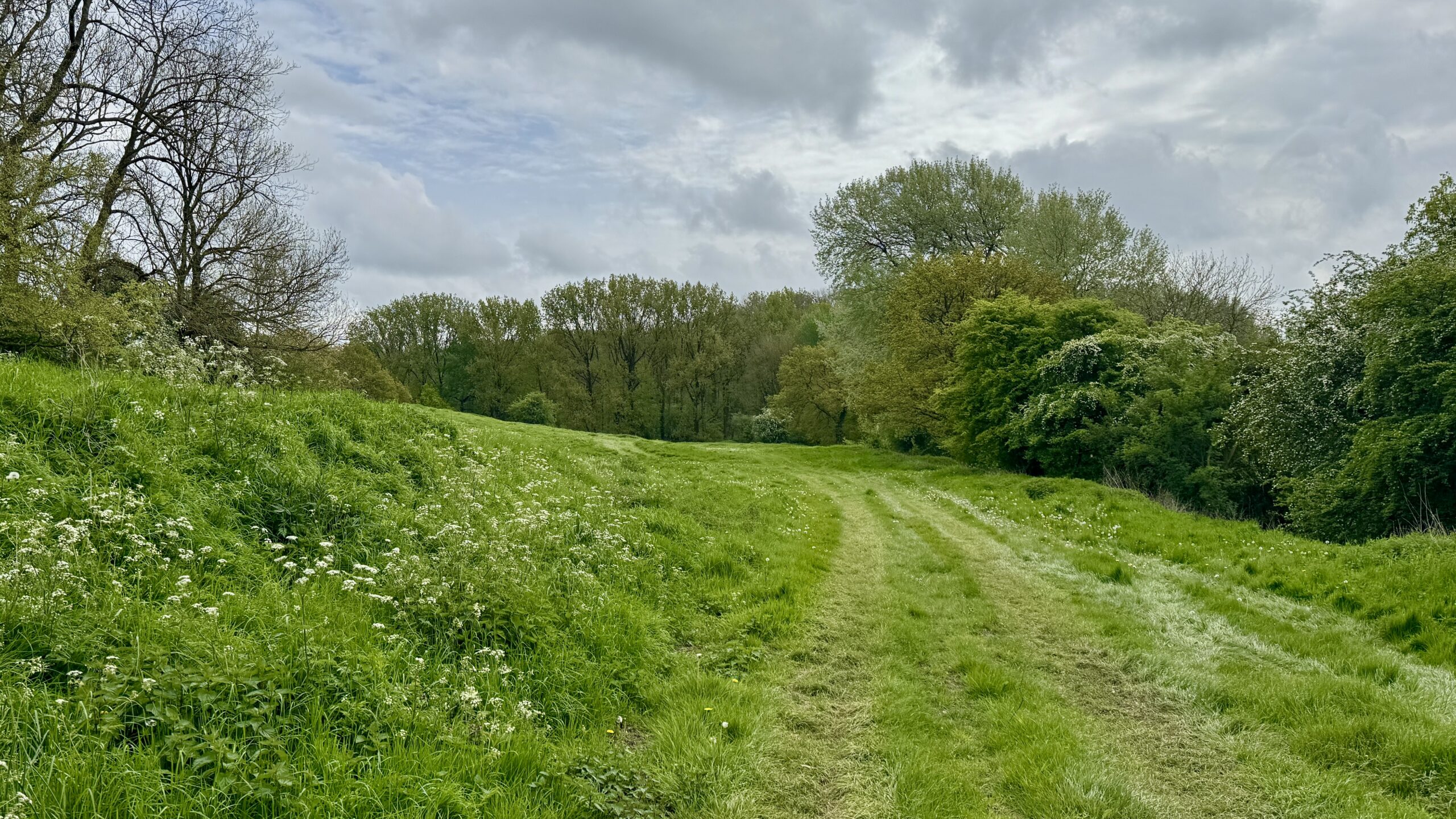
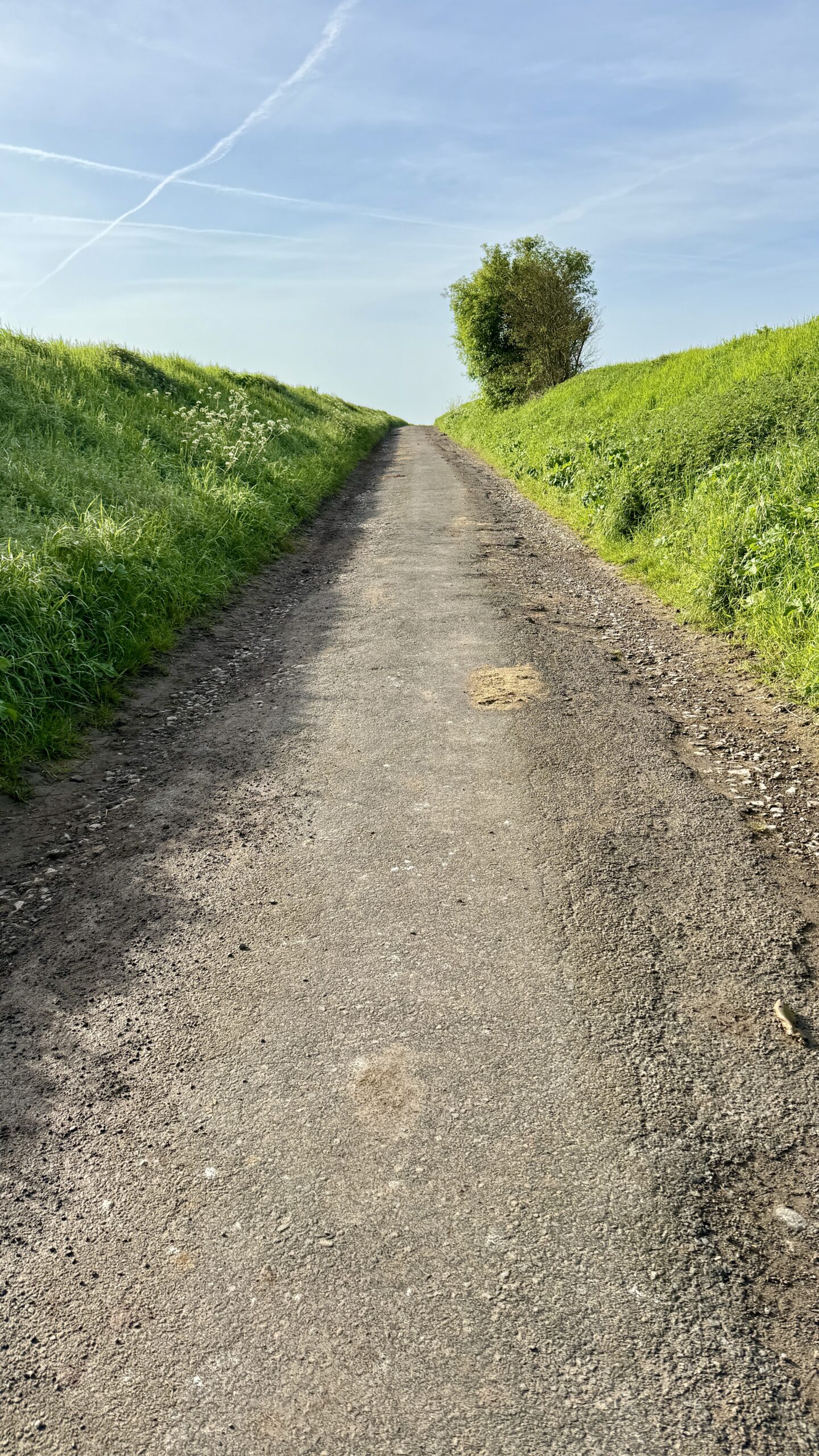
Today’s path often went alongside or between fields. Sometimes, it went straight over them. Now in early Spring, the crops are ankle to knee high. I wonder what it will be like to walk the fields in a few months. Another scene I learned to love in Southern England is the fantastic variety of dramatic cloud formations in the bright blue skies – my iPhone camera did a very good job of catching their drama.
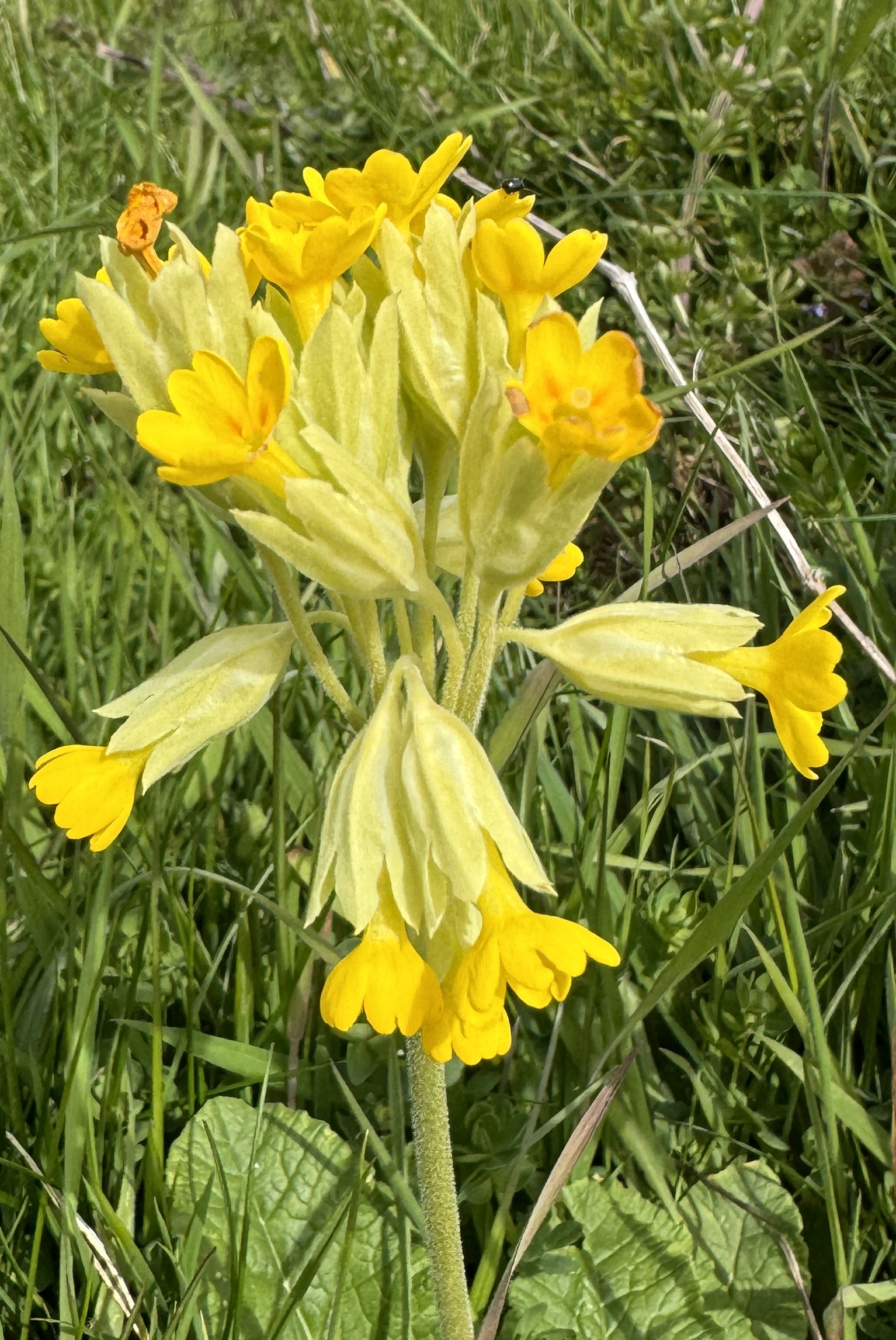
Oh, and I saw Cowslips for the first time this trip.
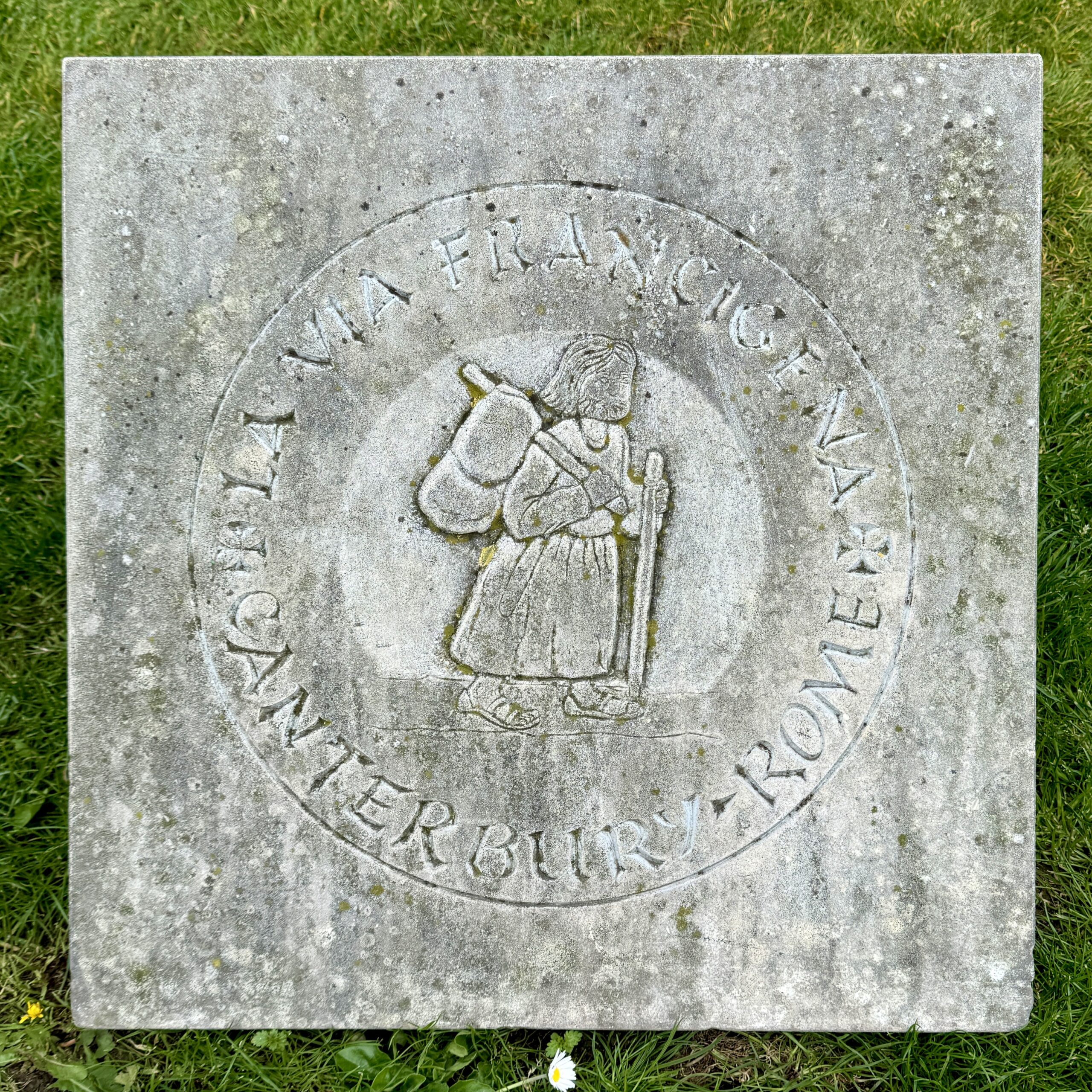
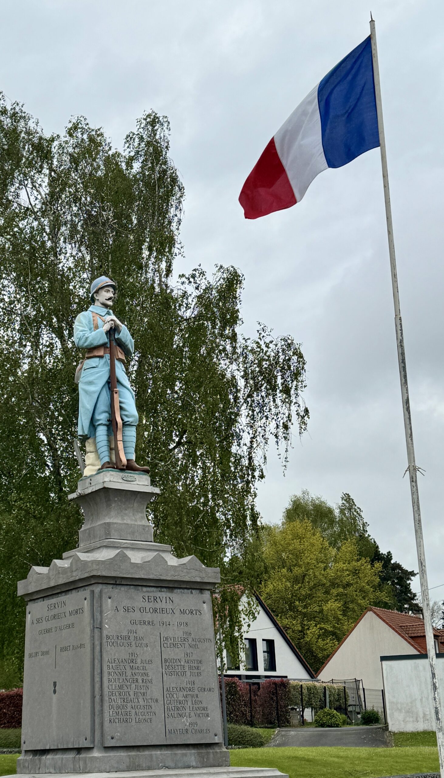
The Pilgrim Stone, from which all distances I walk on the VF will be measured.
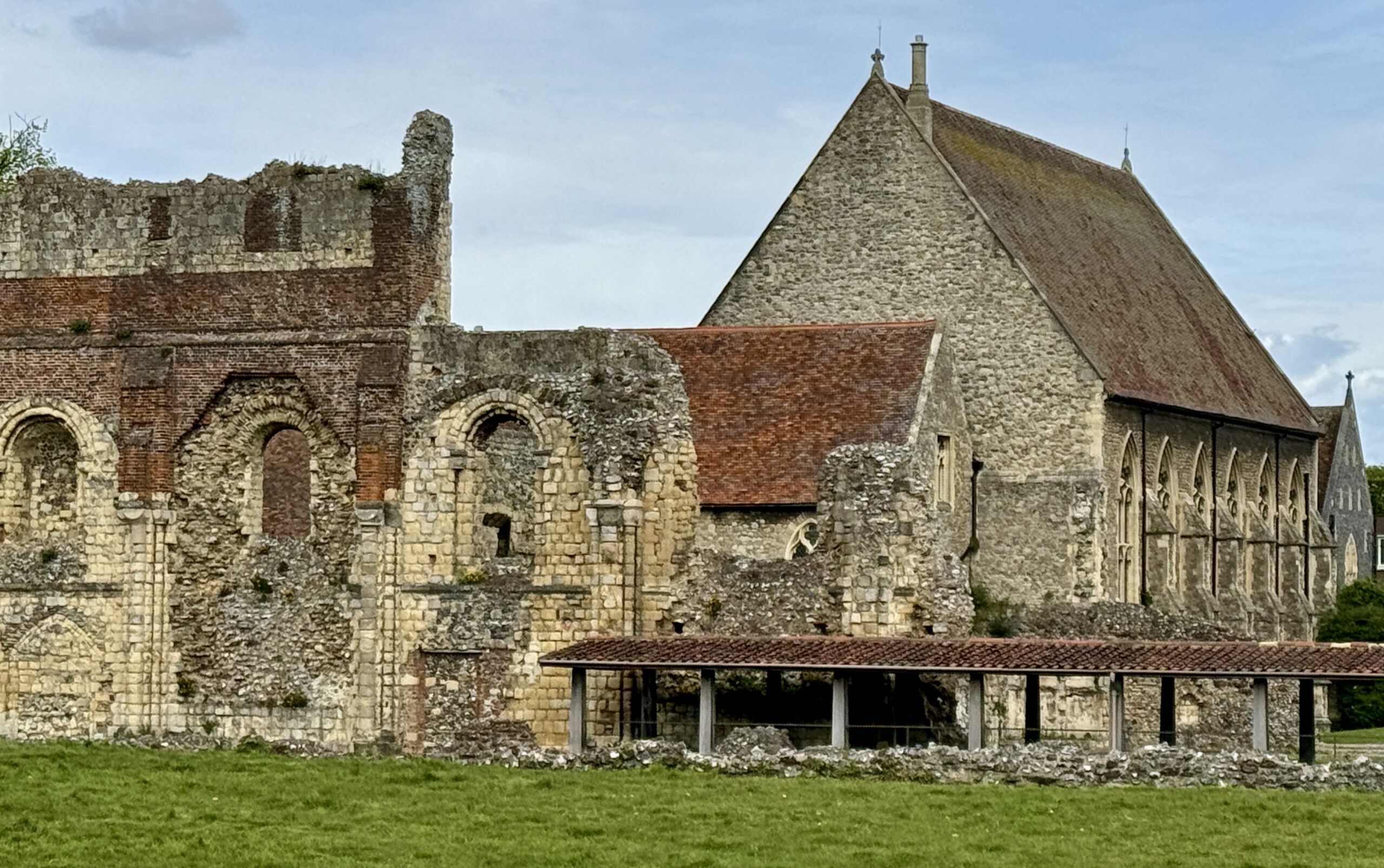
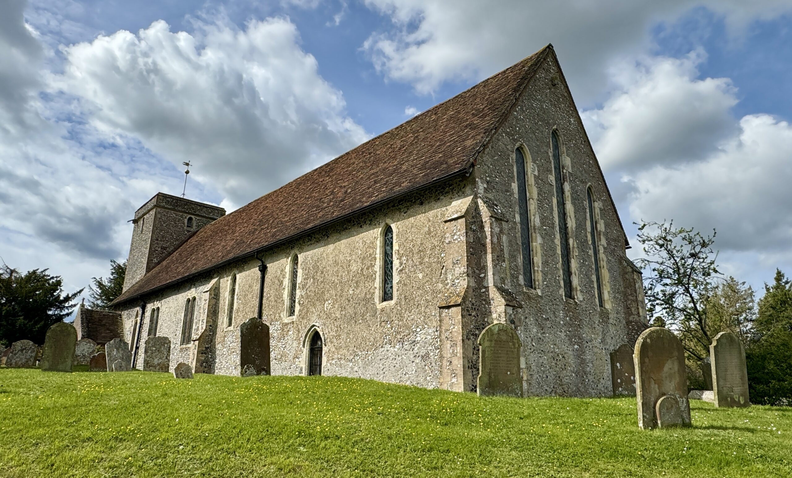
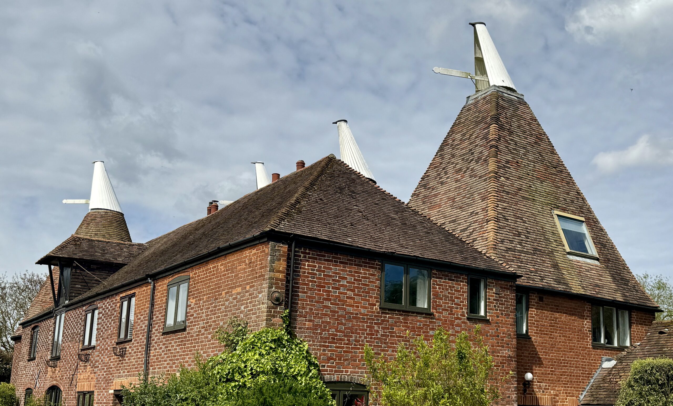
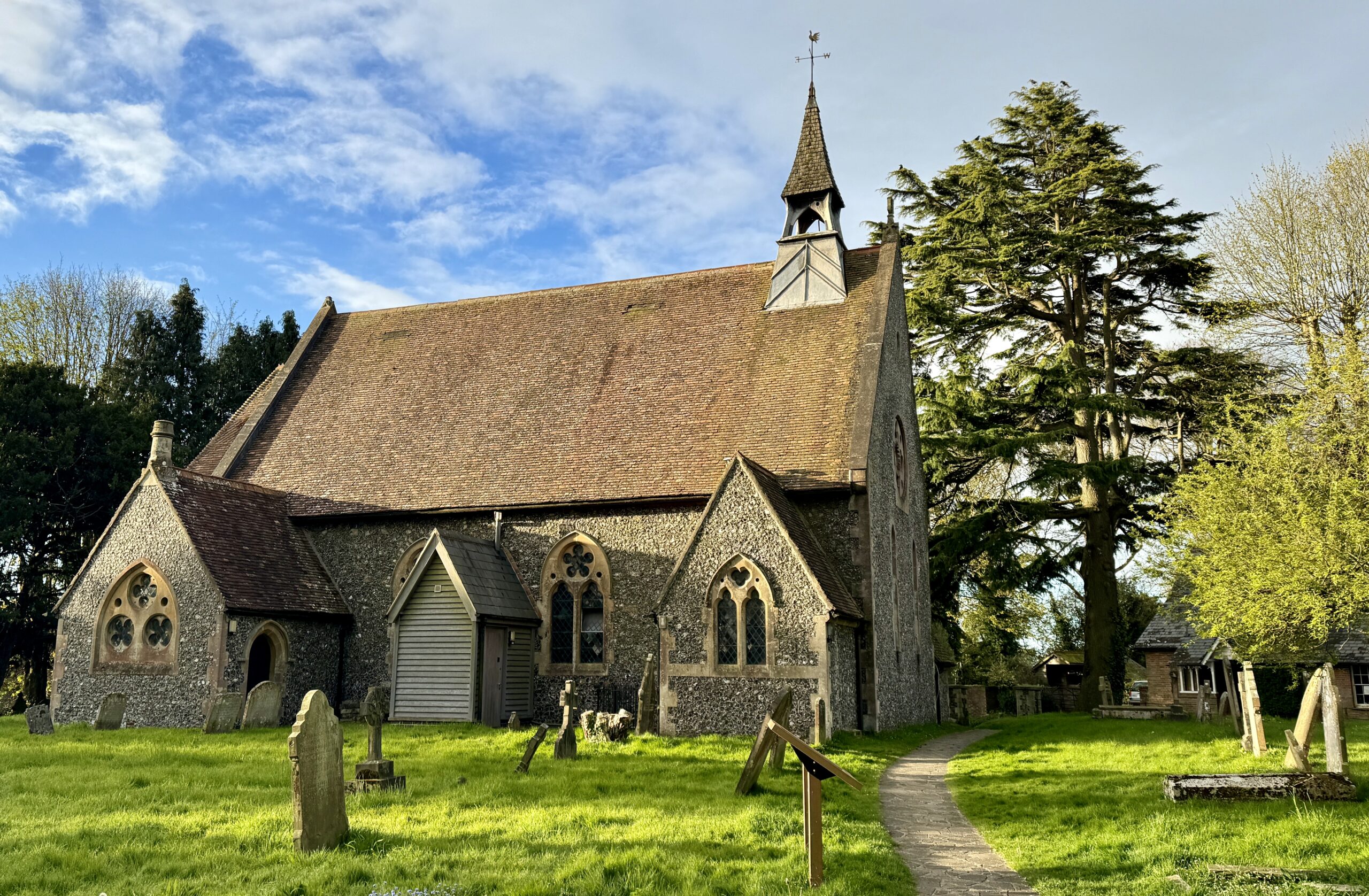
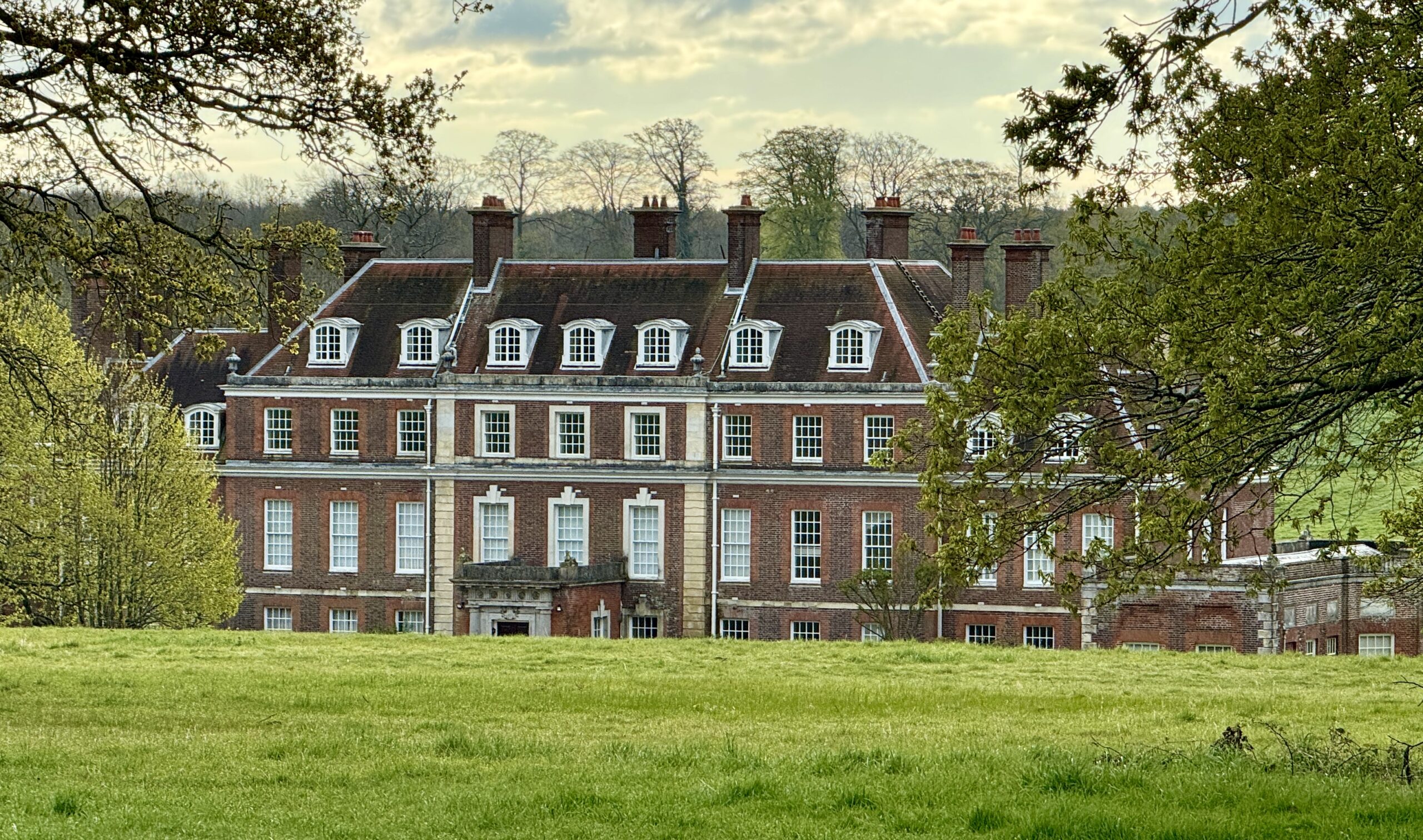
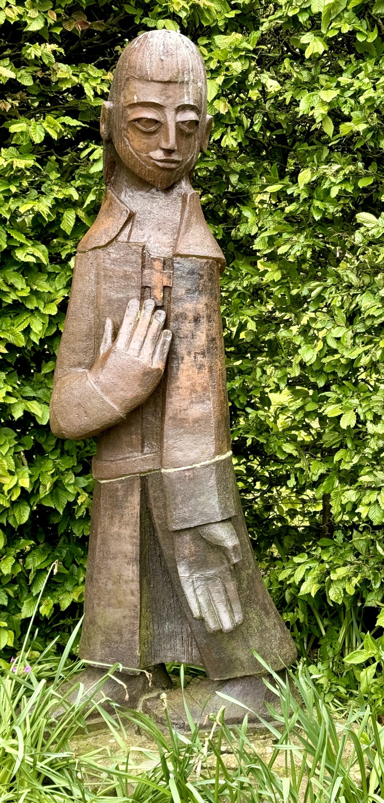
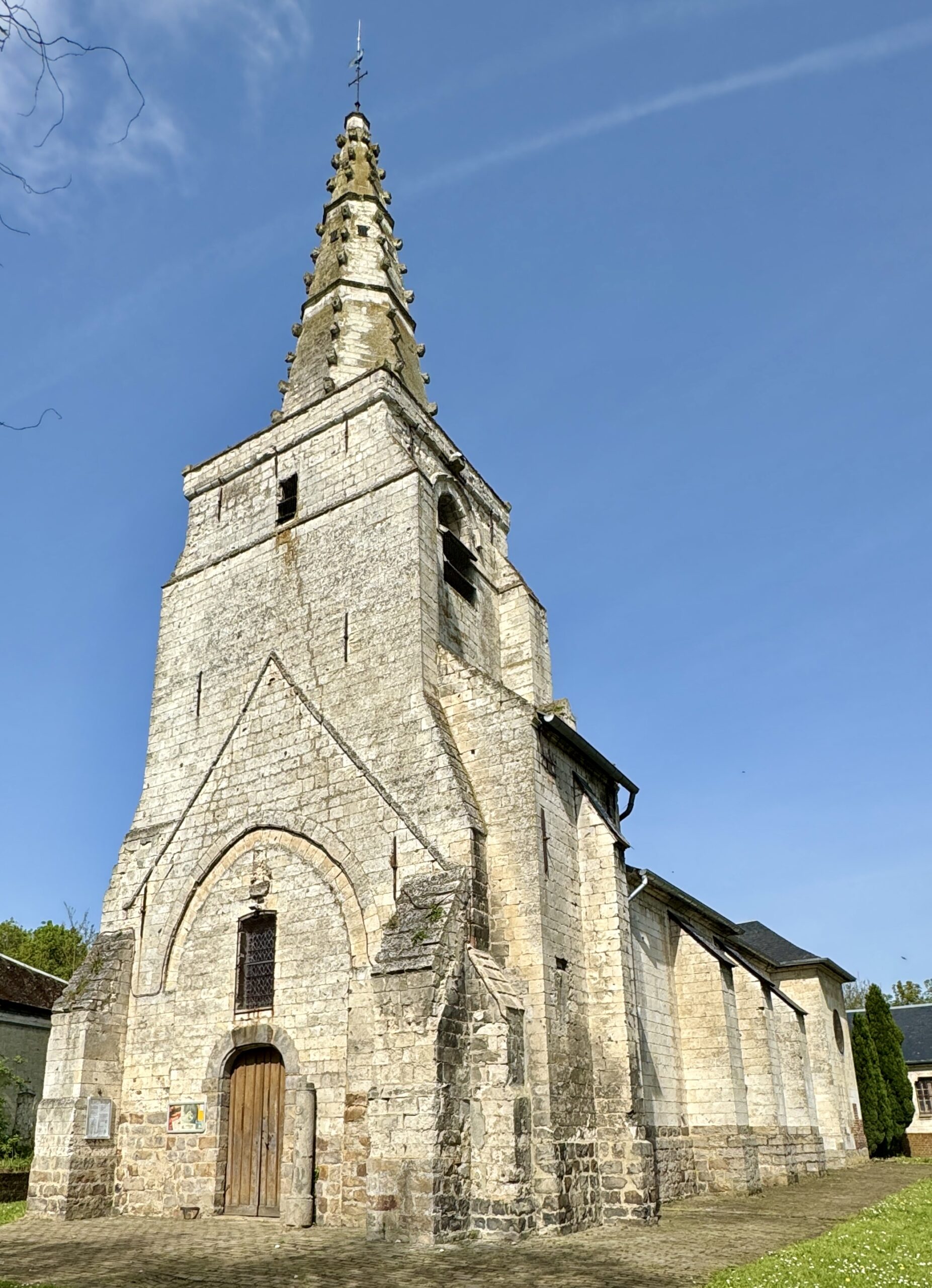
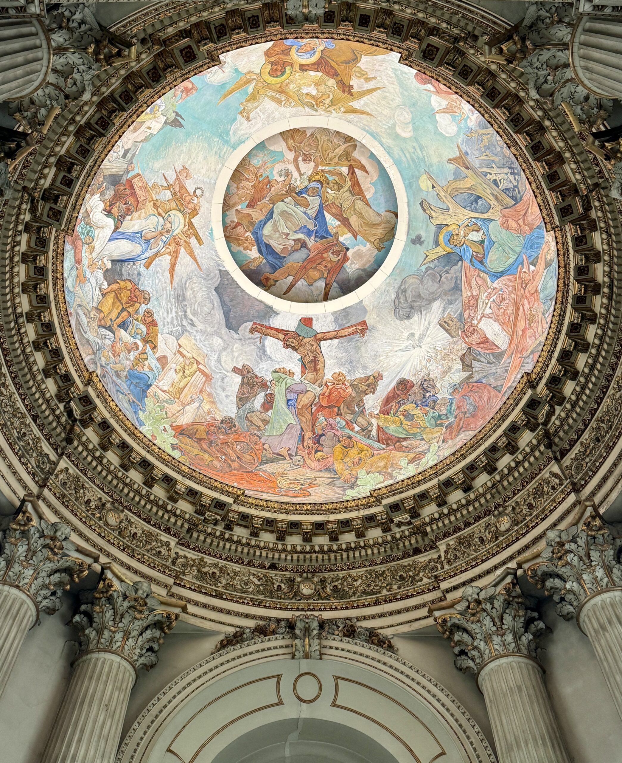
St Augustine’s Abbey was a Benedictine monastery in Canterbury. The abbey was founded in 598 and functioned as a monastery until its dissolution in 1538 during the English Reformation. I expect to see a lot of “old” buildings on this walk. As an American, I will have to recalibrate just what I mean when I call something “old.”
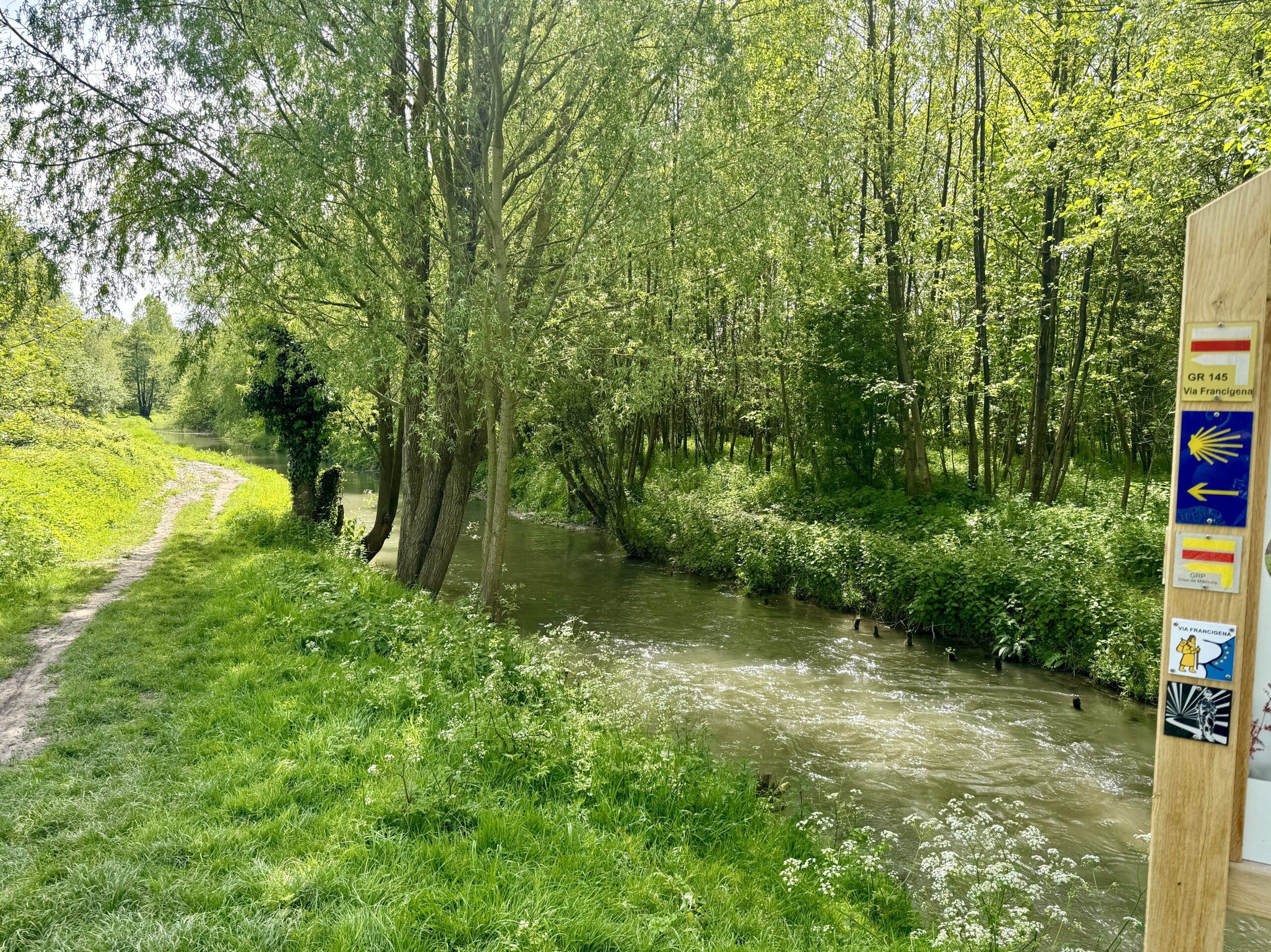
Every now and then on the VF, there are sign boards describing the path, its history, and its current use. I was often surprised to find how few locals understood it to be anything more than a local footpath, despite the map of Europe.
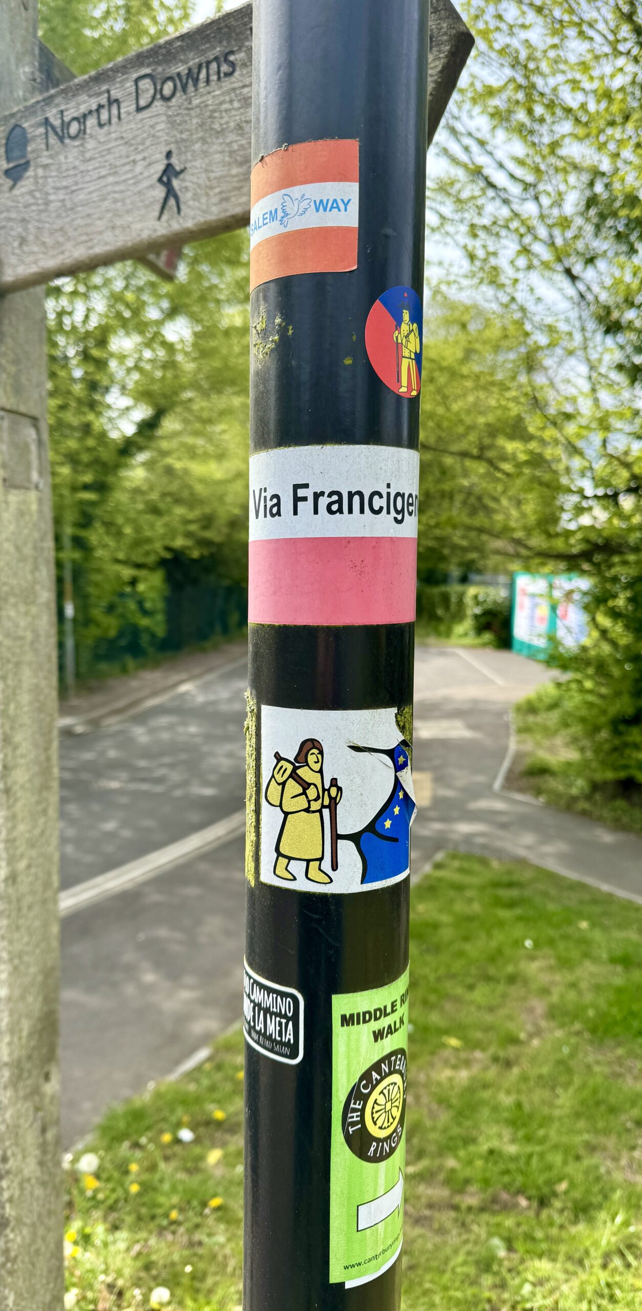
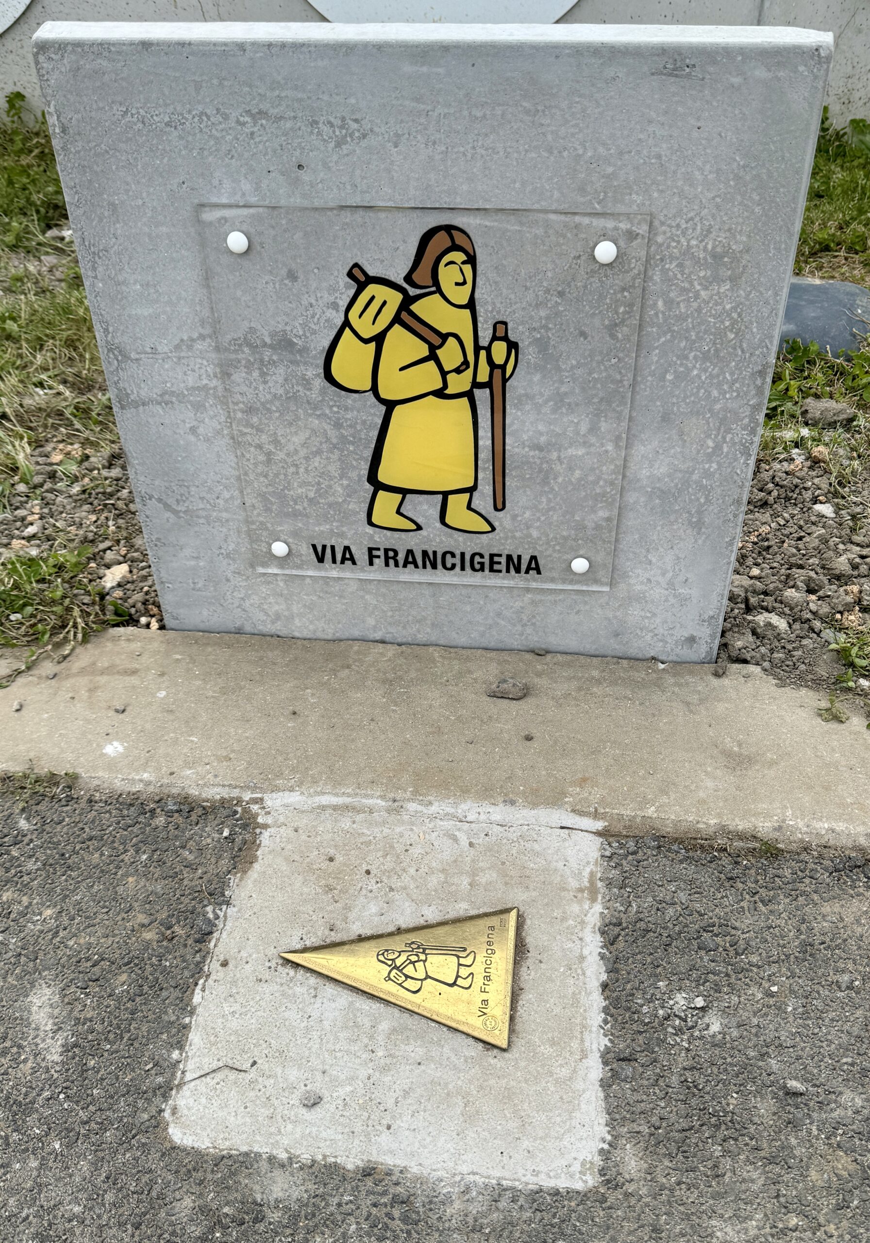
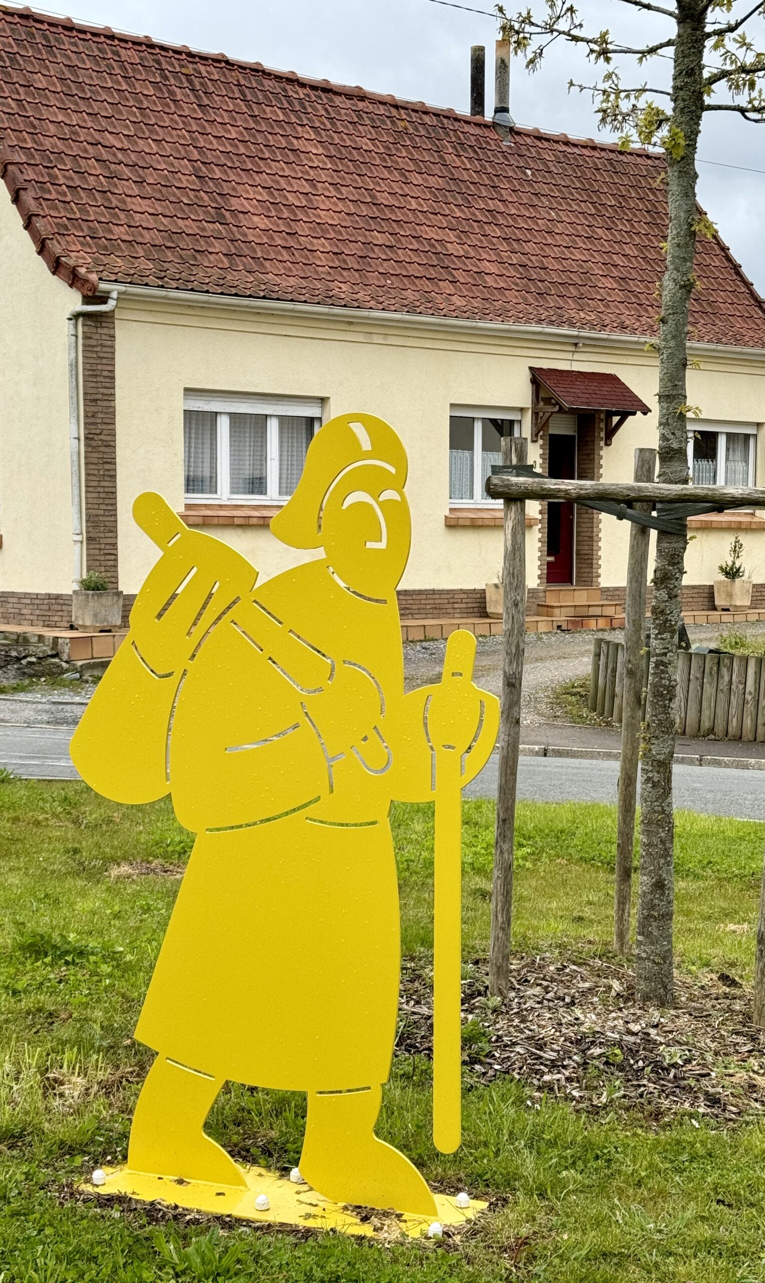
Much more frequent and essential are the small stickers, signs, and painted arrows that confirm my route, or identify other routes that pass the same location. The “little yellow man” is the icon that best symbolizes the Via Francigena – just as much as the scallop shell represents the Camino de Santiago.

Very quickly, we were through Canterbury’s residential neighborhoods and back into the fields.
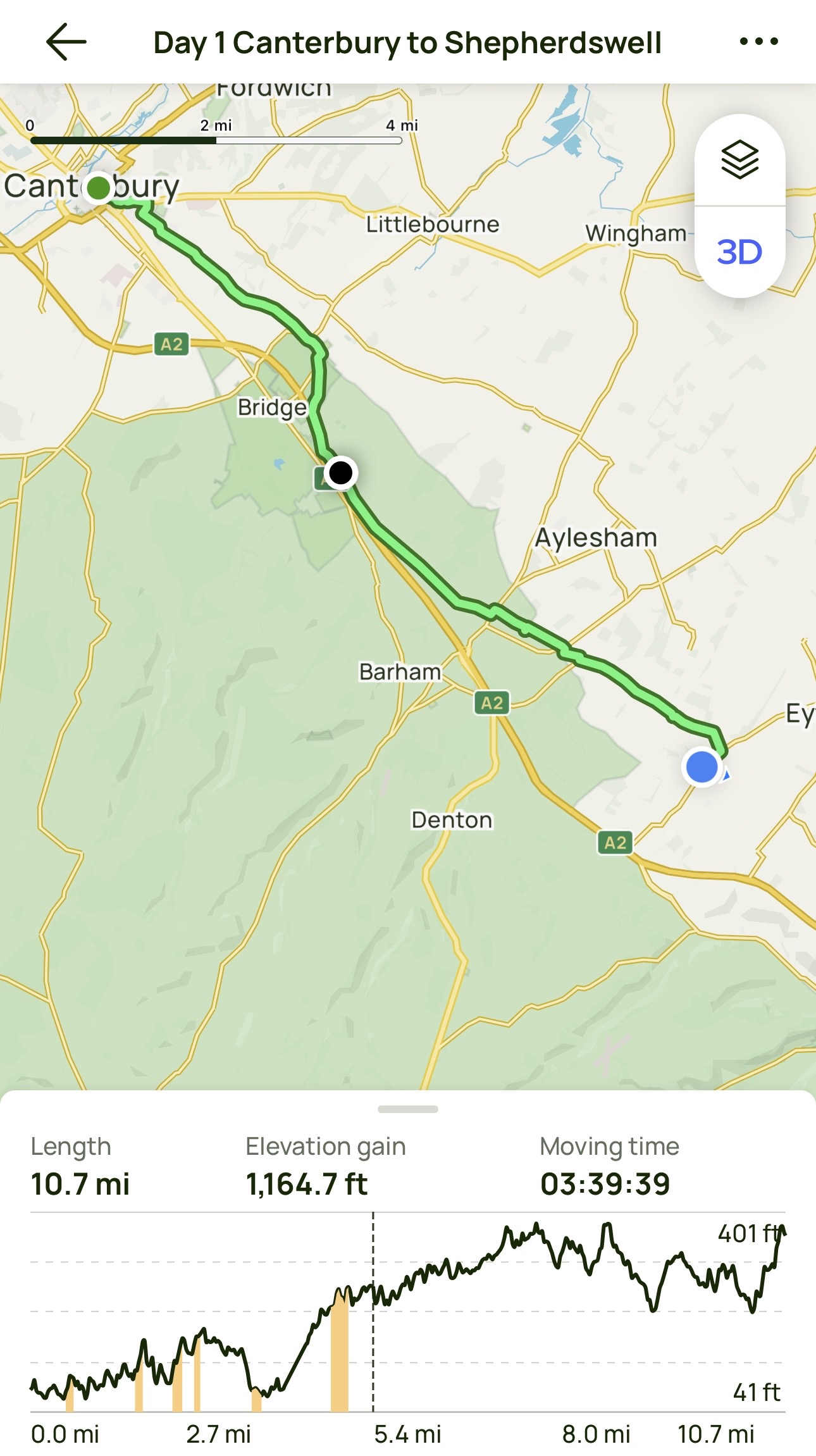
Day 1 AllTrails Stats
Distance: 17.3 km / 10.7 miles
Elevation Gain: 355 m / 1,165 feet
Steps: 26,526
Relive: https://www.relive.cc/view/vRO7eoYY3Kq
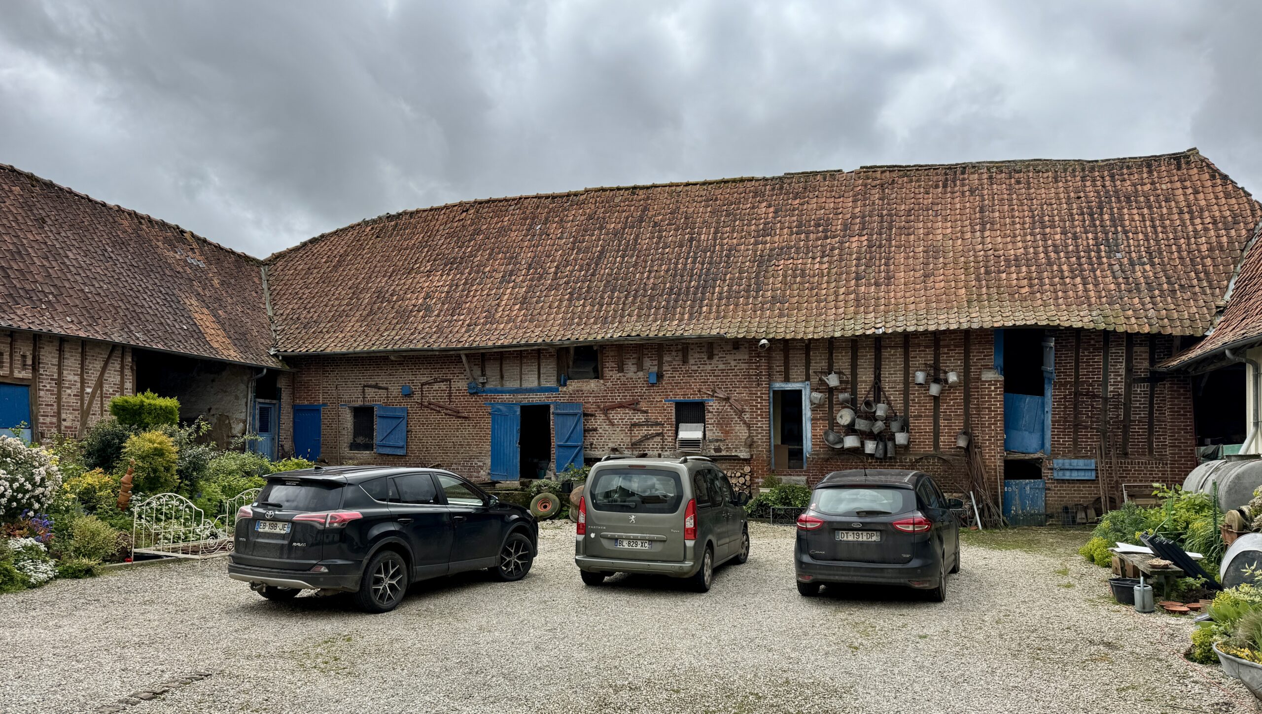
Accommodation: Private home, listed by the EAVF
It was a great start on my penultimate day in the UK. Tomorrow: the coast, the channel, and France!
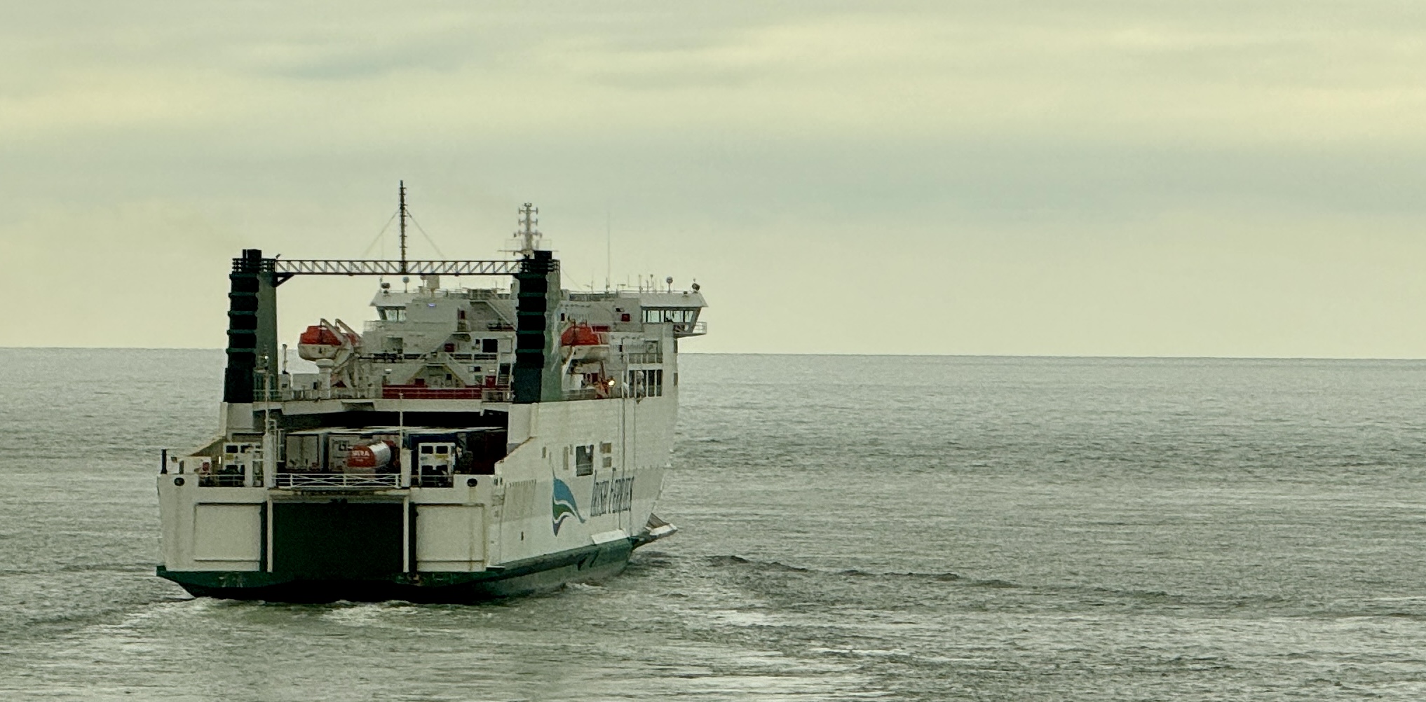
Day 2: Shepherdswell to Dover (Calais)
My last day in England started early. I had pre-booked passage aboard the 1:45pm ferry across the English Channel to France, and expected it would take me about 4 hours to walk to the coast. Additionally, I knew I had to arrive at the terminal at least 90 minutes before departure, and that the route from Dover town center to the check-in was confusing and hazardous. True enough, in a congested area designed only for motor vehicles and devoid of pedestrians, I made a couple of wrong turns (or rather, Google Maps misguided me), so I was glad I left some wiggle room in my schedule.
To reduce illegal migration, the UK government actively discourages foot traffic over this border. As a result, only one of the many ferry companies allows “foot passengers,” aka pilgrims, and then only on two of their ferries each day, with a limited number of passengers per voyage, and only if tickets are purchased at least one day in advance. Whew! Did you get all that? I am pleased that my guidebook presented all of this information accurately – it took a bit longer than I expected, but not any longer than I had allowed for. Rarely, on a long walk like this, do I ever have to think about this much detail. A pilgrim’s life is a very simple life: walk, eat, sleep, repeat.
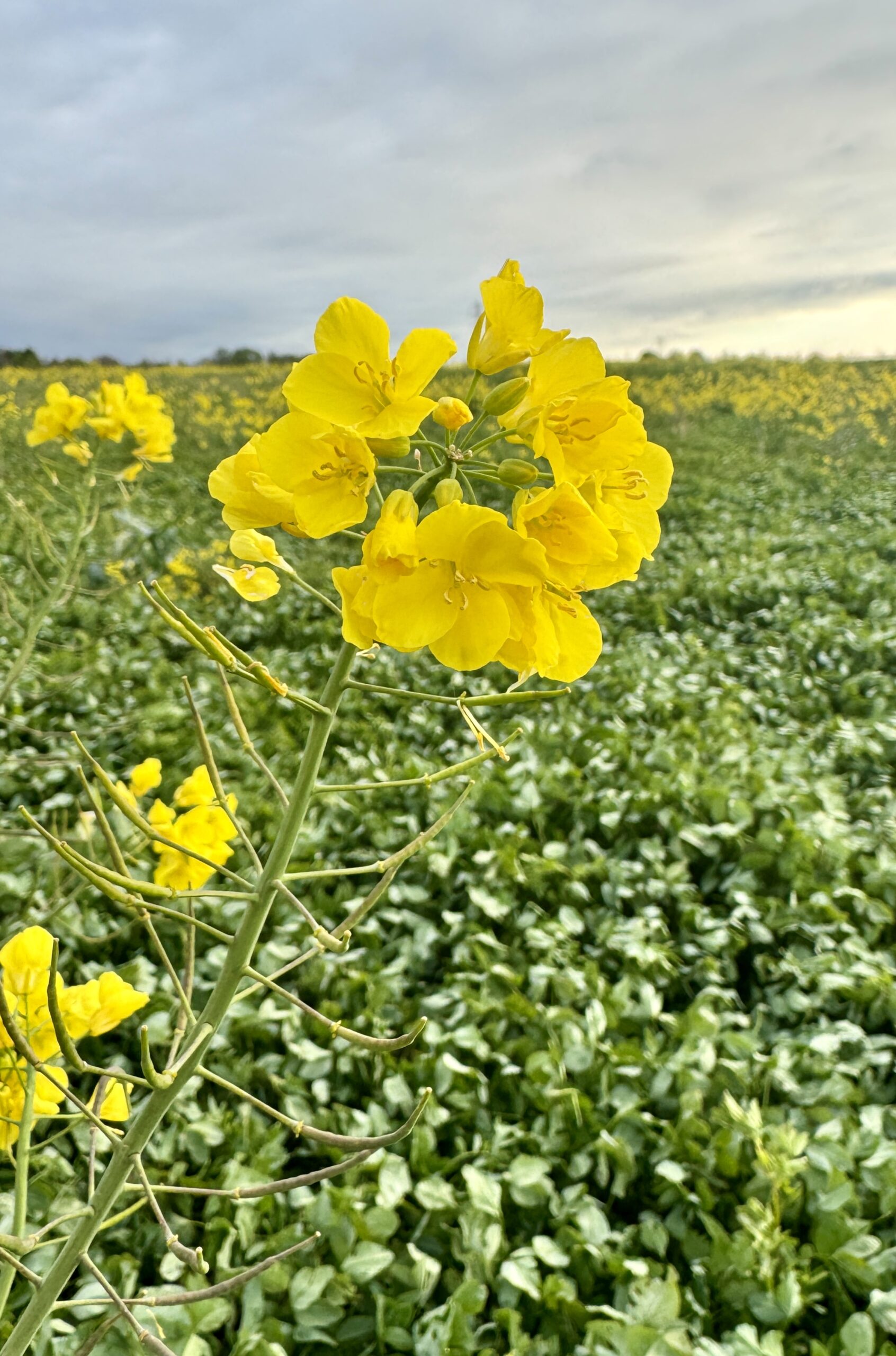
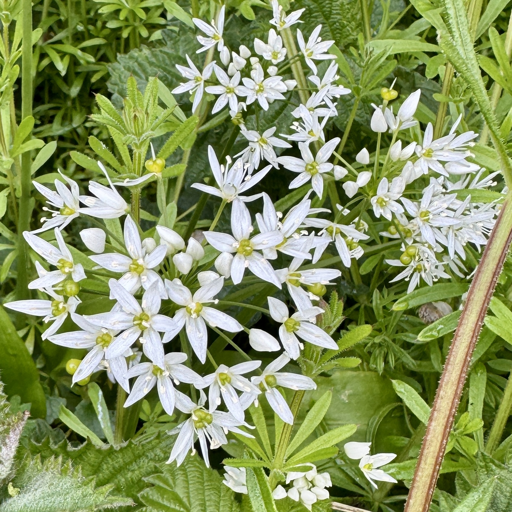
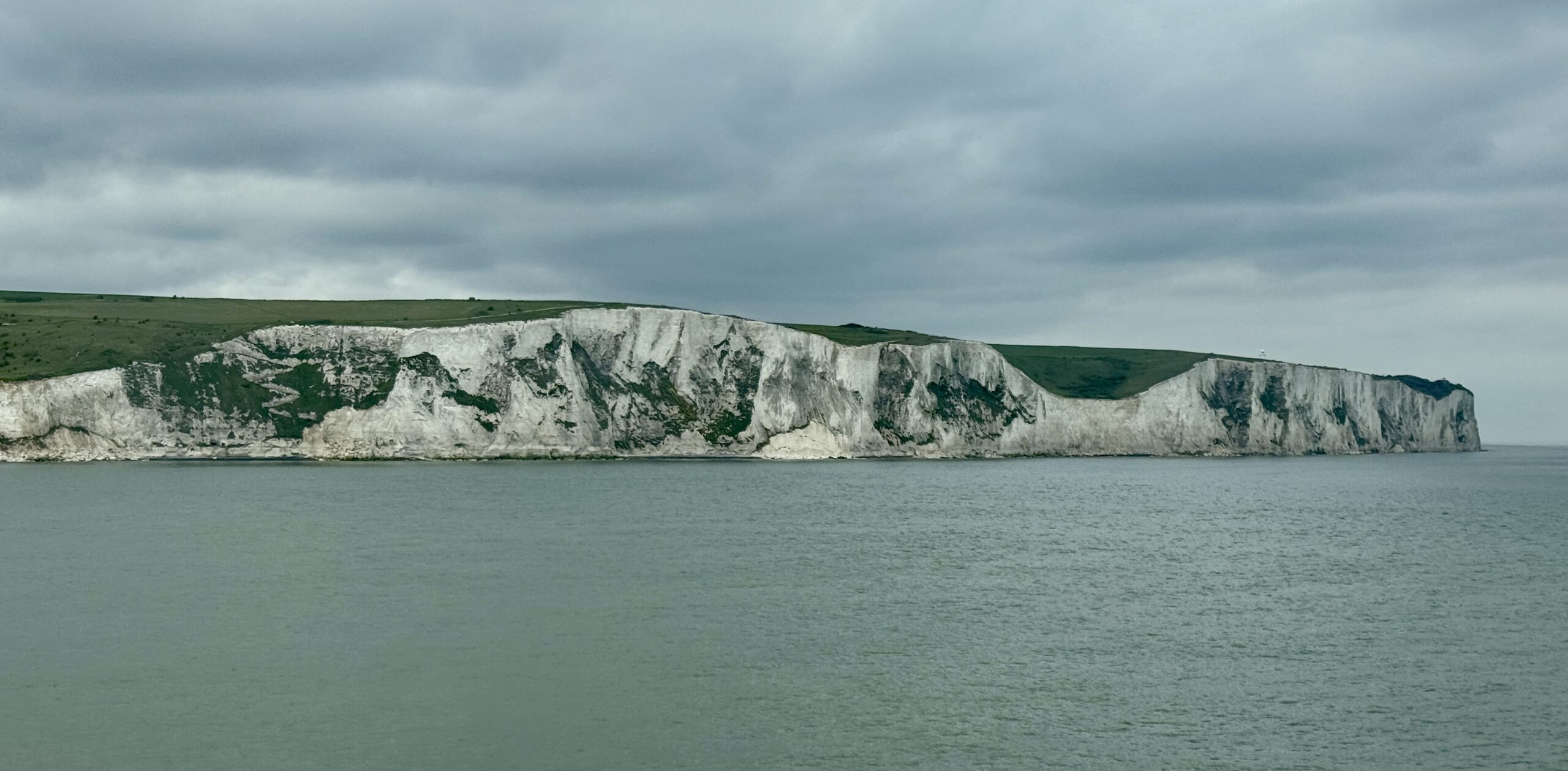
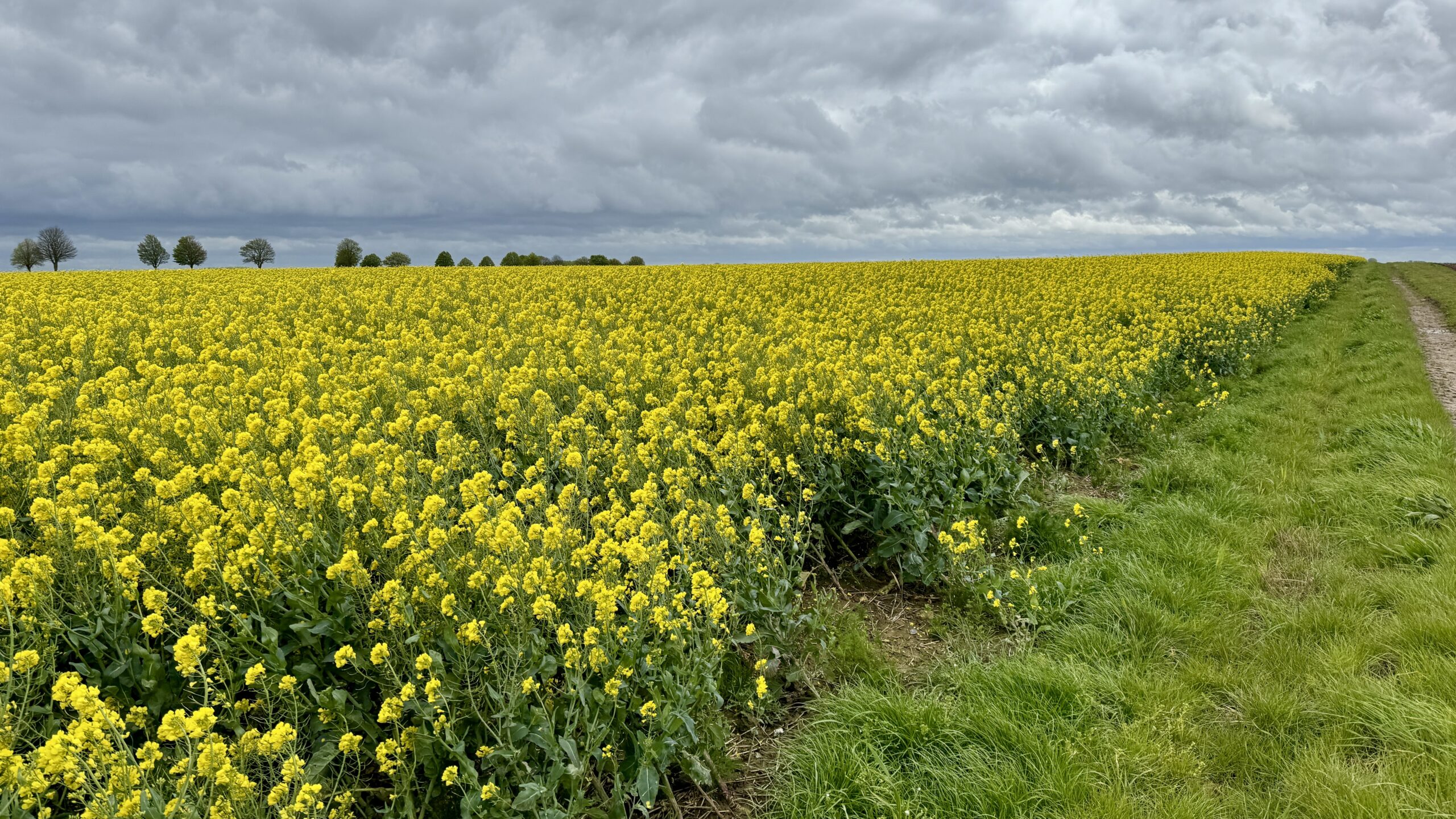
The walk itself was very familiar, and I was happy to finally see a Rapeseed plant up close and catch a picture of the Wild Garlic that I had often smelled but had never seen over the past three weeks. Another unique highlight was my first glimpse of the sea since walking in this hemisphere.
A common feature of traditional pilgrimage routes is a “pilgrim’s passport” or “credential,” into which one collects “stamps,” the ink markings of a rubber stamp. Paraphrasing Wikipedia,
Most pilgrims purchase and carry a document called the “credential,” which gives access to overnight accommodation and other benefits along the route. Also known as the “pilgrim’s passport,” the credential is stamped with the official rubber stamp of each church, lodging, restaurant or bar that the pilgrim visits. It provides pilgrims with a record of where they slept or ate and serves as proof to the Pilgrim’s Office at the ultimate destination for the pilgrim to be awarded a certificate of completion.
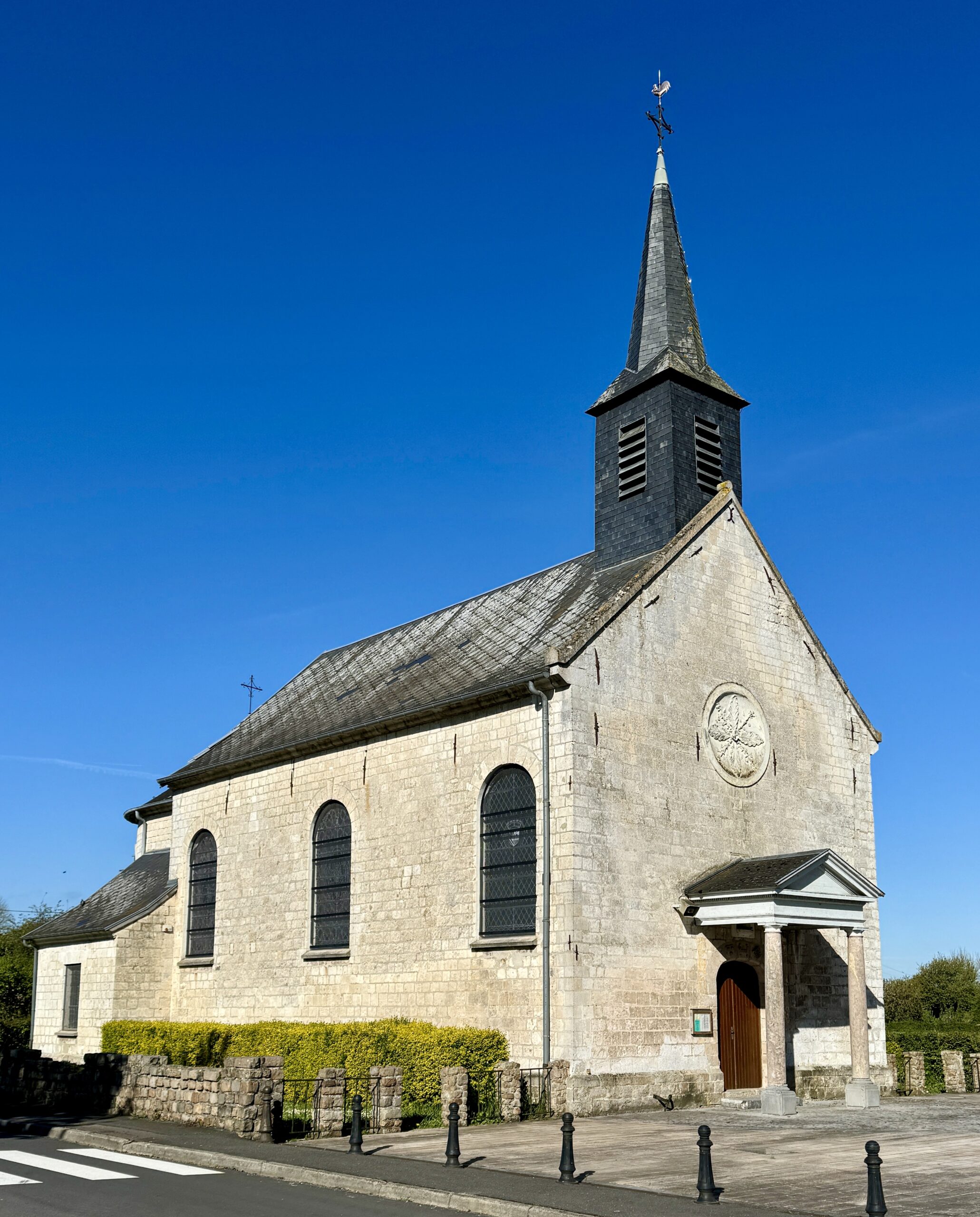
This system works very well along the better-known routes of the world, but not so well on the less-popular Via Francigena. It will surely improve as awareness of the VF grows and more walkers set out on its trails. It will also be helped when the numerous churches along the way open their doors at times other than for weekly services. More churches I passed today were closed than open, and I expect that will continue throughout much of my walk.
My first view of the ocean at the English Channel.
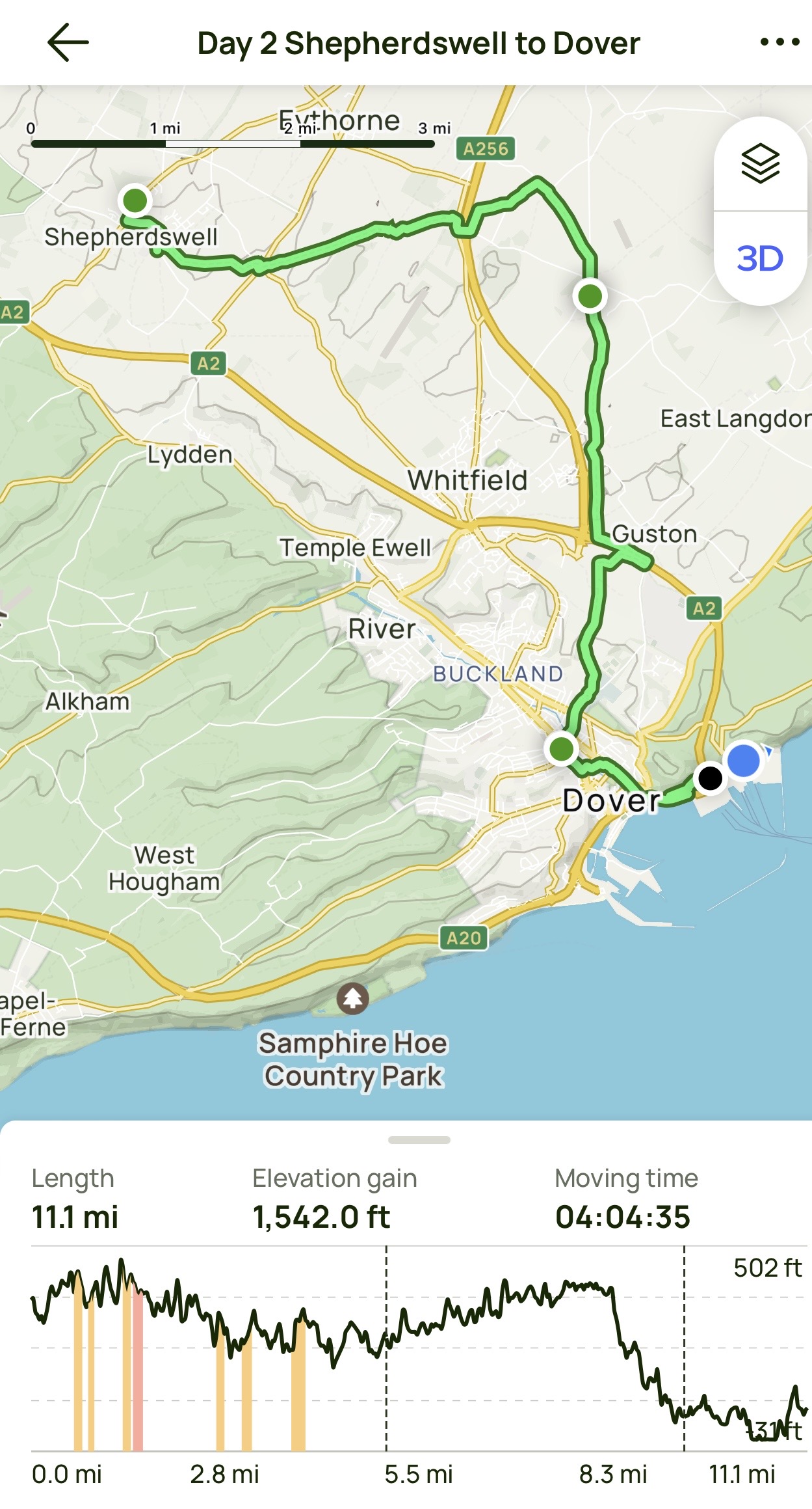
Day 2 AllTrails Stats
Distance: 17.9 km / 11.1 miles
Elevation Gain: 470 m / 1,542 feet
Steps: 31,750
Relive: https://www.relive.cc/view/vrqo5eRnNyO
Accommodation: Hotel Meurice de Calais
As I crossed the English Channel to France, I wondered how many times I’ve traveled between these two countries in my life. Too many to count, but none for many years. I am reminded of Heraclitus, ≈500 BCE:
No man ever steps in the same river twice, for it’s not the same river and he’s not the same man.
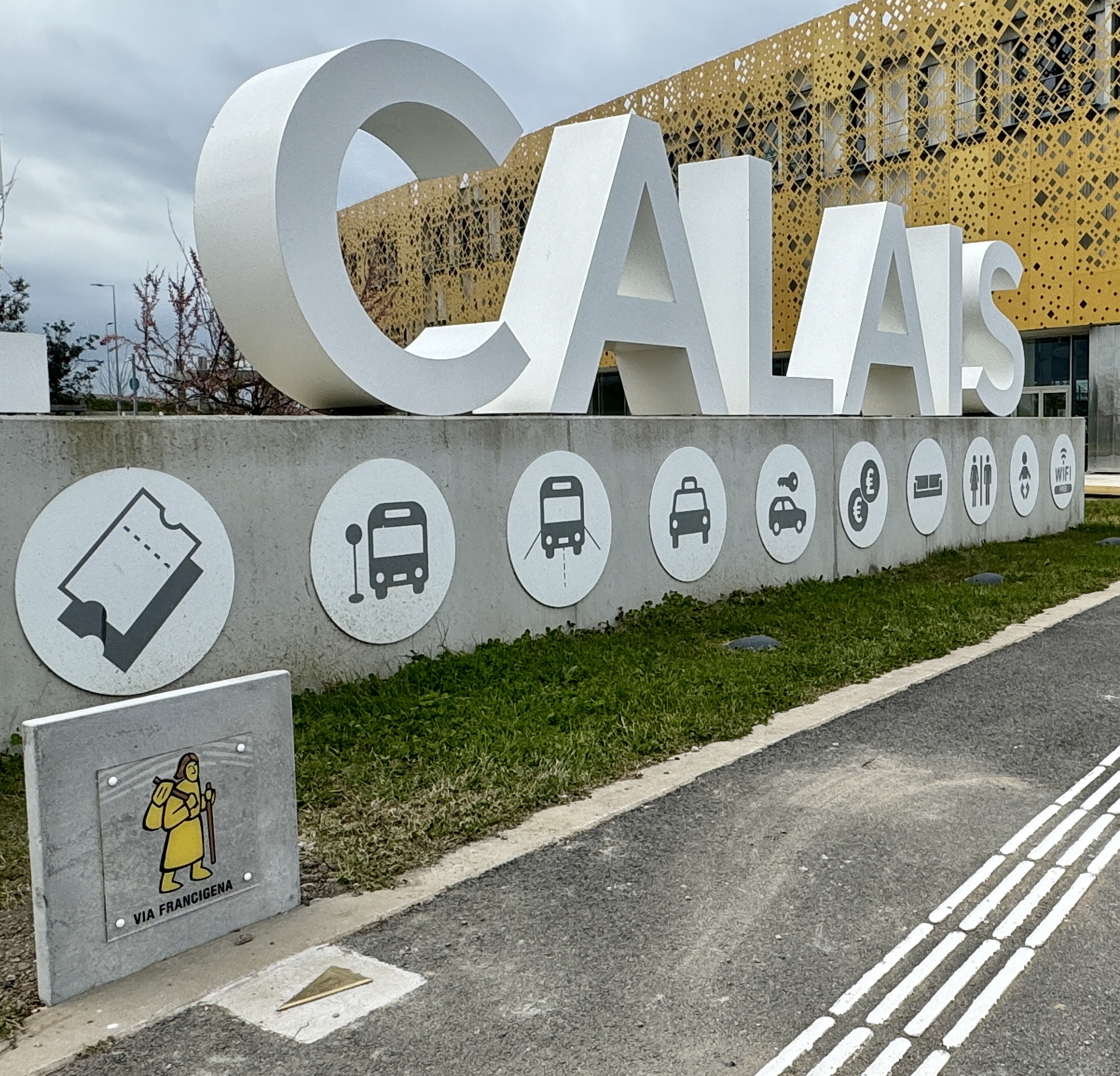
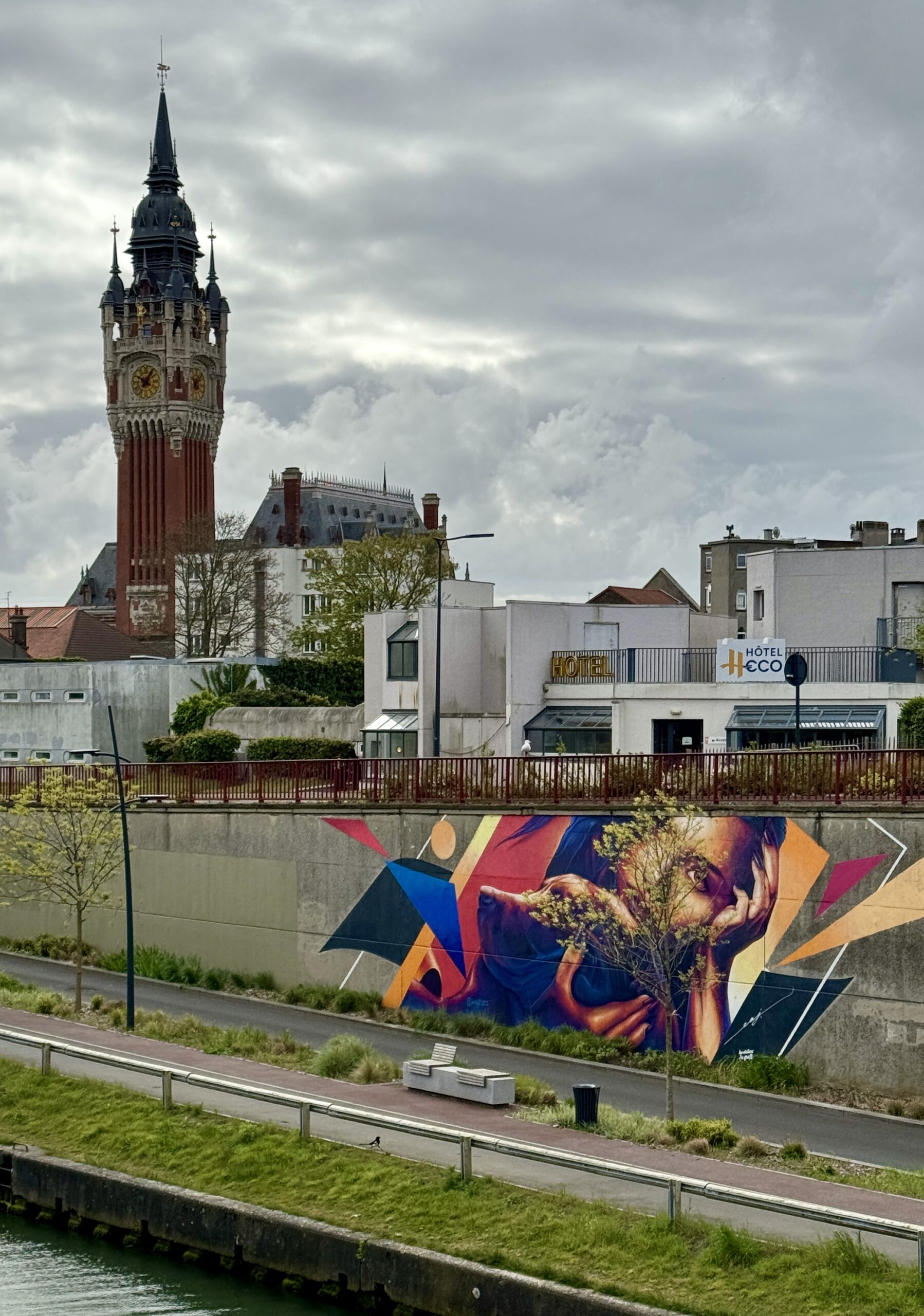
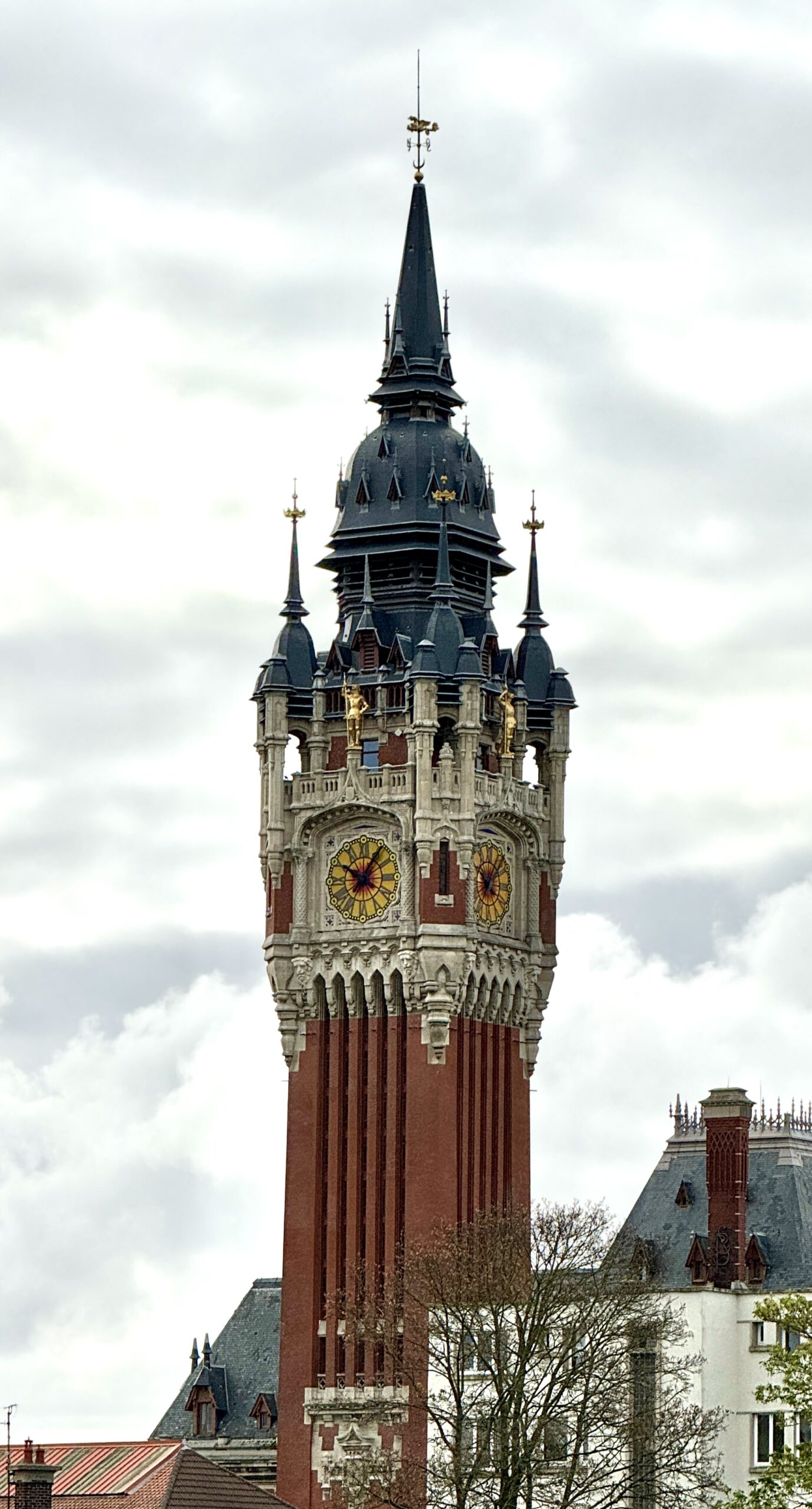
It is nice to be back in France, and I hope my tongue starts to wrap around the language again soon. I was particularly encouraged to find a VF sign right away, until I realized that it’s actually impossible to walk out of the port on foot. The free shuttle dropped me off in the city center, where I checked into my accommodation before exploring the town and eating the first of many delicious French meals to come!
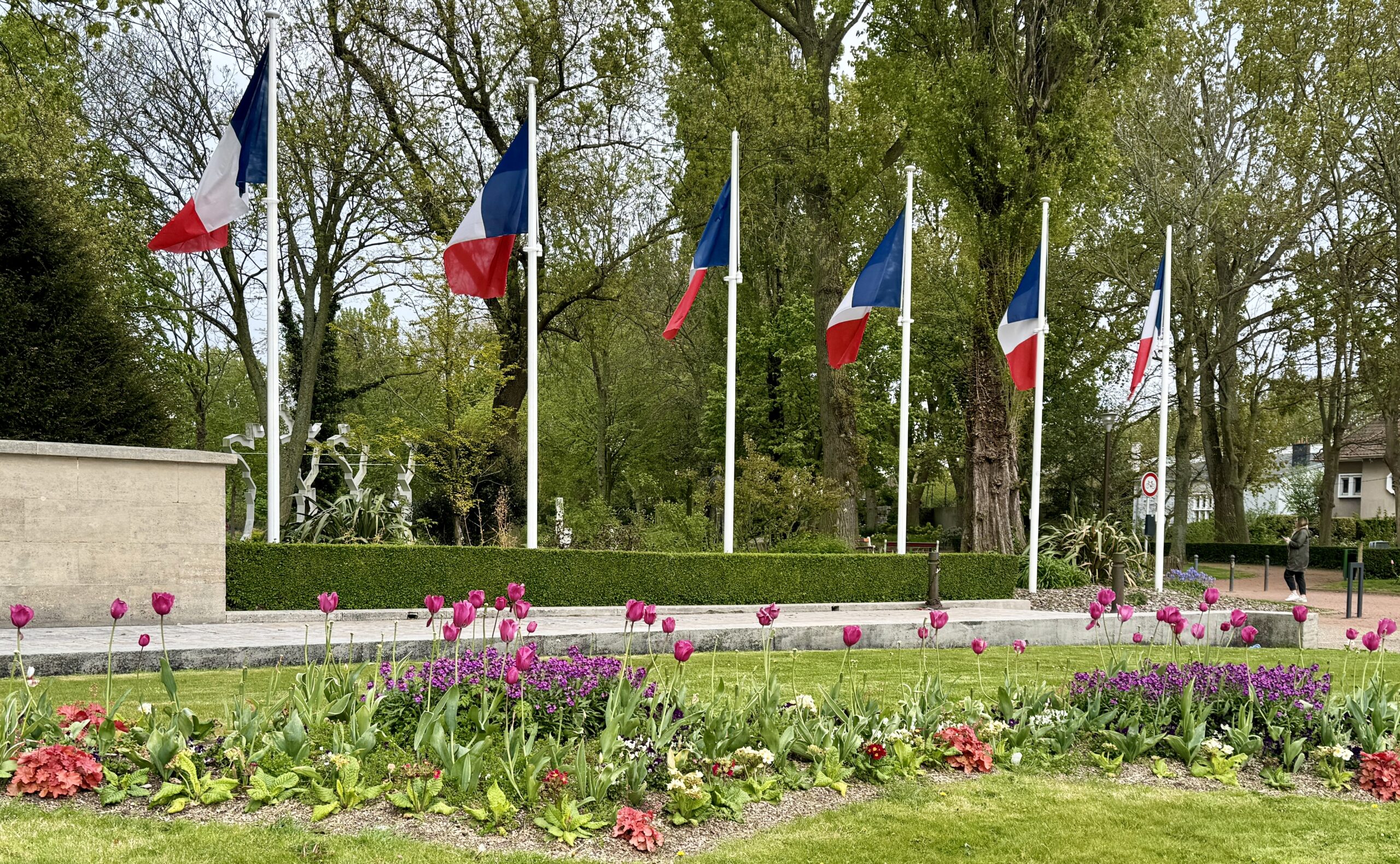
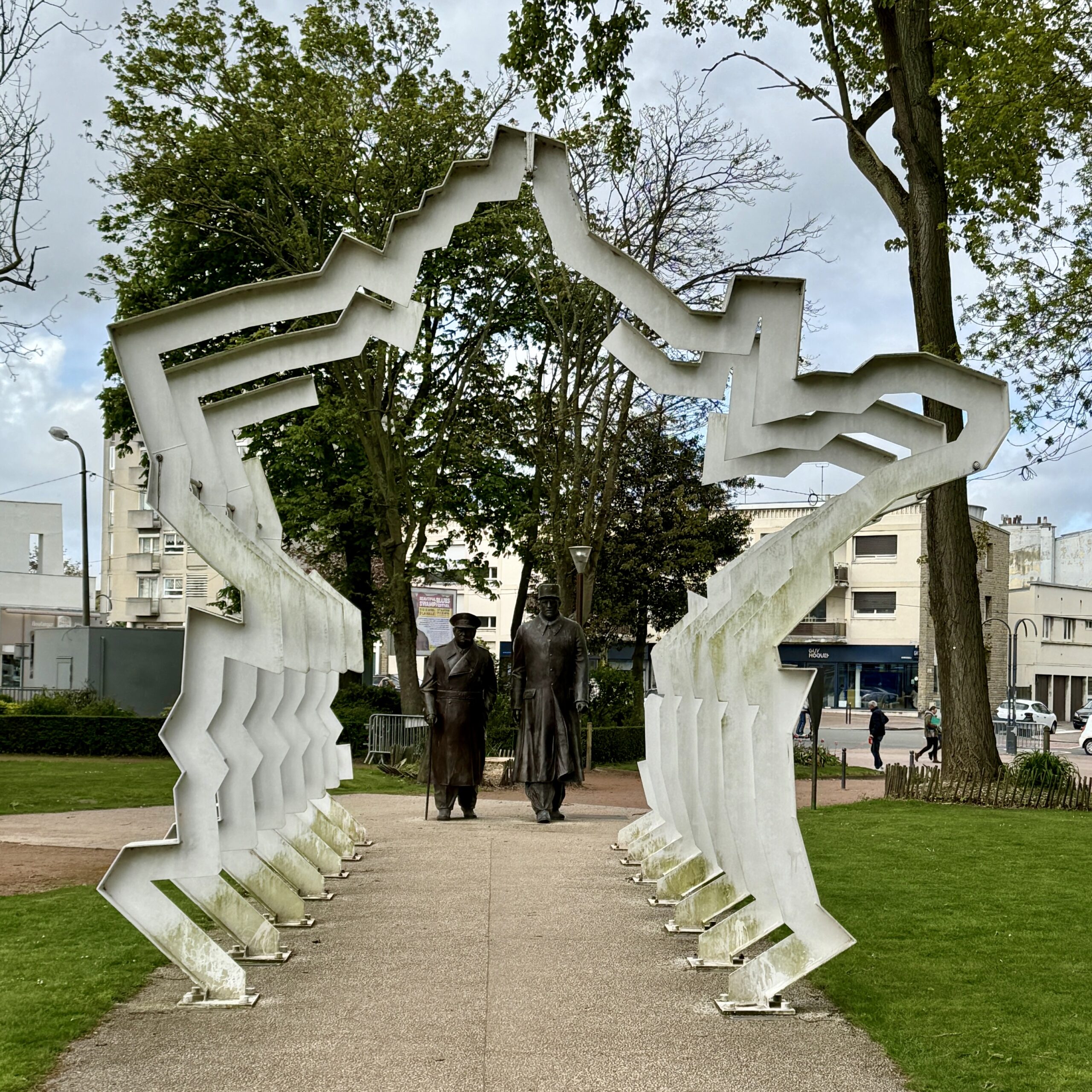
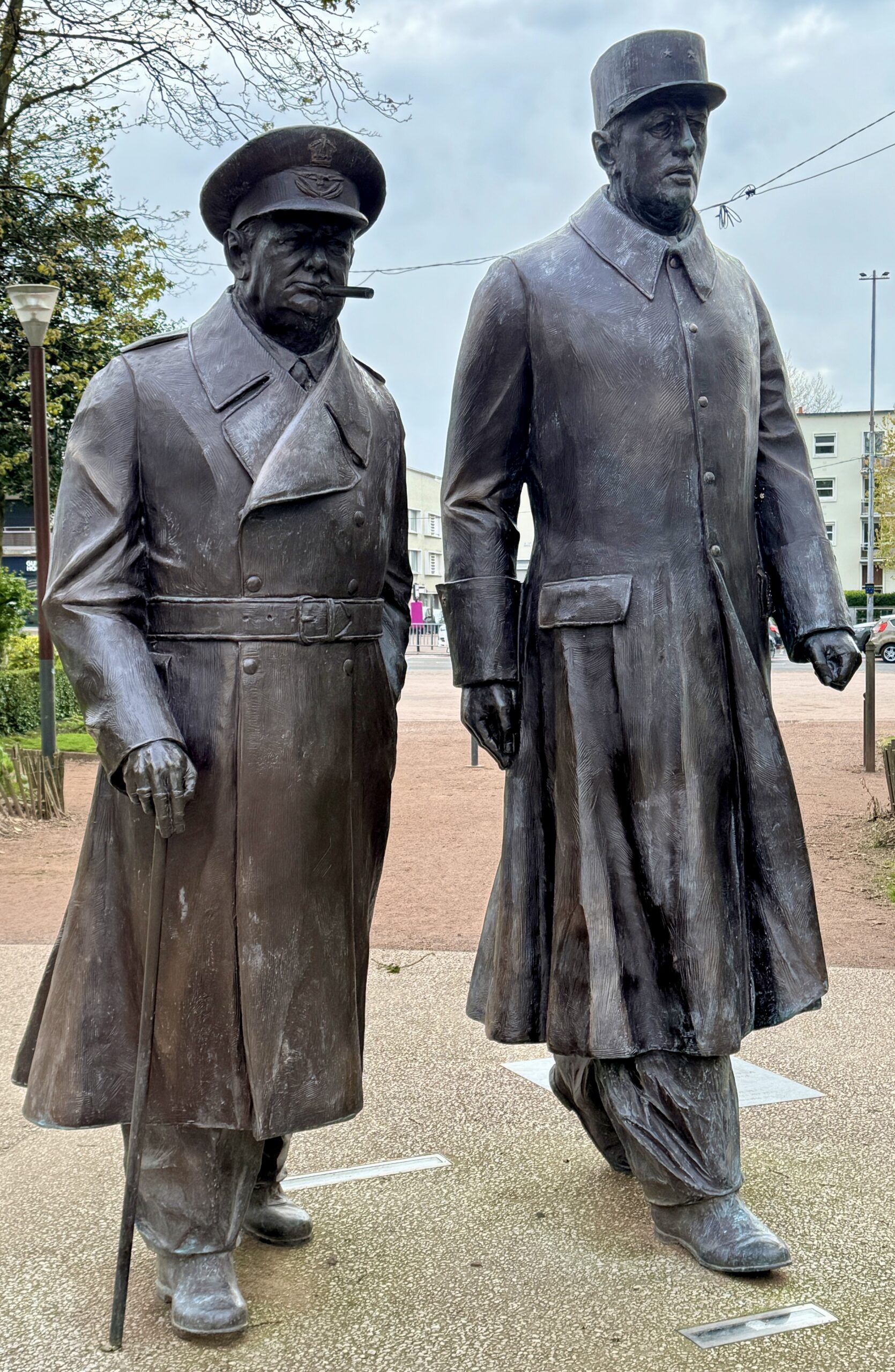
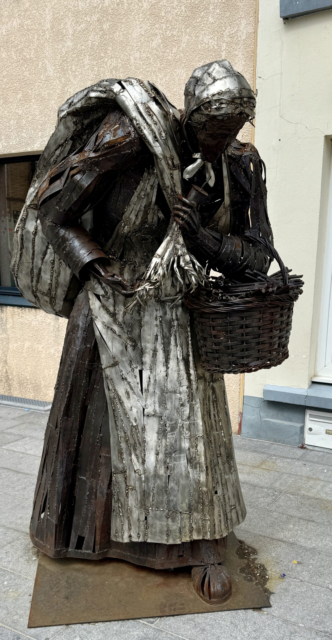
Public Art
Tonight, ready to start walking on the continent again, I have a big decision to make. But first, I’m going to sleep on it…
Day 3: Calais to Licques
My first day walking in France became a long one, as I decided to bypass two standard stages and walk the combination of two others. Why? Because I had a predicament:
The standard VF routing from Canterbury to Rome is 105 stages, of which only the 2 in England are outside the Schengen Area countries. This means that I have 90 days on my Visa to walk 103 stages, not allowing for any rest days or “tourist” days. If I’m going to make it all the way in one trip, I need to walk faster and further than the standard pace, aka “doubling up,” or I will have to cut some distance out completely. I chose the latter today and swapped two sides of a triangle to take the remaining side (plus the next stage, from Guînes, as well).
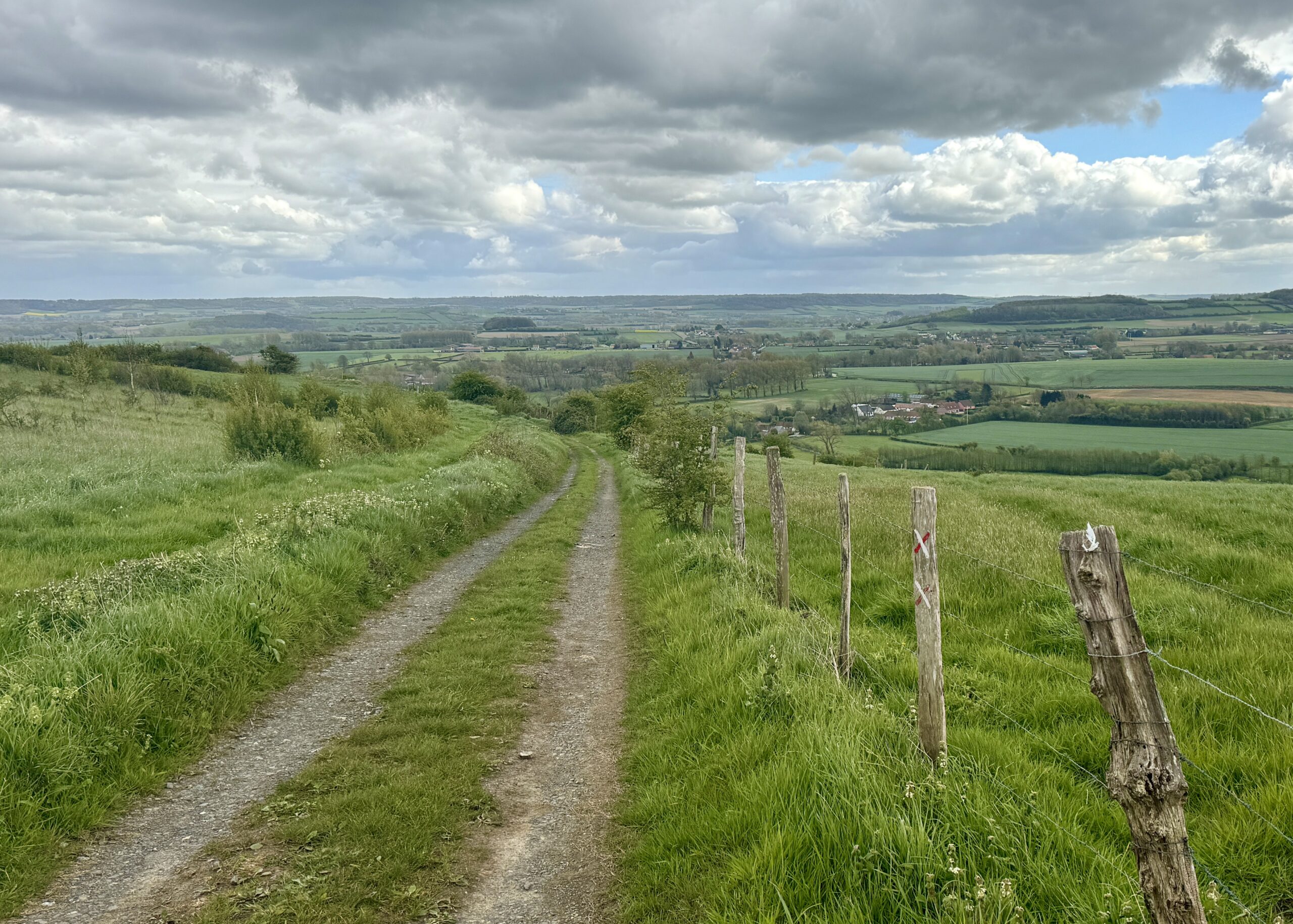
This doubling-up of stages meant some unattractive urban walking out of the port city this morning, rather than the scenic coastal path, but soon enough I was out in the fields and woodlands again. My warmup trek on The Pilgrims Way over the past 2 weeks has prepared me well for this, and I ended the day feeling strong.
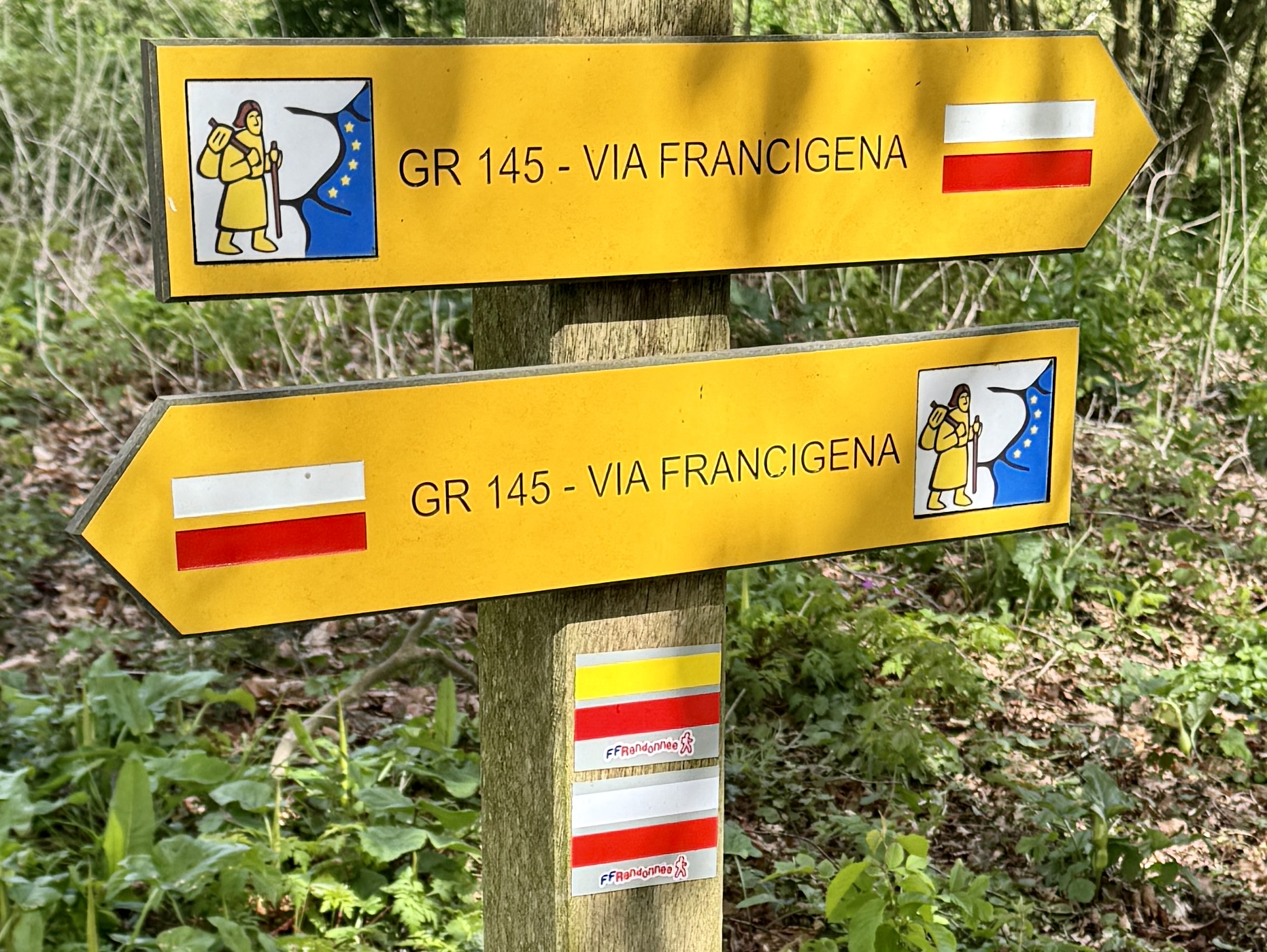
For most of my walk through France, I will be following the “little yellow man” on these signs for the VF variant known as the GR145. It’s more the “scenic route” than the “historical route” laid out by Sigeric in 990AD, but gets me where I need to go – and all on foot.
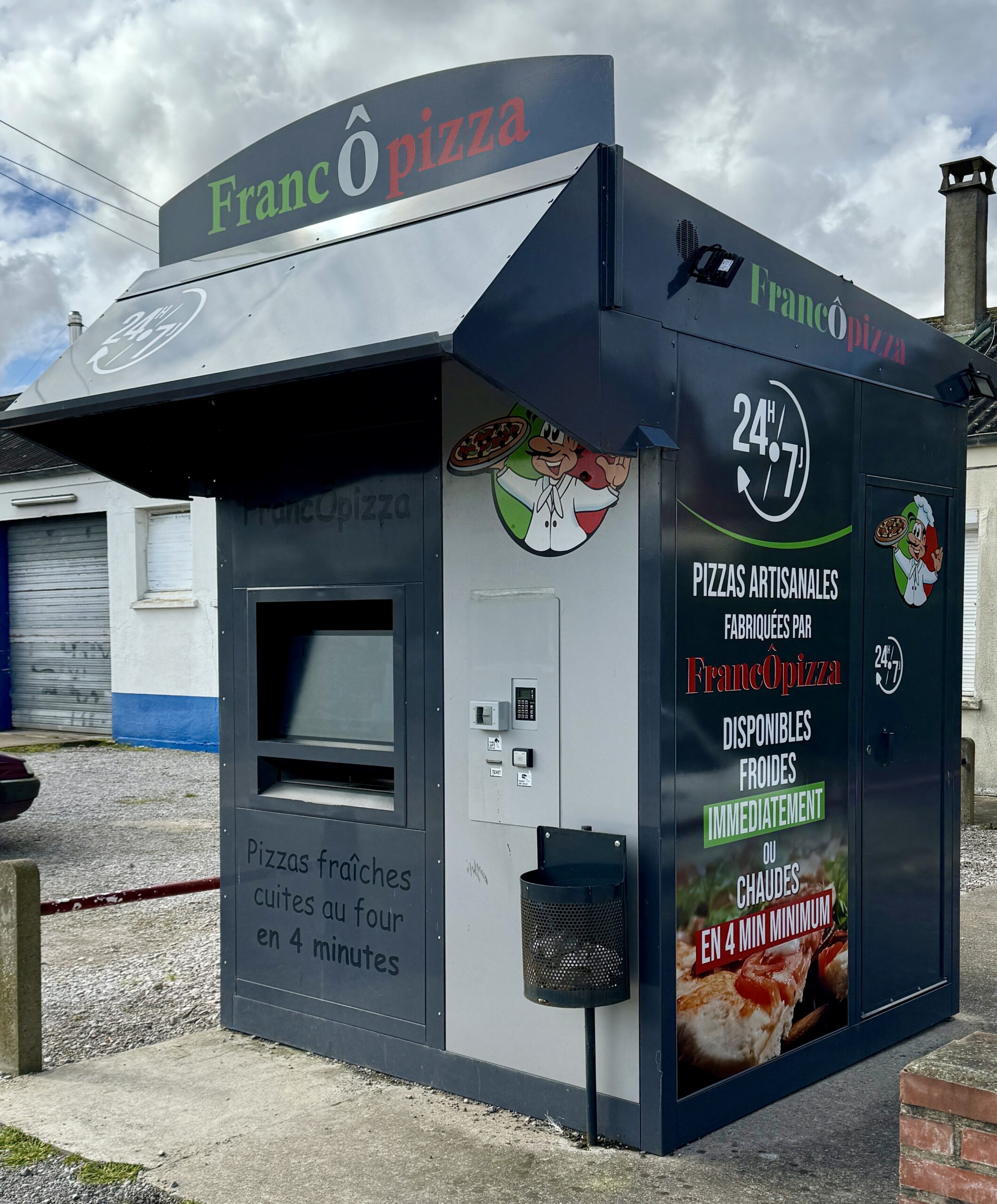
I had read in my guidebooks about the popularity of these food kiosks along the Via in France, usually serving re-heated pizzas. I always assumed I would prefer freshly cooked meals from a restaurant or café, but I soon learned that’s not always an option. I wonder if I’ll ever bring myself to eat out of one…

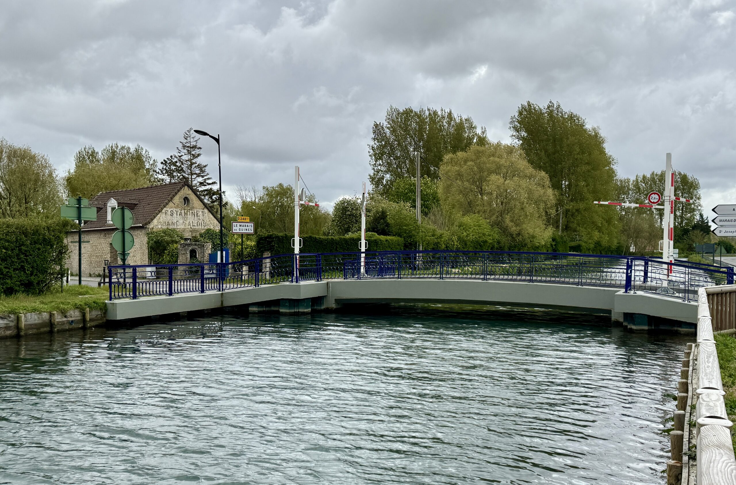
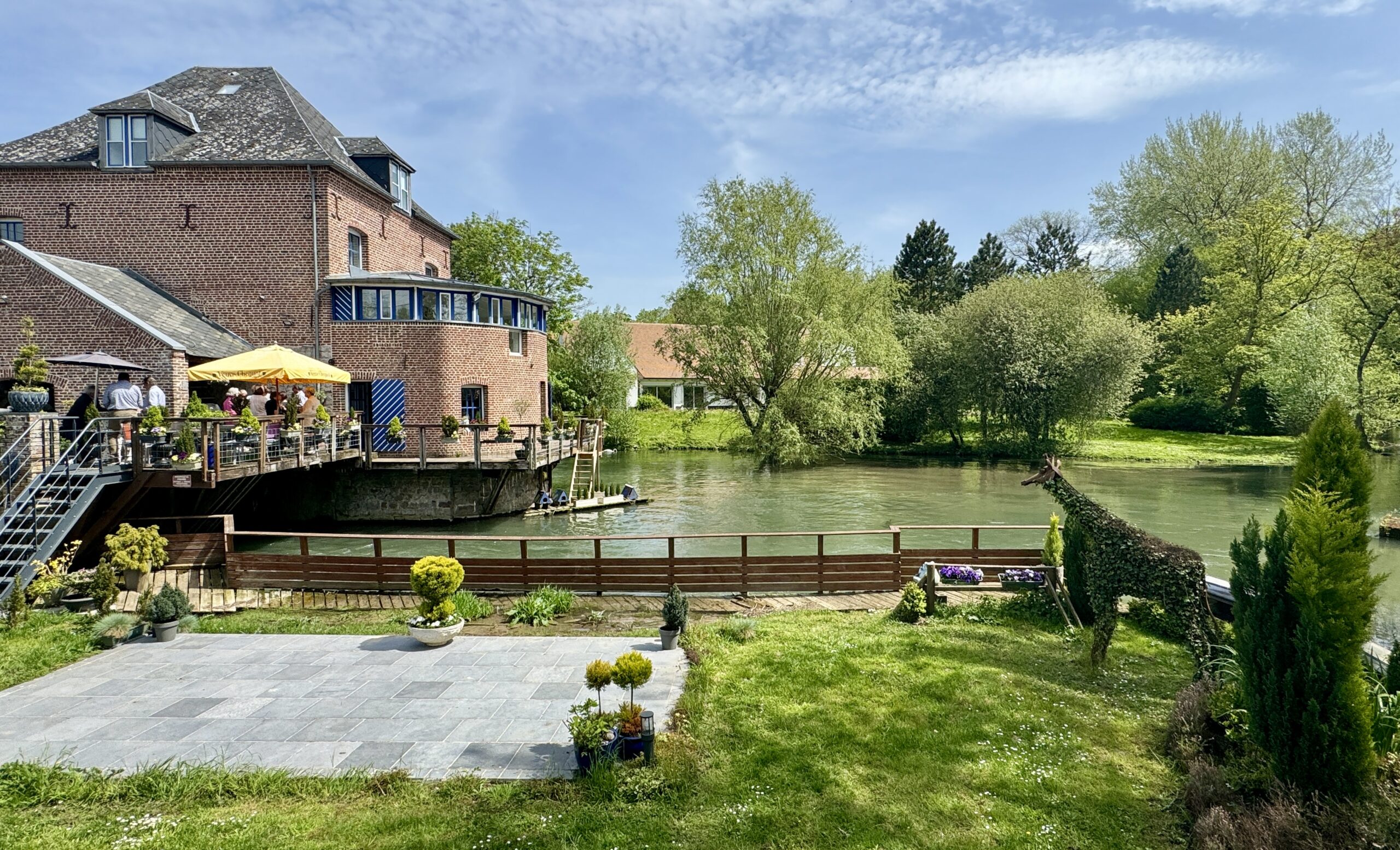
After the uninspiring urban walk from the city, the canal helped to improve the view.
When on the farm, sometimes you just gotta do what ya’ gotta do.
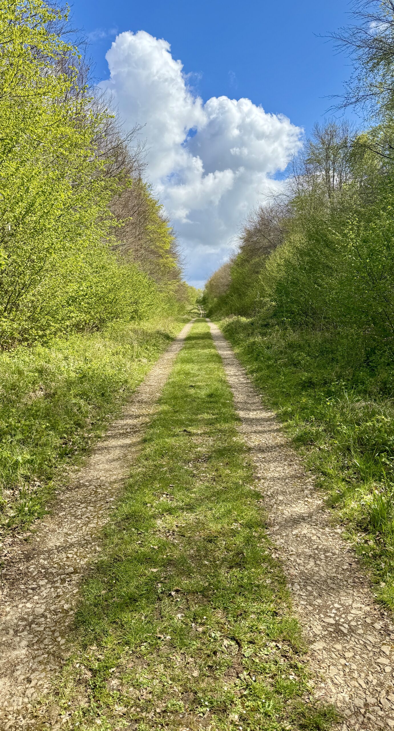
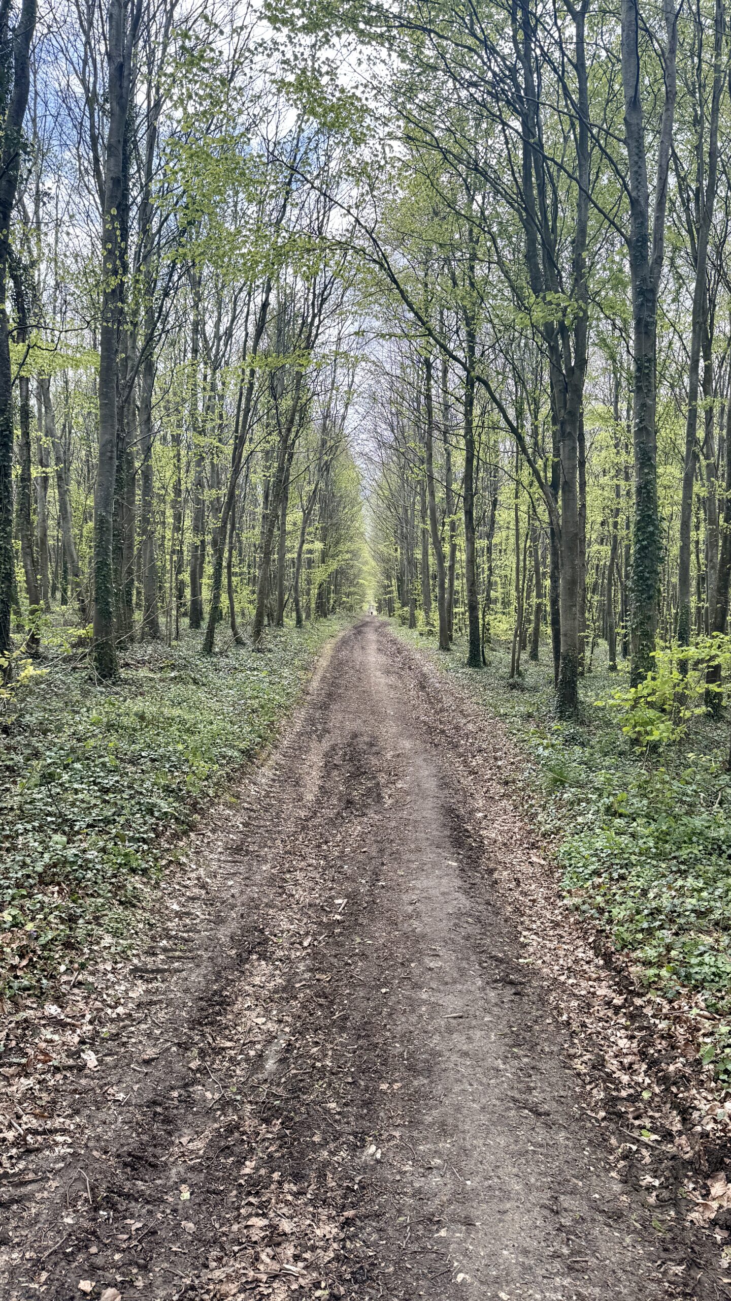
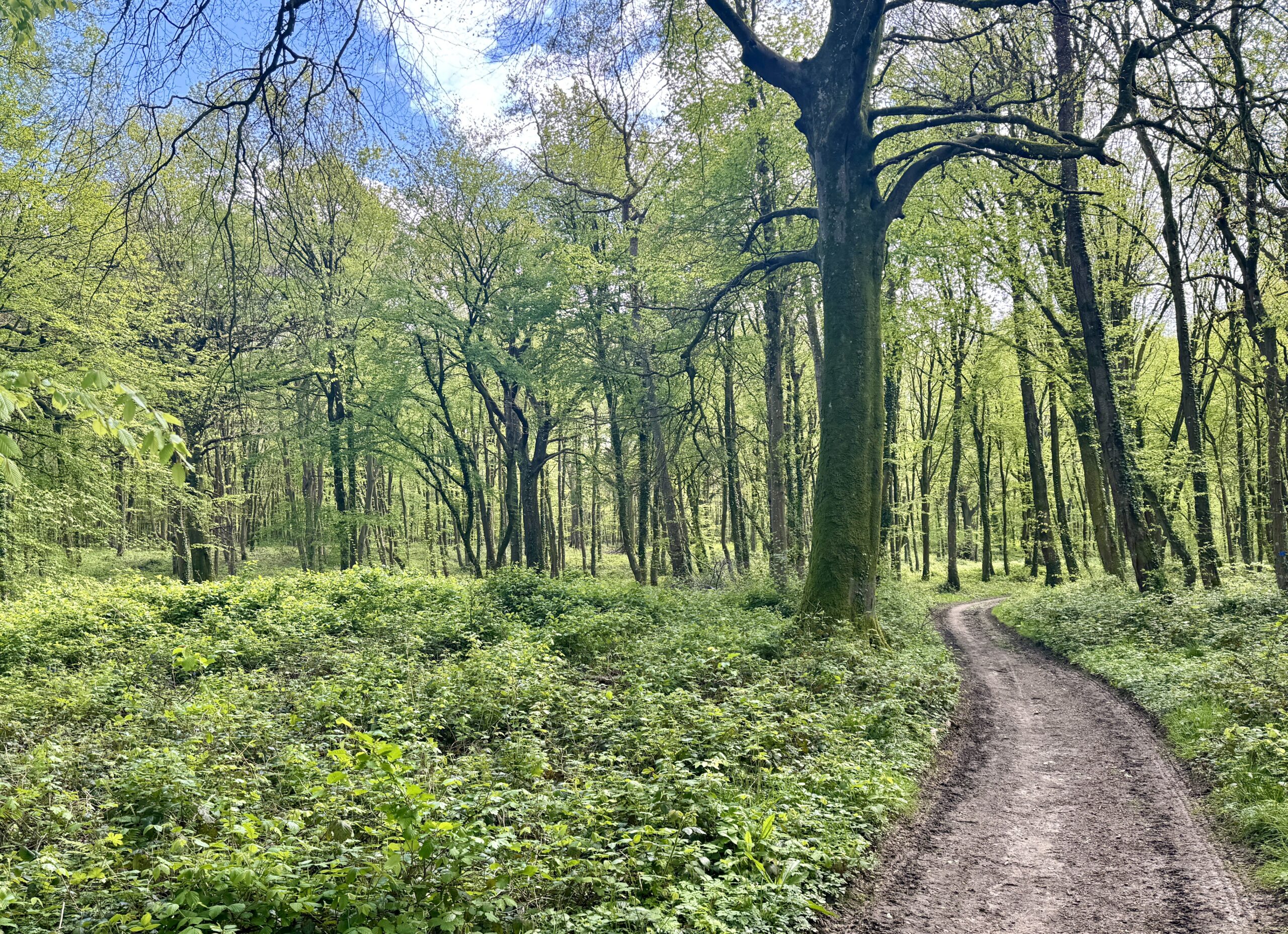
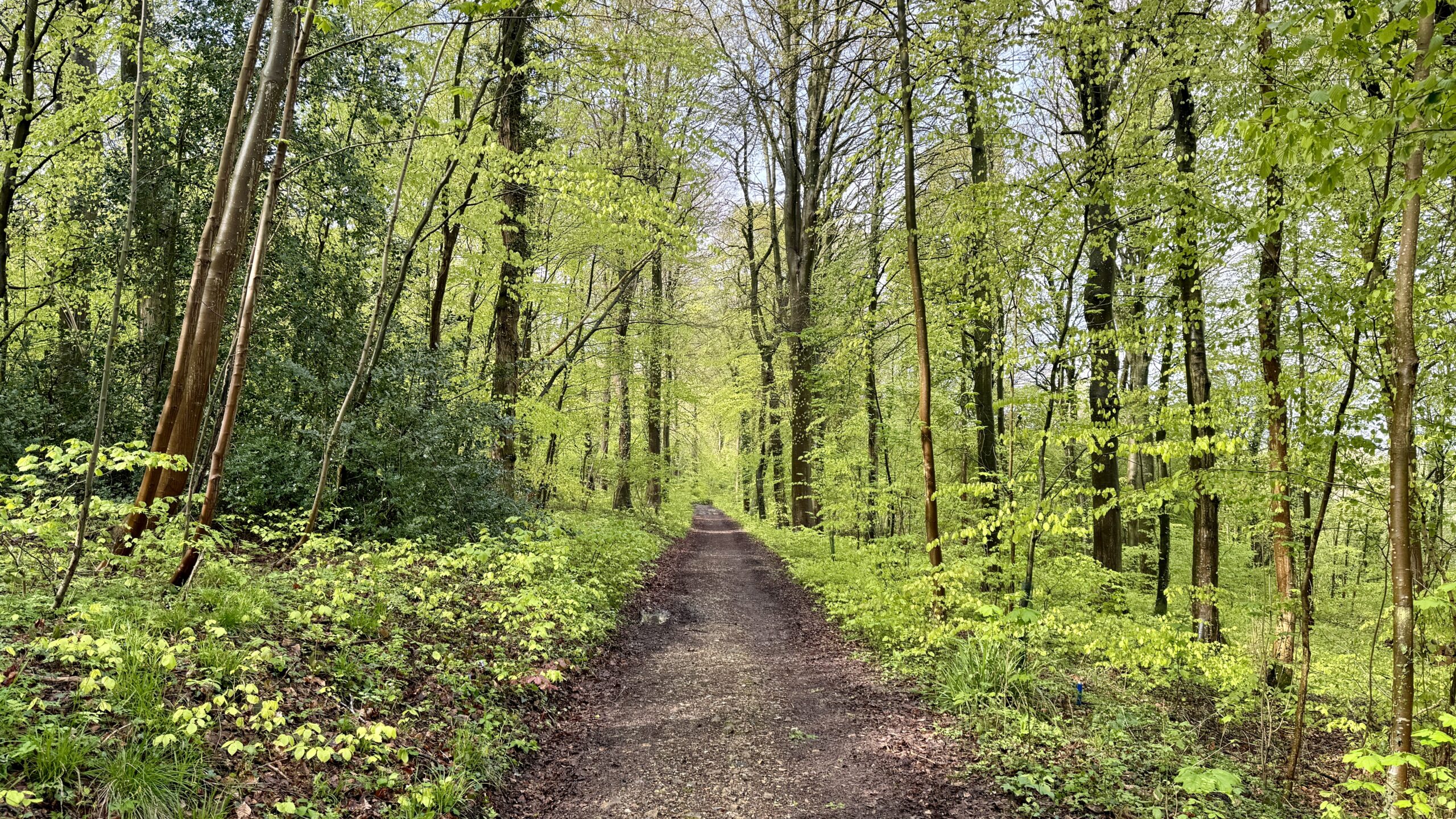
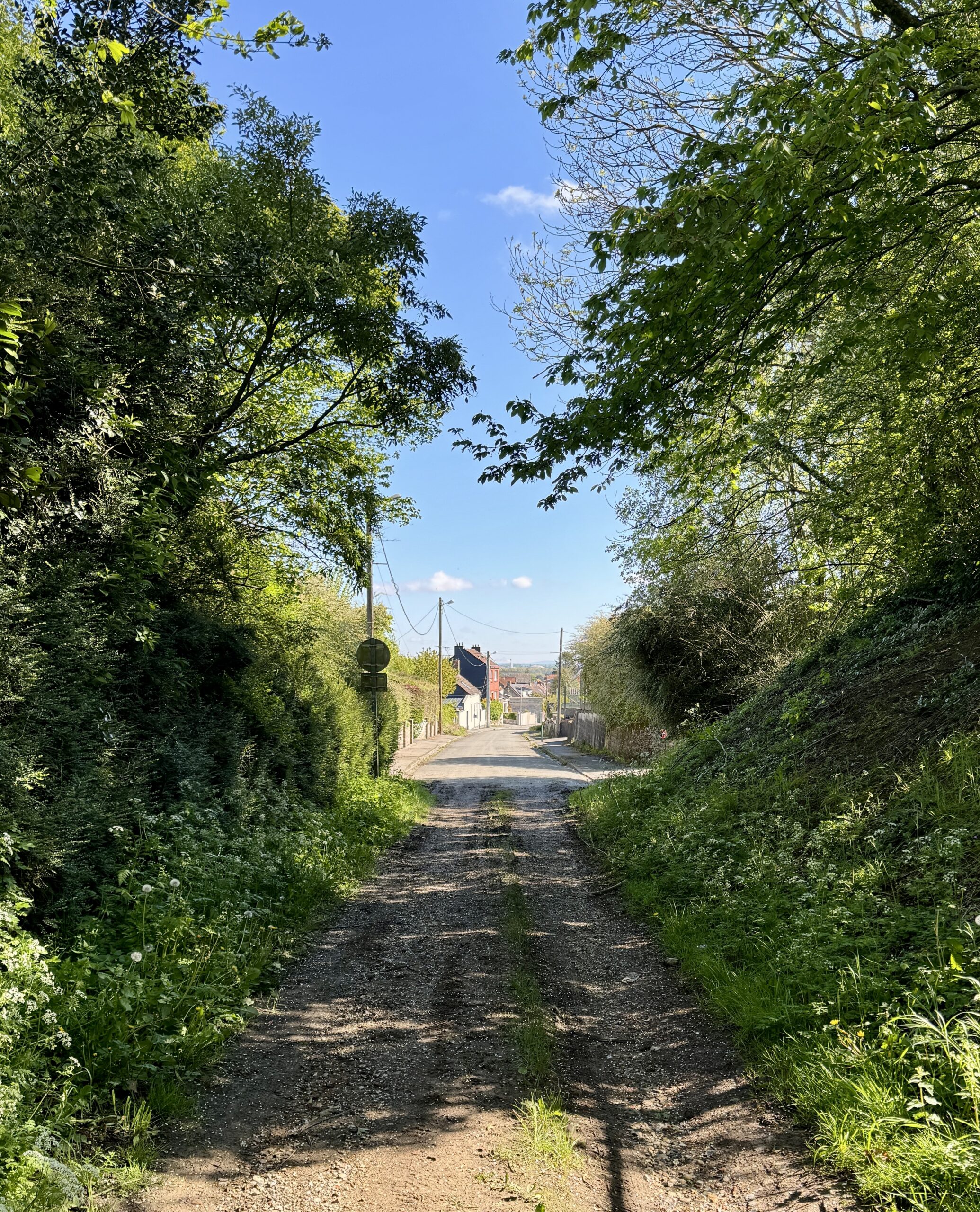
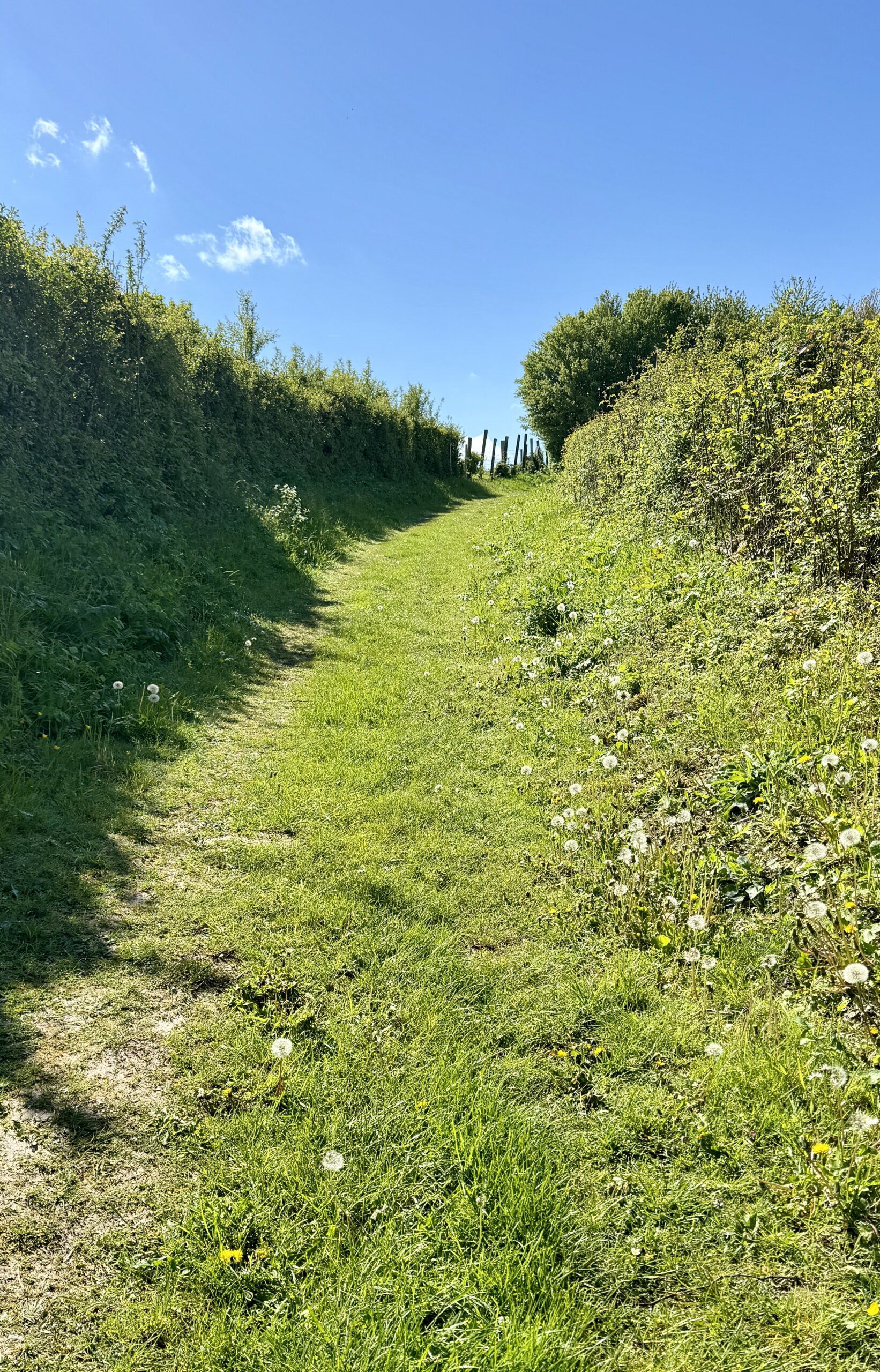
The Via comes in many flavors: paved roads, double tracks, and single tracks.
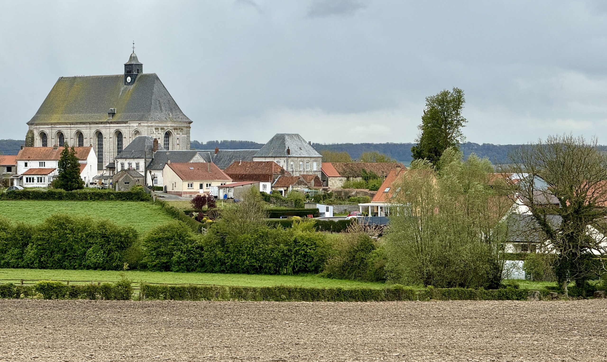
My destination, Licques, finally comes into view.
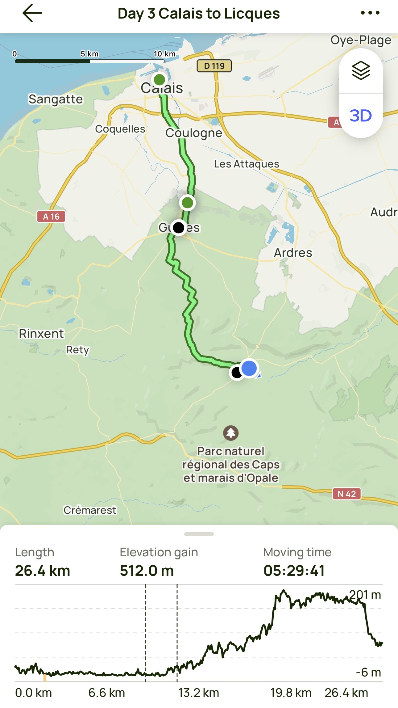
Day 3 AllTrails Stats
Distance: 26.4 km / 16.4 miles
Elevation Gain: 512 m / 1,680 feet
Steps: 40,711
Relive: https://www.relive.cc/view/vMq535kXWQO (Note: just from Guînes!)
Accommodation: Gîte À l’ombre du prunier, Licques
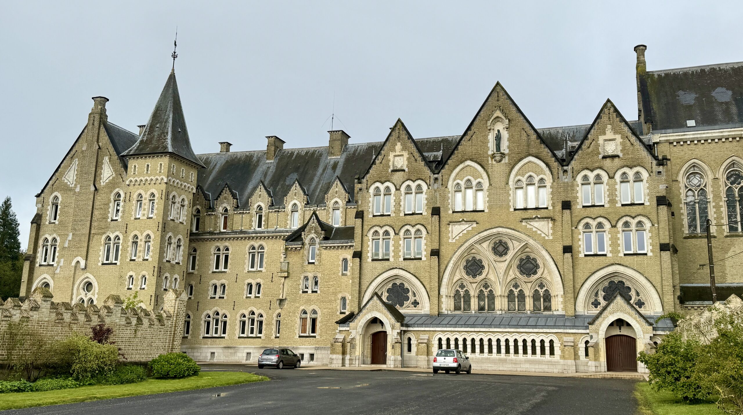
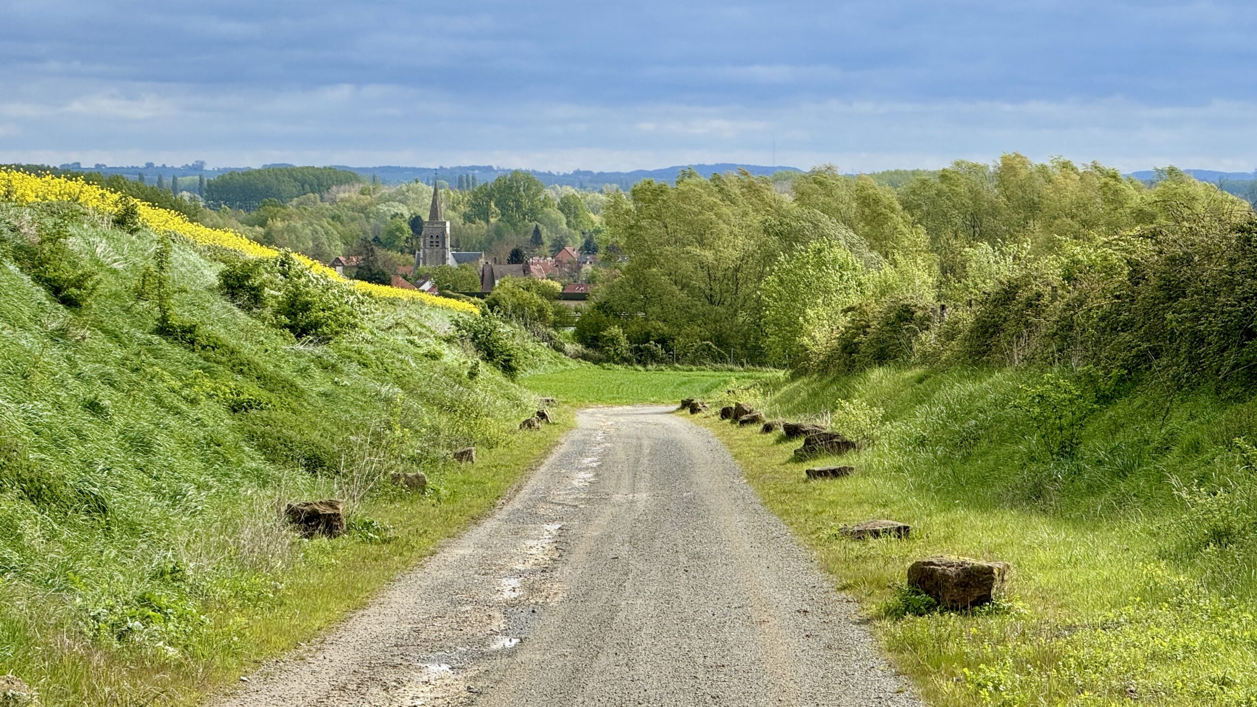
Day 4: Licques to Tournehem-sur-la-Hem
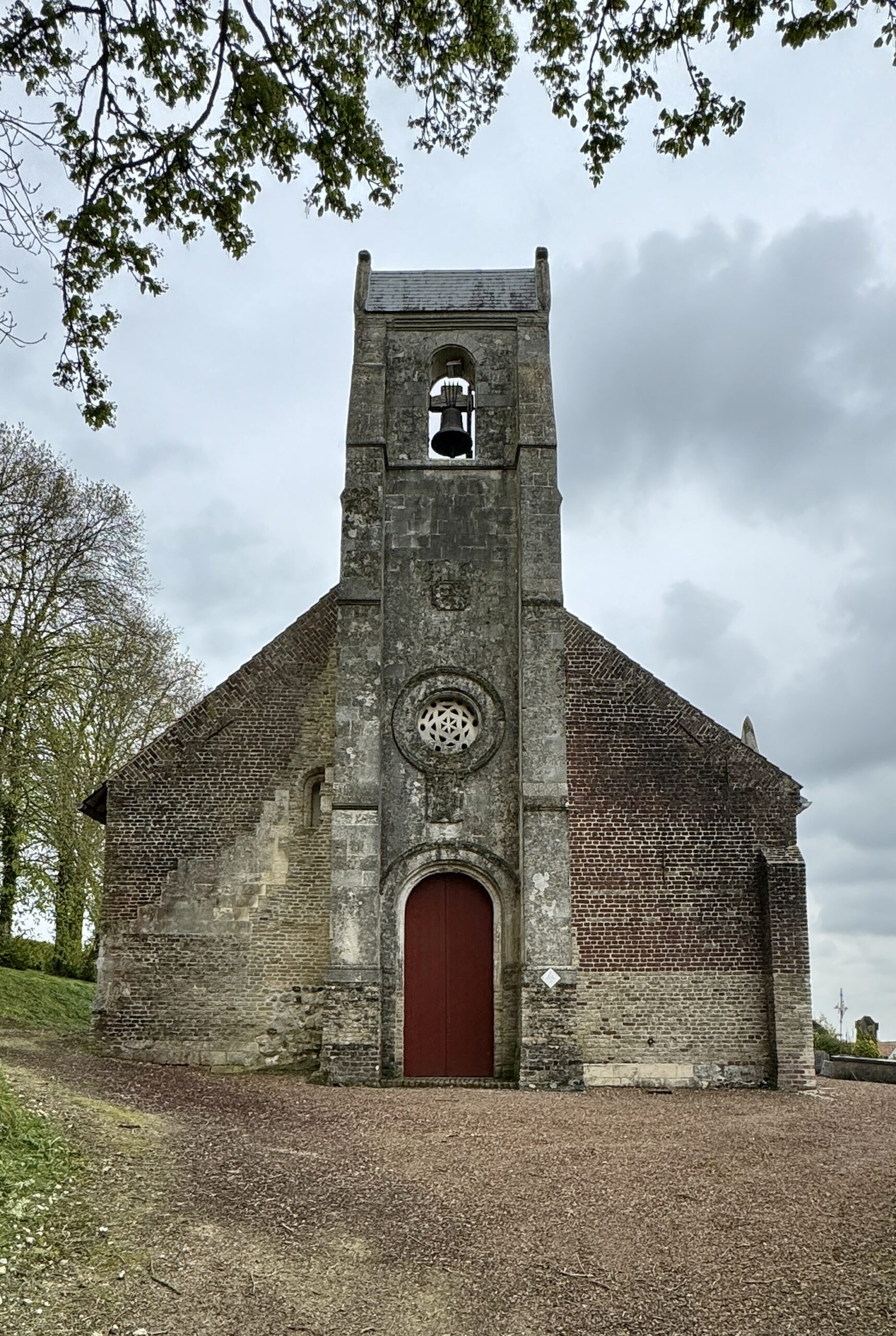
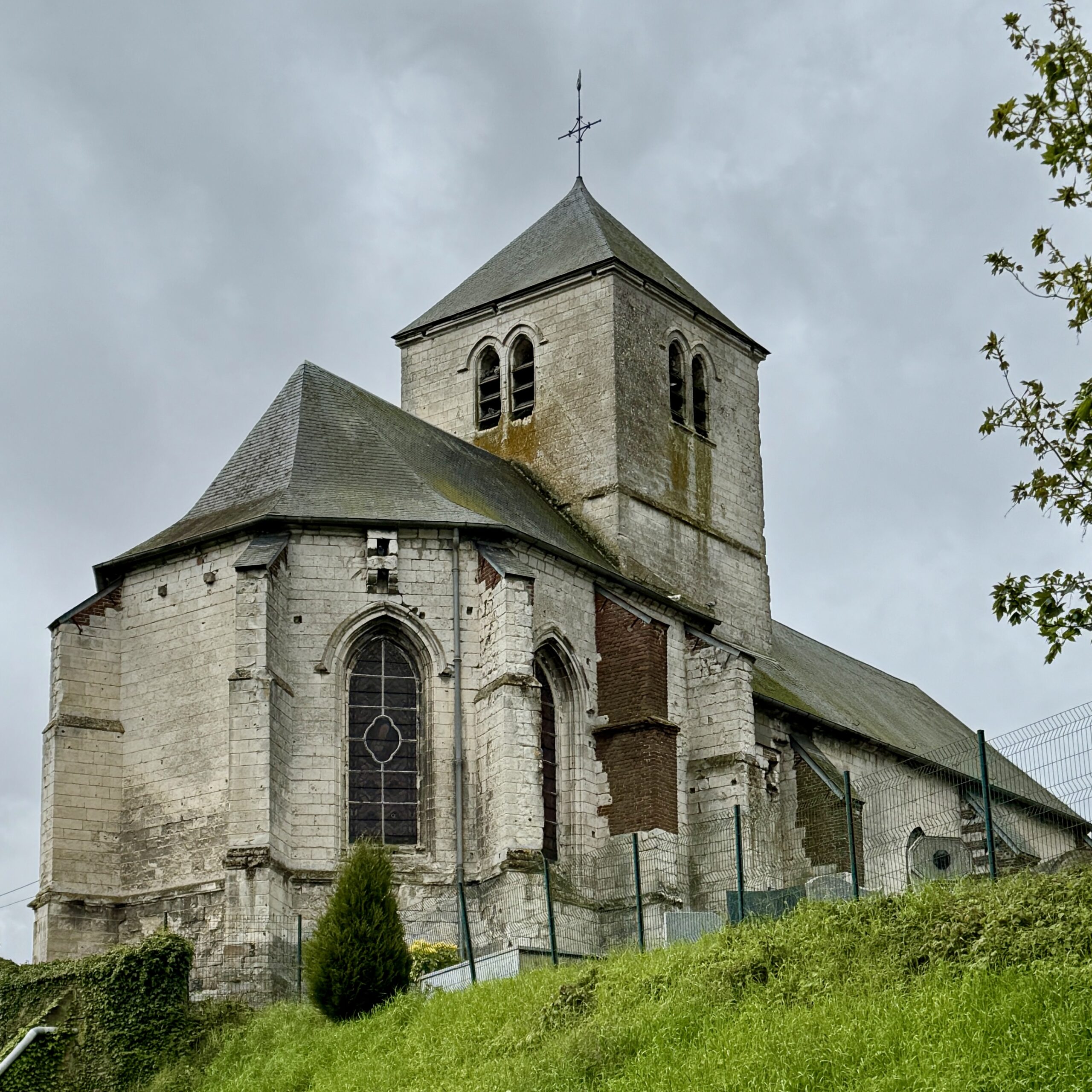
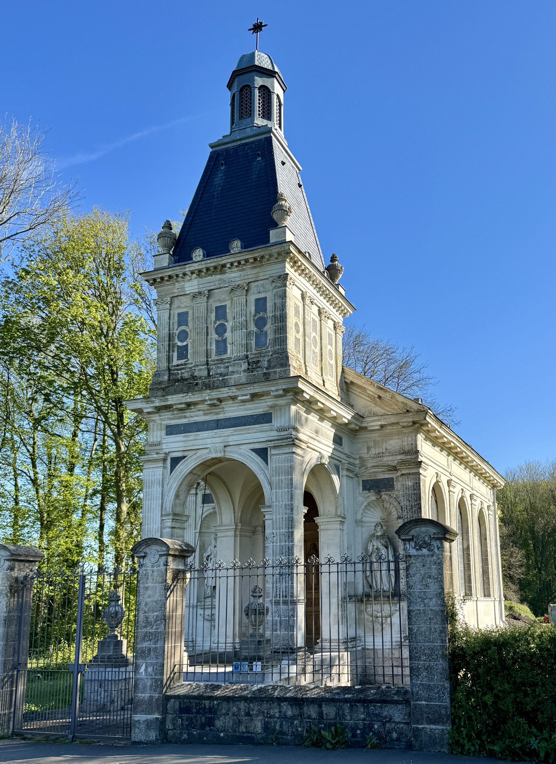
Today’s weather turned cold and wet in the early afternoon, with blue skies in the West quickly turning dark. Shortly before I reached my destination town, I came to the highlight of today’s stage (and the reason for my “less-than-direct” routing): the Chapelle de Saint-Louis, near Tournehem-sur-la-Hem.
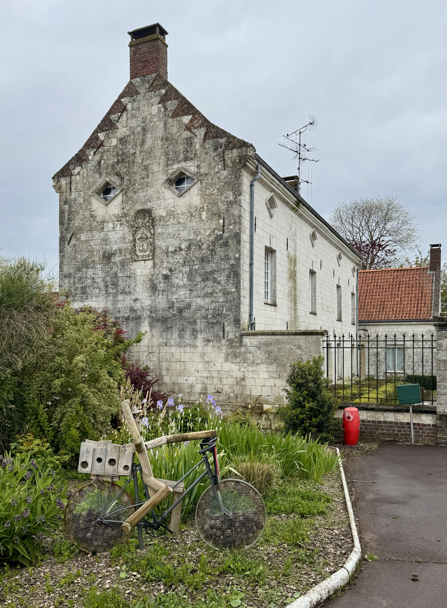
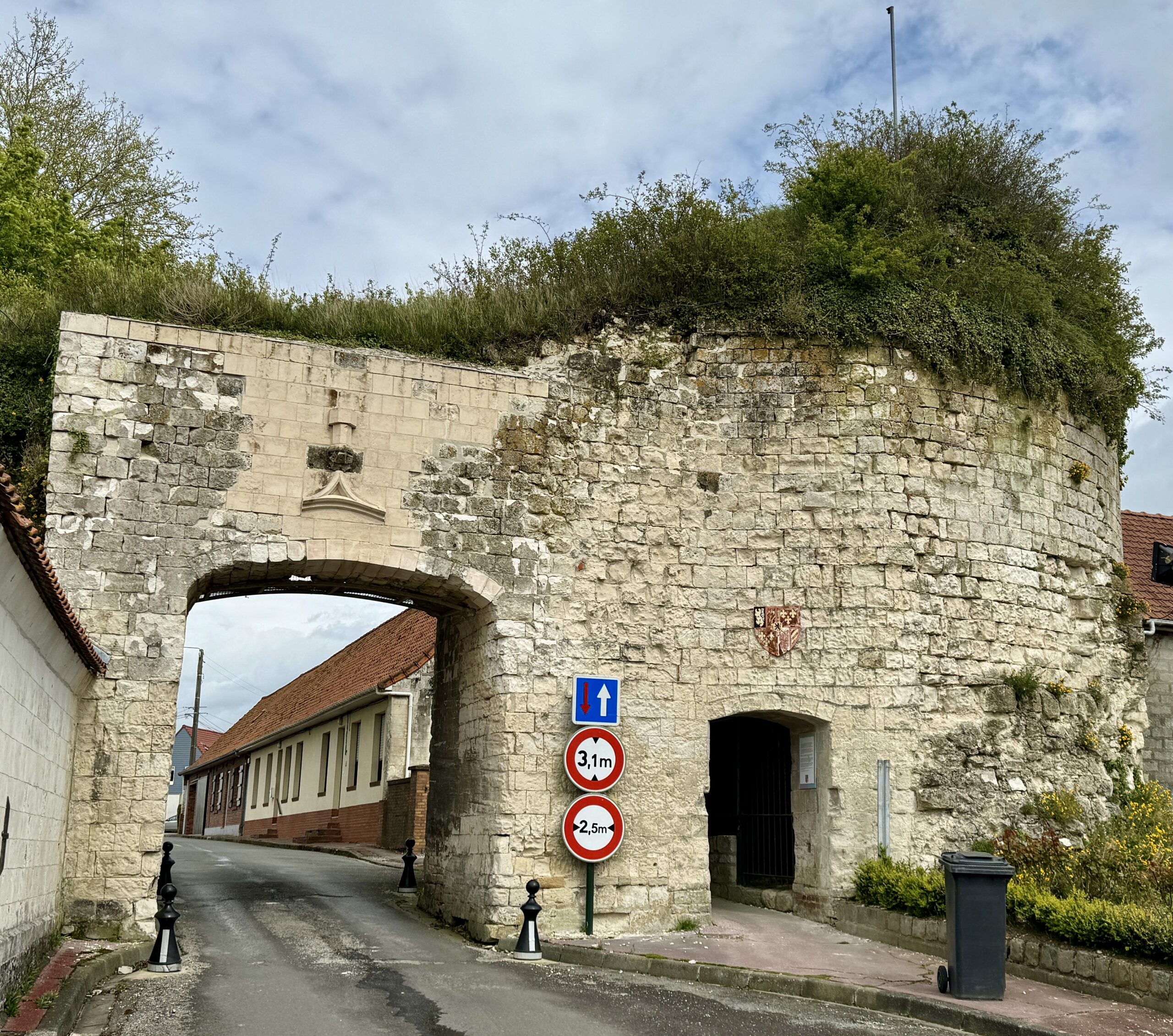
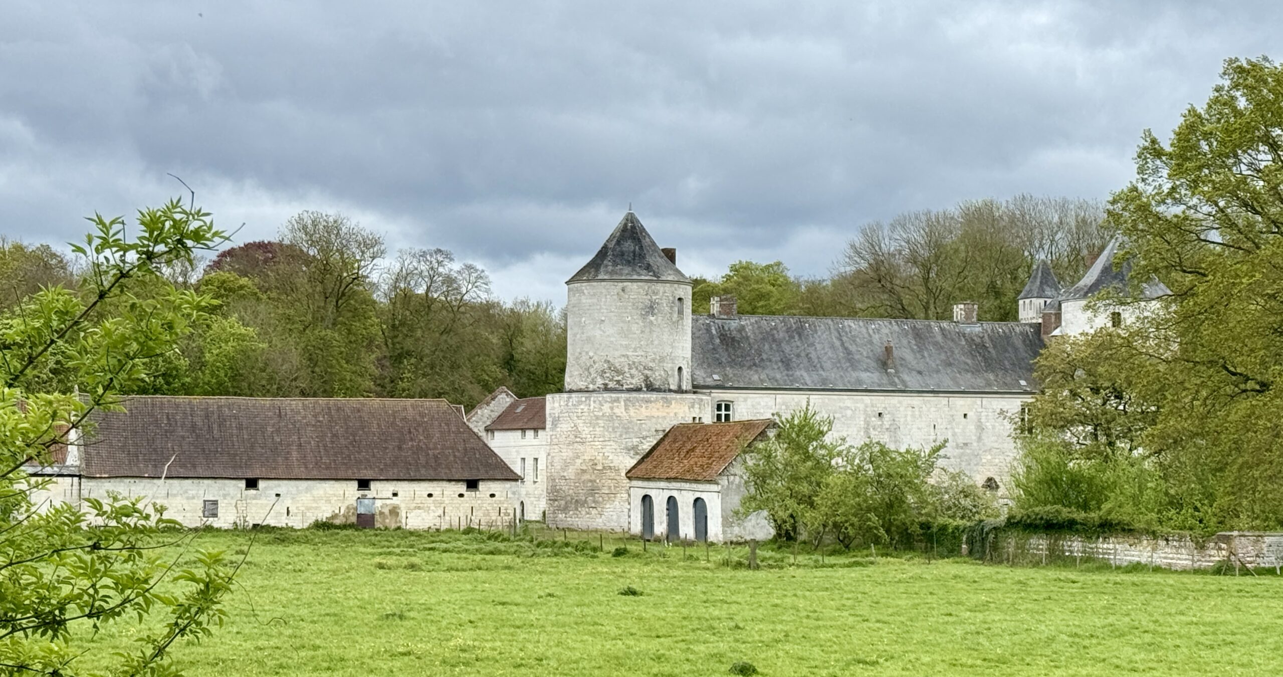
I was wet from the rain showers while walking the chapel grounds, but those cleared as I walked into my destination town, Tournehem-sur-la-Hem, and saw some interesting old buildings.
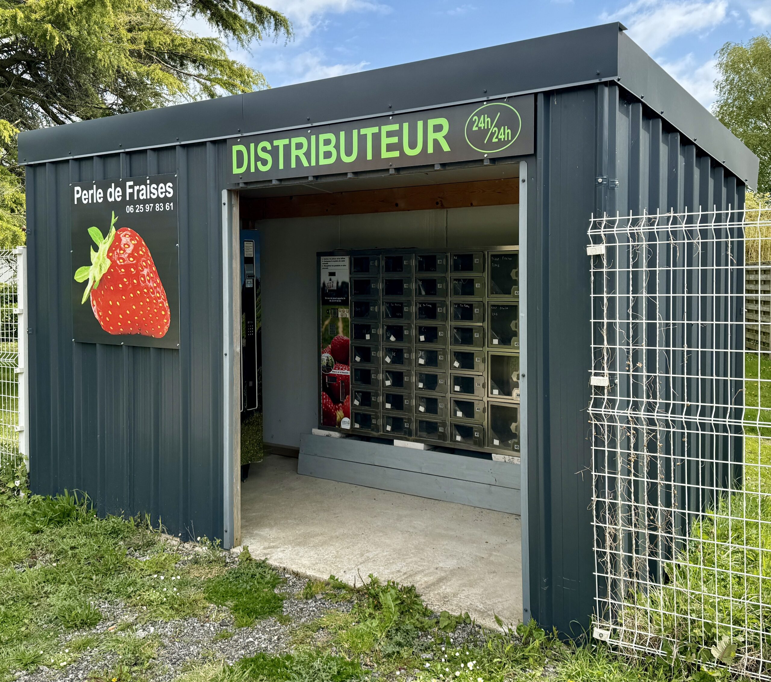
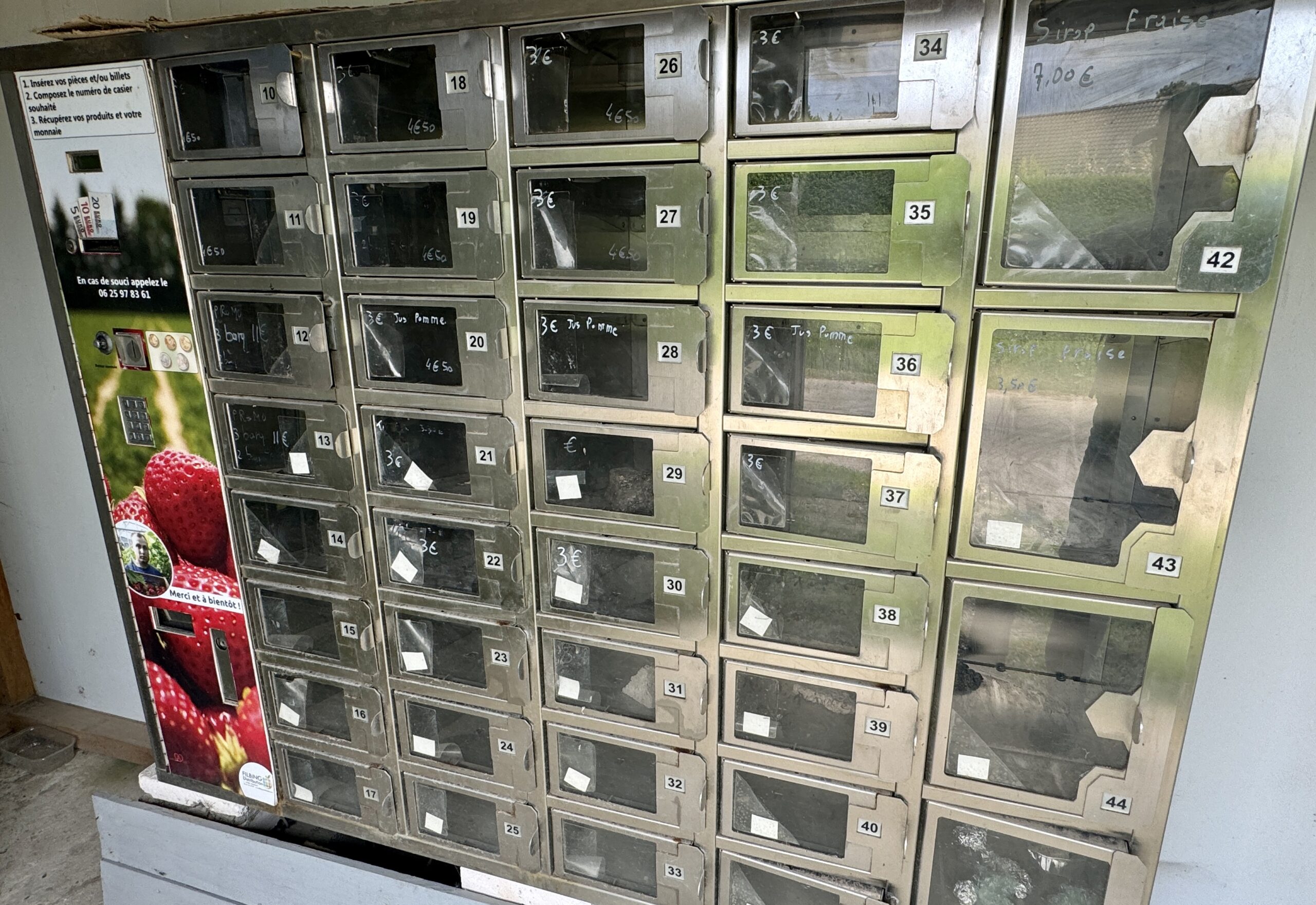
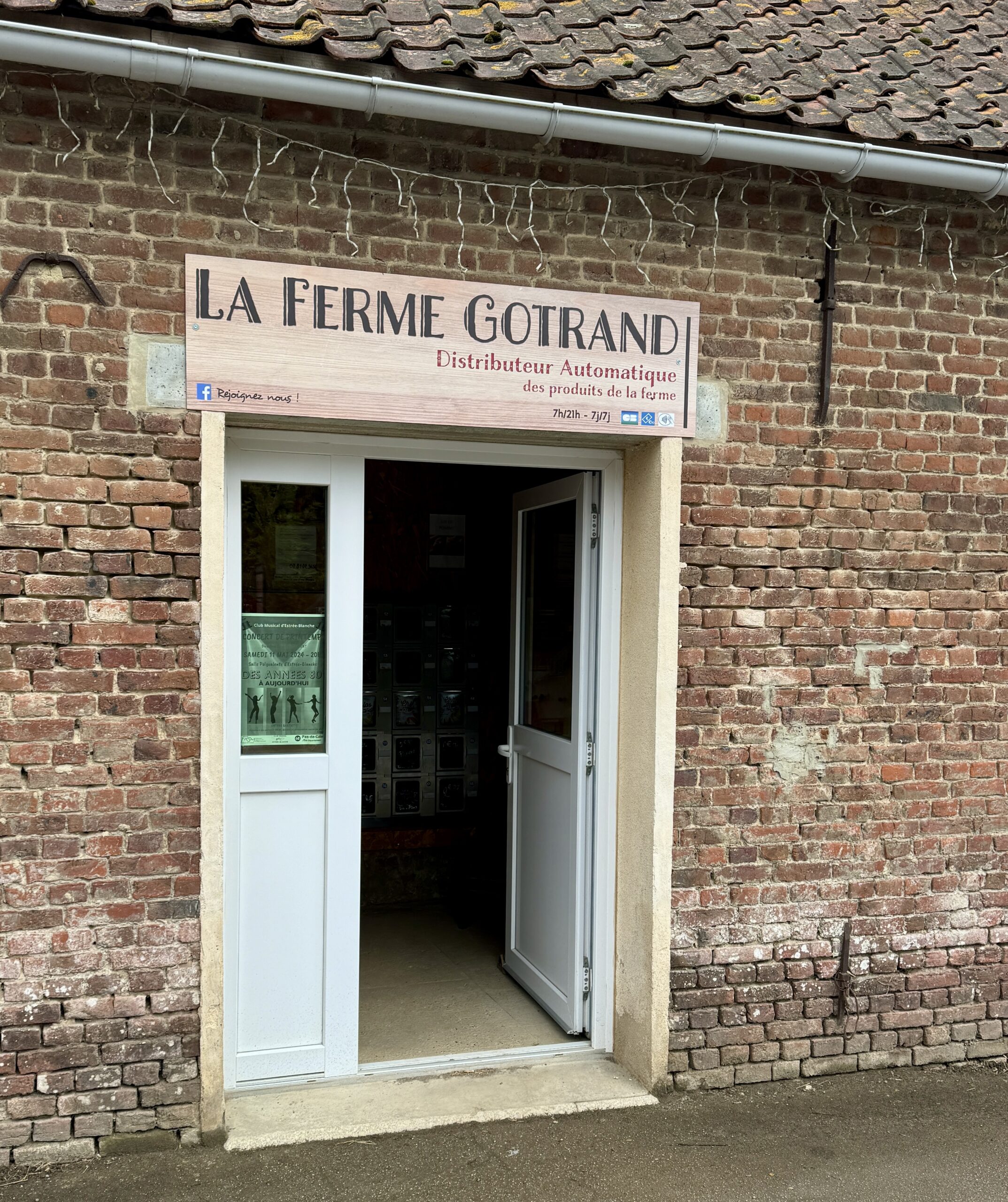
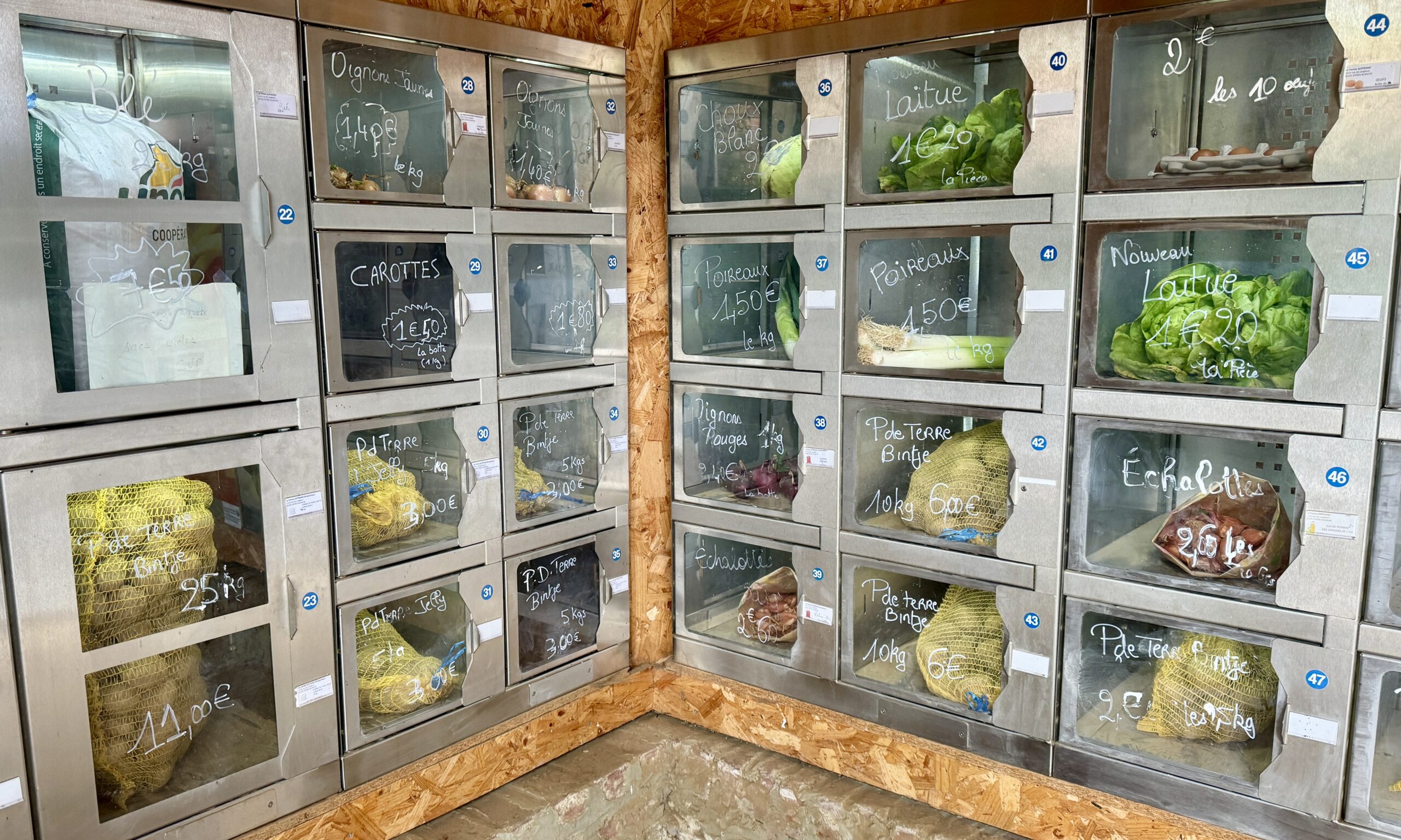
I found more pizza kiosks, and something else: an automated produce kiosk. Unfortunately, this one was pretty empty.

Looking back to Licques.
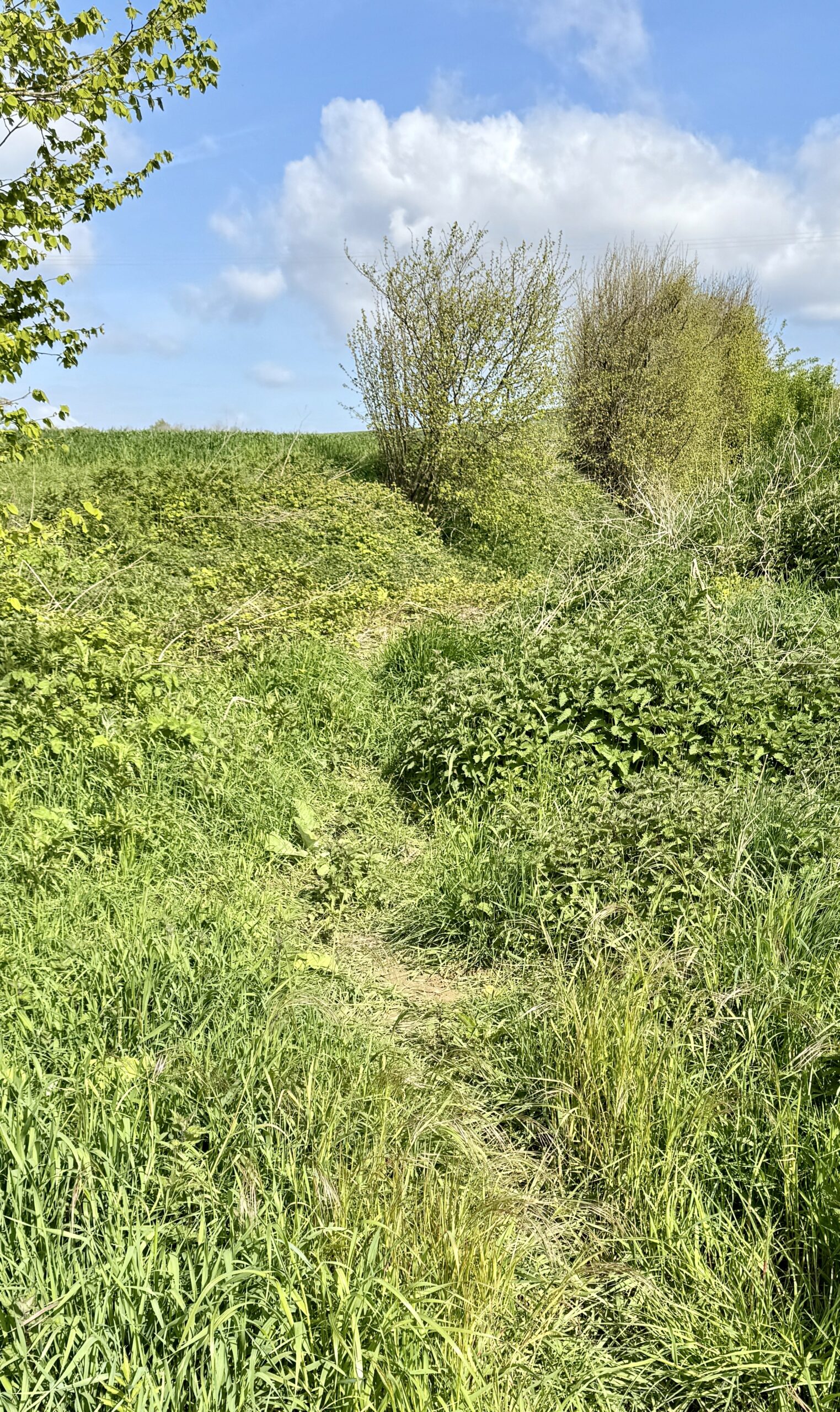
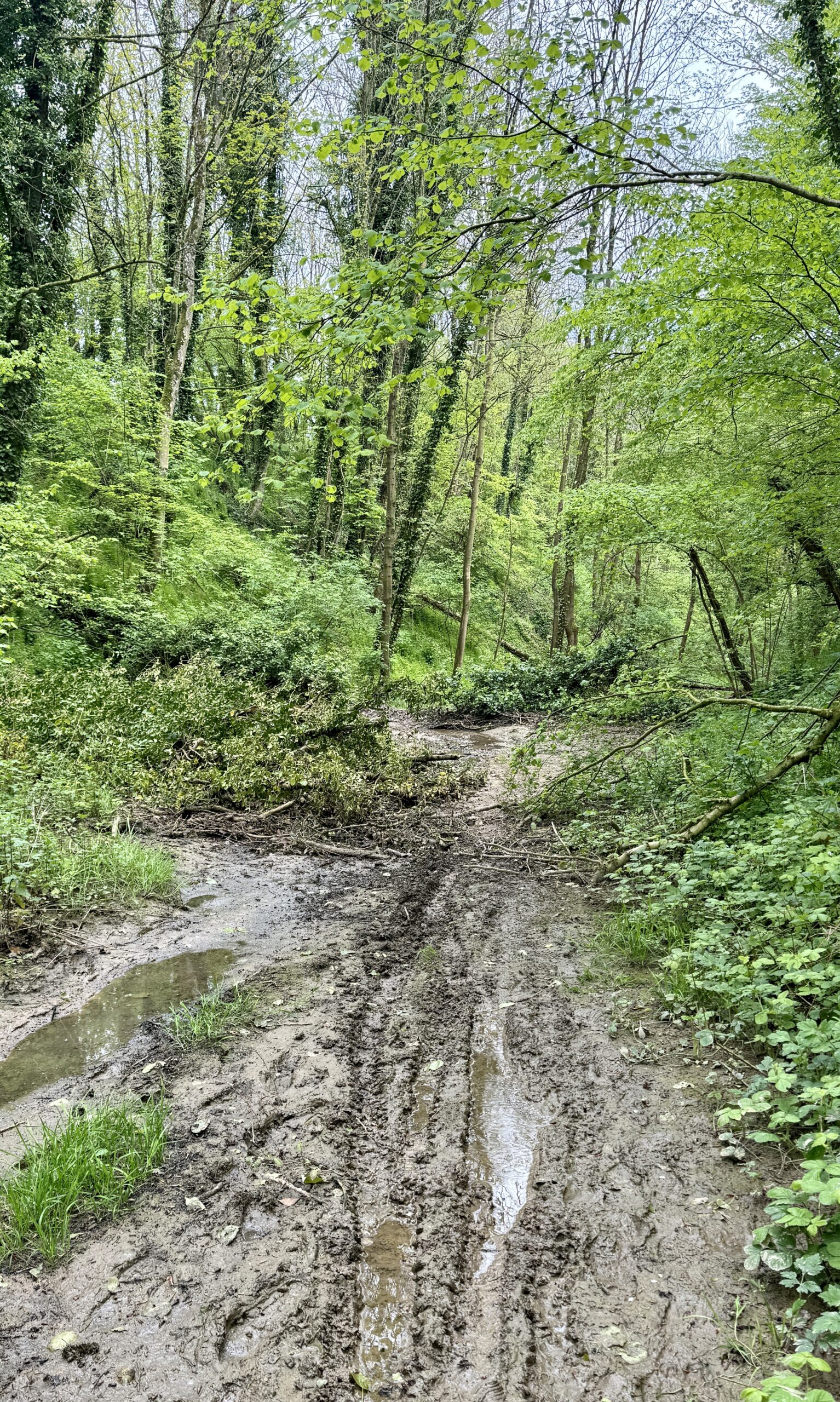
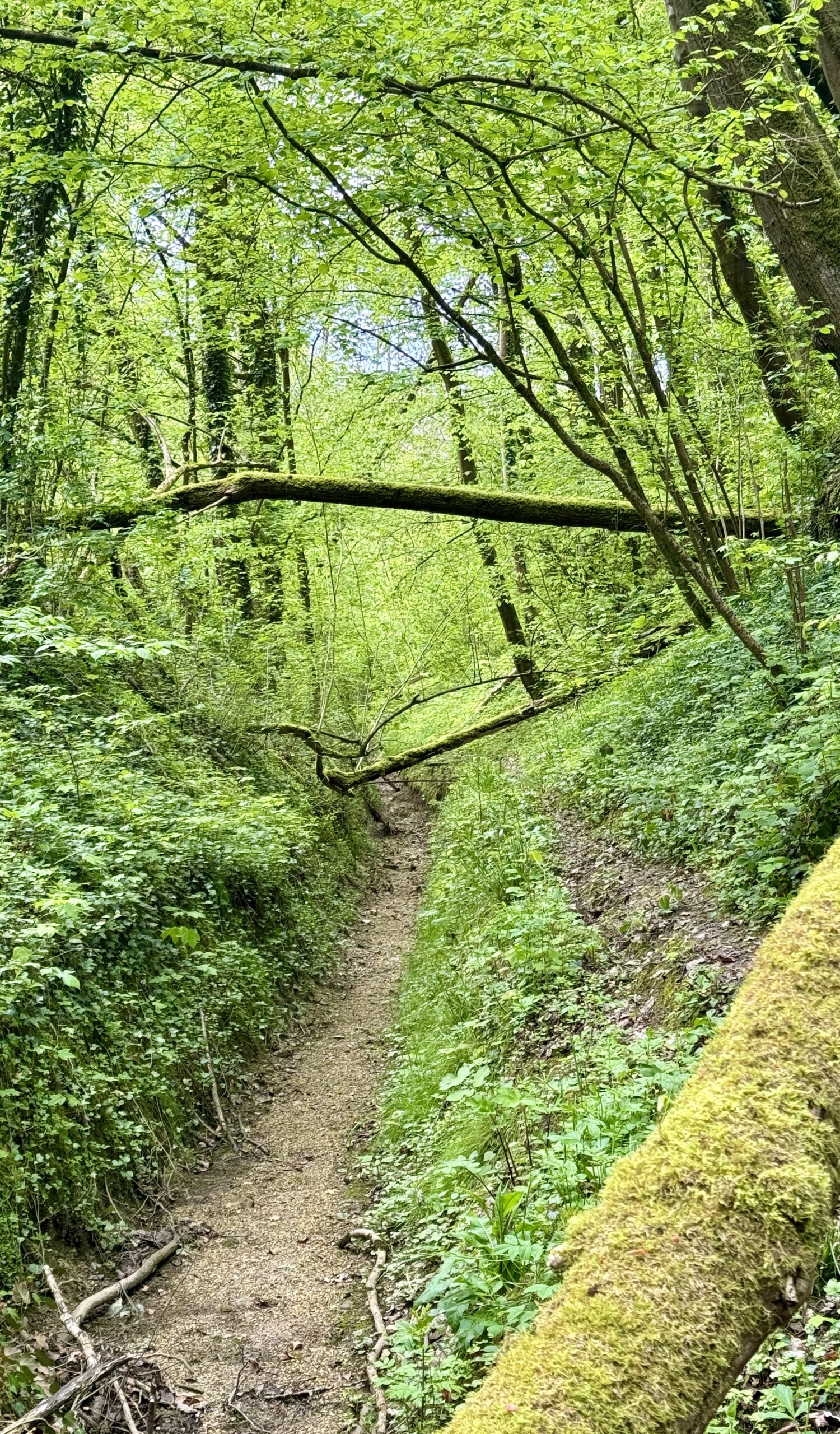
The clearly marked trails were sometimes interrupted by mere unsigned suggestions. In such cases, I was vert happy to have my AllTrails navigation app at hand and managed to stay on course.
A nice little neighborhood park, with facilities!
Hmm… my view to the West doesn’t look good, does it? The sprinkles arrived soon enough, followed by heavier rain as I approached Chapelle de Saint-Louis. Sandy Brown, in his guidebook, Walking the Via Francigena, Part 1, Canterbury to Lausanne, describes it as follows:
Many legends surround the ruins of the 15th-century Chapelle de Saint-Louis, including hints of pagan worship, third-century Roman army encampments, and forgotten underground tunnels. The building was reassembled to its current form in 1930, and left intentionally unfinished.
Arriving to my destination soaking wet and too early to check in to my hotel, I happened upon the cozy Café de la Mairie for warmth, a lovely lunch, and the chance to meet a few others escaping the cold and wet. This included Nathalie from Dunkirk, a French tourist in France, who will remain an online friend.
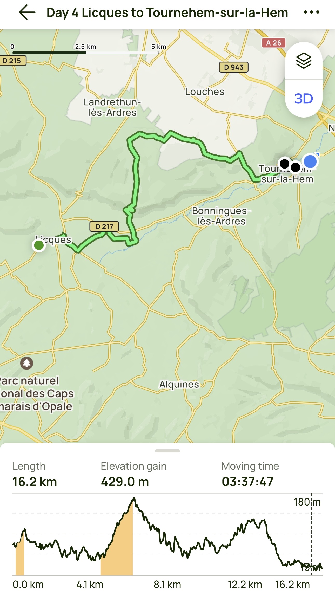
Day 4 AllTrails Stats
Distance: 16.2 km / 10.1 miles
Elevation Gain: 429 m / 1,407 feet
Steps: 24,628
Relive: https://www.relive.cc/view/vevY3LN4By6
Accommodation: Hotel Bal, Tournehem-sur-la-Hem
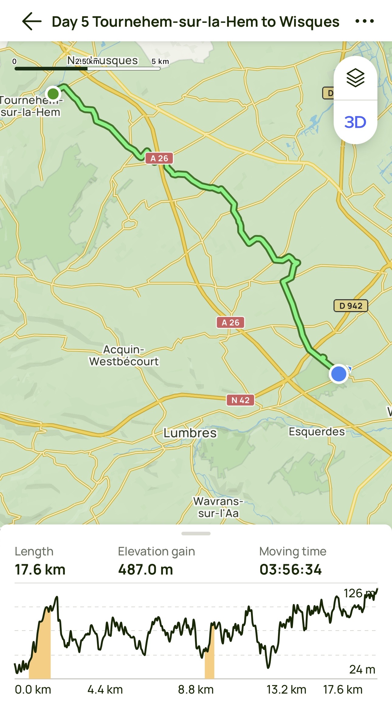
Day 5: Tournehem-sur-la-Hem to Wisques
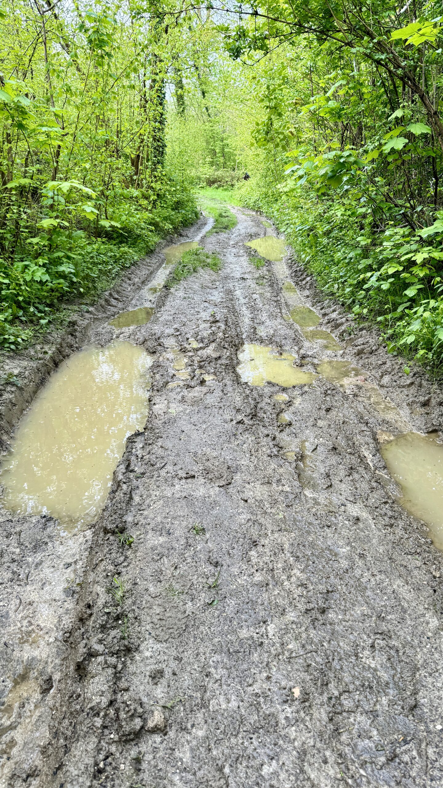
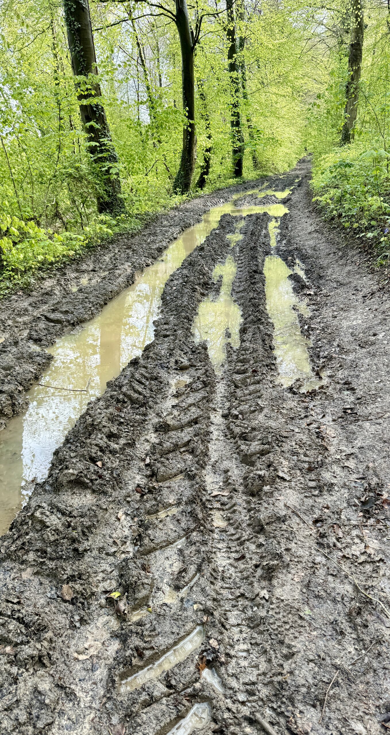
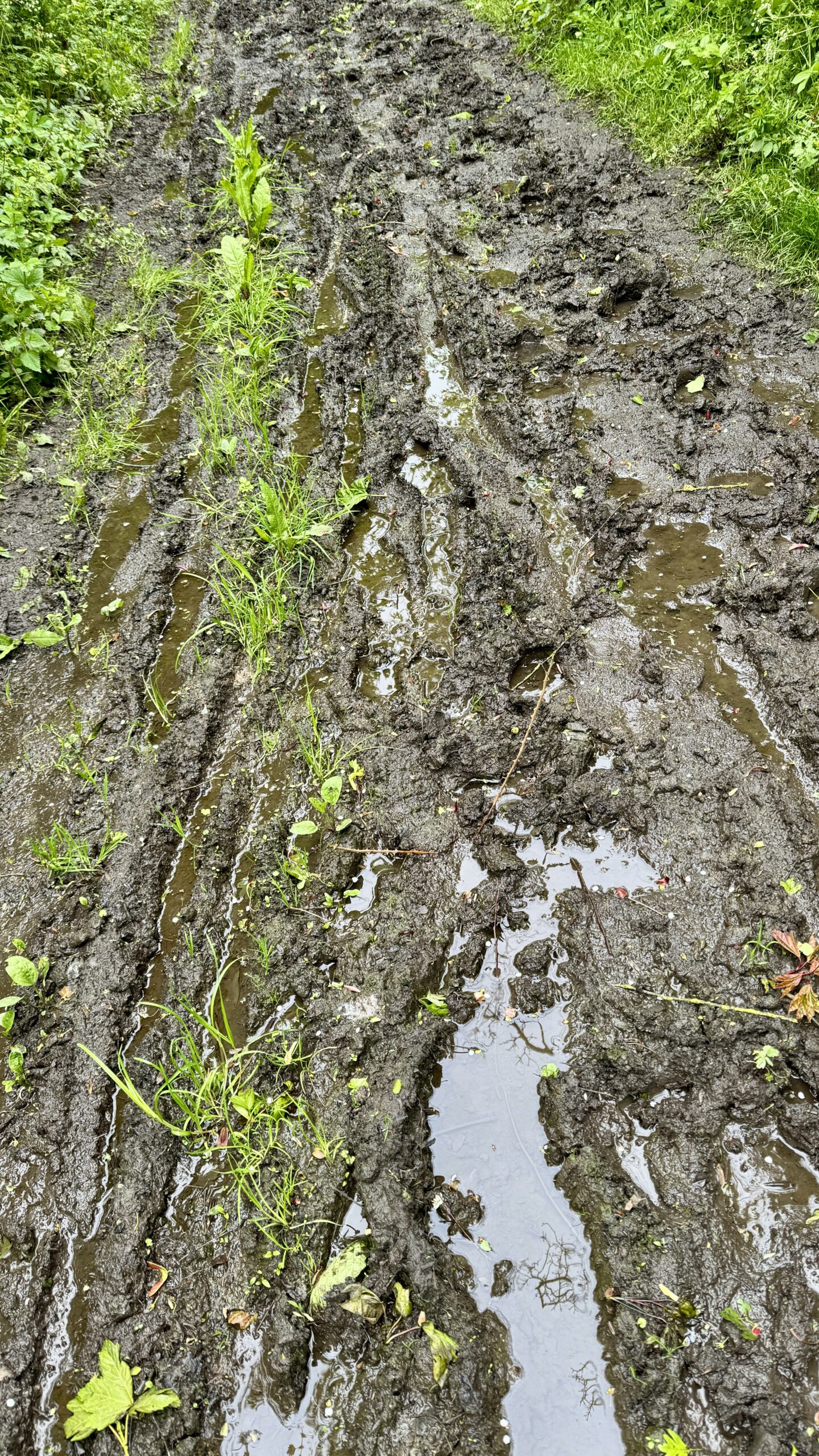
Cold, grey, rainy, muddy, slippery.
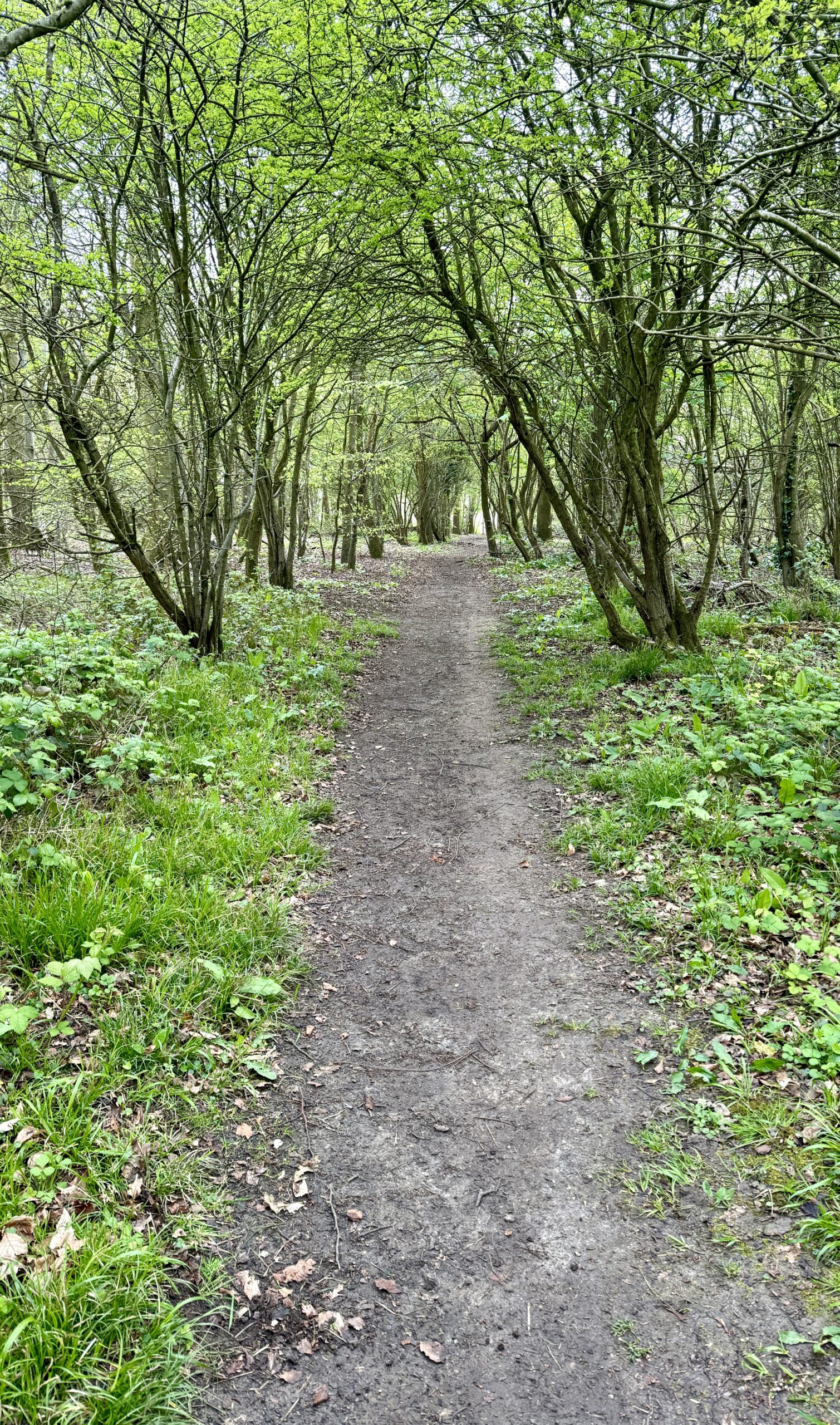
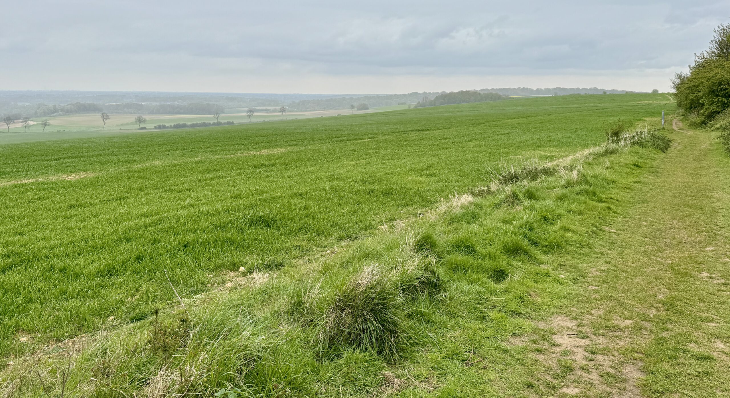
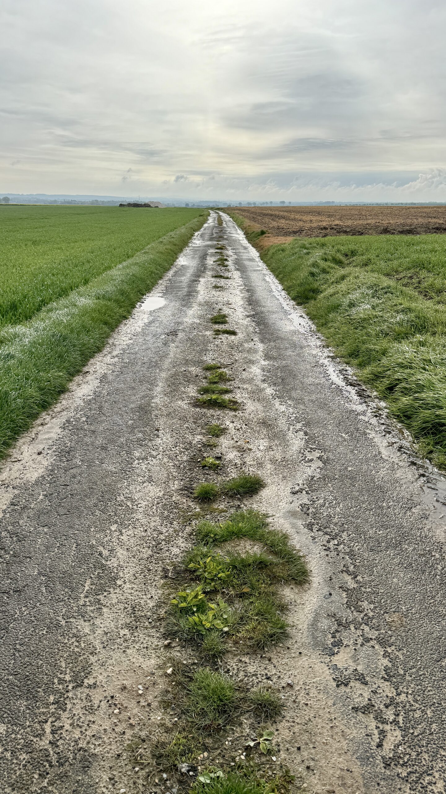
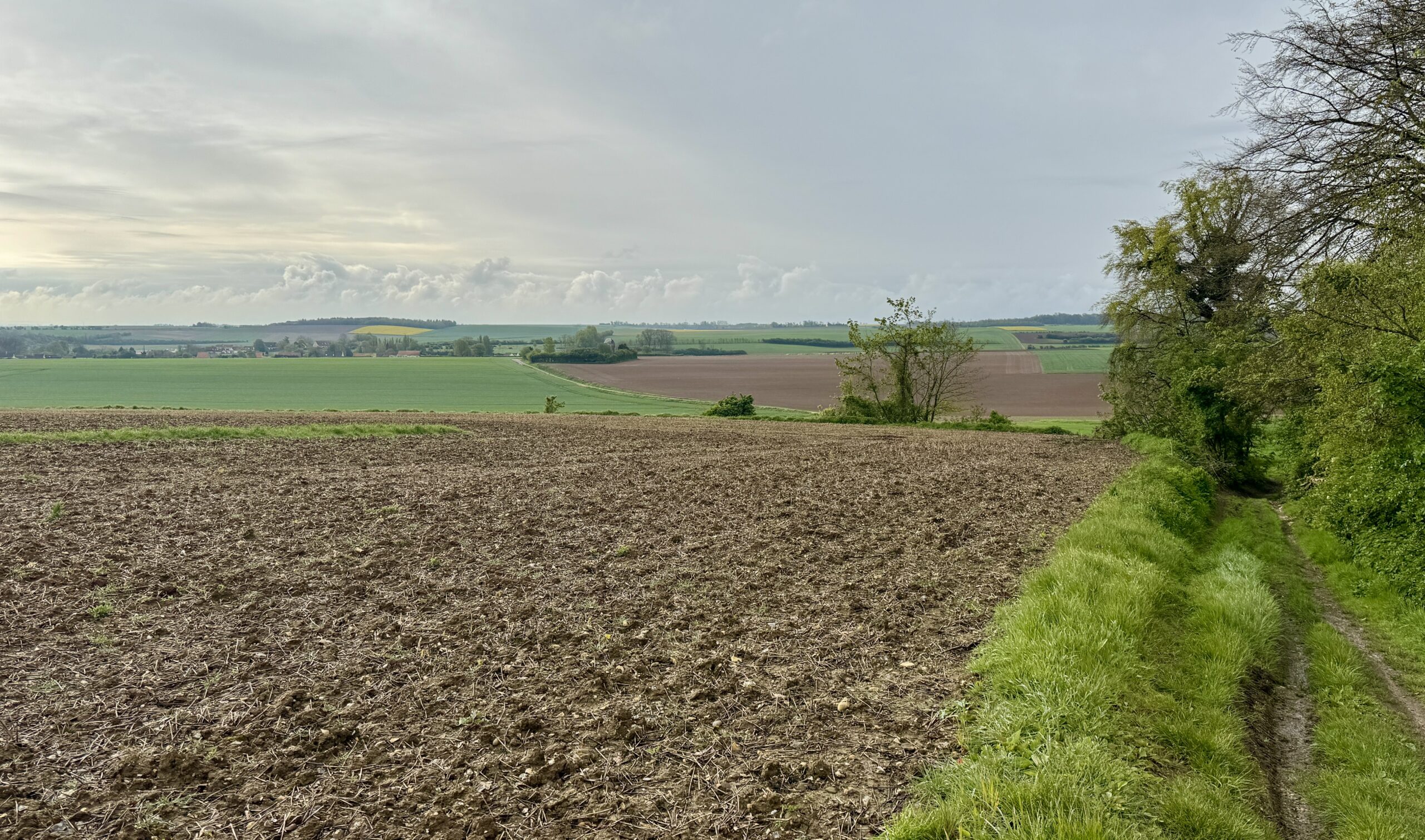
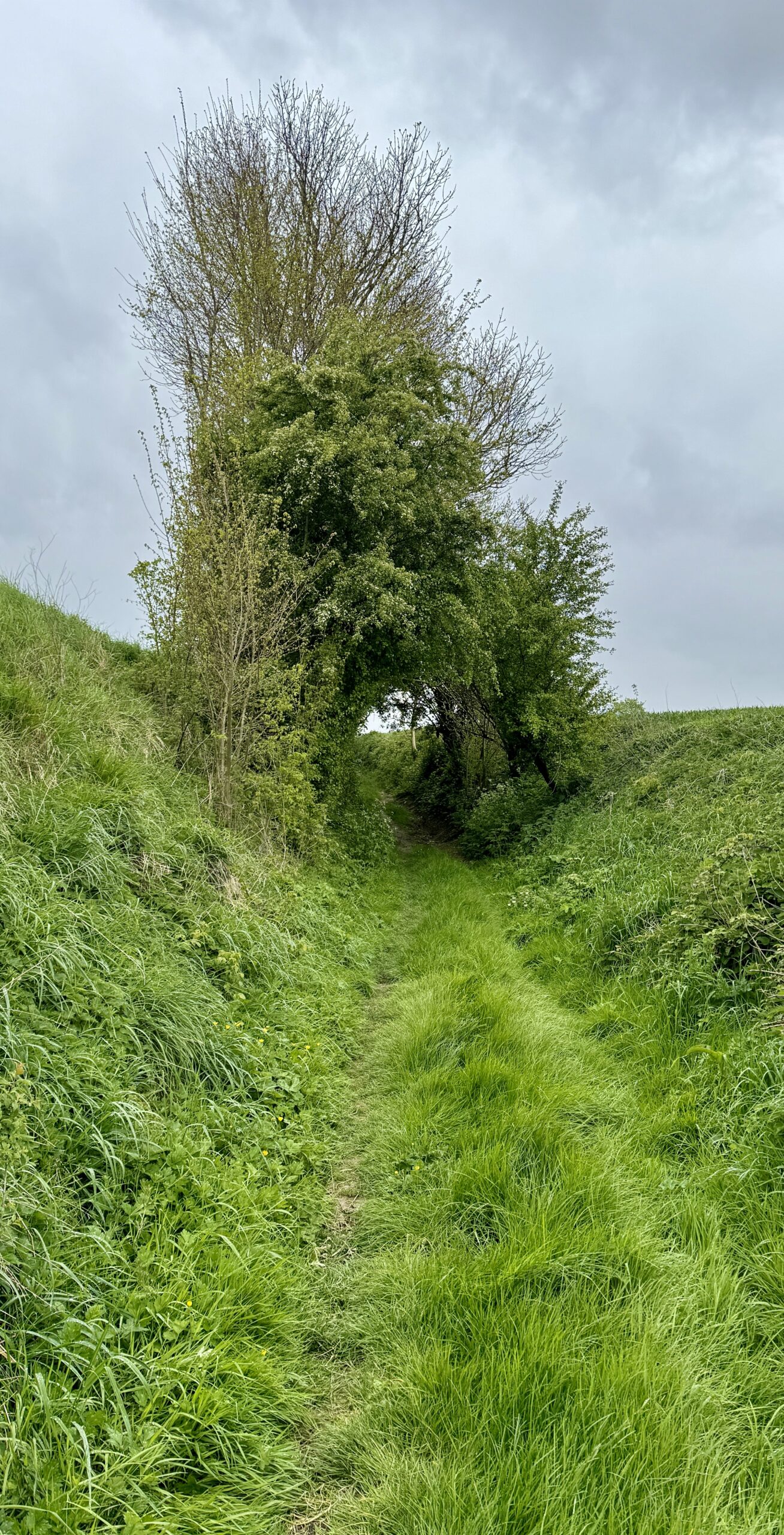
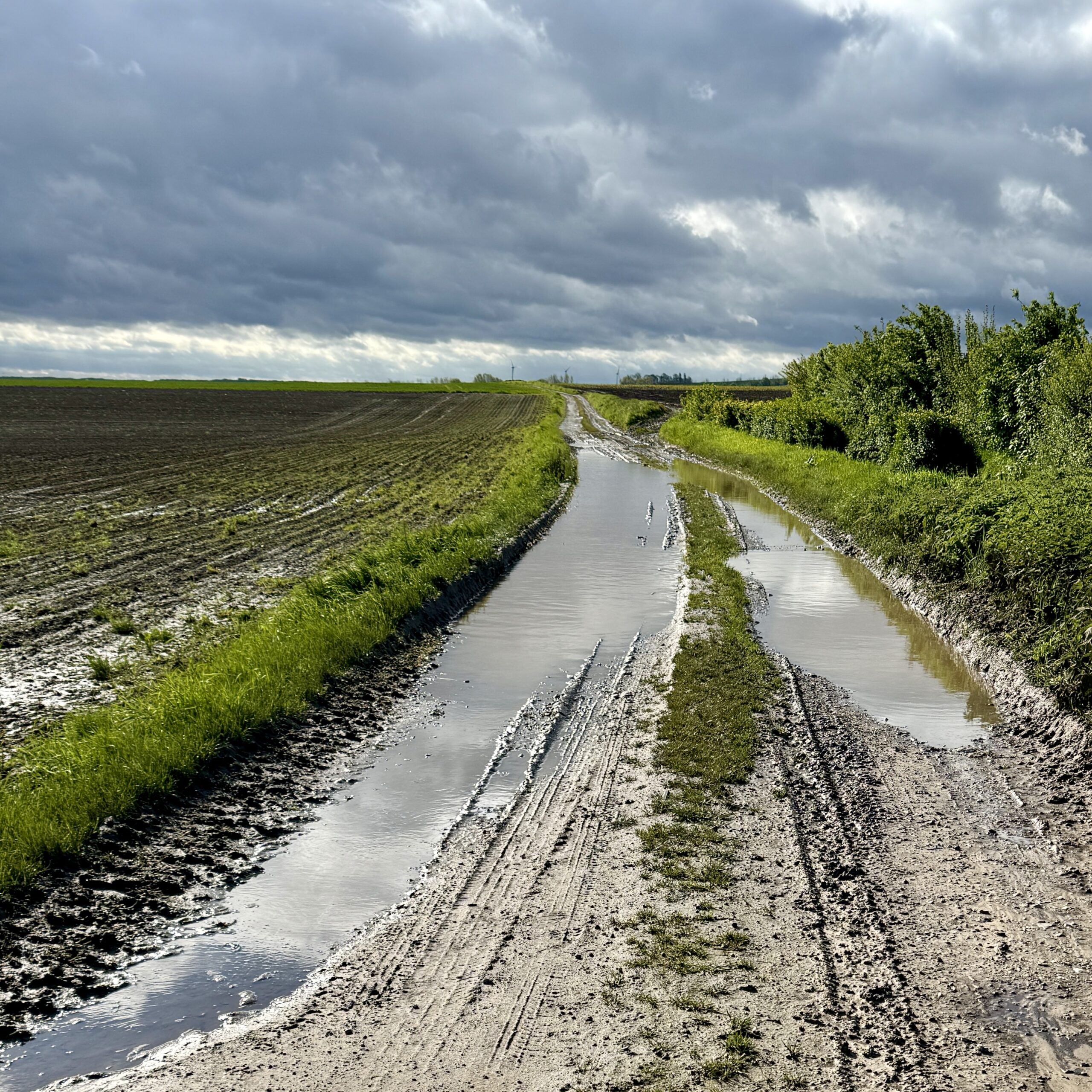
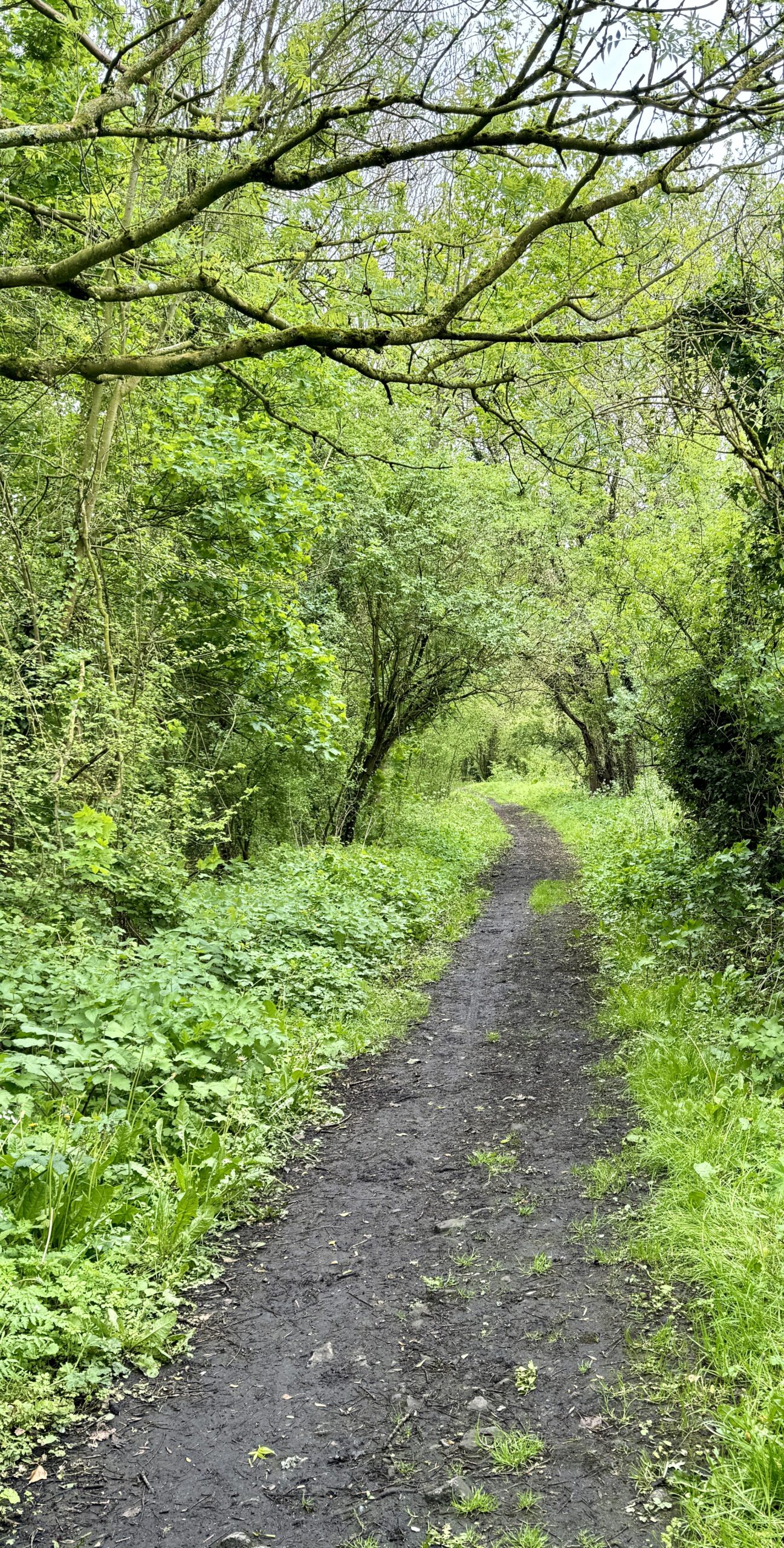
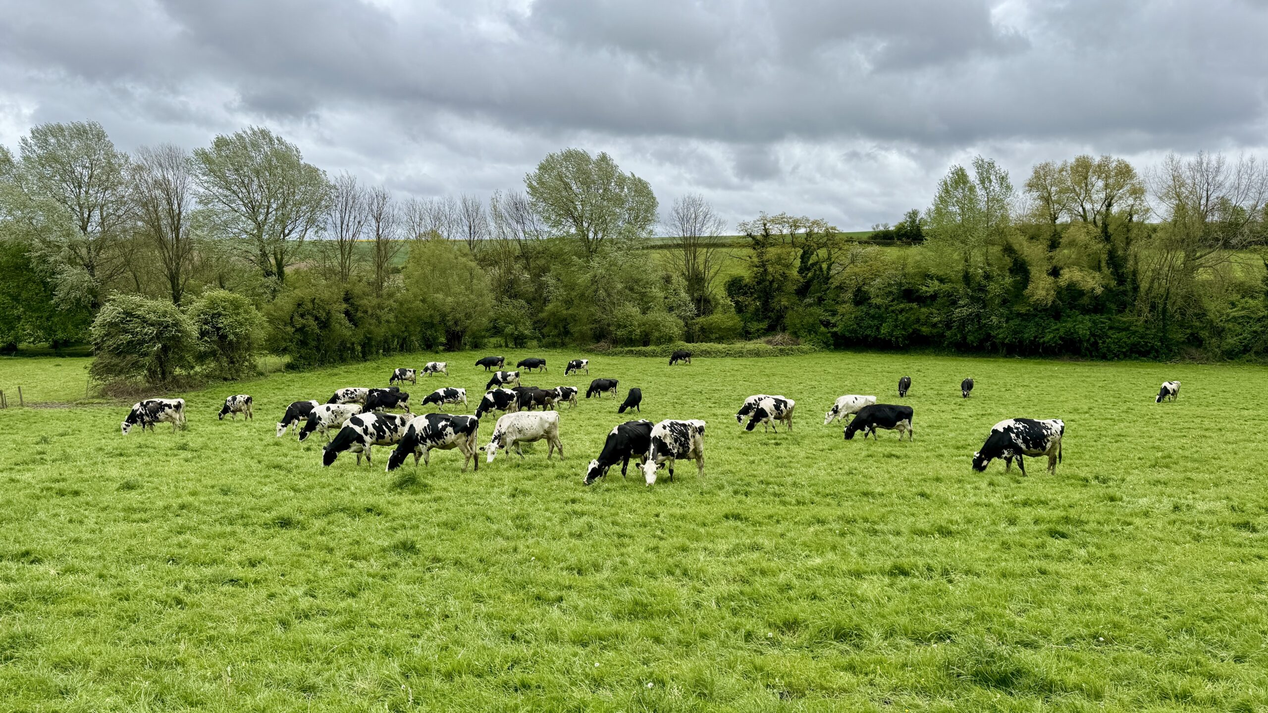
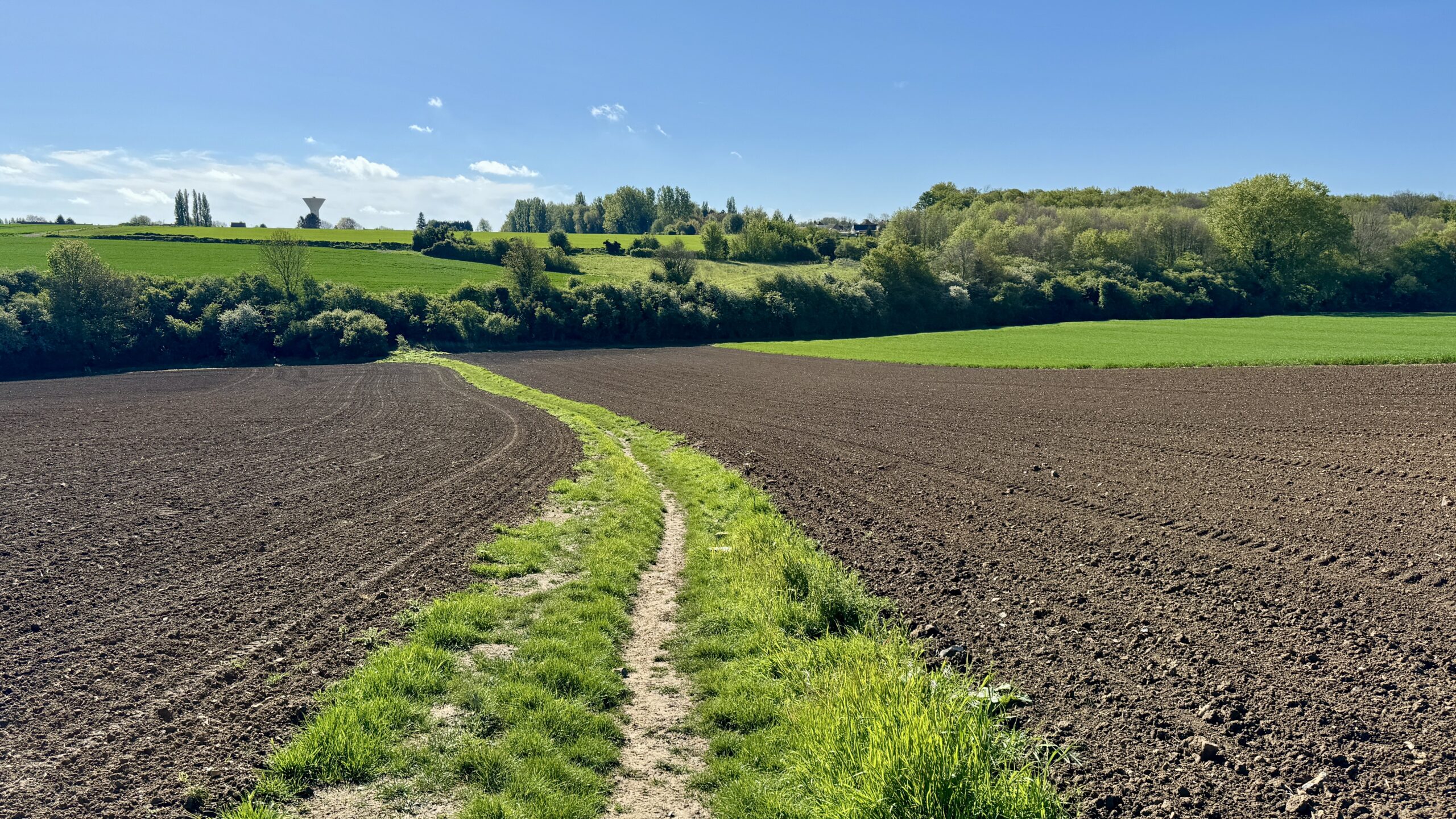
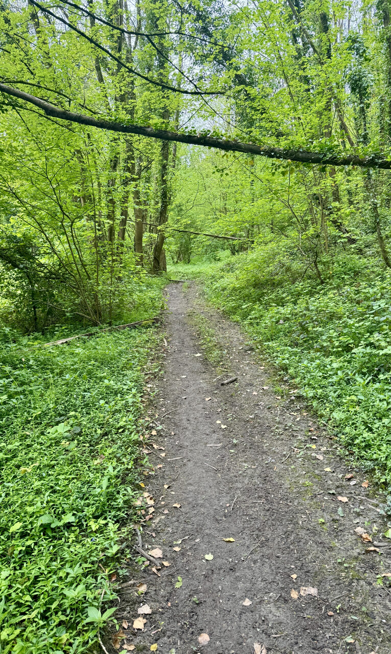
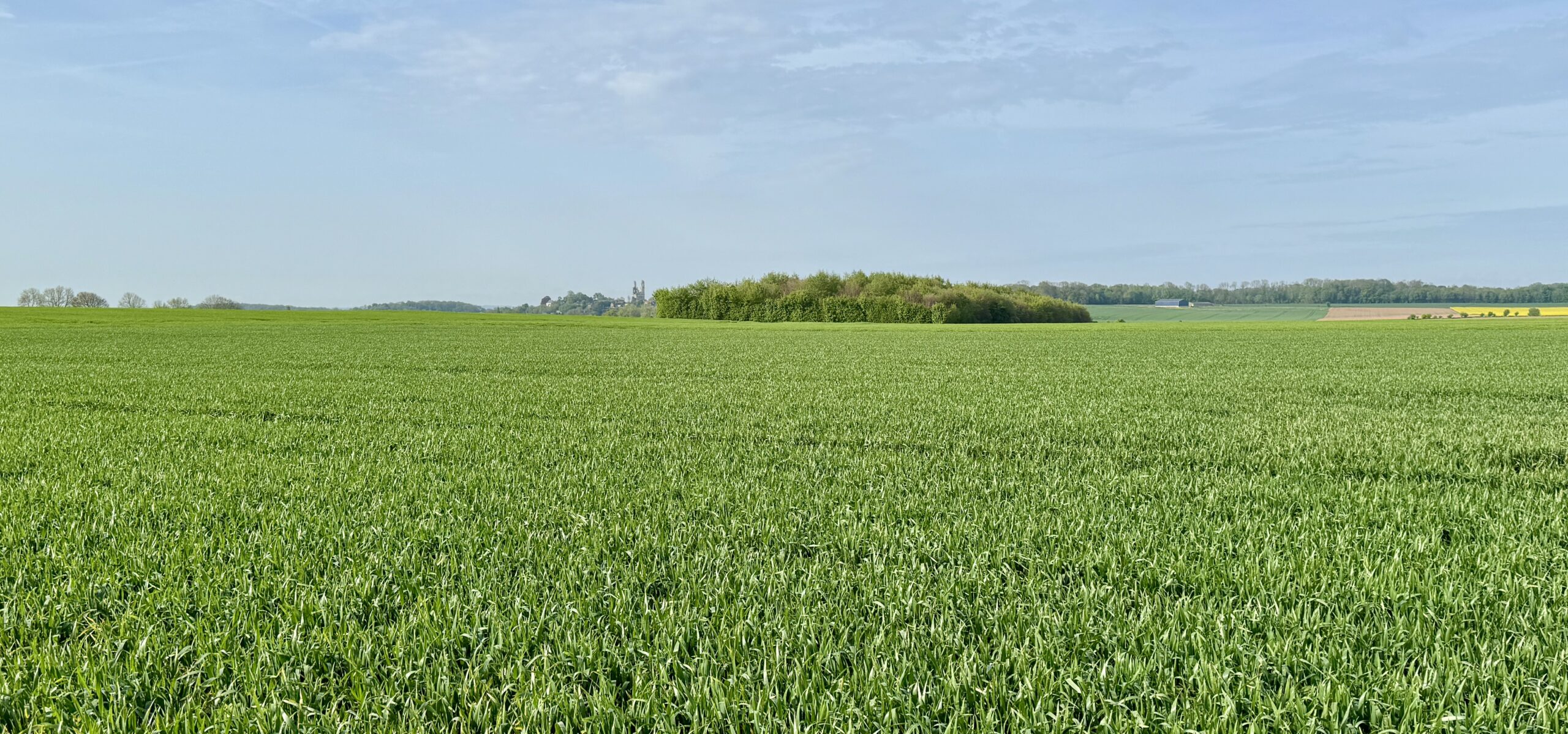
Those are the first words I think of to describe today’s walk. I walked through countless fields on dirt farm tracks and trails overgrown with wet grass, past a few hamlets and a couple of villages.
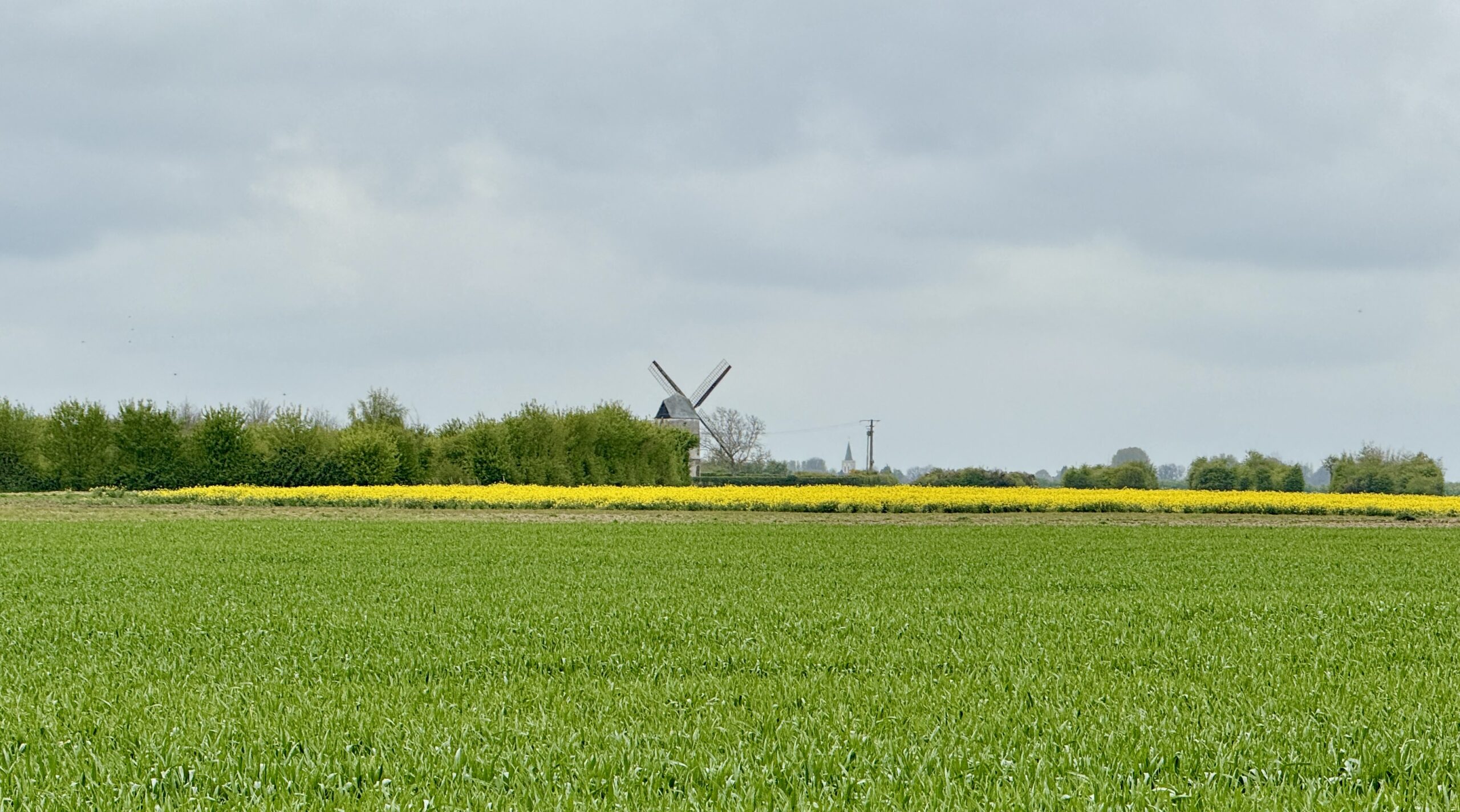
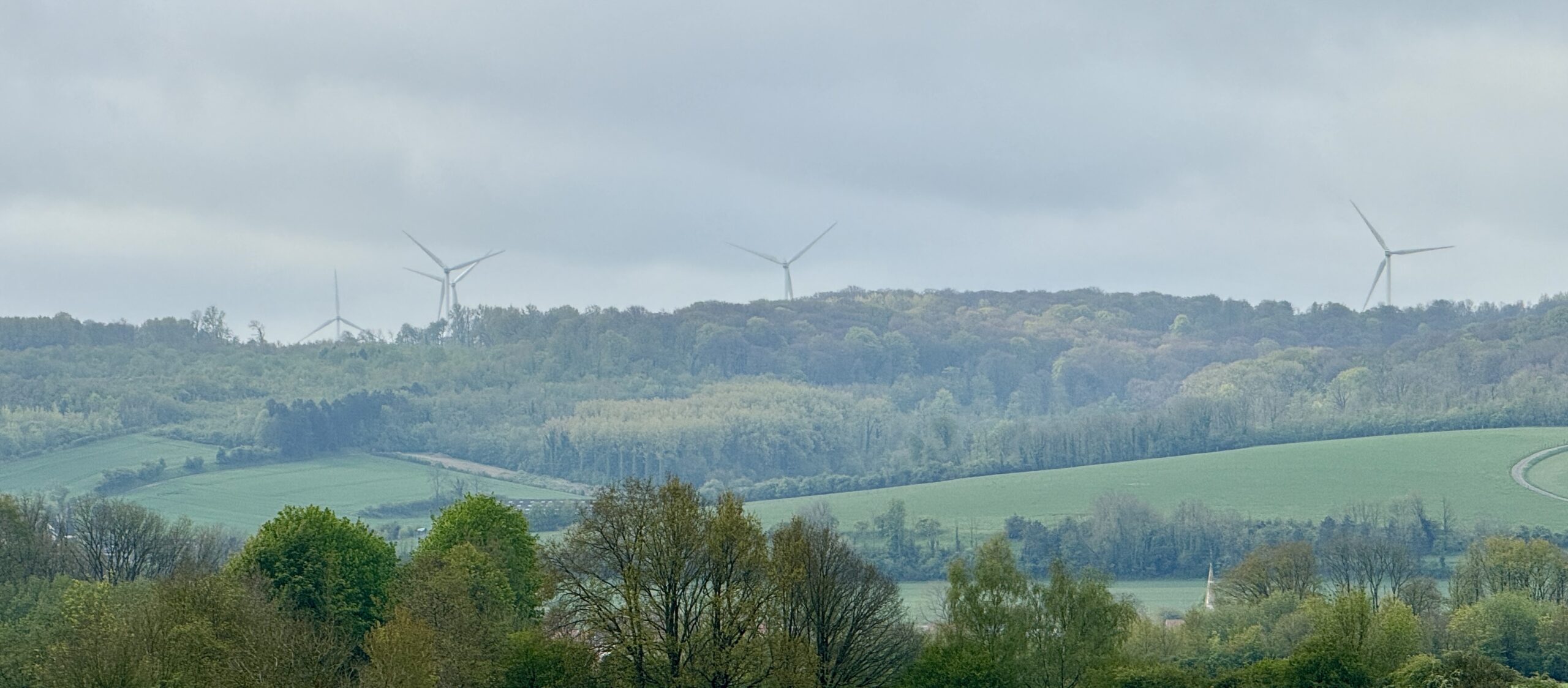
The guidebook mentioned that I would have my first sighting of local windmills, so I kept my eyes open for the tall white turbines that can be hard to see against a grey sky background. I was pleasantly surprised to see a few traditional windmills that would have gladdened the heart of Don Quixote. They were far away and not easy to see in detail. But I liked knowing they were there.
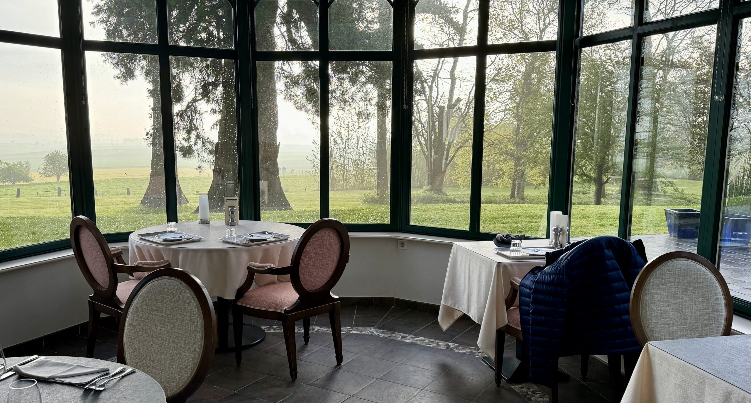
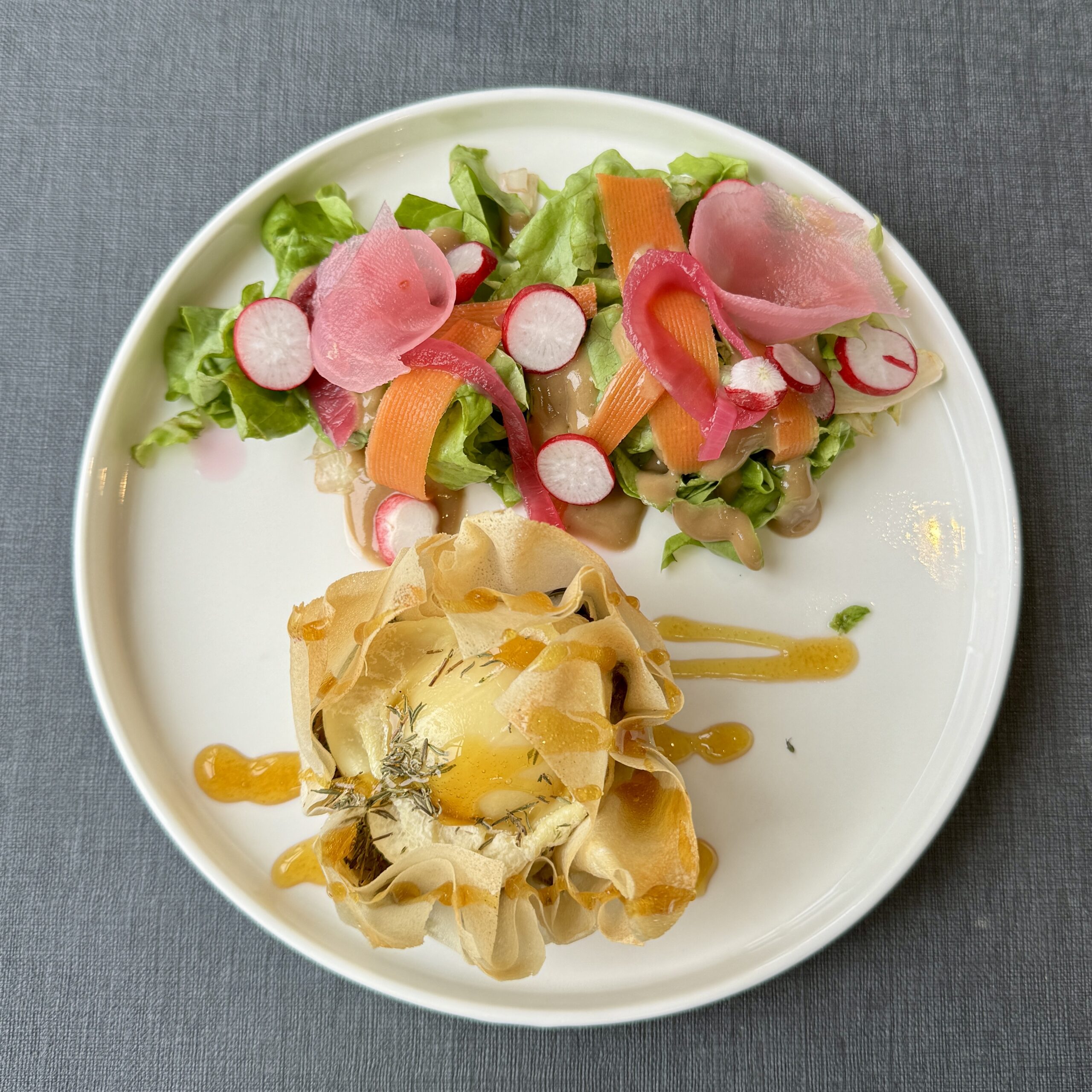
There was nowhere I felt like stopping, so I continued straight on to my destination town of Wisques, where I knew there were two renowned pilgrim accommodations: St Paul’s Abbey (a monastery) and Notre Dame Abbey (a convent). My attempts to contact them over the last couple of days proved futile, but with no other pilgrims within sight or sound, I didn’t expect any problem finding a bed as a walk-in. It was not to be. I was told that it was “too early in the season,” so my only option was a very nice (and expensive!) hotel. I blew my budget, but I won’t complain, because it was there I met a lovely couple from England, Charles and Penny, with whom I expect to build full online friendship. I am beginning to realize that despite the lack of other pilgrims on this route, there are plenty of other wonderful folk with curiosity and an interest in adventure.
Even though I arrived before the hotel’s normal check in time, they had a room for me, so I had the opportunity to wash and dry my dirty laundry, warm up and enjoy a little nap before a remarkable dinner.
All in all, it was a quiet day. Not many pics tonight. Have you seen enough fields? Unfortunately, the grey weather doesn’t show them in their best light.
Day 5 AllTrails Stats
Distance: 17.6 km / 10.9 miles
Elevation Gain: 487 m / 1,598 feet
Steps: 25,839
Relive: https://www.relive.cc/view/vYvE2myp2GO
Accommodation: Hotel La Sapinière, Wisques
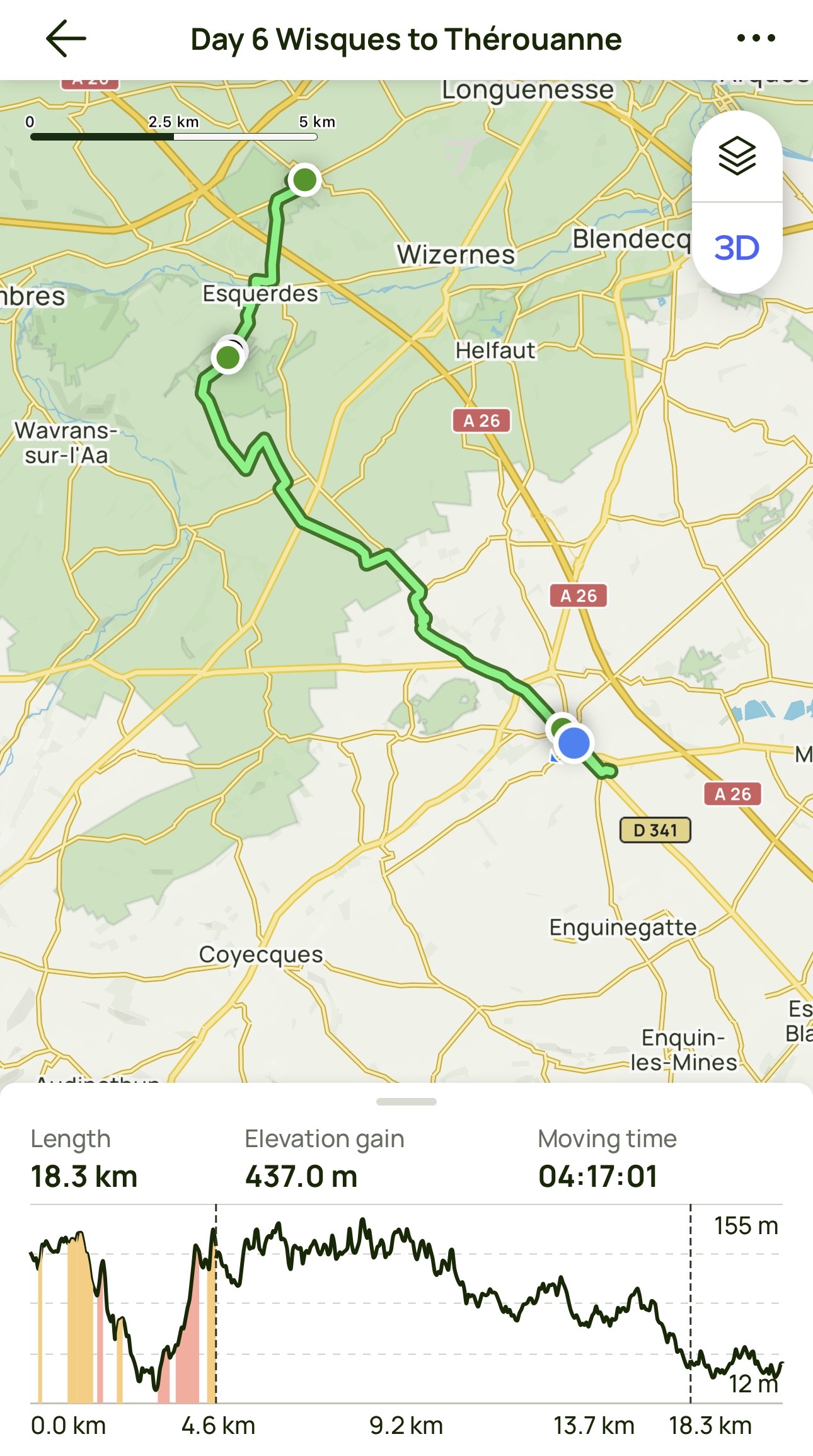
Day 6: Wisques to Thérouanne
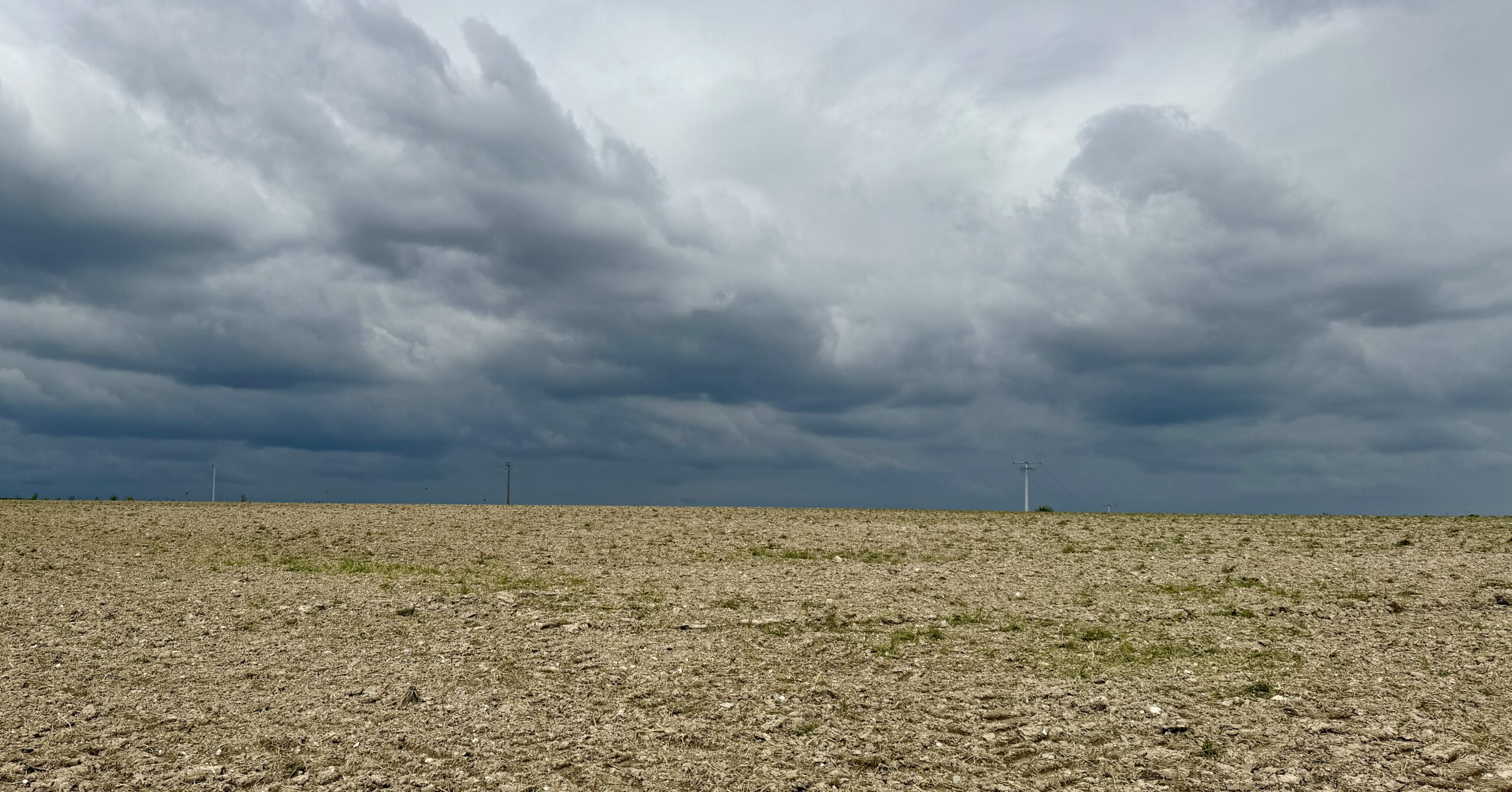
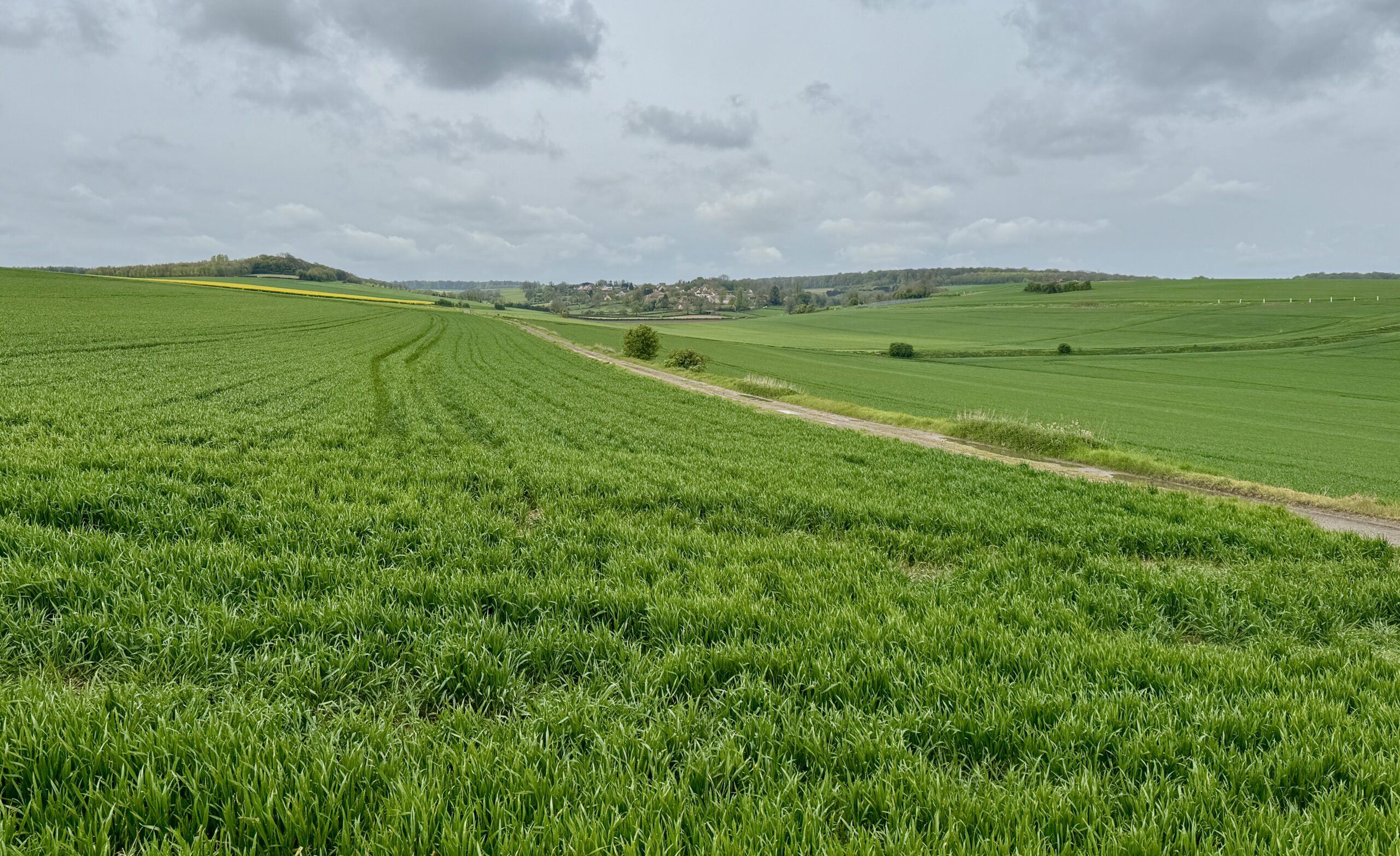
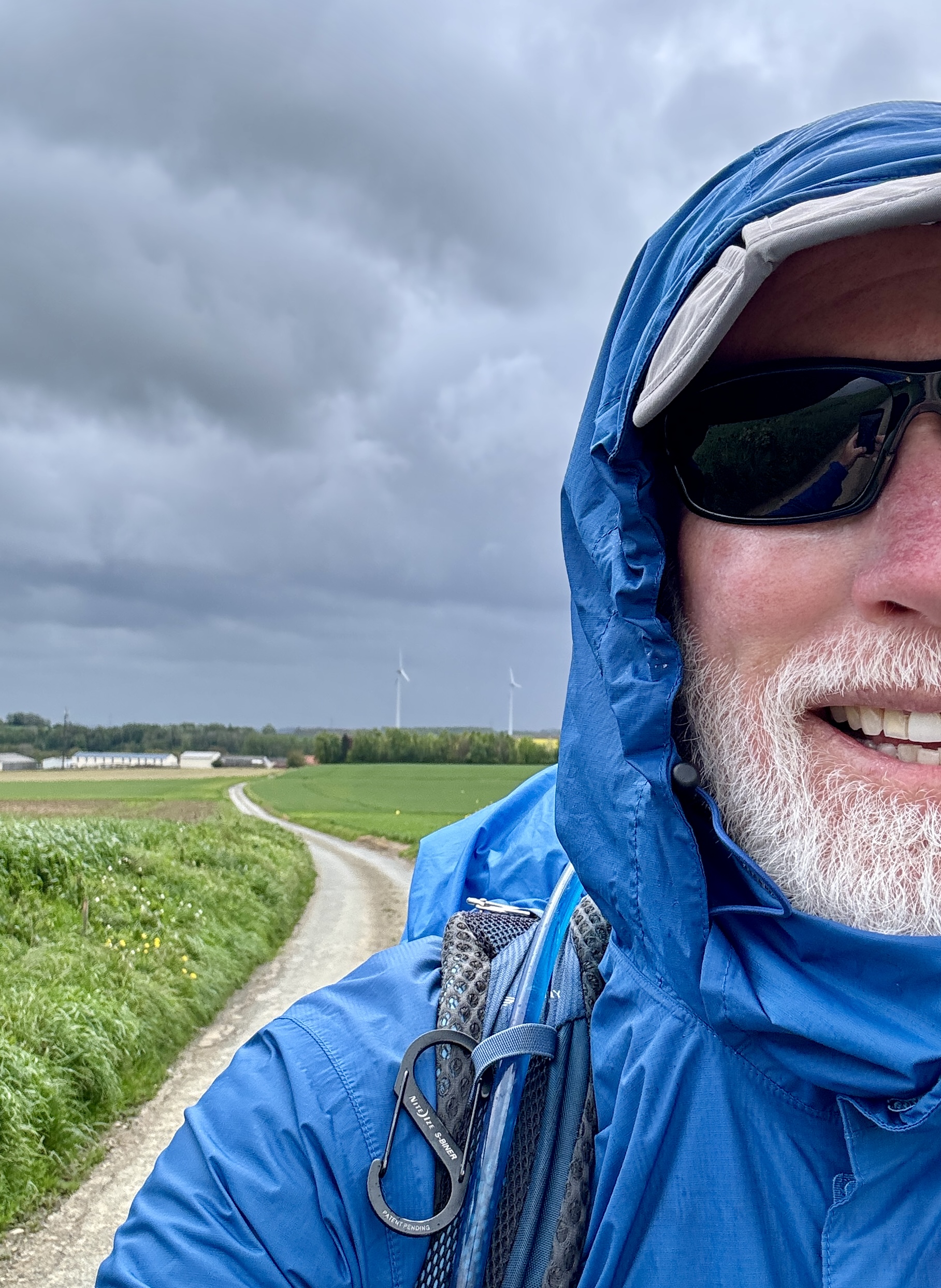
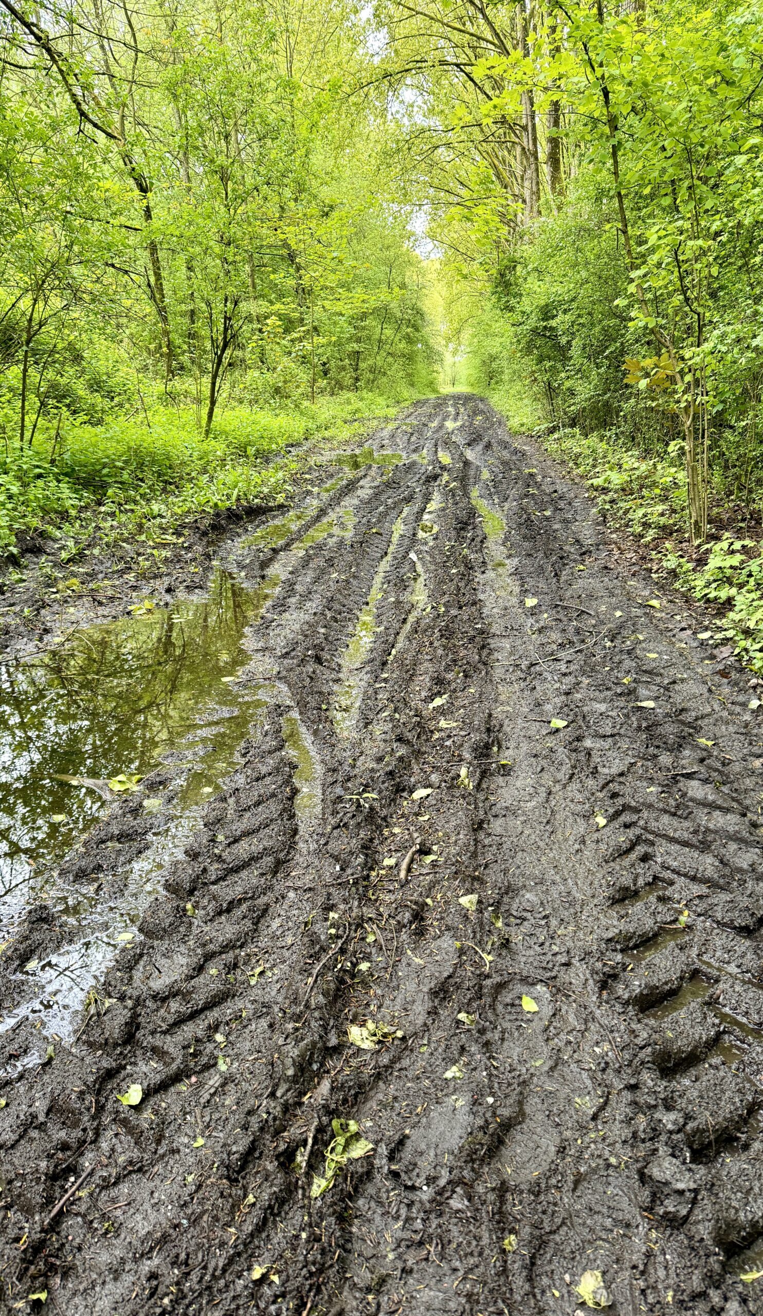
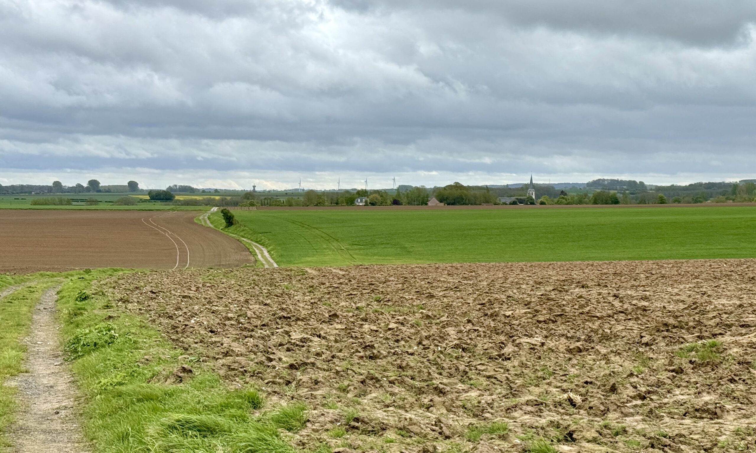
The battle between sunshine and rain came to a draw today. The sun held out in the morning, but the showers started up again this afternoon. Even when it is bright, there are still muddy tracks to contend with for days to follow.
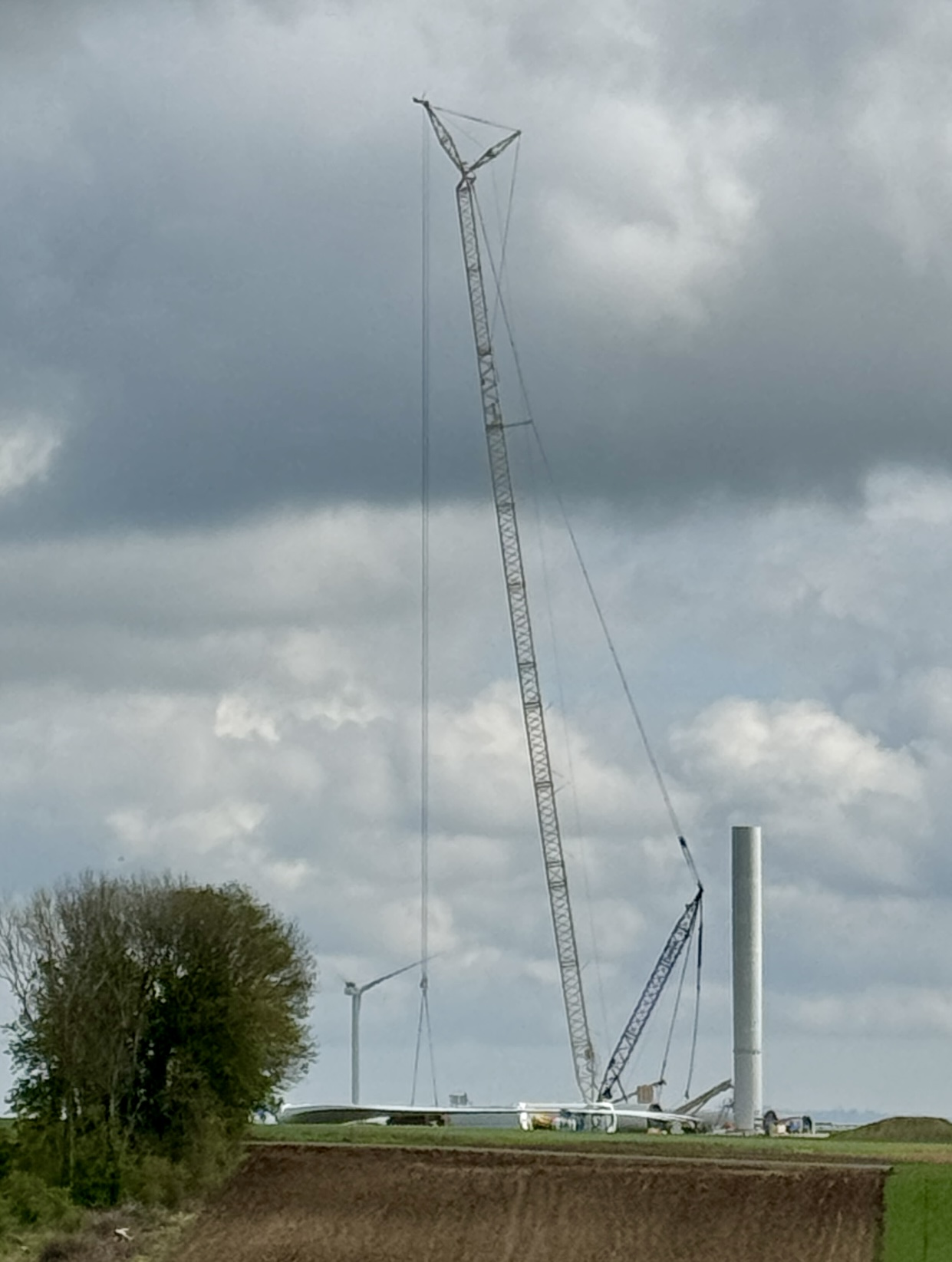
The few historic windmills of yesterday quickly gave way to numerous large, modern wind turbines. They tower over the fields and stretch onward like sentinels marching across the hills.
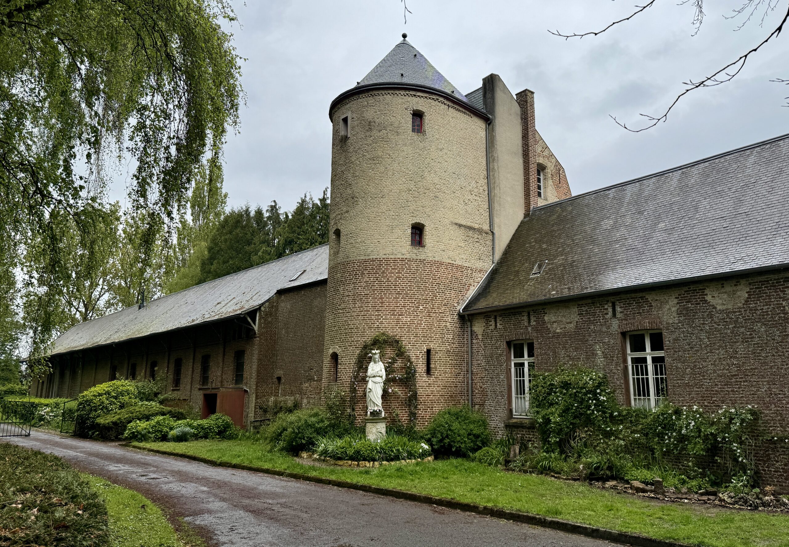
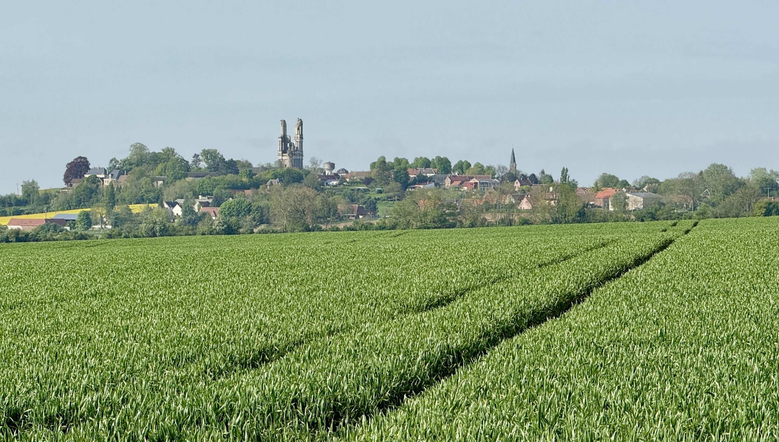
My destination town of Thérouanne is proud of its Archeology Museum, but I found it closed. Another example of my being on the Via “too early in the season.” I was also the only guest at my gîte, which can hold up to a dozen pilgrims. With a nearby market, I managed to conjure up a tasty dinner on my own. I’m getting used to solo travel in the extreme.
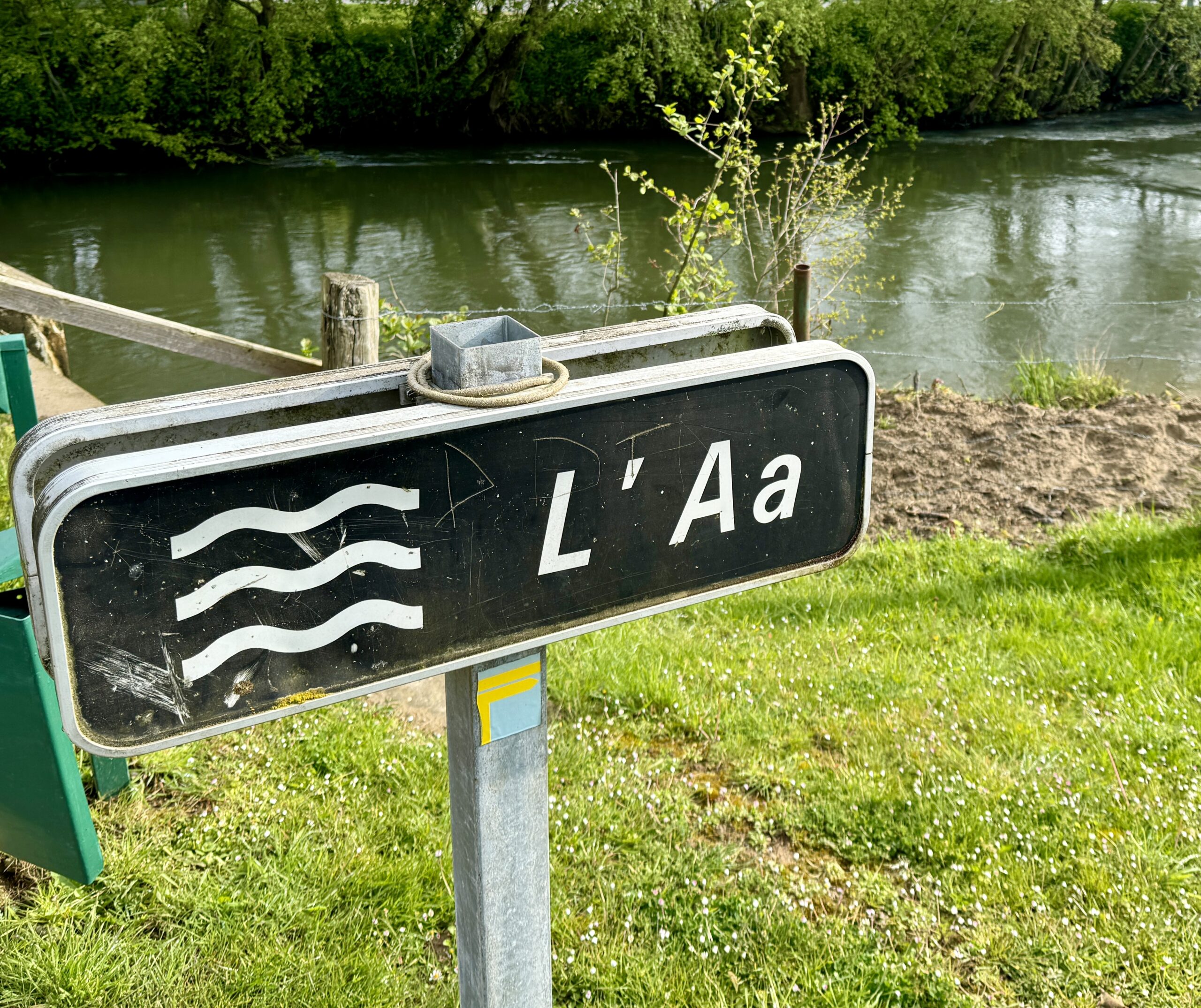
I came across a river that insists on being in first position of all lists of rivers!
My first sighting of the wind turbines.
Though the rain has stopped falling, it will take some time for the muddy tracks to dry out.
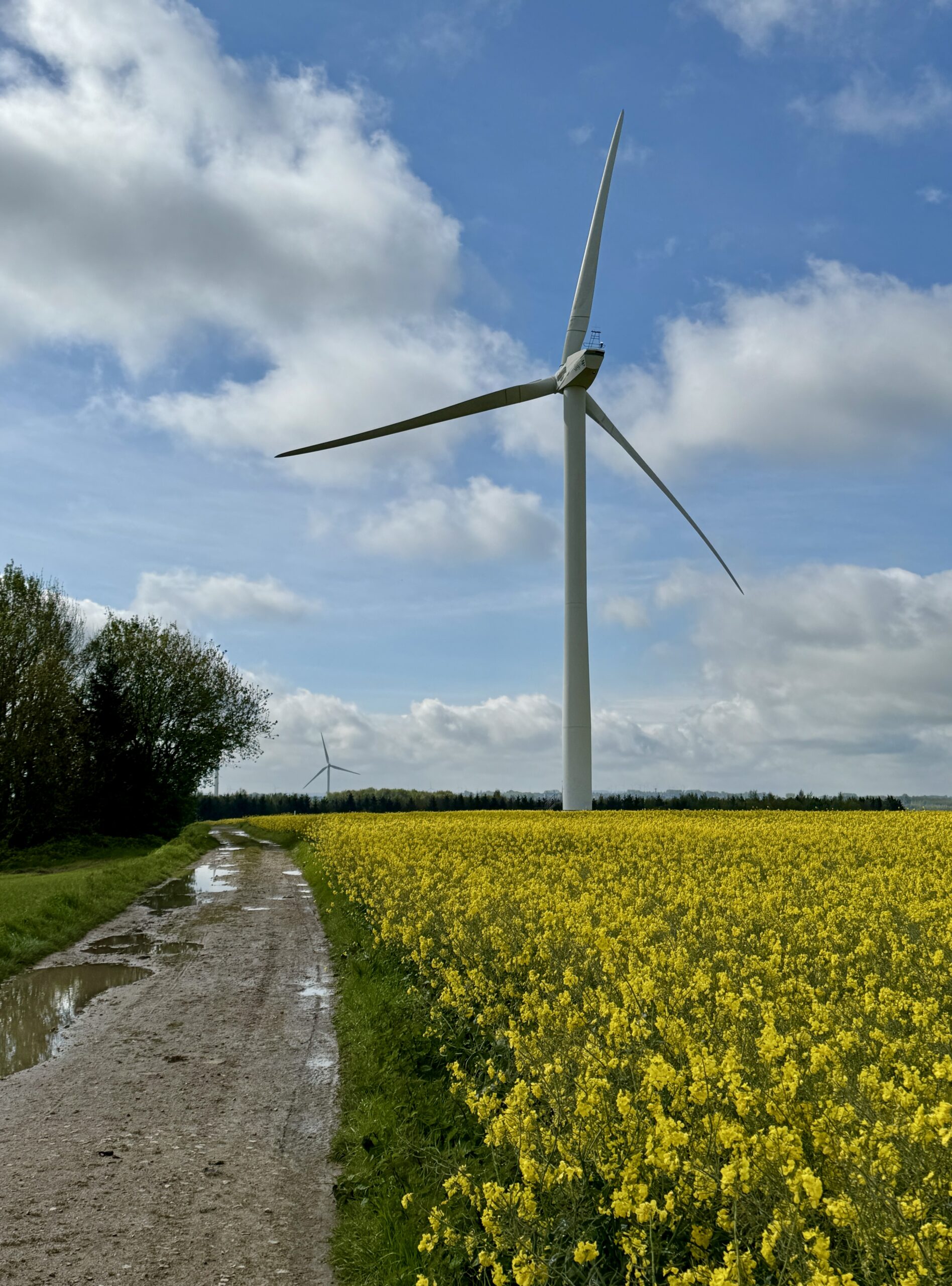
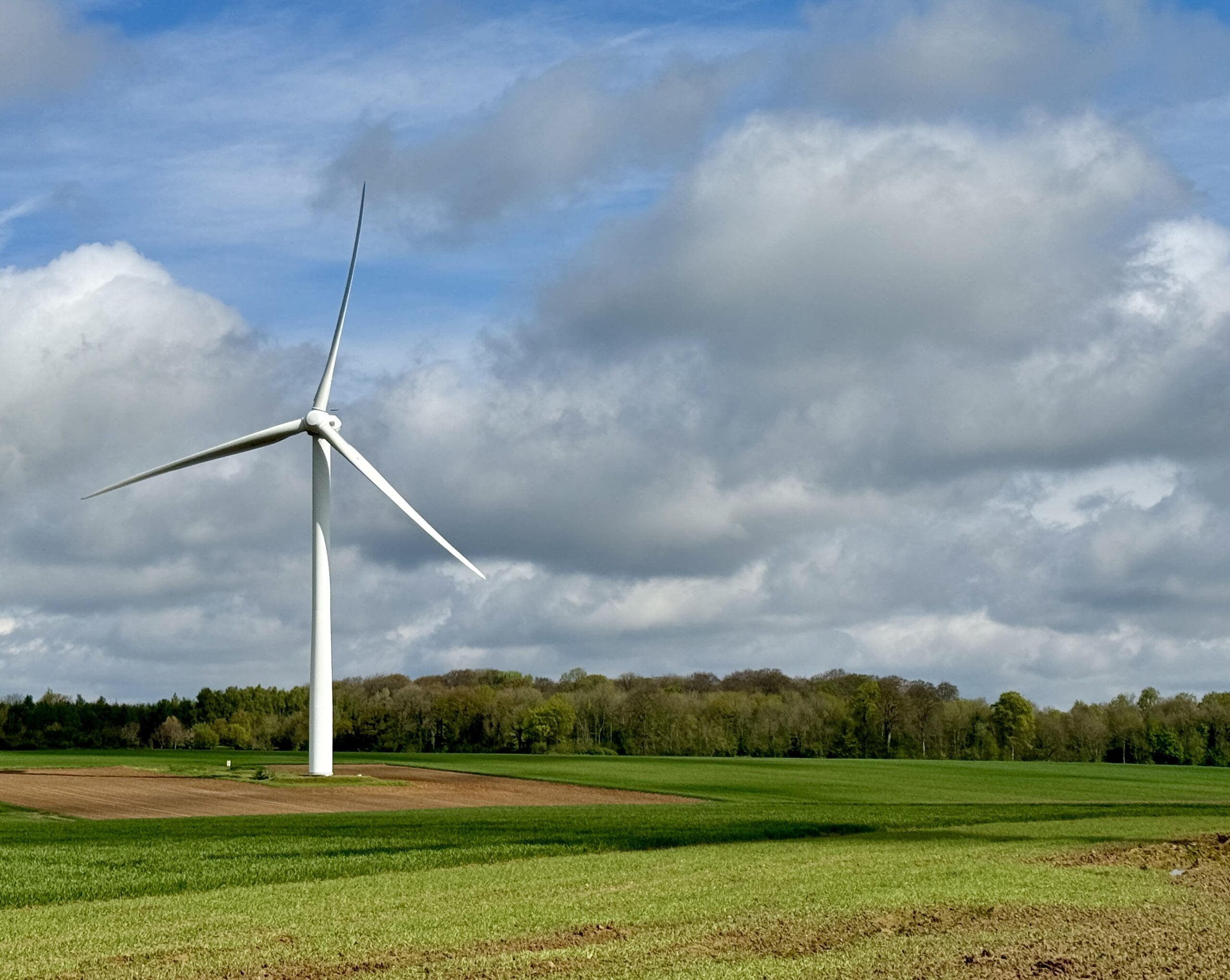
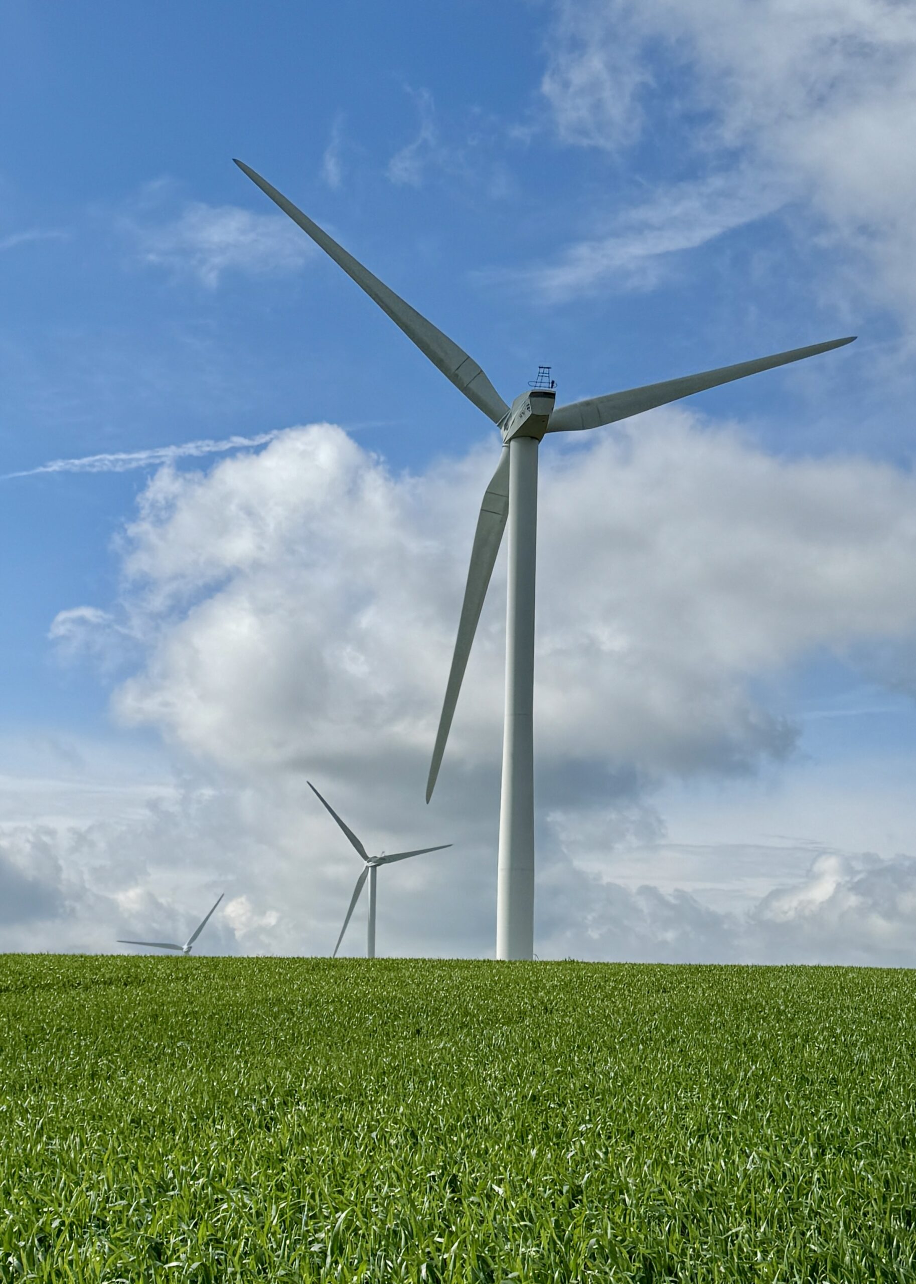
Many new turbines are going up.
The blue dot is moving!
Day 6 AllTrails Stats
Distance: 18.3 km / 11.4 miles
Elevation Gain: 437 m / 1,434 feet
Steps: 27,419
Relive: https://www.relive.cc/view/vYvE2m2JpGO
Accommodation: Gîte Eden, Thérouanne
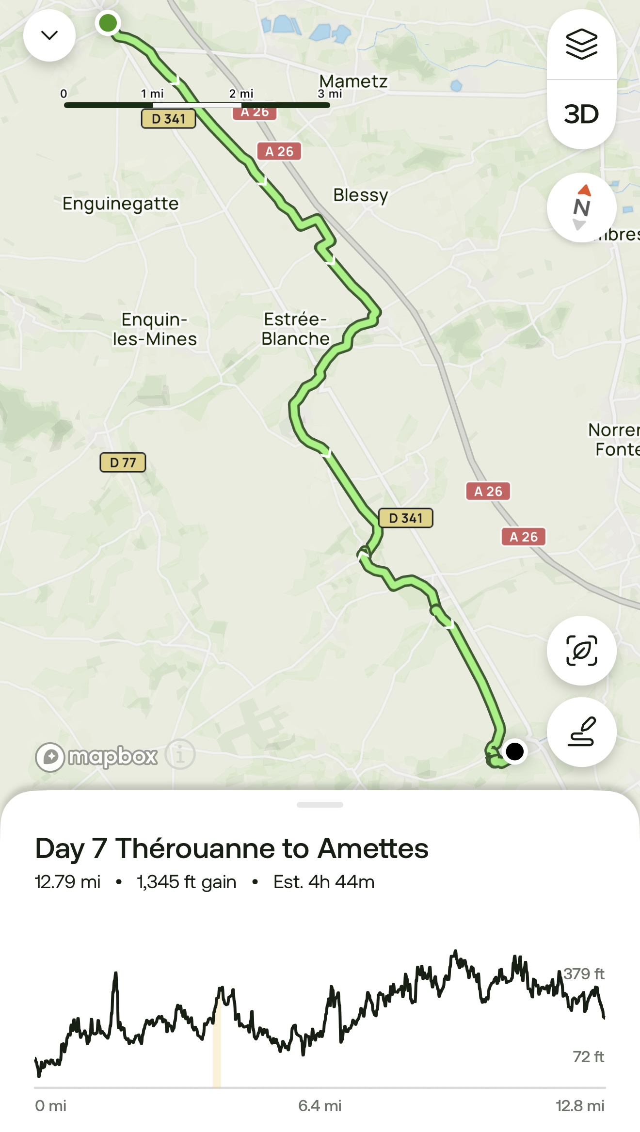
Day 7: Thérouanne to Amettes
Where is everybody?
France is so quiet and empty – at least, the part I’ve passed through so far.
It’s Sunday, and since very few people work today, the shops are closed. And so are the churches – all but one was locked up tight. It’s cold, windy, and rainy, but the dogs still need to be walked, don’t they? I saw a few people in their cars, but I have no idea where they were going. There are many beautiful homes and gardens, but I saw no one in or near them. All in all, it was rather strange.
I had the fields and muddy tracks all to myself!
My afternoon arrival to a popular gîte in Amettes interrupted the host’s family Sunday dinner so I settled into my cozy room, opened a good book, and promptly fell to sleep for the rest of the night. By morning, I was hungry, but first posed for my host’s requisite photo so she could introduce me to the Facebook VF Group as her first American pilgrim of the year. Then I headed out into… what else? More fields!
It rained off and on all morning. (The sunglasses are for wind and rain protection more than because of the sun.)
This is Cricket Alley in the small town of Liettres, which surprised me with its claim to be the birthplace of the game of that name. I wonder if any of my readers from Britain or the Commonwealth countries have heard that before. For evidence, the French national archives holds a letter of complaint regarding an argument during a game in the village in 1478, long before the English-speakers claim its origins.
While all the shops and most of the churches were closed on this Sunday, at least this automated market was well-stocked!
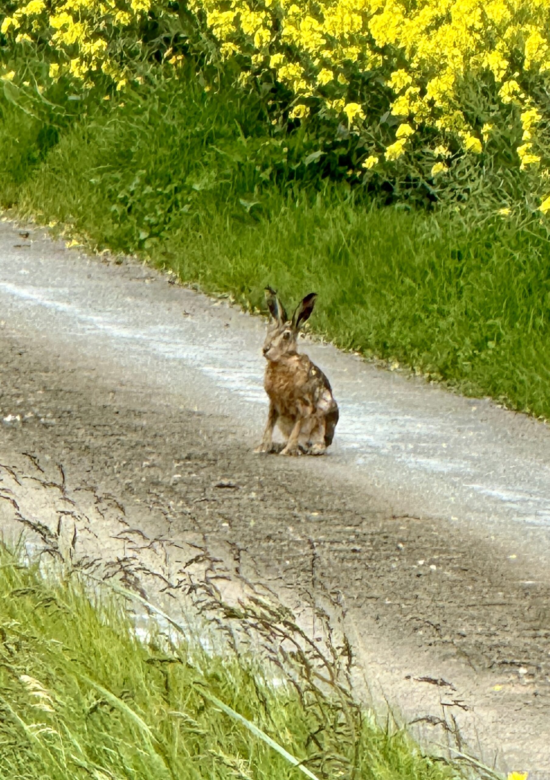
As a slow traveler, I sometimes feel like the tortoise. Today, I met my opponent.
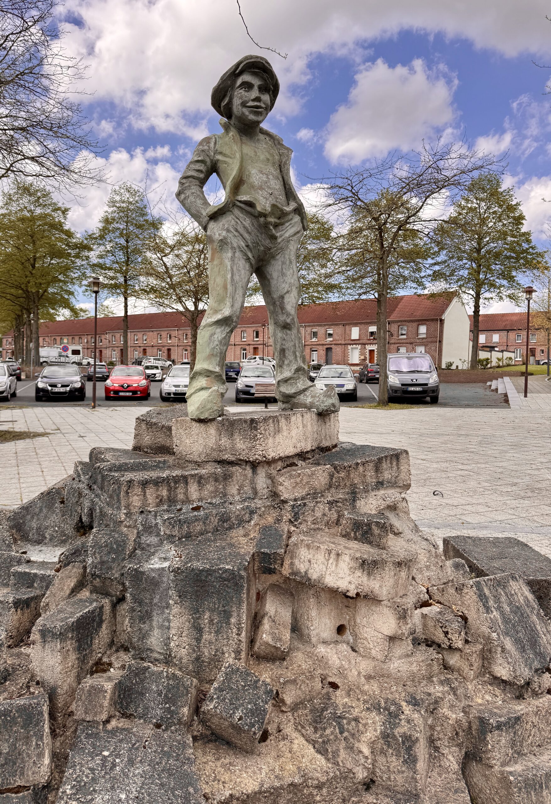
Pilgrim Art
I see my destination, but it’s still 45 minutes away in this strong headwind.
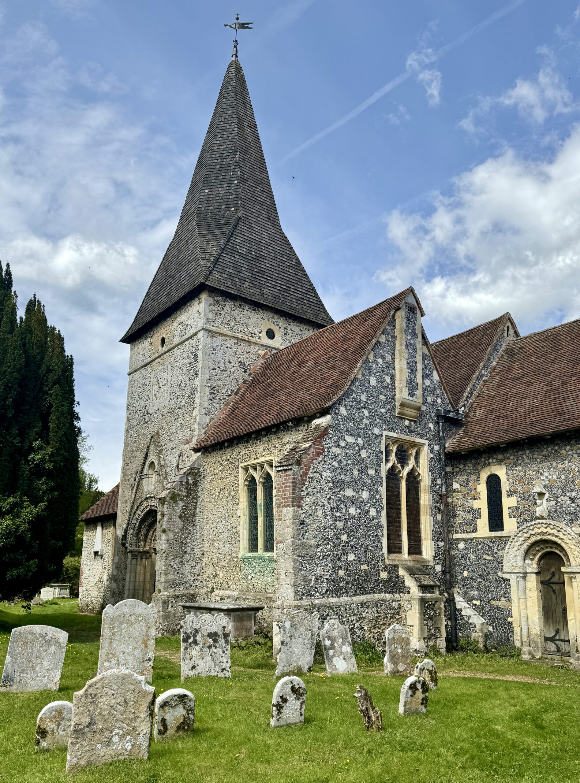
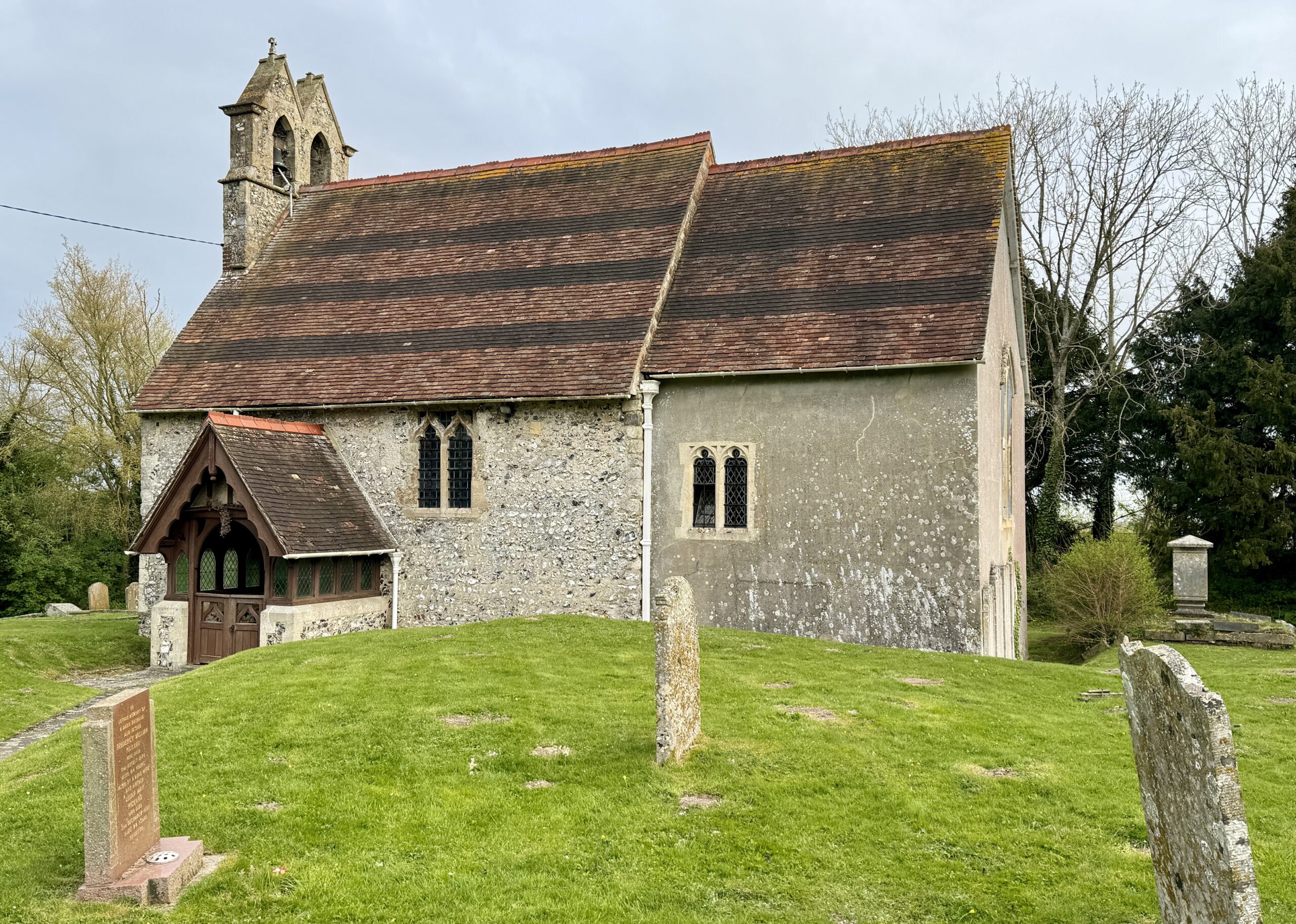
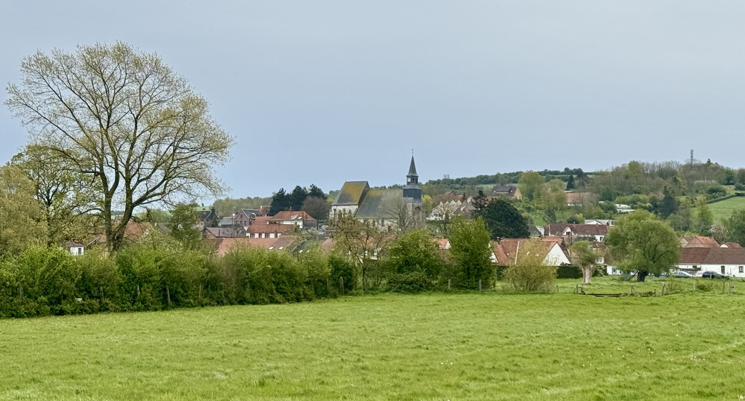
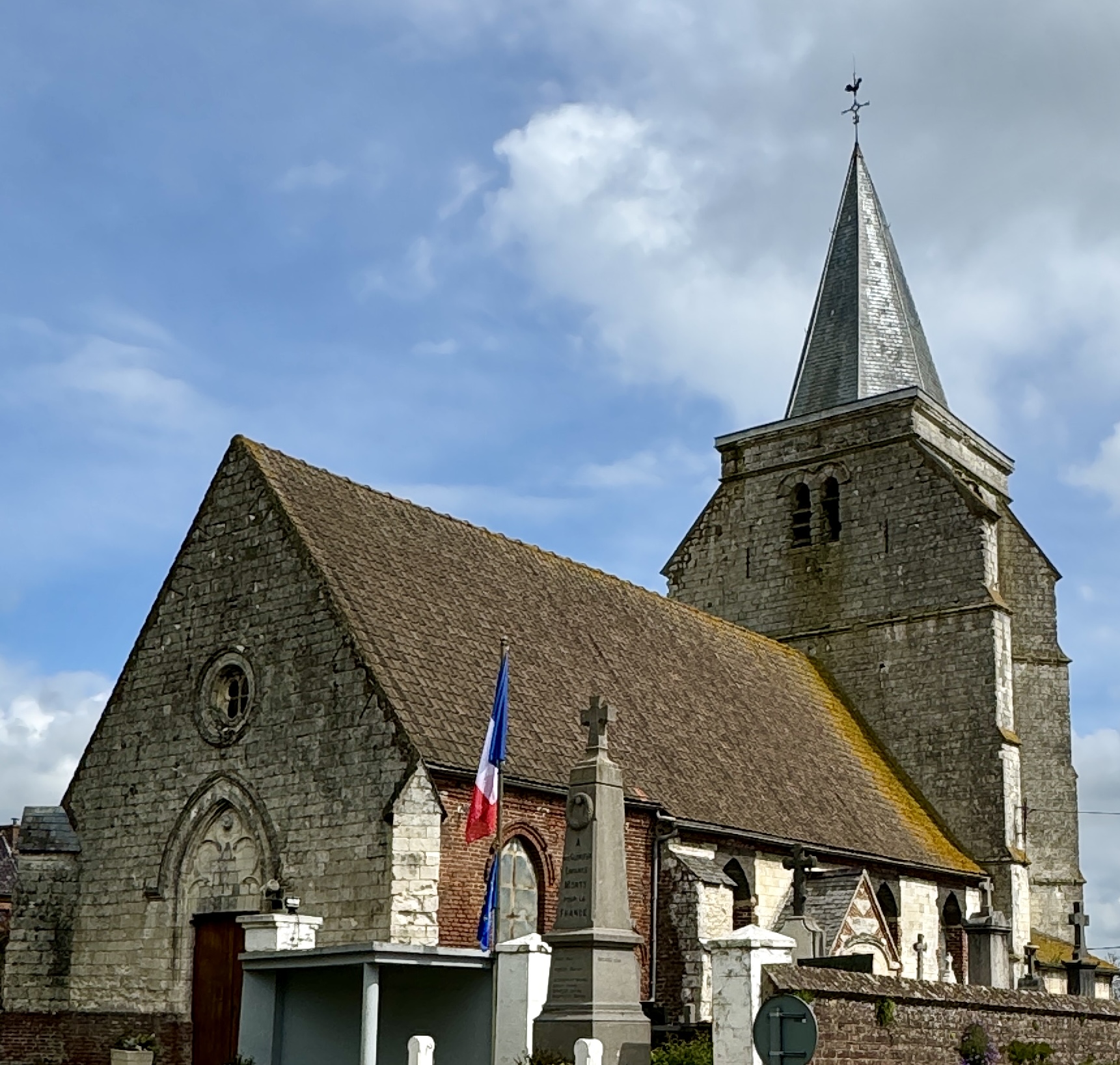
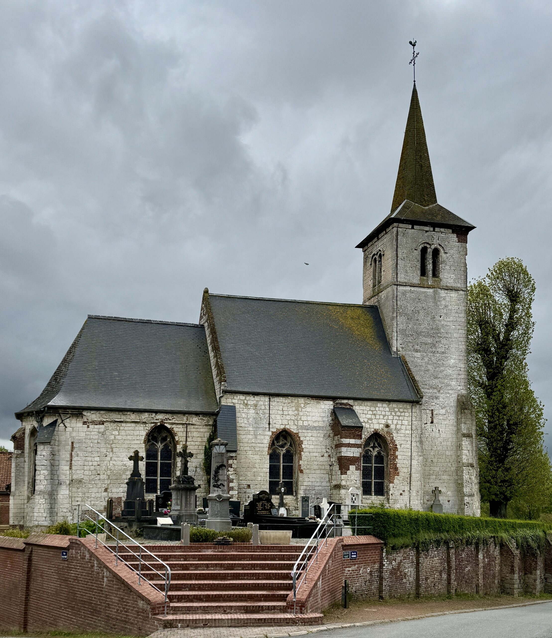
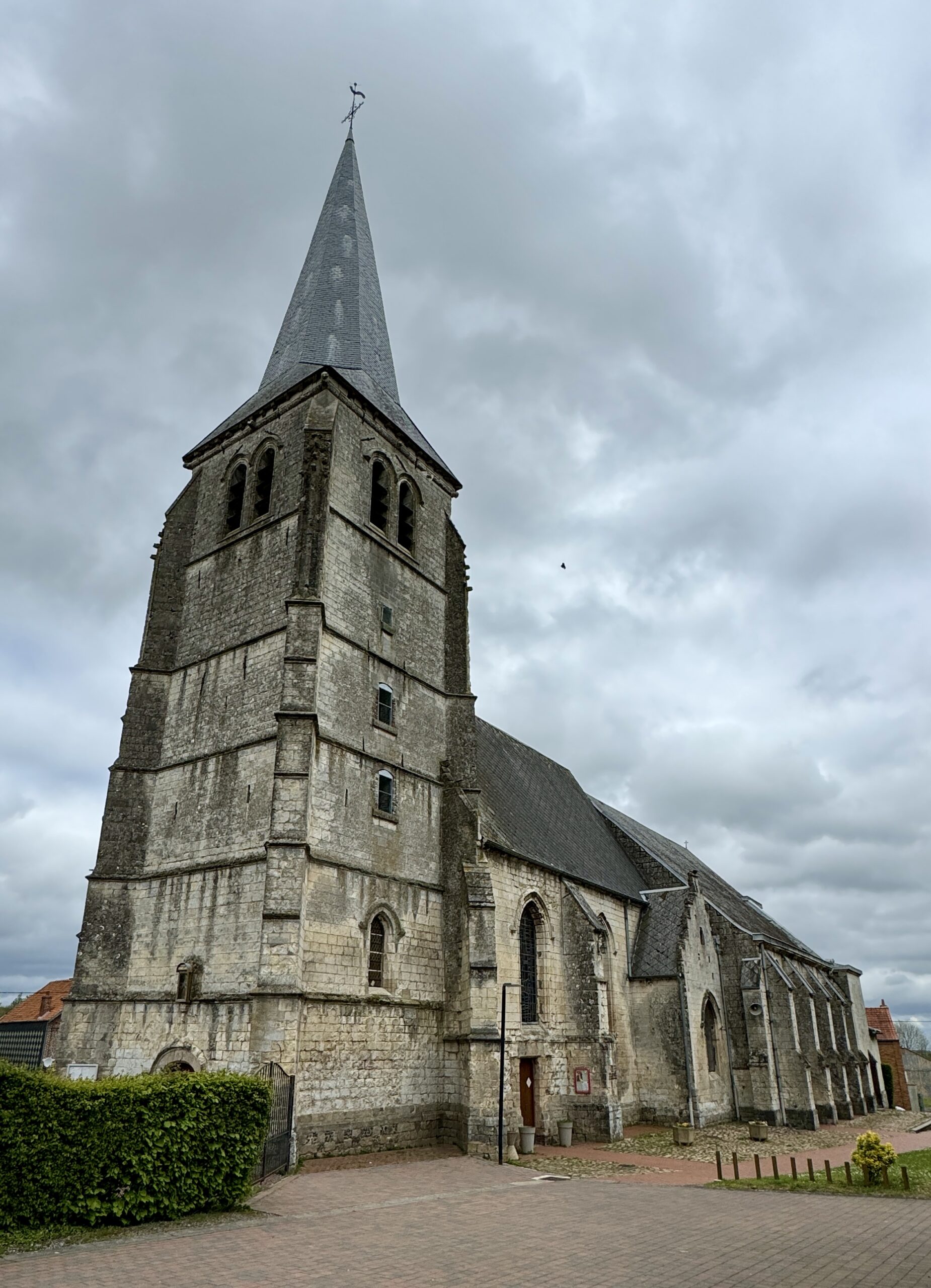
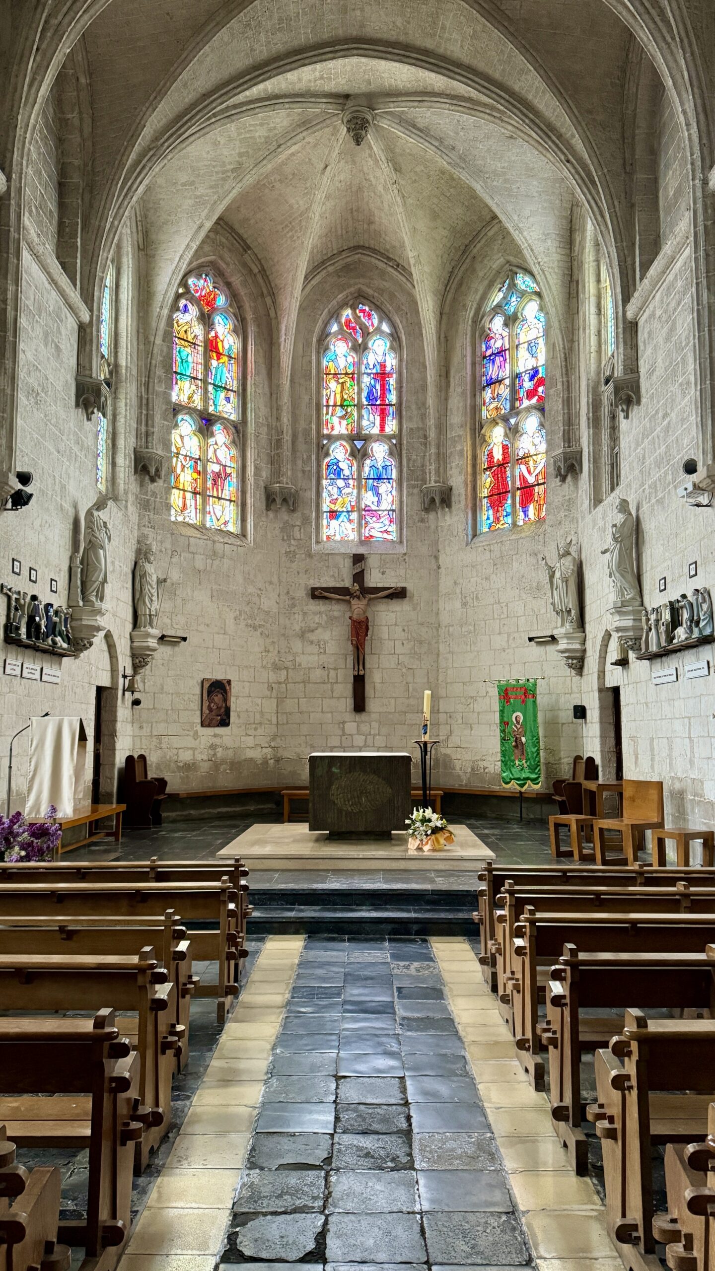
Amettes is a small town well known as the site of the Church of St Sulpice which holds the relics of Saint Benoît, one of many patron saints of pilgrims in the Catholic tradition. It is also at the junction of several prominent ancient transportation routes, including the Via Francigena. Personally, I liked it best because it was where I finally found a church that was open. I enjoy their architecture and also like to visit inside now and then.
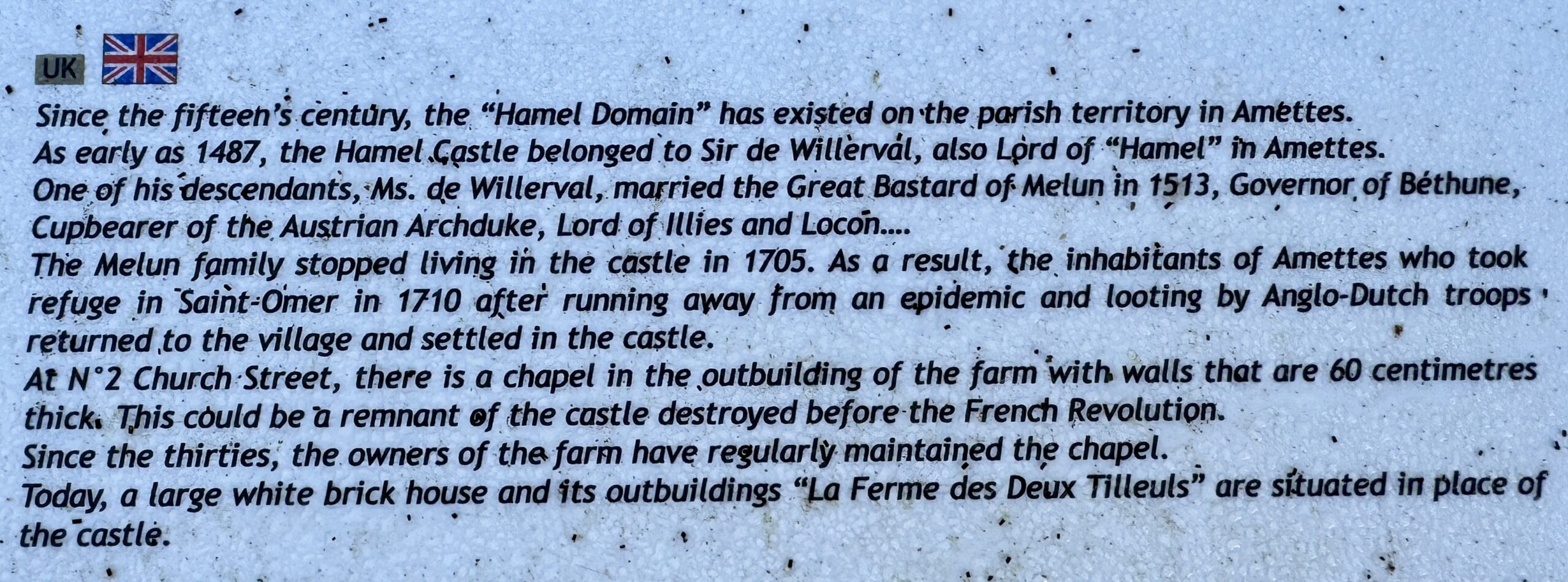
I love the detail available in the local history of old places!
Day 7 AllTrails Stats
Distance: 20.6 km / 12.8 miles
Elevation Gain: 410 m / 1,345 feet
Steps: 29,583
Relive: https://www.relive.cc/view/vAOZwQE1yo6
Accommodation: La ferme des 2 tilleuls, Amettes
Day 8: Amettes to Bruay-la-Buissière
Yesterday, I asked the question: “Where is everybody?” Today, I can say: “I found some of them!”
The answer seems to lie in the weather, as today was the best I’ve had since I arrived to this hemisphere more than three weeks ago and started walking. Many of the routes in the sheltered woods and over the open fields are still muddy, but I have to rate today’s conditions as excellent. I wasn’t alone in this assessment. I saw so many people enjoying the sunshine, warmth, and gentle breezes. And I had an experience of generosity that leads me to believe that our attitudes and behavior are directly linked to weather.
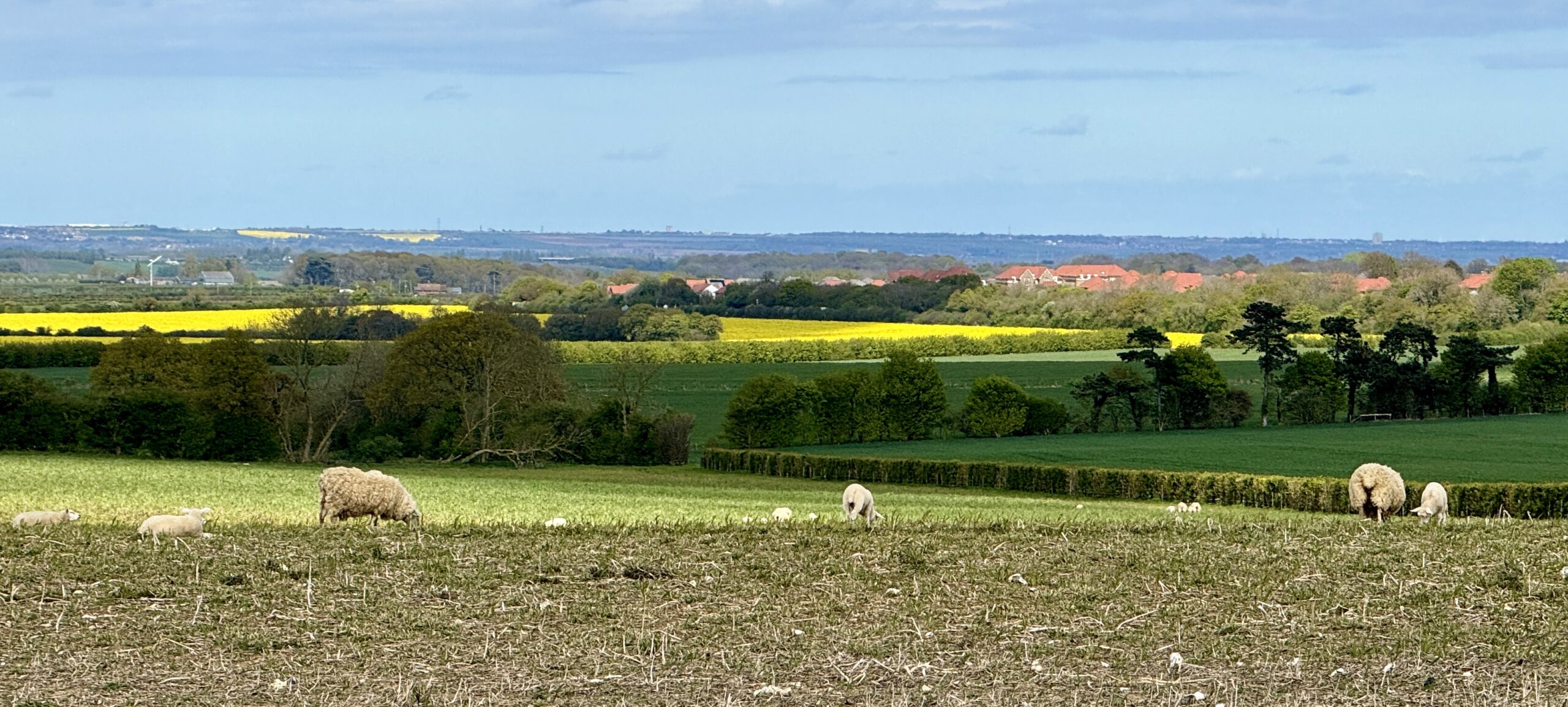
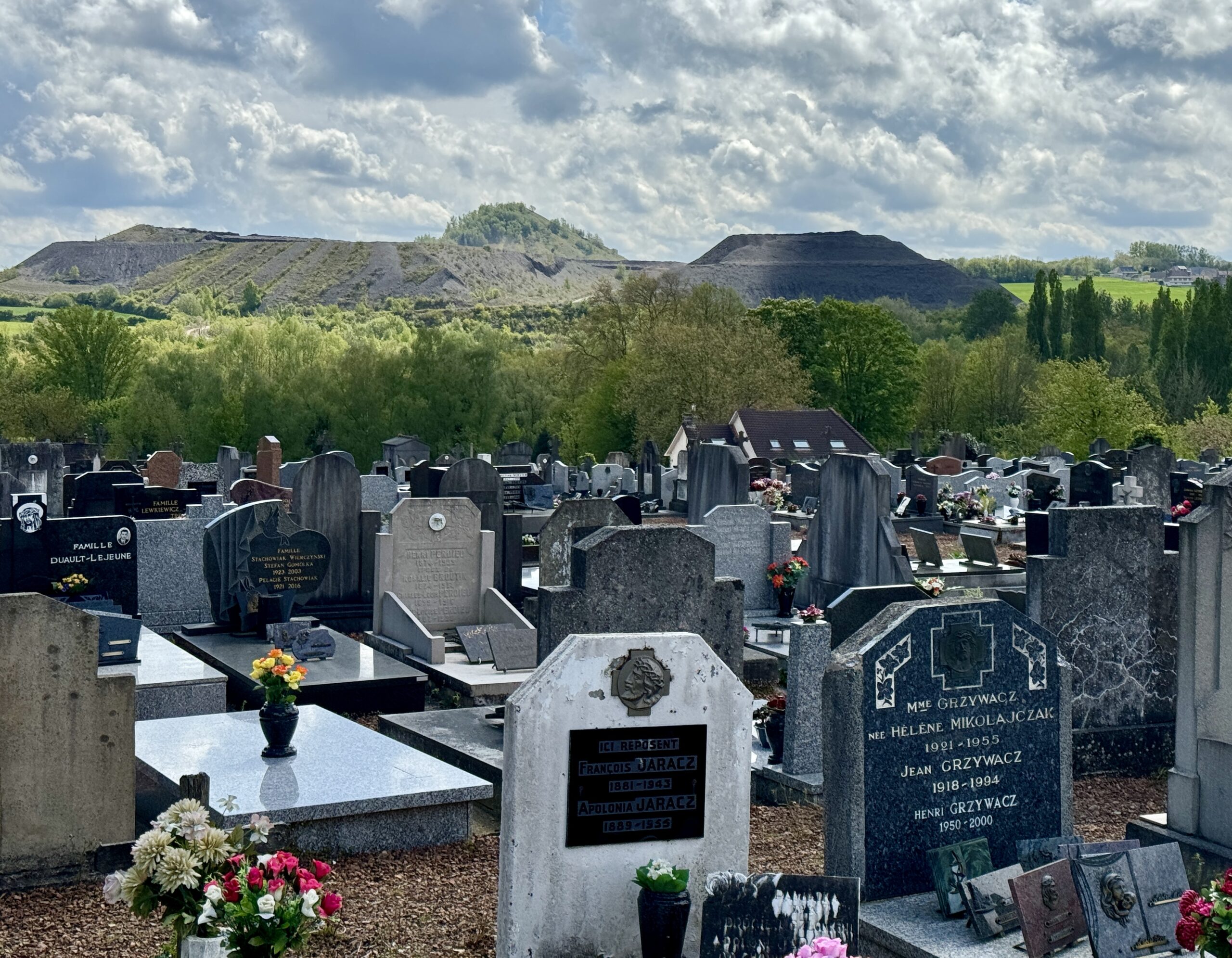
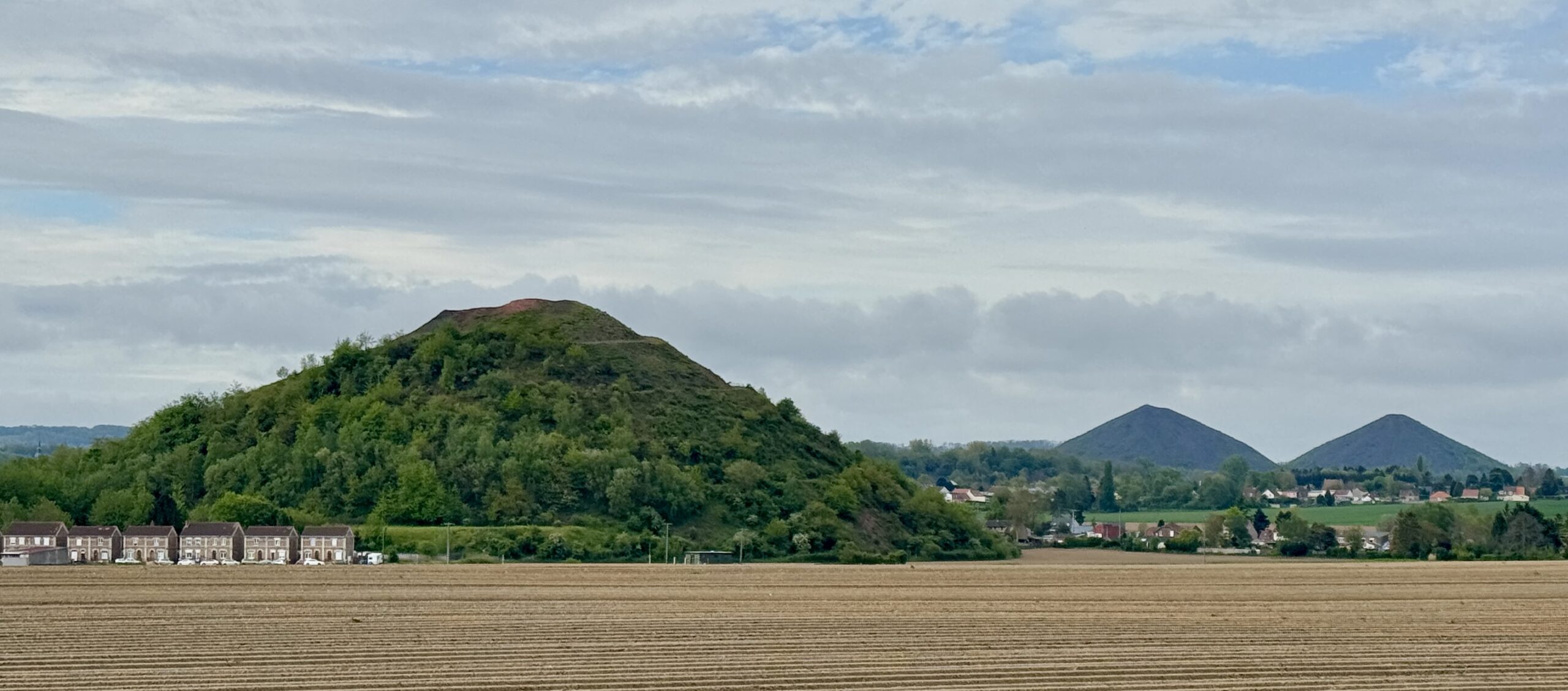
While the conditions have changed, not much else has. There are still a lot of fields, mostly wheat as well as some corn and beans. I also saw more evidence of the area’s mining history, including a particularly moving miners’ cemetery deliberately located within sight of a still-active mine. I know that farmers and teachers have been under-appreciated in my privileged life, but it was only when I lived in my Namibian home, the uranium-mining town of Arandis, that I began to understand how much modern humans rely on mineral extraction in our lives. It wasn’t always that way.
As the day progressed, the wind picked up and the empty blue skies started to yield the cloud formations I love so much. They provided a nice backdrop to the beautiful old buildings, including the churches (closed again). Since I post my photos in roughly chronological order, you can see how the clouds grew through the hours.
A highlight of the day was finding this tranquil spot on the trail to sit, drop my pack, and eat the bread and cheese I had been carrying since yesterday. A man who lives nearby approached me to chat for a few minutes. My high school French and his high school English hindered our conversation, but we both managed to get across how much we loved this marvelous Spring day.
A few minutes after he said goodbye and I returned to my lunch, he returned with this gift, and a “bonne journée.” I could have cried! Of course, I don’t have room in my little 30-liter pack for a full bottle of wine, but… I managed! 😉
I’m seeing more and more slag heaps from the local mines.
The Miners’ Cemetary at Marles-les-Mines.
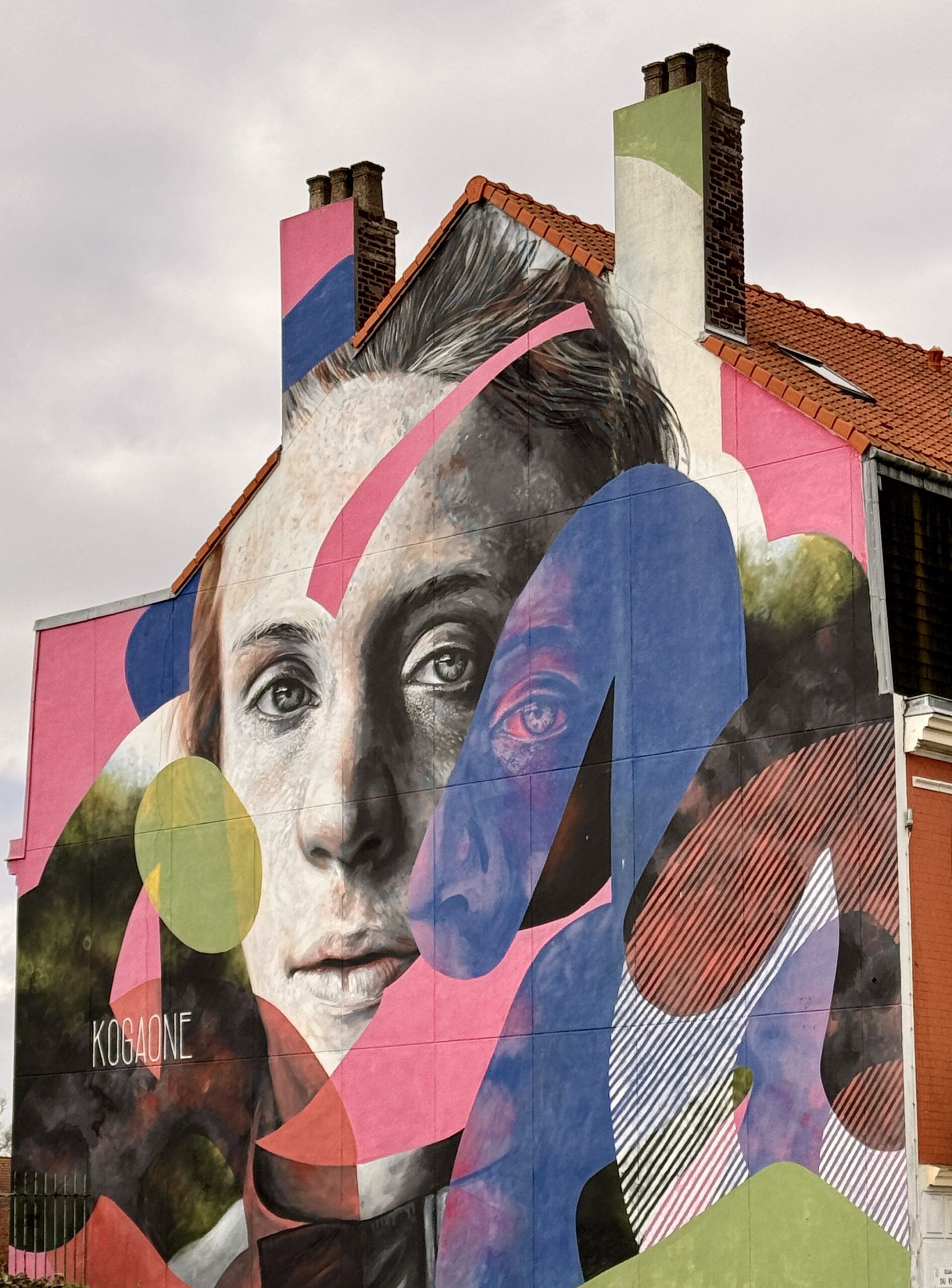
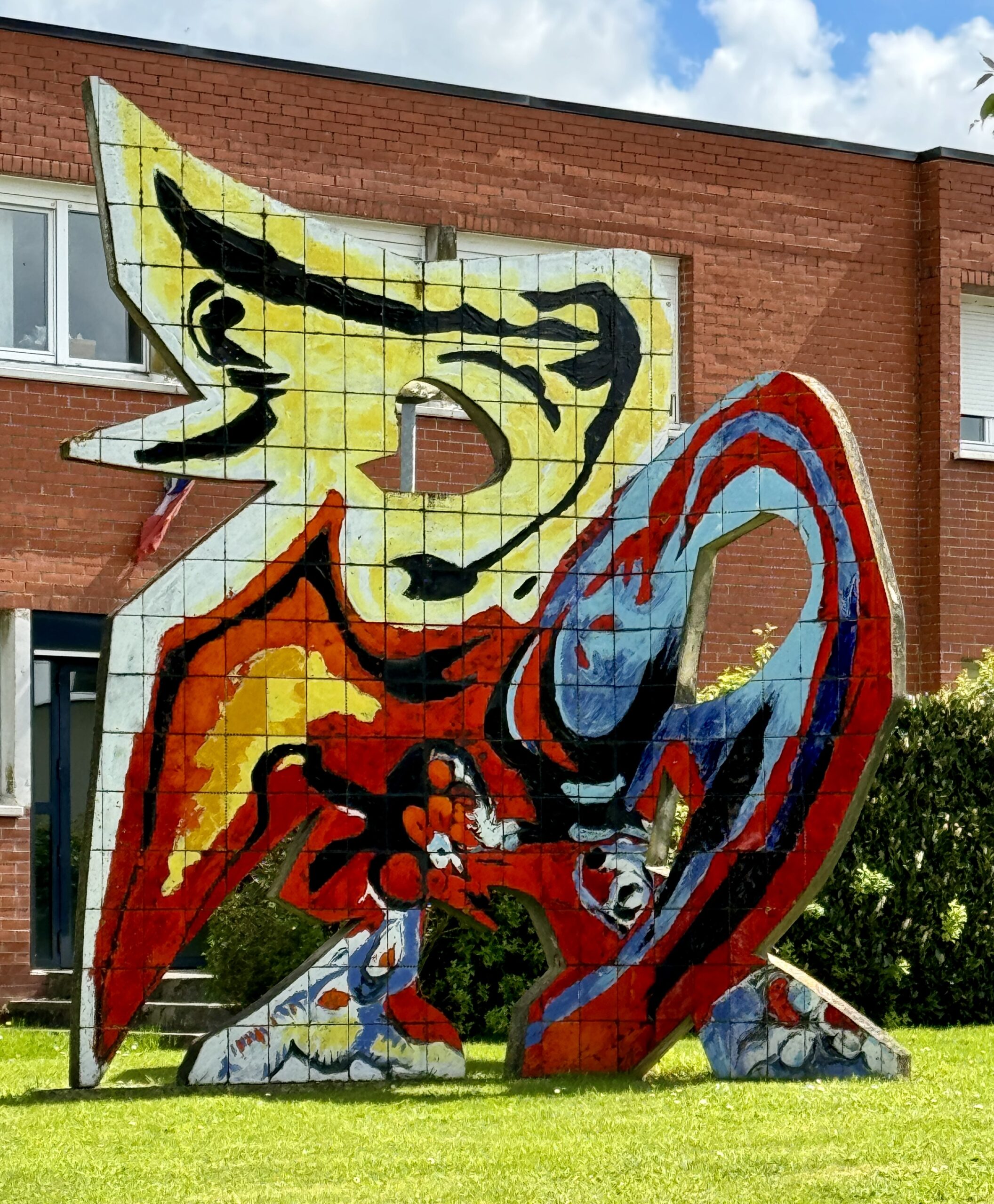
Public Art
The French love their cycling!
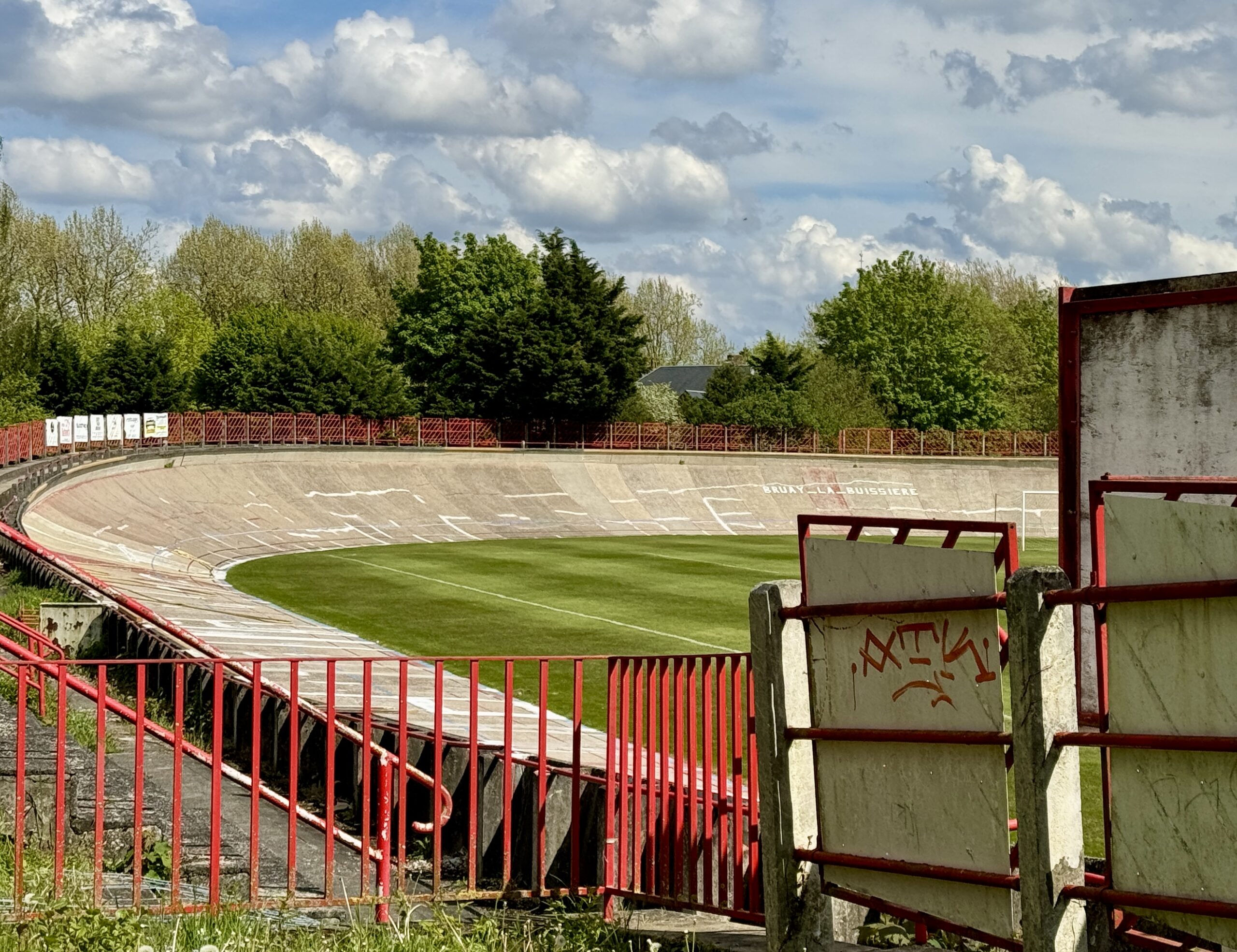
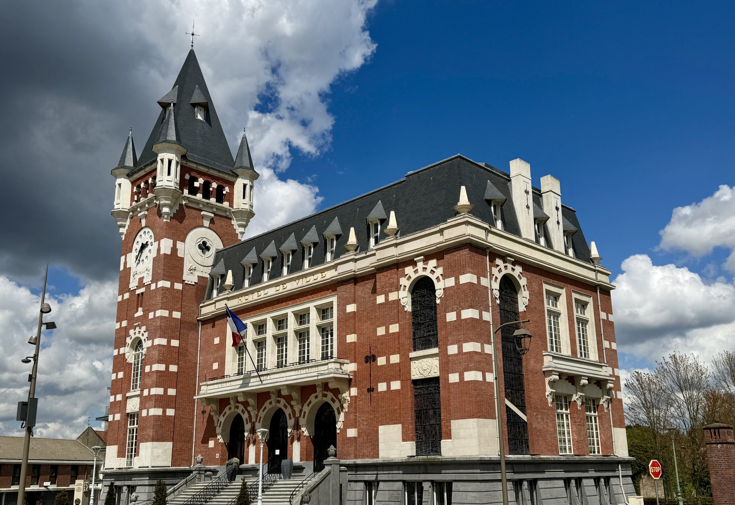
After several days out in the fields, my destination of Bruay-la-Buissière felt like a major metropolis!
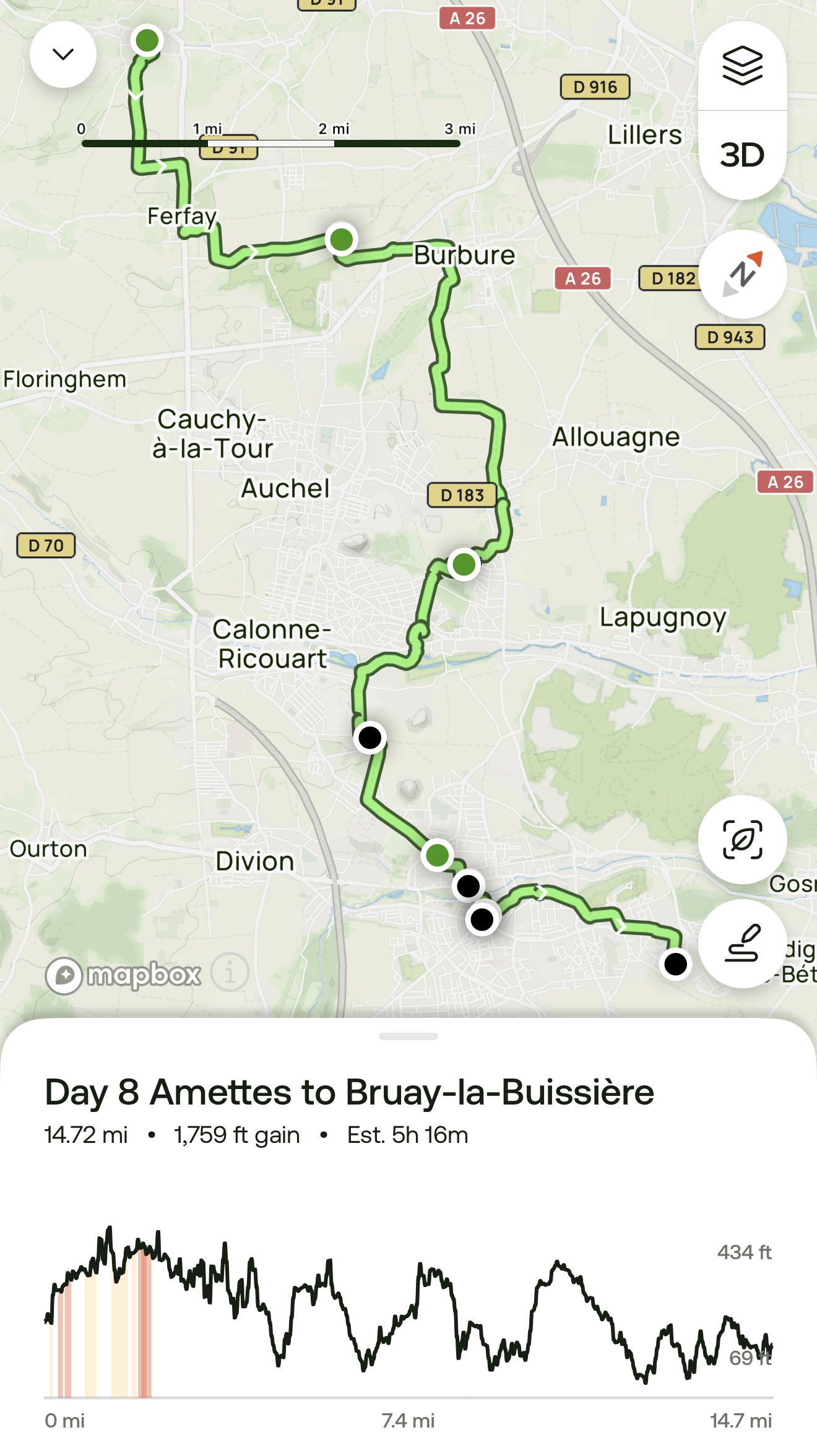
Day 8 AllTrails Stats
Distance: 23.7 km / 14.7 miles
Elevation Gain: 536 m / 1,759 feet
Steps: 35,973
Relive: https://www.relive.cc/view/v1vjdEndDY6
Accommodation: B&B Hotel Béthune, Bruay-la-Buissière
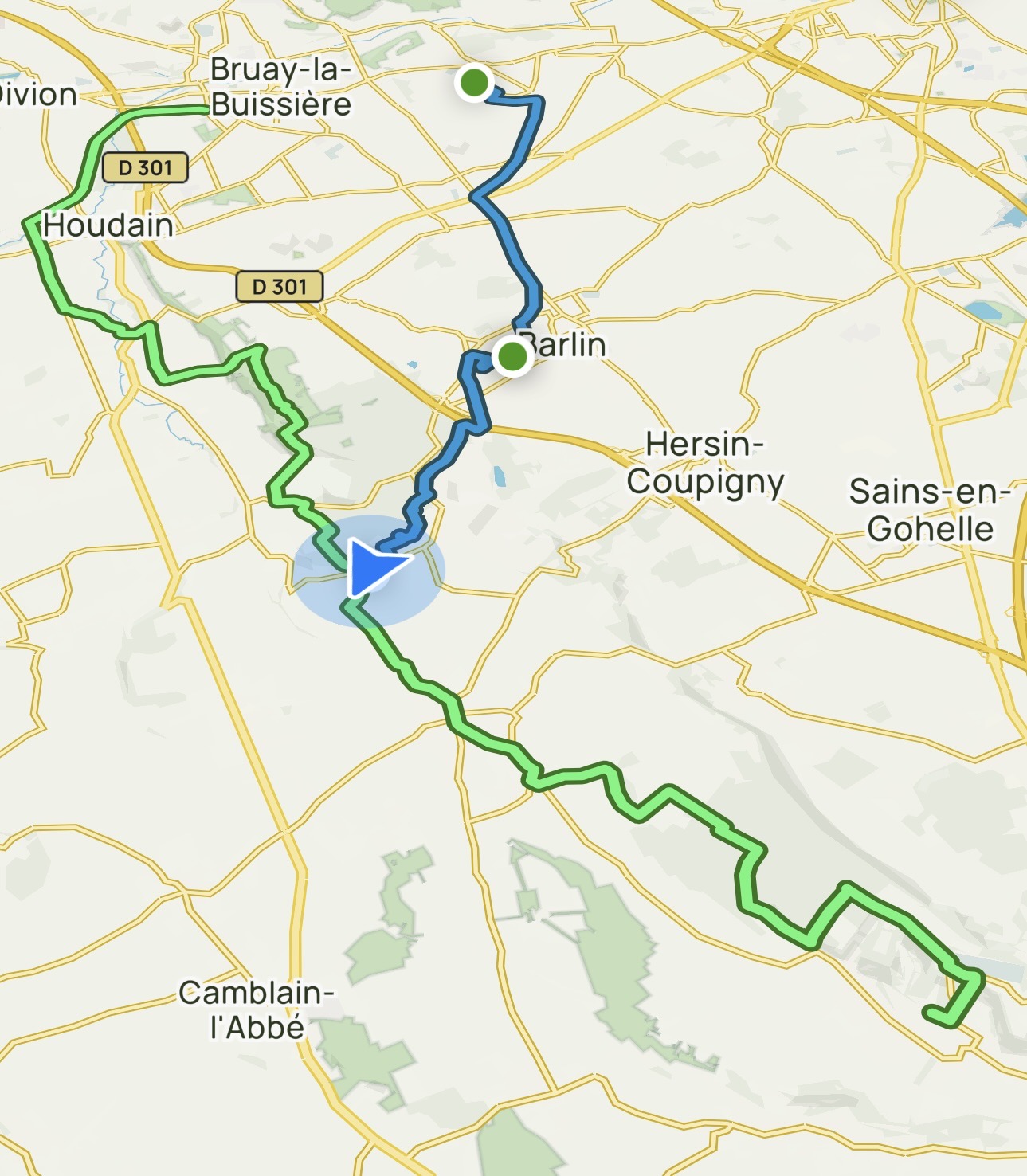
Day 9: Bruay-la-Buissière to Ablain-Saint-Nazaire
Today’s long route was made even longer by staying off the designated route for the first 2¾ hours (11.6 km / 7.2 miles), then missing a key turn and trying a “short cut” that proved increasingly treacherous. I ended up backtracking to get onto the right path and met a local hiking club to convert my solo journey into a fun group activity.
It was also an emotionally moving day as the VF now enters the part of France where so many people lost their lives in the two world wars. As I walk over the hills, ridges, and valleys, through silent woods and idyllic fields, it was hard to imagine the horrors experienced by so many. My thoughts of tribute were interrupted by a new pain at the instep of my left foot that has been building over the past couple of days. After 7 hours on the trail, and a delicious dinner at the private home of my hosts, I’m very happy to call it a night!
My hotel last night was a far distance off the Via, so I tried to save time and distance by making my own way through nearby woods, around slag heaps, and across more fields.
In each town and village it is common to see memorials to local residents lost in the Great War (WWI) and the Second World War (WWII). This was a mere introduction to the impressive memorial this afternoon.
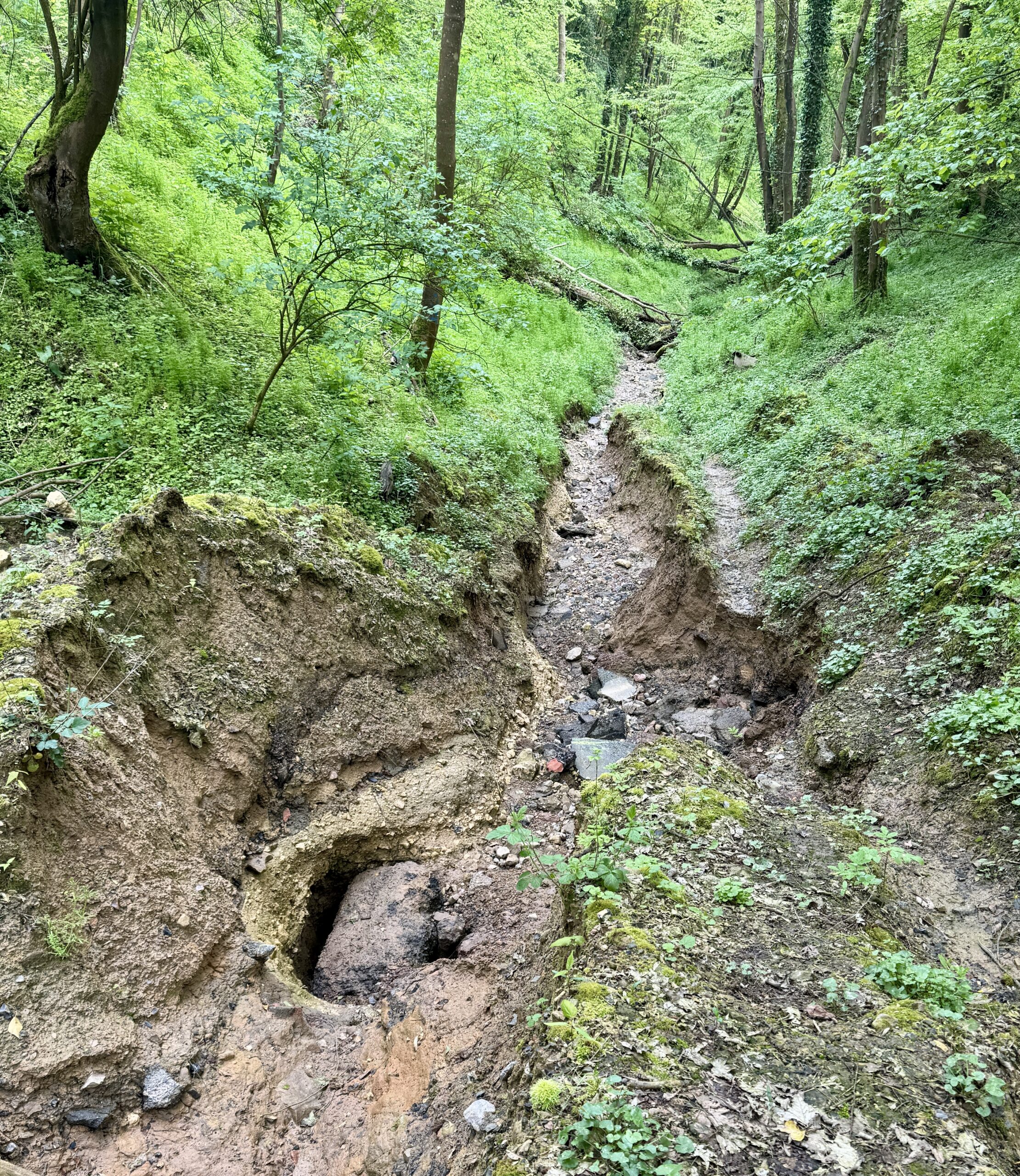
But first, I missed a turn to the left somewhere around here and continued down into those woods on the right…
I knew from my map that this gully would eventually reconnect with my desired trail in another couple of kilometers, so I forged ahead.
Unfortunately, the path became less and less secure, and my confidence faded.
This photo doesn’t do justice to how deep the trail had been washed out, so I decided to turn back and correct my mistake.
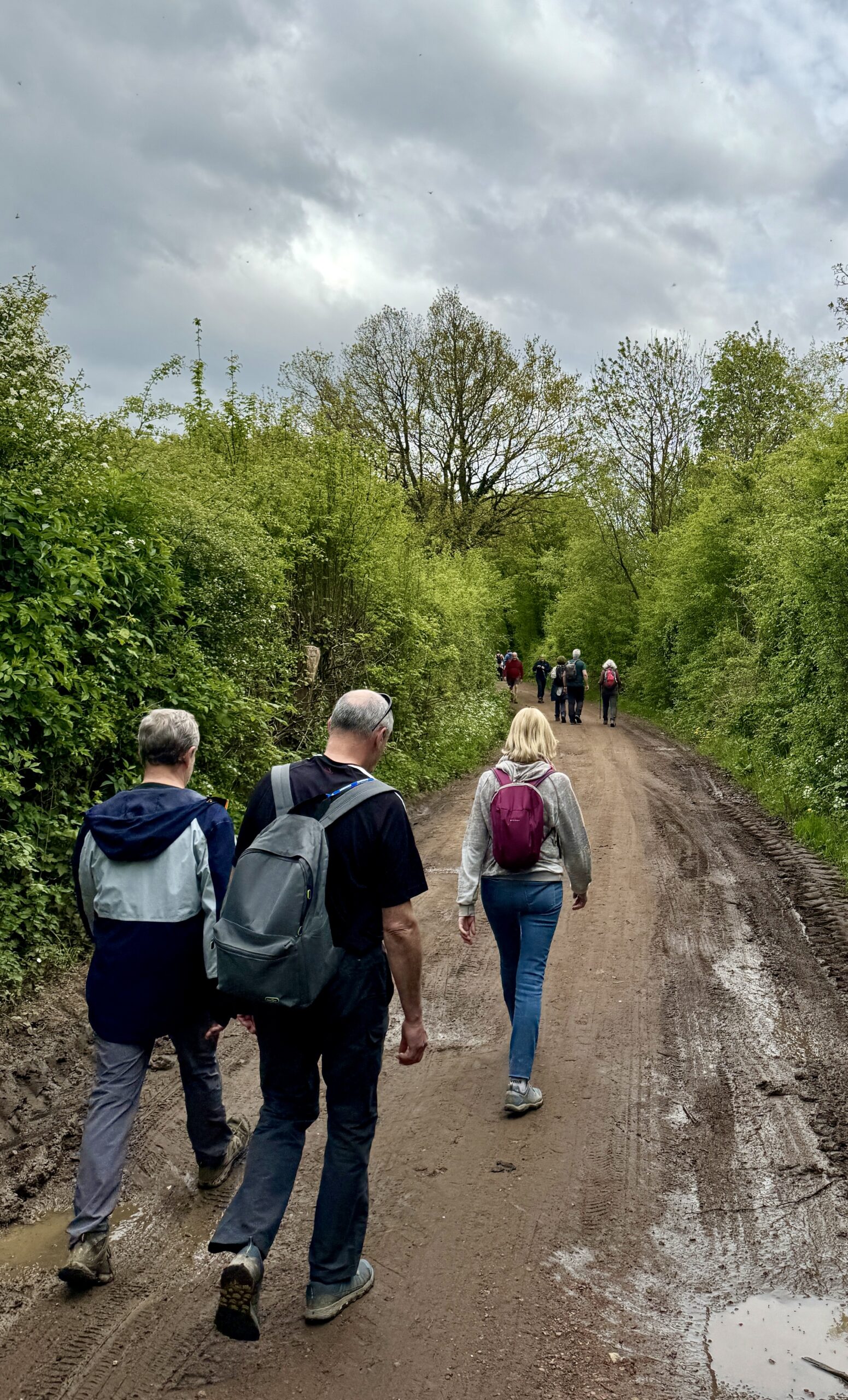
I am often heard to spout: “Pilgrims don’t walk backwards!” Yet, that has gotten be into jams more than spared me from them. At least this time, there was a reward for getting back on the proper trail. After hours, days, even weeks of hiking in isolation, it was startling to find my route “crowded” with members of a local hiking club enjoying their monthly get-together. Tomorrow is May Day, aka International Workers’ Day, a big holiday in much of the world, and this friendly group got a head start on the celebration. It was a lot of fun to walk and talk with them. I had missed camigos for so long!
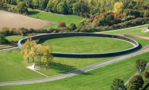
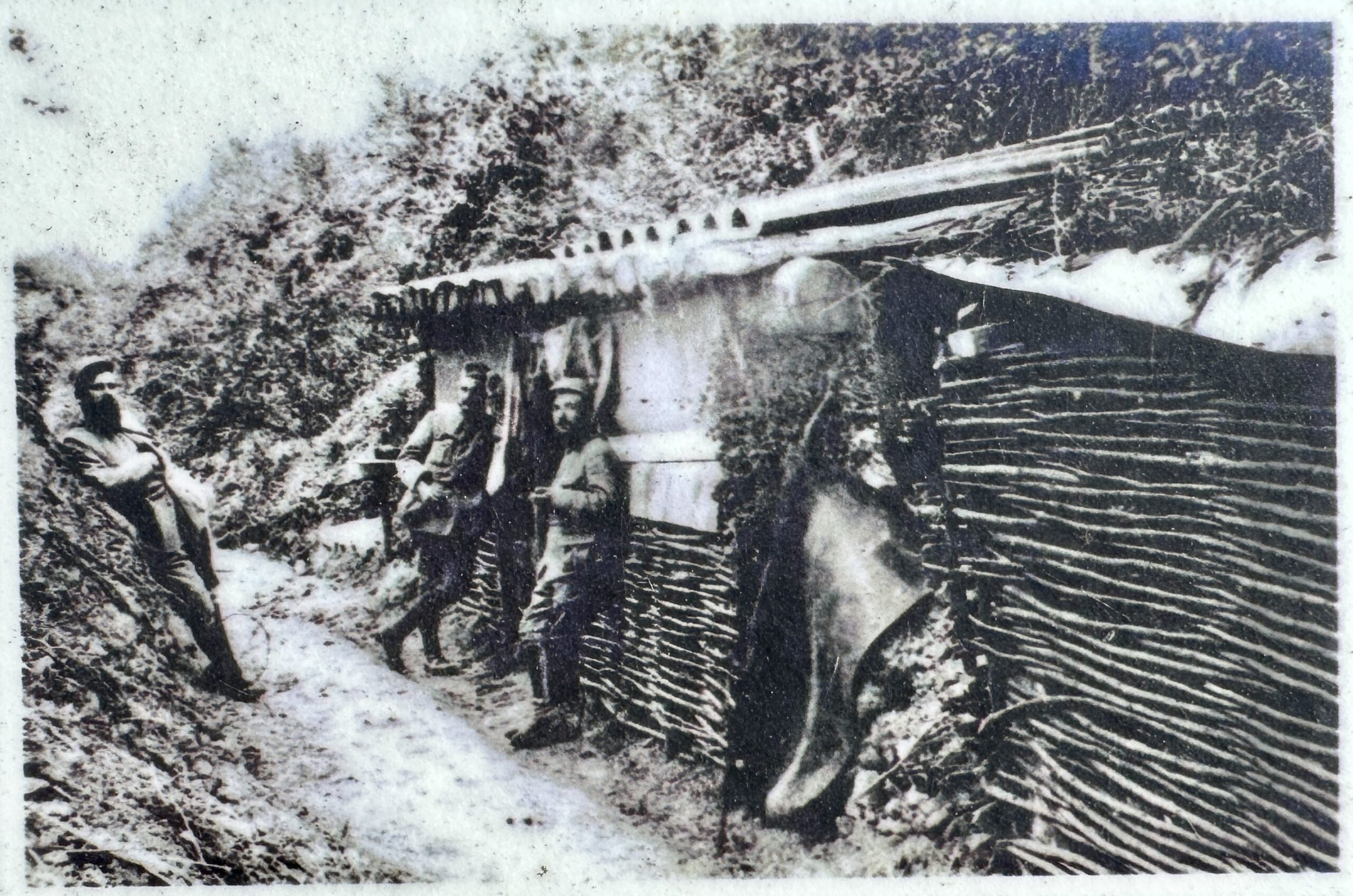
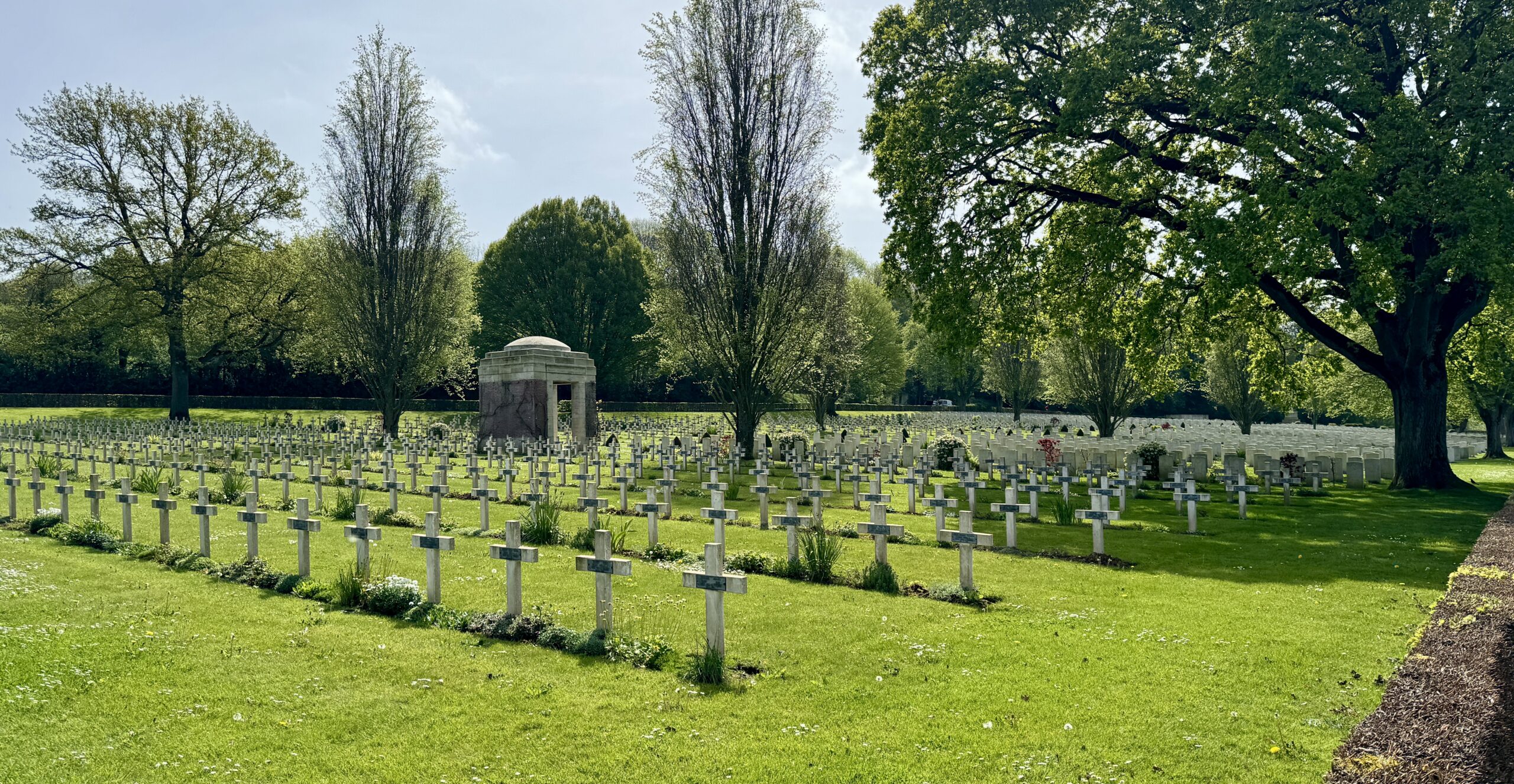
I split from the group when we arrived to the largest French war cemetery in France, where 40,000 soldiers are buried: Notre Dame de Lorette.
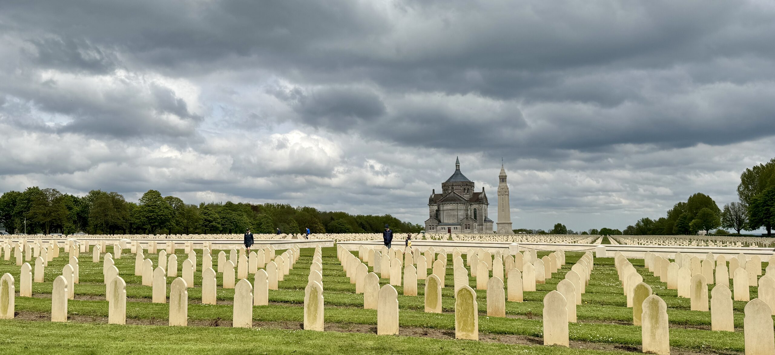
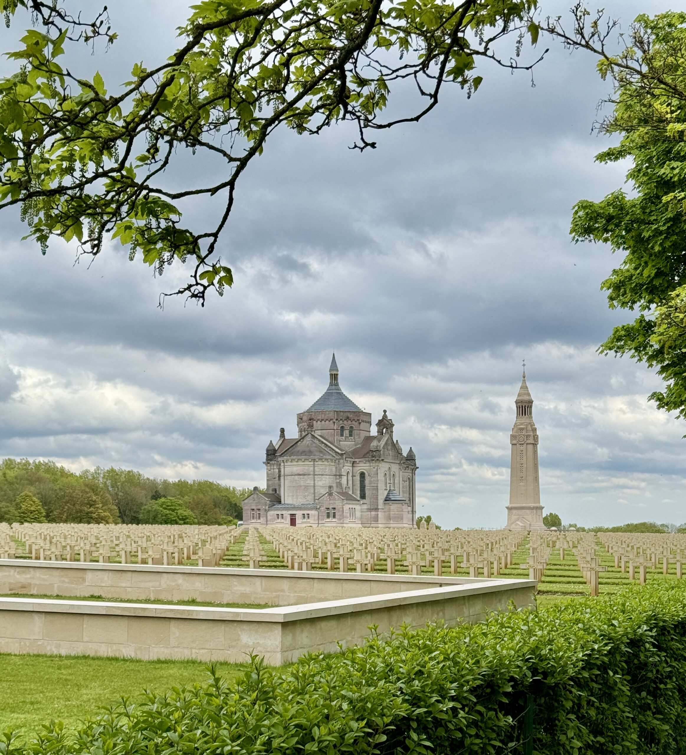
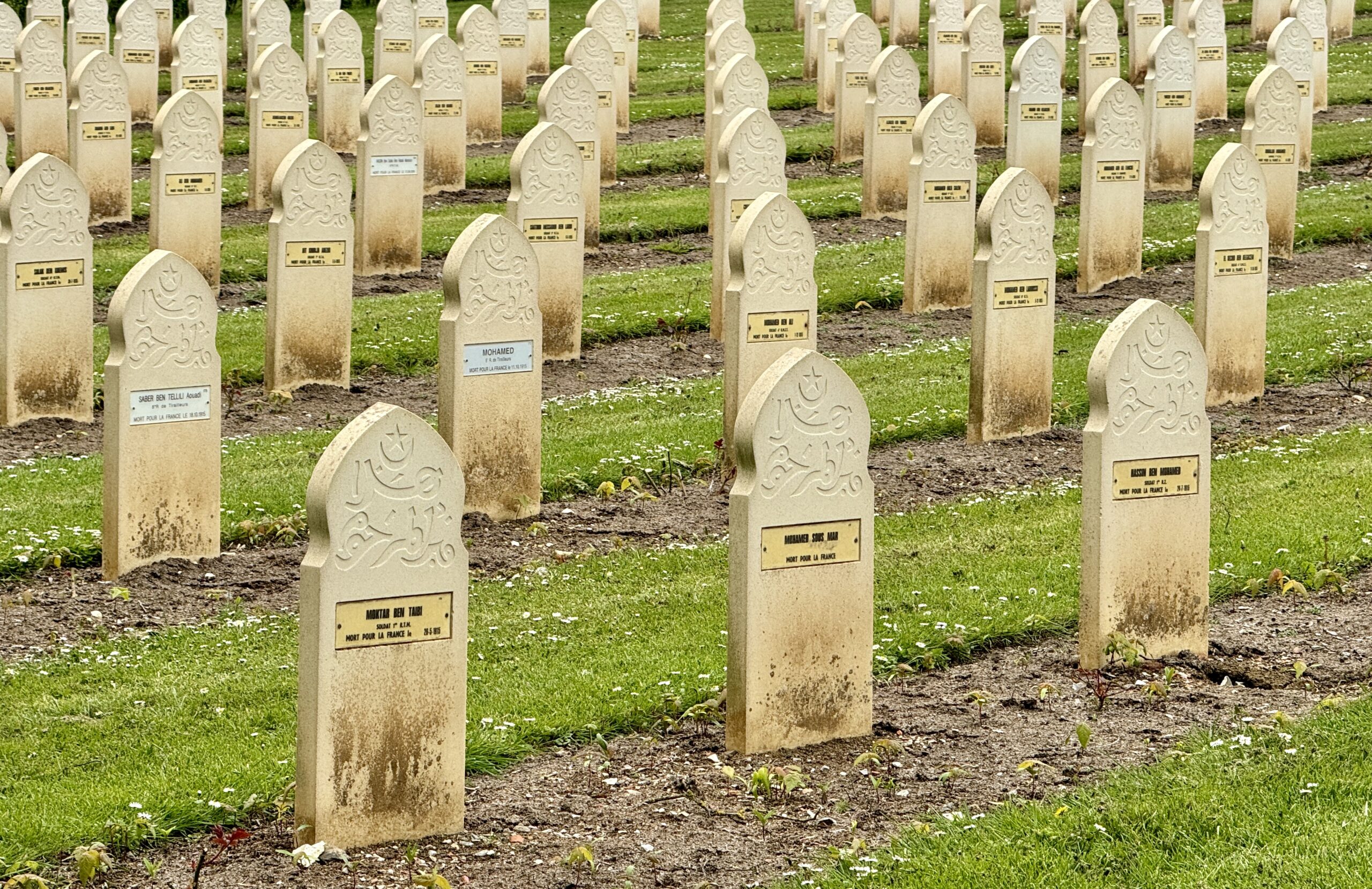
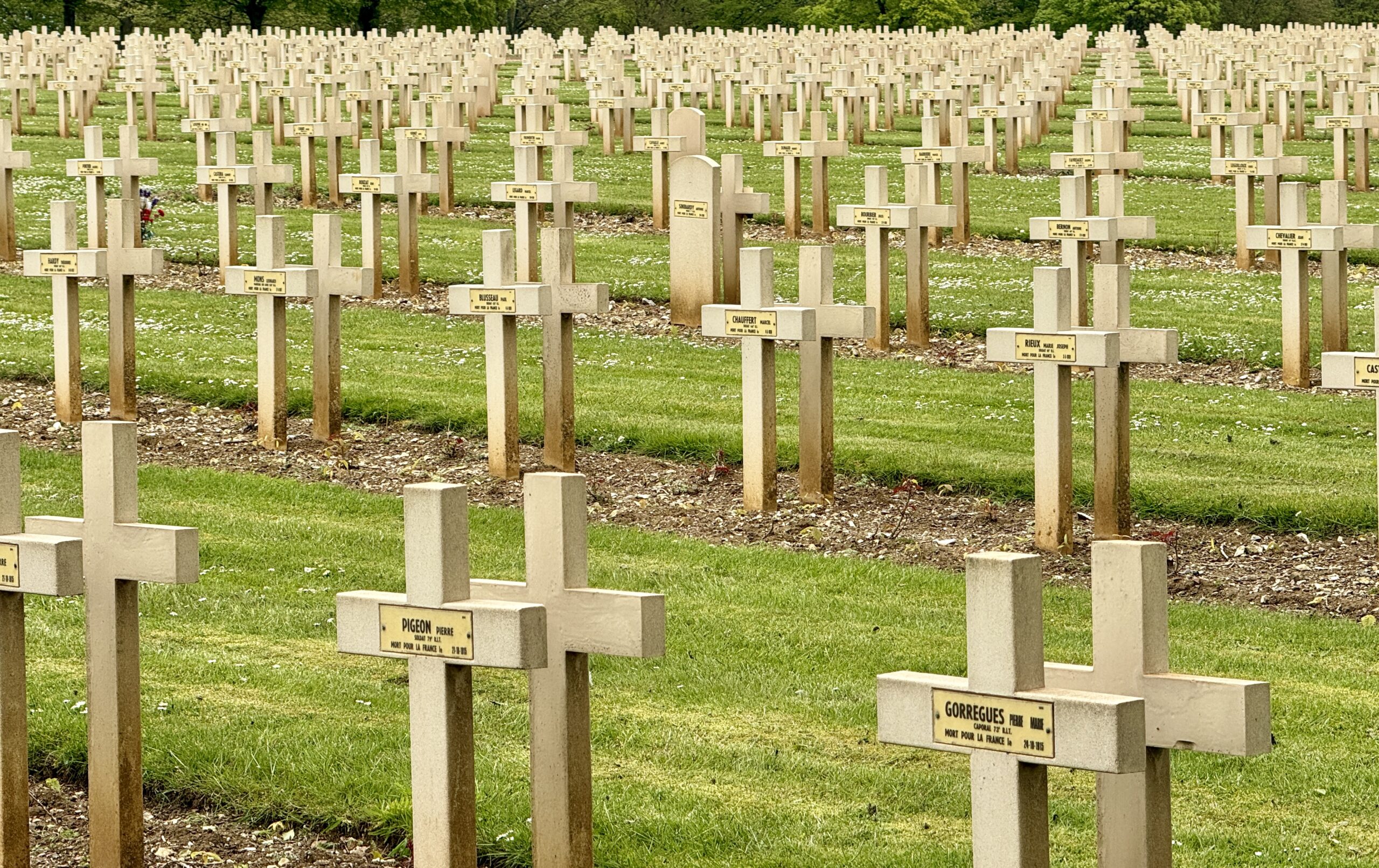
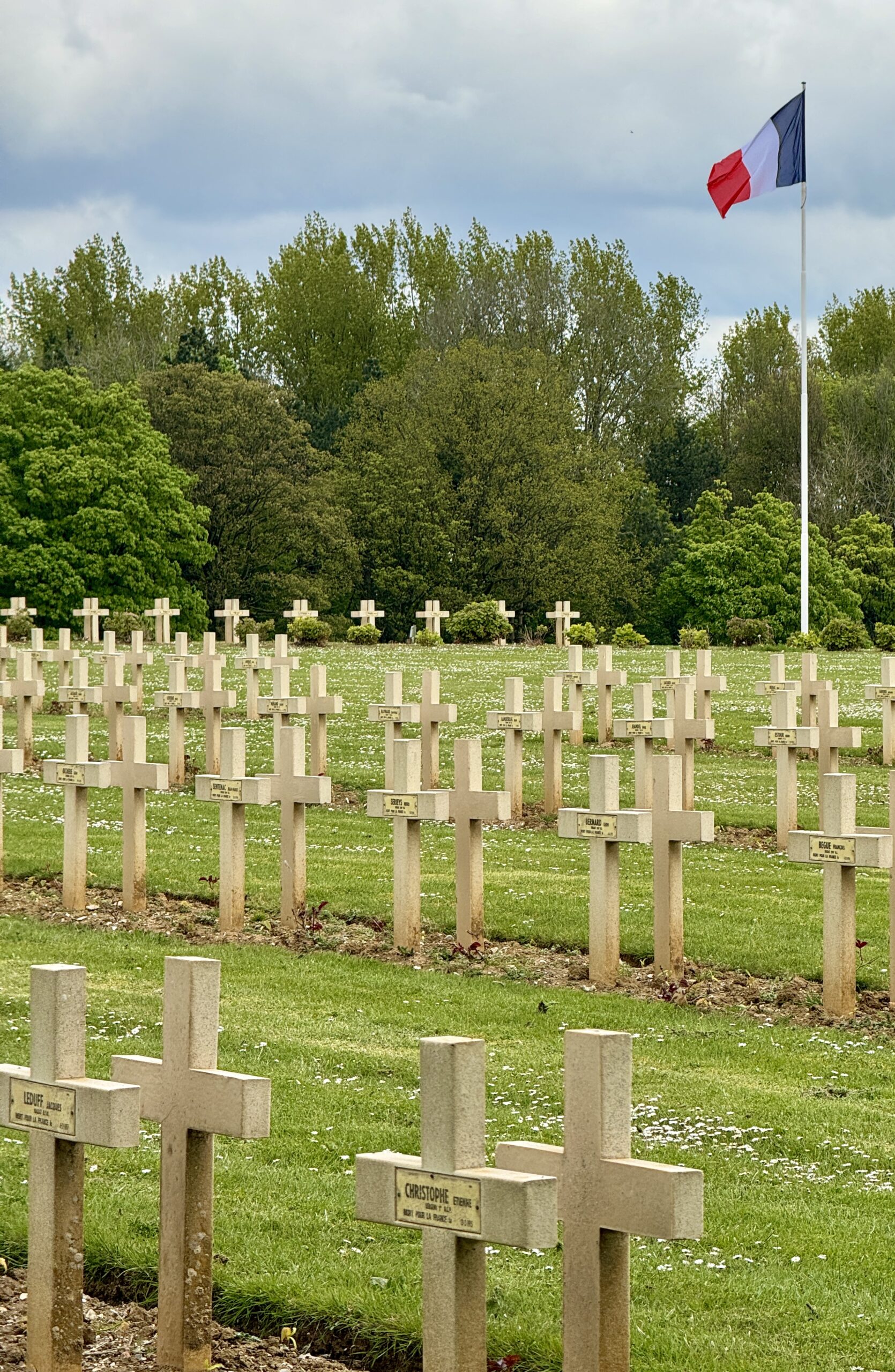
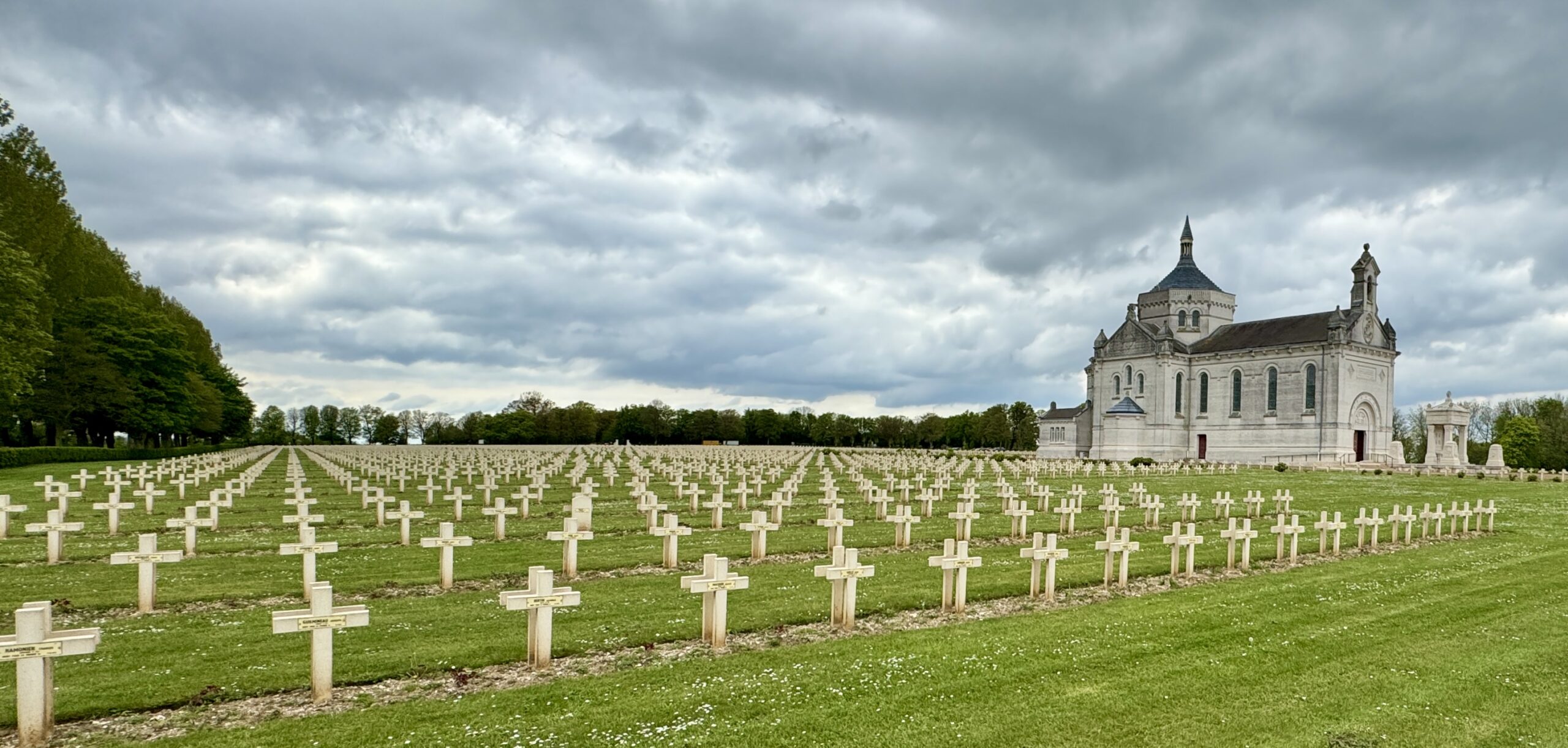
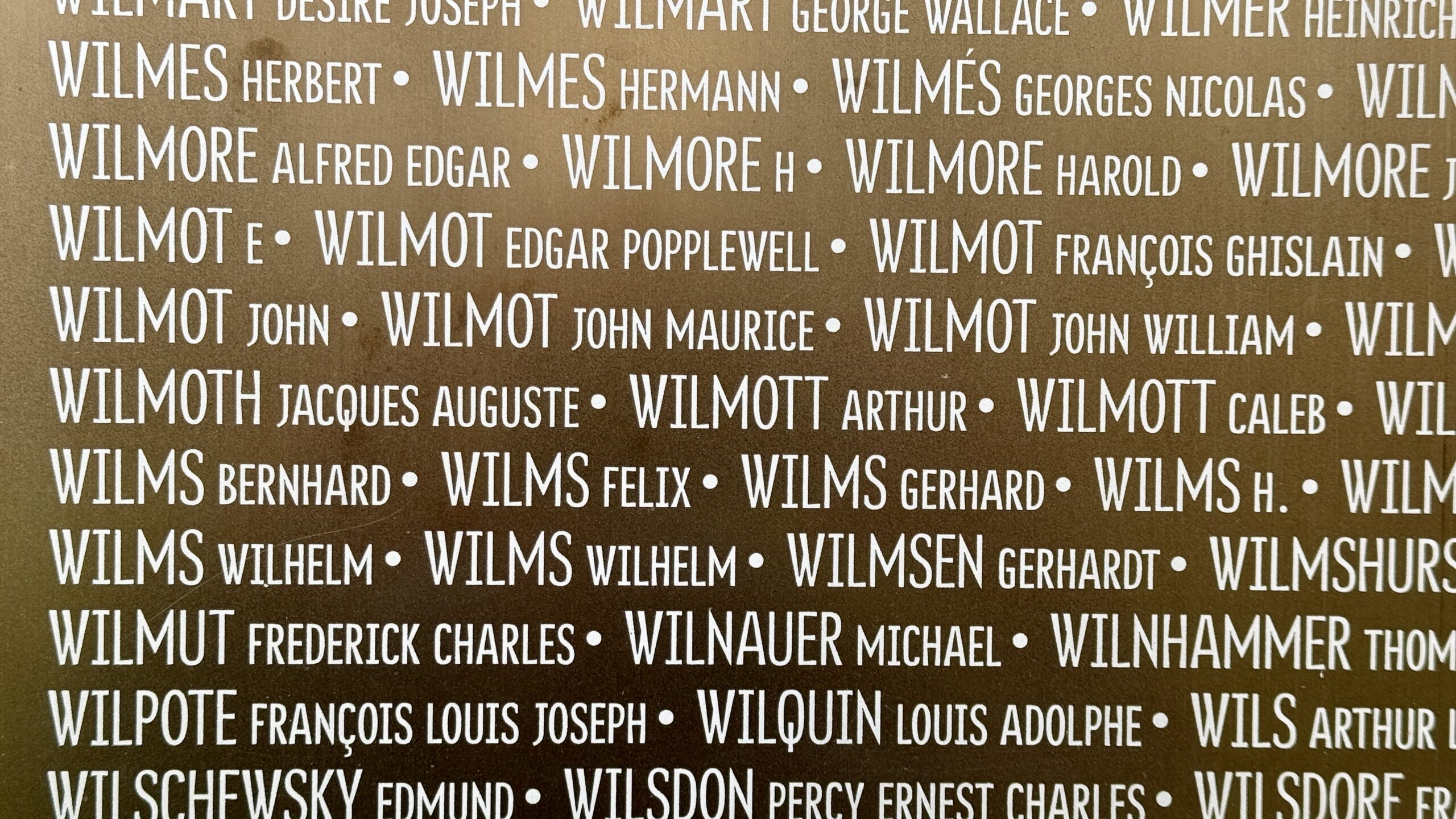
Also on this hilltop is the beautiful memorial to all the men and women who lost their lives in the northwest of the country between 1914 and 1918, regardless of which “side” they were on. Called The Ring of Remembrance, 580,000 names are listed in alphabetical order without any distinction made between rank or nationality. Former enemies and friends, side by side.
294,000 soldiers from the British Empire. 174,000 Germans buried in France but excluding several tens of thousands who went missing. 106,000 “soldiers who died for France, including the Foreign Legion.” Plus thousands more from elsewhere around the world.
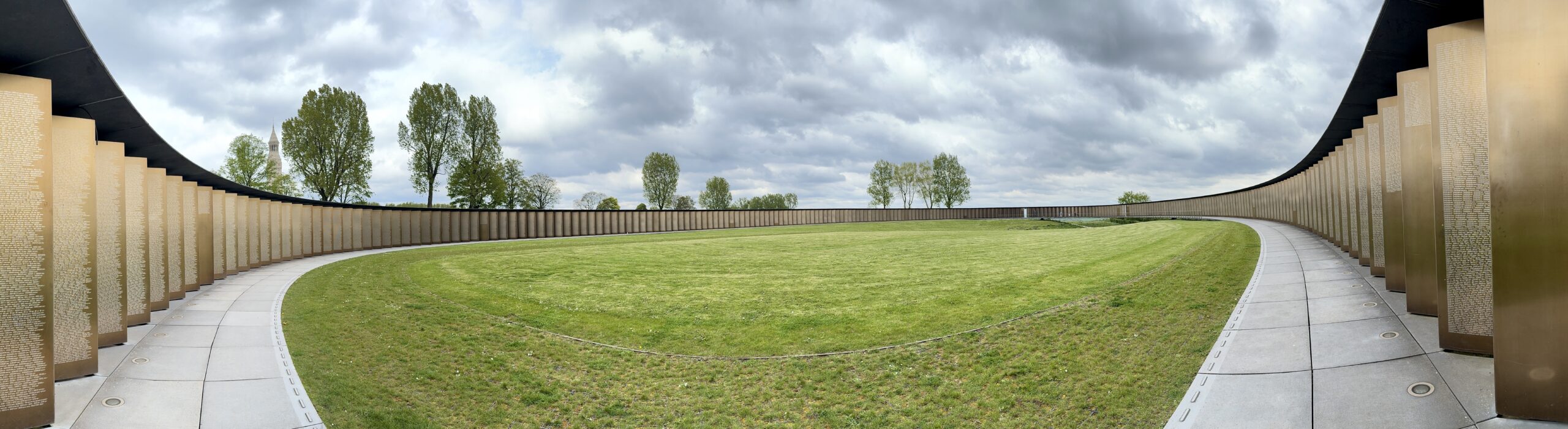
What does it take to write 580,000 names? Here is just one panel.
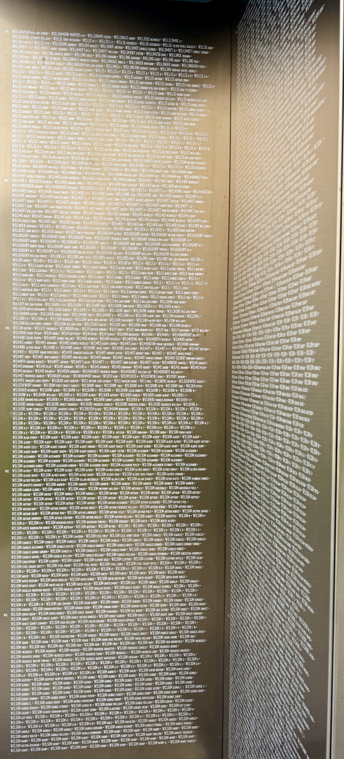
Are we related? It brought chills to my spine.
When the rain began to fall, I descended the hill into my destination village, Ablain-Saint-Nazaire, and met a friend along the way.
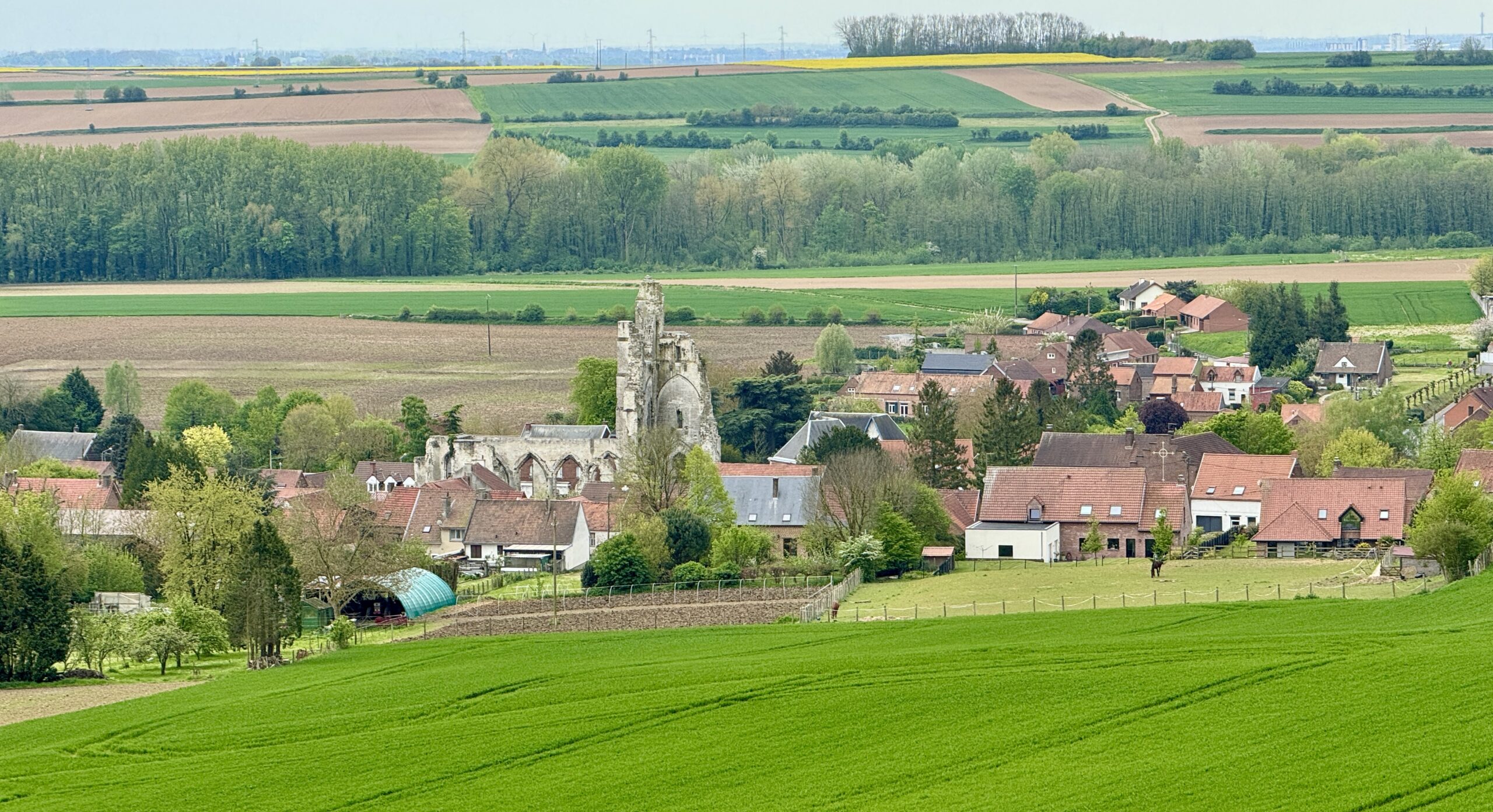
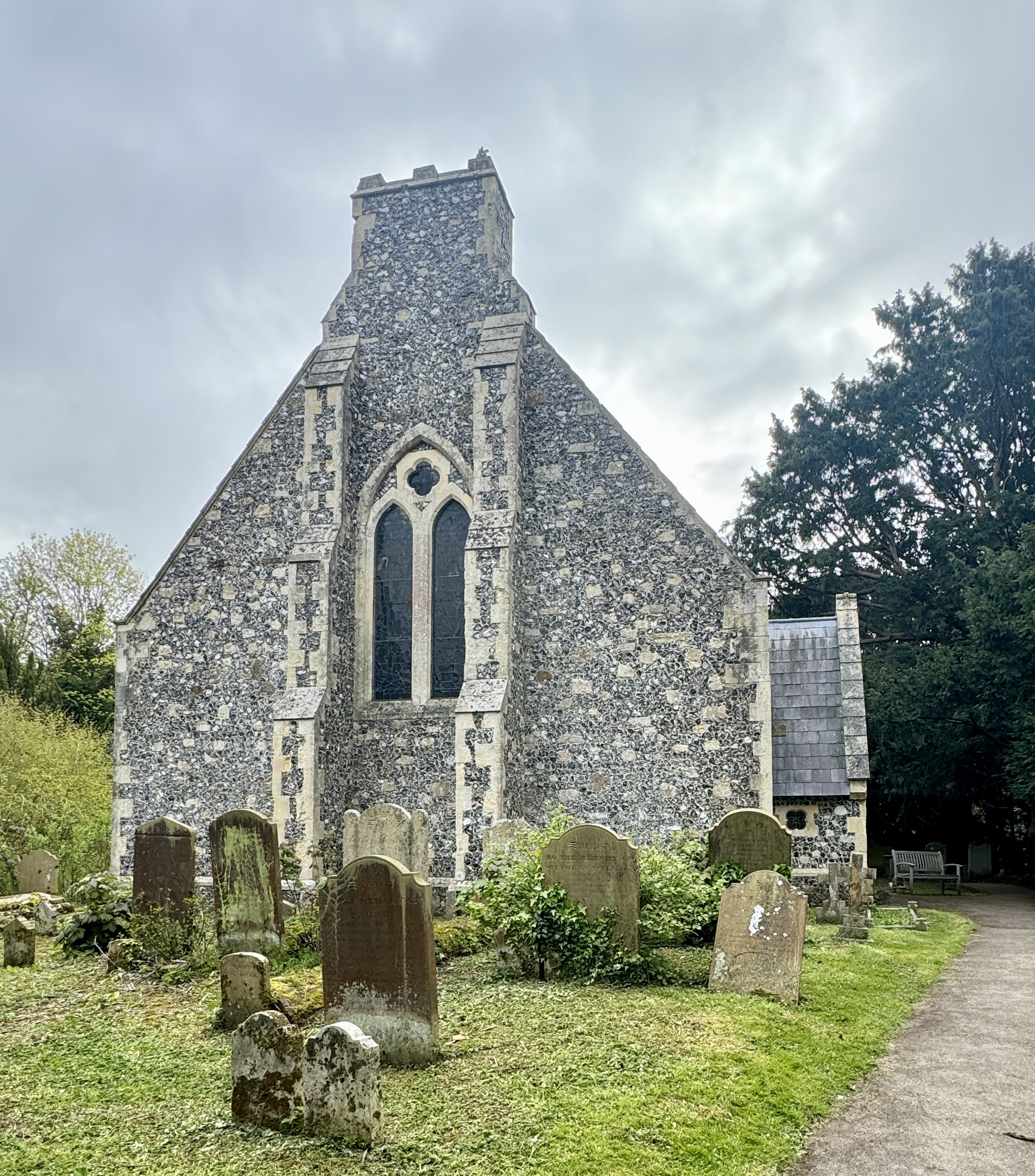
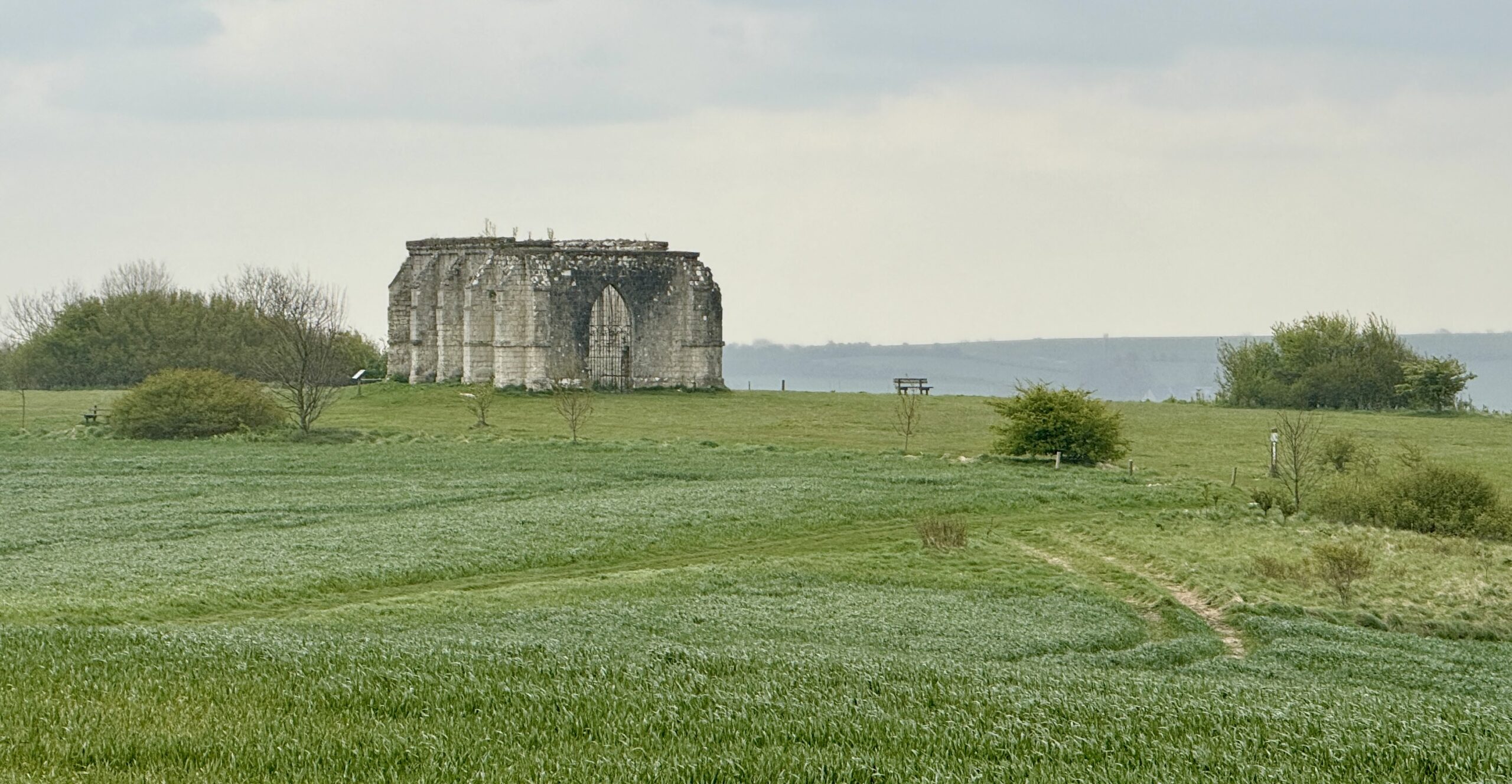
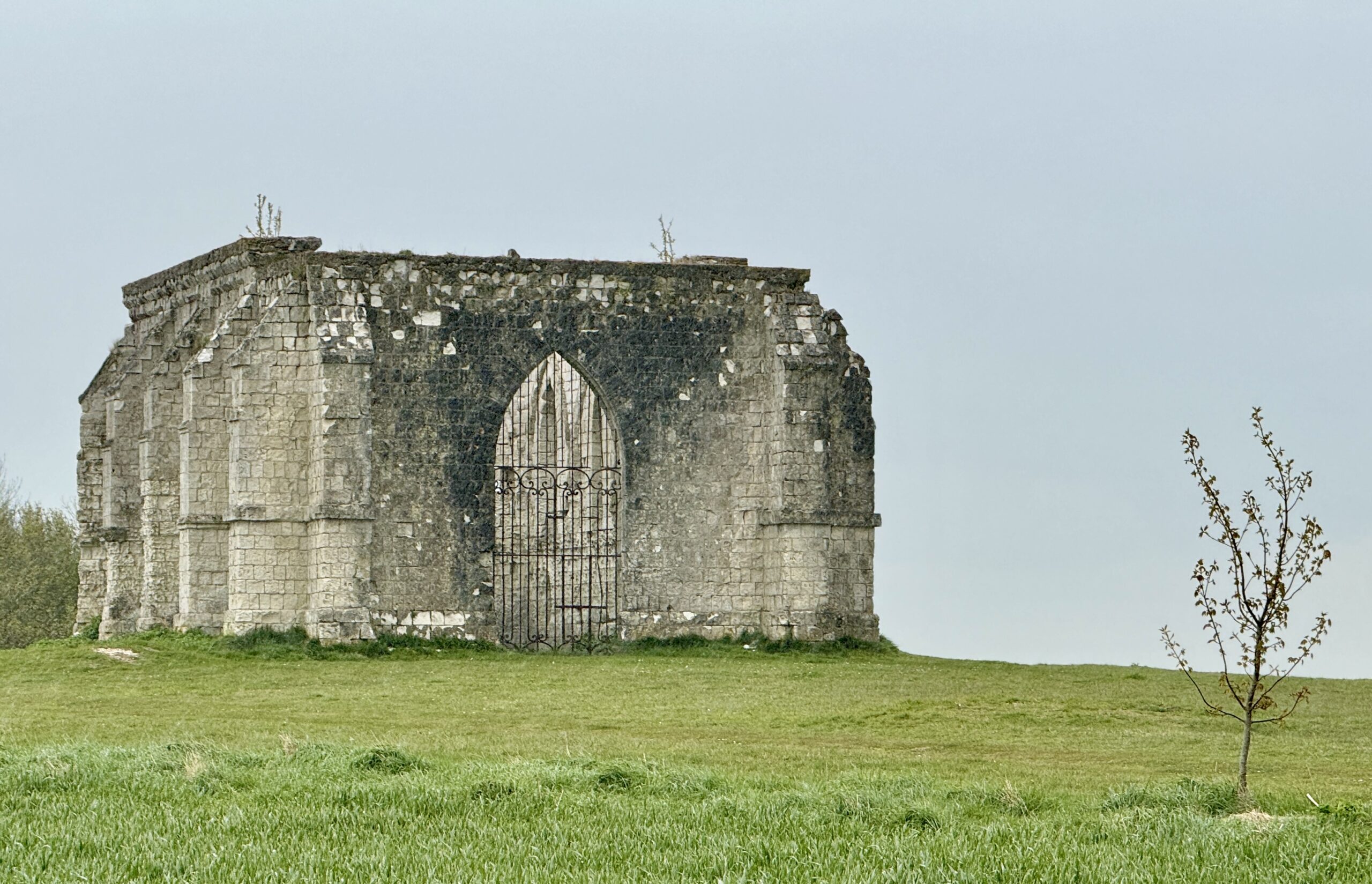
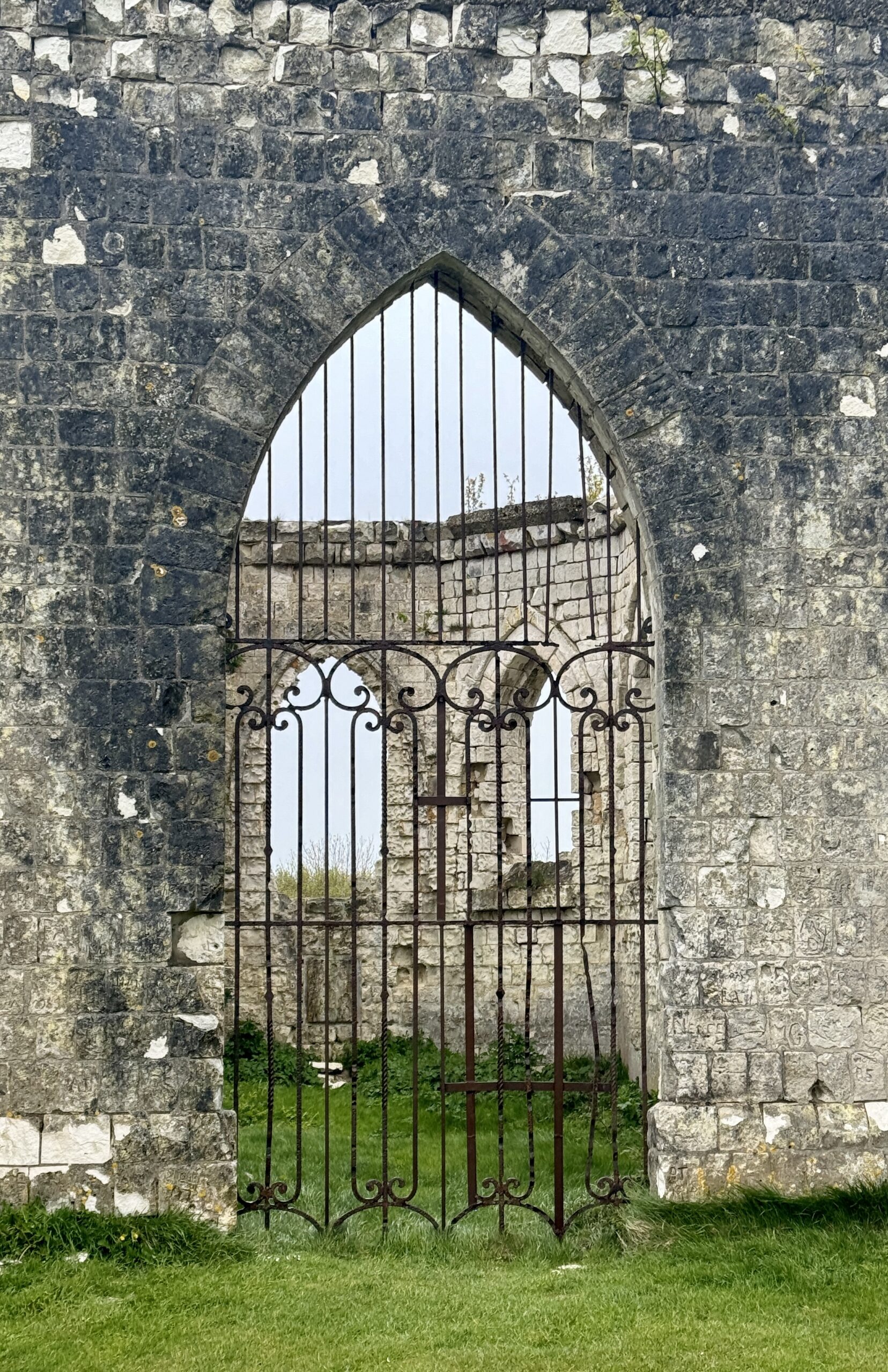
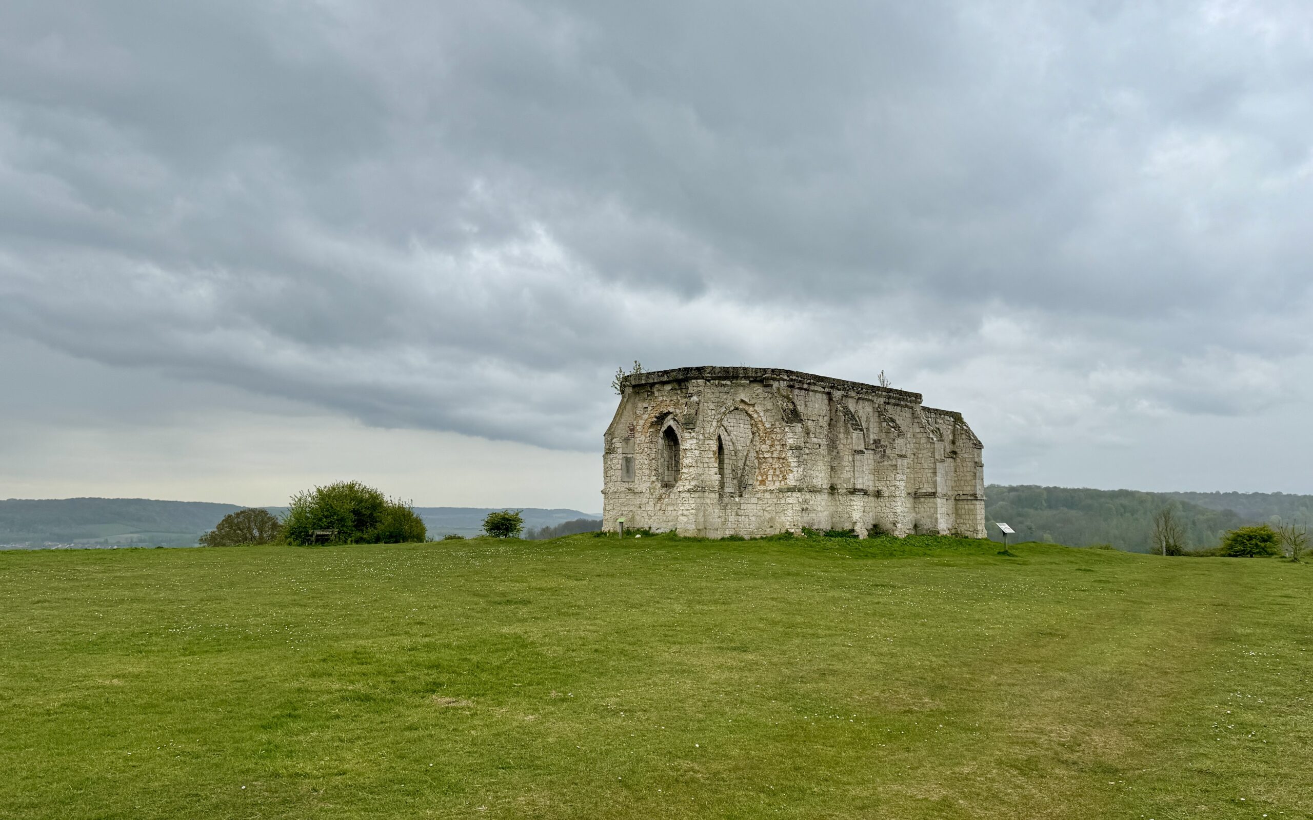
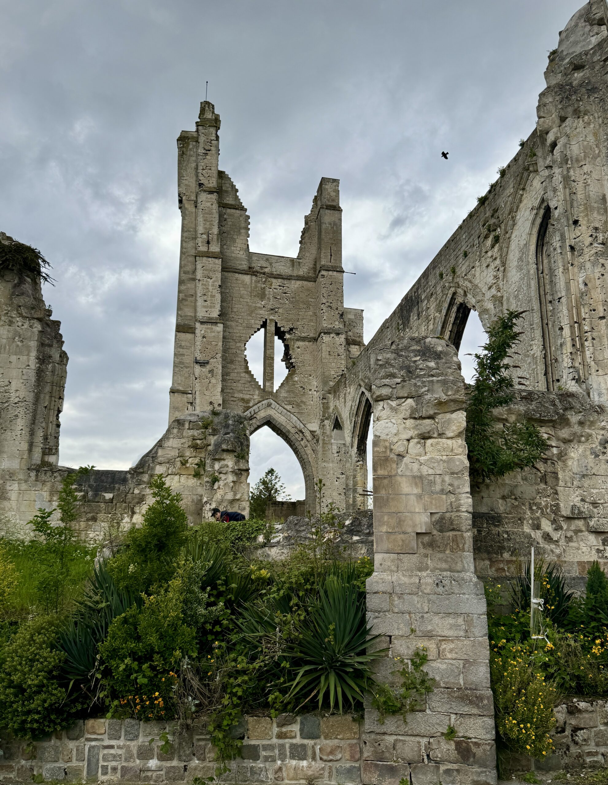
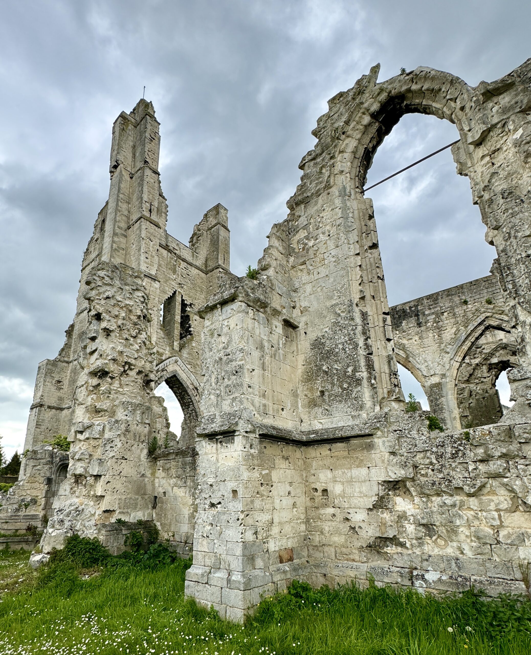
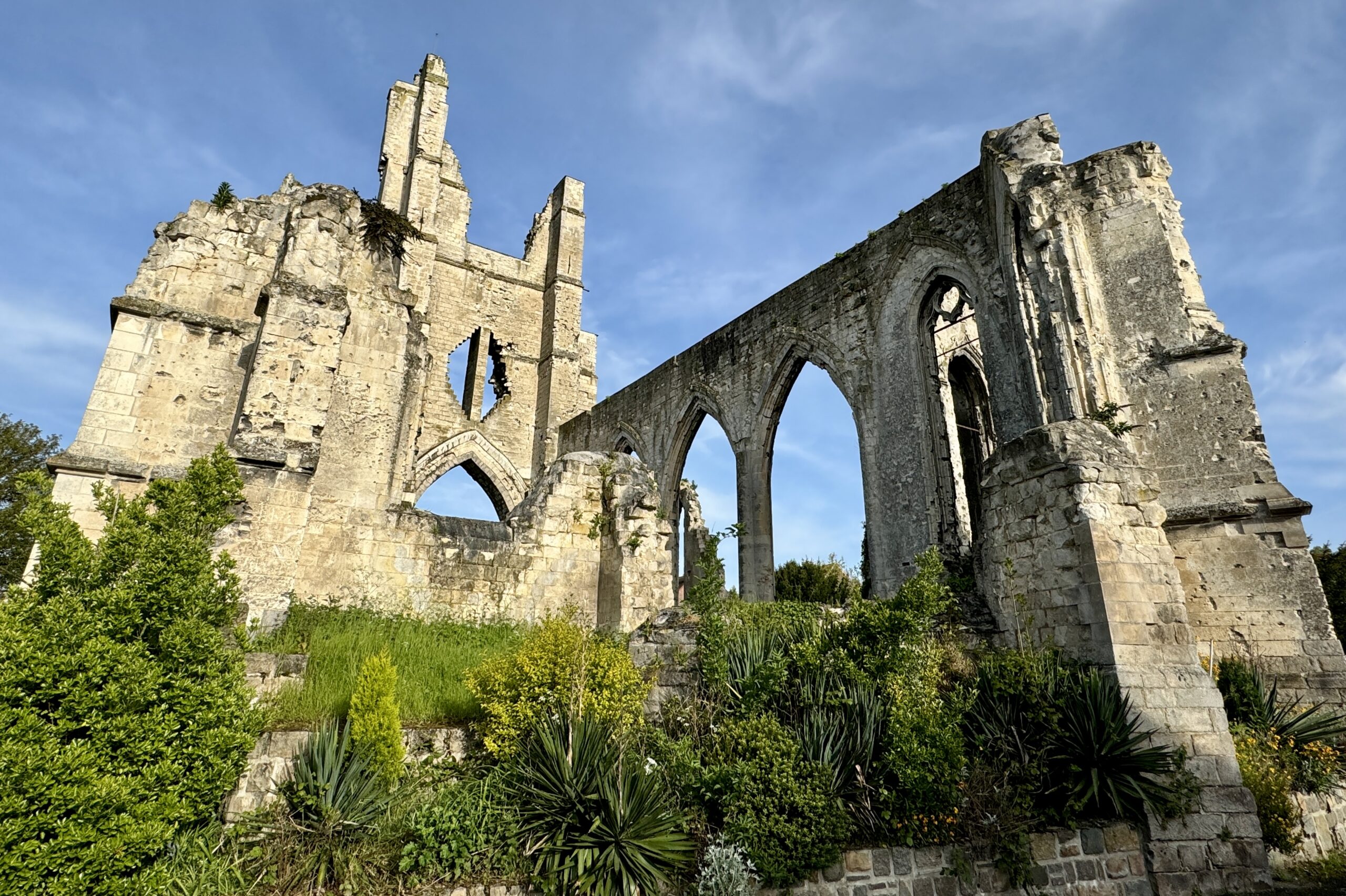
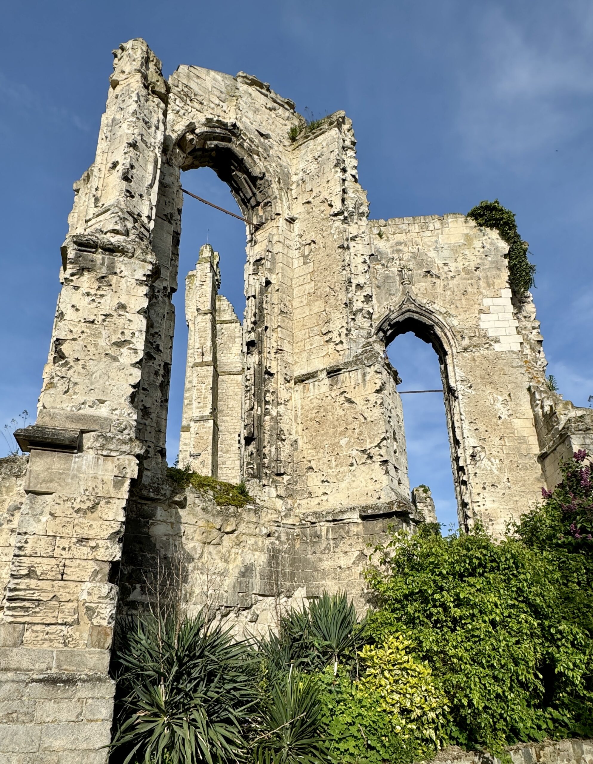
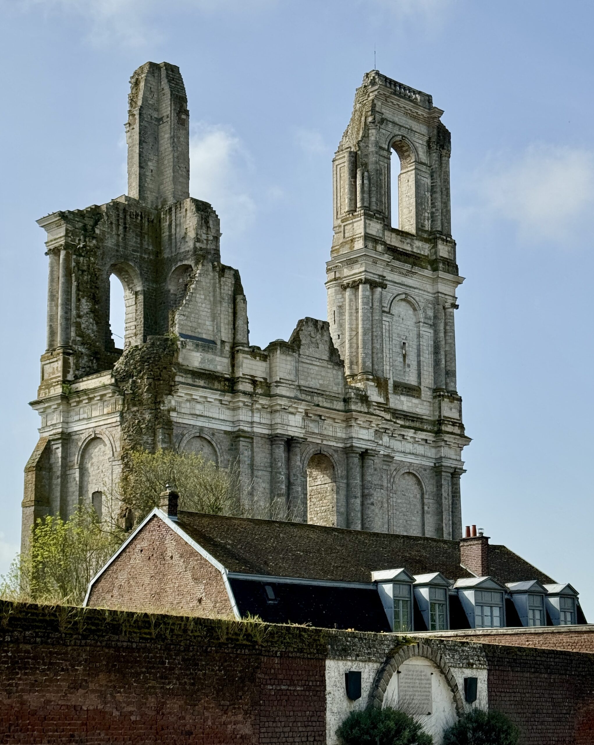
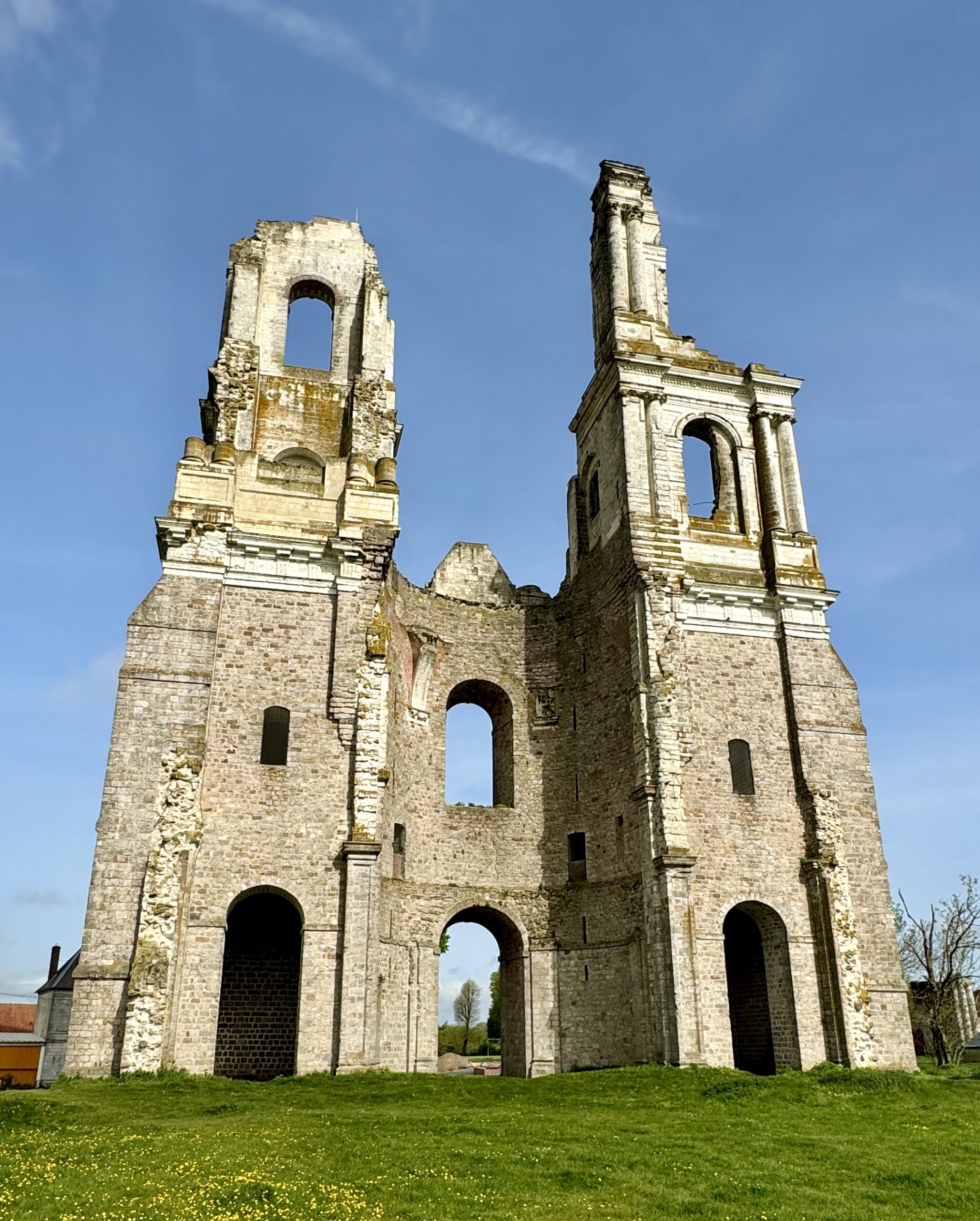
Before checking into my pilgrims’ accommodation (a room in a private home), I visited the ruins of “The Old Church of Ablain-Saint-Nazaire,” built in 1505. I was able to get some shots this afternoon and tomorrow morning in better light. A signboard explained:
The village itself was unhappily situated on the front of World War I and taken into the German fighting-lines as early as October 1914. The Germans transformed the village into a real fortress before the French General Foch launched the attack aimed to liberate Arras. During the fights of Spring 1915, the village was entirely destroyed and the church was left in ruins.
The French Council for Historic Buildings decided in 1923 to leave the church in ruin, with the purpose of setting a symbolic sign against war’s abominations.
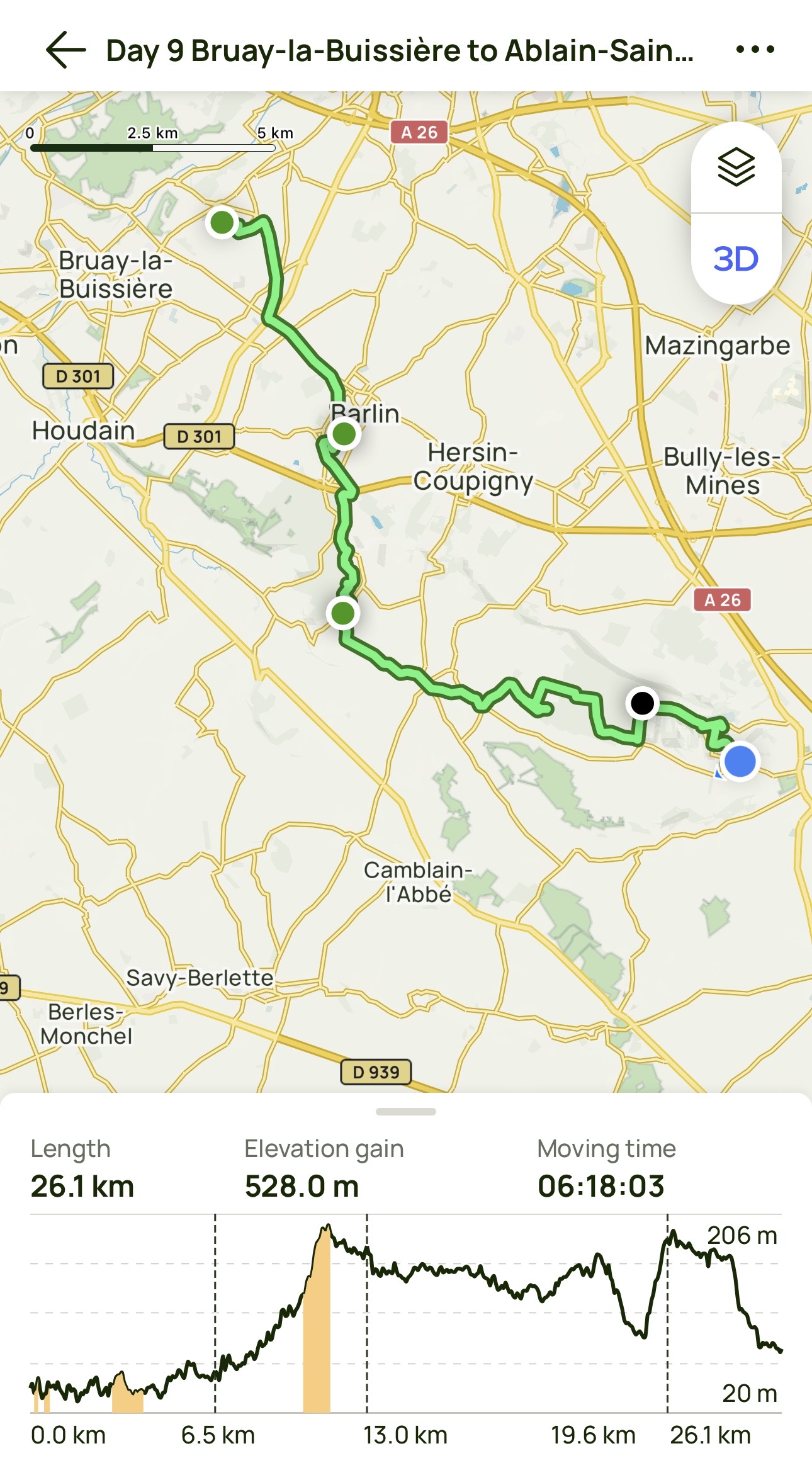
Day 9 AllTrails Stats
Distance: 26.1 km / 16.2 miles
Elevation Gain: 528 m / 1,732 feet
Steps: 38,056
Relive: https://www.relive.cc/view/vrqo5oKr9yO
Apologies for the glitch in Relive when I was off the trail and got lost.
Accommodation: Les Chemins de Lorette, Ablain-Saint-Nazaire
Day 10: Ablain-Saint-Nazaire to Arras
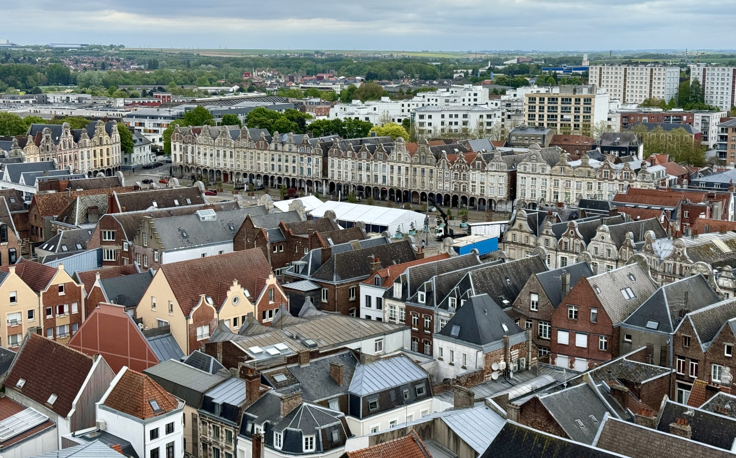
Today was my first chance to walk into a large French city, Arras, so the last few kilometers showed the typical signs of Western urban planning: the heavy industrial zone, then the light industry offices/factories, then the residential suburbs, then the car-filled streets and great plazas. It was encouraging to find that the VF’s routing takes advantage of urban green spots and I passed by numerous city parks. Even better was to see so many people out enjoying the nice weather (warm and dry), and May Day.
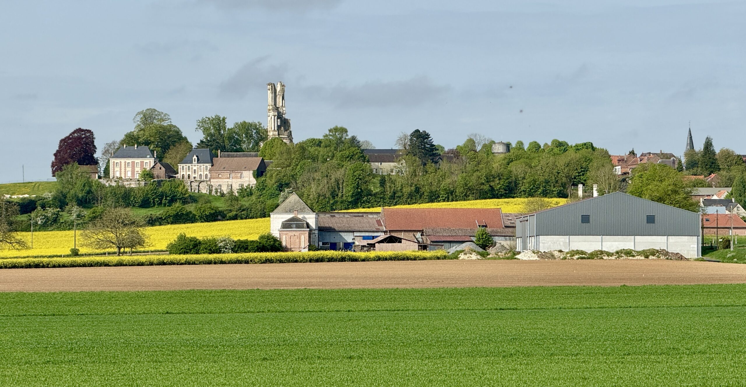
There was more evidence of the devastation of war today, as my walk took me partly along the front line in 1915 before the climb up to the hill-top village of Mont Saint Éloi. I first saw the tall spires of its ruined Abbey about 90 minutes before I walked onto its grounds.
The rest of the images are a real hodge podge, and there are not a lot of fields. I promise!
It’s more than a field! It’s my first sight of the Abbey ruins at Mont Saint Éloi, off in the distance, still a few kilometers away, and getting closer with every painful step.
These fields were filled with trenches during WWI.
As I watched these breeding mosquitoes, I shuttered to think of the soldiers struggling in those conditions.
On the climb up to the village, I found a Route 66-inspired shop. Due to the holiday, I couldn’t go inside. But the decorations were fun!
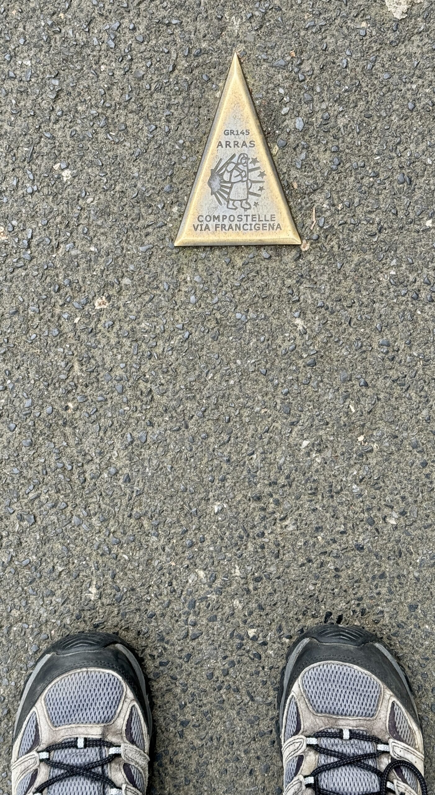
The Camino de Santiago feels far away, but the scallop shell tells me I’m on it.
May Day with good weather calls for a party!
The streets were mostly empty.
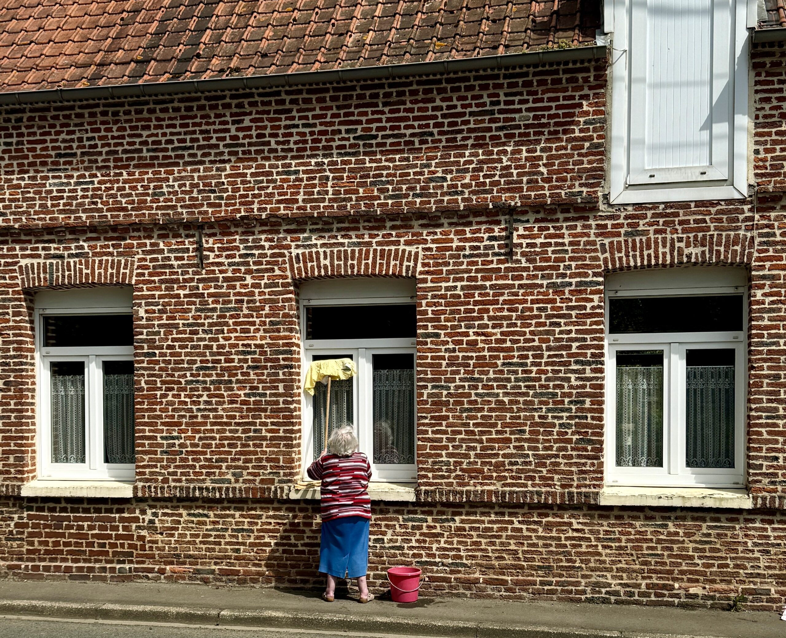
Some people used the good weather to catch up on their chores.
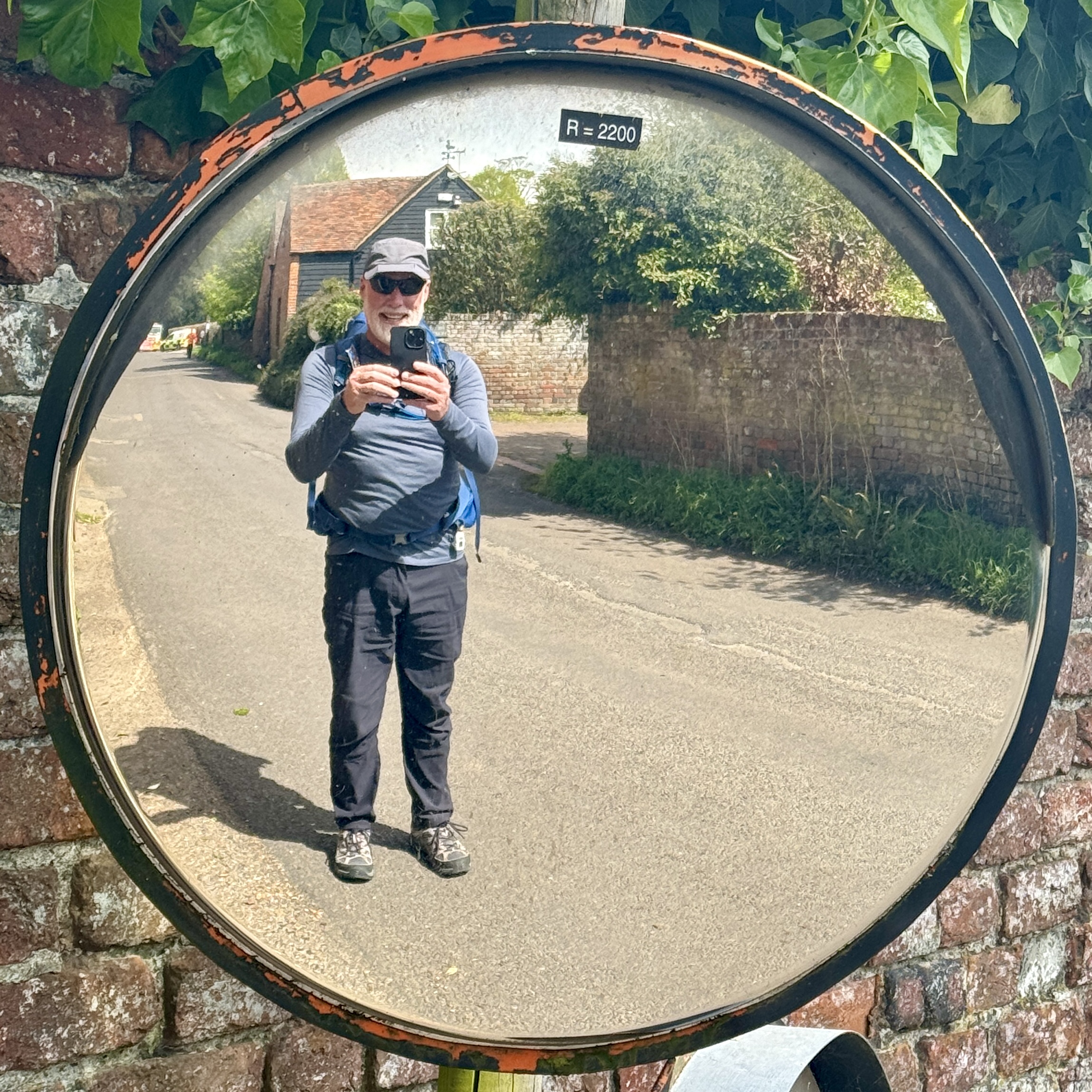
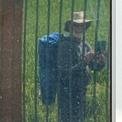
Every now and then, I see the reflection of this wild-looking pilgrim smiling back at me…
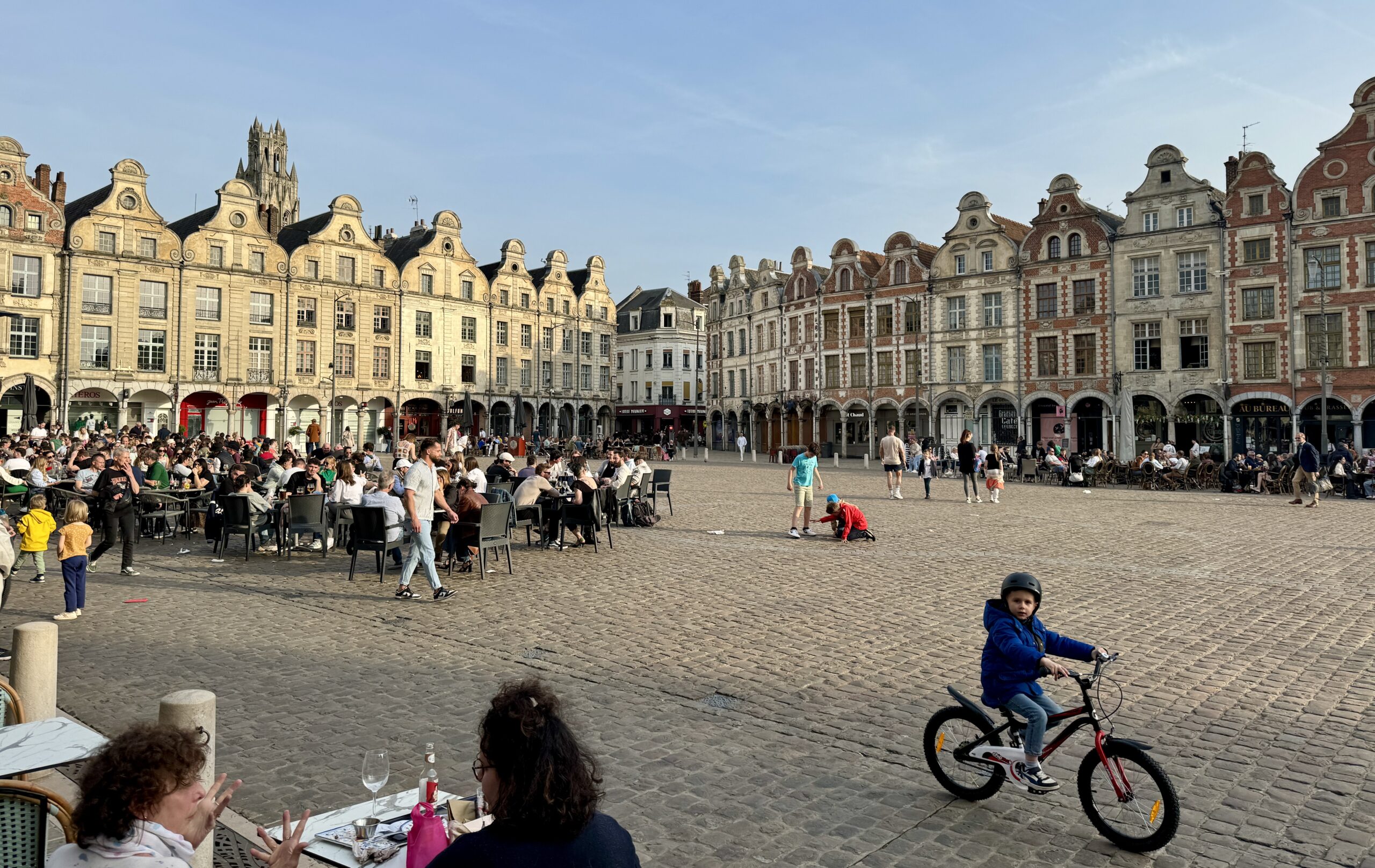
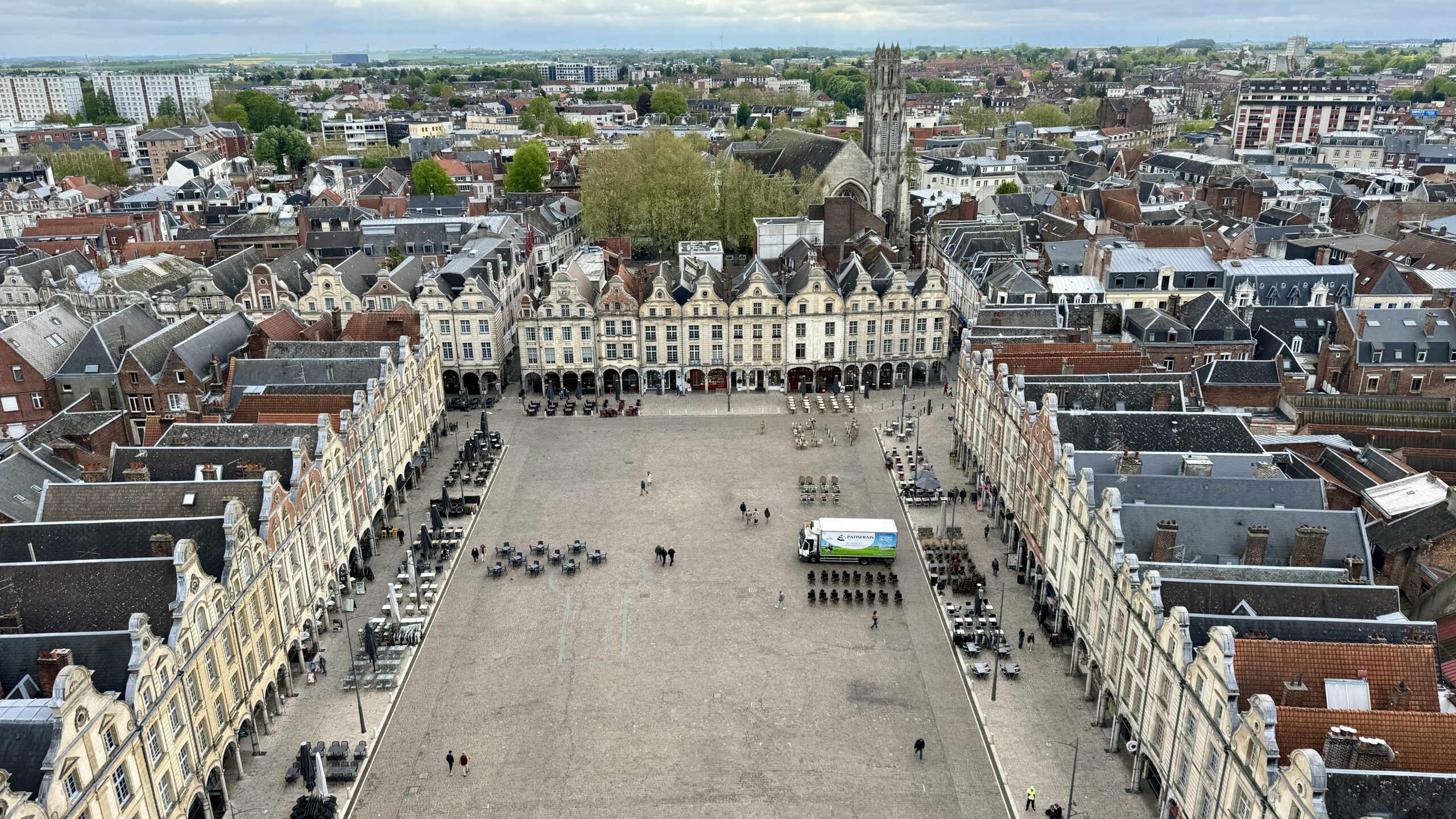
Finally, Arras!
My pace was slower than normal today, and I took more rest stops along the way. Not by desire, but by design.
My sore left foot wasn’t any worse than yesterday, but the pain was always there. It is obvious that something isn’t right as it’s red, warm, puffy tonight, and it hurts a lot when I touch it. The idea of walking through the pain and letting it heal over time, while sometimes effective, hasn’t worked this time, so I have to re-think my schedule and activities over the next couple of days to stay off of it. Thank goodness, I had already planned for tomorrow to be a rest day.
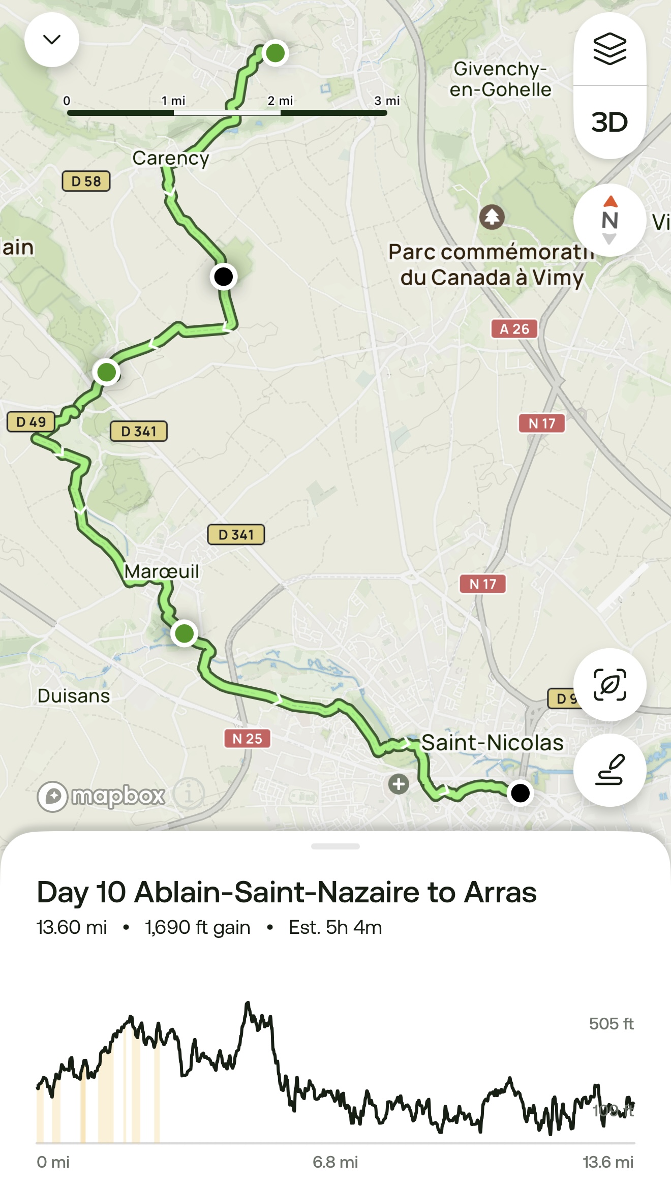
Day 10 AllTrails Stats
Distance: 21.9 km / 13.6 miles
Elevation Gain: 515 m / 1,690 feet
Steps: 34,199
Relive: https://www.relive.cc/view/vPOpD4Yk3RO
Accommodation: Ibis Styles Arras Centre, Arras
Rest Day: Arras
Any habit, good or bad, can be hard to break. After 10 days of a very steady routine on the VF (walk, eat, sleep, repeat), I found it hard to rest much on this “rest day.” Sleeping in and staying completely off my feet weren’t possible, although the grey skies and the scattered showers helped me appreciate the warmth and comfort of the cafés I frequented.
Following yesterday’s holiday, Arras seemed to have a “blue Monday” feeling for a Thursday. I felt others’ melancholy. It was as if everyone around me shared my sadness about this unplanned, unexpected, and unwanted stop to my forward progress. Or was I just projecting?
I looked at my sore foot every couple of hours and it seemed that the swelling was going down. “Just get through today,” I told myself.
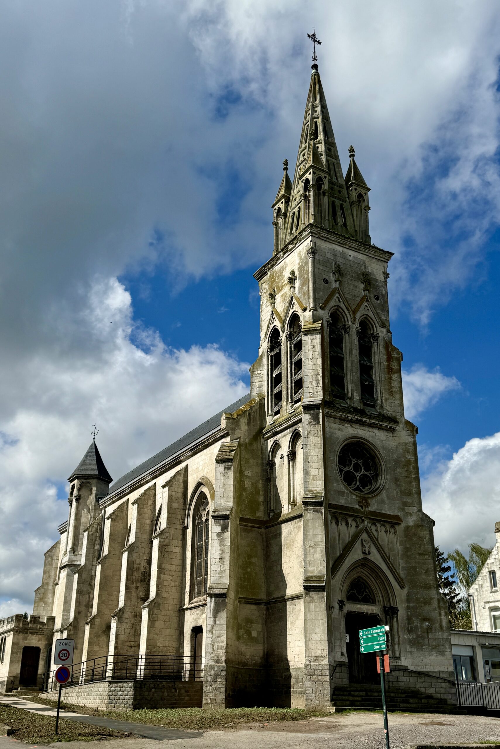
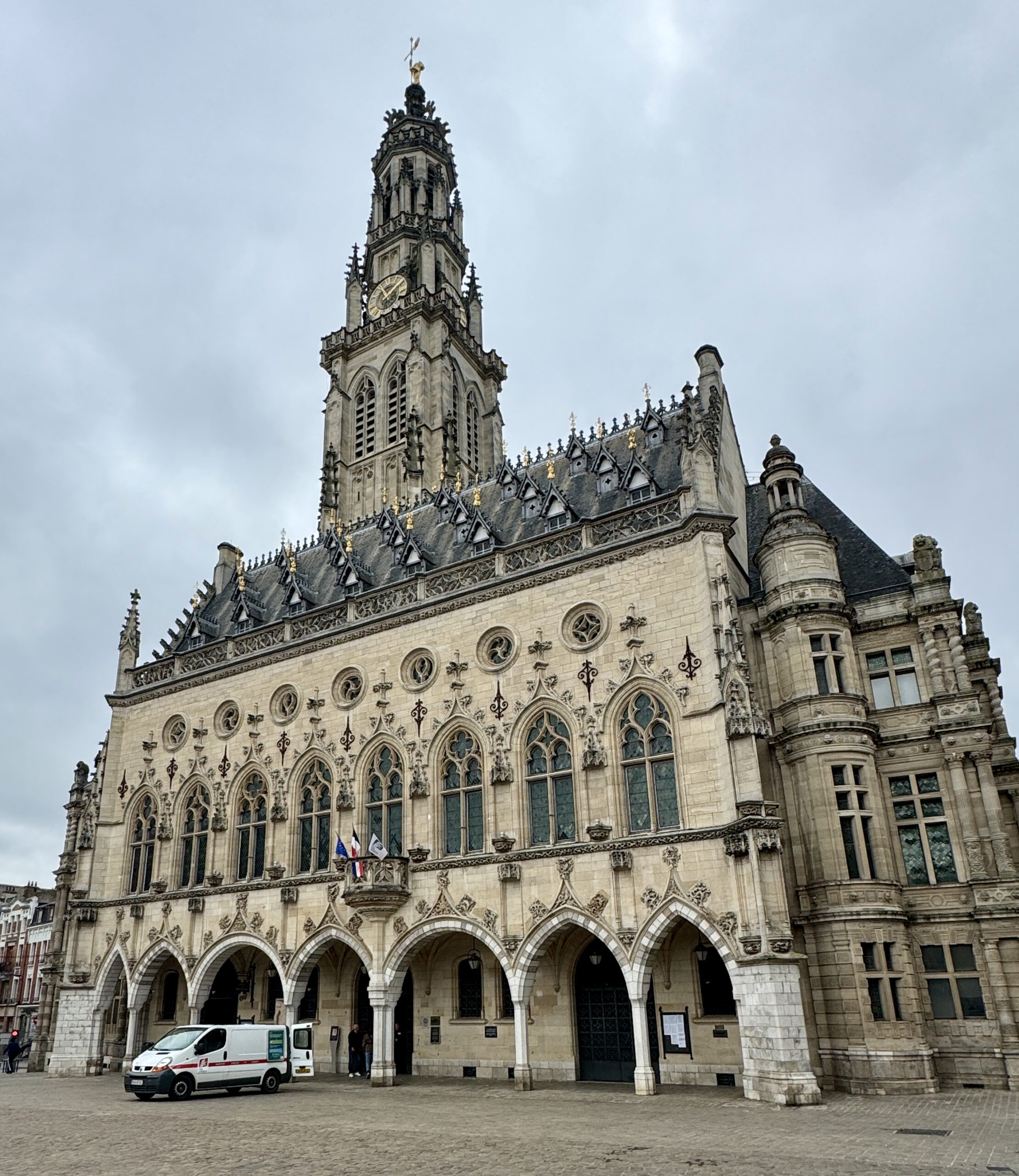
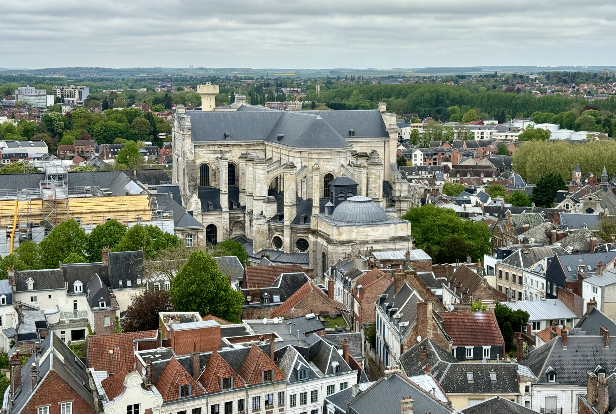
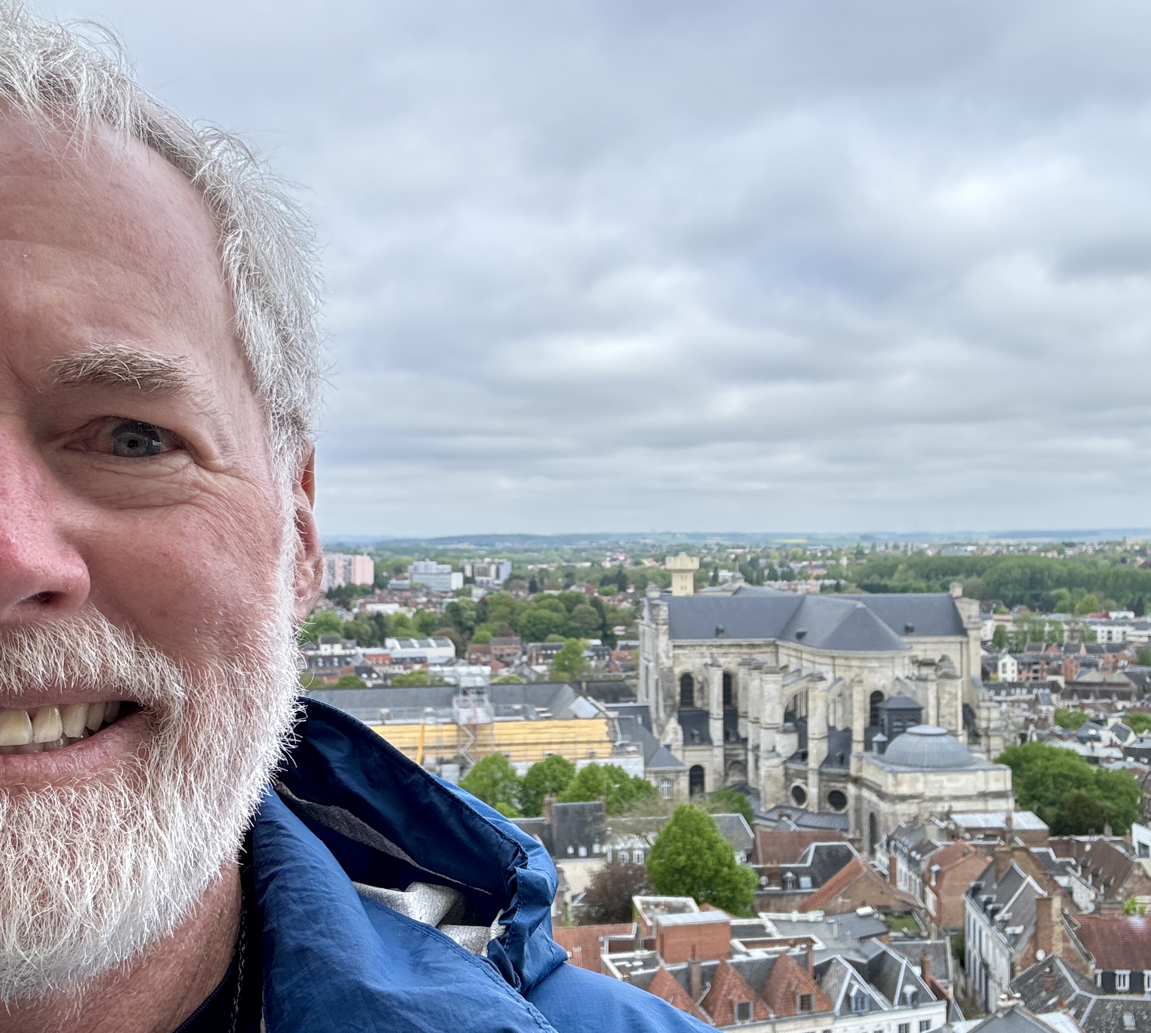
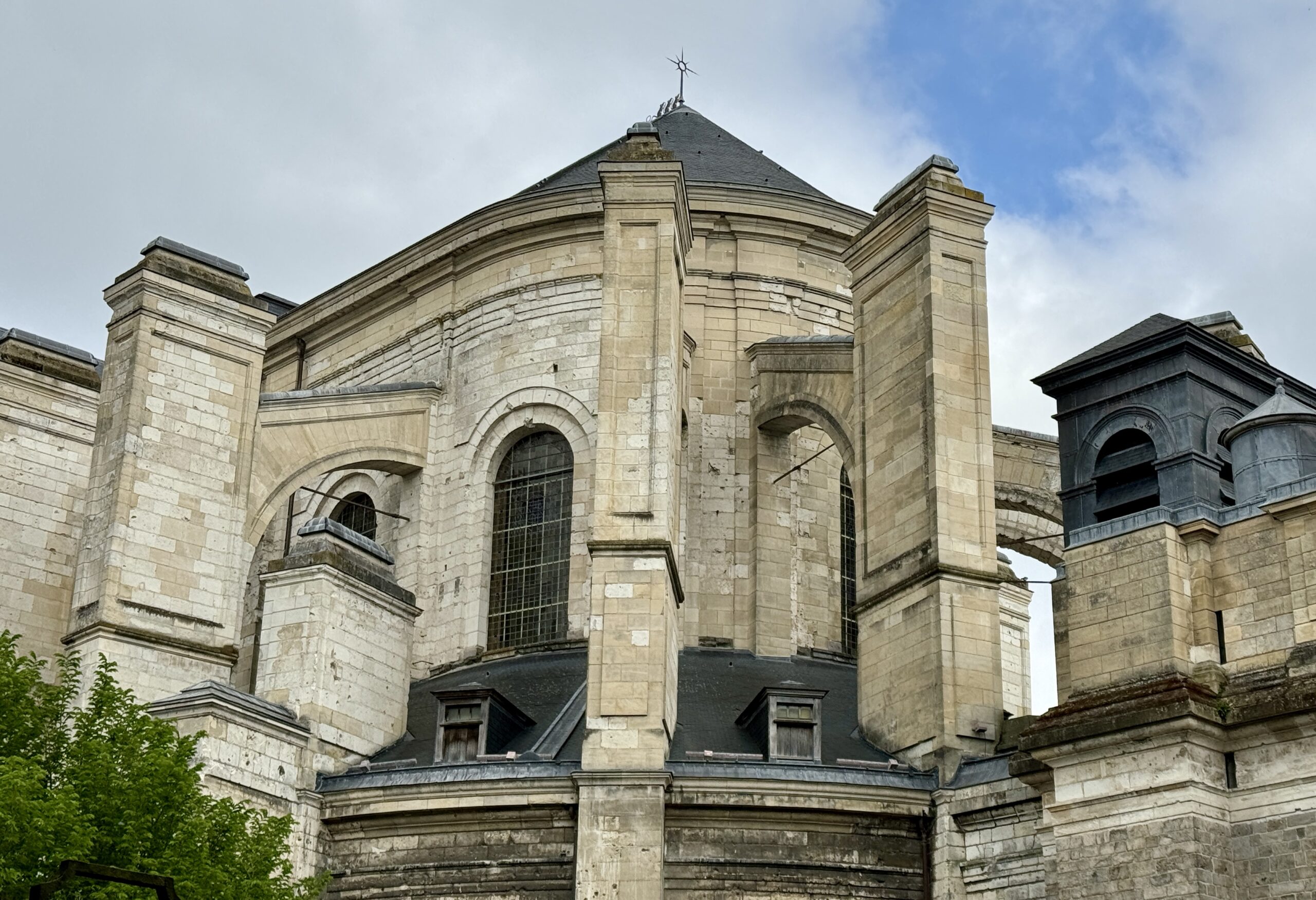
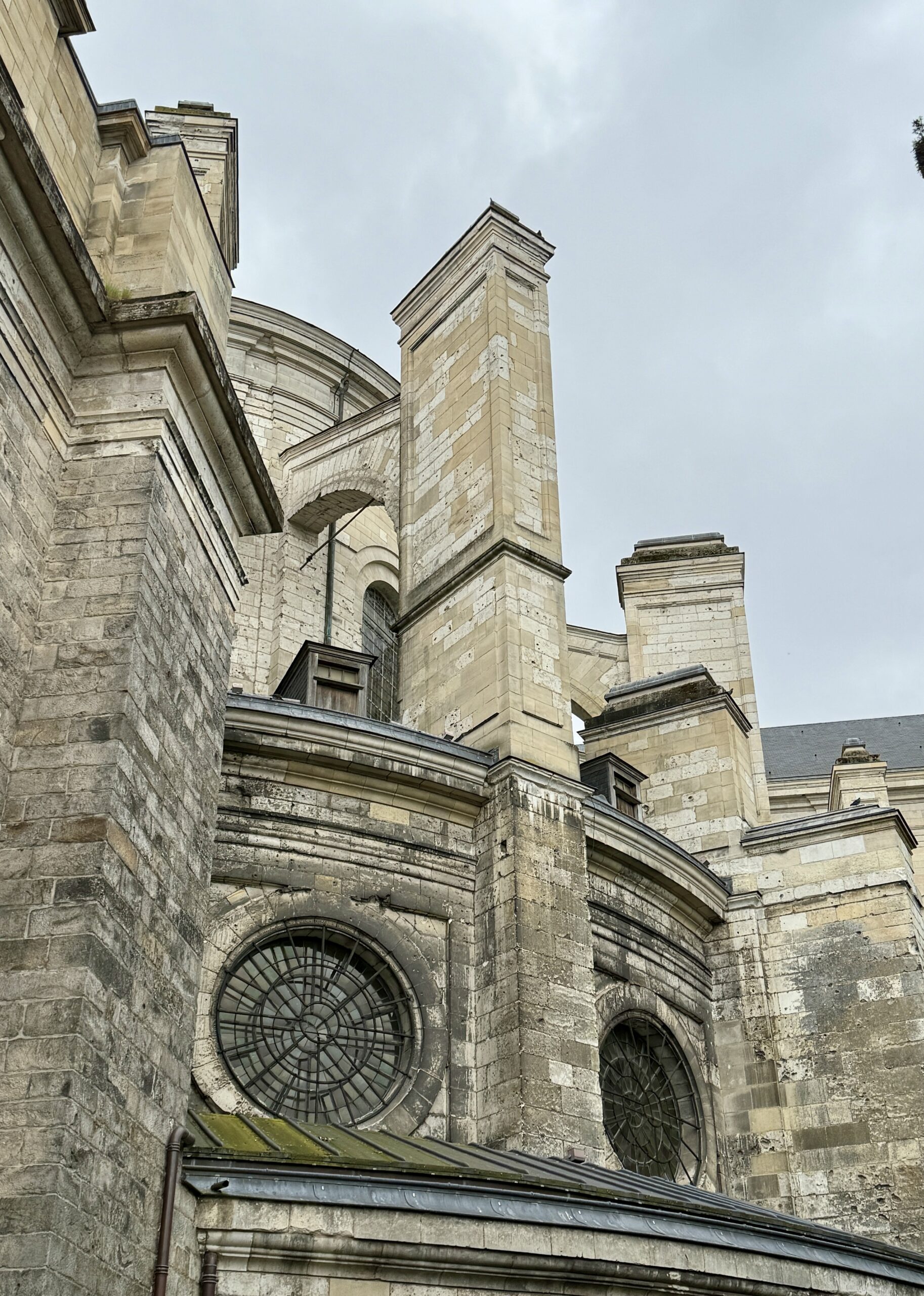
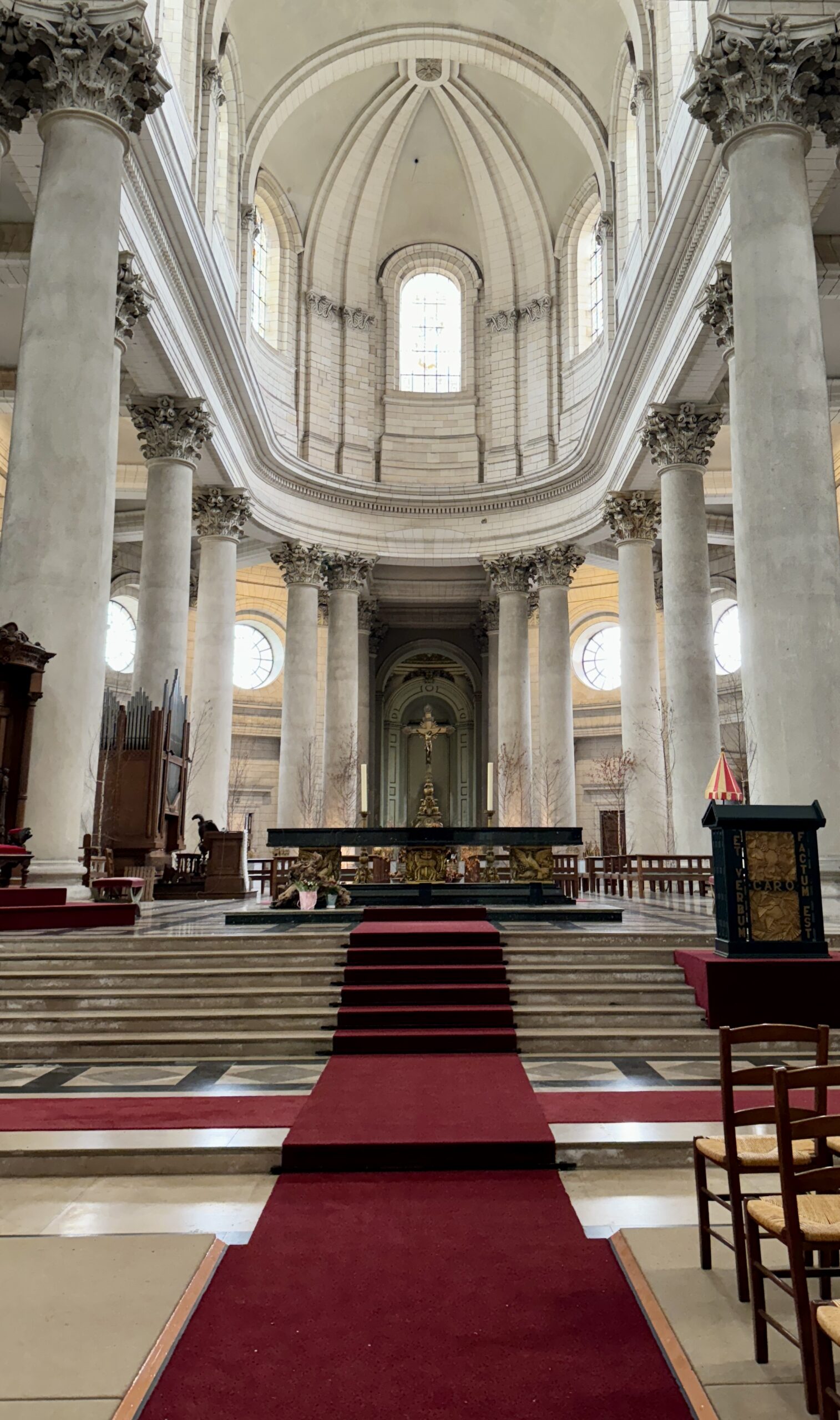
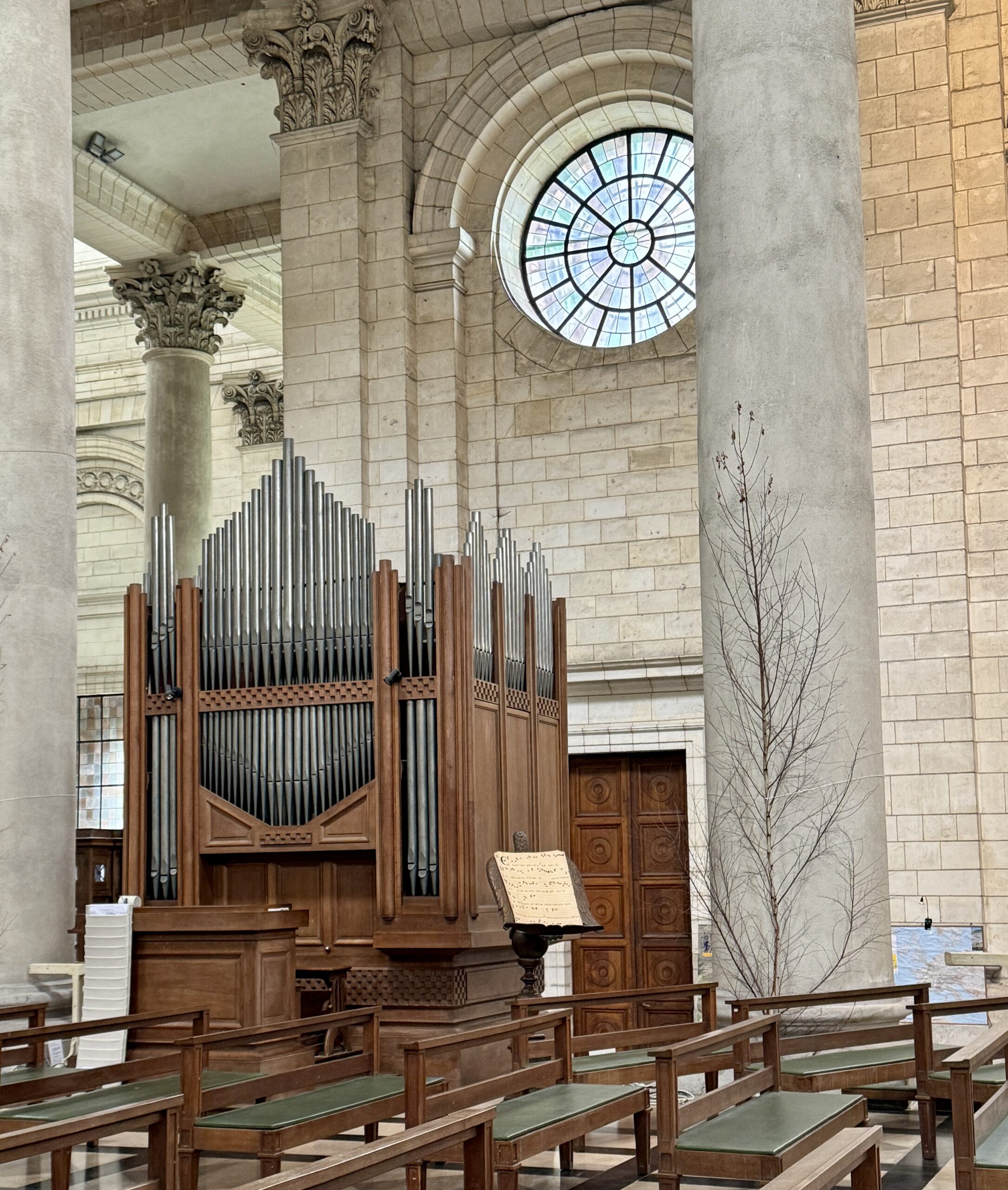
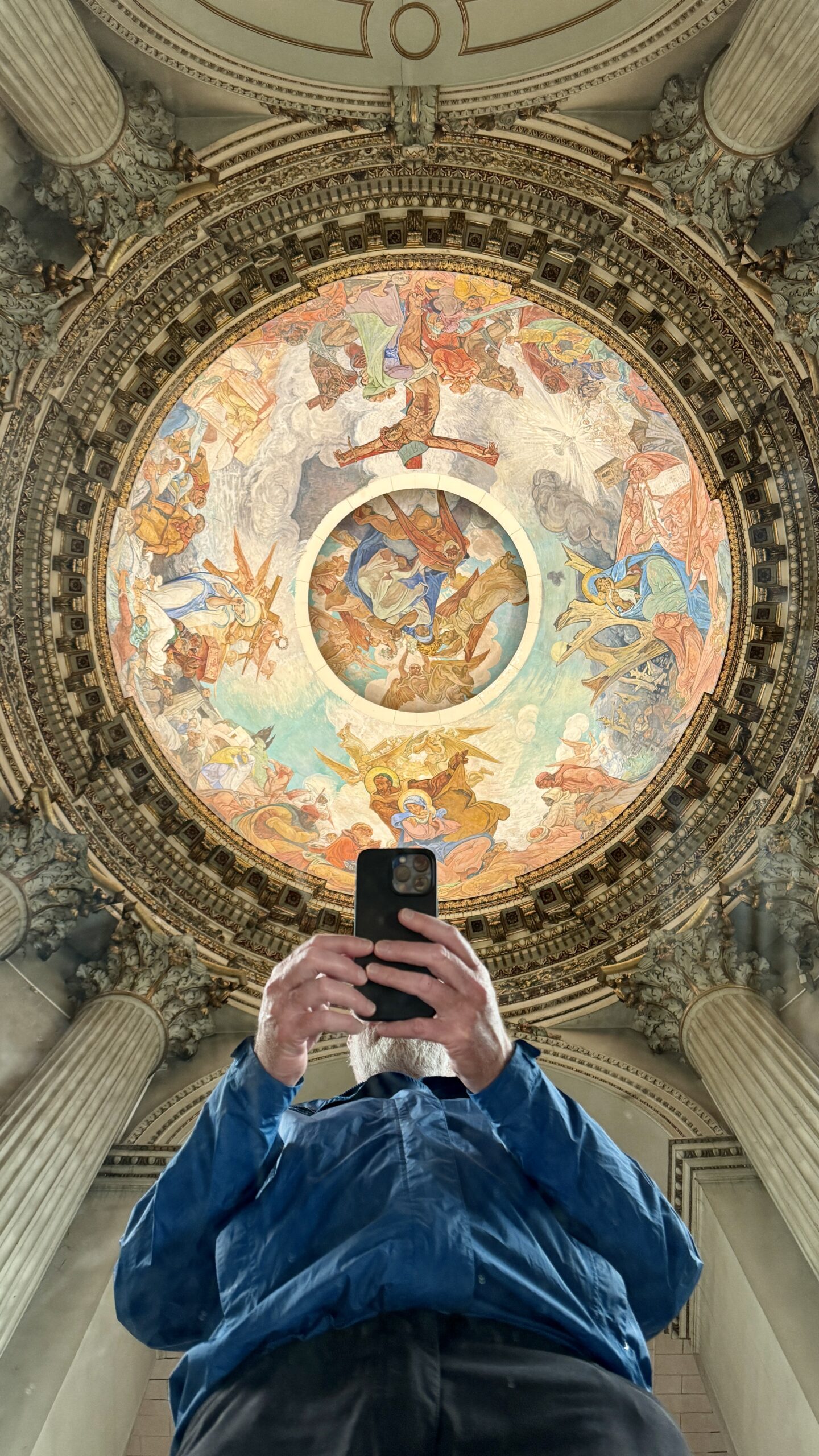
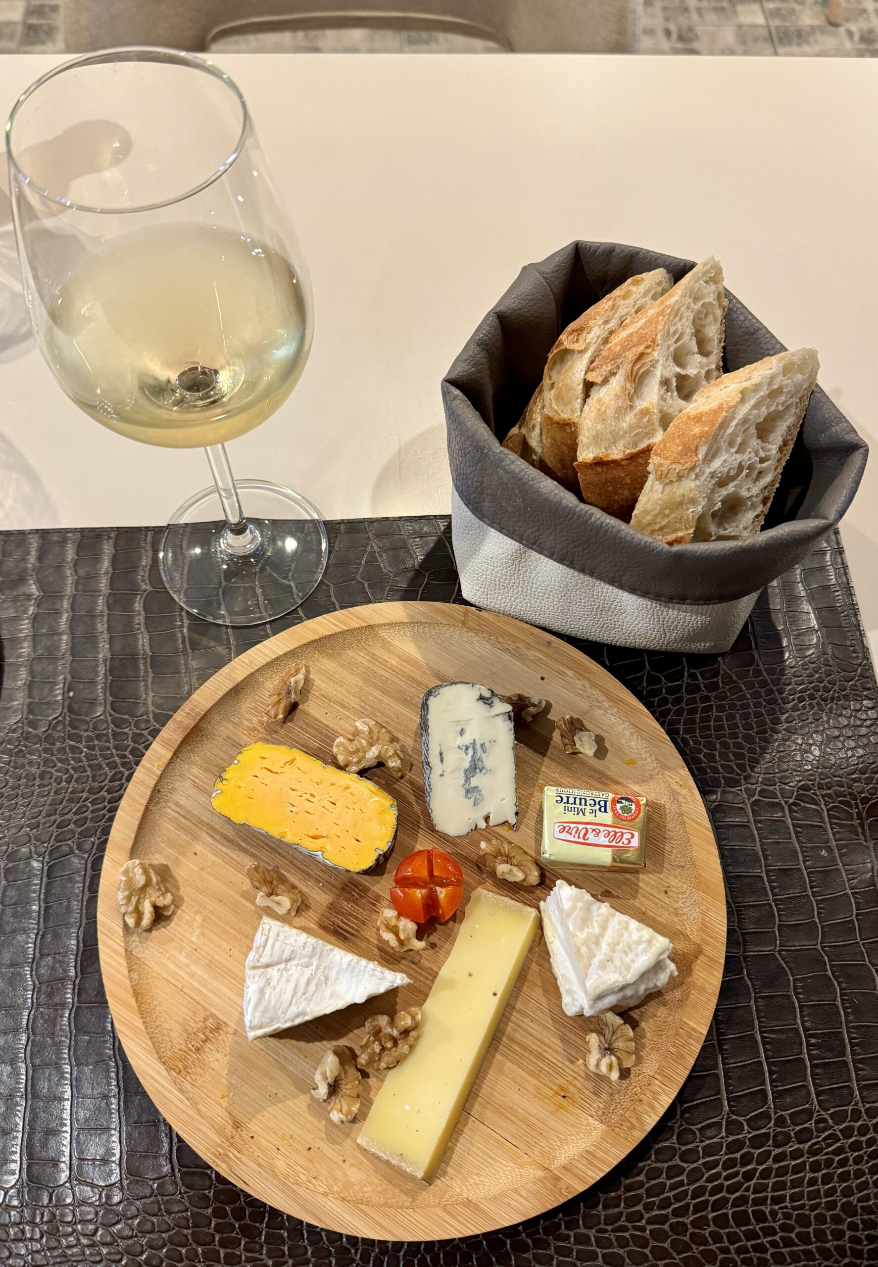
I kept to the tourist attractions nearest my hotel: the Grand’ Place and Place des Héros, the Beffroi de l’Hôtel de Villes d’Arras, and the Cathédrale Notre-Dame-et-Saint-Vaast d’Arras. I got a haircut and a beard trim, sorted out my pack, did laundry, replenished low supplies, tasted some local cheese, read, and texted with friends. I even napped. I love France, and I love being a tourist in France, but this isn’t what I’m here for this time. Here are a few snaps.
An update, and a pause…
I arrived to this hemisphere one month ago today. Excited about my upcoming adventure and confident that my prior walks, hikes, climbs, Caminos, and Vias over the past two years had prepared me well to take on Europe’s longest pilgrimage route. After a few days to adjust to the time change, I walked from Winchester to Canterbury for 14 days and 145 miles on The Pilgrims Way (PW), The accomplishment felt great!
My idea that the PW would serve as a warmup seemed to pay off. I had formed, treated and calloused my blisters, shifted from my Merrell trekkers into my more comfortable Chacos sandals, jettisoned a few unnecessary items to reduce my pack weight, cut the calories a bit to reduce my body weight, and entered into an effective Camino routine. I was very ready to see Rome when I set out 12 days ago. That was my plan, and I am nothing if not a planner…
Life is what happens to you while you’re busy making other plans.
– John Lennon
For 10 days and 206 km (128 miles) since Canterbury, things continued apace. Then something happened. Just what it was, I don’t know. I may never know. Yesterday’s rest day was an attempt to “cure” my foot pain, but it wasn’t enough.
After just 2 kms this morning, the pain became too much to continue so I sat down on a park bench and did some online, self-help research.
For top-of-foot pain, seek immediate medical attention if you:
Have severe pain or swelling, especially after an injury. Have signs of infection, such as redness, warmth and tenderness in the affected area… Are unable to walk or put weight on the foot.
– Mayo Clinic website
I realized I needed help and searched online for a podiatrist back in Arras. Looking up “podiatrists” on Google Maps, gave me several nail salons offering “pedicures.”
Quick. Think. It’s Friday morning. How can I find a doctor before the weekend? I remember that I was less than an hour from one of the great capitals of the world, so I cancelled the lodging I had booked for tonight and hopped on the next train to Paris. While onboard, I booked a room in Paris for the weekend. When the hotel confirmed reservation and asked if there was anything else they could do for me, I replied… “Yes, I’m very glad you asked…”
Fast forward a few hours: my hotel found me a doctor nearby who told me I have “a severe contusion to the soft tissue of my dorsum pedis” (please, no jokes). “Hmm, ok. That doesn’t sound good. What should I do for it?”
1) an anti-inflammatory pill each day;
2) an anti-inflammatory topical gel to massage into my foot 3x per day;
3) “Stay off the foot!” for 5-7 days.
Well, needless to say, that’s a blow to my plans, and I am feeling pretty down.
So… no pics today (trust me, you don’t want to see my foot!), and I don’t know what will happen next.
Many of you have reminded me to “listen to” my body, and “respect” it. I’m not very good at that, but I believe you. I will do my best.
All the boulevards, and museums, and galleries, and river bridges. The cafés, and the bistros. I double-checked the map at my hotel and realized I am just 4 km from L’Arc de Triomphe, ≈5 km from the Eiffel Tower, and only 1.5 km from the Louvre. So much to do – Paris is such a great city to explore on foot – I can’t wait to get started!
But I won’t…
What I will do, however, is my best to stay off my feet while I watch Liverpool FC play this afternoon, attend a concert of Vivaldi and Mozart tonight, and visit the home of my first-ever Camino friends, Nico and Maria, tomorrow, to meet their newborn baby. I can do all that without much walking. After that, I’ll take it one day at a time.
I’m definitely not suffering. Hell, I’m in Paris! Life is good! I just don’t know if it will be good on the VF the way I thought it would be. Time will tell.
In the meantime, please take care of yourselves. I’ll be in touch again soon… Thank you, as always, for following and lending me your support.
Back by popular demand, here””’s Chris!
Wow- this opener, filled with the usual historic visual wonders, ends with a cliff-hanger!
Will the cursed foot heal? Will Chris be able to re-commence his path? Will we get to continue our arm-chair journey vicariously with the great explorer and philosopher of life, our dear Chris?
Can’t wait for the next episode!