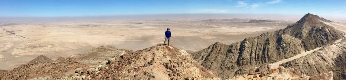

Many people who try multi-day trekking for the first time, and enjoy it, develop a curiosity about other similar routes around the world. Quite often, I compared notes about other paths with pilgrims on the Camino de Santiago (Camino Francés) in 2022 (which I blogged about here). It was on that walk that I learned about “the longest ancient pilgrimage route in Europe: the Via Francigena.”
Now that piqued my interest!
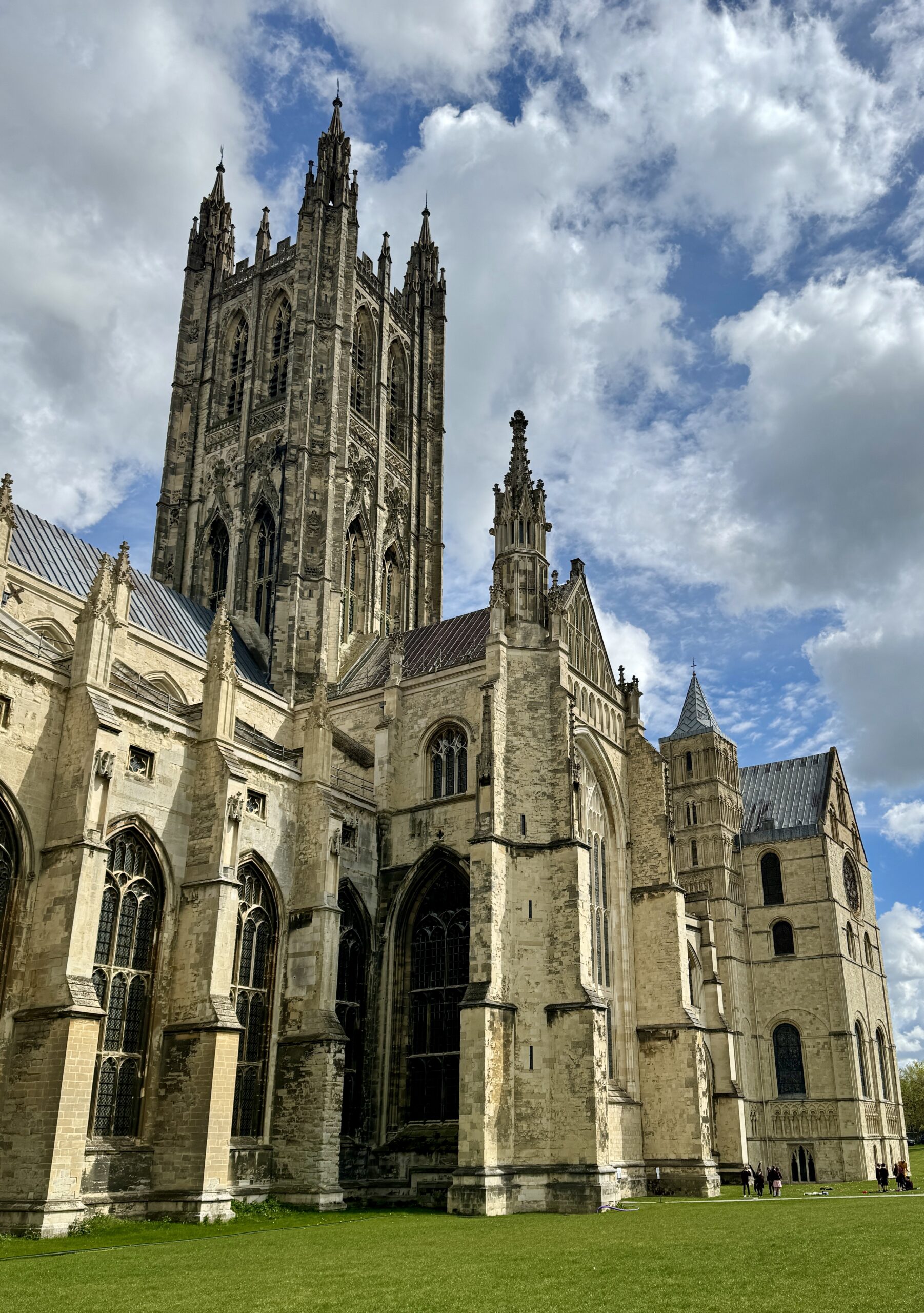
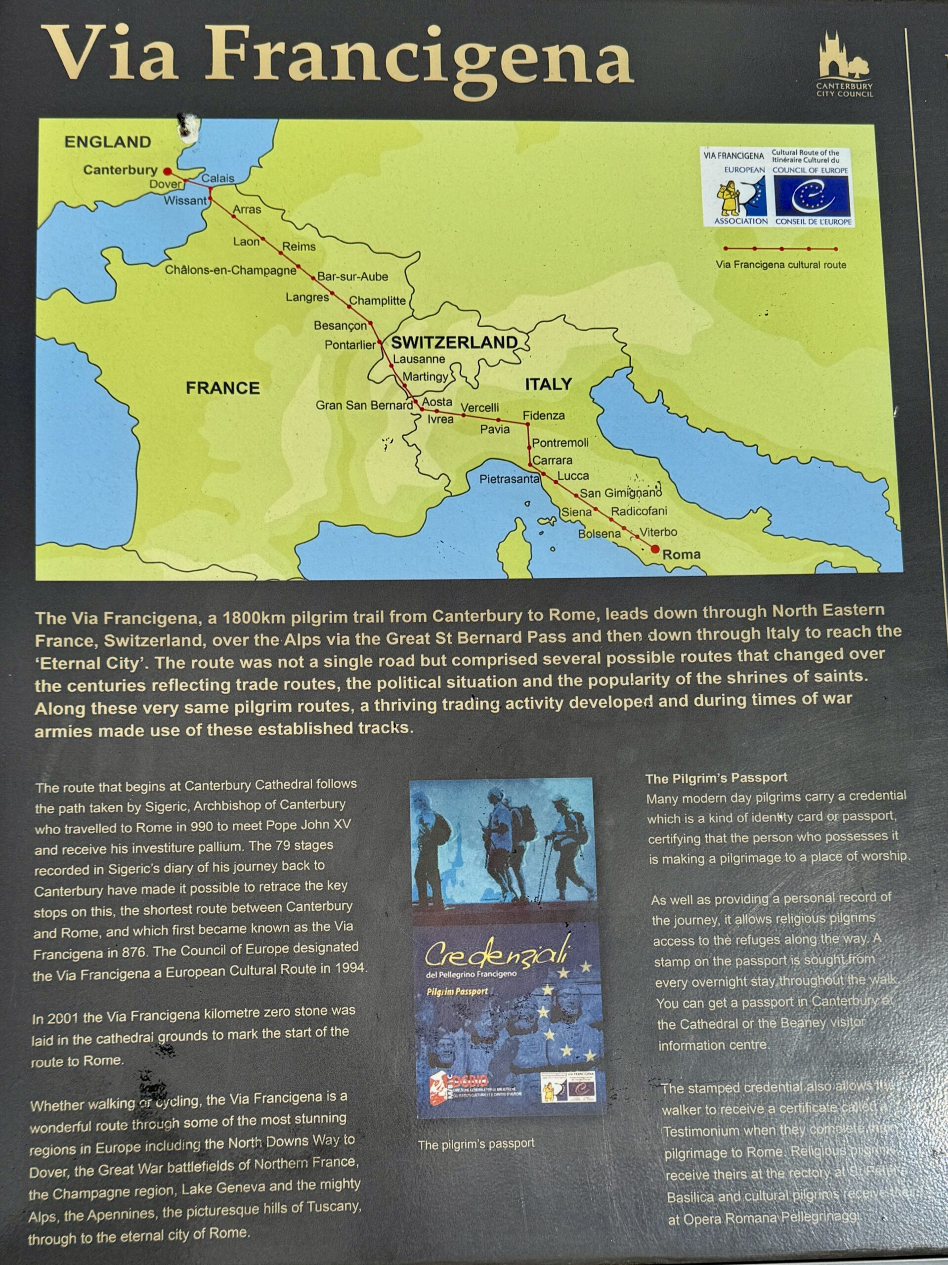
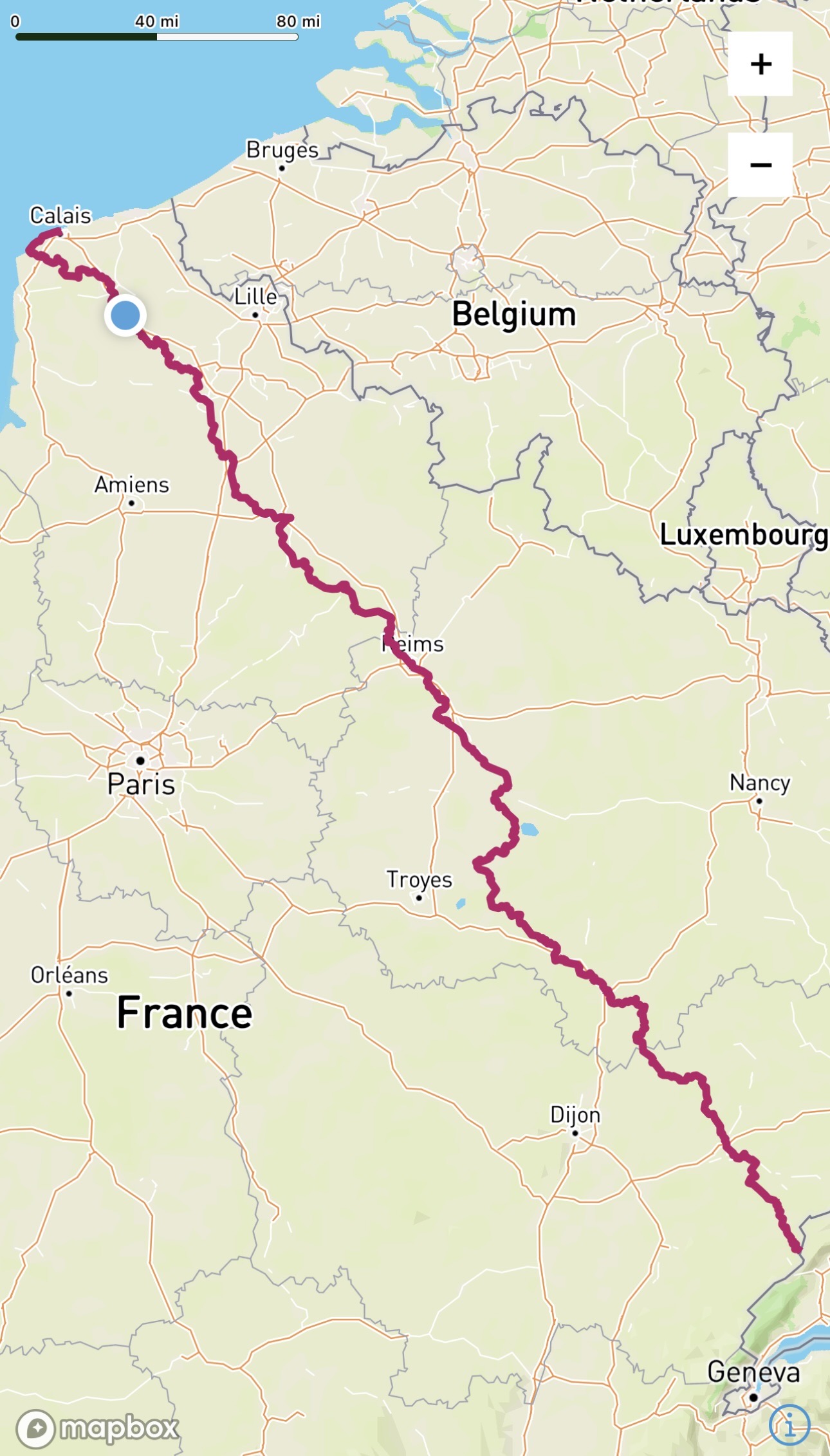
The Via Francigena, meaning “Way of the Franks” (aka VF or Via), is a long walking path thought to closely follow medieval pilgrimage routes from England through France and Switzerland, over the Alps into Italy, and ultimately to Rome. The VF’s modern development and formal organization have expanded in recent years. The European Association of the Via Francigena (EAVF, founded in 2001) first defined the current VF from Canterbury Cathedral (the seat of the Church of England) to Saint Peter’s Basilica in Vatican City (the home of the Roman Catholic Church). The most cited origin of the path is the journey made by Archbishop Sigeric, who documented his trip from Rome to Canterbury in 990 AD. Many of his overnight stops have continued to be important stage endings through the centuries to this day. In some places, the route deviates from Sigeric’s “historical route” and passes through interesting towns, villages, and scenic natural sites. More recently, extensions at both ends have been added to the historic route: a short section from Southwark Cathedral) in London to Canterbury Cathedral, and a much longer stretch named the Via Francigena Della Sud from Rome to Santa Maria di Leuca. It was from this and other harbor towns on the Puglian coast where ancient pilgrims would catch their vessels headed to Jerusalem in the Holy Land.

That sounded perfect to me! I had lived in the UK, had worked in Europe, had studied French for longer than any other language, and had spent a month hiking a couple of Vias in Italy two years ago. Spending more time in those familiar places, not just as a tourist but also not quite as a resident, was very appealing. I did my research online, read Sandy Brown’s guidebooks, compared this trek with the Camino Francés, and booked my flight to London. It all seemed like a marvelous trip!
After a 2-week “warm-up” walk of The Pilgrims Way in southern England, which I blogged about here, I was excited to set out for Rome. I was feeling good and aimed to make the whole journey within the 90-day window of my Schengen Area visa.
The following numerous and long posts comprise a travelogue of this trip (and part of my personal journal), featuring a few stories, some reflections, daily statistics, and a whole lot of photographs and video clips. Please click on any image to see it at full size. Although I’m writing about past events, I will write in the present tense to maintain the immediacy of my experiences and emotions throughout the ups and downs, and twists and turns of the many days, weeks, and months I planned to spend on foot.
You’ve been warned:
- The journey on foot from Canterbury to Rome is a long one, in terms of distance covered, variety of terrain and conditions, and duration. These posts are long.
- Just as every pilgrim’s journey is unique to them, no other person will replicate my trip in their route, daily destinations or pace. Your mileage may vary.
- I take photos and videos of things that attract my attention and fuel my curiosity: the variety of landscapes, patterns in nature, public art, and buildings that are interesting and old. I keep and share them because they refresh the emotions I felt when I first took them. Your photo collection will be very different.
- The Via Francigena is a walk across Europe filled with scenes of great beauty and interest. But not everywhere, and not everyday. If you don’t like something, keep scrolling. Something different and better will appear, eventually.
OK, let’s get started. Thanks for following along with me. Buon cammino!
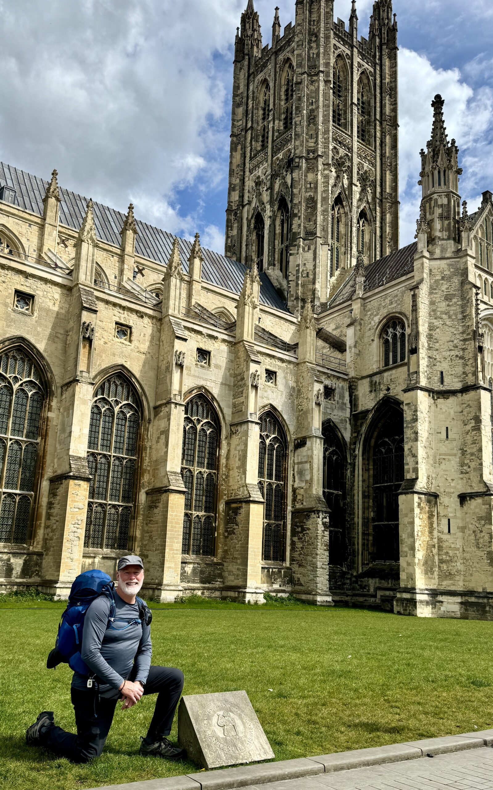
Day 1: Canterbury to Shepherdswell
Not unsurprisingly, Day #1 on the Via Francigena was a lot like my 14 days on The Pilgrims Way, with the significant exception that I met another “pilgrim-to-Rome” at tonight’s accommodation (compared to just one 3-day pilgrim in my fortnight on the PW). Myongsoon is a primary school teacher from South Korea who has walked two routes of the Camino de Santiago, and we had fun comparing notes about our treks. She remains an online friend where we follow and encourage each other in our treks around the world.
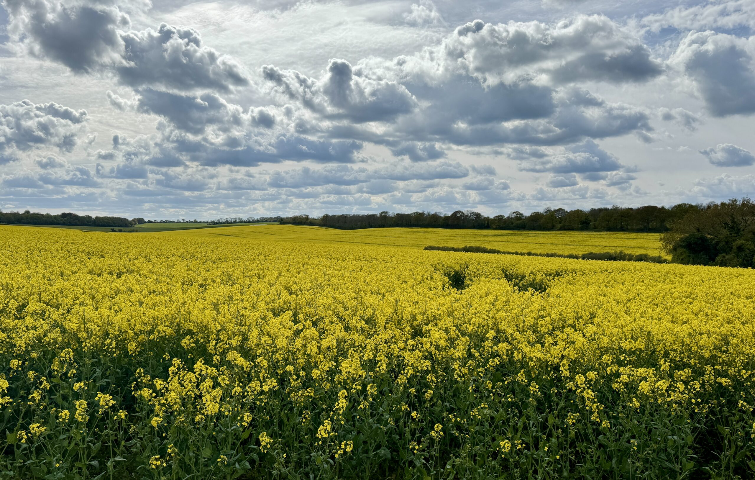
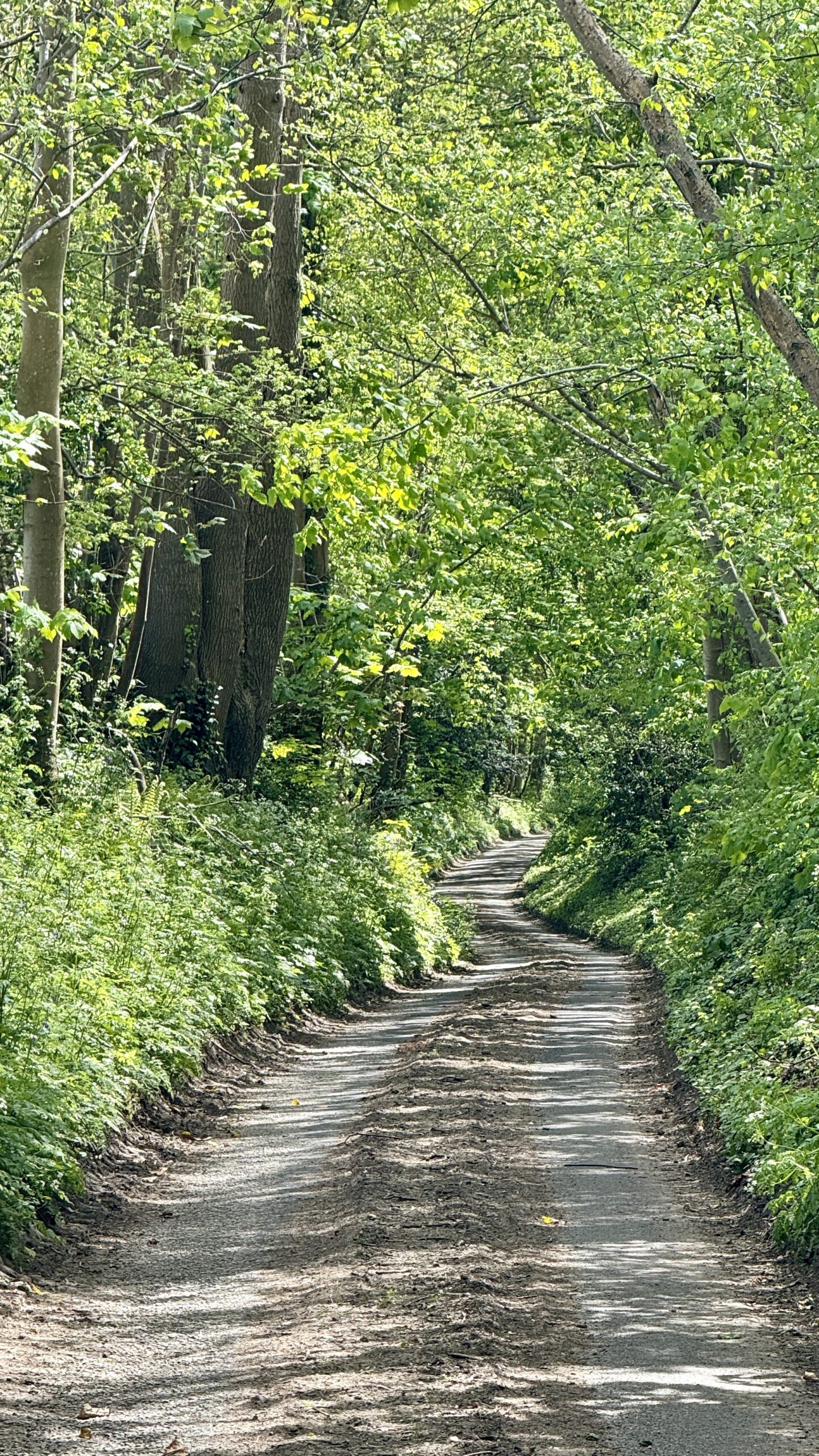
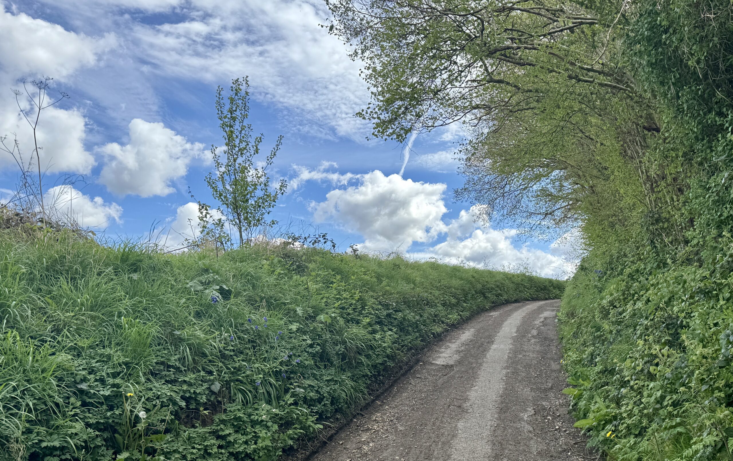
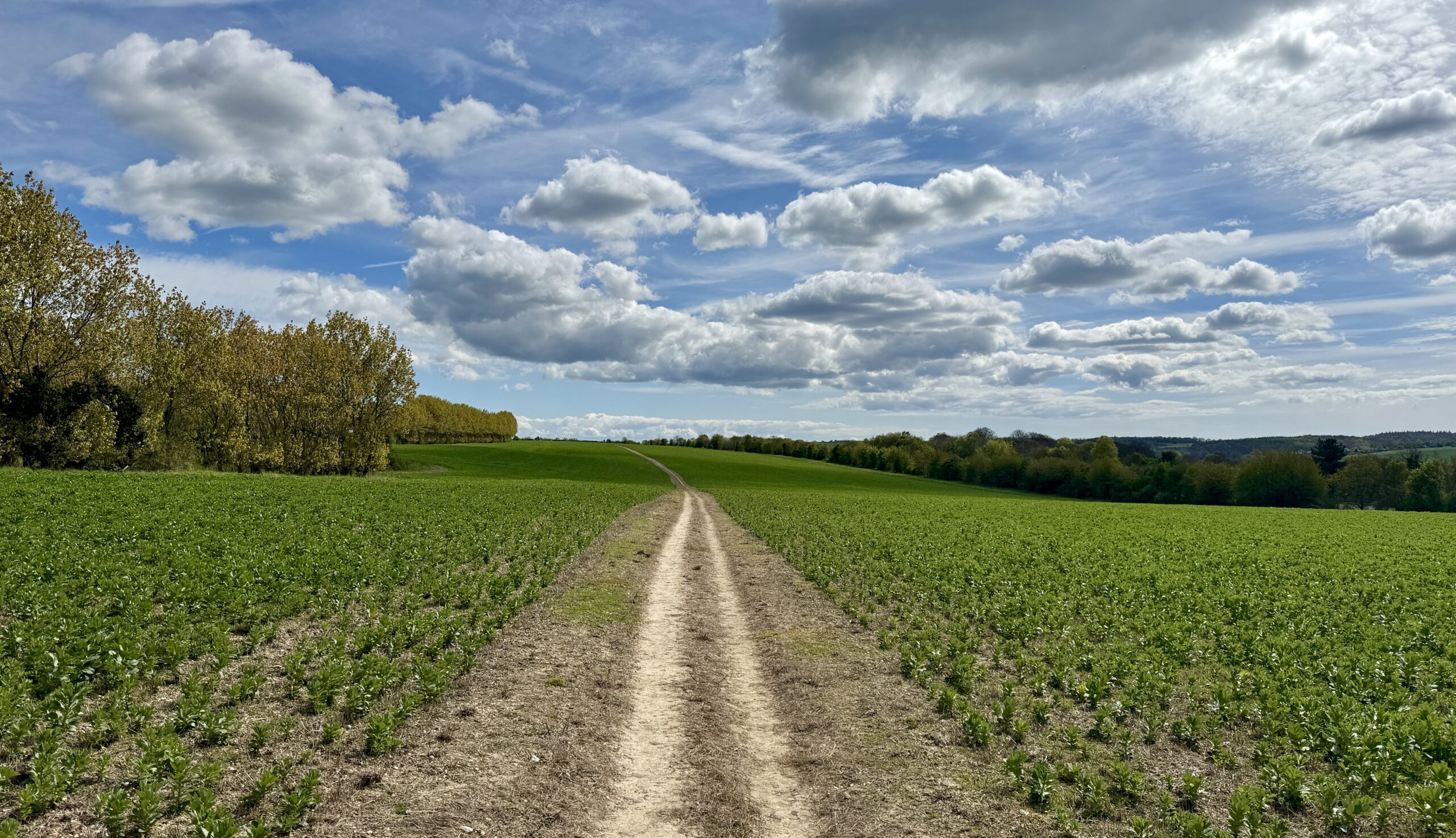
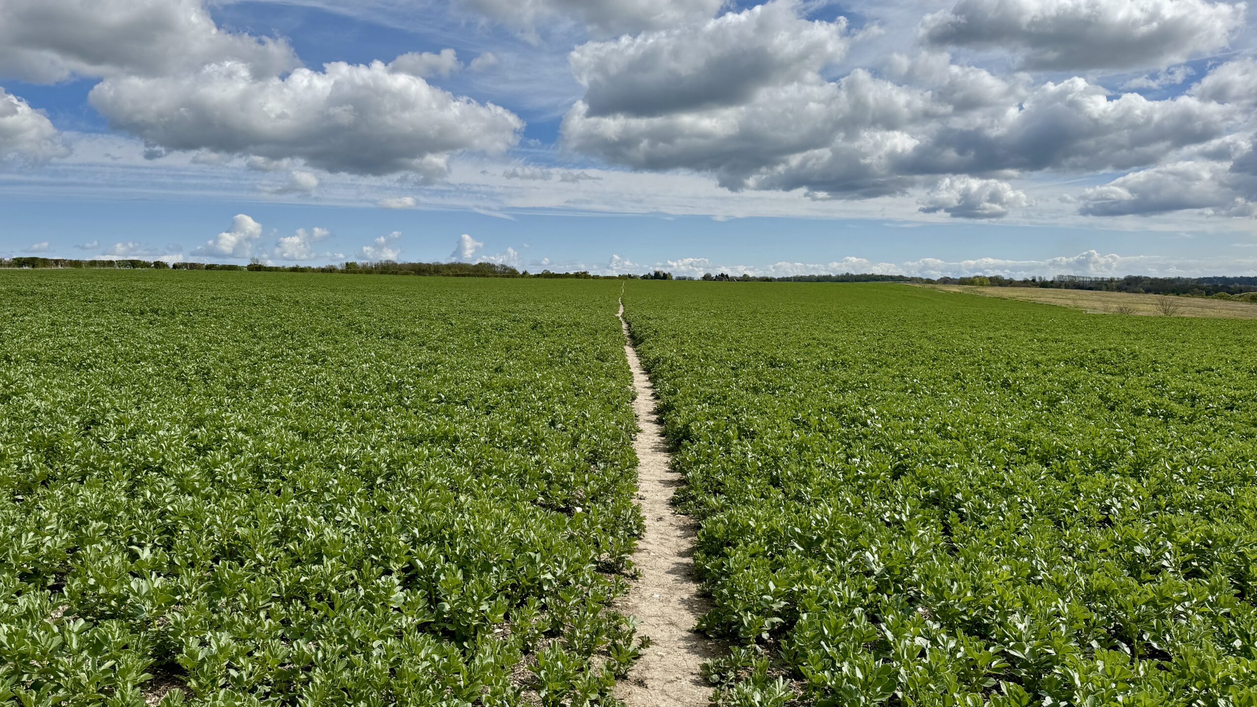
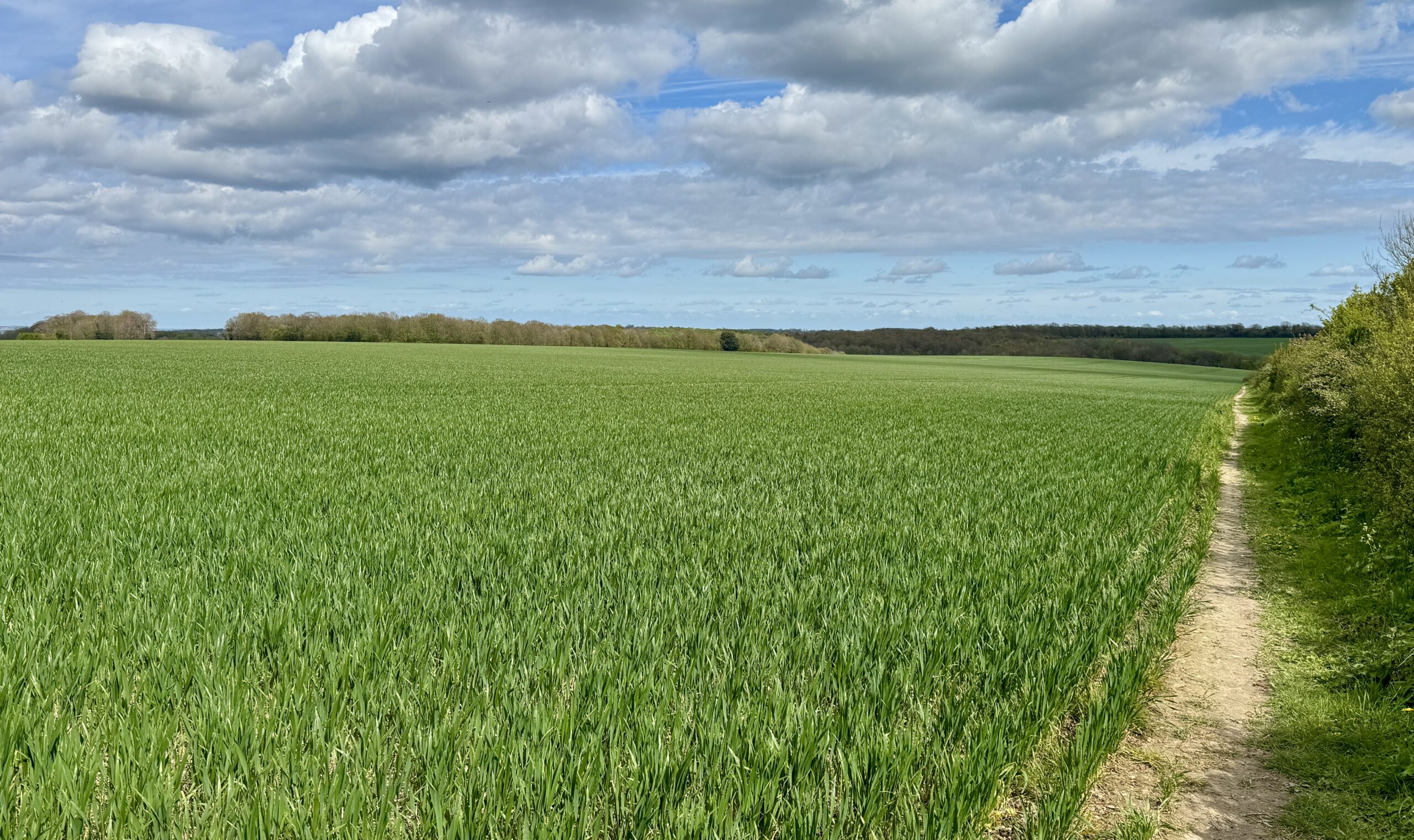
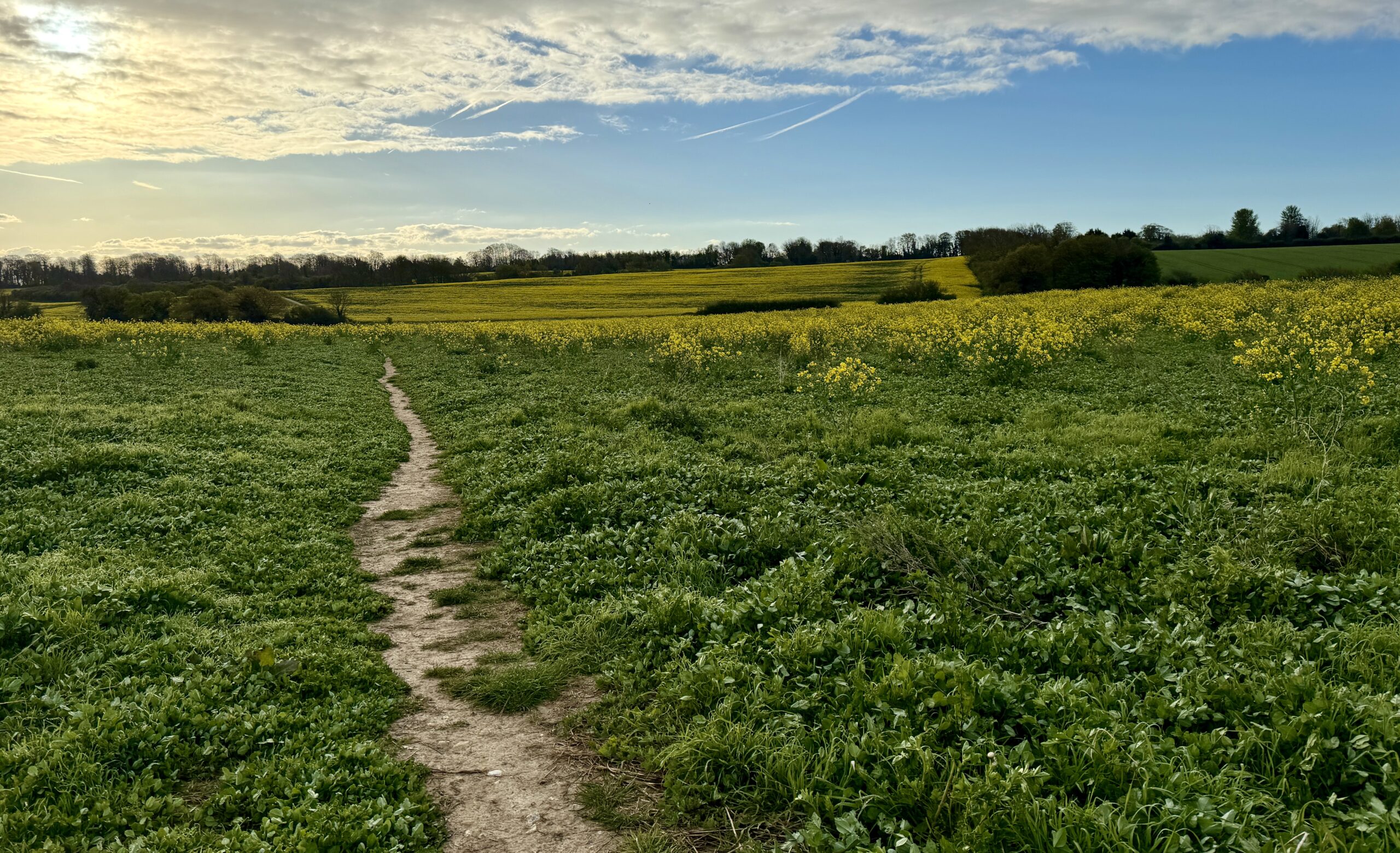
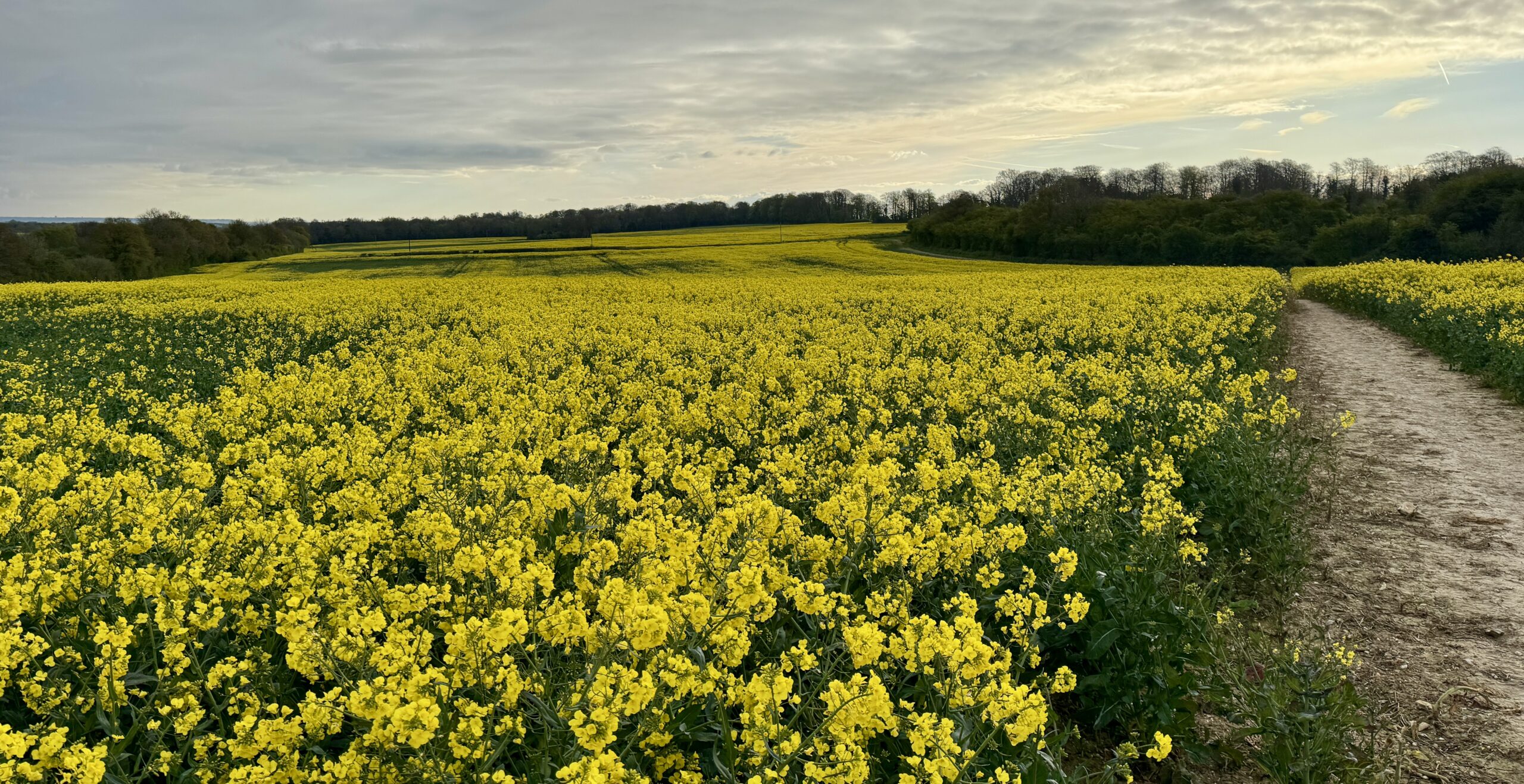
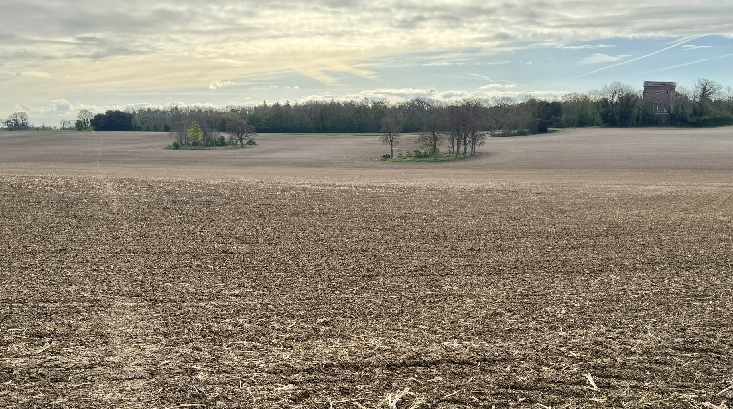
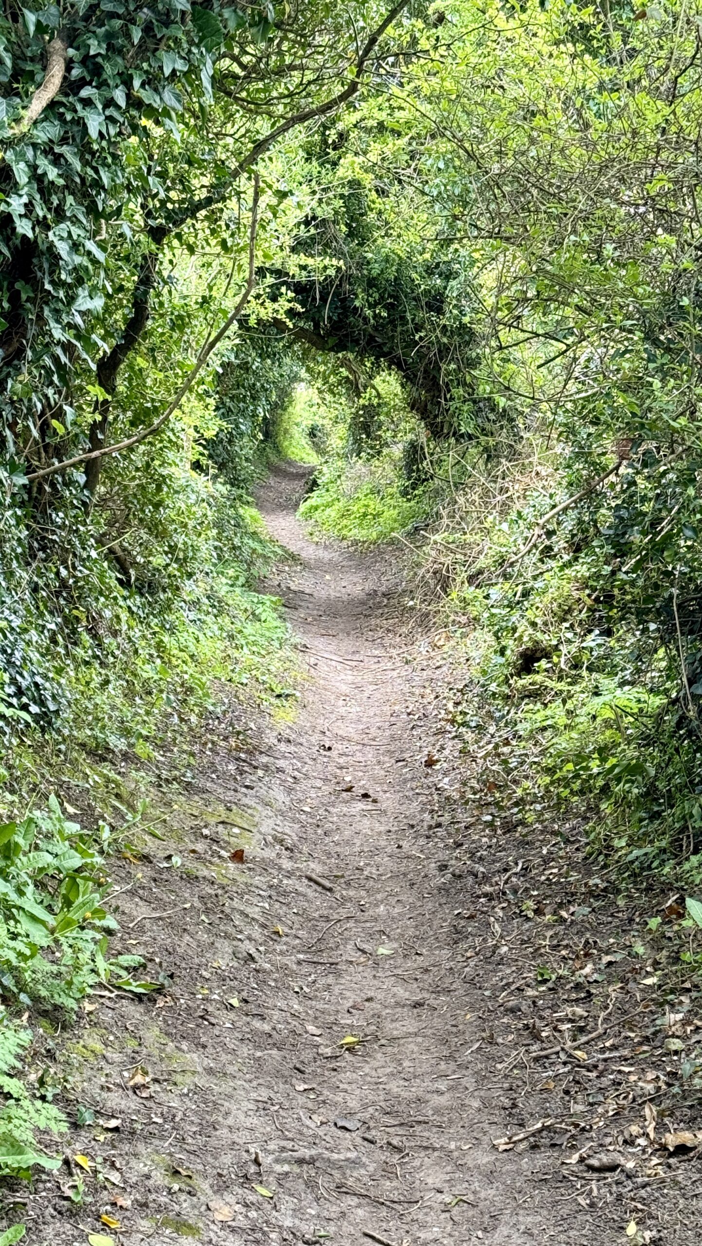
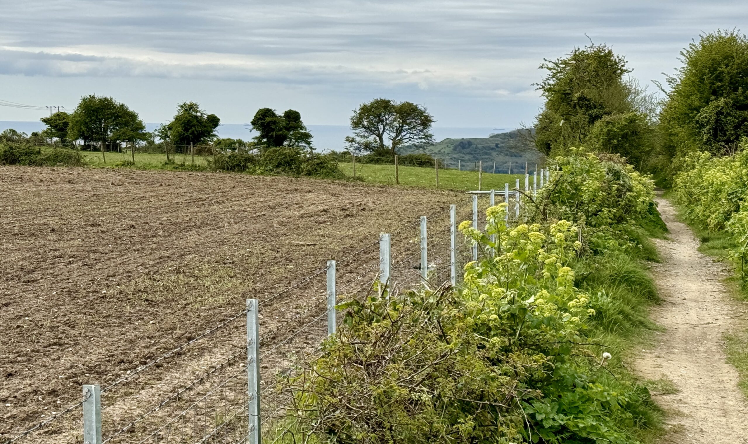
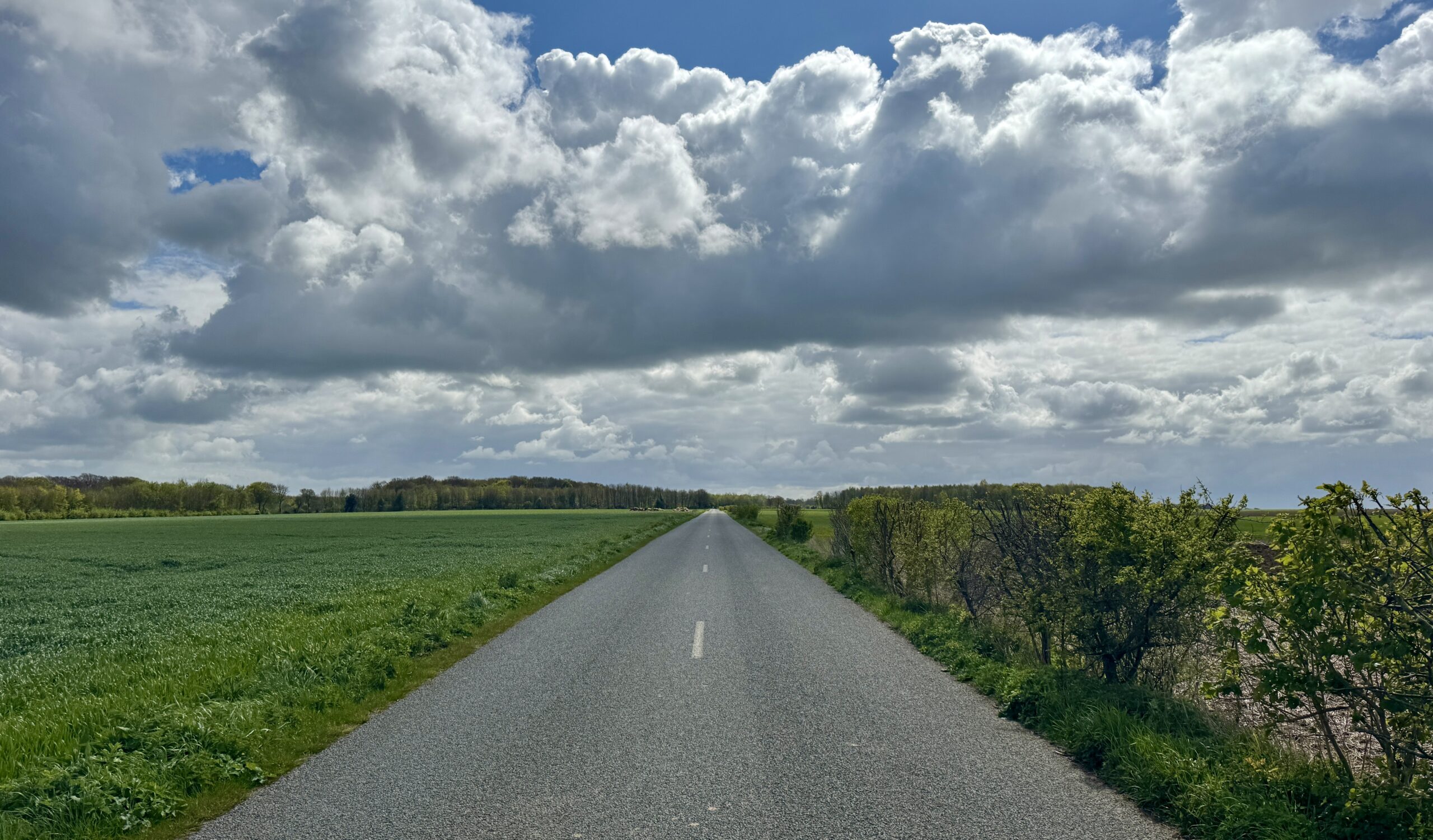
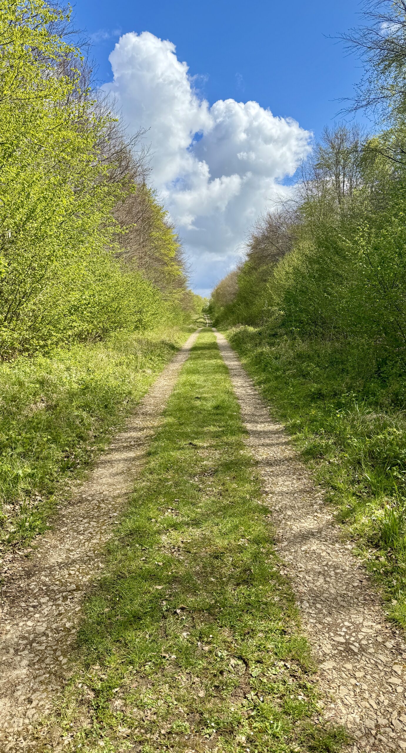
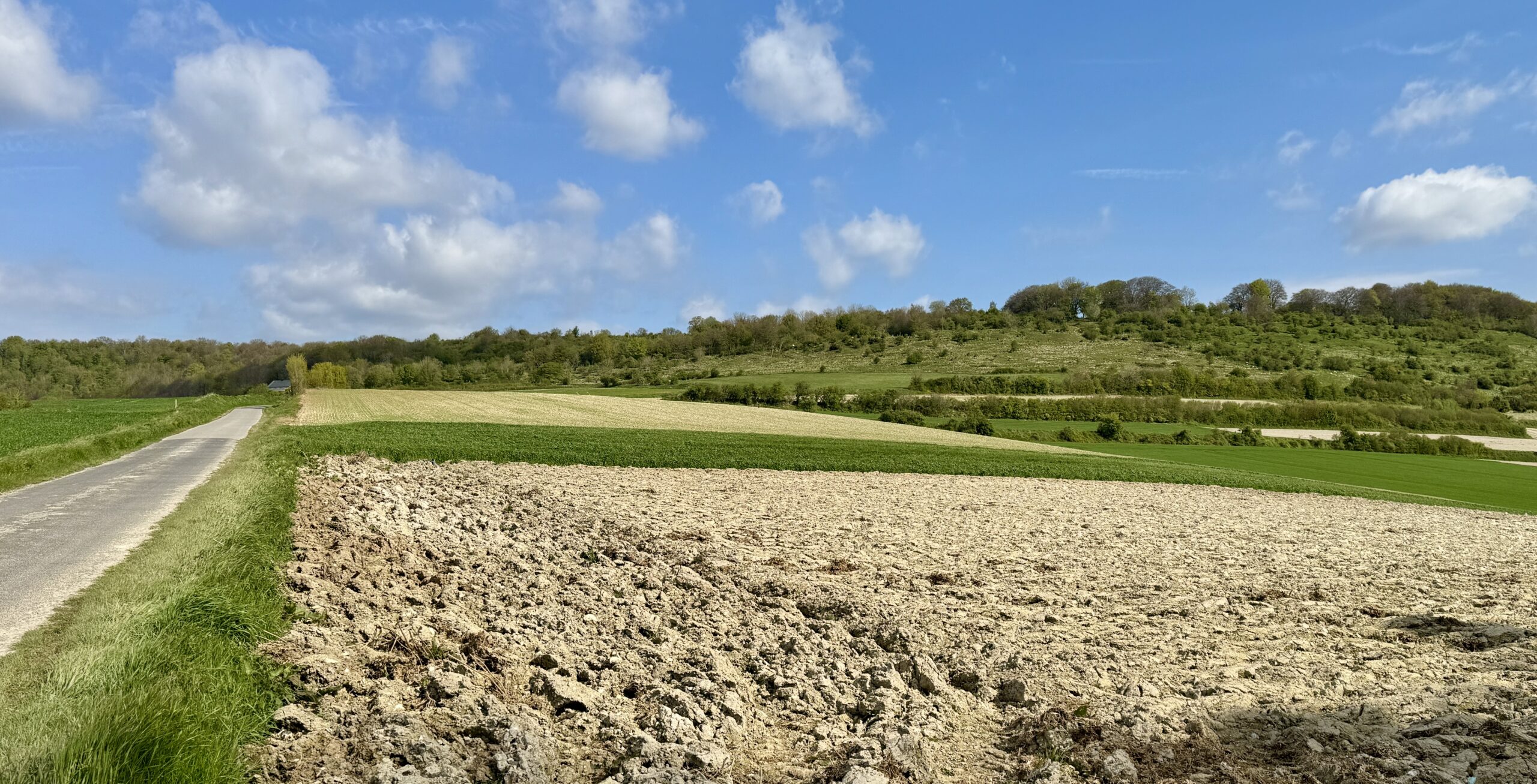
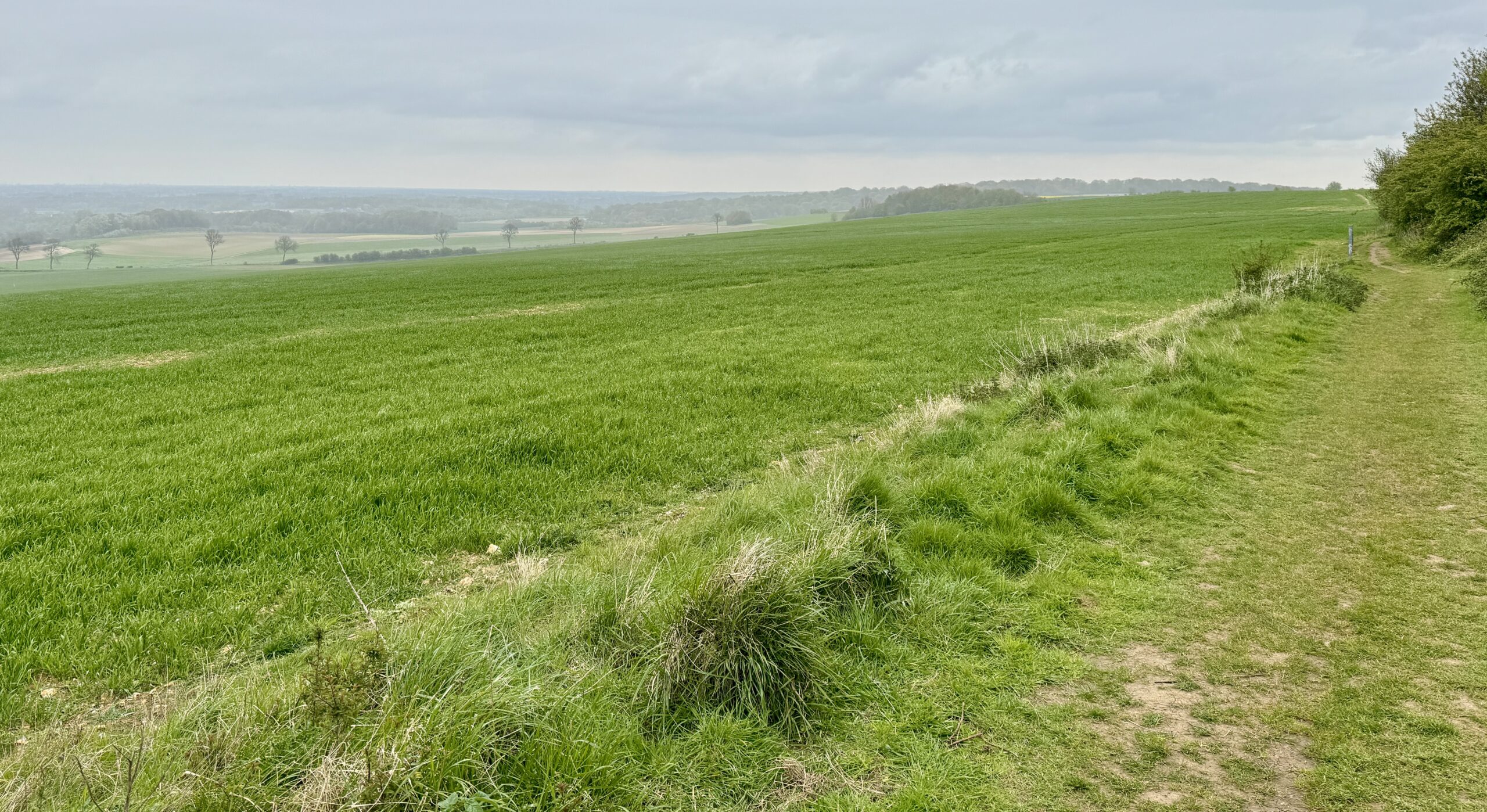
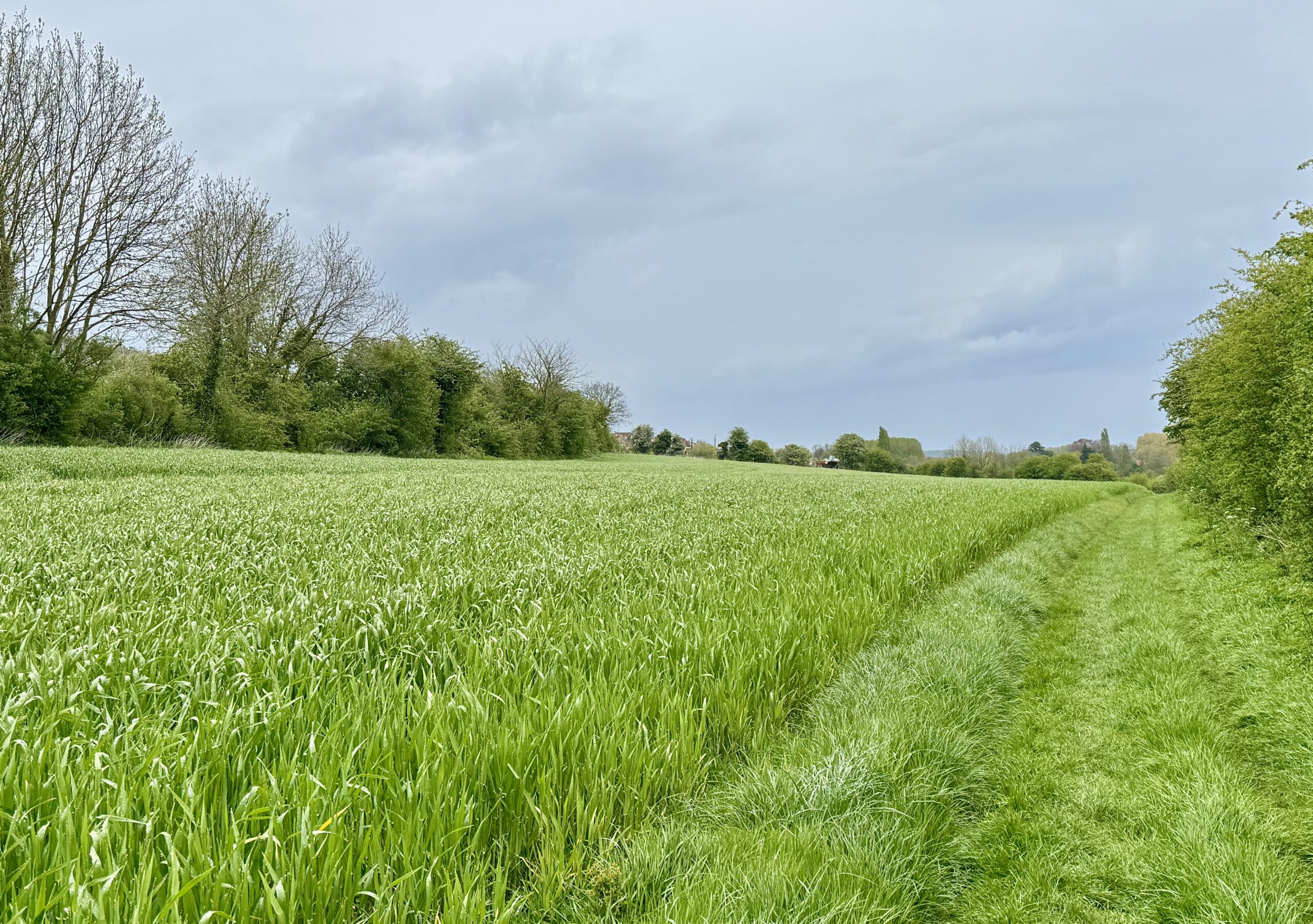
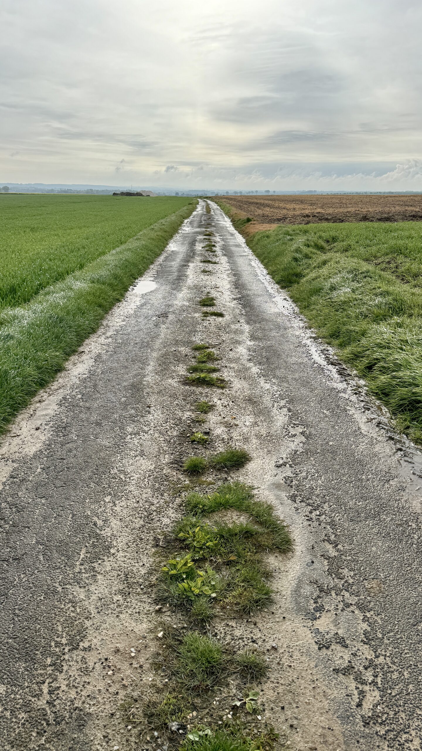
Today’s path often went alongside or between fields. Sometimes, it went straight over them. Now in early Spring, the crops are ankle to knee high. I wonder what it will be like to walk the fields in a few months. Another scene I learned to love in Southern England is the fantastic variety of dramatic cloud formations in the bright blue skies – my iPhone camera did a very good job of catching their drama.
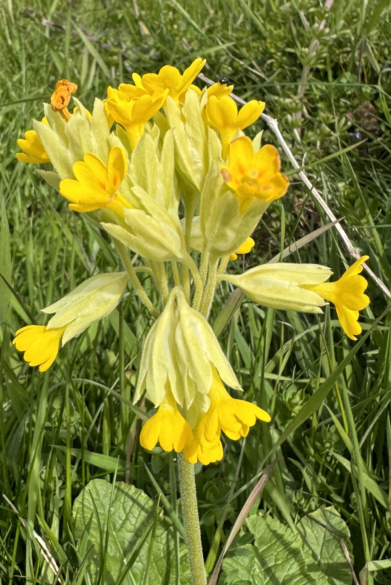
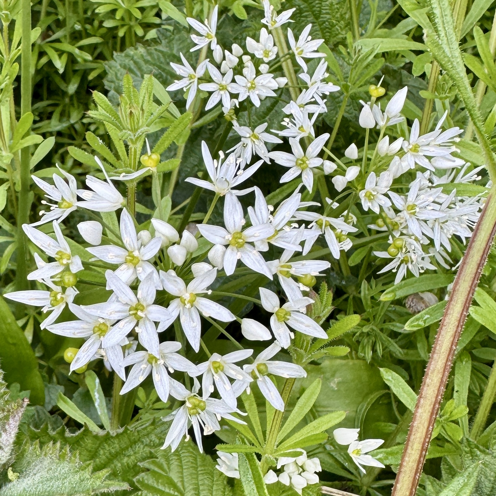
Oh, and I saw Cowslips for the first time this trip.
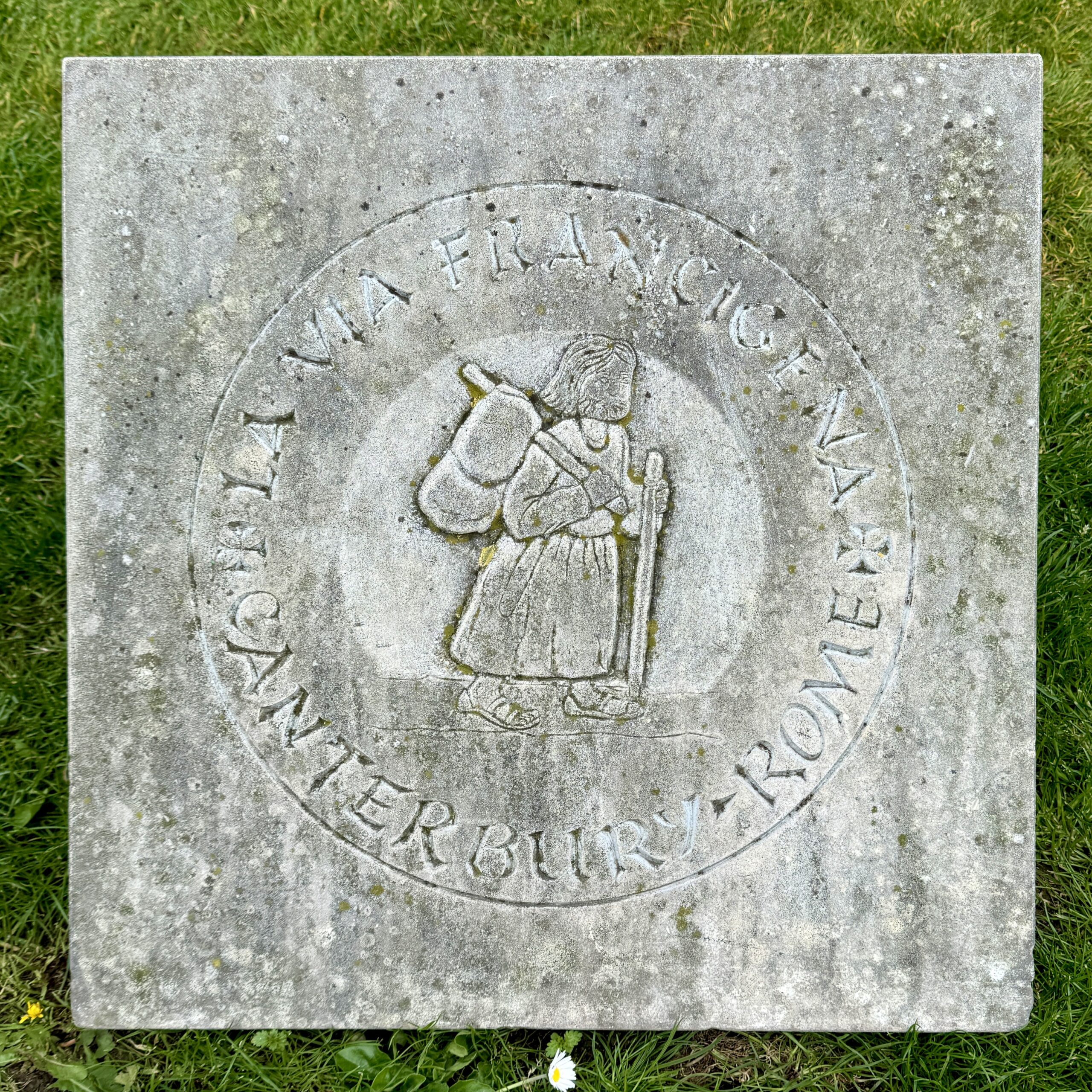
The Pilgrim Stone, from which all distances I walk on the VF will be measured.
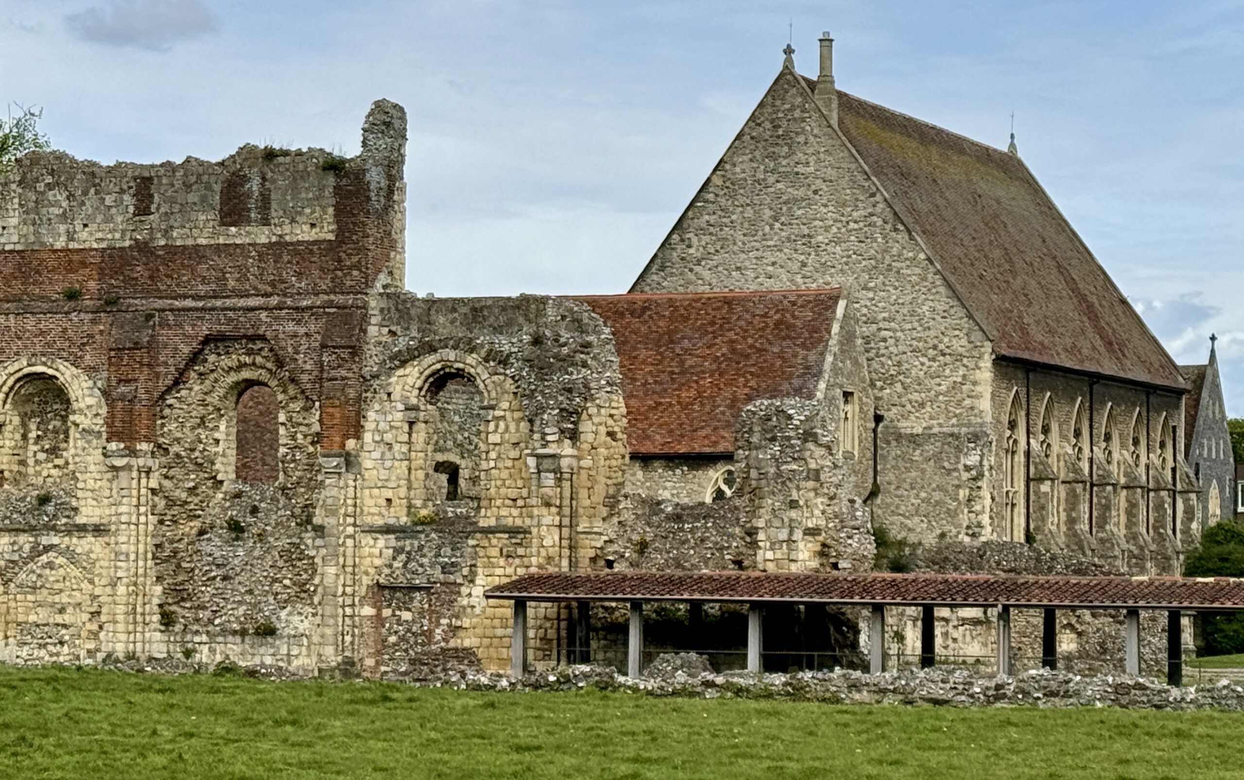
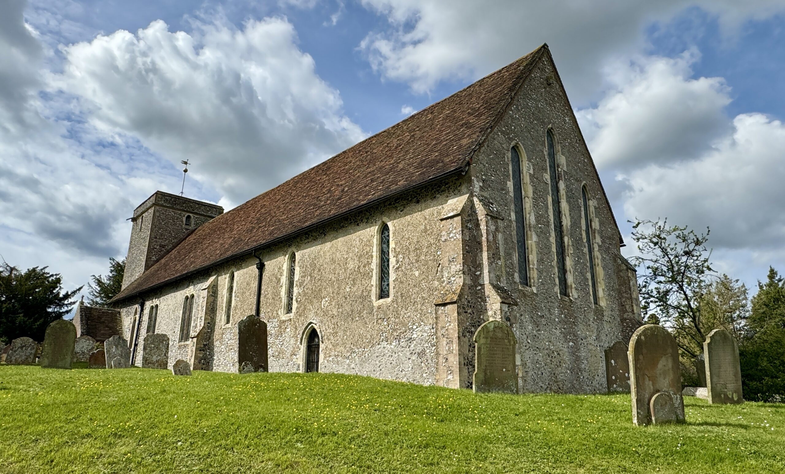
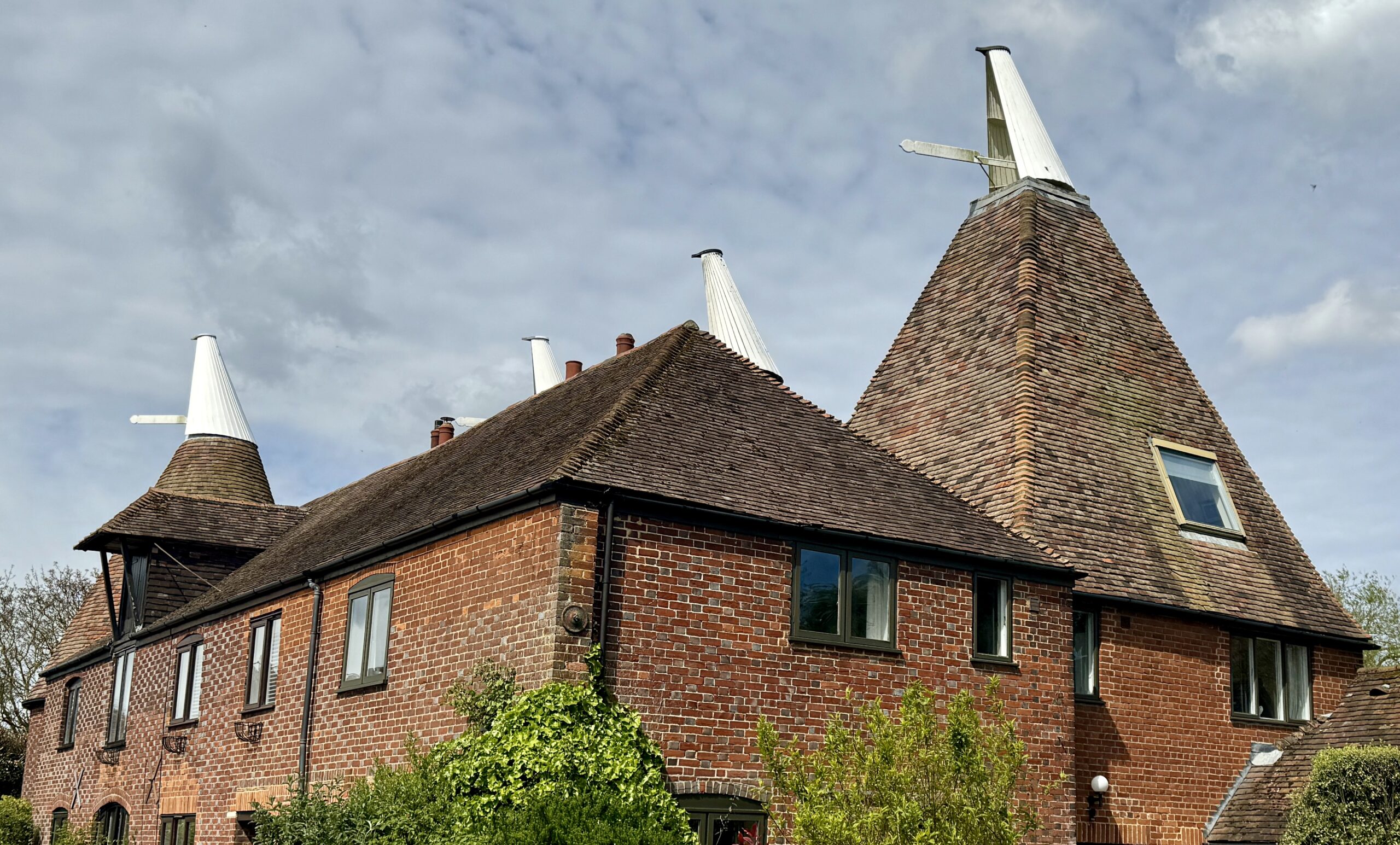
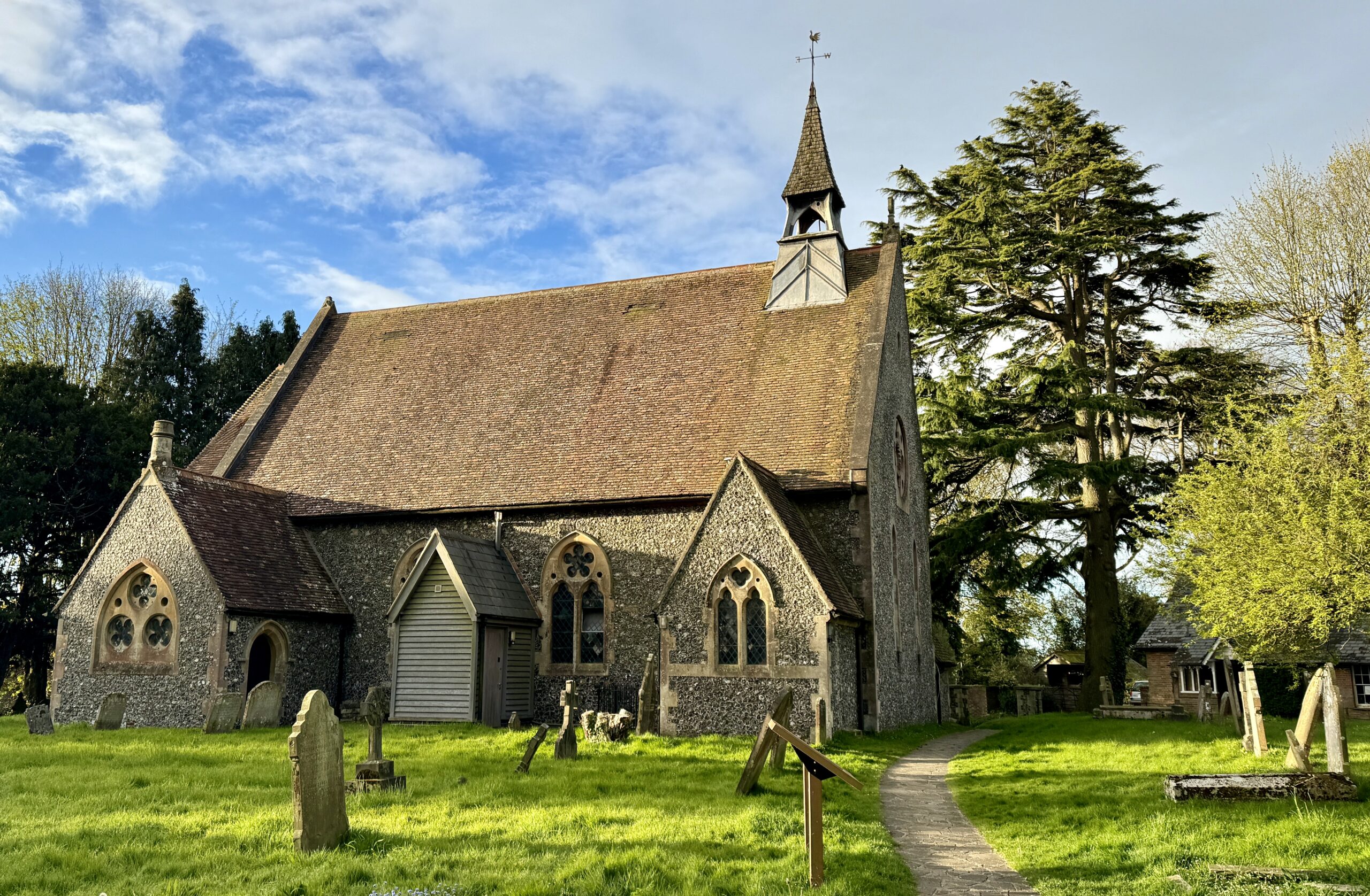
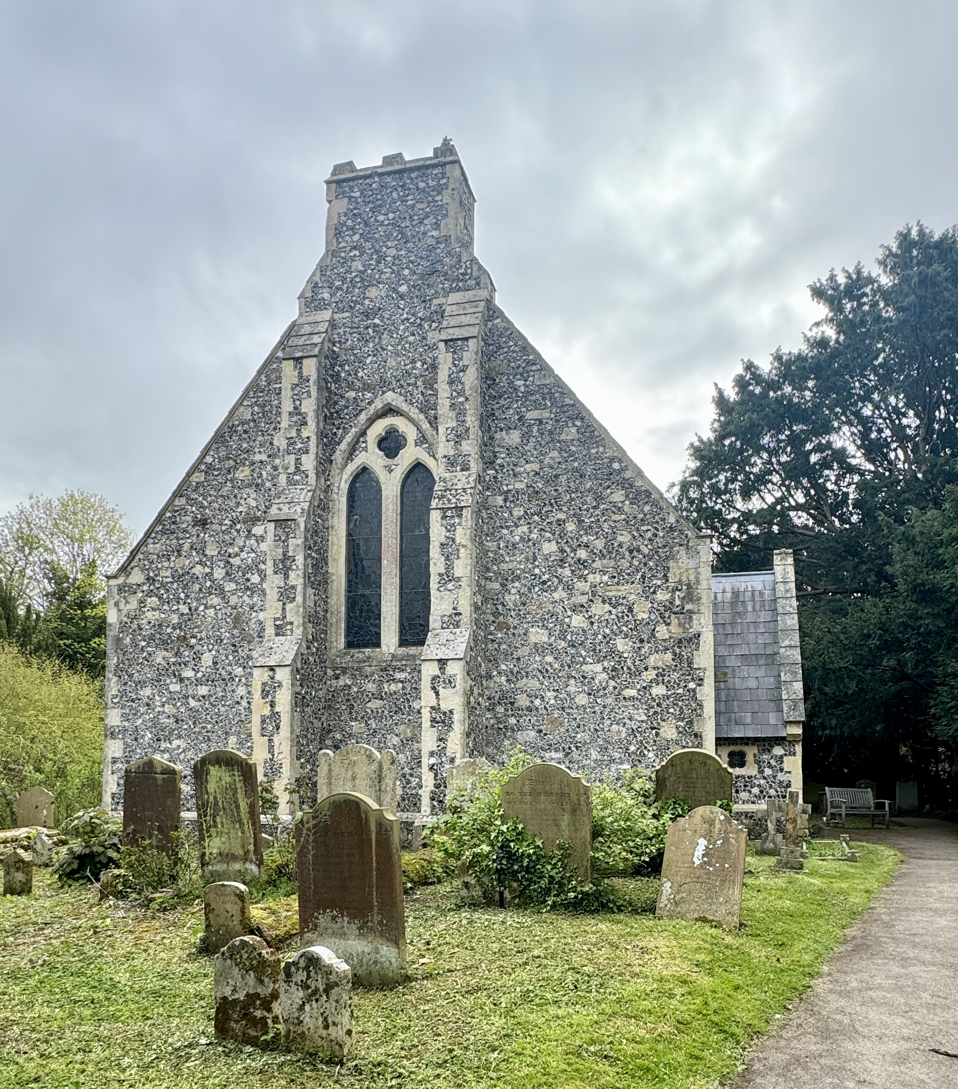
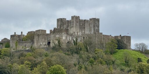
St Augustine’s Abbey was a Benedictine monastery in Canterbury. The abbey was founded in 598 and functioned as a monastery until its dissolution in 1538 during the English Reformation. I expect to see a lot of “old” buildings on this walk. As an American, I will have to recalibrate just what I mean when I call something “old.”
Every now and then on the VF, there are sign boards describing the path, its history, and its current use. I was often surprised to find how few locals understood it to be anything more than a local footpath, despite the map of Europe.
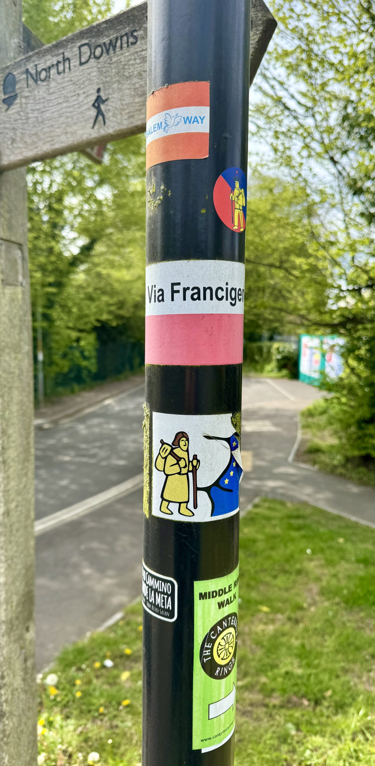
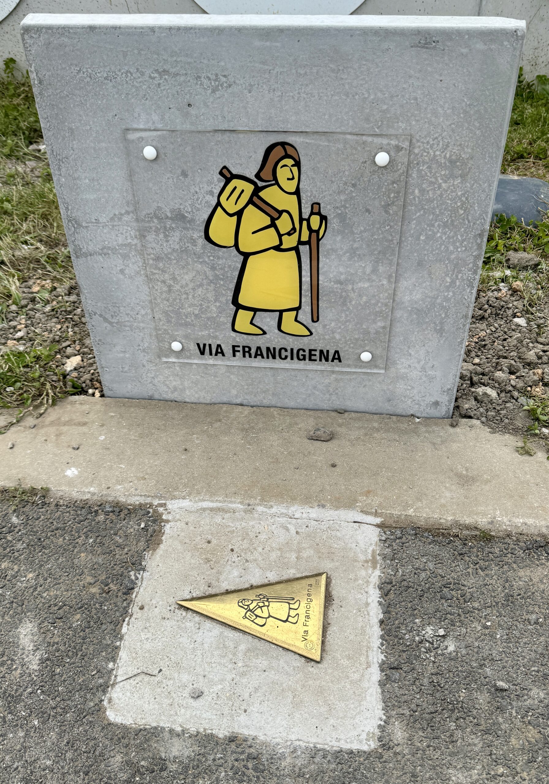
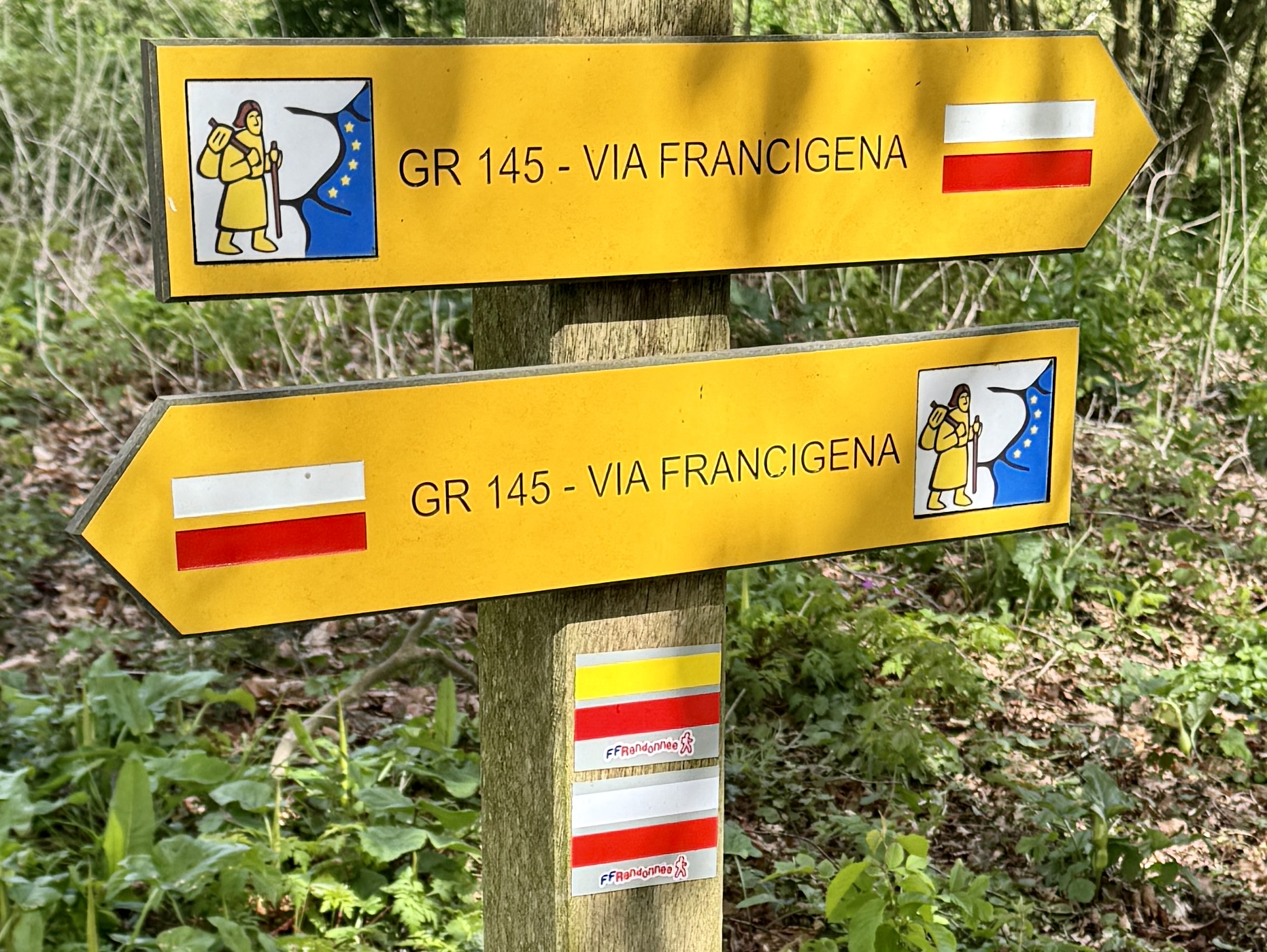
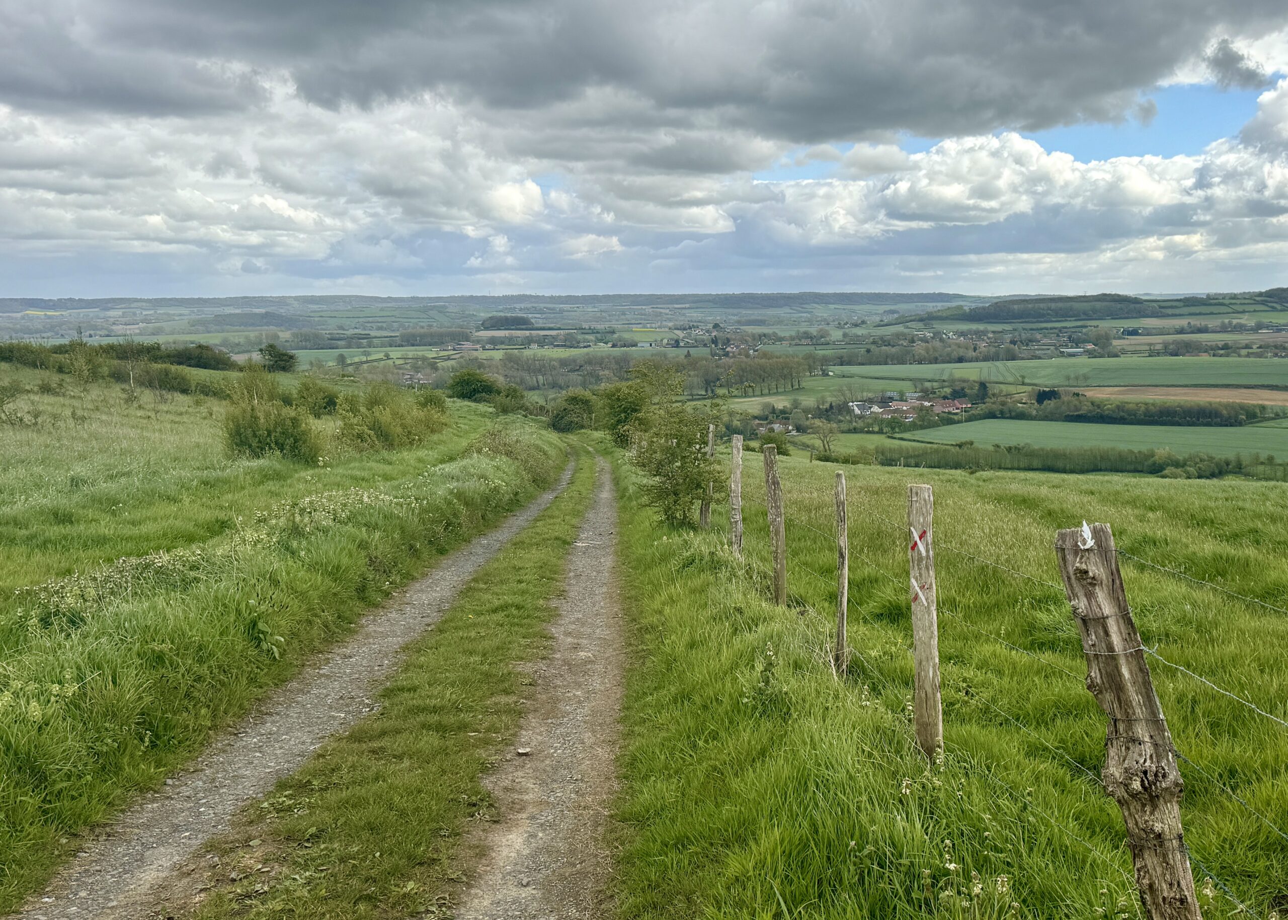
Much more frequent and essential are the small stickers, signs, and painted arrows that confirm my route, or identify other routes that pass the same location. The “little yellow man” is the icon that best symbolizes the Via Francigena – just as much as the scallop shell represents the Camino de Santiago.

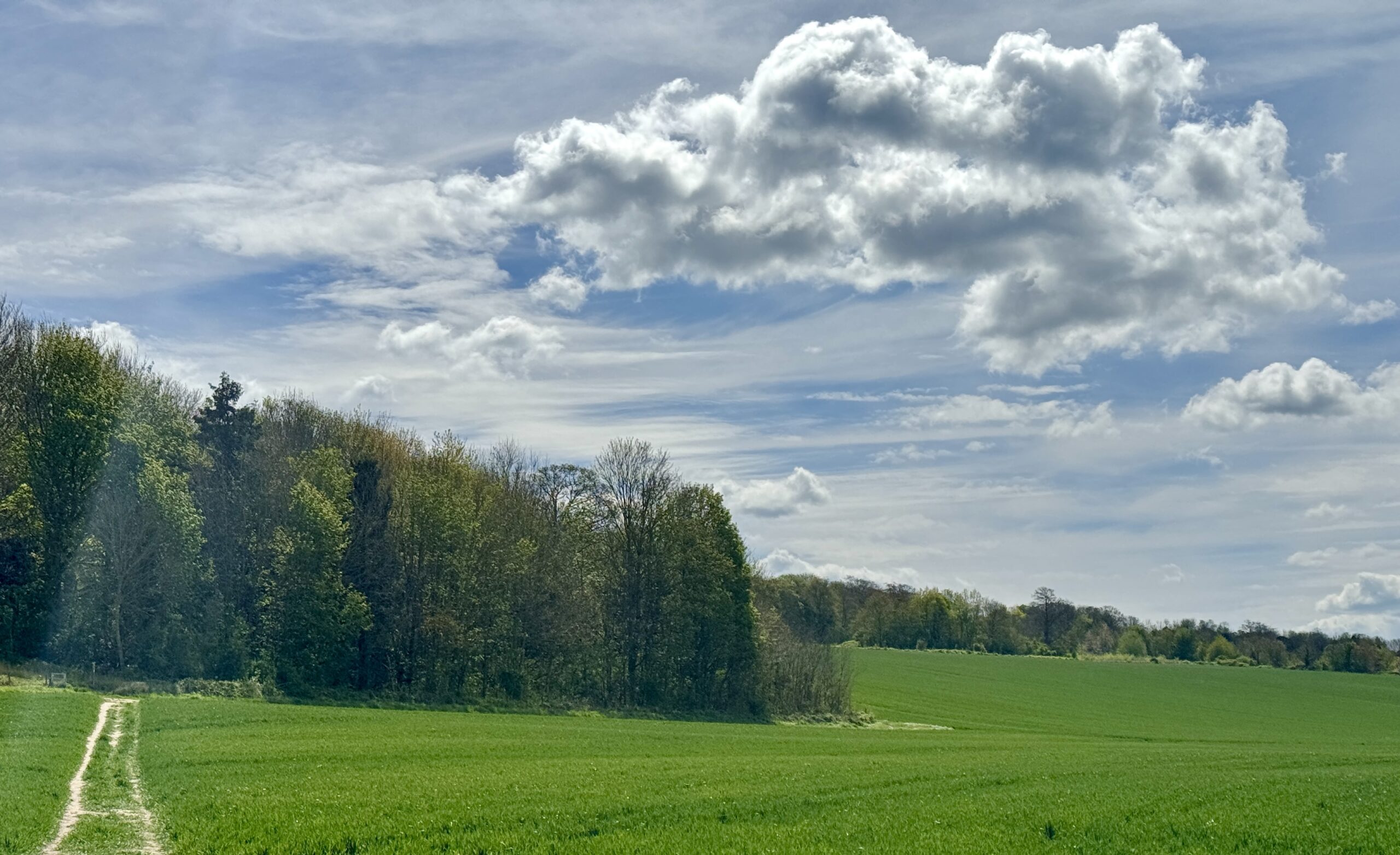
Very quickly, we were through Canterbury’s residential neighborhoods and back into the fields.
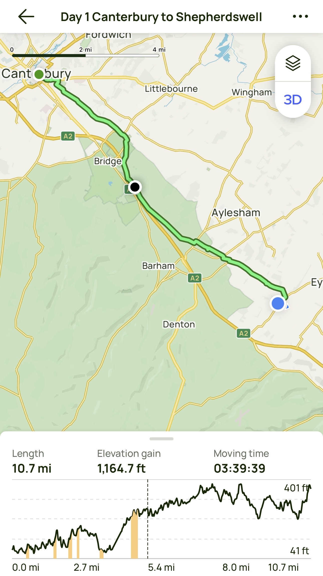
Day 1 AllTrails Stats
Distance: 17.3 km / 10.7 miles
Elevation Gain: 355 m / 1,165 feet
Steps: 26,526
Relive: https://www.relive.cc/view/vRO7eoYY3Kq
Accommodation: Private home, Shepherdswell
It was a great start on my penultimate day in the UK. Tomorrow: the coast, the channel, and France!
Day 2: Shepherdswell to Dover (Calais)
My last day in England started early. I had pre-booked passage aboard the 1:45pm ferry across the English Channel to France, and expected it would take me about 4 hours to walk to the coast. Additionally, I knew I had to arrive at the terminal at least 90 minutes before departure, and that the route from Dover town center to the check-in was confusing and hazardous. True enough, in a congested area designed only for motor vehicles and devoid of pedestrians, I made a couple of wrong turns (or rather, Google Maps misguided me), so I was glad I left some wiggle room in my schedule.
To reduce illegal migration, the UK government actively discourages foot traffic over this border. As a result, only one of the many ferry companies allows “foot passengers,” aka pilgrims, and then only on two of their ferries each day, with a limited number of passengers per voyage, and only if tickets are purchased at least one day in advance. Whew! Did you get all that? I am pleased that my guidebook presented all of this information accurately – it took a bit longer than I expected, but not any longer than I had allowed for. Rarely, on a long walk like this, do I ever have to think about this much detail. A pilgrim’s life is a very simple life: walk, eat, sleep, repeat.
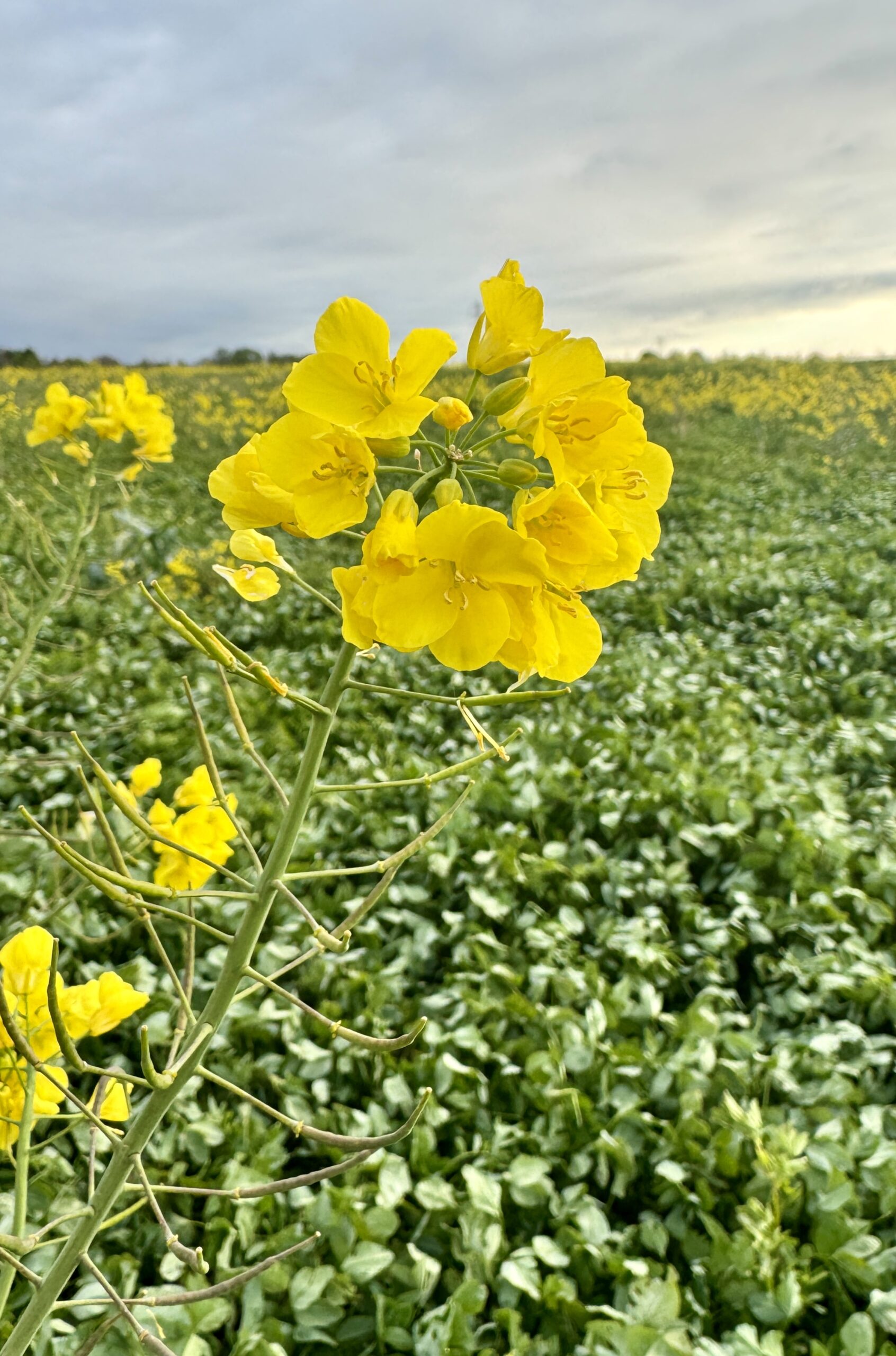
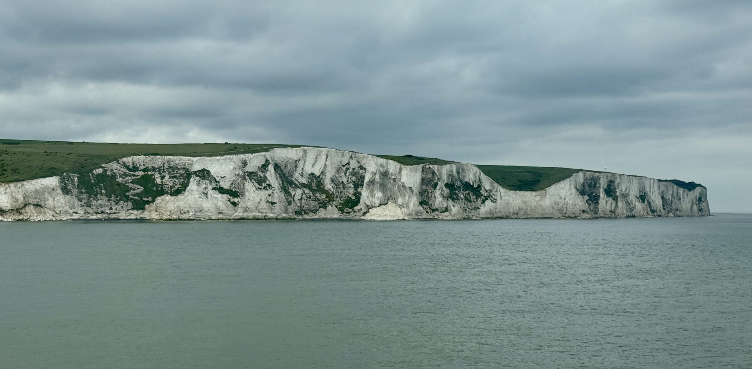
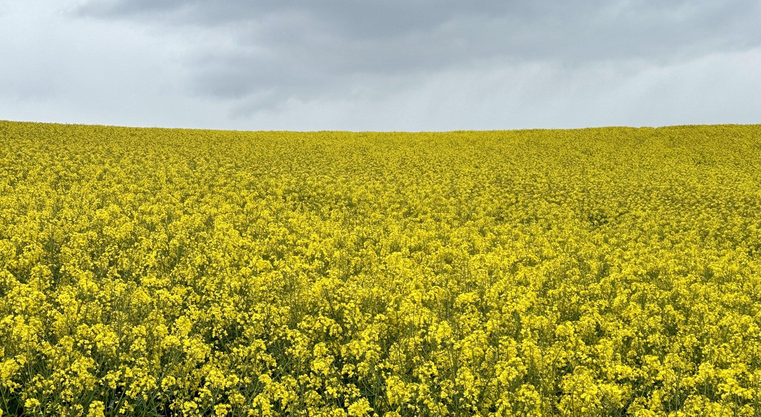
The walk itself was very familiar, and I was happy to finally see a Rapeseed plant up close and catch a picture of the Wild Garlic that I had often smelled but had never seen over the past three weeks. Another unique highlight was my first glimpse of the sea since walking in this hemisphere.
A common feature of traditional pilgrimage routes is a “pilgrim’s passport” or “credential,” into which one collects “stamps,” the ink markings of a rubber stamp. Paraphrasing Wikipedia,
Most pilgrims purchase and carry a document called the “credential,” which gives access to overnight accommodation and other benefits along the route. Also known as the “pilgrim’s passport,” the credential is stamped with the official rubber stamp of each church, lodging, restaurant or bar that the pilgrim visits. It provides pilgrims with a record of where they slept or ate and serves as proof to the Pilgrim’s Office at the ultimate destination for the pilgrim to be awarded a certificate of completion.
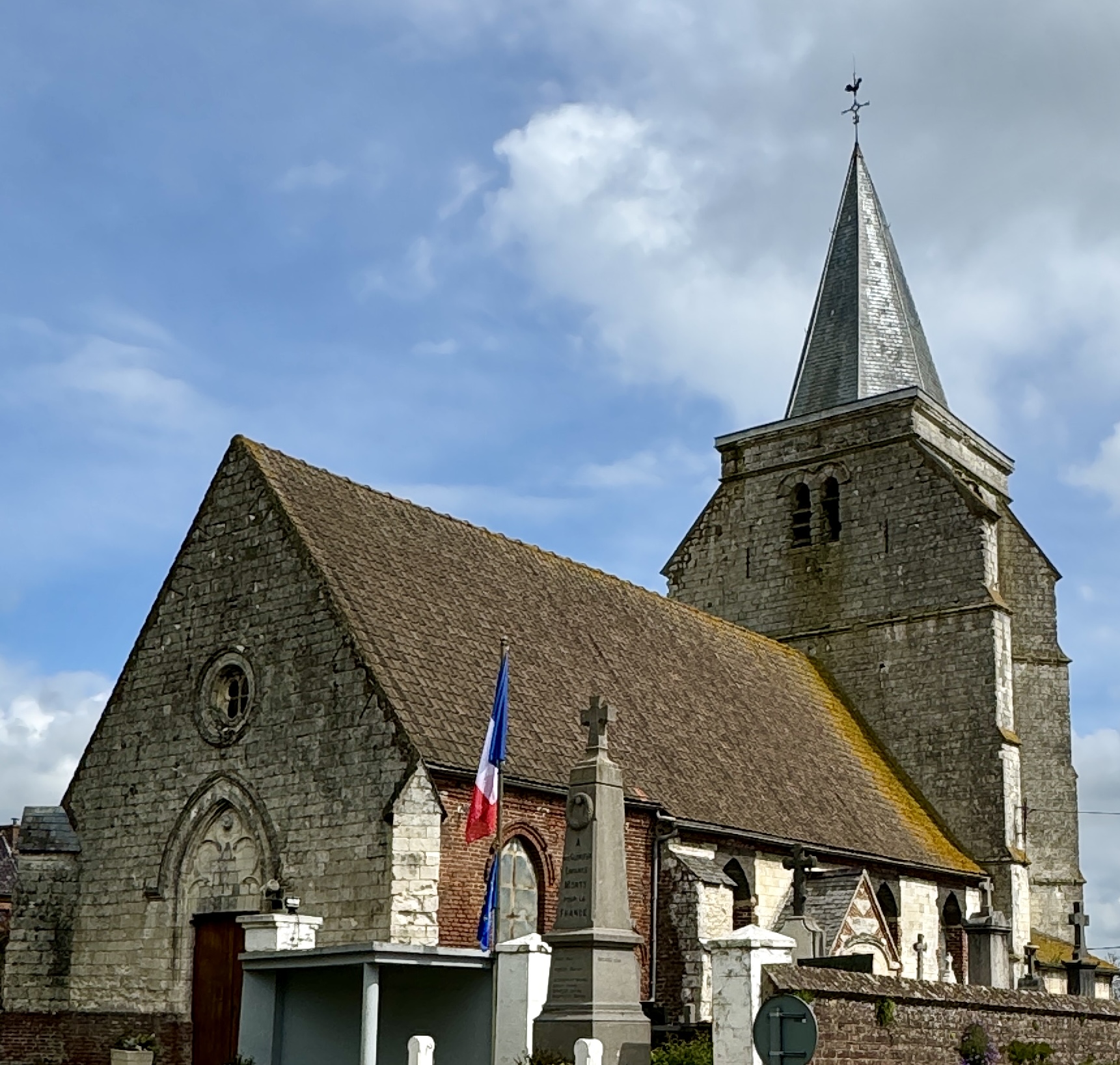
This system works very well along the better-known routes of the world, but not so well on the less-popular Via Francigena. It will surely improve as awareness of the VF grows and more walkers set out on its trails. It will also be helped when the numerous churches along the way open their doors at times other than for weekly services. More churches I passed today were closed than open, and I expect that will continue throughout much of my walk.
My first view of the ocean at the English Channel.
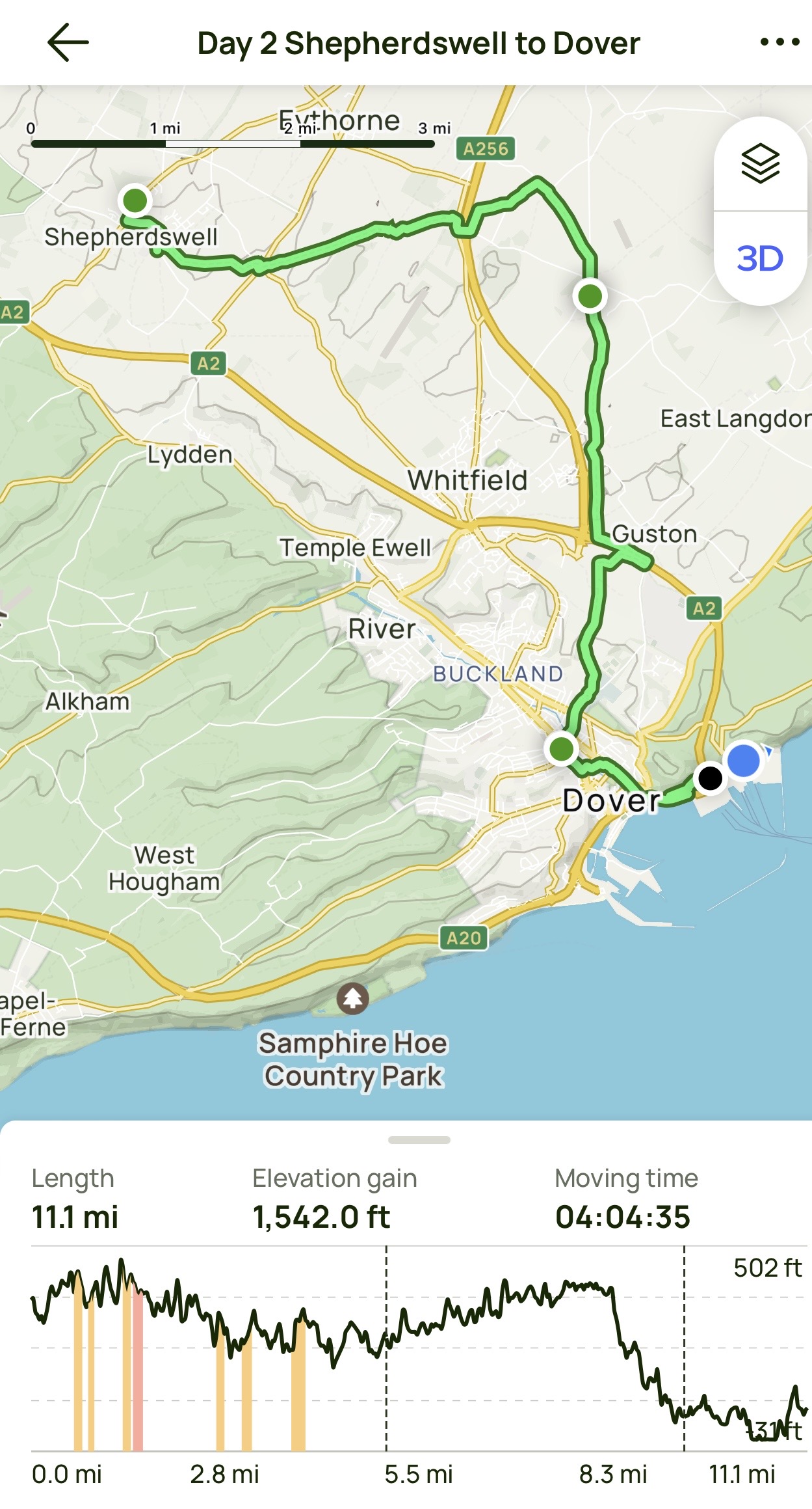
Day 2 AllTrails Stats
Distance: 17.9 km / 11.1 miles
Elevation Gain: 470 m / 1,542 feet
Steps: 31,750
Relive: https://www.relive.cc/view/vrqo5eRnNyO
Accommodation: Hotel Meurice de Calais
As I crossed the English Channel to France, I wondered how many times I’ve traveled between these two countries in my life. Too many to count, but none for many years. I am reminded of Heraclitus, ≈500 BCE:
No man ever steps in the same river twice, for it’s not the same river and he’s not the same man.
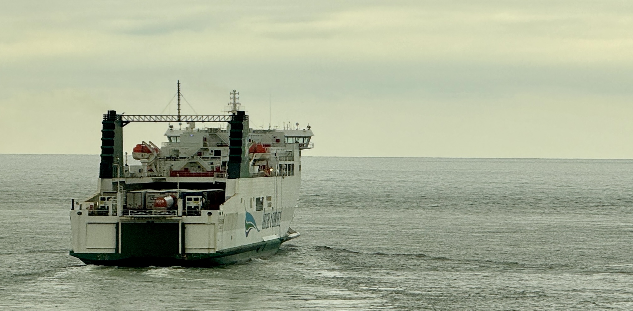
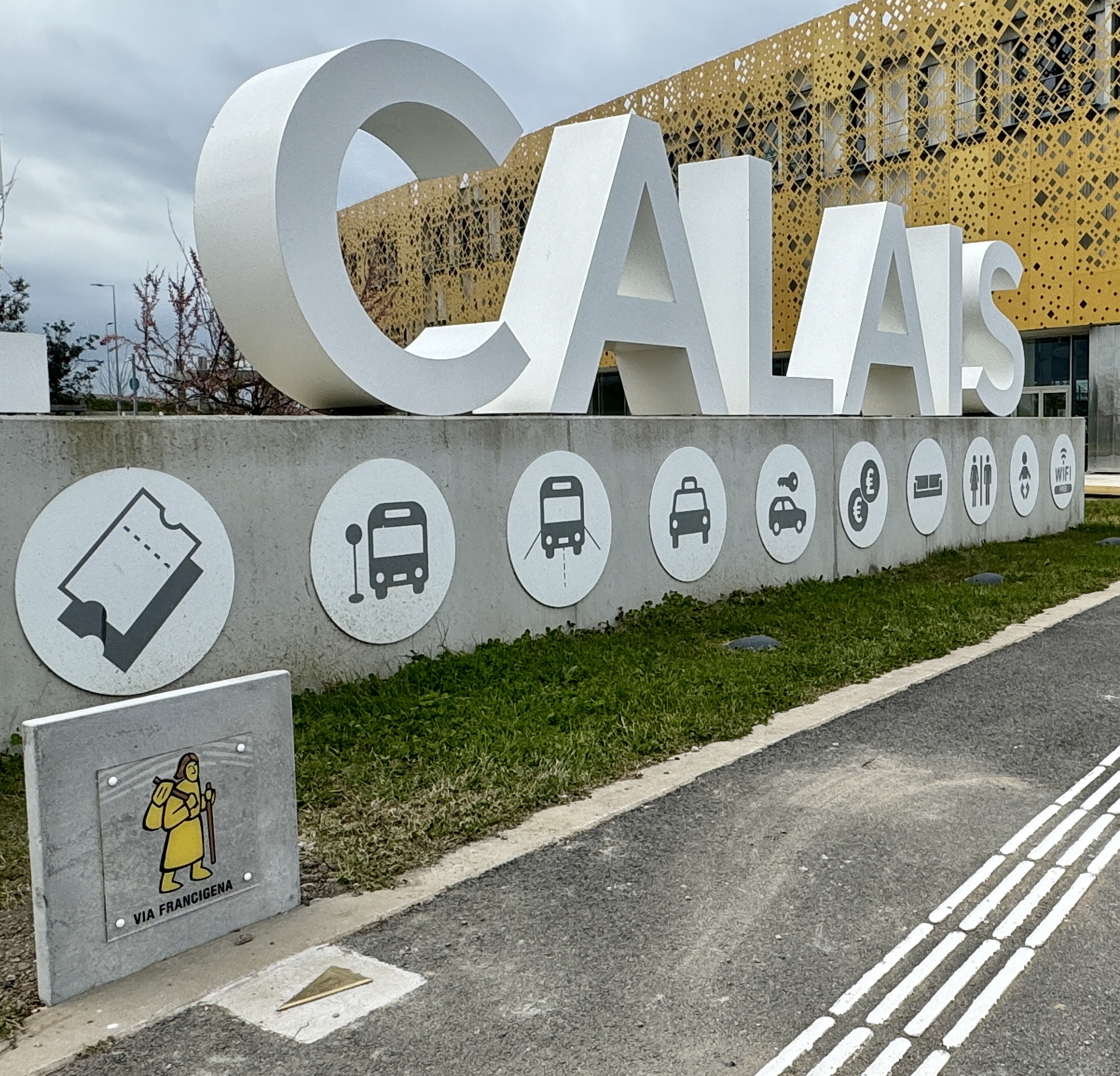
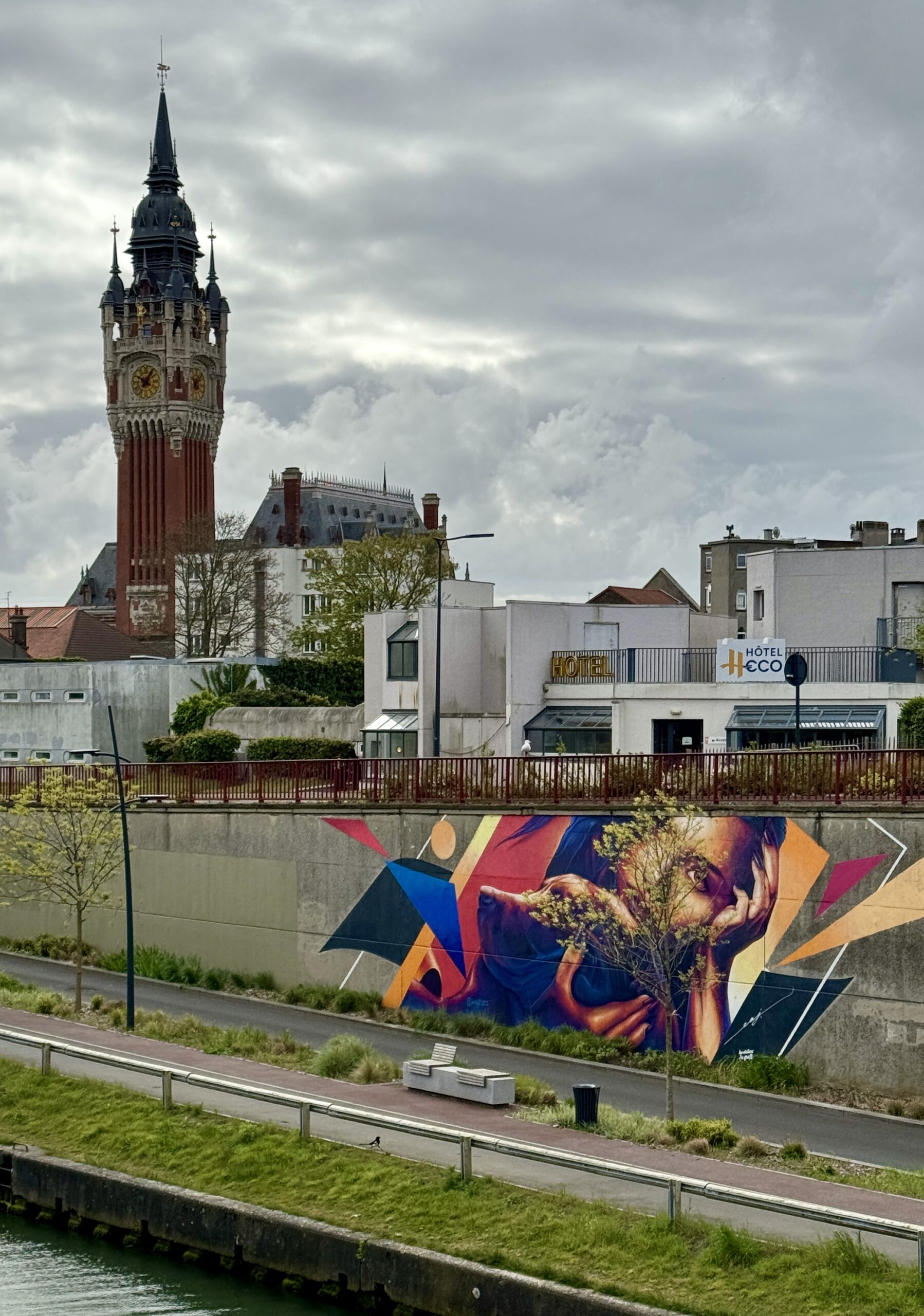
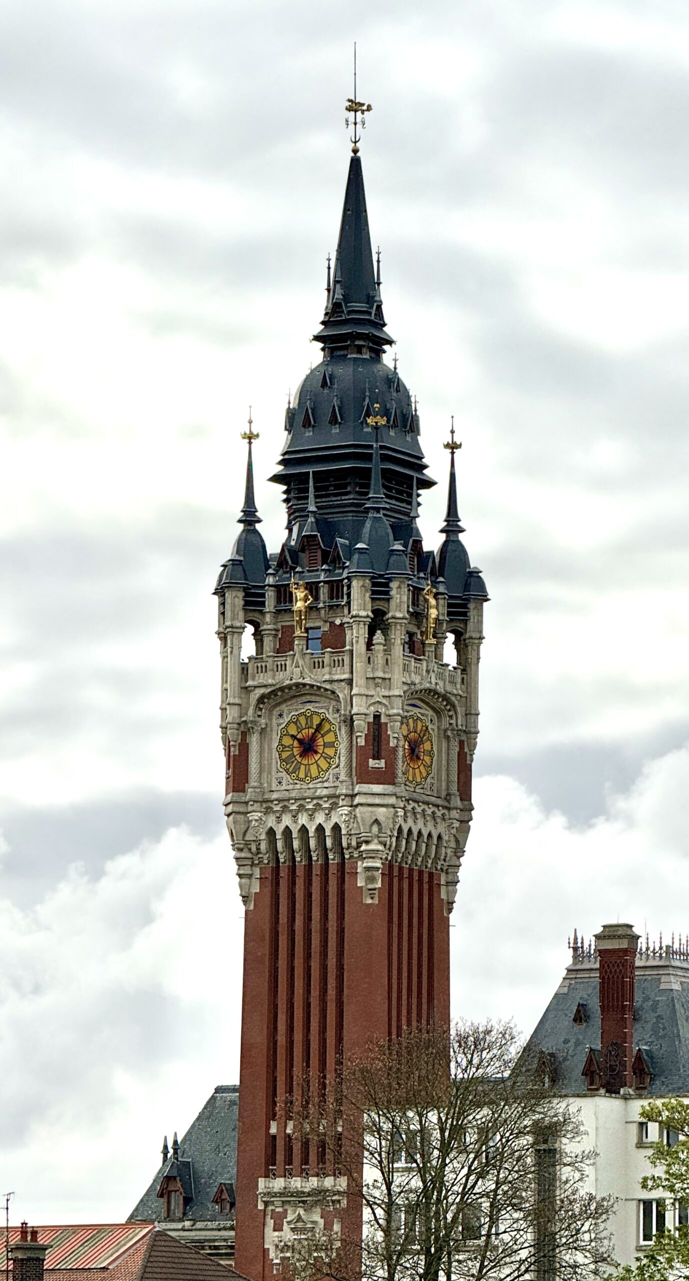
It is nice to be back in France, and I hope my tongue starts to wrap around the language again soon. I was particularly encouraged to find a VF sign right away, until I realized that it’s actually impossible to walk out of the port on foot. The free shuttle dropped me off in the city center, where I checked into my accommodation before exploring the town and eating the first of many delicious French meals to come!
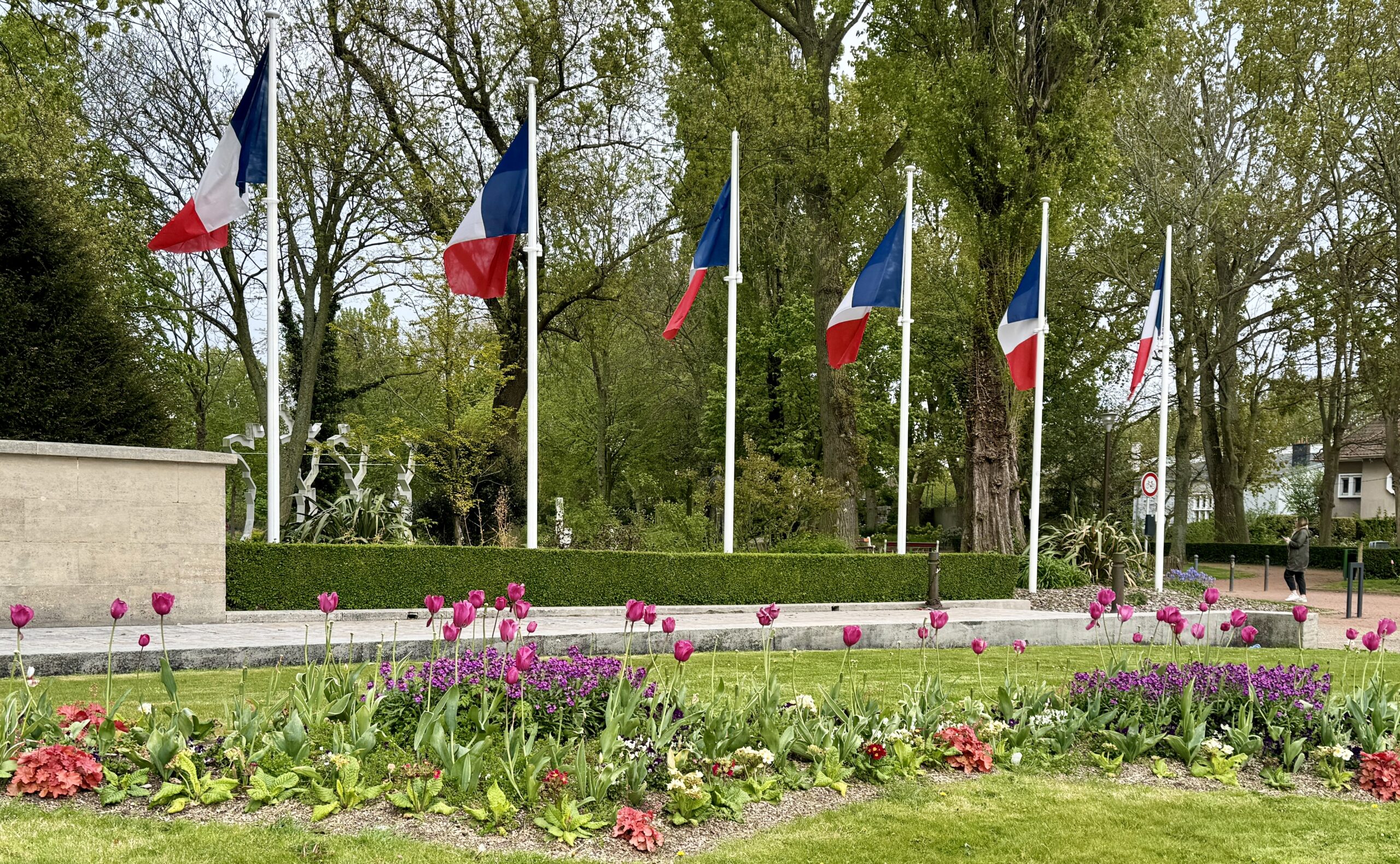
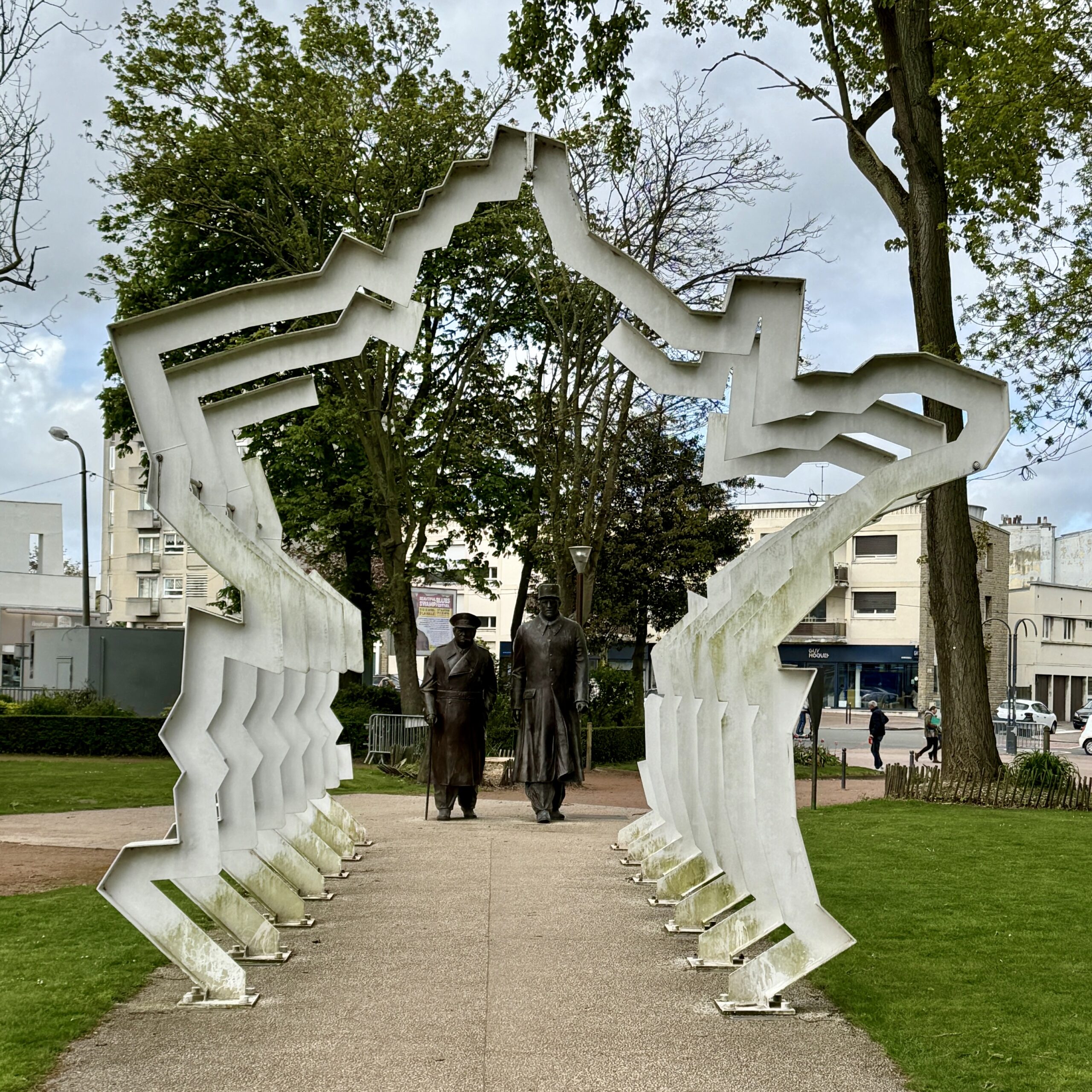
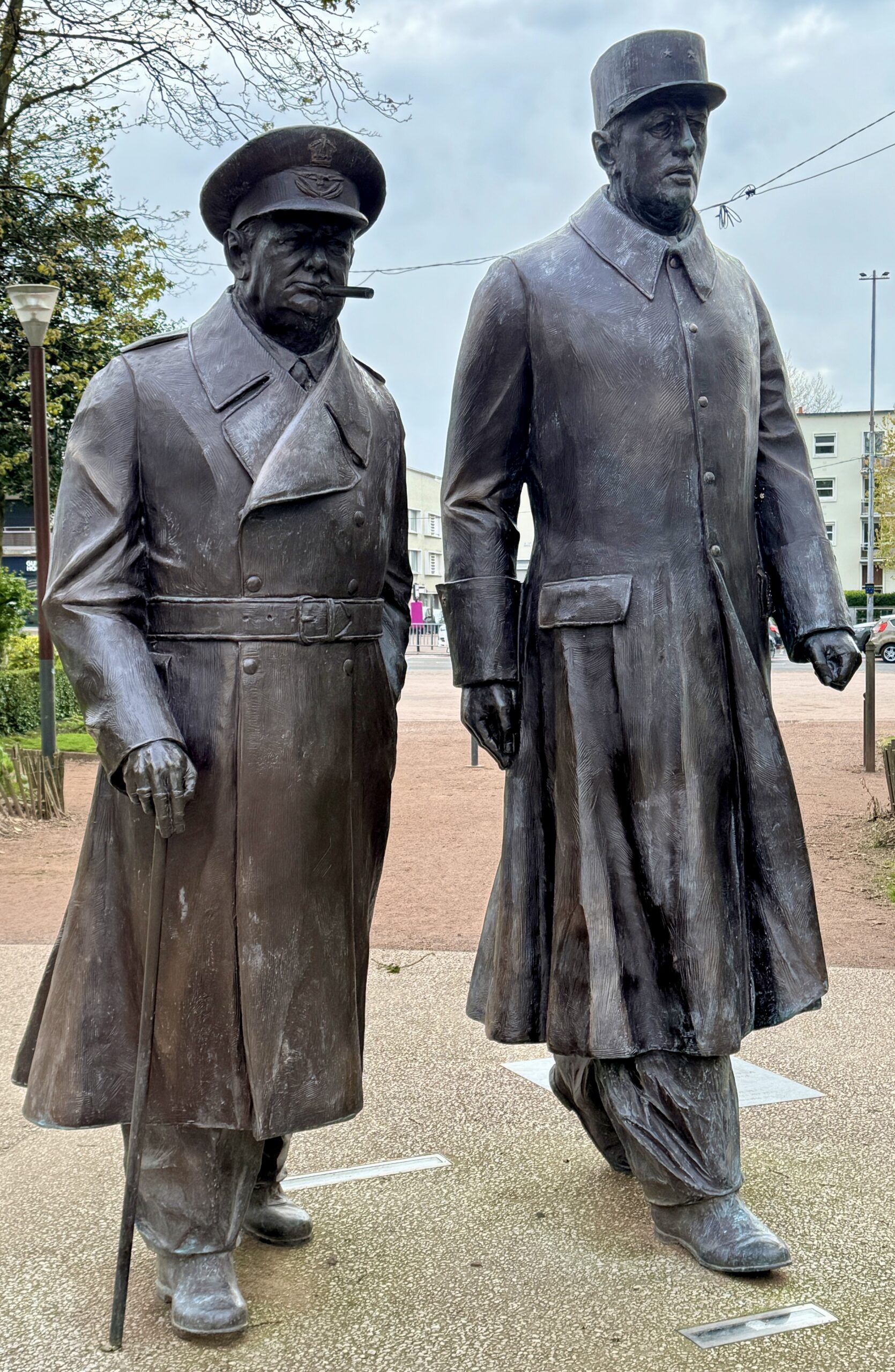
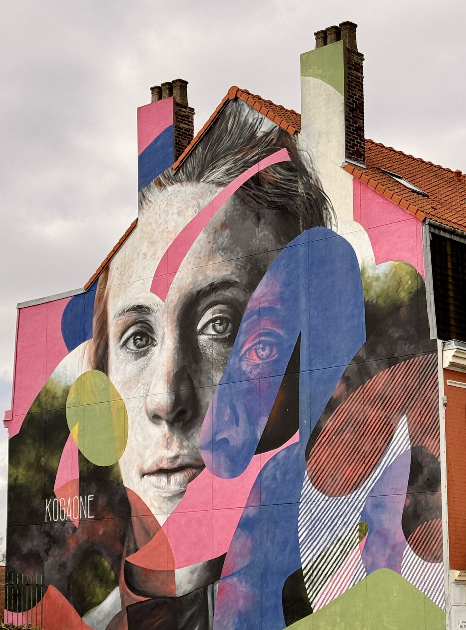
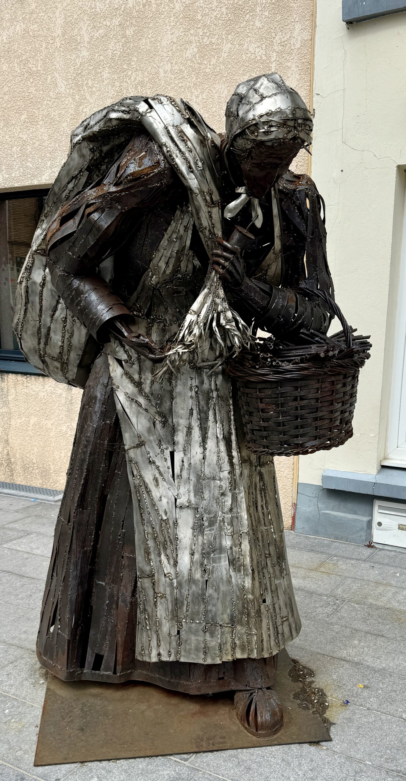
Public Art
Tonight, ready to start walking on the continent again, I have a big decision to make. But first, I’m going to sleep on it…
Day 3: Calais to Licques
My first day walking in France became a long one, as I decided to bypass two standard stages and walk the combination of two others. Why? Because I had a predicament:
The standard VF routing from Canterbury to Rome is 105 stages, of which only the 2 in England are outside the Schengen Area countries. This means that I have 90 days on my Visa to walk 103 stages, not allowing for any rest days or “tourist” days. If I’m going to make it all the way in one trip, I need to walk faster and further than the standard pace, aka “doubling up,” or I will have to cut some distance out completely. I chose the latter today and swapped two sides of a triangle to take the remaining side (plus the next stage, from Guînes, as well).
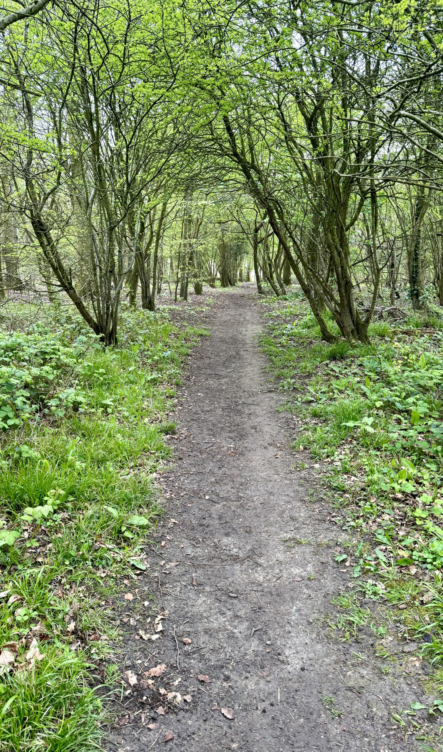
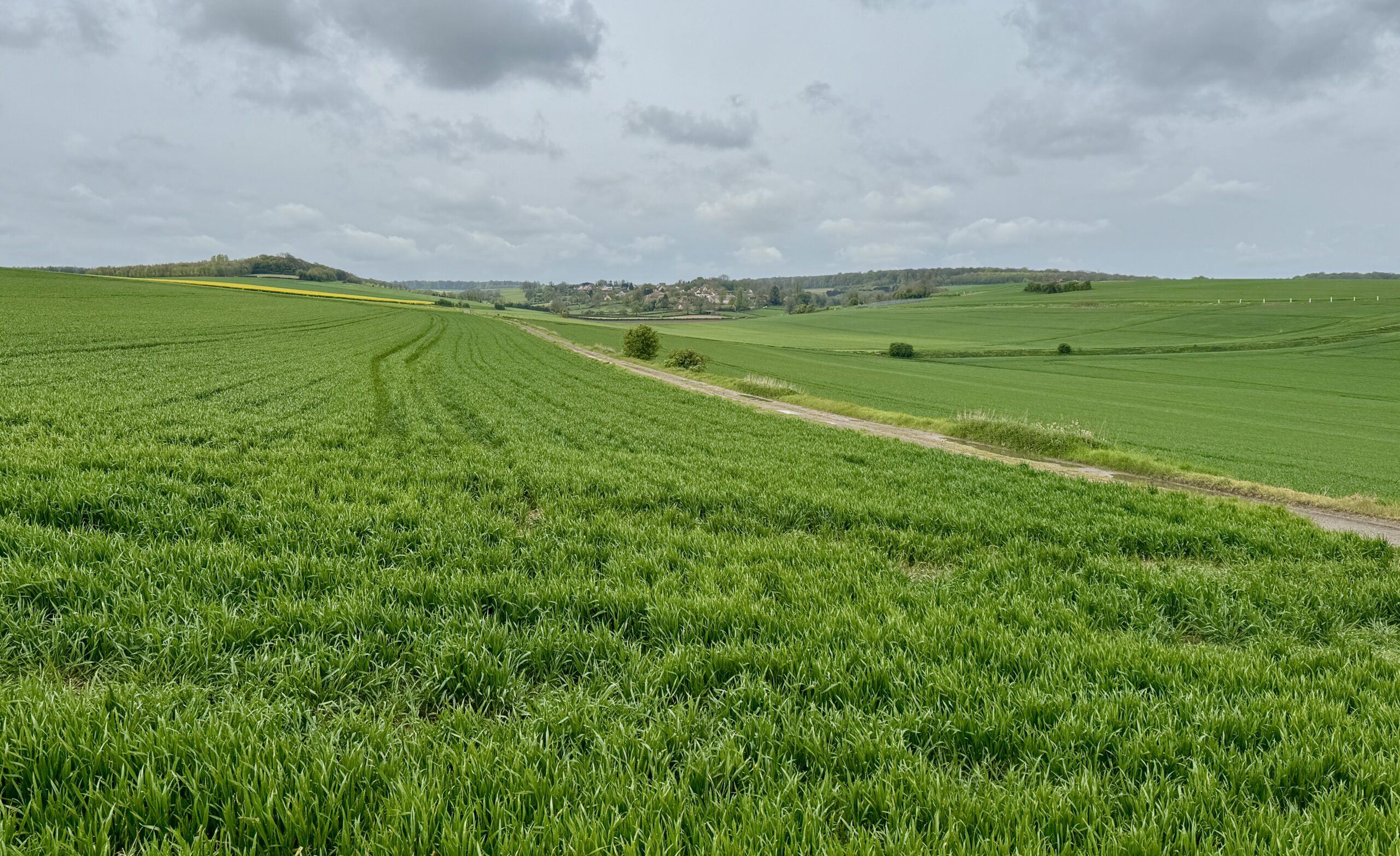
This doubling-up of stages meant some unattractive urban walking out of the port city this morning, rather than the scenic coastal path, but soon enough I was out in the fields and woodlands again. My warmup trek on The Pilgrims Way over the past 2 weeks has prepared me well for this, and I ended the day feeling strong.
For most of my walk through France, I will be following the “little yellow man” on these signs for the VF variant known as the GR145. It’s more the “scenic route” than the “historical route” laid out by Sigeric in 990AD, but gets me where I need to go – and all on foot.
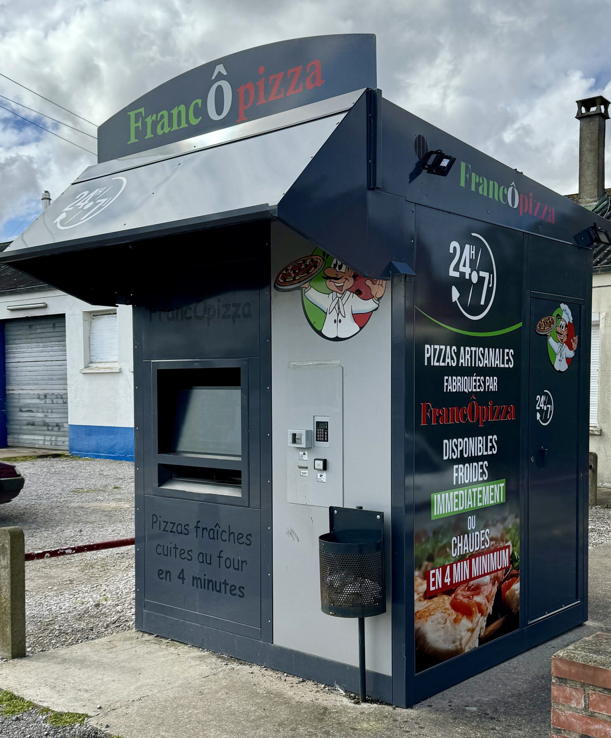
I had read in my guidebooks about the popularity of these food kiosks along the Via in France, usually serving re-heated pizzas. I always assumed I would prefer freshly cooked meals from a restaurant or café, but I soon learned that’s not always an option. I wonder if I’ll ever bring myself to eat out of one…
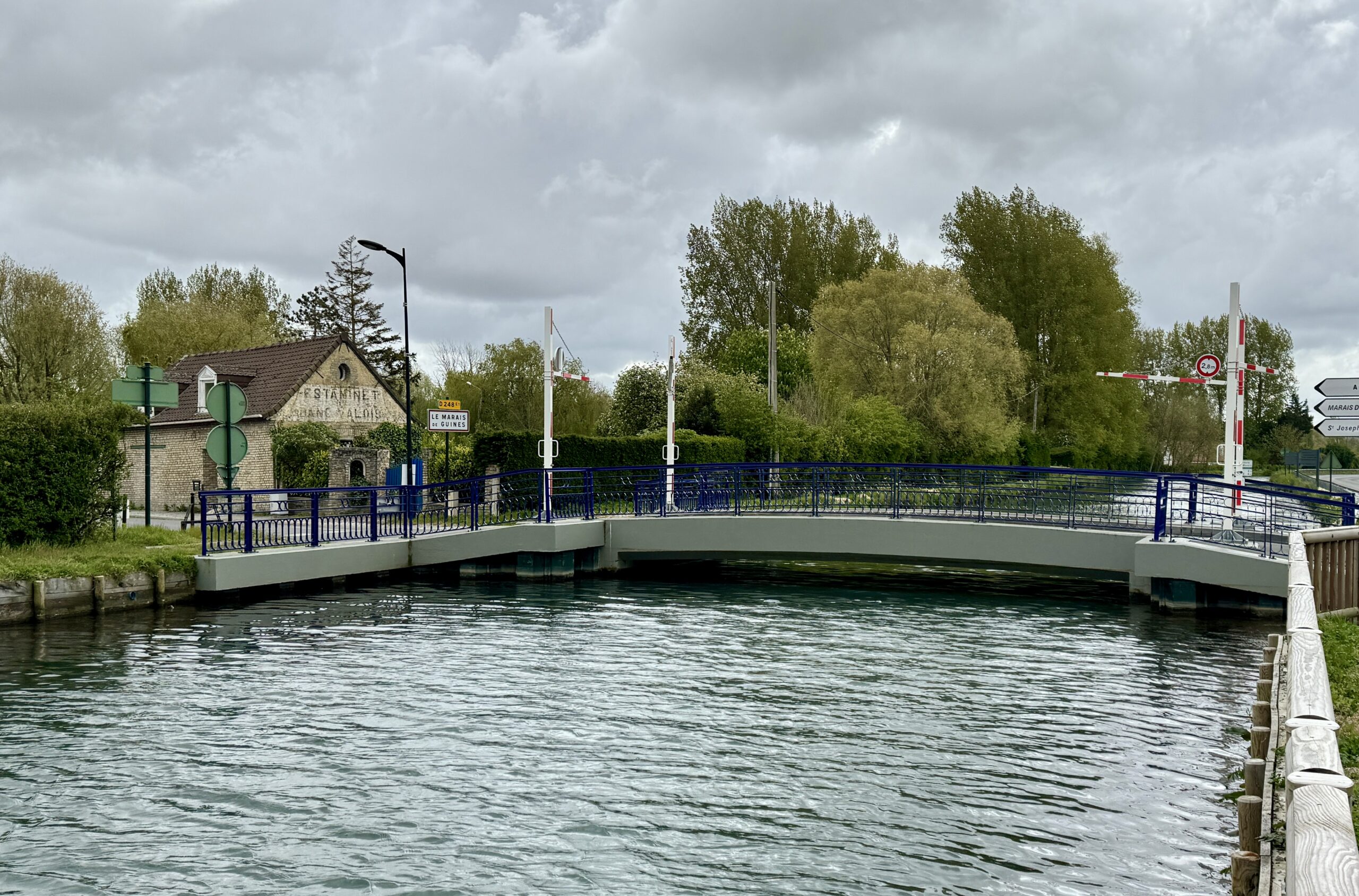
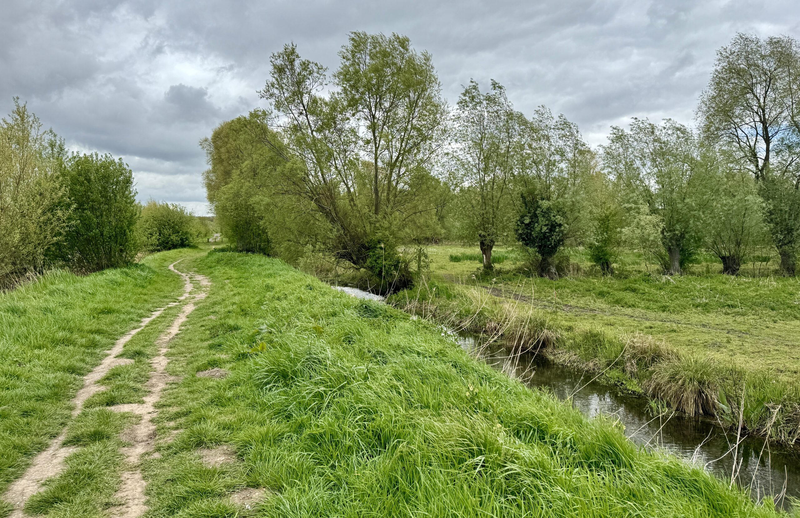
After the uninspiring urban walk from the city, the canal helped to improve the view.
When on the farm, sometimes you just gotta do what ya’ gotta do.
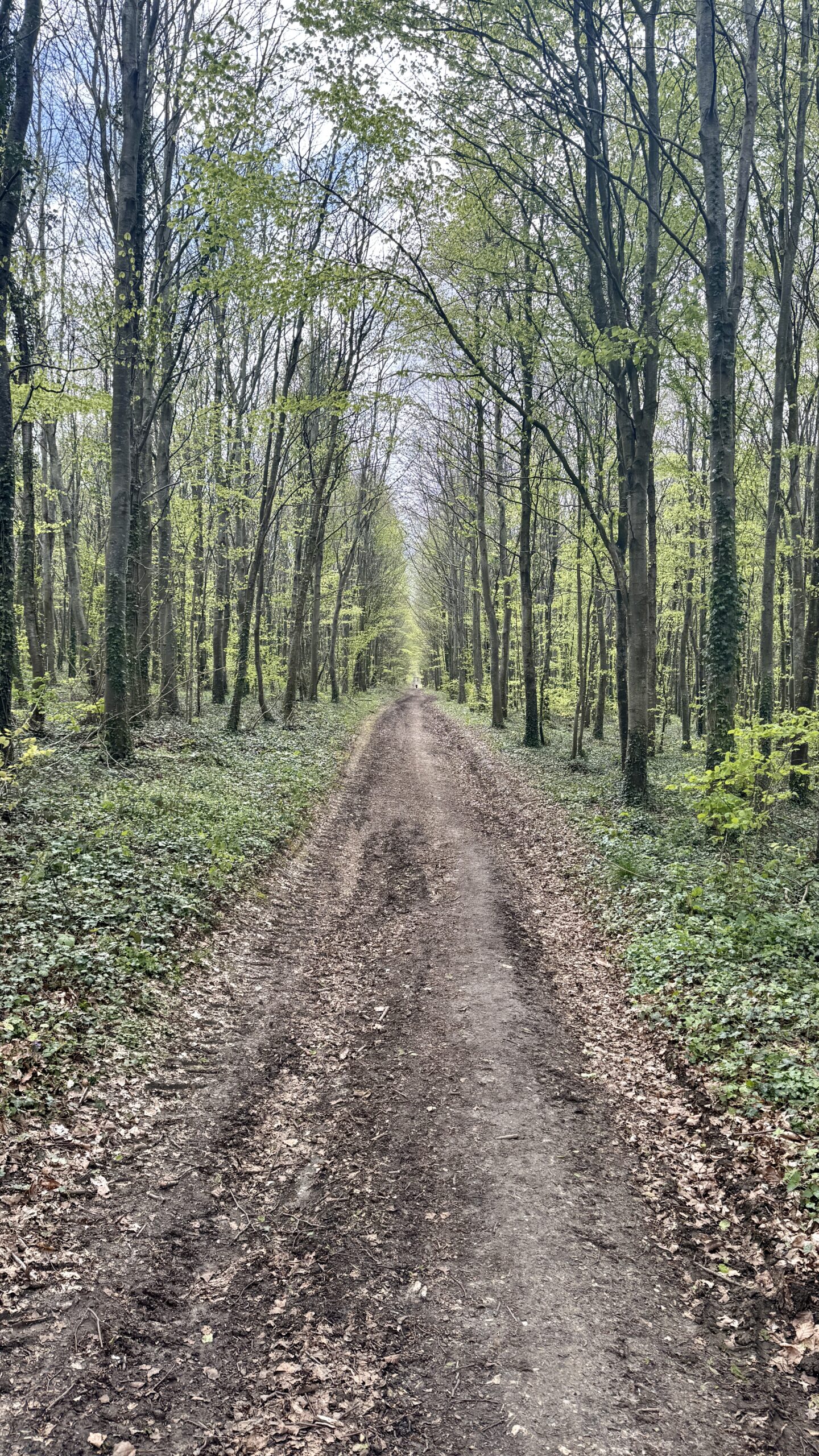
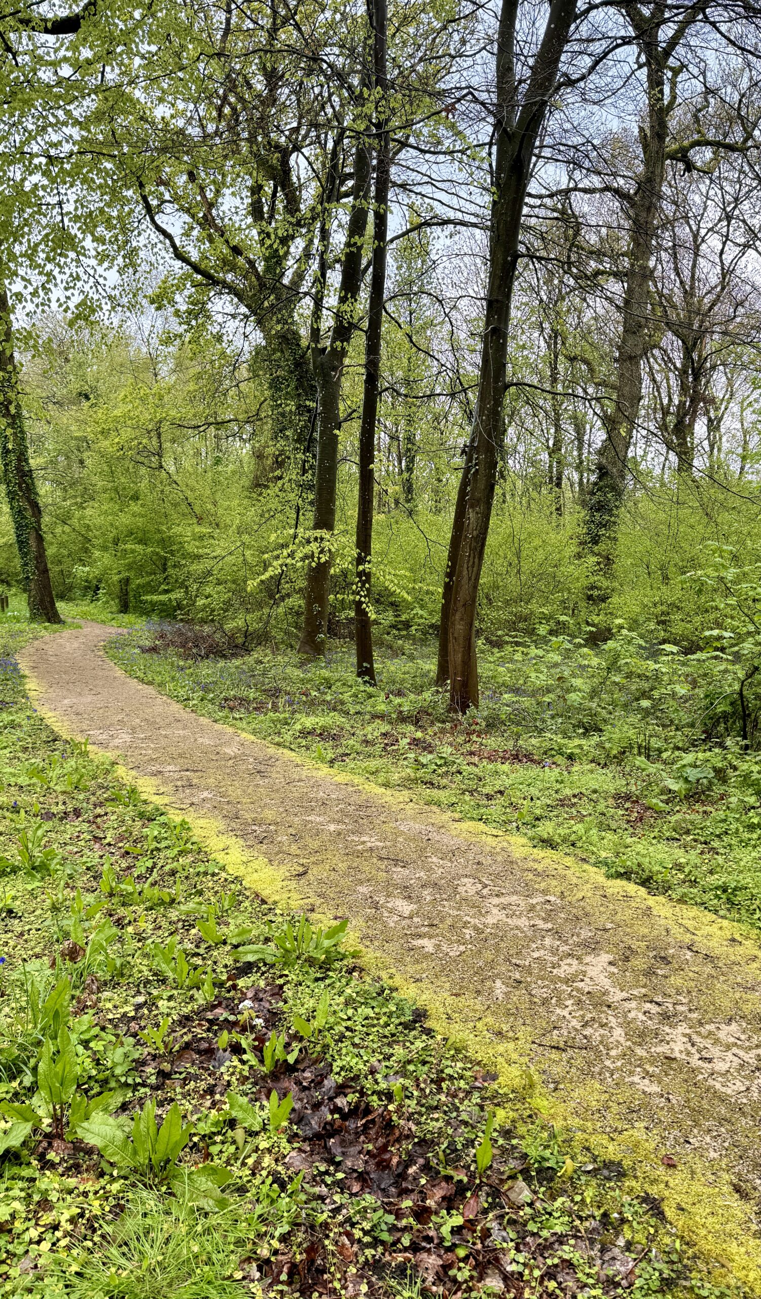
The Via comes in many flavors: paved roads, double tracks, and single tracks.
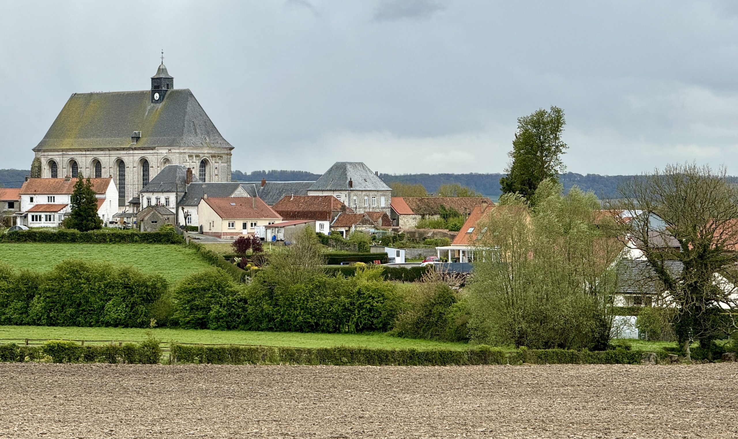
My destination, Licques, finally comes into view.
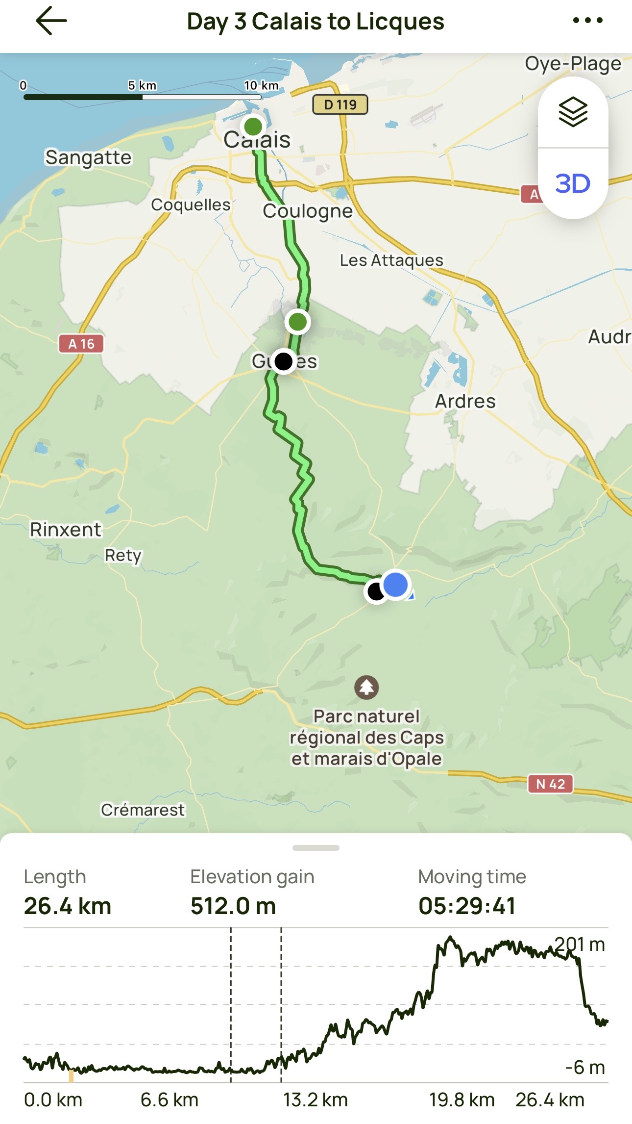
Day 3 AllTrails Stats
Distance: 26.4 km / 16.4 miles
Elevation Gain: 512 m / 1,680 feet
Steps: 40,711
Relive: https://www.relive.cc/view/vMq535kXWQO (Note: just from Guînes!)
Accommodation: Gîte À l’ombre du prunier, Licques
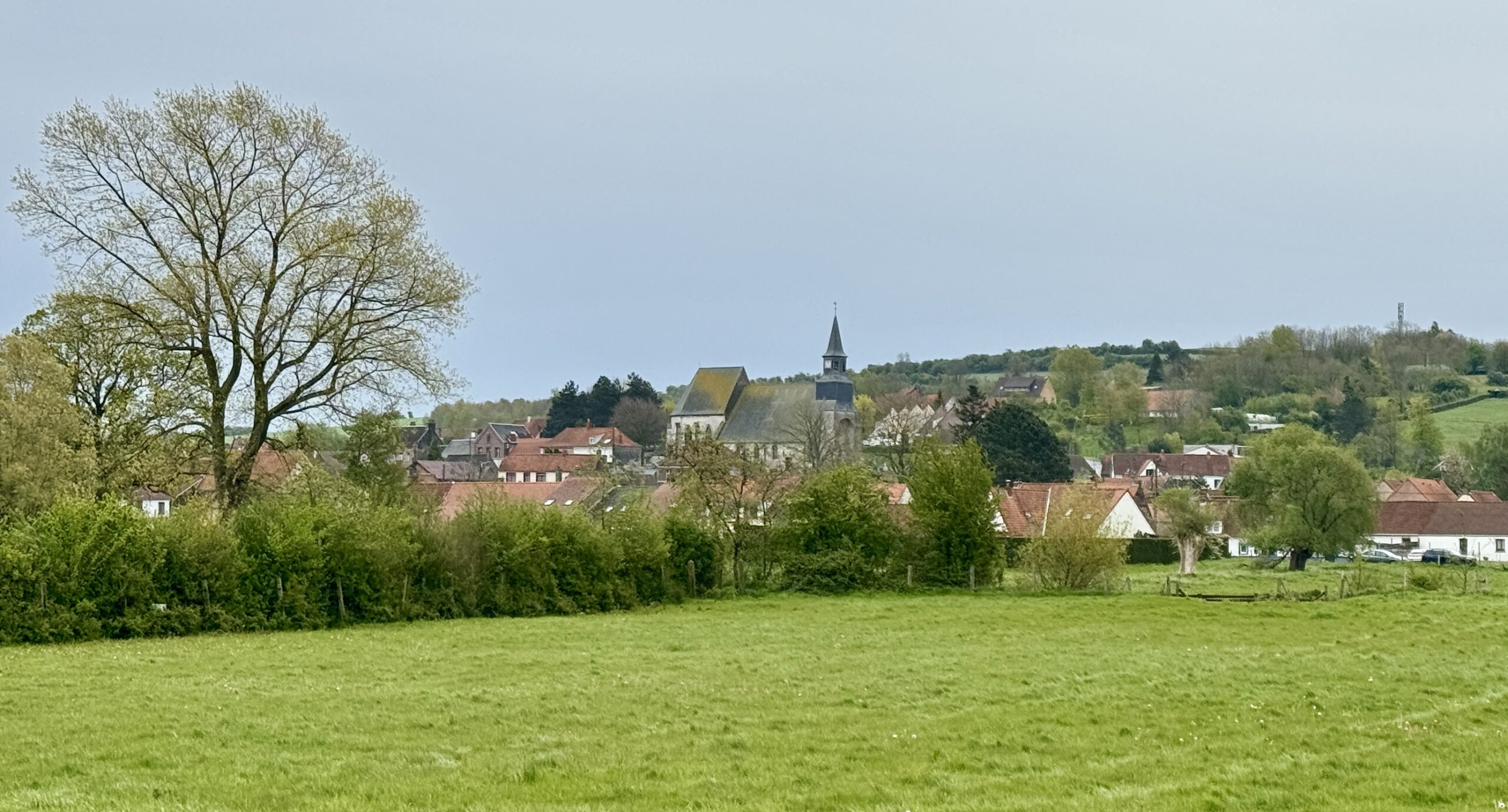
Day 4: Licques to Tournehem-sur-la-Hem
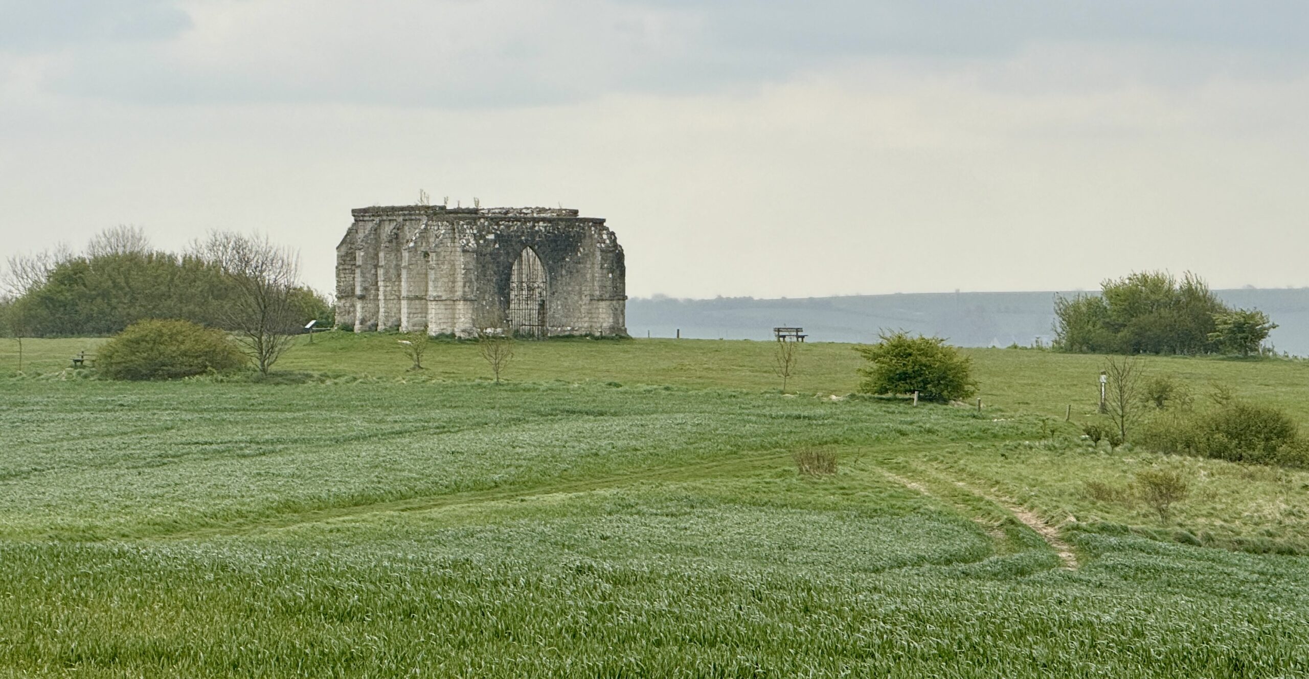
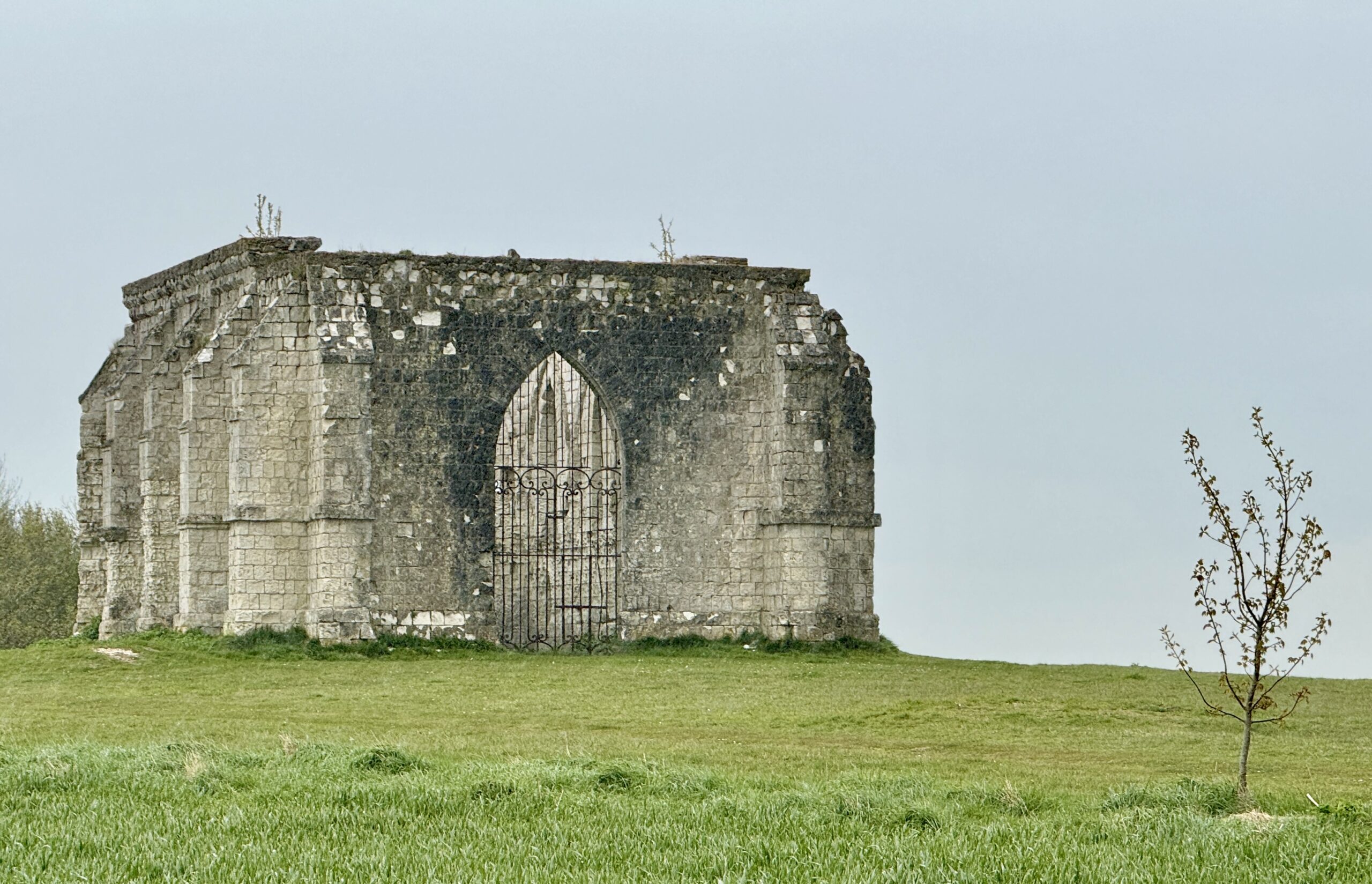
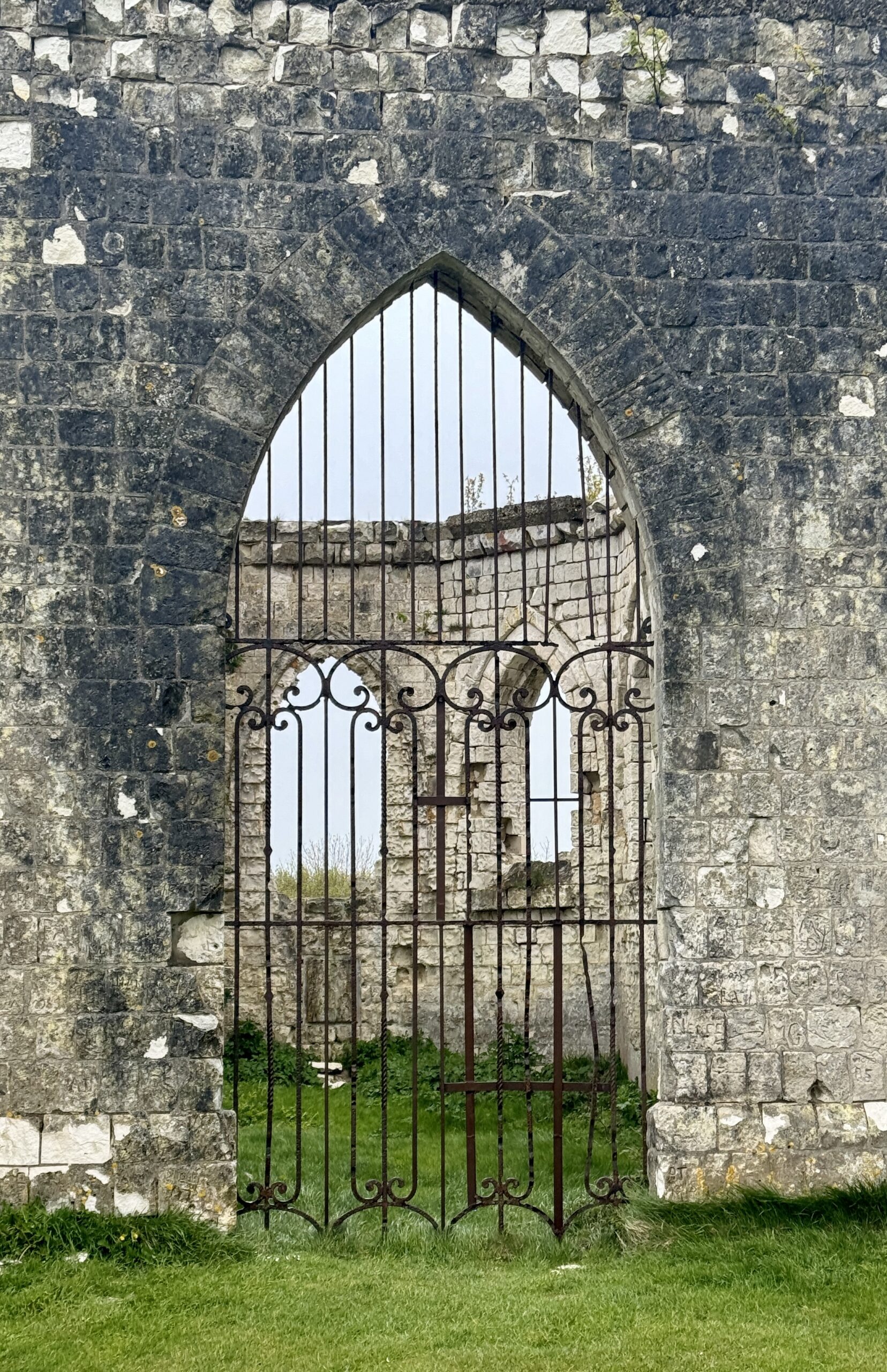
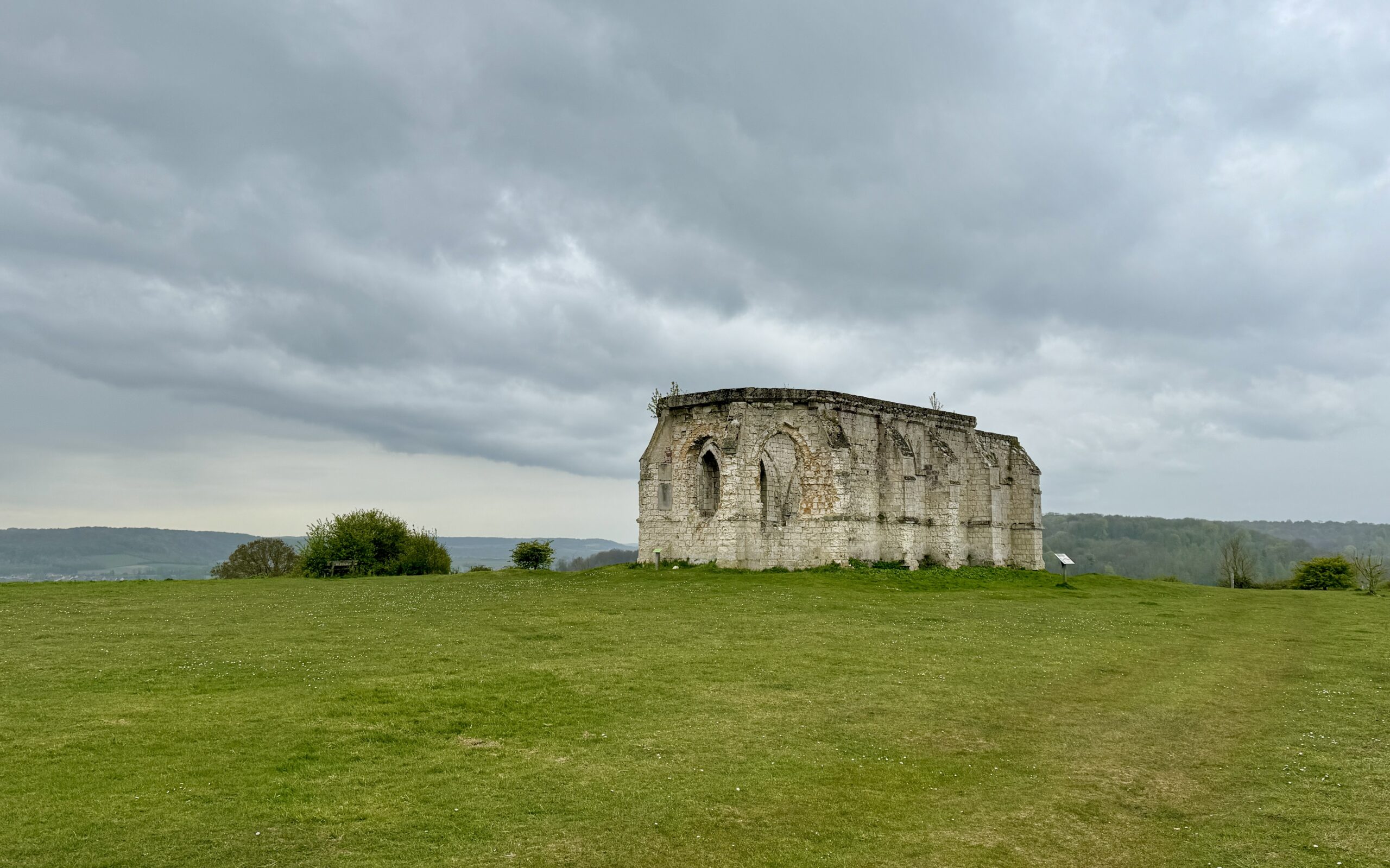
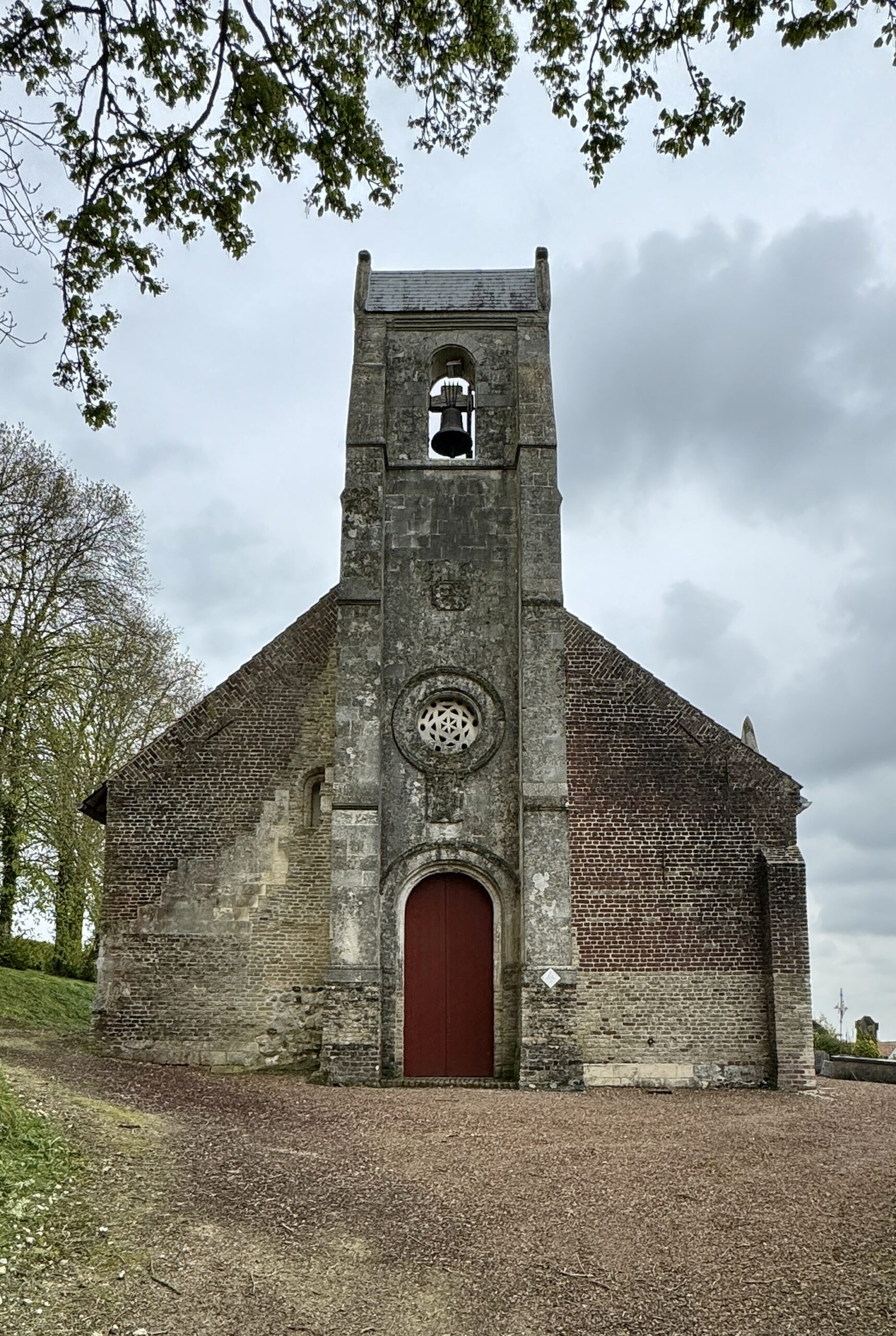
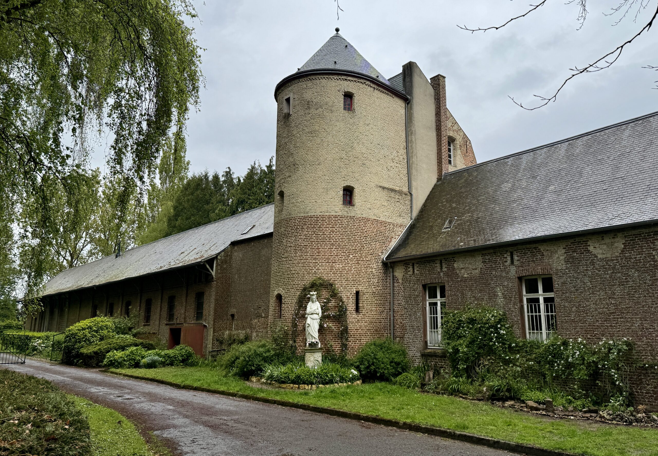
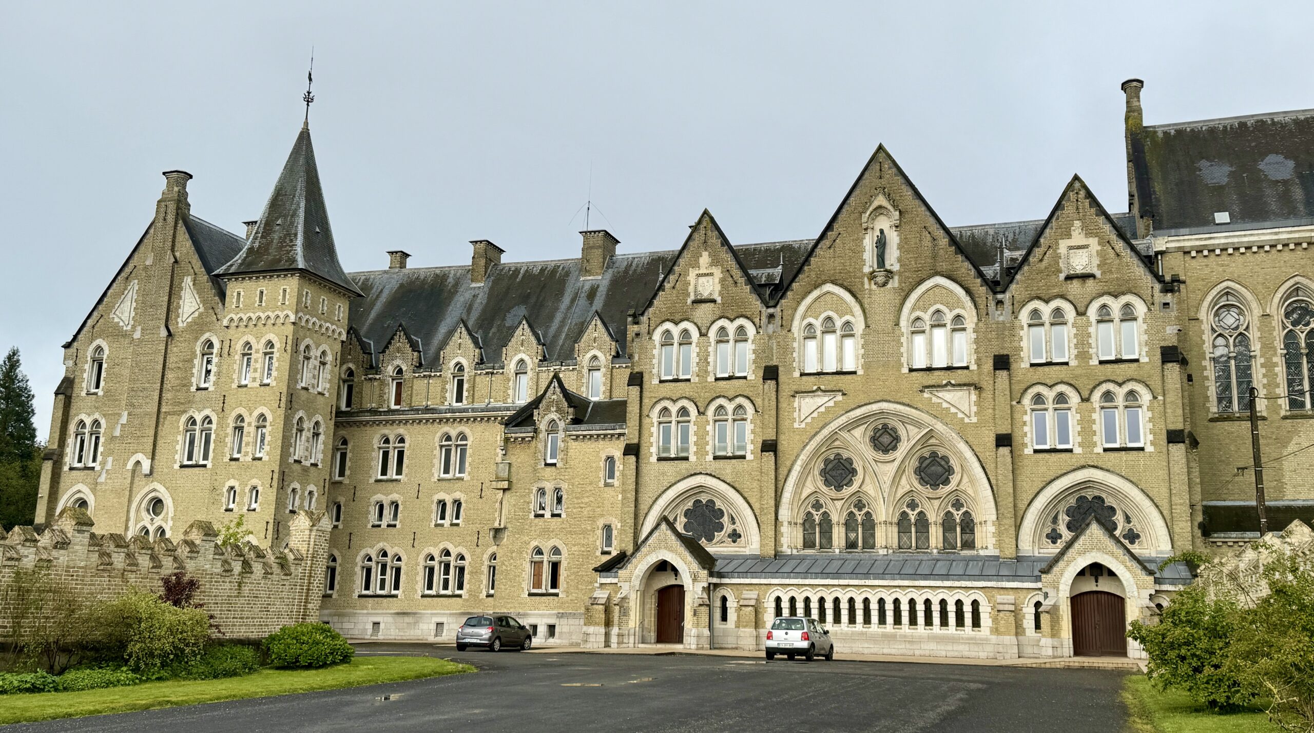
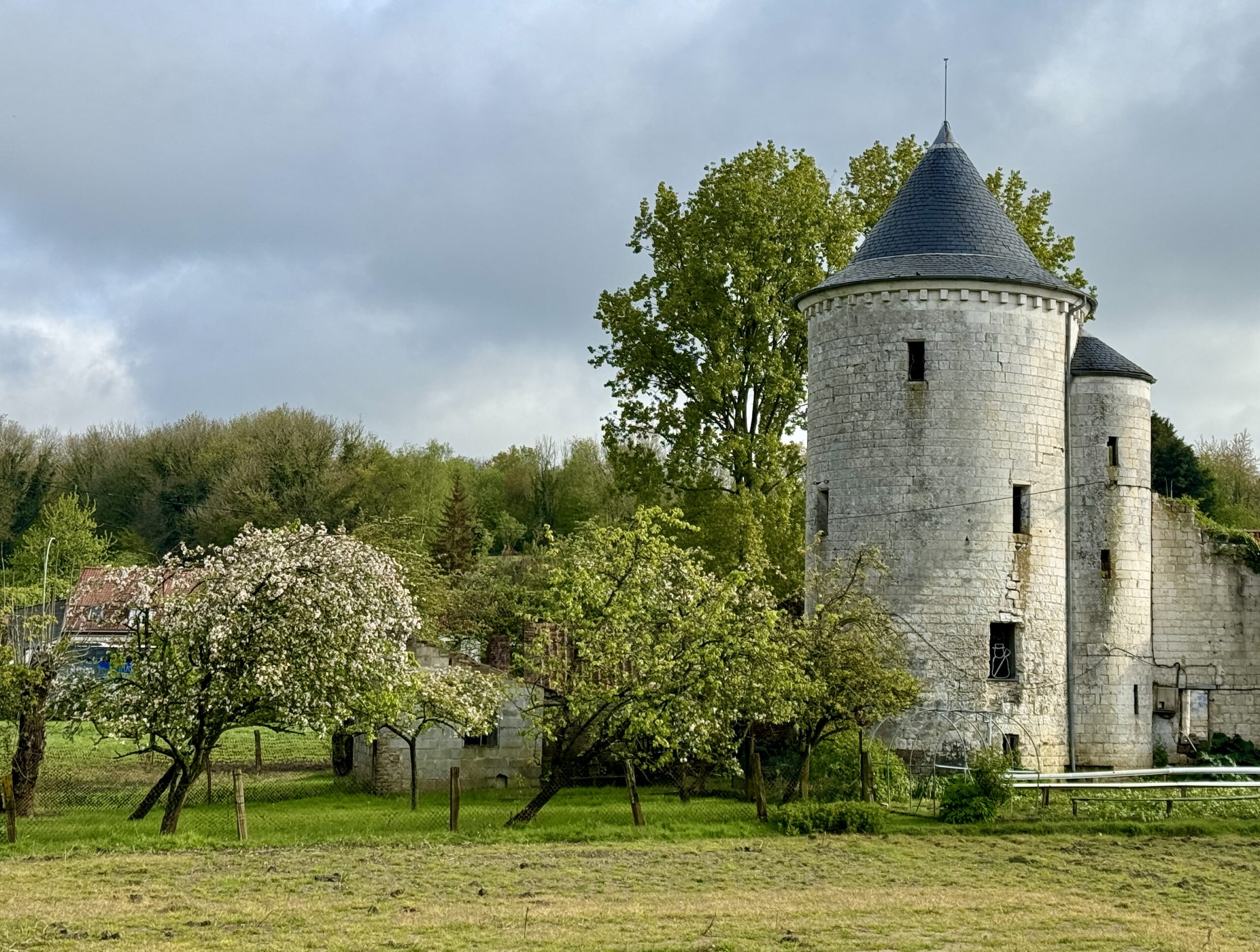
Today’s weather turned cold and wet in the early afternoon, with blue skies in the West quickly turning dark. Shortly before I reached my destination town, I came to the highlight of today’s stage (and the reason for my “less-than-direct” routing): the Chapelle de Saint-Louis, near Tournehem-sur-la-Hem.
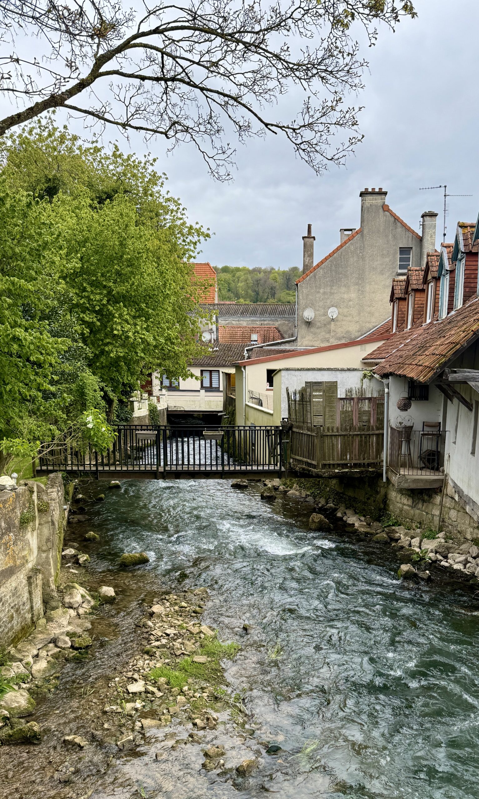
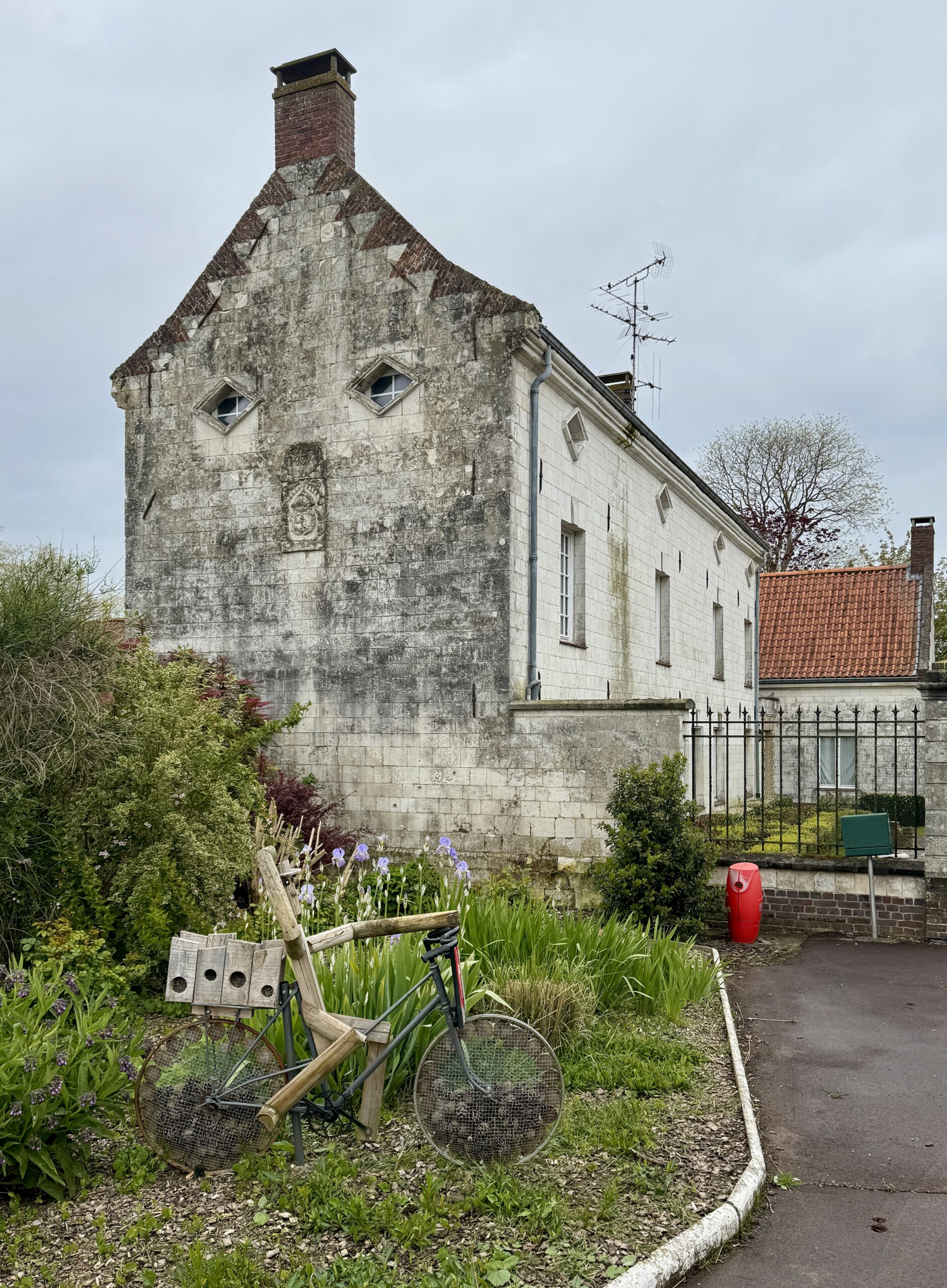
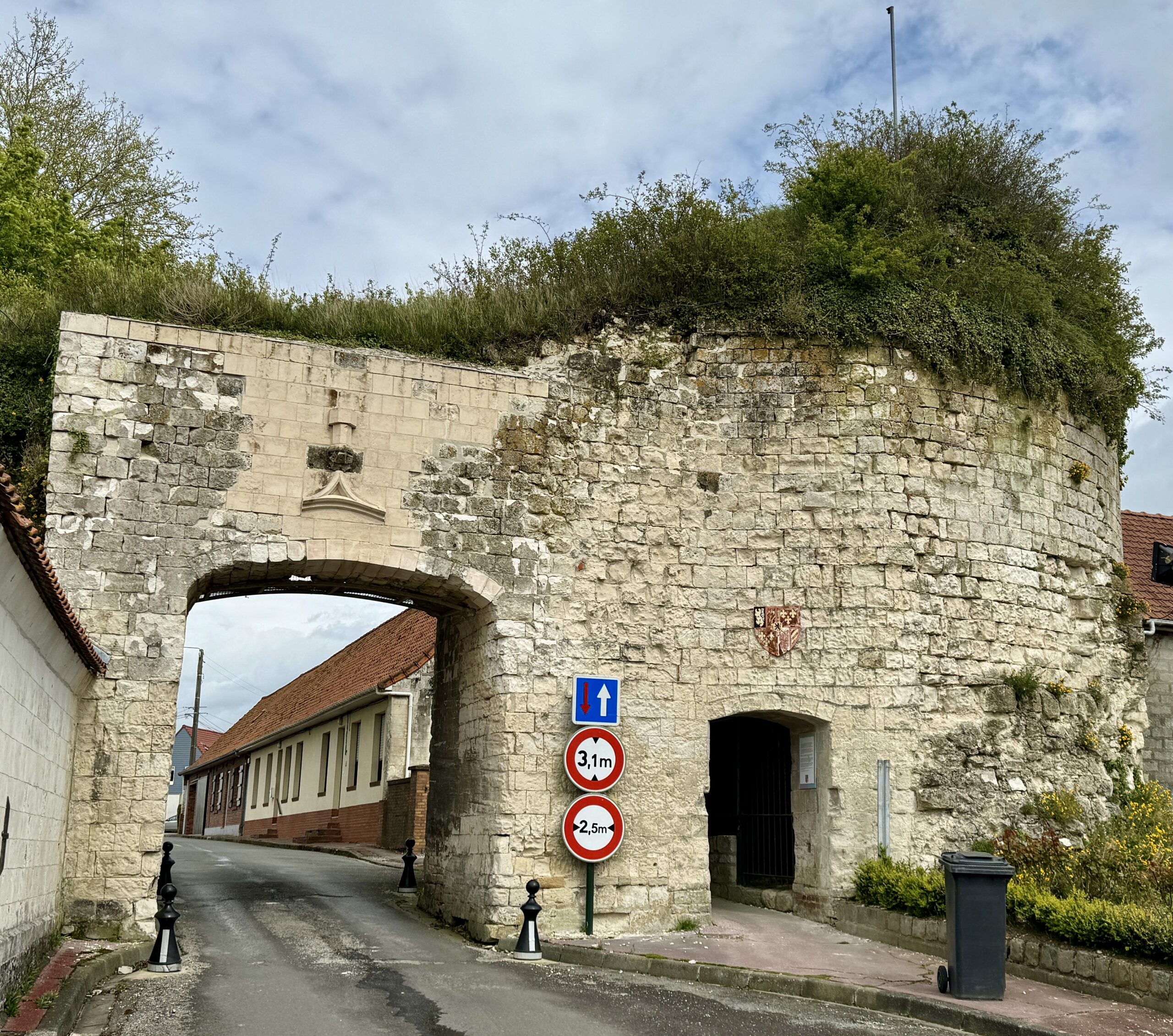
I was wet from the rain showers while walking the chapel grounds, but those cleared as I walked into my destination town, Tournehem-sur-la-Hem, and saw some interesting old buildings.
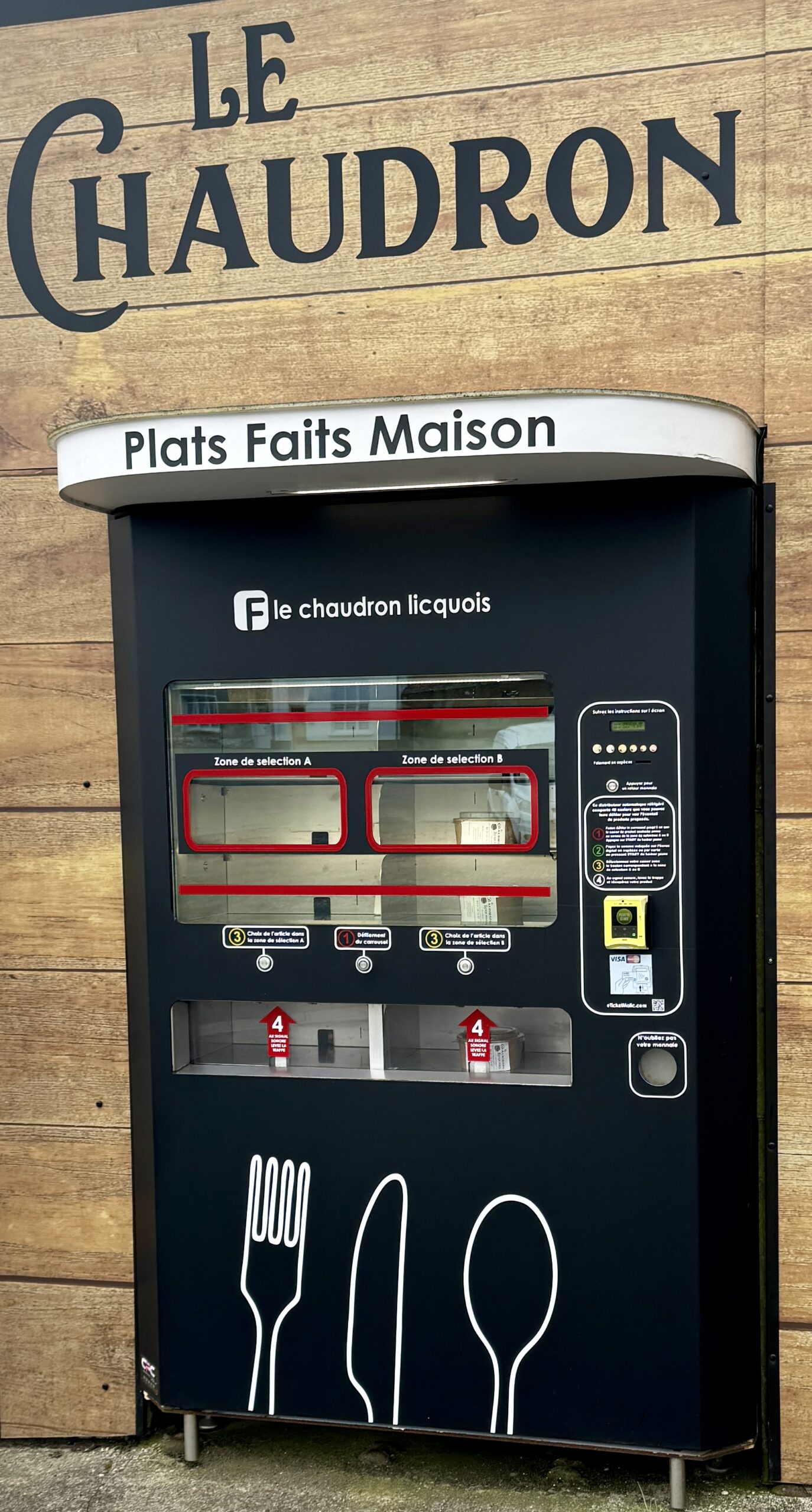
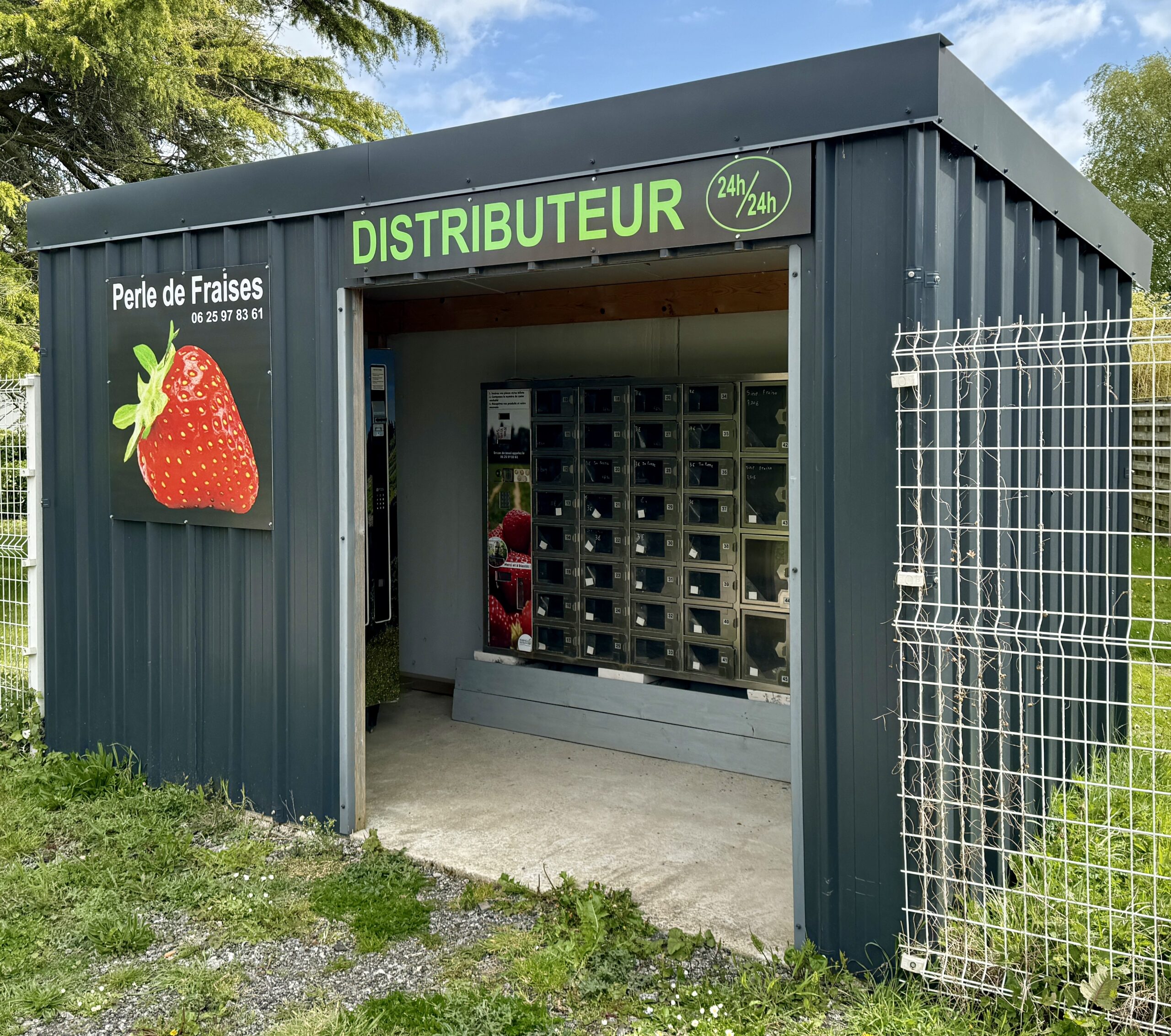
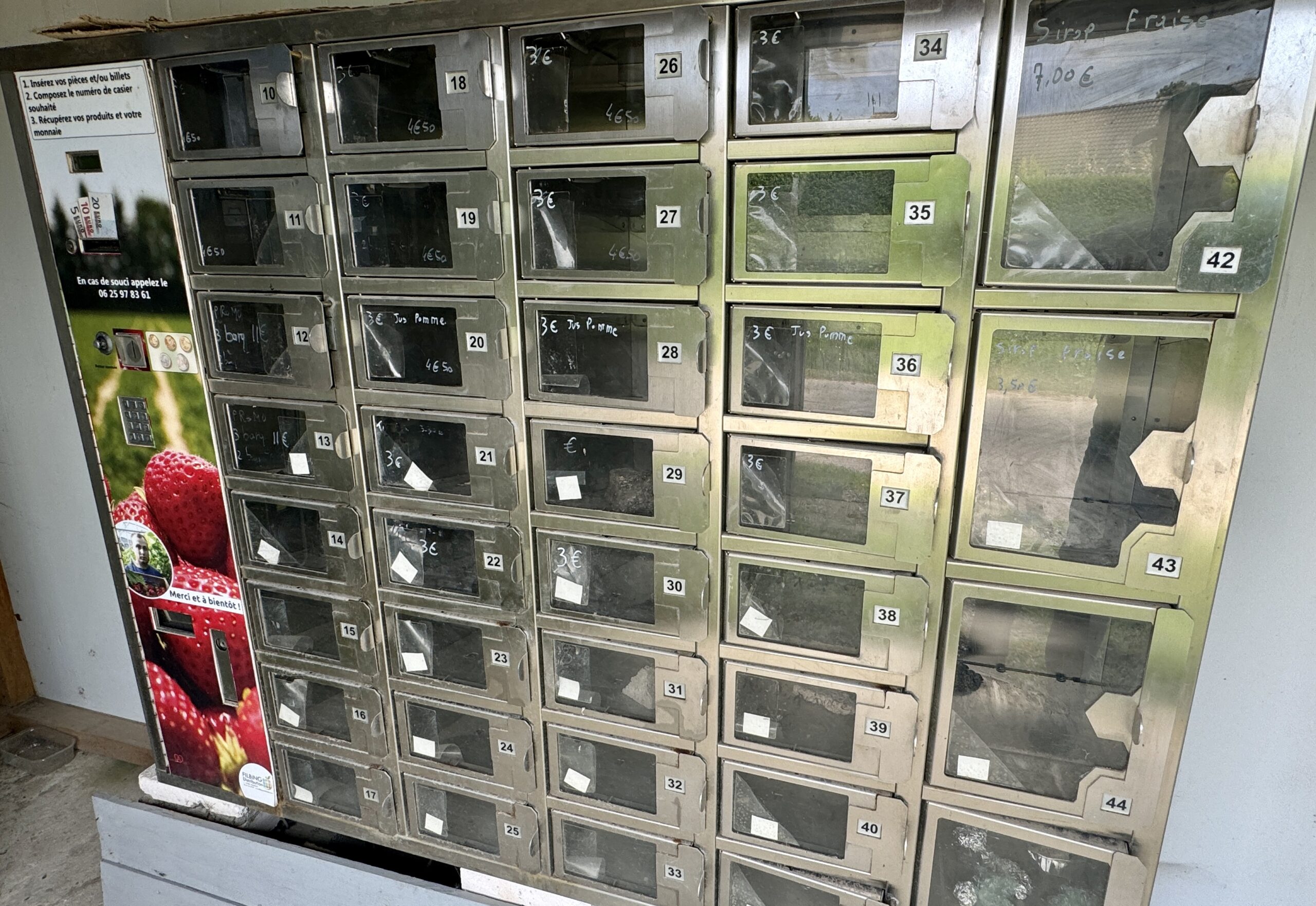
I found more pizza kiosks, and something else: an automated produce kiosk. Unfortunately, this one was pretty empty.

Looking back to Licques.
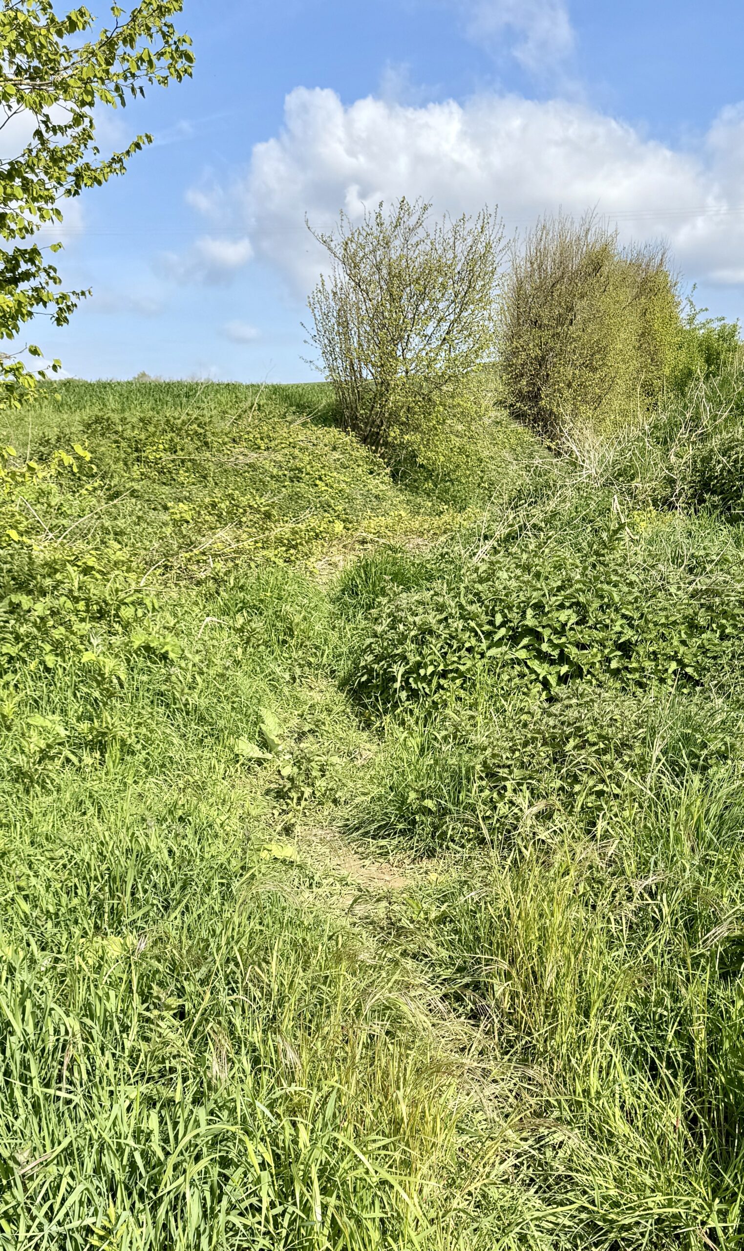
The clearly marked trails were sometimes interrupted by mere unsigned suggestions. In such cases, I was vert happy to have my AllTrails navigation app at hand and managed to stay on course.
A nice little neighborhood park, with facilities!
Hmm… my view to the West doesn’t look good, does it? The sprinkles arrived soon enough, followed by heavier rain as I approached Chapelle de Saint-Louis. Sandy Brown, in his guidebook, Walking the Via Francigena, Part 1, Canterbury to Lausanne, describes it as follows:
Many legends surround the ruins of the 15th-century Chapelle de Saint-Louis, including hints of pagan worship, third-century Roman army encampments, and forgotten underground tunnels. The building was reassembled to its current form in 1930, and left intentionally unfinished.
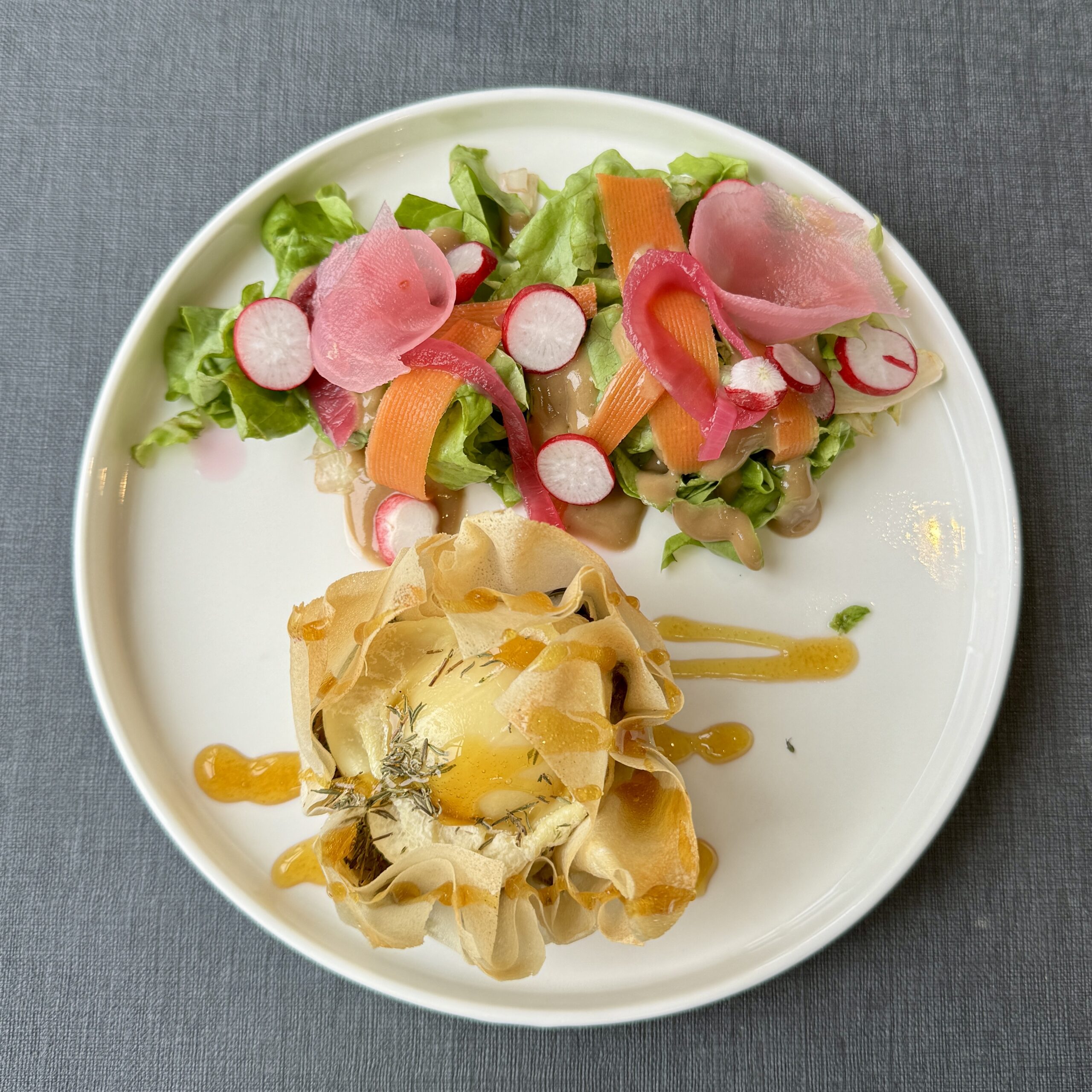
Arriving to my destination soaking wet and too early to check in to my hotel, I happened upon the cozy Café de la Mairie for warmth, a lovely lunch, and the chance to meet a few others escaping the cold and wet. This included Nathalie from Dunkirk, a French tourist in France, who will remain an online friend.
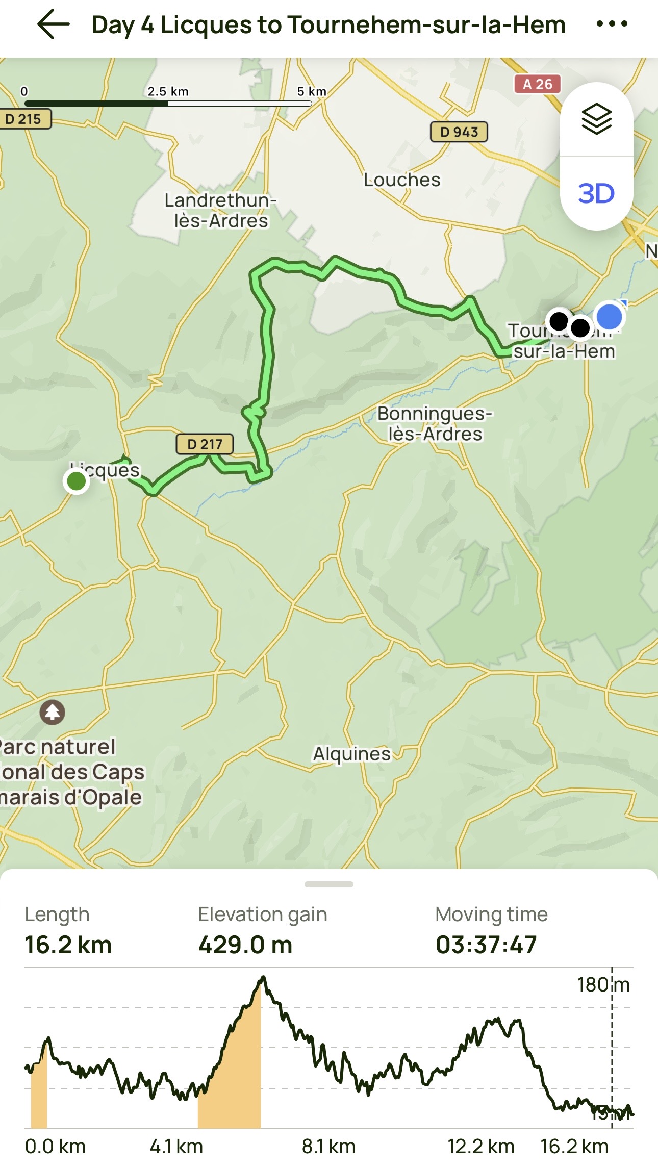
Day 4 AllTrails Stats
Distance: 16.2 km / 10.1 miles
Elevation Gain: 429 m / 1,407 feet
Steps: 24,628
Relive: https://www.relive.cc/view/vevY3LN4By6
Accommodation: Hotel Bal, Tournehem-sur-la-Hem
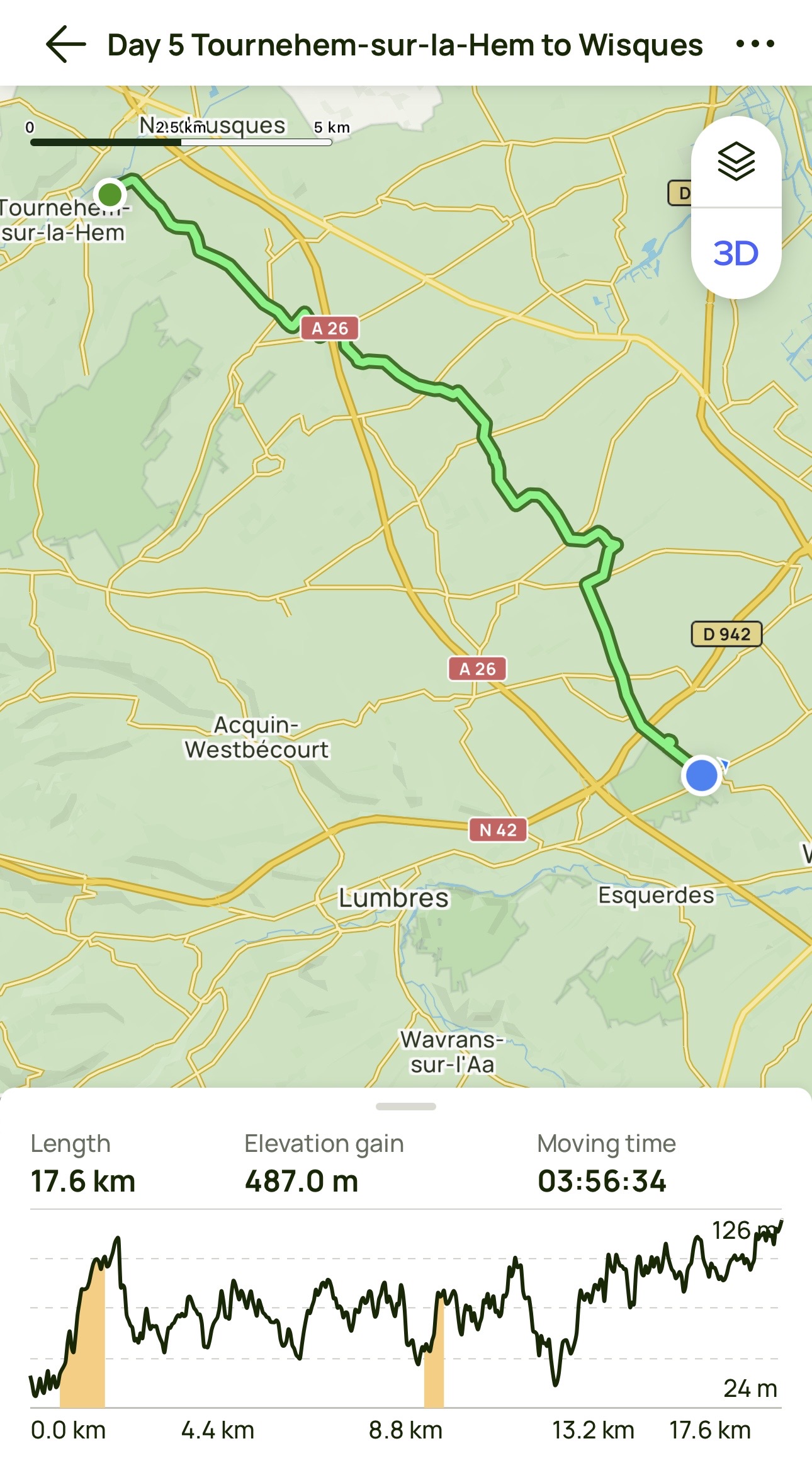
Day 5: Tournehem-sur-la-Hem to Wisques
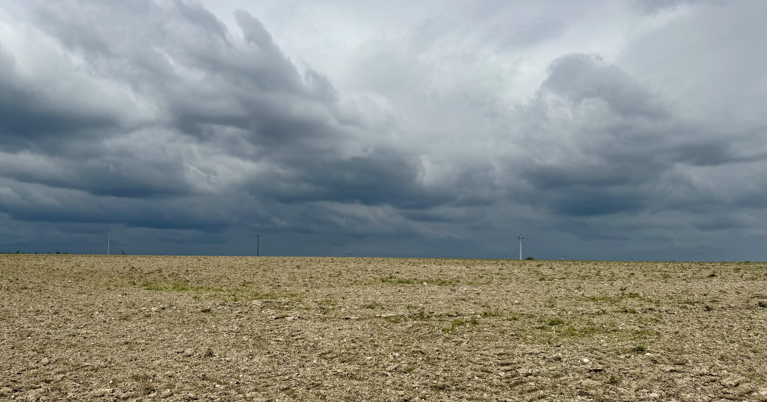
Cold, grey, rainy, muddy, slippery.
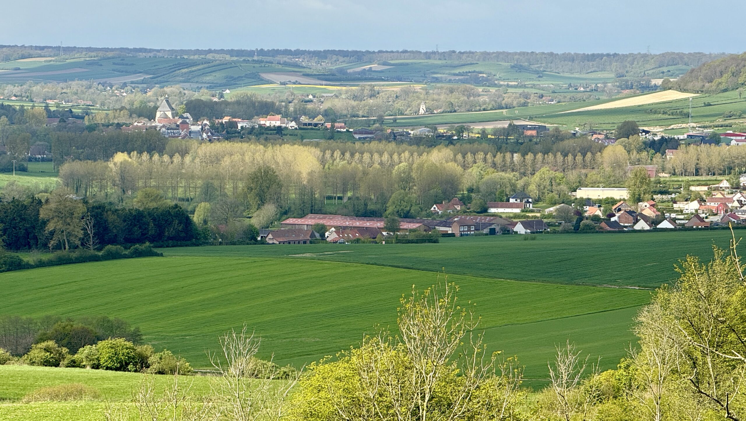
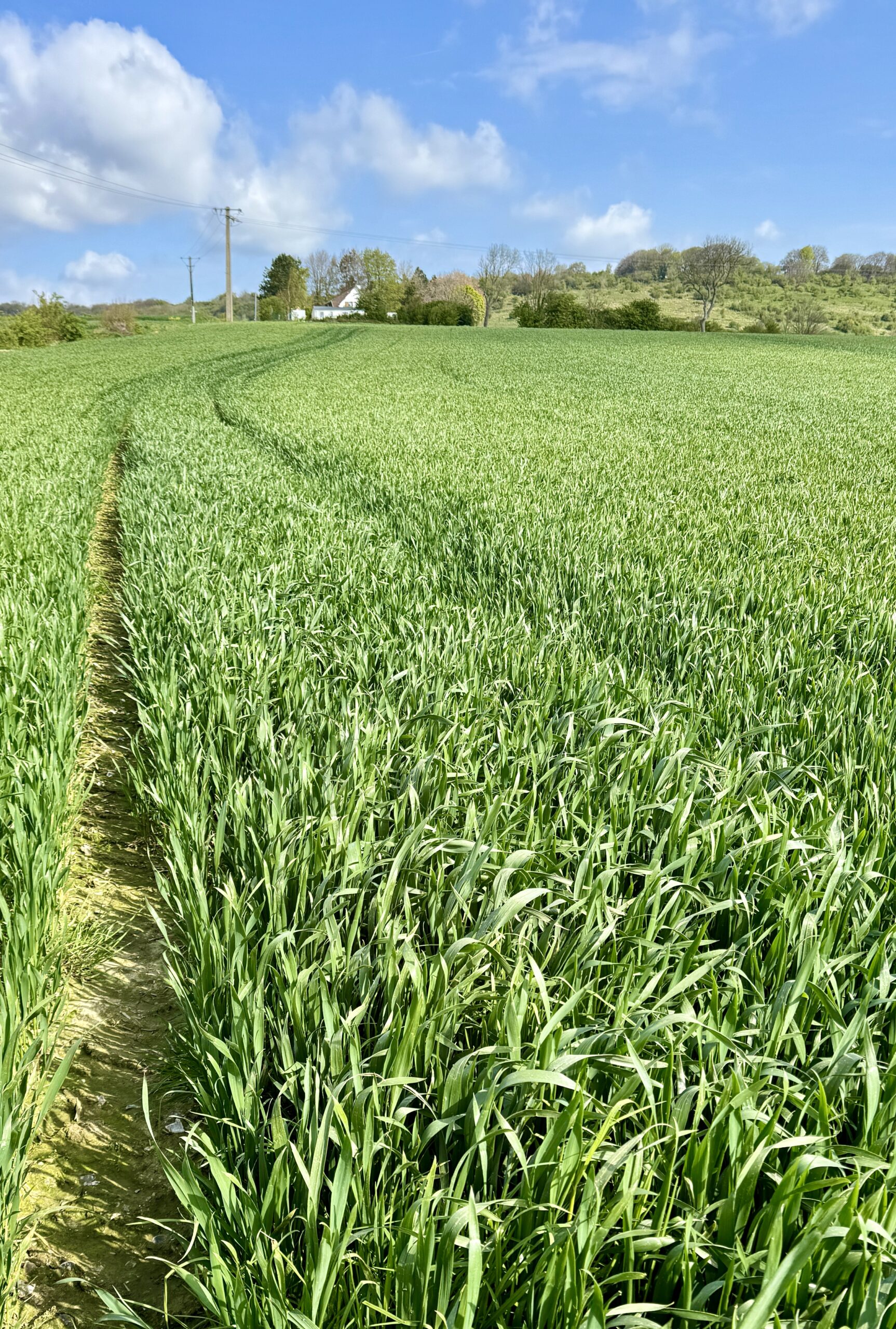
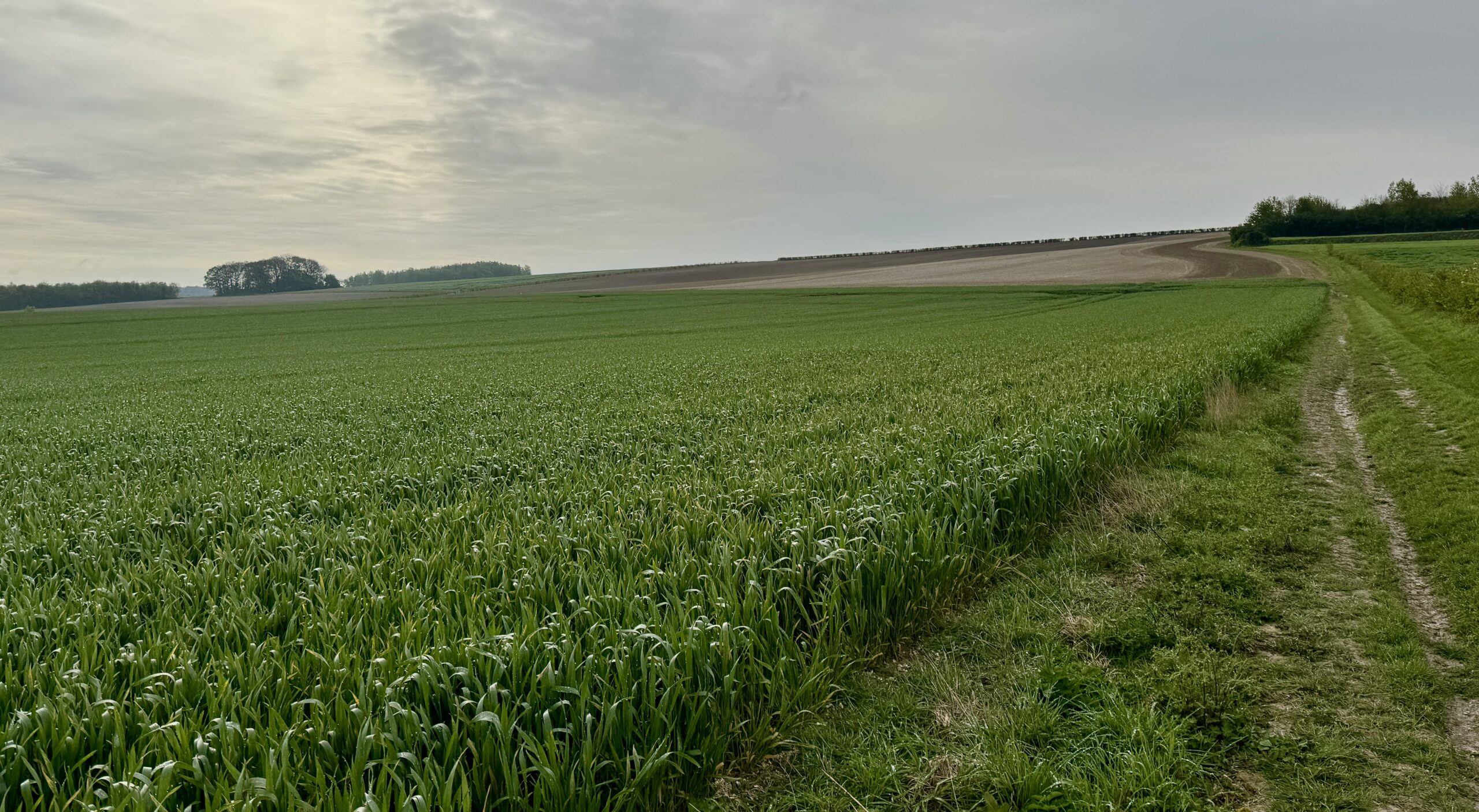
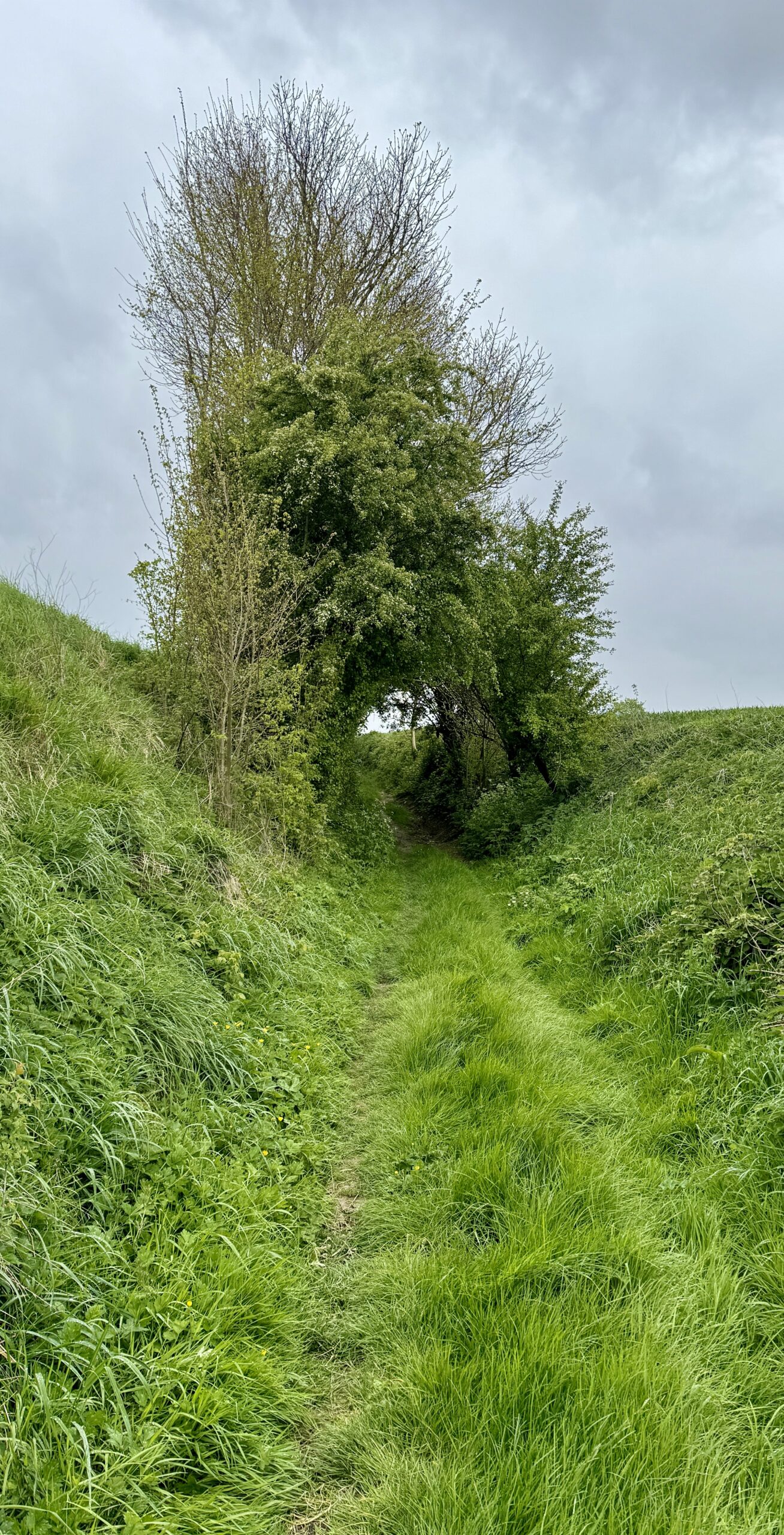
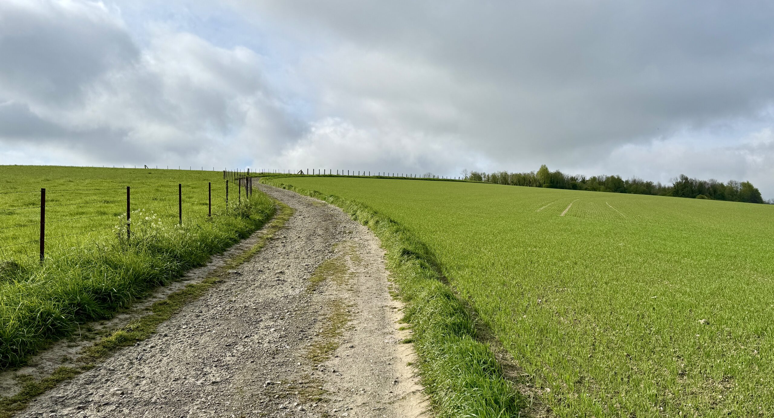
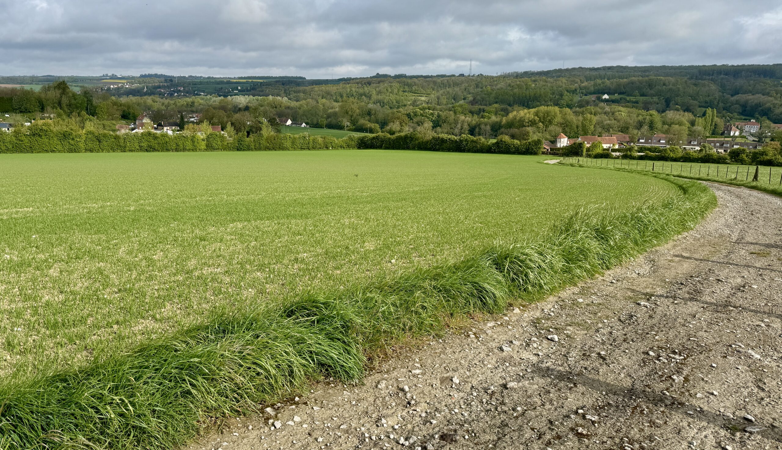
Those are the first words I think of to describe today’s walk. I walked through countless fields on dirt farm tracks and trails overgrown with wet grass, past a few hamlets and a couple of villages.
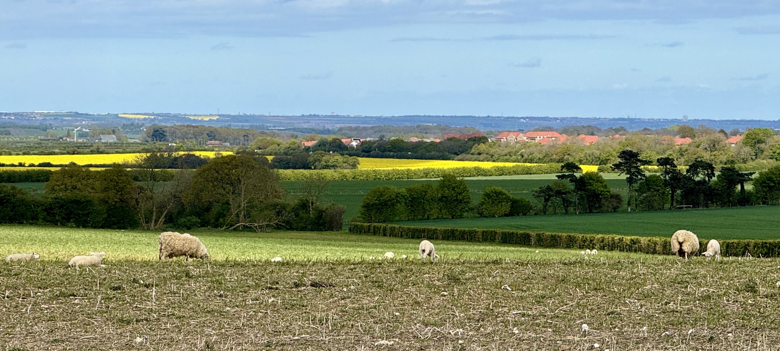
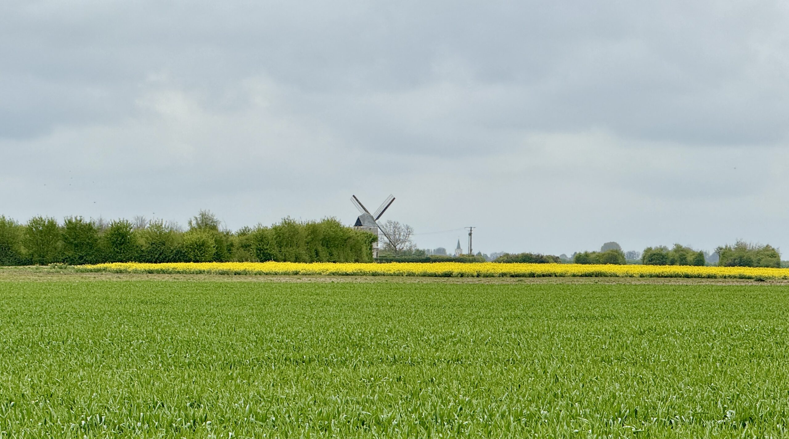
The guidebook mentioned that I would have my first sighting of local windmills, so I kept my eyes open for the tall white turbines that can be hard to see against a grey sky background. I was pleasantly surprised to see a few traditional windmills that would have gladdened the heart of Don Quixote. They were far away and not easy to see in detail. But I liked knowing they were there.
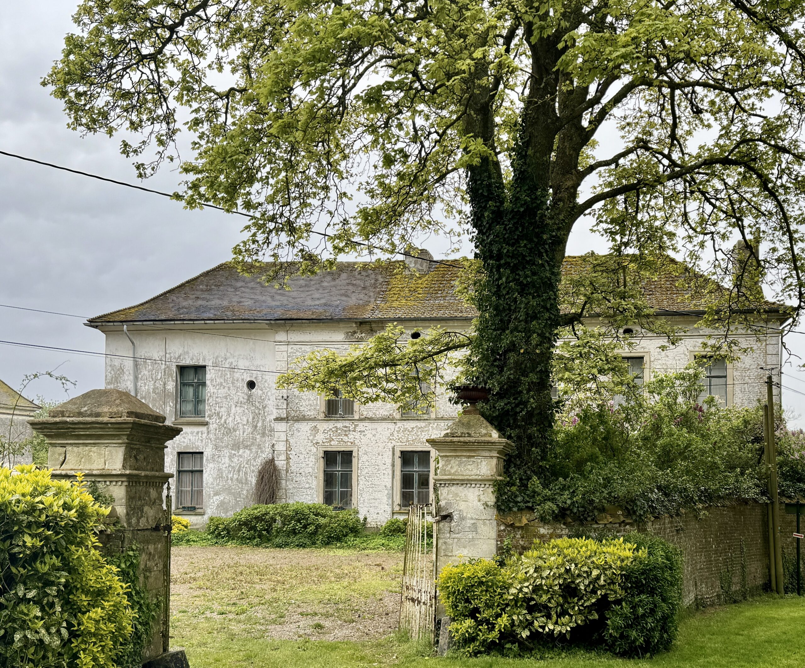
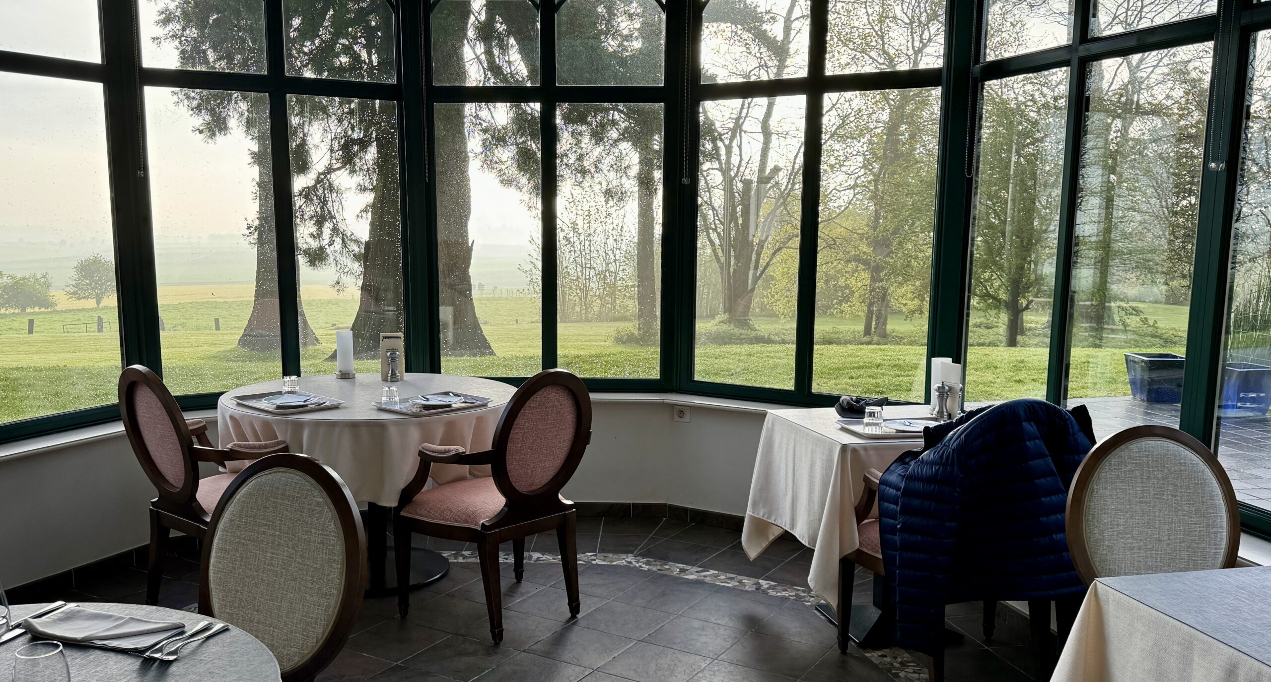
There was nowhere I felt like stopping, so I continued straight on to my destination town of Wisques, where I knew there were two renowned pilgrim accommodations: St Paul’s Abbey (a monastery) and Notre Dame Abbey (a convent). My attempts to contact them over the last couple of days proved futile, but with no other pilgrims within sight or sound, I didn’t expect any problem finding a bed as a walk-in. It was not to be. I was told that it was “too early in the season,” so my only option was a very nice (and expensive!) hotel. I blew my budget, but I won’t complain, because it was there I met a lovely couple from England, Charles and Penny, with whom I expect to build full online friendship. I am beginning to realize that despite the lack of other pilgrims on this route, there are plenty of other wonderful folk with curiosity and an interest in adventure.
Even though I arrived before the hotel’s normal check in time, they had a room for me, so I had the opportunity to wash and dry my dirty laundry, warm up and enjoy a little nap before a remarkable dinner.
All in all, it was a quiet day. Not many pics tonight. Have you seen enough fields? Unfortunately, the grey weather doesn’t show them in their best light.
Day 5 AllTrails Stats
Distance: 17.6 km / 10.9 miles
Elevation Gain: 487 m / 1,598 feet
Steps: 25,839
Relive: https://www.relive.cc/view/vYvE2myp2GO
Accommodation: Hotel La Sapinière, Wisques
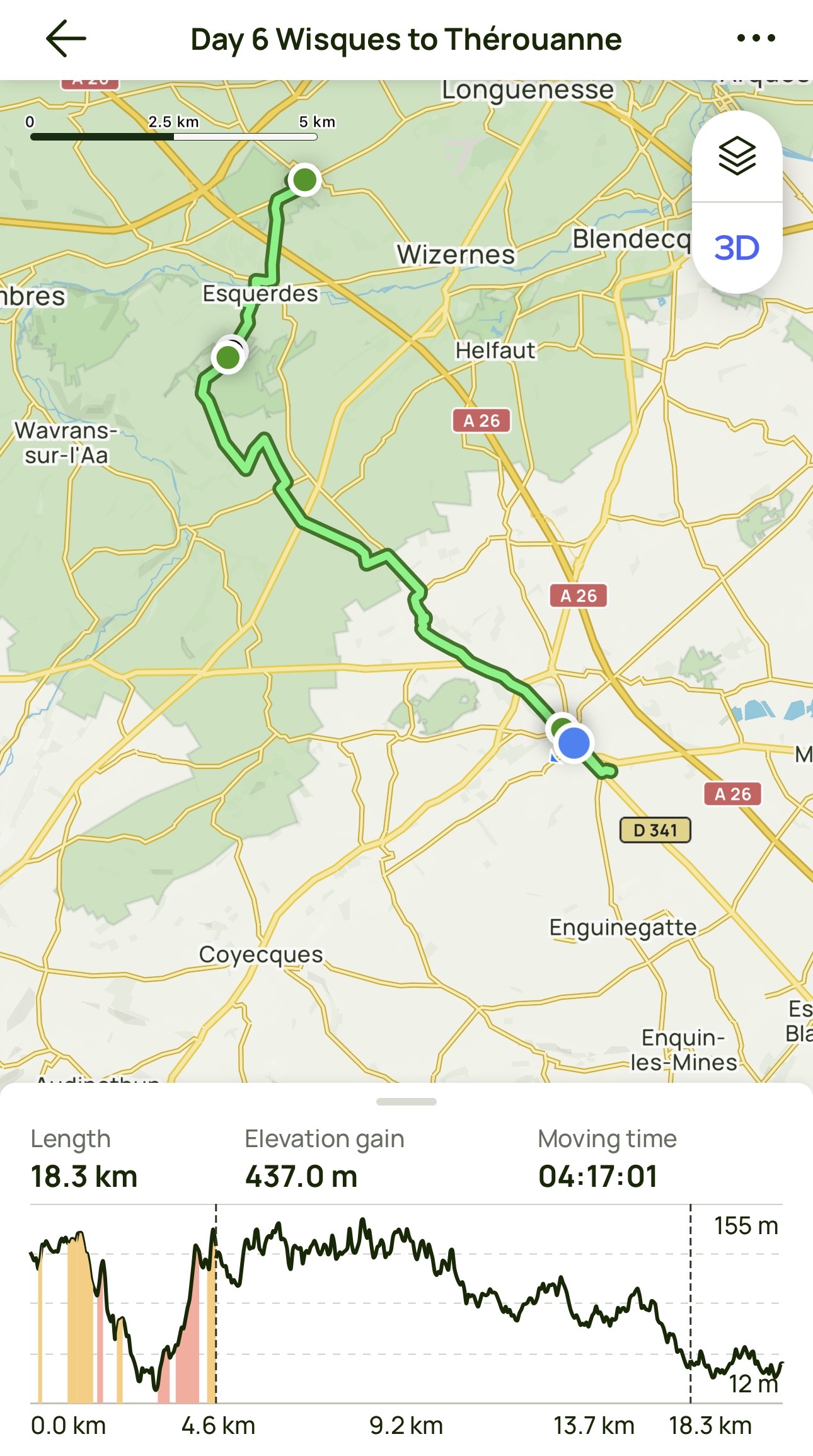
Day 6: Wisques to Thérouanne
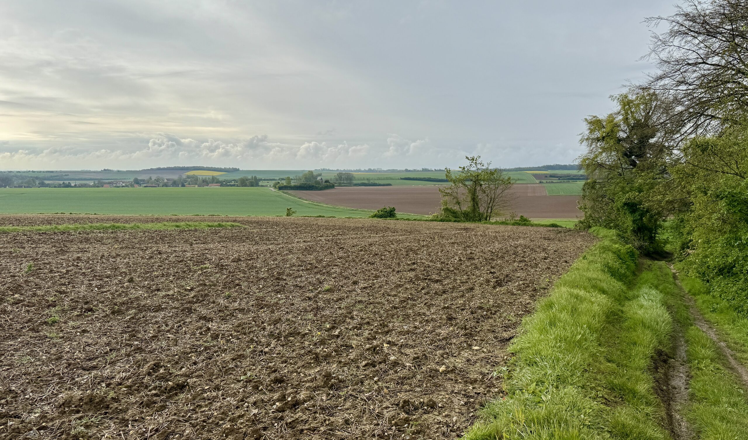
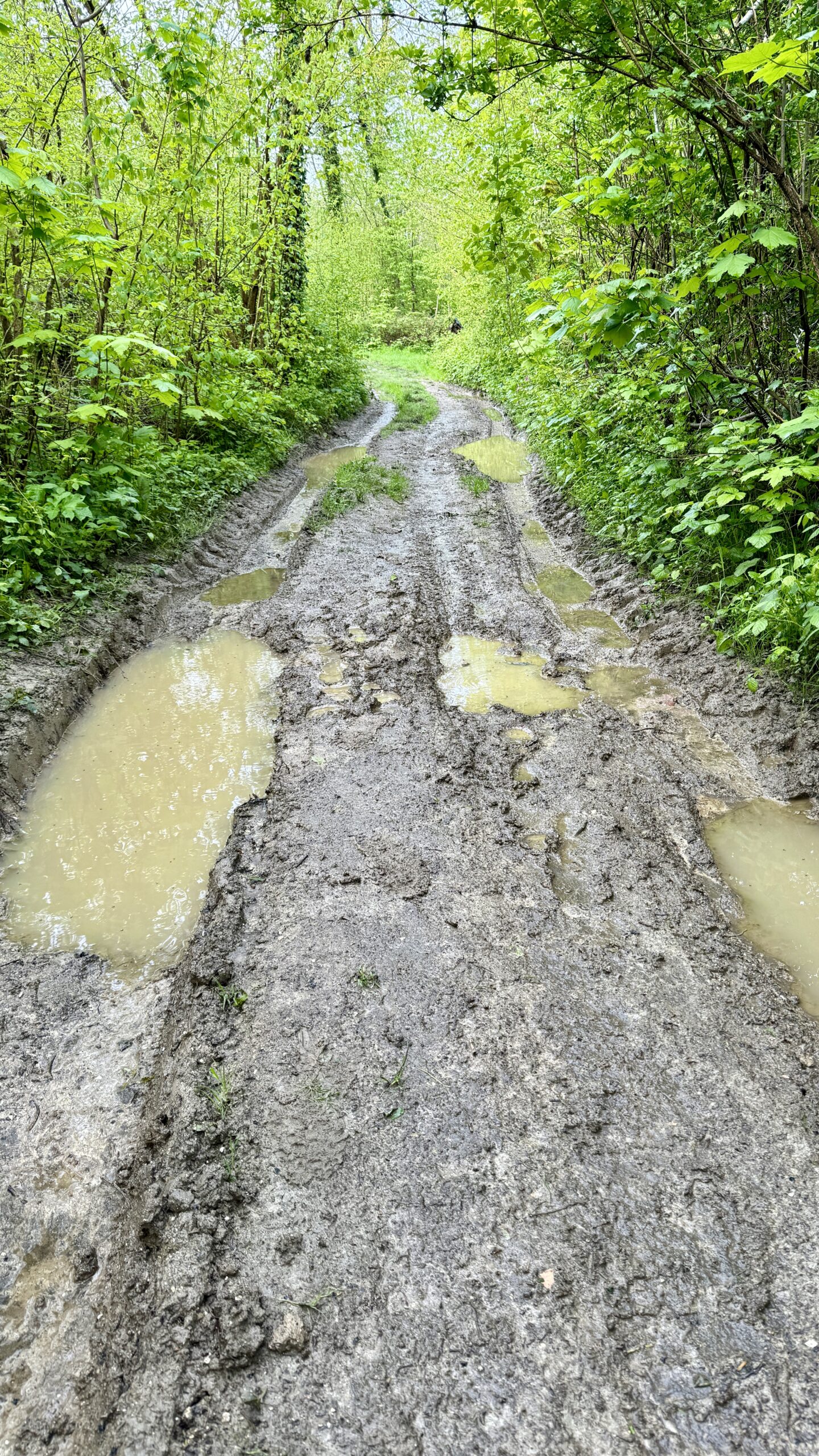
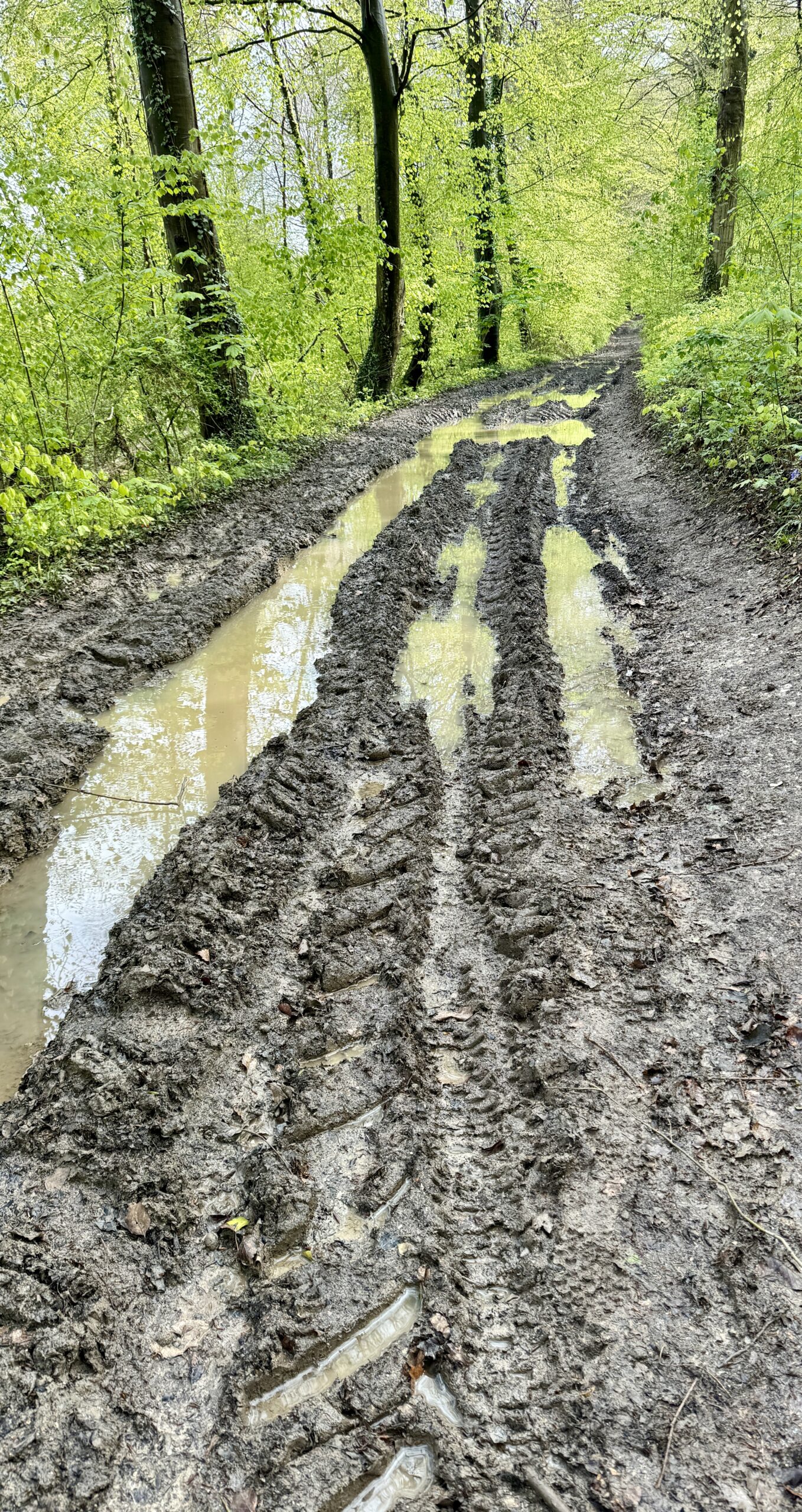
The battle between sunshine and rain came to a draw today. The sun held out in the morning, but the showers started up again this afternoon. Even when it is bright, there are still muddy tracks to contend with for days to follow.
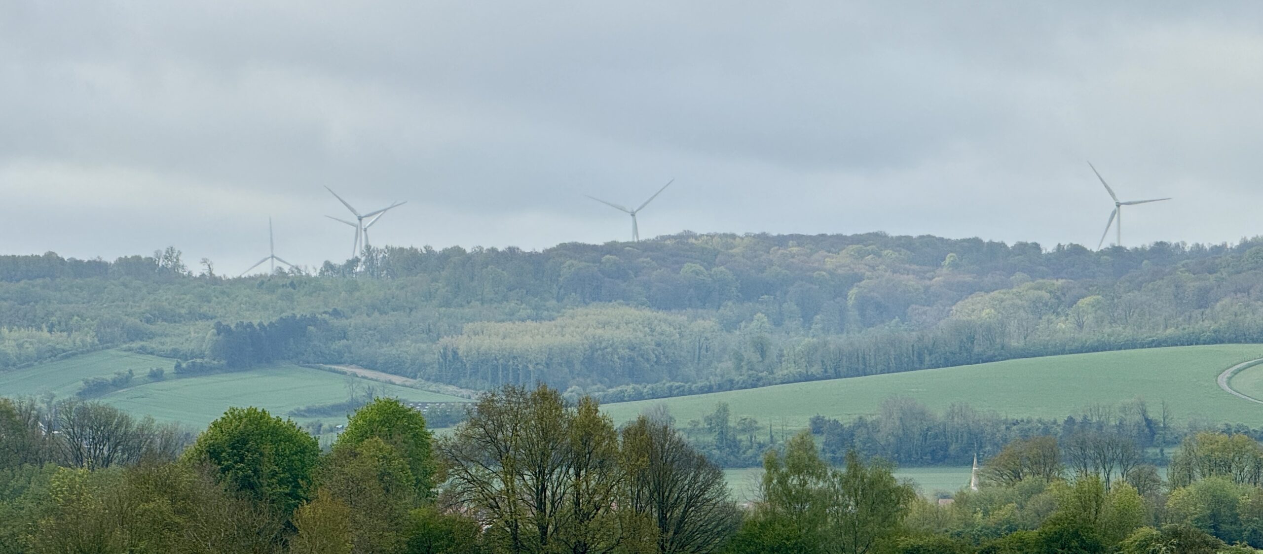
The few historic windmills of yesterday quickly gave way to numerous large, modern wind turbines. They tower over the fields and stretch onward like sentinels marching across the hills.
My destination town of Thérouanne is proud of its Archeology Museum, but I found it closed. Another example of my being on the Via “too early in the season.” I was also the only guest at my gîte, which can hold up to a dozen pilgrims. With a nearby market, I managed to conjure up a tasty dinner on my own. I’m getting used to solo travel in the extreme.
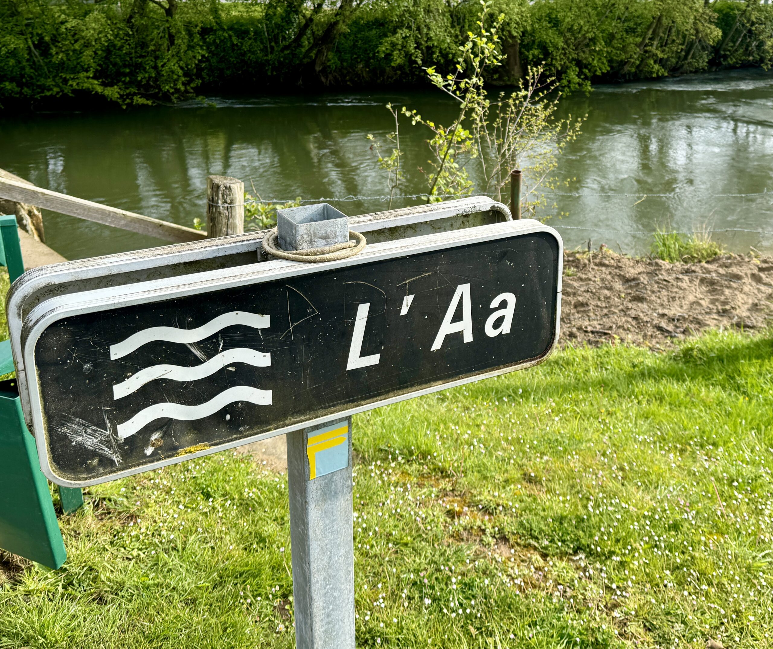
I came across a river that insists on being in first position of all lists of rivers!
My first sighting of the wind turbines.
Though the rain has stopped falling, it will take some time for the muddy tracks to dry out.
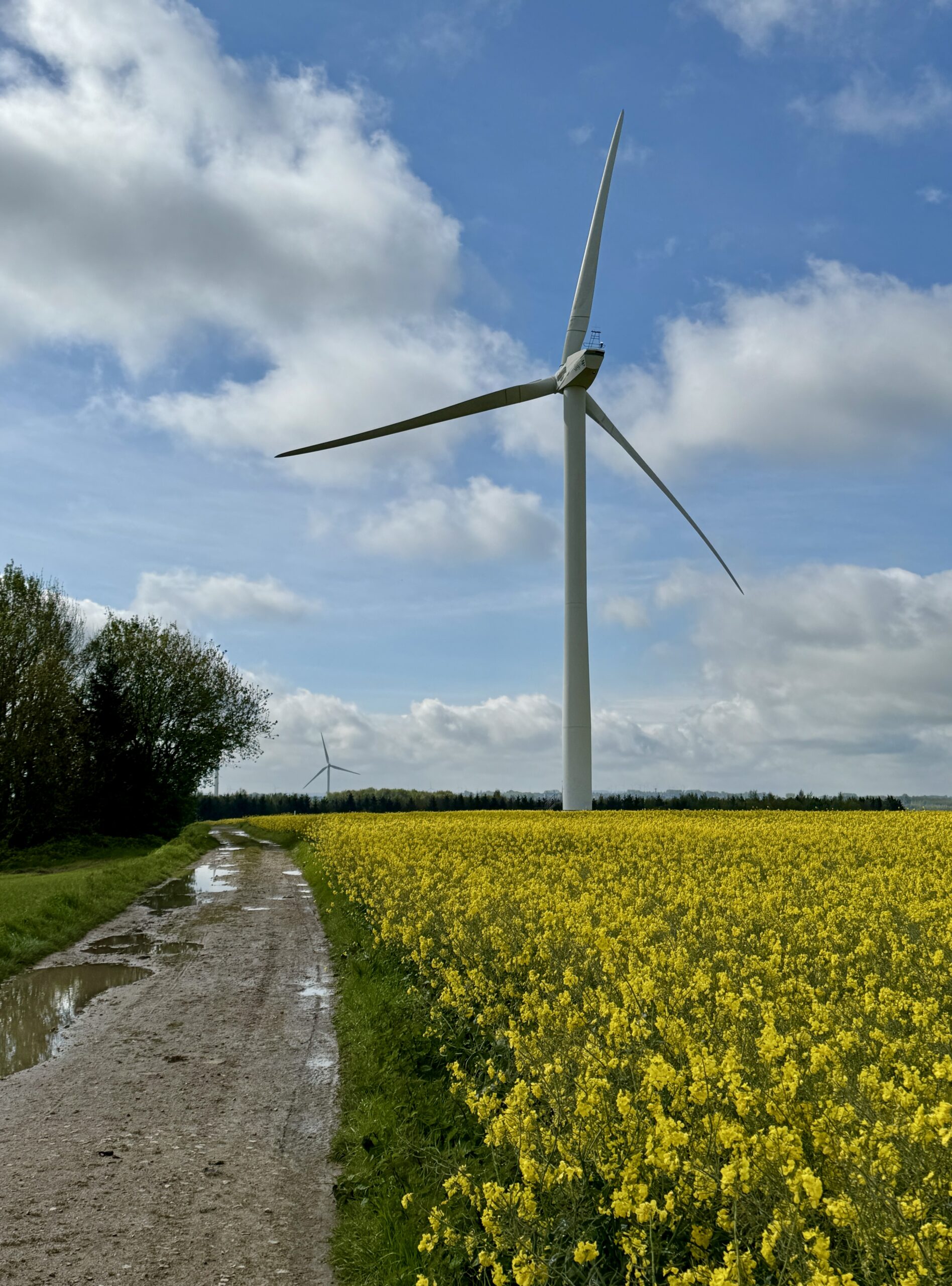
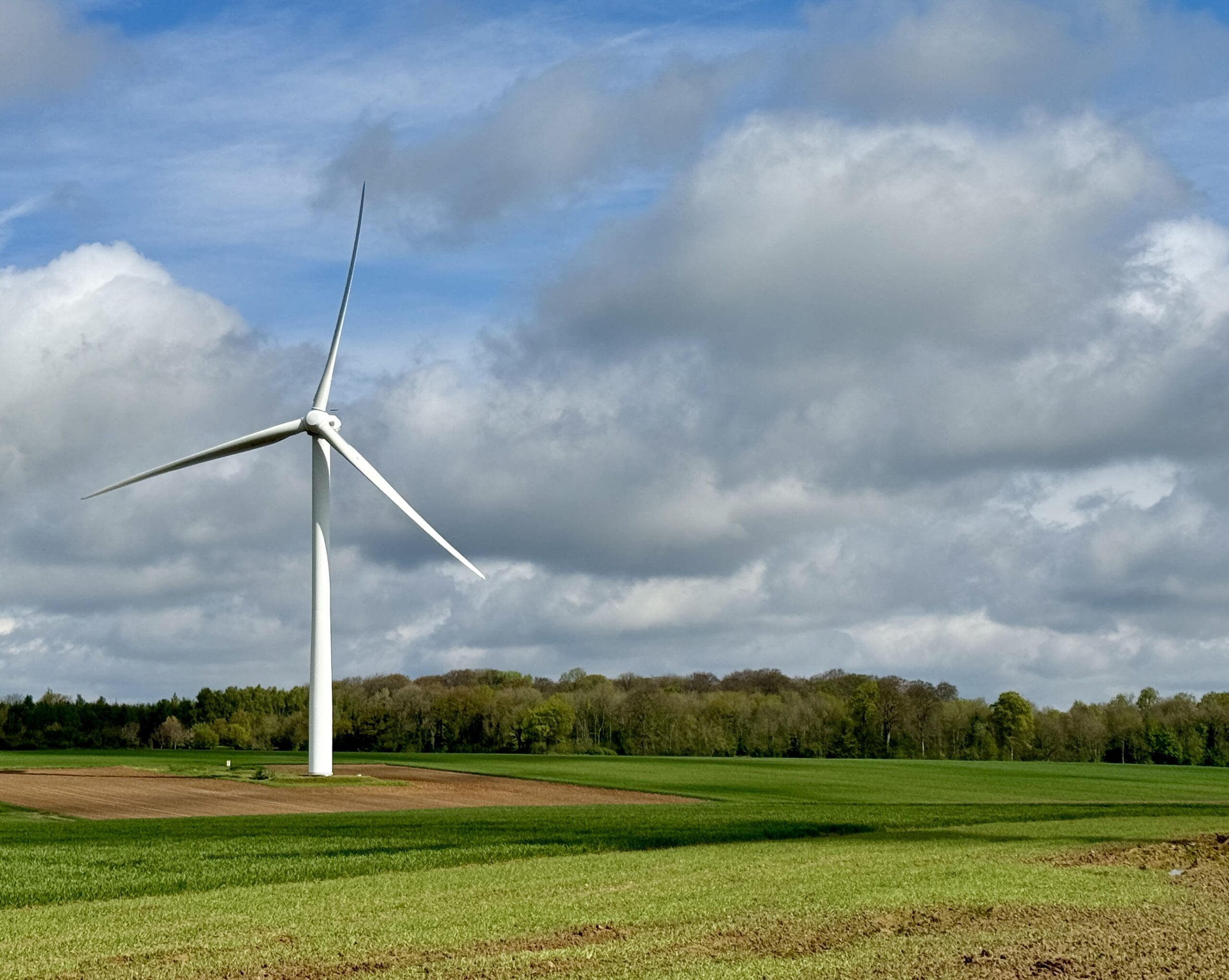
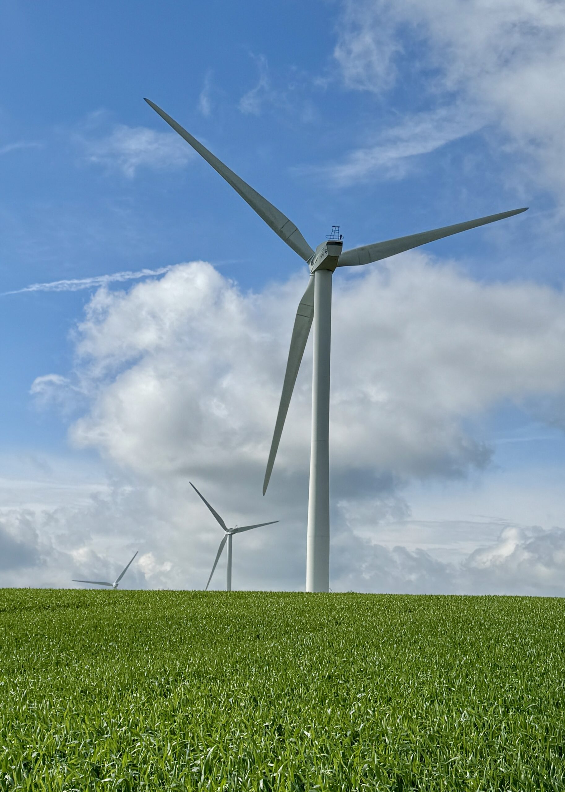
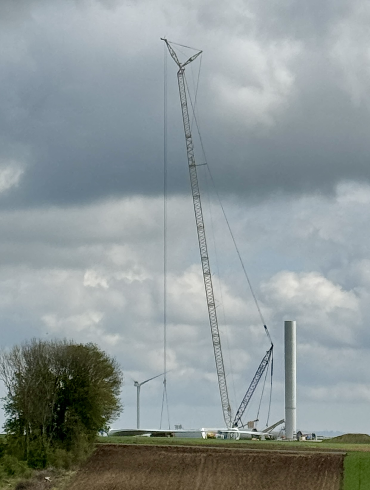
Many new turbines are going up.
The blue dot is moving!
Day 6 AllTrails Stats
Distance: 18.3 km / 11.4 miles
Elevation Gain: 437 m / 1,434 feet
Steps: 27,419
Relive: https://www.relive.cc/view/vYvE2m2JpGO
Accommodation: Gîte Eden, Thérouanne
The Blue Dot is on the Continent!
Days 1-6 AllTrails Cumulative Stats
Distance: 113.6 km / 70.6 miles
Average Daily Distance: 18.9 km / 11.8 miles
Elevation Gain: 2,690 m / 8,825 feet
Steps: 176,873
Back by popular demand, here””’s Chris!
Wow- this opener, filled with the usual historic visual wonders, ends with a cliff-hanger!
Will the cursed foot heal? Will Chris be able to re-commence his path? Will we get to continue our arm-chair journey vicariously with the great explorer and philosopher of life, our dear Chris?
Can’t wait for the next episode!